Sequoia National Park is just one of those places that has intimidated me ever since I moved to California.
For some reason, I've been able to tackle all the unforgiving deserts—but give me giant sequoia trees, and I shrink away at the enormity of it all. (I feel the same about Yosemite.)
So even though I've been spending 6-8 hours a day on my book—in addition to working full-time—I took the opportunity to join some friends who were headed up north to Sequoia-Kings Canyon for the weekend.
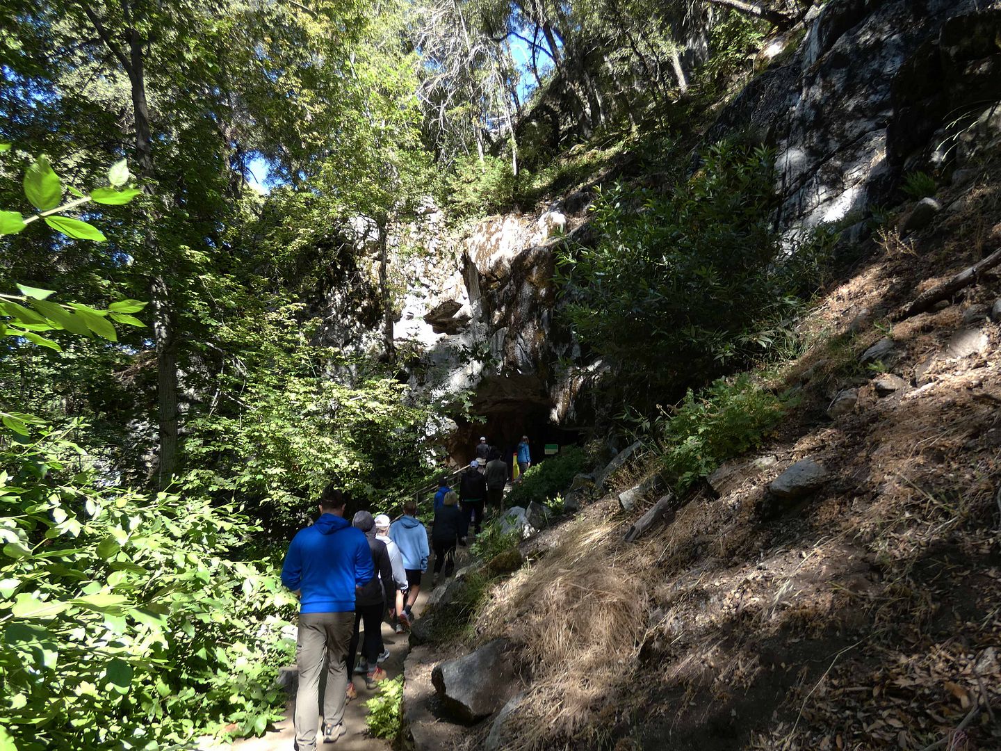
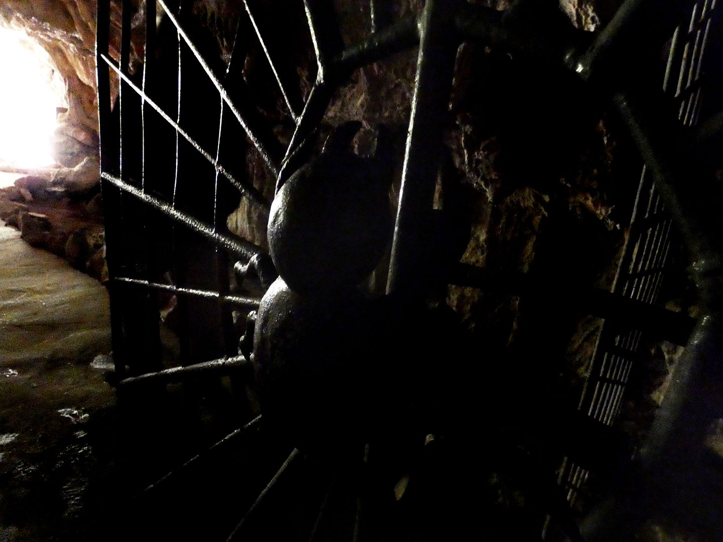
Their main draw? Touring Crystal Cave after its four-year closure.
There are a few magic phrases in this life that can make me spring into action, like saying "Open Sesame" to a secret passage door hidden in a bookcase. One of them is "never open to the public," and another is "reopened after being closed."
Needless to say, I didn't think twice.
A number of natural factors caused the public tours of the cave to cease—first, the 2021 KNP Complex fire, and then the winter storms of 2023. Up until then, it was the only publicly accessible cave in the combined national parks of Sequoia and Kings Canyon.
That might not be what I said out loud, but it certainly was what I was thinking.
We'd spent the day driving from LA to Sequoia National Park—and I was already battling altitude sickness just from the little walk to the General Sherman giant sequoia tree.
But it wasn't my trip—I wasn't in charge of the schedule, which is how I wanted it—so I had no choice.
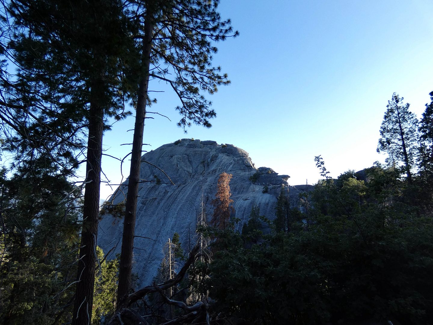
We were going to climb Moro Rock to watch the sunset.
Not to be confused with Morro Rock near San Luis Obispo, Moro Rock in Central California's Sequoia park is a dome-shaped granite rock formation that's more for hikers than rock climbers.
It was a disappointing spring for wildflowers. The only ones I'd seen were along Highway 178 between Inyokern and Lake Elizabeth—and I hadn't had much time to stop and enjoy them during my drive.
So when I was invited to once again tour Tejon Ranch, I was hopeful I'd see some spring blooms. After all, some of the best wildflower displays I've ever seen have been there.
Then again, I've also seen Tejon Ranch totally brown and dried up. So there were no guarantees.
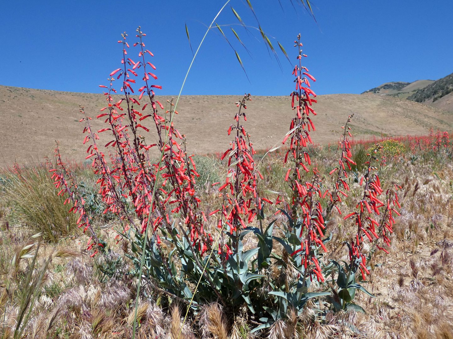
I was pleasantly surprised what awaited us. No superbloom by any means, but plenty of color in a feast for the eyes, like the red penstemon...
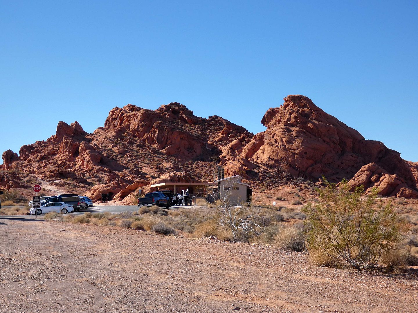
I seem to visit Valley of Fire every 11 or 12 years—my first time in February 2001, my second in October 2013, and my most recent in November 2024. But since it spans a whopping 40,000 acres, there was plenty more I could see.
This time I was at the eastern end of it, staying at a hotel in Moapa Valley and entering the park from the Northshore Road Toll Gate off Highway 169.
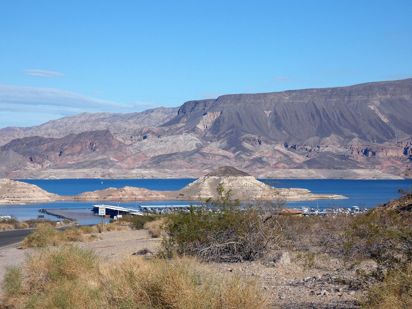
Nevada's Lake Mead has been a source of much fascination for me—from the construction of the Hoover Dam (which formed the lake out of the waters of the Colorado River) to the flooding of nearby towns (like St. Thomas).
But while I'd spent some time around the lake—peering at it from a zipline at Bootleg Canyon, hiking around it through decommissioned railroad tunnels, even looking down at it from the dam itself—I hadn't yet had the chance to explore the lake from the lake itself.
"Oh, we're closed for the summer. It's going to be too hot out."
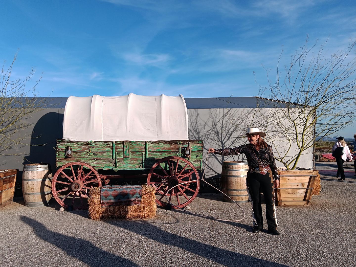
That's what they told me when I called to book a covered wagon tour of the San Andreas Fault near Palm Springs for myself back in 2009, when I'd just arrived for a month in Joshua Tree.
It was unseasonably cool that June. But temps in the High Desert can easily be 20 degrees lower than in the low desert.
And they were right—because within a week of my arrival, the thermometer hit three digits. And it just kept going up over the course of my four-week stay.
Somehow, I never managed to get around to calling Covered Wagon Tours again, despite having returned to the area many times—and in much friendlier temperatures, usually in the winter and spring.
That changed last month, when my friend John was in town for a work conference and mentioned that one of their optional off-site activities was a covered wagon tour. I burst out with an "Oooh!"
Update 9/2/23 12:44 AM PT—According to a press release from Friends of the Inyo, a federal appeals court reversed a prior decision from a lower district court and overturned the U.S. Forest Service’s 2021 approval that allowed gold-mining exploration Inyo National Forest’s Long Valley area. This may not be the end—but it's a victory for now.
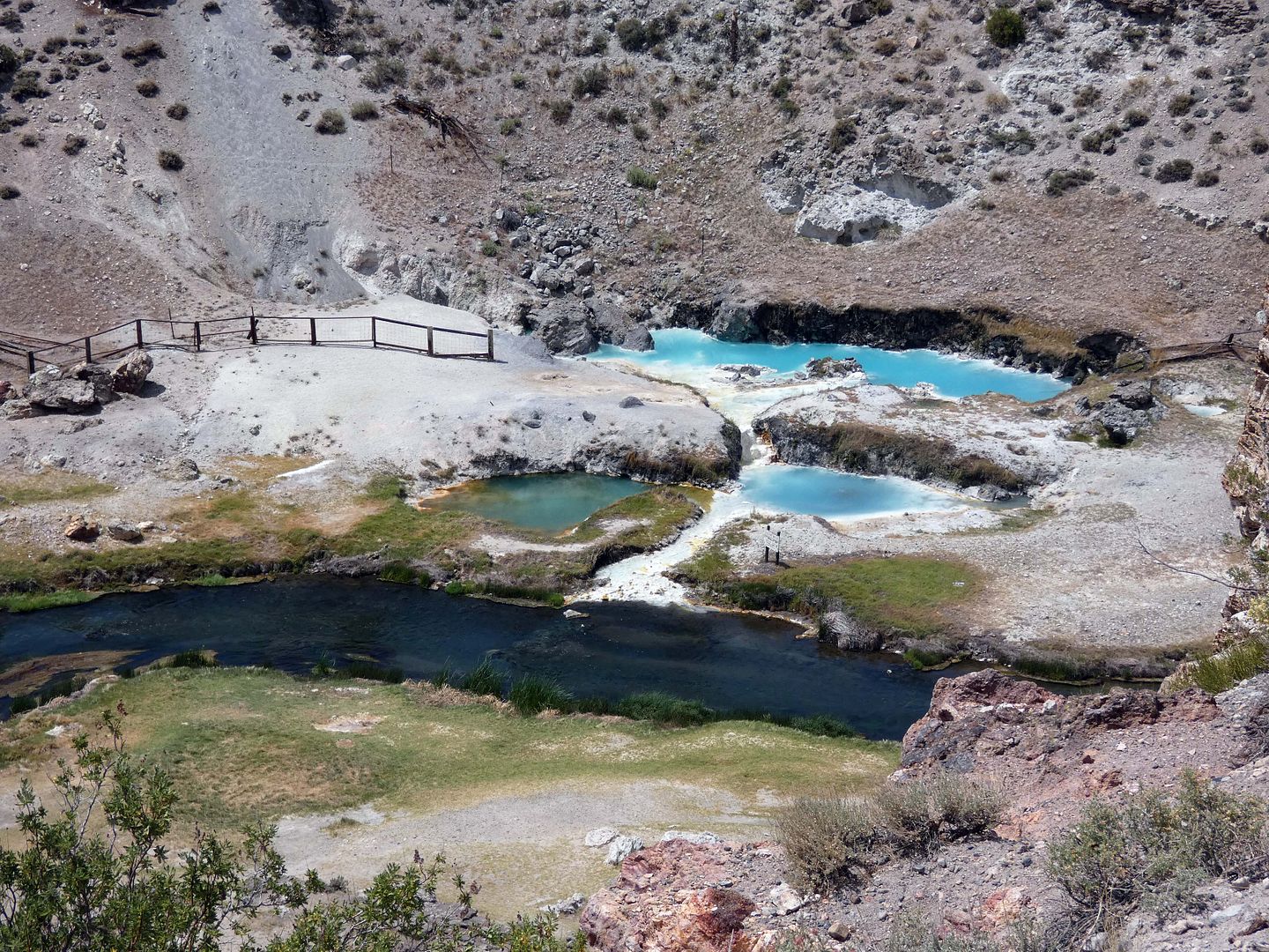
In Mono County's Hot Creek Gorge in the Eastern Sierra, a colorful display of bright blue, green, and turquoise indicates where boiling water bubbles up—after percolating deep underground in a thermal aquifer near hot, subterranean magma located about 3 miles beneath the surface.
At the geological wonder known as Hot Creek Geologic Site, water heats up and is pressurized far beneath the earth in a literal hotbed of geothermal activity.
I didn't plan on having much time to kill in the town of Hemet, California this past weekend. But I also didn't plan on arriving late to my 8 a.m. bird walk on privately-owned wetlands and being locked out after getting up at 5:30 in the morning and driving two hours.
But so goes a life of adventure, when disasters turn into happy accidents—like stumbling across my first wildflower field of 2023, located on the road to the Hemet Maze Stone, where my morning took an unexpected turn.
I knew they hosted other field trips—wildflower walks and such—so I was always hoping for an excuse to return to the area, which I usually just pass through on my way to the Eastern Sierra.
But the China Lake Naval Air Weapons Station hasn't reopened to the public since the COVID-19 pandemic—and it's still got $2 billion worth of repairs to make, after two earthquakes in 2019 shook it to its core.
That unfortunate situation opened up the opportunity for Maturango Museum to pivot to other field trips—including one that focused on the visible signs of those very same earthquakes that damaged the naval base so badly.
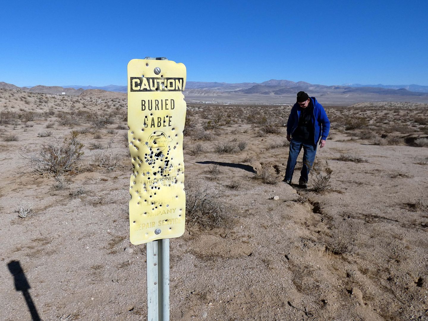
So, led by geologist (and former BLM desert ranger) Glenn Harris, we caravanned from the museum to multiple sites that were within striking distance from the epicenters of the 6.4 earthquake in Searles Valley on July 4, 2019 (the "foreshock") and the 7.1 in Trona on July 5, 2019 (the "mainshock").
(Although these quakes could be felt in Los Angeles, and even as far north as the Bay Area, at the time I was traveling in Northern California and Oregon for the Fourth of July weekend—in Lava Beds National Monument and Lassen Volcanic National Park on July 4 and Crater Lake and Klamath Falls on July 5.)
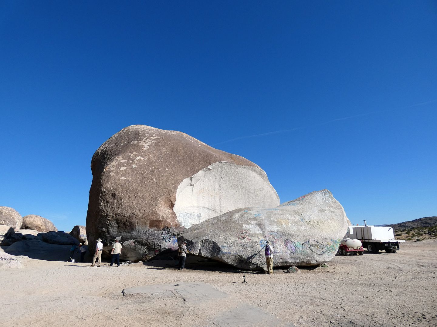
Once thought to be the world's largest freestanding boulder, Giant Rock in the High Desert town of Landers, California has somewhat mystified me over the years...
...not only as the former site of UFO conventions...
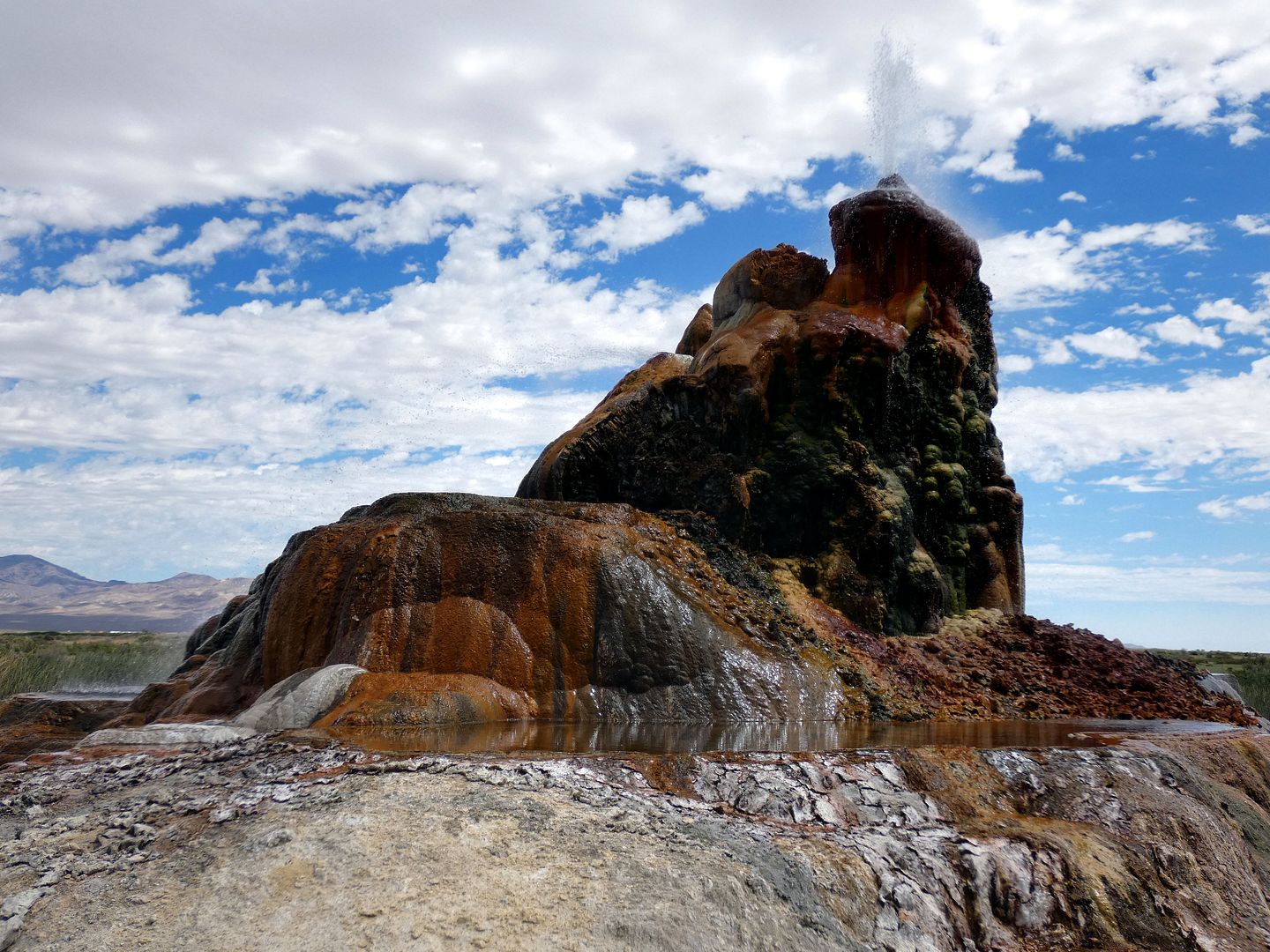
I'd had a chance to join a group of friends on a nature walk to Fly Geyser back in 2018, the first year it had opened to the public in over two decades.
But on the date of their trip, I was already making up for another trip I'd missed with that same group of friends.
I feel like I'm always behind on everything.
Every opportunity taken is a missed opportunity to do something else.
So only four years later, I managed to nab a reservation through Friends of Black Rock High Rock, the non-profit that controls public access to the natural wonder (with an incredibly restrictive photo policy).
I've already posted about a couple of adventures I've had recently with Rim of the World Historical Society, based in the mountain communities of the San Bernardino Mountains.
But I haven't shared why I joined the historical society in the first place—and it starts with Huell Howser, the local celebrity of regionally-focused TV shows that highlight various California landmarks and attractions.
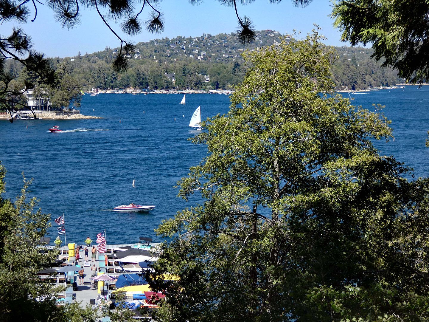
One of the sites he visited for one of his episodes of California's Gold was Lake Arrowhead, California—not just the town, but specifically the lake.
And specifically part of the manmade lake's infrastructure—starting at a stone structure that contains a 19th-century elevator down a 185-foot vertical shaft that leads to "Tunnel #1."
I've pretty much come to terms with the fact that there are some places on my Bucket List I'll never be able to cross off—maybe because I haven't got the means to get there, nor the will to keep trying.
Or maybe some of those places will simply cease to exist before I get to them—from burning down, being torn down, or simply washing away.
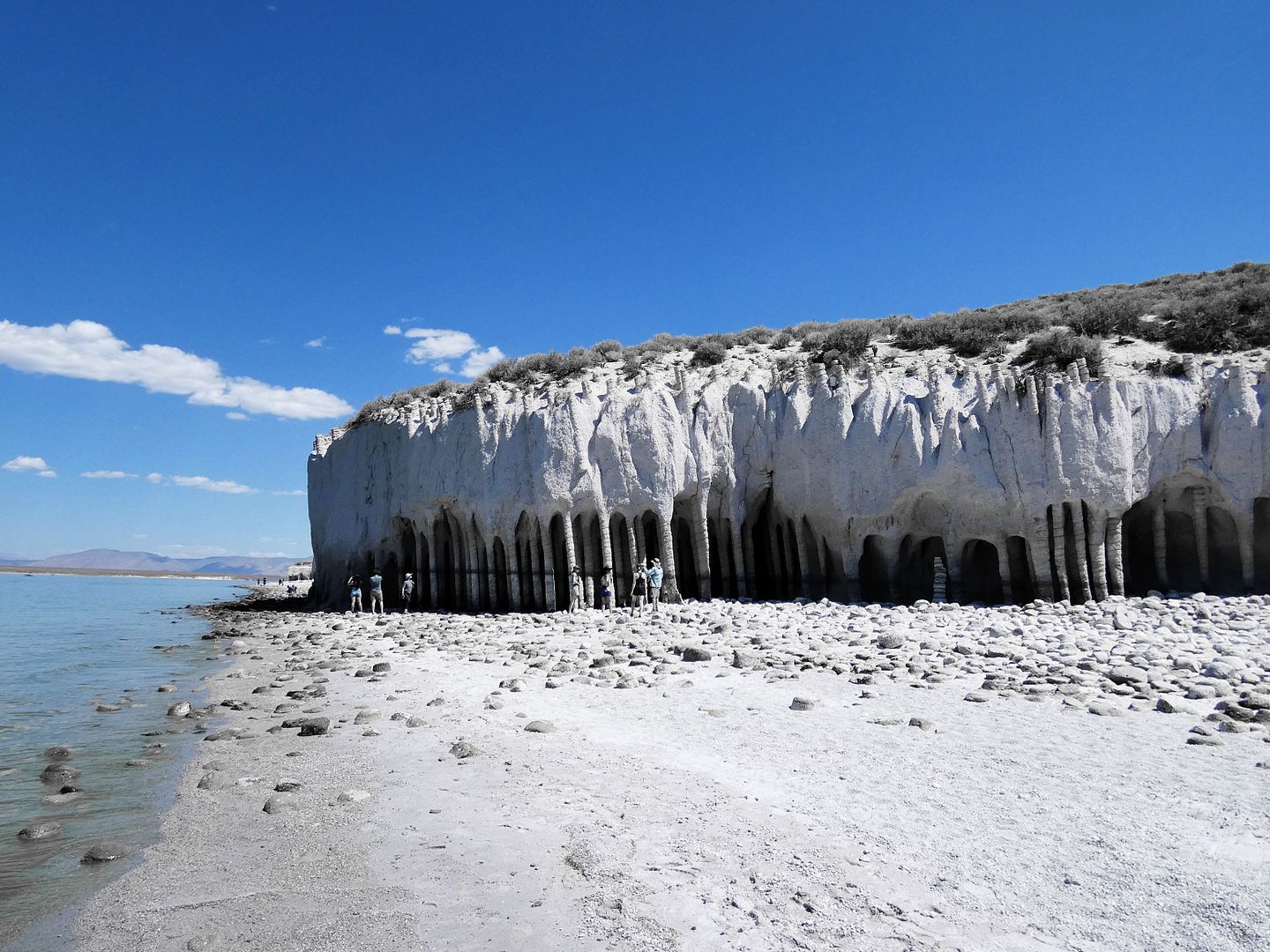
So, when a friend invited me on a trip up the 395 to visit the hard-to-reach and only seasonally visible Crowley Lake columns in Mono County, of course I said "yes"—and of course I prepared for abject failure.
At one point a few years ago, I'd set off to visit and document all the historic ranges in the Santa Monica Mountains National Recreation Area and its environs.
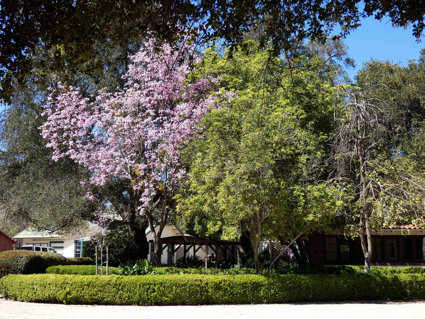
But somehow after 10 years in LA, I still hadn't made it to Orcutt Ranch.
Maybe it's because its name didn't carry the same weight for me as "Paramount Studios" or "Lake Enchanto" or "Gillette" (of the razor empire).
Its namesake, William Warren (W.W.) Orcutt, was a SoCal oil geologist and Union Oil exec whose name is less recognizable to us today than perhaps it was in his heyday. (Or, at least, to me—a California transplant.)
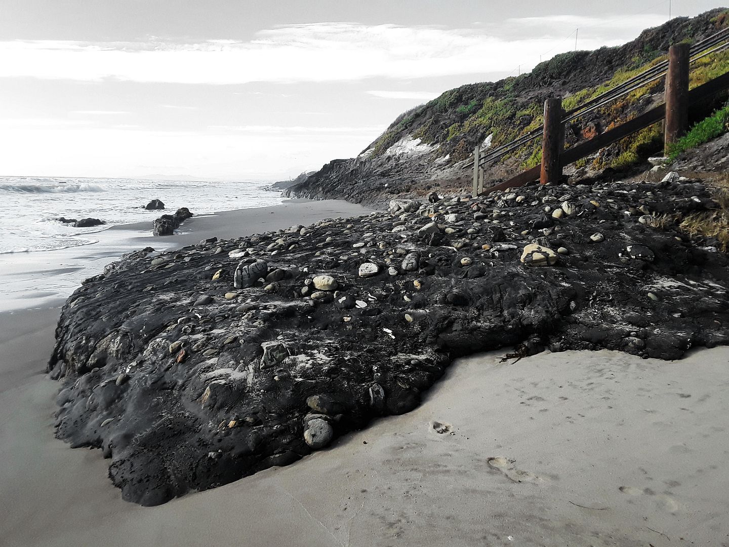
Unlike on Hawaii's black sand beaches, the black you'll find on certain SoCal beaches—especially at the southernmost section of Carpinteria State Beach, just south of Santa Barbara—isn't exactly exotic or romantic.
By 1886, the Southern Pacific Railroad had reached as far as Paso Robles, California.
But it wasn't until 1894 that railroaders figured out how to conquer a seemingly impassible stretch of terrain—called the Cuesta Grade—so it could join up with the Pacific Coast Railway in San Luis Obispo.
To get a train to make the twists and turns necessary to ascend and descend the steep incline, engineers had to blast over million cubic yards of rock (some of which included California's state rock, serpentinite).
The resulting tracks—now owned by Union Pacific, which operates its freight trains on them—currently cut through the private La Cuesta Ranch and pass Cal Poly and the California Men's Colony on their way to Seattle.
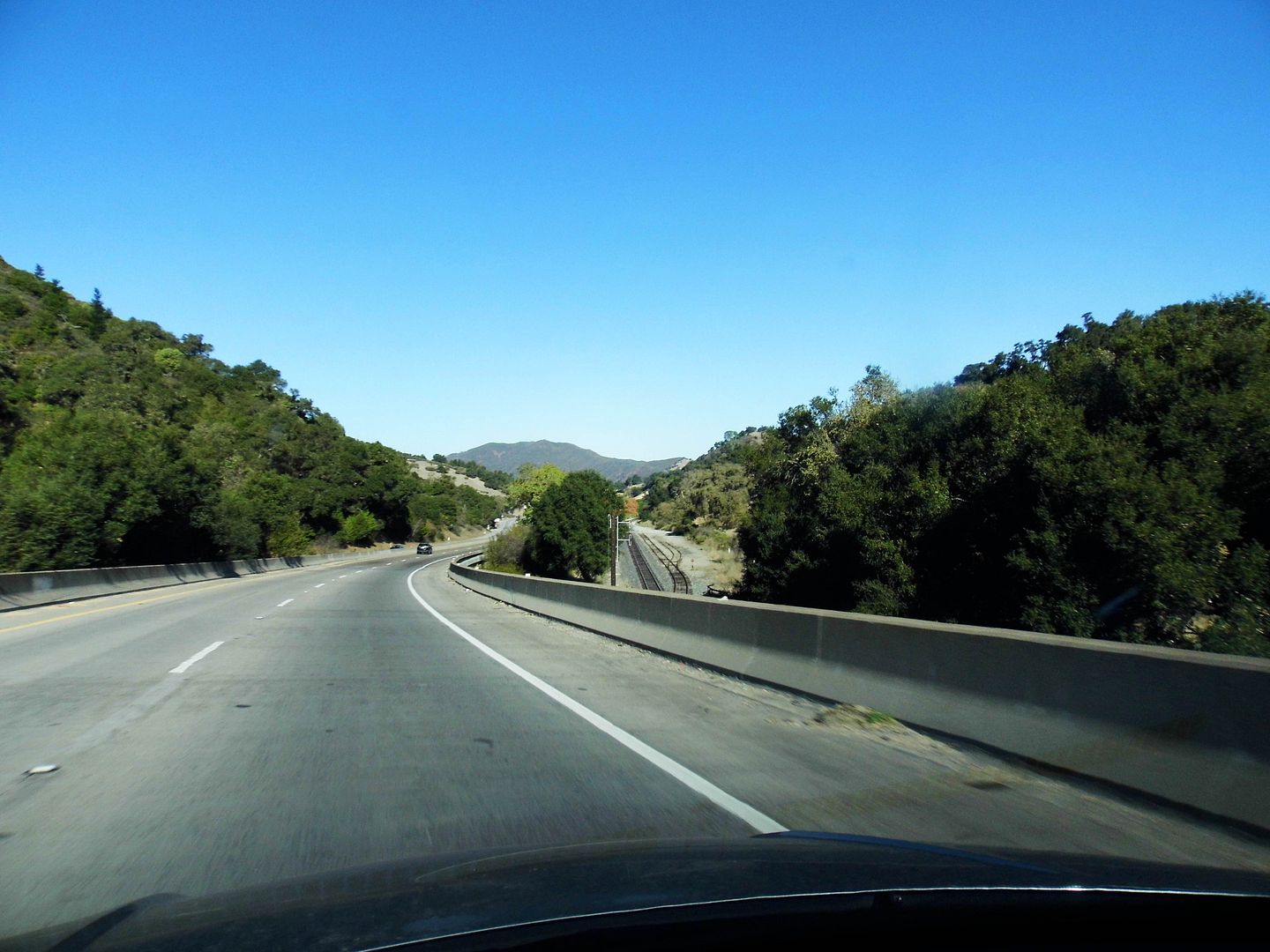
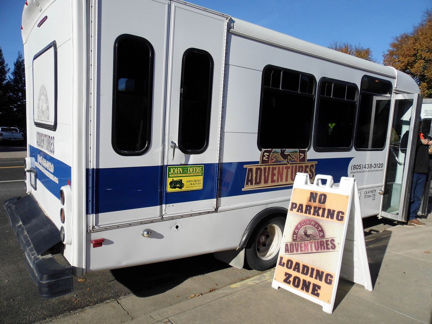
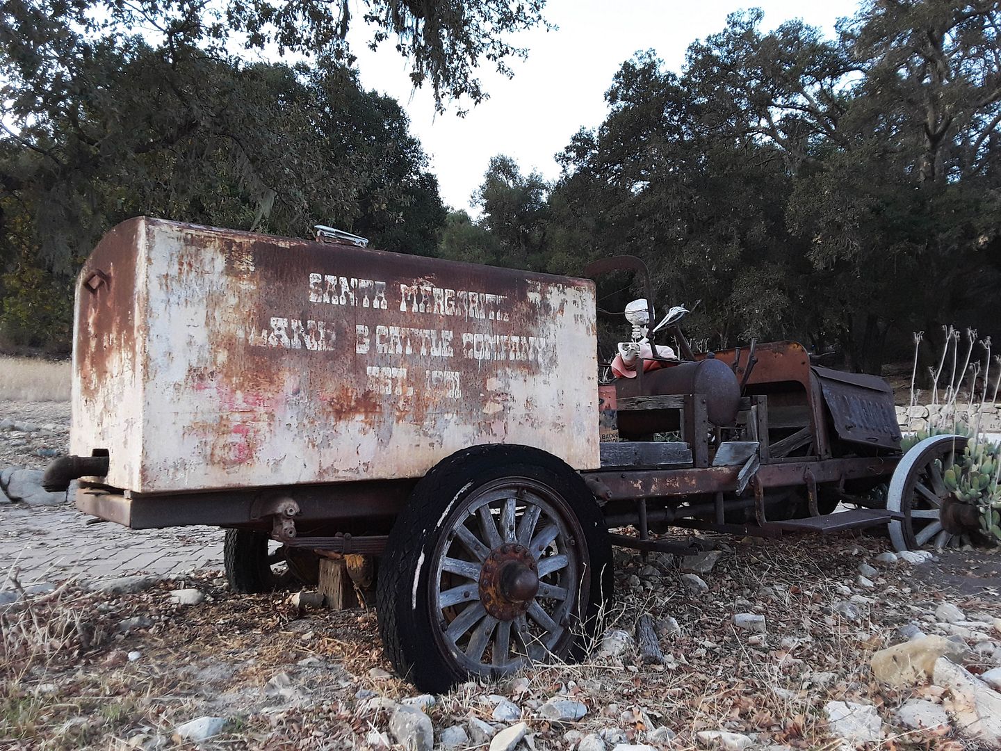
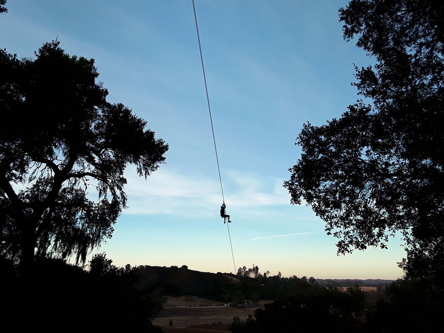
Last year, I took a summertime wine train across the Cuesta Grade and through its tunnels. But this year, I drove across the Cuesta Pass (on the 101 Freeway) to visit the town that built the Cuesta Grade—Santa Margarita—and to go ziplining through Santa Margarita Ranch with Margarita Adventures.
In 1841, Joaquin Estrada received the Mexican land grant of Rancho Santa Margarita (not to be confused with Rancho Santa Margarita y Las Flores), former mission land that included Santa Margarita de Cortona Asistencia, an agricultural outpost of Mission San Luis Obispo. He converted it into a successful cattle ranch—but, after frittering his money away, had to sell off his land in order to pay off his debts.
In the 1880s, the new owners of Santa Margarita Ranch (the Murphys, a family of "Irish Californios") established a waystation for passing stagecoaches along El Camino Real—which was the only way to complete the trip from San Francisco to San Luis Obispo. That is, until Southern Pacific Railroad constructed the railroad through the Cuesta Grade.
Southern Pacific set up its headquarters on its new landholdings in Santa Margarita, with its subsidiary Pacific Improvement Company transforming part of the area into a railroad company town. It's pretty much the same size today as it was upon its founding—and Santa Margarita Ranch, still privately owned, still features the historic ranch house and asistencia building.
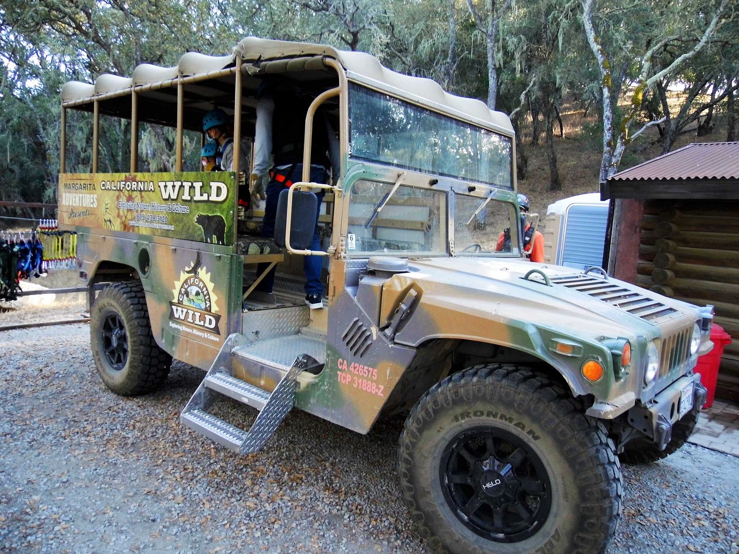
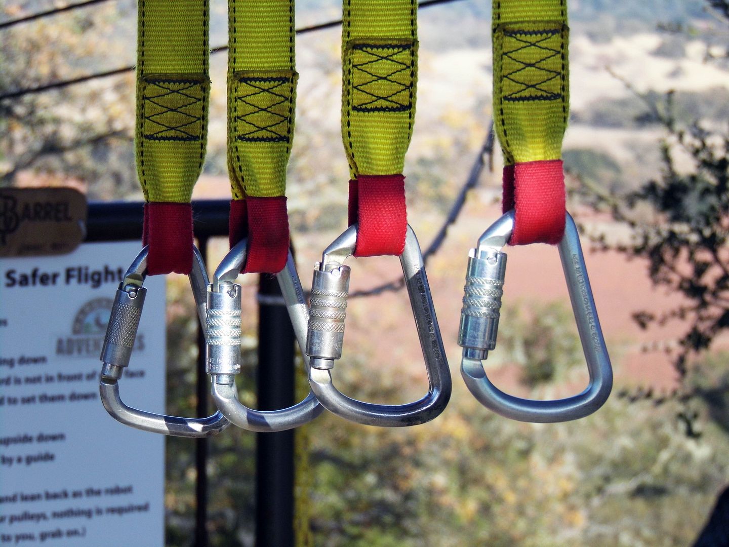
I didn't get to visit those historic sites (or other outbuildings) during my first visit to Santa Margarita Ranch, though. Once the Margarita Adventures van dropped us off at its staging area, we were too busy getting geared up with helmets and harnesses for our upcoming gravity-defying excursion.
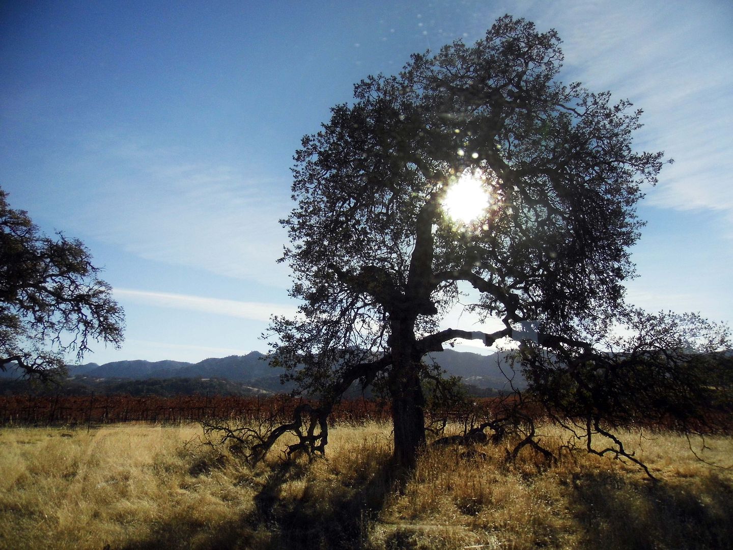
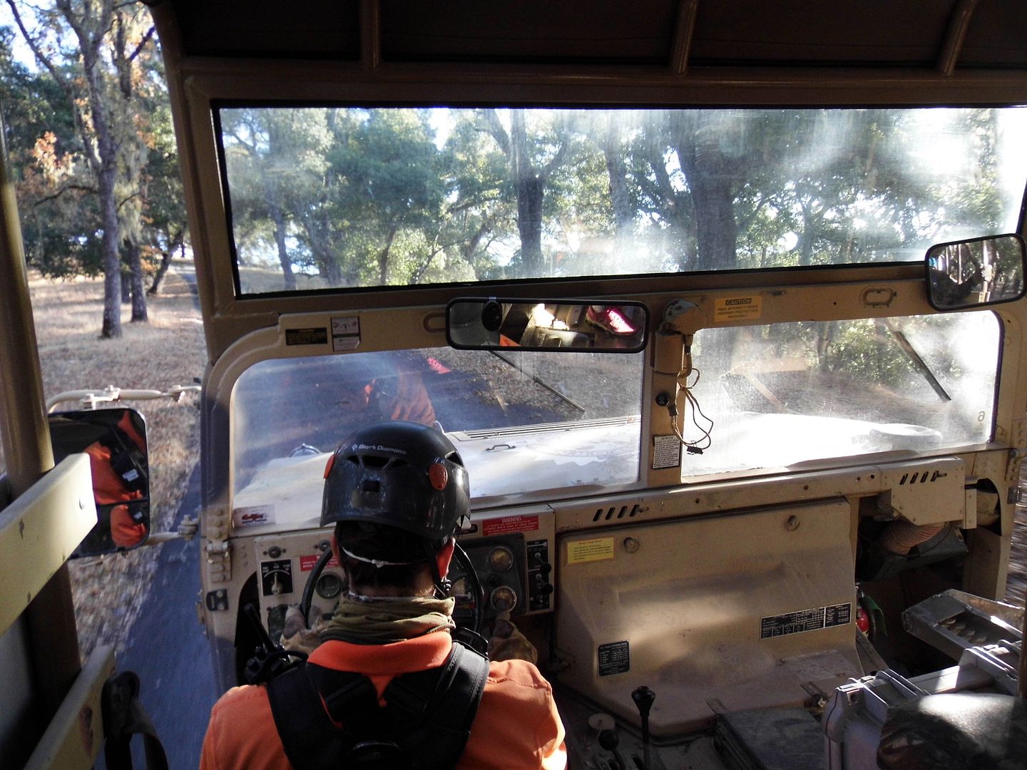
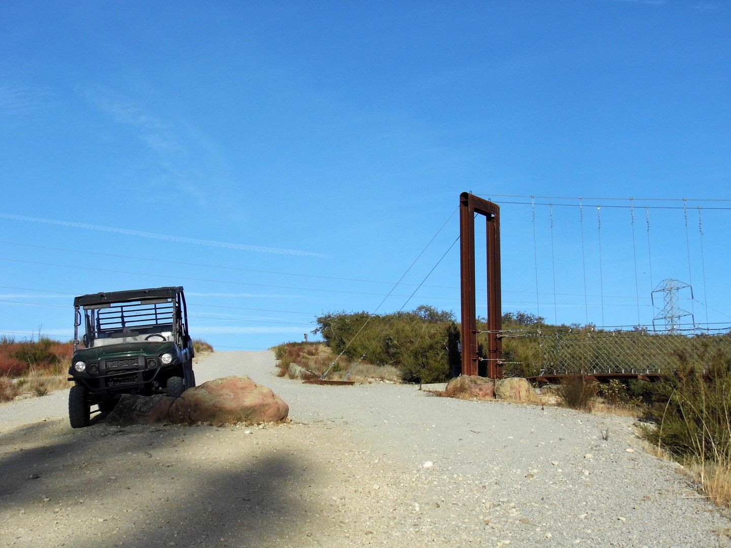
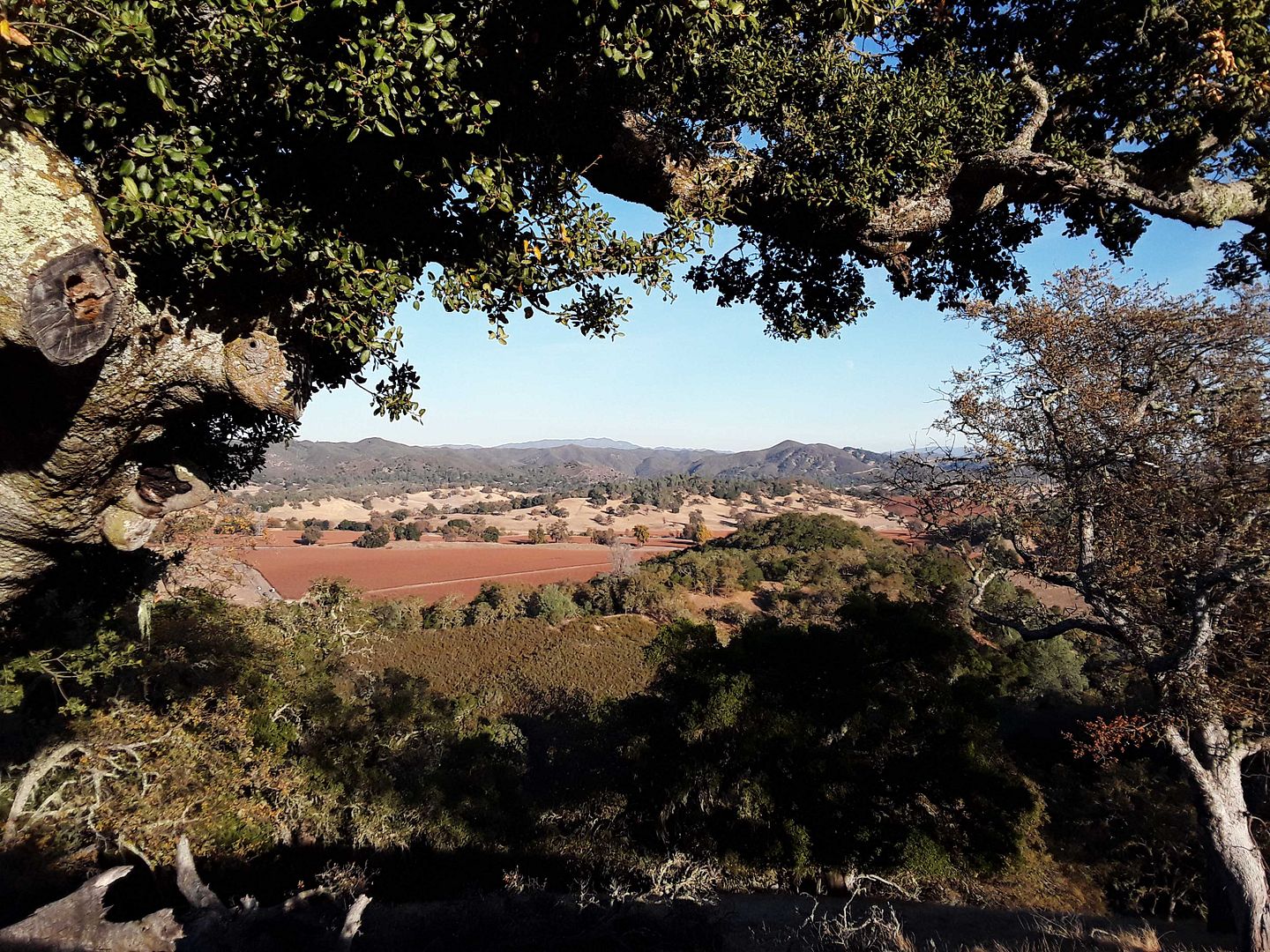
Switching over to a more touring-style (yet seemingly military-grade) jeep, we rode a bit more through the still-working cattle ranch (one of the oldest continuously operated of its kind in the state)....
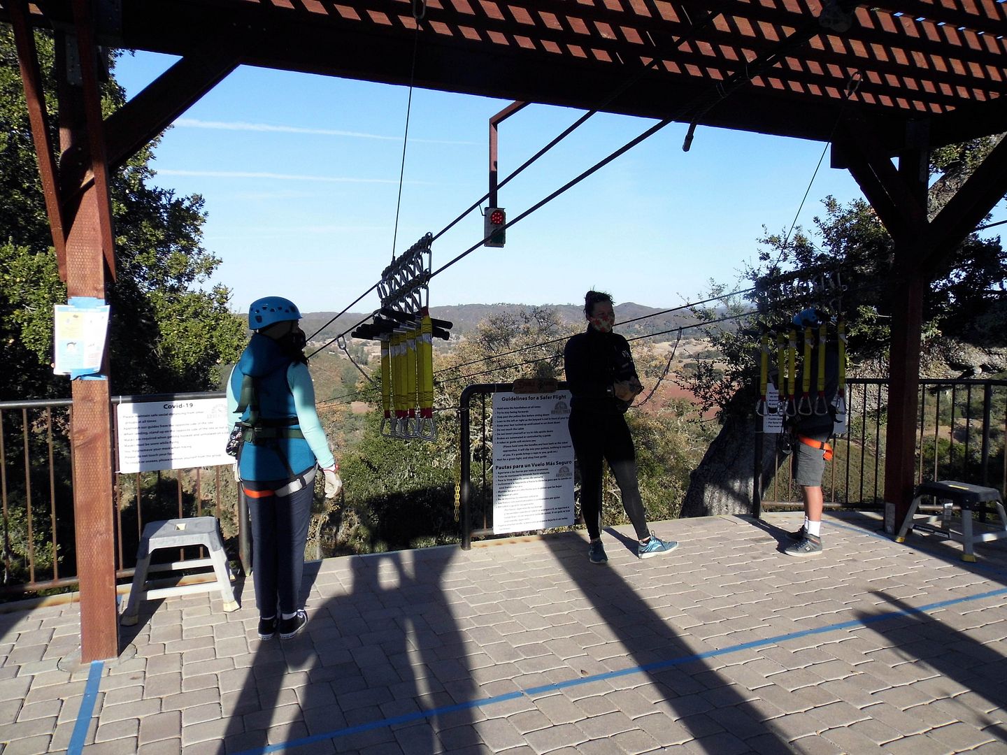
...until reaching the first of the 6-line course, called The Double Barrel.
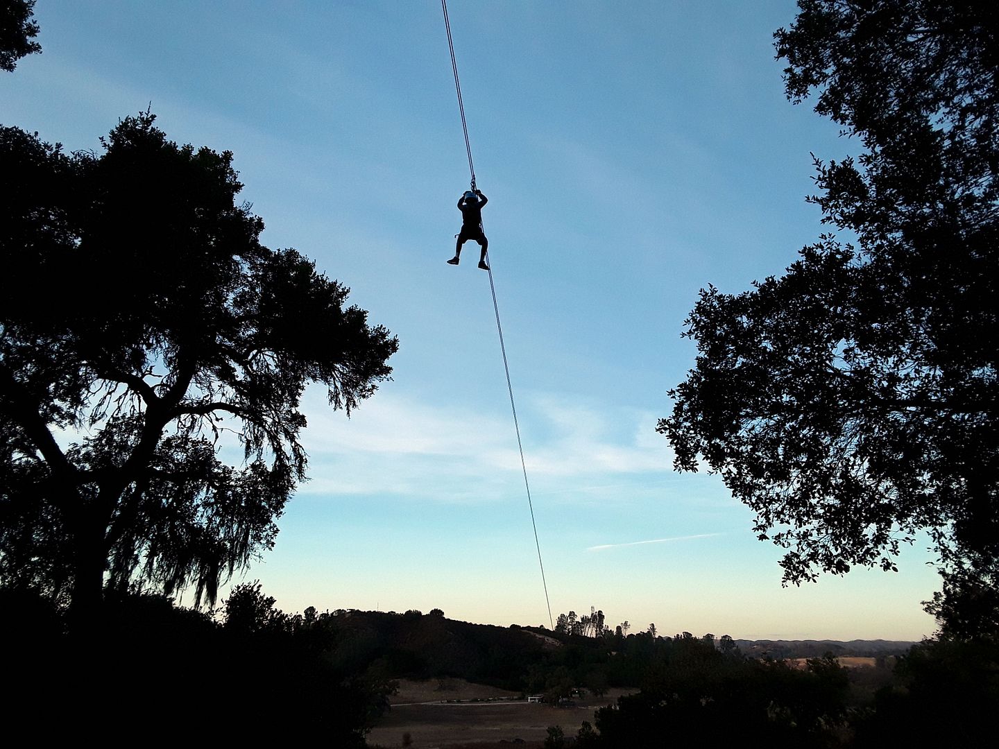
It's a "racing" line—like a racing-style (or "dueling") rollercoaster, with two 2,800-foot lines running parallel to one another. It makes for a heart-stopping start to the two-hour zipline tour, that's for sure.
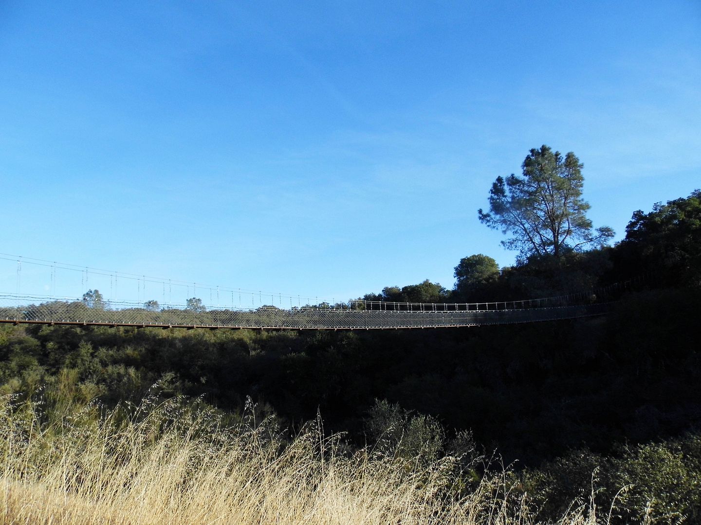
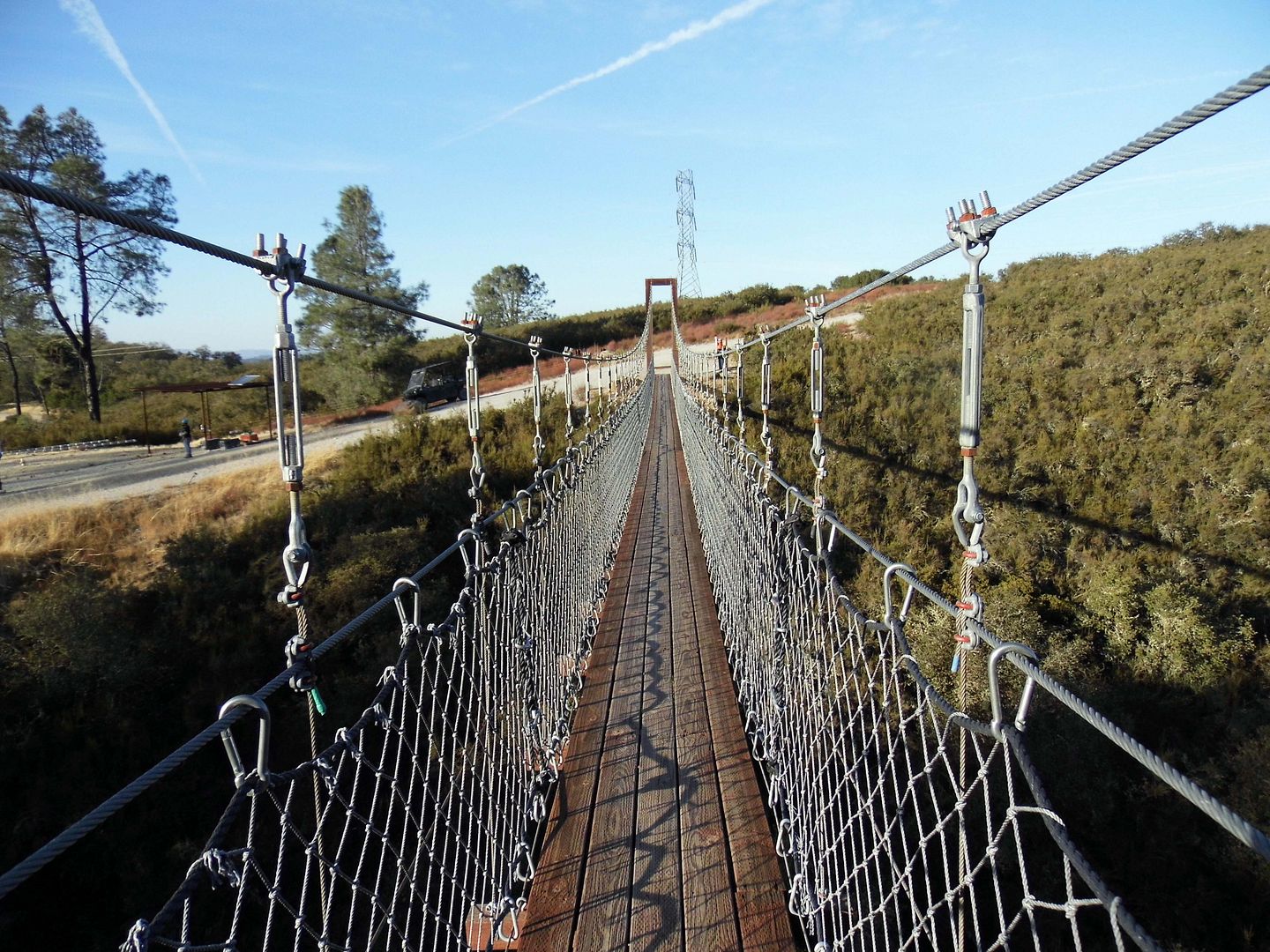
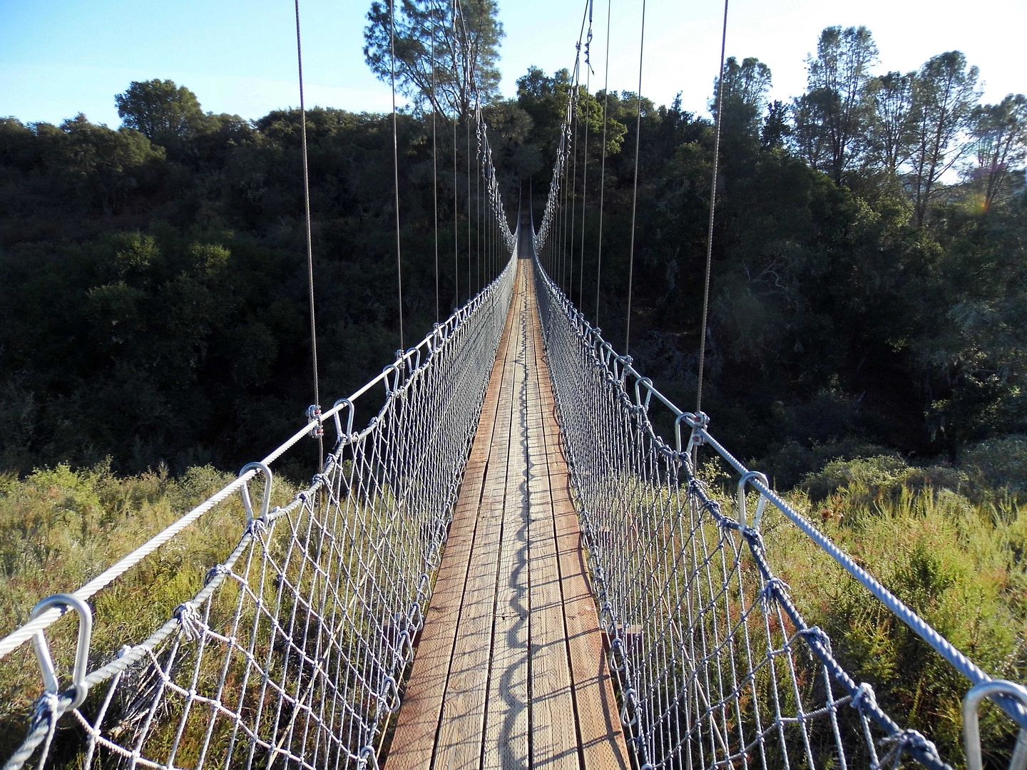
But what really got me was walking across the narrow, 300-foot suspension bridge that connects the first and second ziplines.
When the zipline course first opened, it only featured five lines. The first stop on the current course is actually the sixth and final line to be added—and the only pesky thing separating the bottom of it from the top of the next one was a deep canyon.
I'd crossed a bridge like this once before—at the now-defunct Navitat in Wrightwood, California, tucked away in Angeles National Forest. I did not enjoy it back then, in 2012; and I didn't enjoy it eight years later, either.
As I walked alone across the bridge and hiked my way to the second line—The Renegade—I found myself hyperventilating and nearly ready to quit. For some reason, I could zip thousands of feet while dangling from a wire—but setting one foot in front of the other for a few hundred feet on that bridge nearly defeated me.
As one of our zipline guides explained to me, there's a key difference: You've only got to take the first step to zip, while you've got to take every step to cross the bridge.
Afterwards, I managed to tackle the 1,200 feet of The Renegade, as well as 600 feet of The Woodlander (which runs over the canopies of native blue and white oak trees). Then there was the 430-foot length of The Hilltopper and another 800 feet through a natural archway of companion oaks (aptly named The Archway).
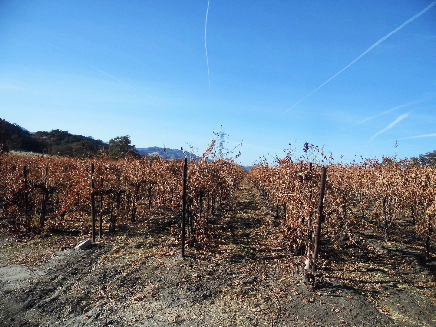
Finally, as the sun began to disappear behind the mountains, there was the 1,800-foot descent of The Pinot Express, a zipline over the ranch's pinot noir grapevines. Conveniently, there's the family-run Ancient Peaks winery tasting room across the street from the final drop-off point. And I sure had worked up a thirst.
But I'd never before ziplined at this age or this weight. And I'm not sure I want to do it again. My pulled muscle still hasn't healed. I'm still bruised from the strap that dug into my thigh.
I do, however, want to return to Santa Margarita Ranch—not only to see the historic structures, but to ride the rails of the narrow-gauge, steam-powered Pacific Coast Railroad.
I'm not sure how soon that can happen, but stay tuned.
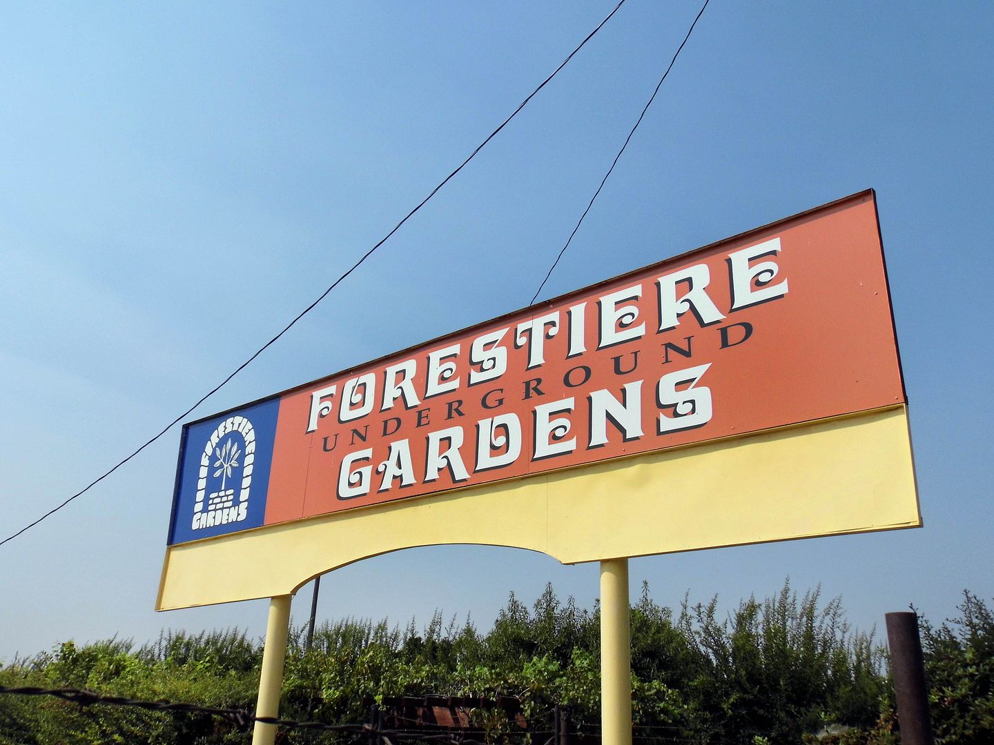
I chose one of the worst heatwave days of the year to cross Forestiere Underground Gardens in California's Central Valley off my list.
But that was just perfect—because its creator, Baldassare Forestiere, dug it out to escape the scorching summertime heat. So, I got to experience it just as he did—and for the very reason he excavated the site in the first place. It's 15 to 20 degrees cooler down there!
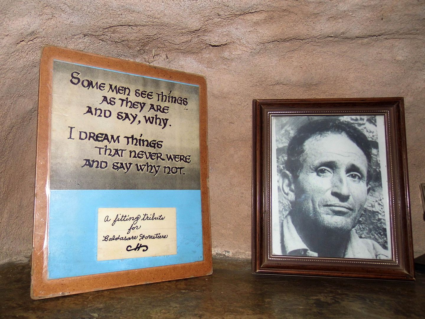
An immigrant from Sicily, Forestiere had become an expert tunneler while working on Boston's subway system. But he hated the snow and cold; so, he fled to California for the promise of a warm, tropical paradise.
Around the turn of the last century, Central Valley land was dirt cheap—and given its reputation as California's breadbasket, and its seemingly healthy topsoil, it's no wonder that Forestiere planned to become a farmer and till the earth.
He close 80 acres of the Winterton Tract, a subdivision of the Fruit Vale Estate, just 7 miles from Fresno's city center. Only, after just a bit of digging, he hit a layer of hard rock formed by the Ice Age —and had to come up with a Plan B.
Already an expert "sandhog," Forestiere made the most of the situation and returned to what he knew best. With just a few hand tools, in 1908 he began carving out what would become a California state landmark and be listed on the National Register of Historic Places.
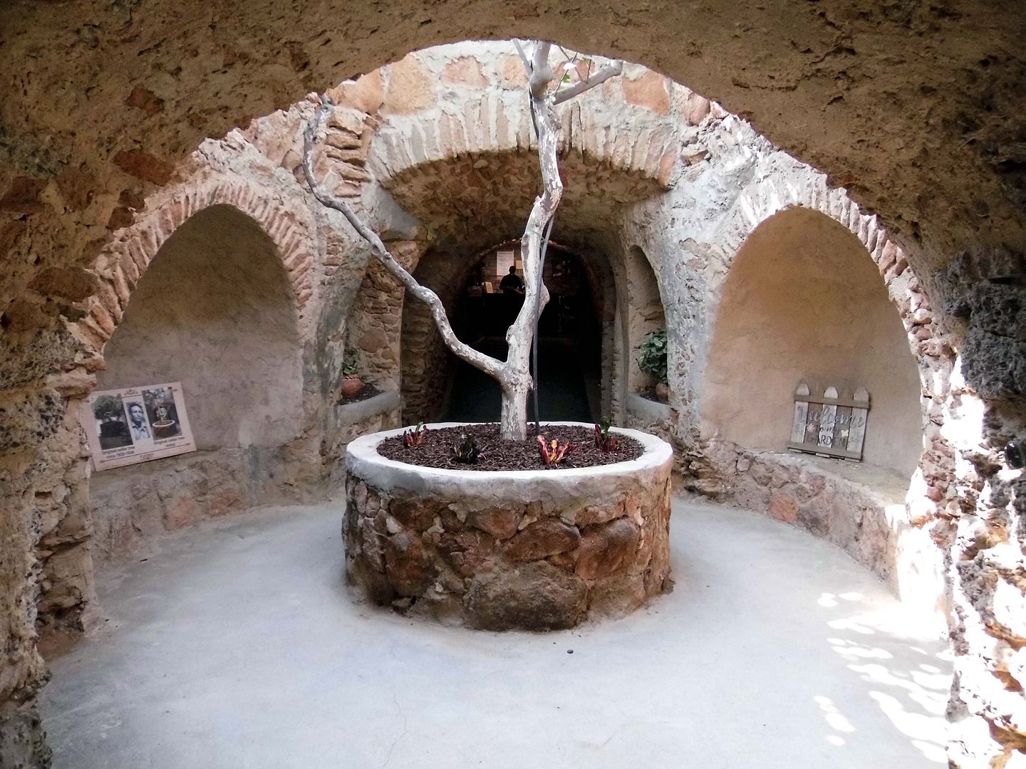
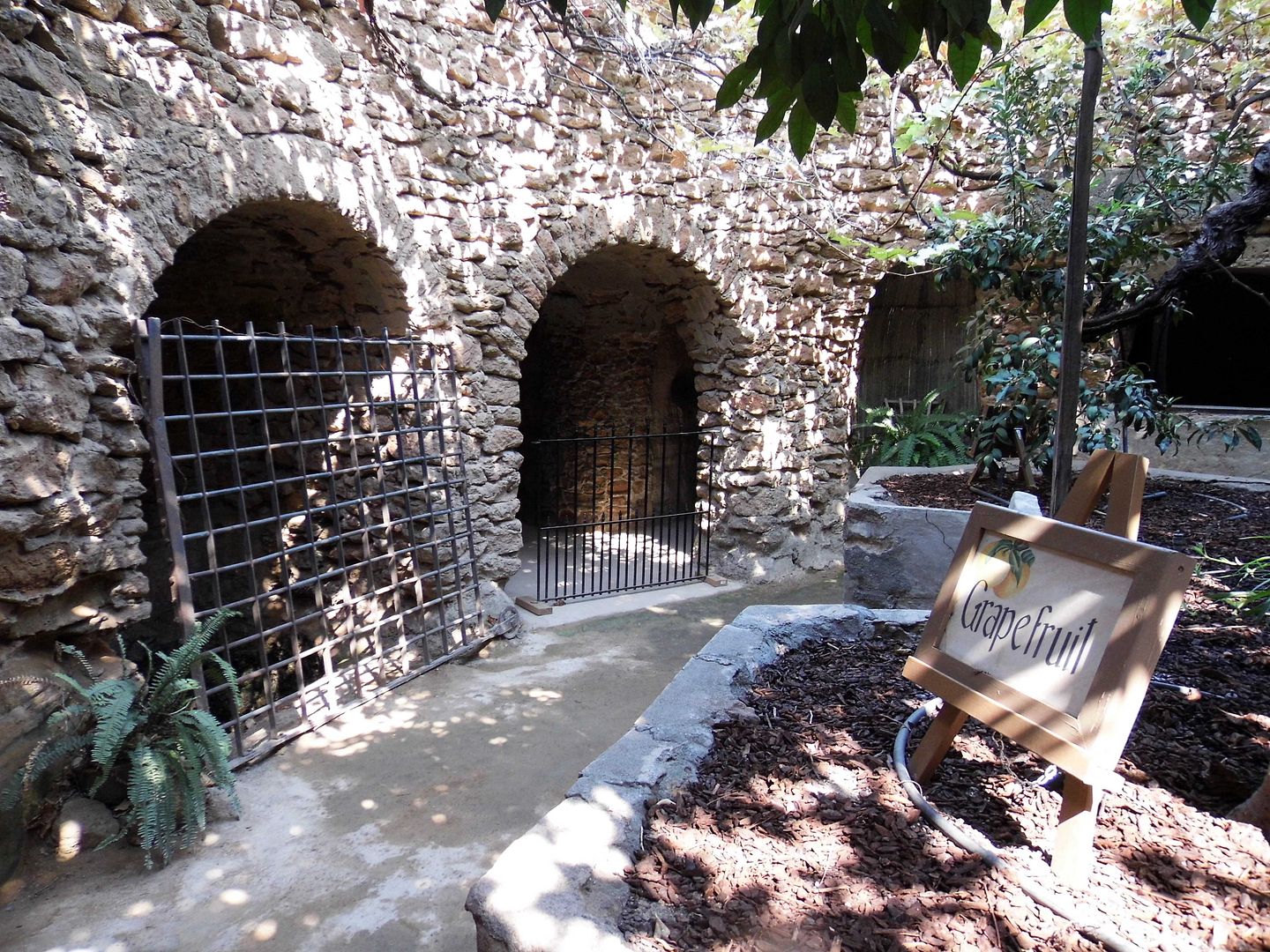
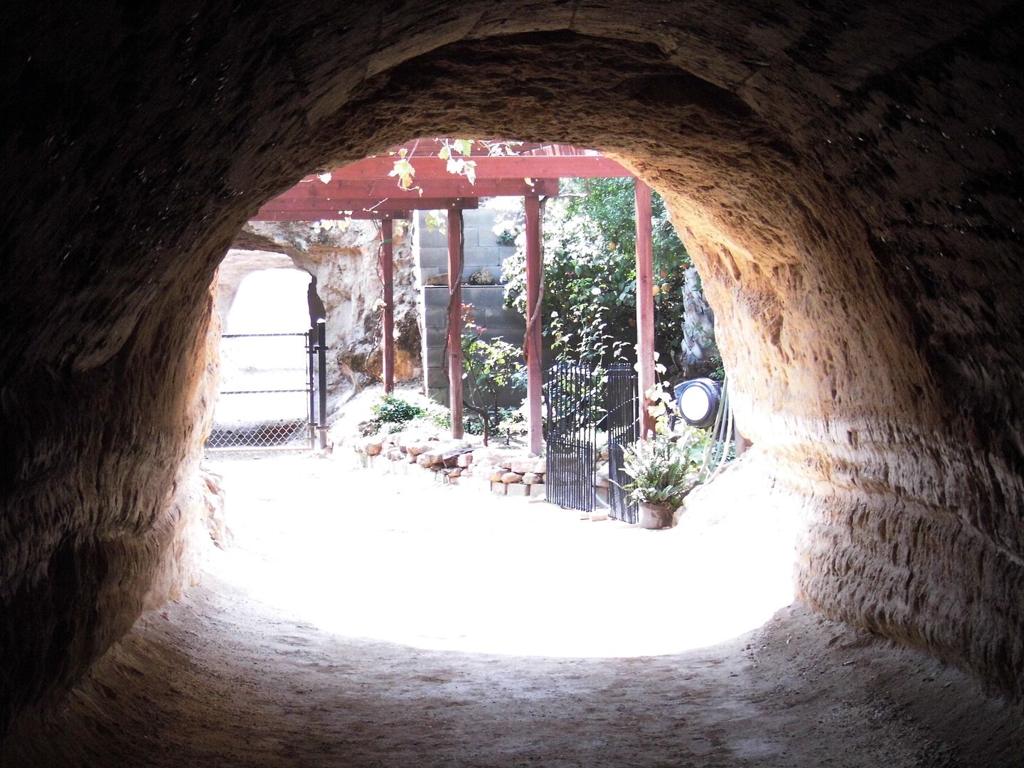
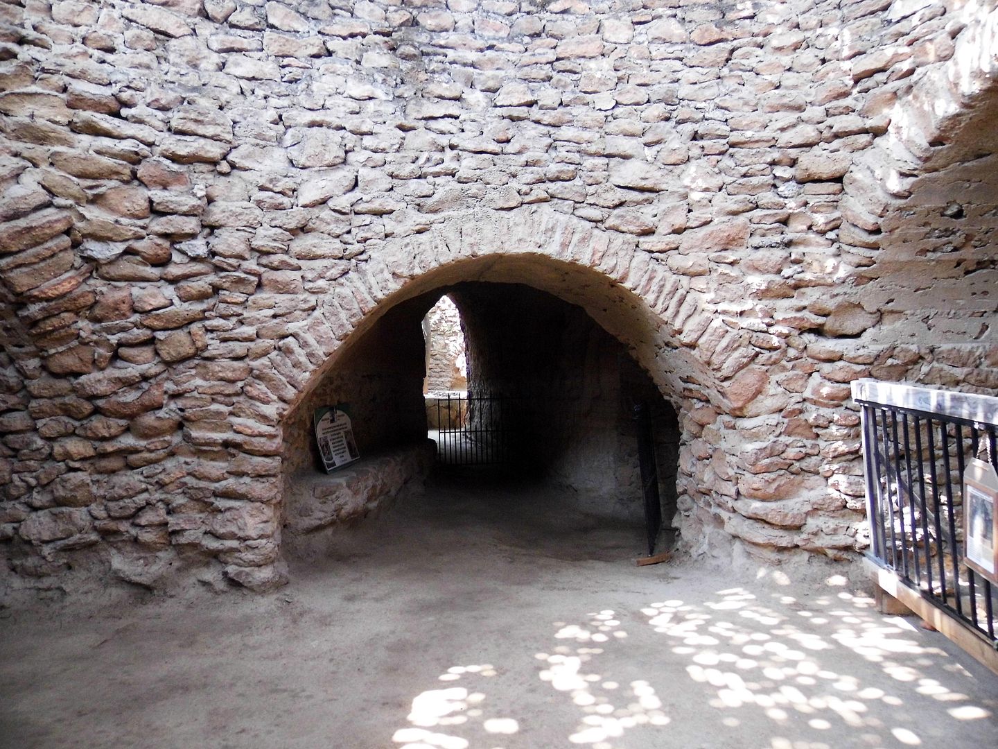
With all the inspiration he needed right inside his own head—and no written plans—Forestiere excavated 10 acres of what some have considered caves or grottos or even catacombs, using traditional architectural and engineering techniques of Roman arches (using wagon wheel molds) and domed ceilings.
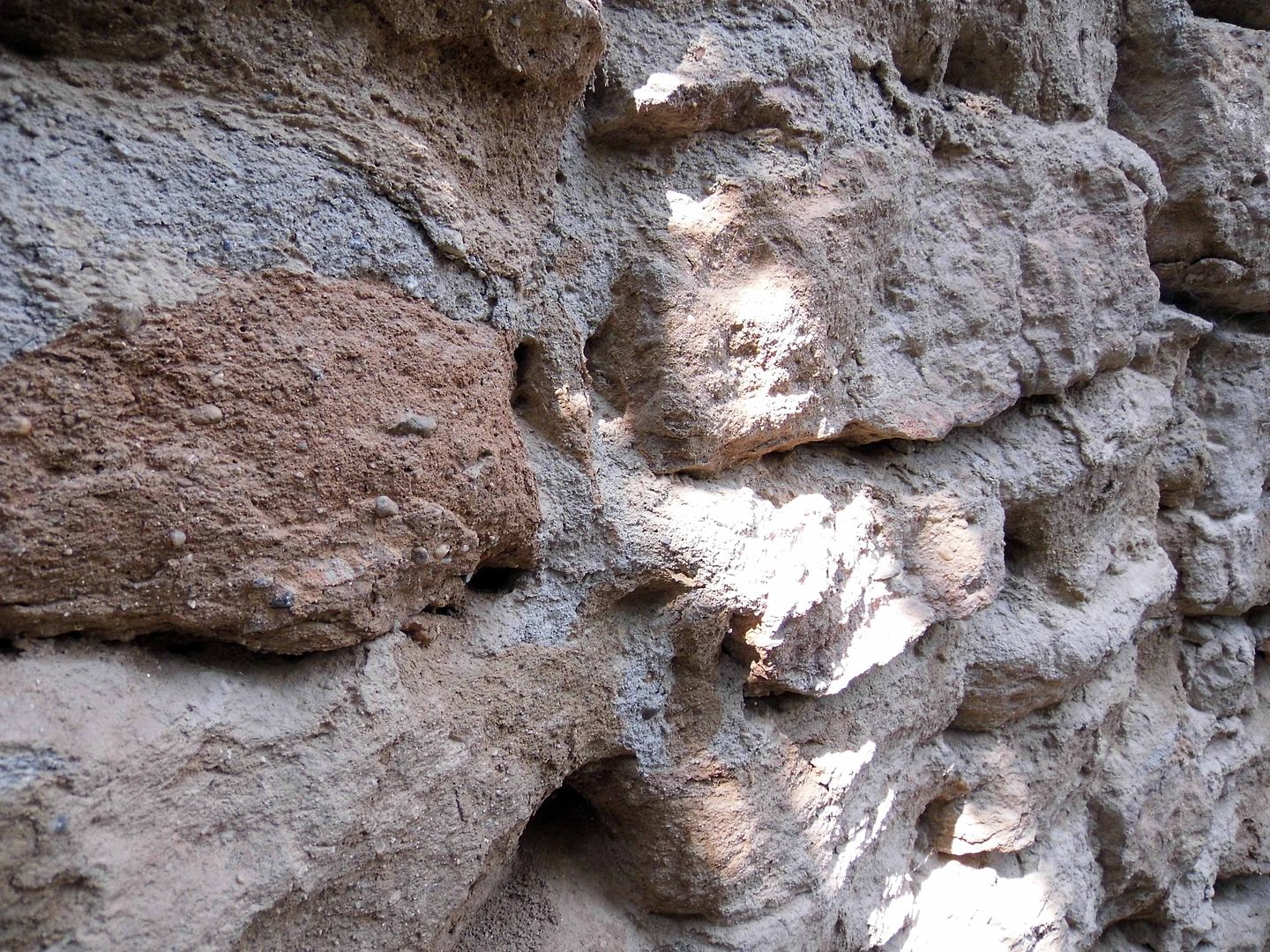
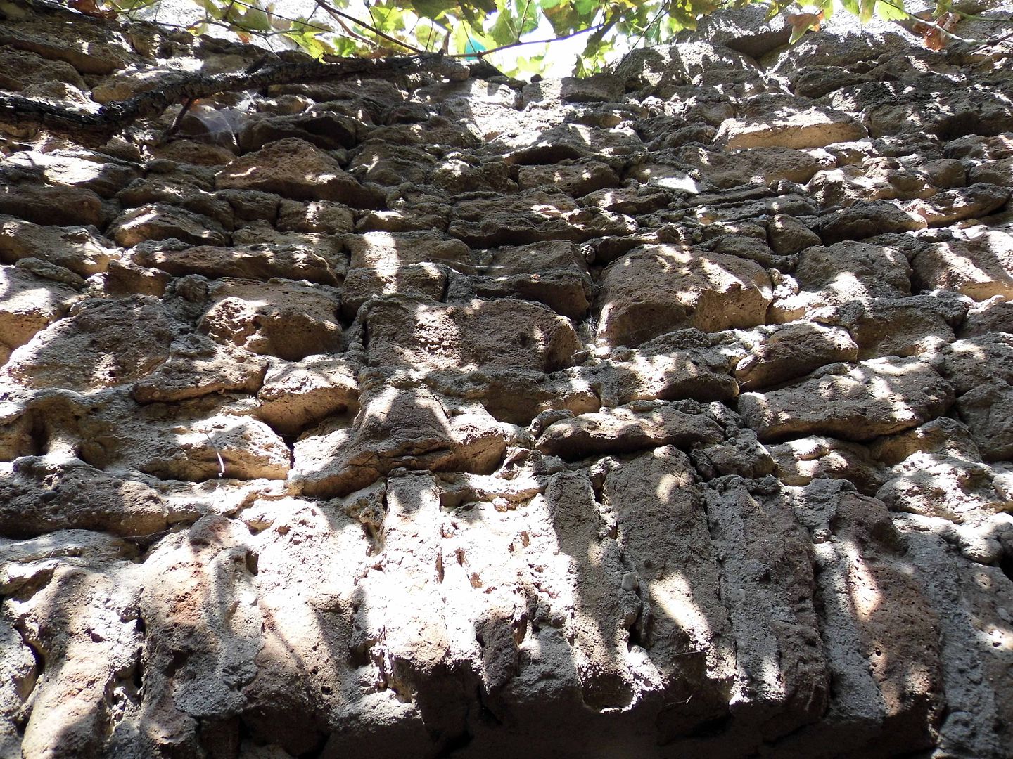
For him, it became home—and that rock-hard material he hit, known as "hardpan," became a sturdy building material for walls, rooms, alcoves, and more.
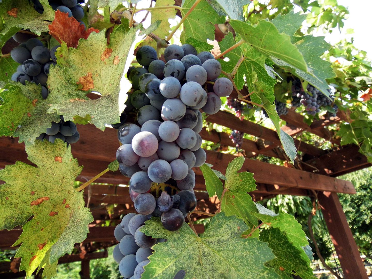
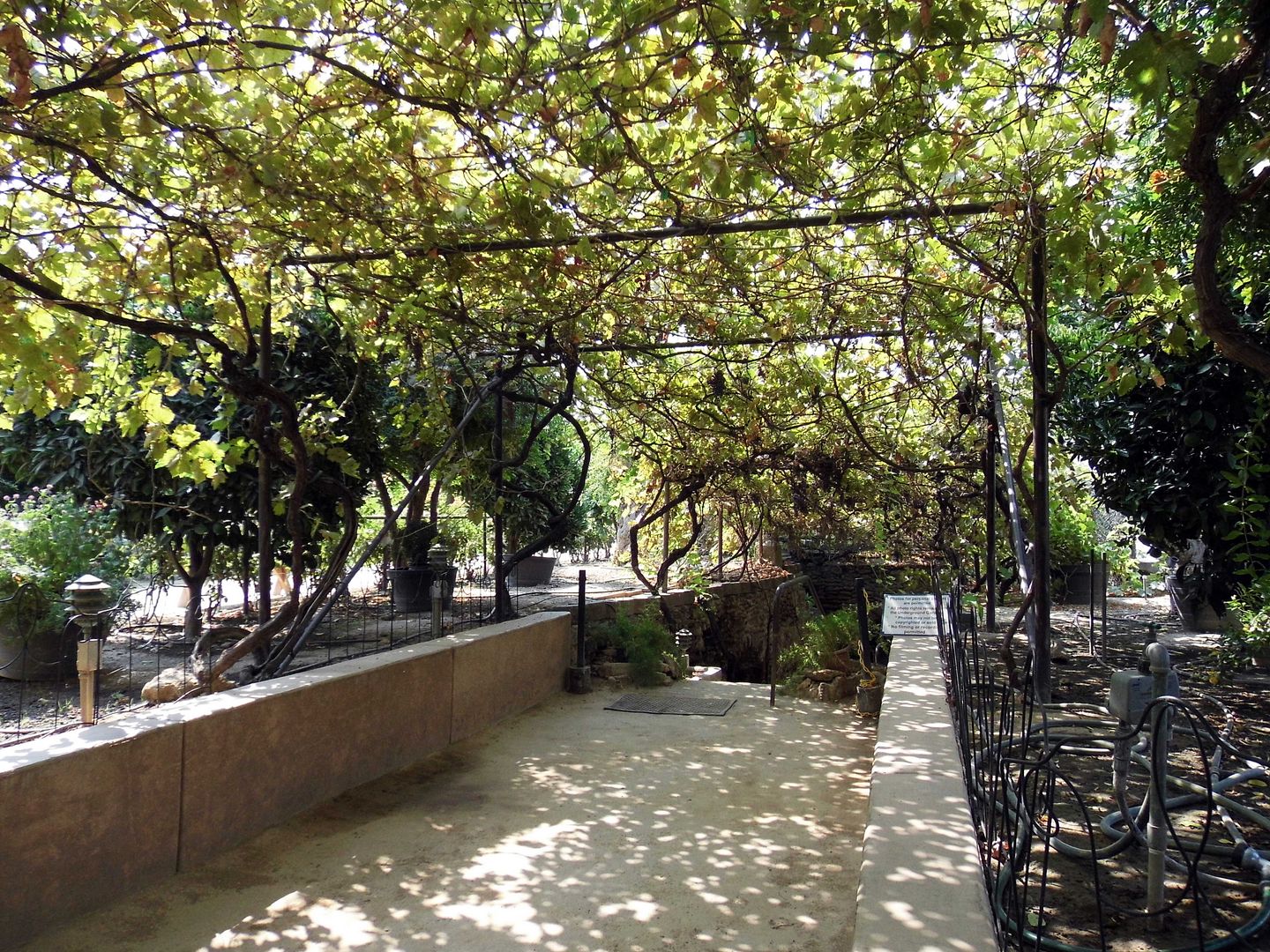
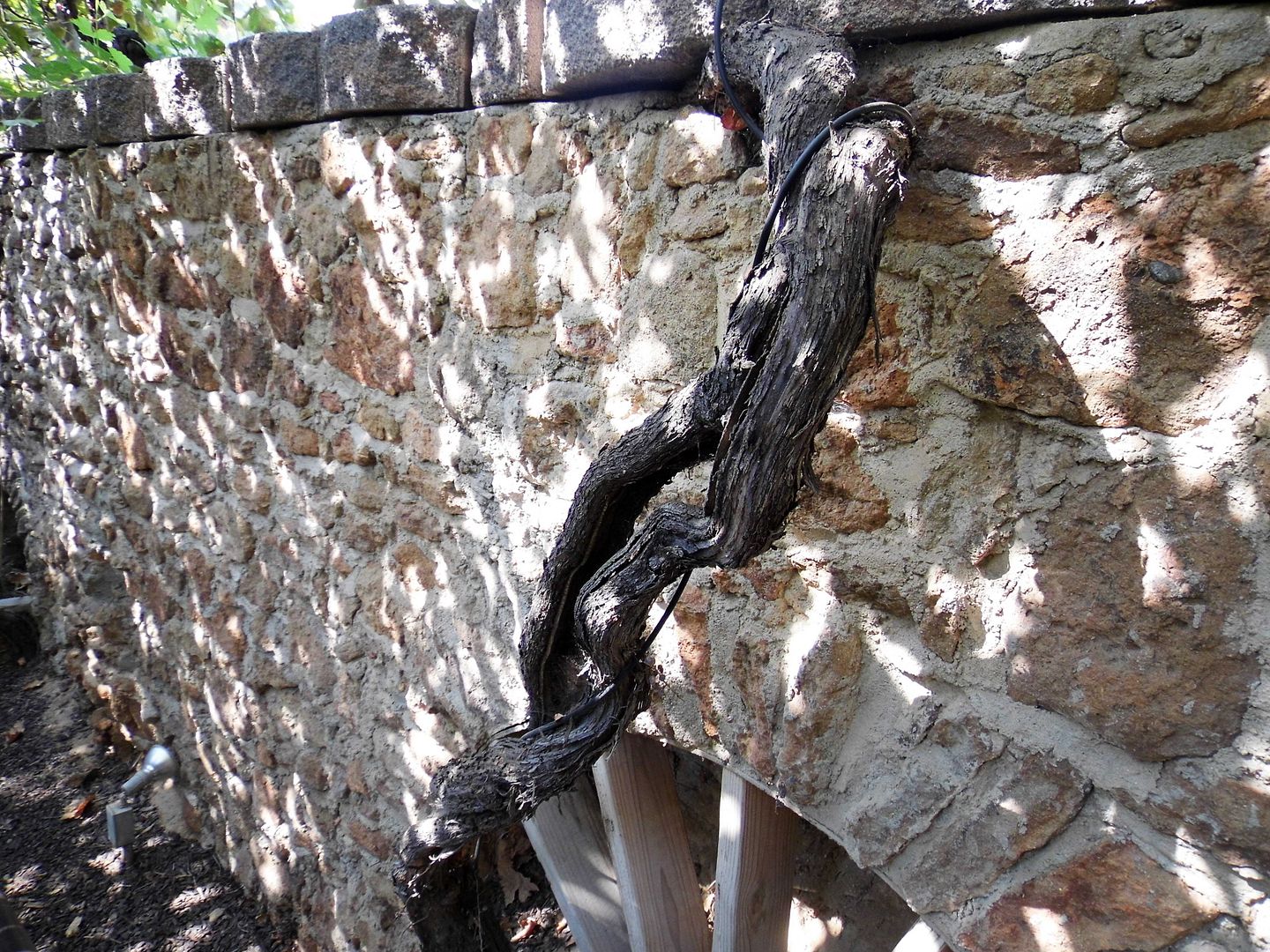
Fortunately, Forestiere didn't have to give up his horticultural dreams—because his construction also included many planters that would contain herbs, fruit trees, and grapevines. Today, there's a vine that's over a century old and has lost only one of its branches out of its original three. It still produces big purple grapes.
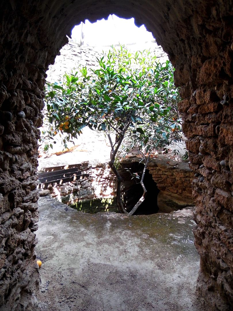
In his underground orchard, Forestiere planted trees that bore tropical citrus like loquat, kumquat, and grapefruit.
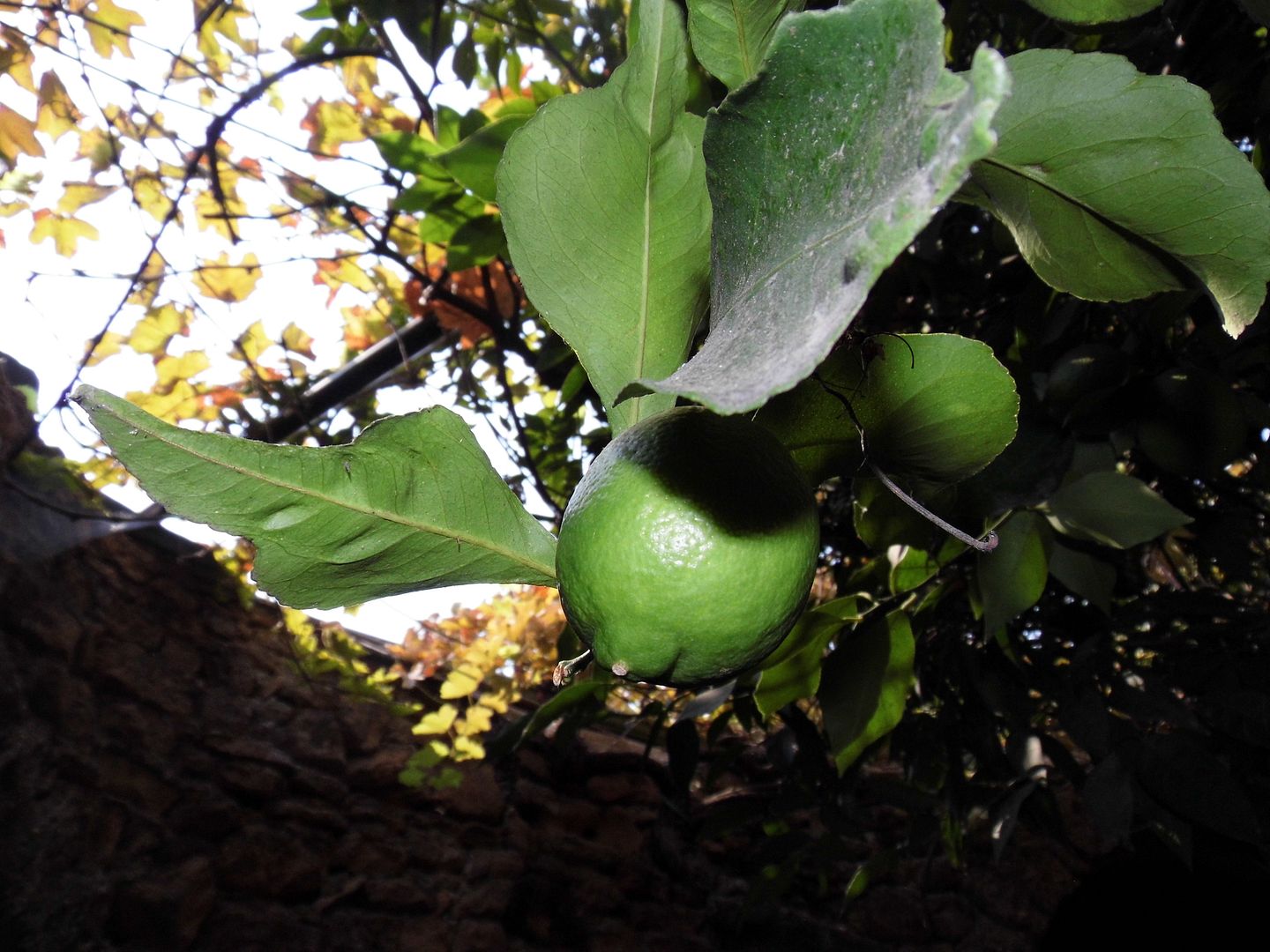
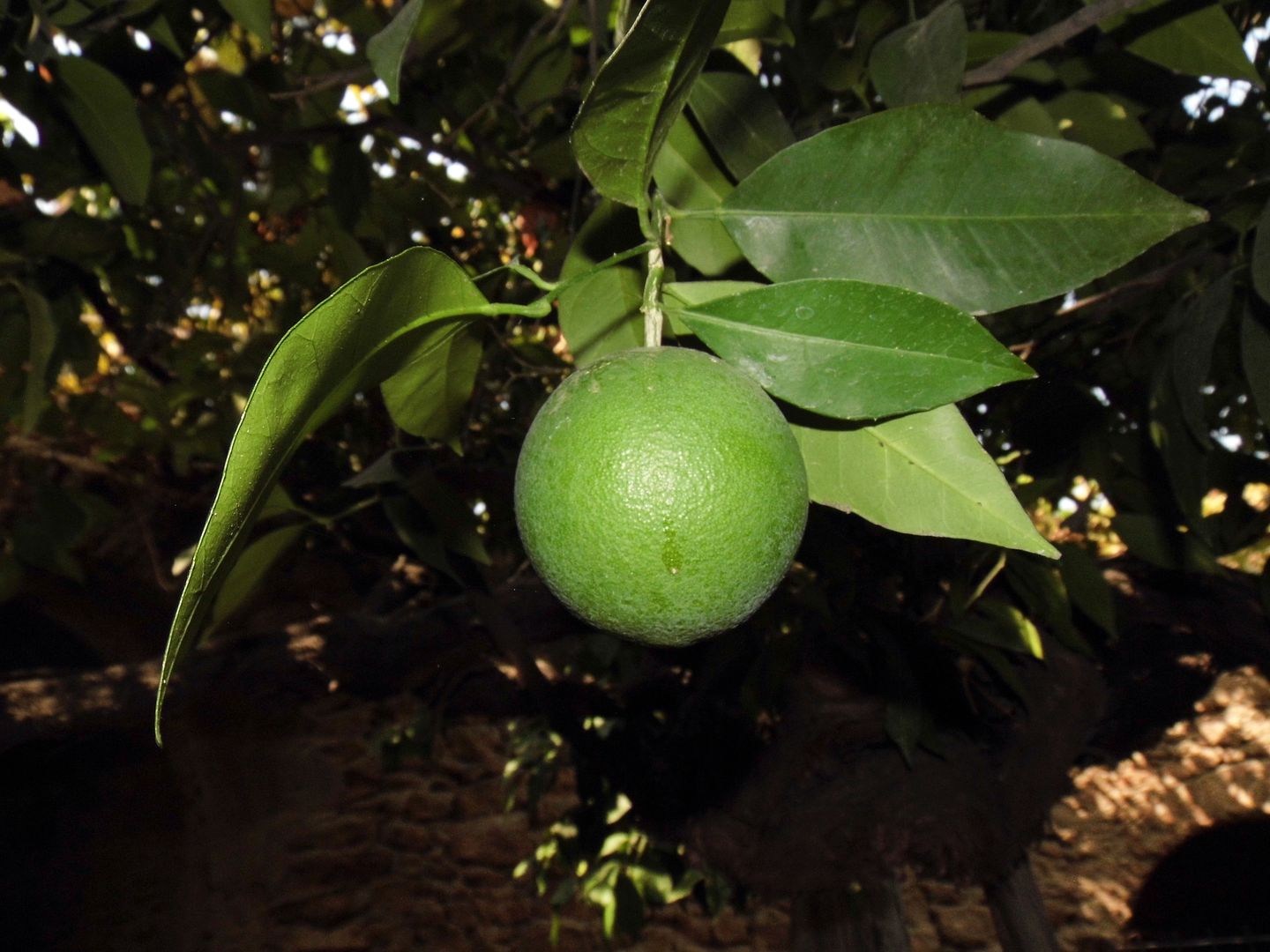
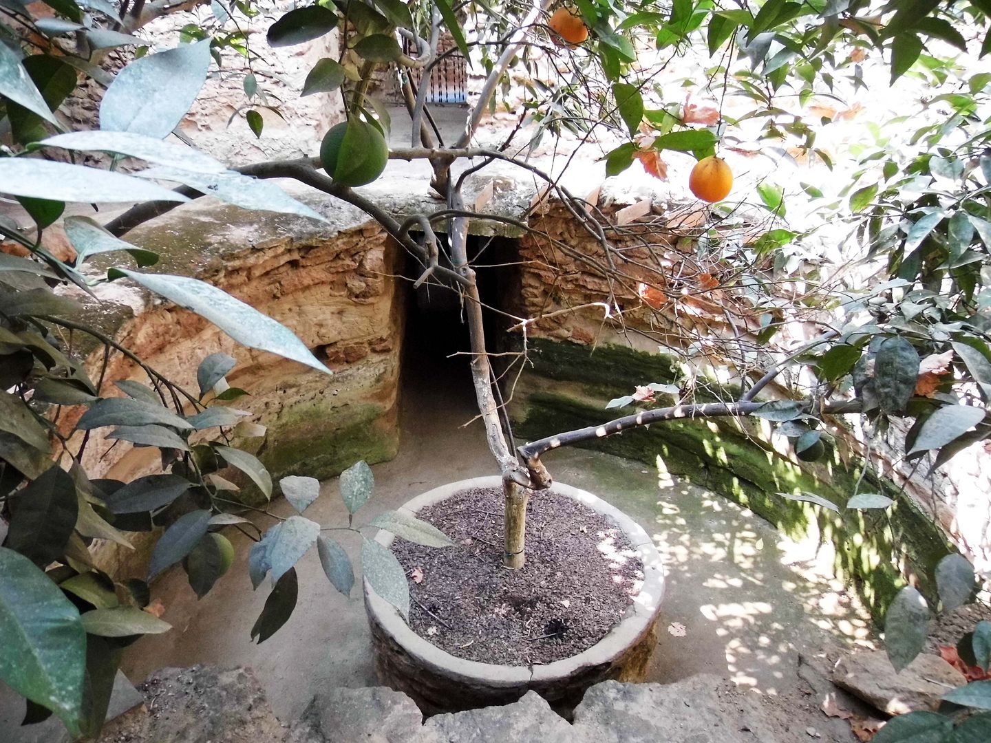
And because he was something of a grafting genius, he even created a citrus-bearing tree that yielded both lemons and oranges.
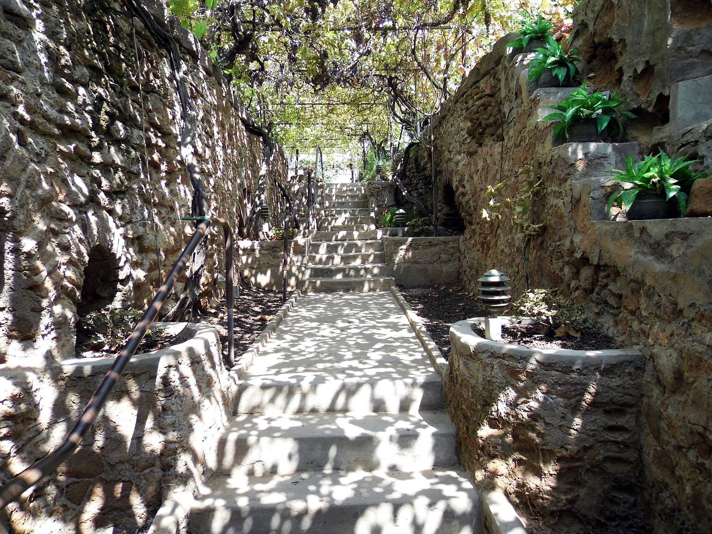
There are now 2 acres "finished" and open for exploring and examining...
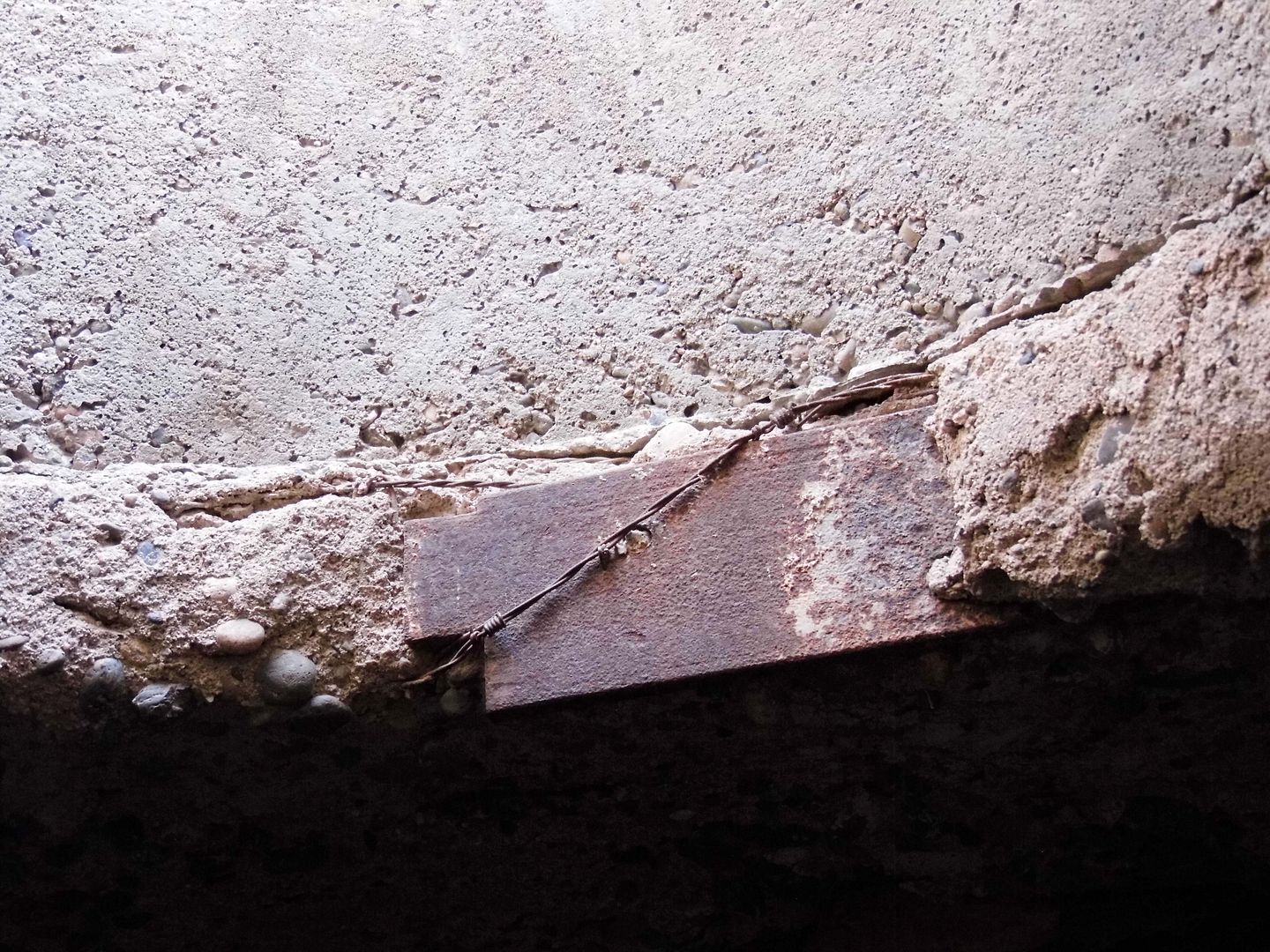
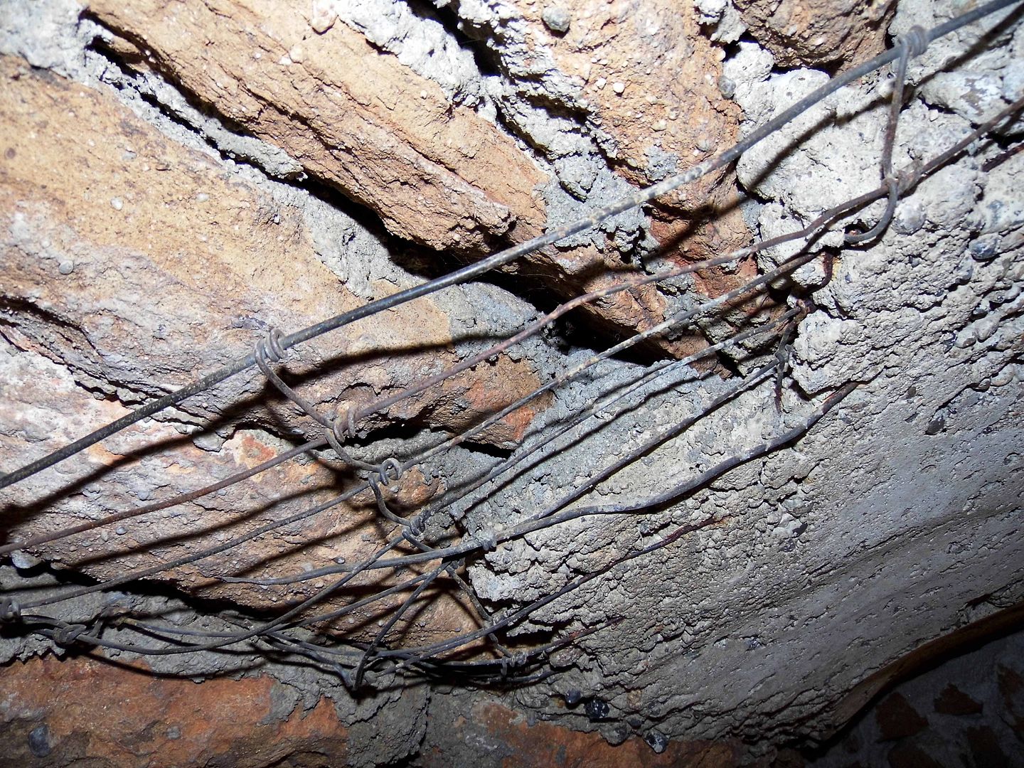
...with recycled building materials hiding in plain sight, like scrap metal and barbed wire...
...and mattress springs.
It's cooler down there not just because of the subterranean location, or the rock walls, but also because of the cross-ventilation. (And, being a devout Catholic, he built the underground gardens literally in the shape of a cross.)
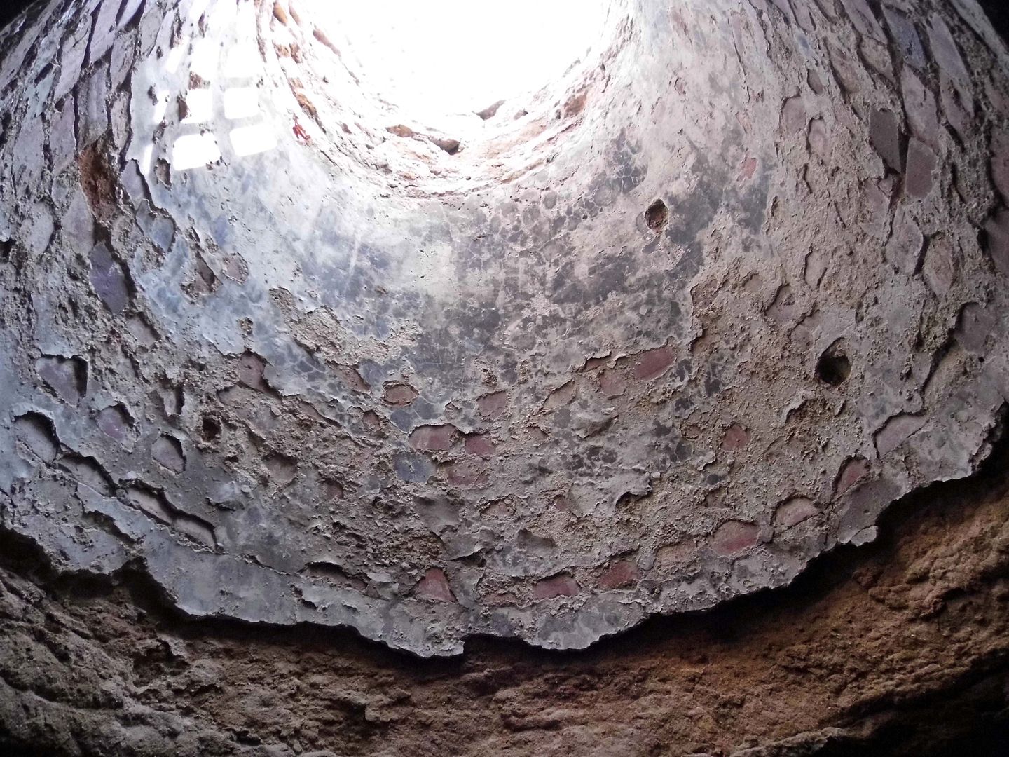
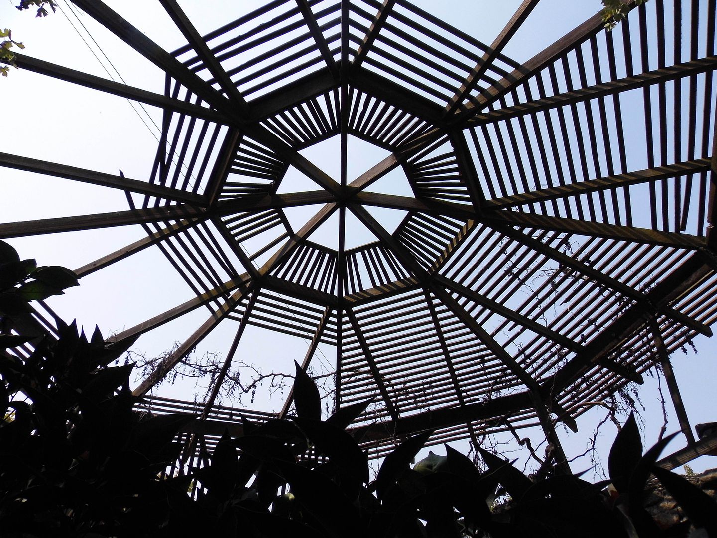
Open-air skylights allow trees to grow towards the sun...
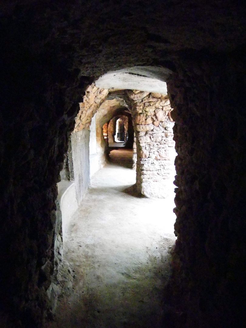
...and many of the arches line up so the air whooshes straight through.
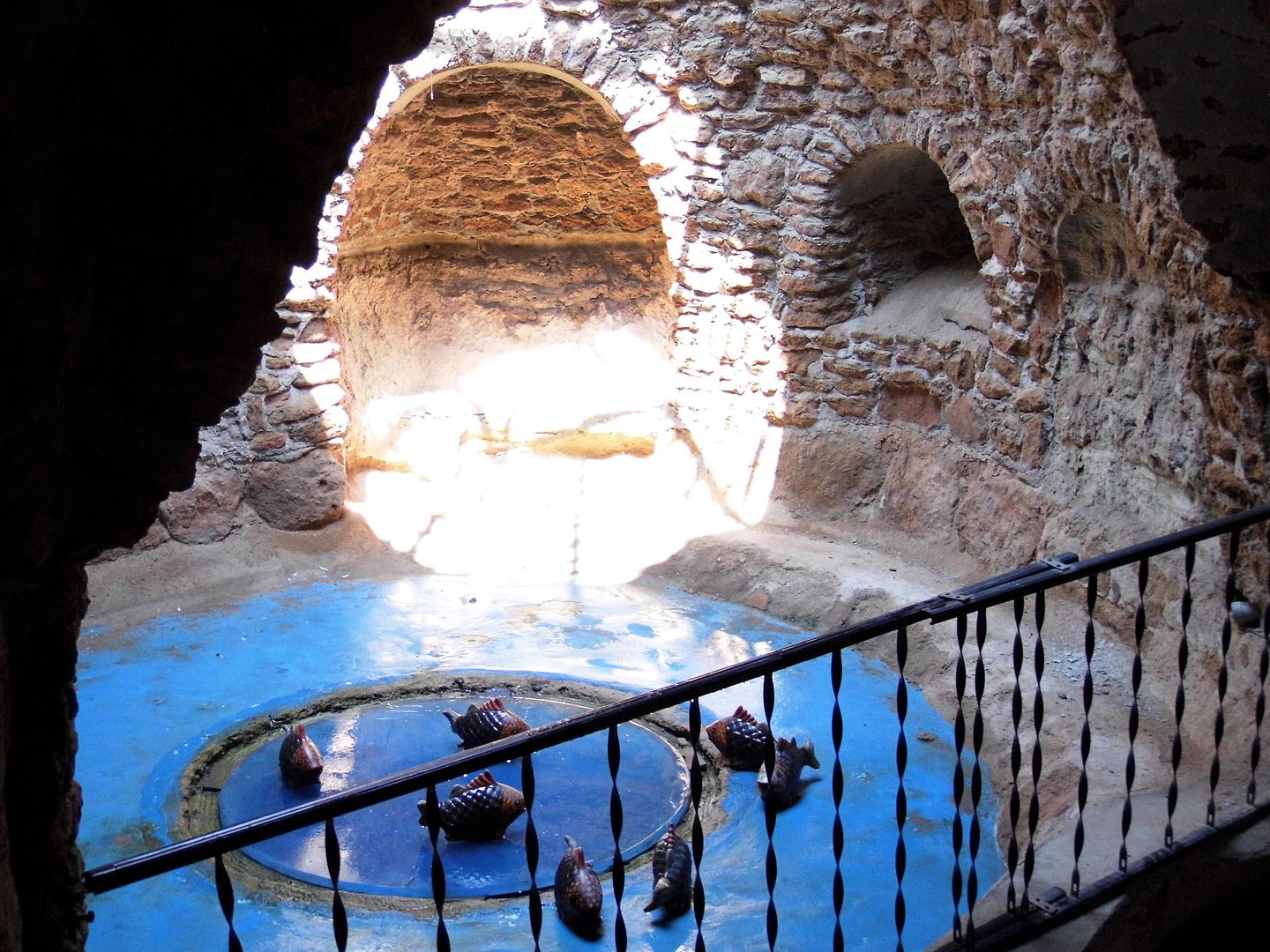
Ultimately, Forestiere designed an entirely self-sufficient dwelling—where he could store rainwater and keep the fish he'd caught alive in a pond until he was ready to eat them.
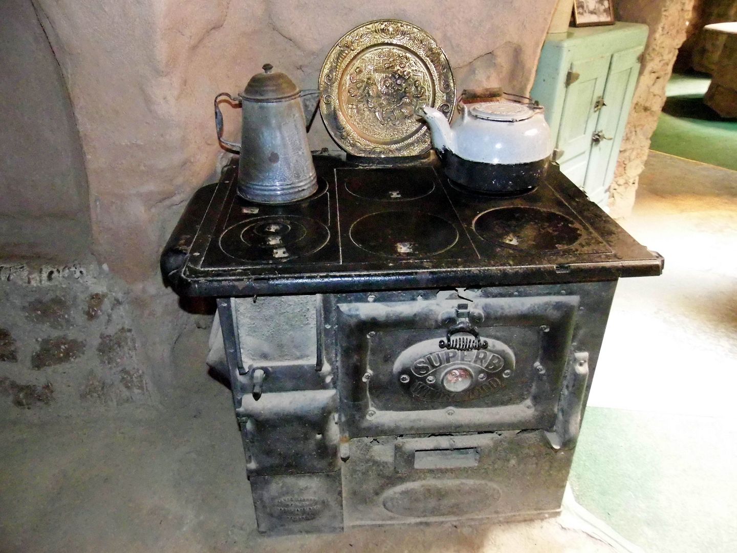
A lifelong bachelor, he'd cook the food he'd grown or caught on his wood-burning stove...
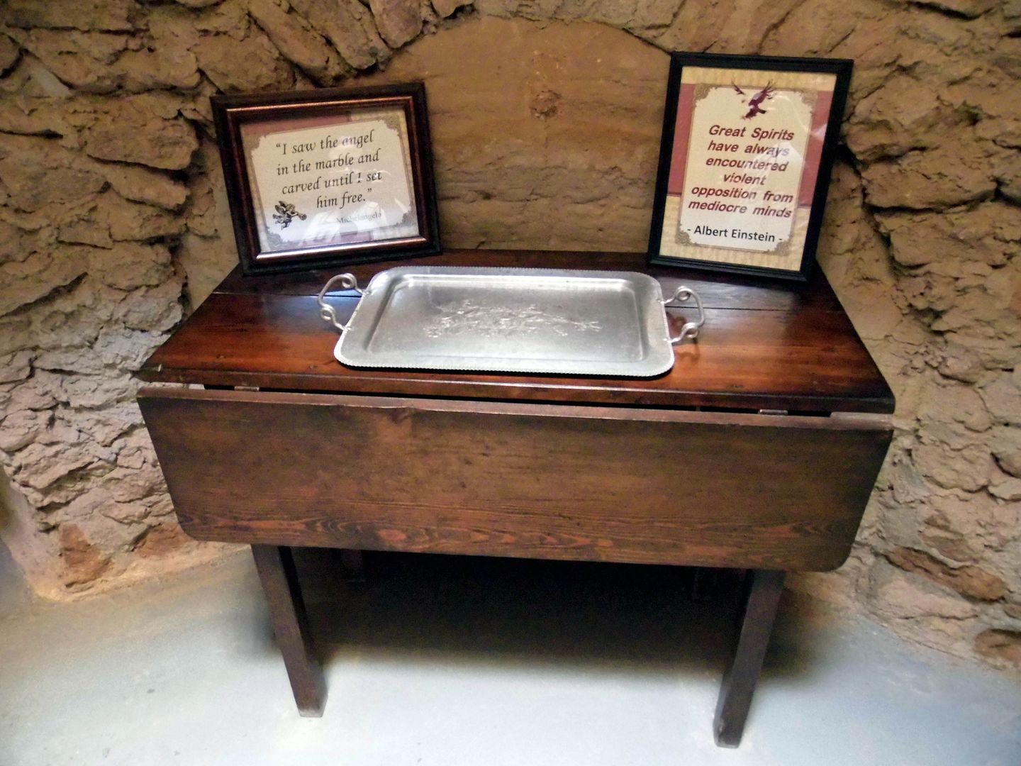
...and wash it down with the wine he'd made himself and stored in bottles in his wine cellar, seated on modular furniture that was built into the walls.
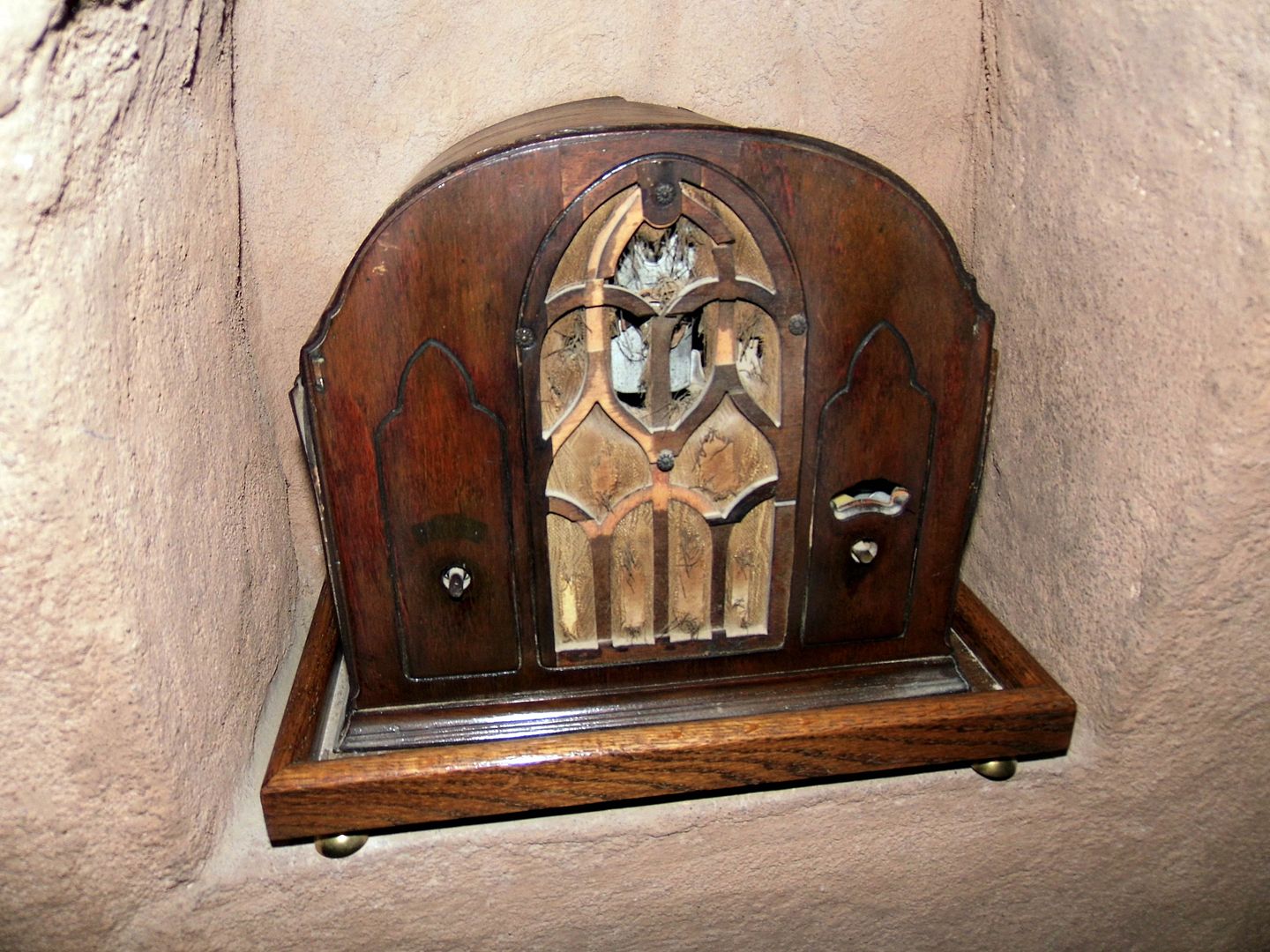
Perhaps he'd be listening to his radio, too—the same radio that's still tucked away in a niche. (He eventually had electricity, but no indoor plumbing.)
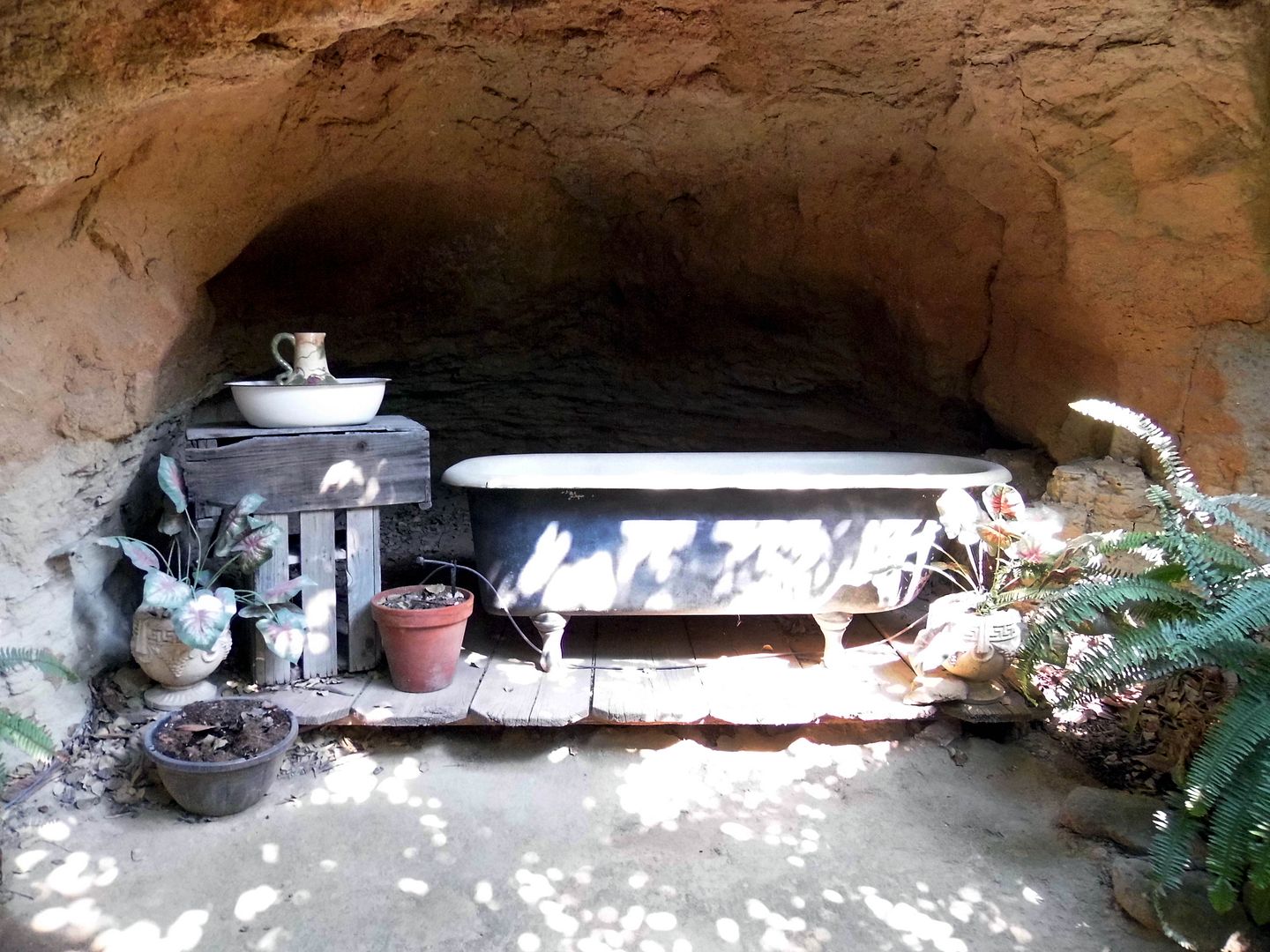
During the winter, he'd keep the drafts out by covering the skylights in glass and lighting the fireplace. He also slept in his "winter" bedroom, which wasn't as exposed to the elements as his "summer" bedroom.
Forestiere never meant to keep his underground gardens all to himself. In addition to inviting family and friends over while his unusual palace was still being completed, he'd intended to eventually open it up to the public as a kind of daytime resort or even, as he called it, an "underground hotel."
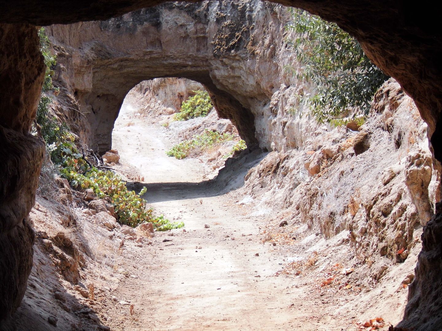
To accommodate visitors arriving in cars, he built a sloping automobile tunnel using a construction tool called the Fresno scraper, pulled by two mules. Because this revolutionary tool (invented in Fresno, of course) could move quadruple the volume of earth compared to manual excavation, it influenced the later designs of bulldozer blades and earth movers.
Although Forestiere never completed his motorist entryway—and never officially installed the valet service—some of the attractions he'd built for them to see on their way in are visible now on the guided tour visitors can take.
Located 20 feet below ground, there's the Tree of Seven Fruits, which once fruited lemons, sweet lemons, grapefruit, cedro, and Navel, Valencia, and sour oranges.
Only the oranges remain.
There's also the tri-level aquarium—a cemented pond with observation areas above it, at its surface, and below it (where Forestiere would often sit and watch the fish that were "too pretty to eat" swimming above his head through the former glass bottom).
After Forestiere died at the age of 67 in 1946, his underground gardens were targeted by vandals—though his younger brother Giuseppe tried to keep a watchful eye.
With no offspring to speak of, Uncle Baldy may rest in peace knowing that his great-nieces now own and operate his sculptural masterpiece, 40 years in the making, as a tourist attraction and cultural monument—preserving it as much as possible and restoring when necessary.
Now that I've experienced it firsthand, I wonder why more people don't carve their own dwellings out of the earth and live more sustainably, like they do in Tunisia and other desert environs. It seems like a nice life.
Especially when it feels like hell above ground.
Forestiere Underground Gardens's Photo Policy dictates that photos are only permitted for personal enjoyment. Photos may not be copyrighted, watermarked or sold either through web albums or other commercial or online venues (YouTube, Instagram, etc) without consent of the owners. Therefore, the photos on this blog post are not for sale and cannot be licensed for reprint or other commercial uses.





.jpg)