Search

Showing posts with label Infrastructure. Show all posts

December 07, 2024

This Giant Concrete Arrow Pointed the Way for Pilots Delivering Mail By Air Between Las Vegas and Salt Lake City

I was in Southern Nevada for Thanksgiving to visit dear friends—practically family. So I wanted to spend plenty of time with them, but I also wanted to carve out an opportunity to go on a couple little adventures. 

That sent me in search of one of the many gigantic, concrete arrows that dot the desert in the Battle Born state—well, actually two of them. I had to abort the mission in search of the first one, the one in Mesquite, since I was coming back from The Donkey Museum a little too late to have enough sunlight to navigate the rough dirt road to get to it. 

So, two days later, I made a second try—this time to get to a second arrow, this one in the Moapa Valley community of Logandale, not far off the 15 Freeway. 


December 06, 2024

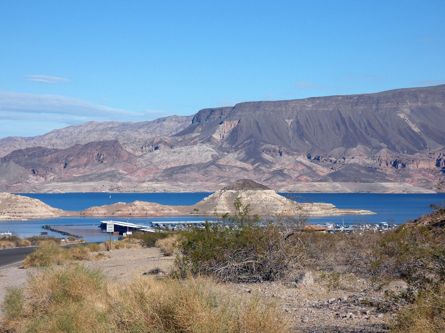
Photo Essay: Cruising Lake Mead on the Desert Princess to the Hoover Dam

Nevada's Lake Mead has been a source of much fascination for me—from the construction of the Hoover Dam (which formed the lake out of the waters of the Colorado River) to the flooding of nearby towns (like St. Thomas).


But while I'd spent some time around the lake—peering at it from a zipline at Bootleg Canyon, hiking around it through decommissioned railroad tunnels, even looking down at it from the dam itself—I hadn't yet had the chance to explore the lake from the lake itself.

September 13, 2024

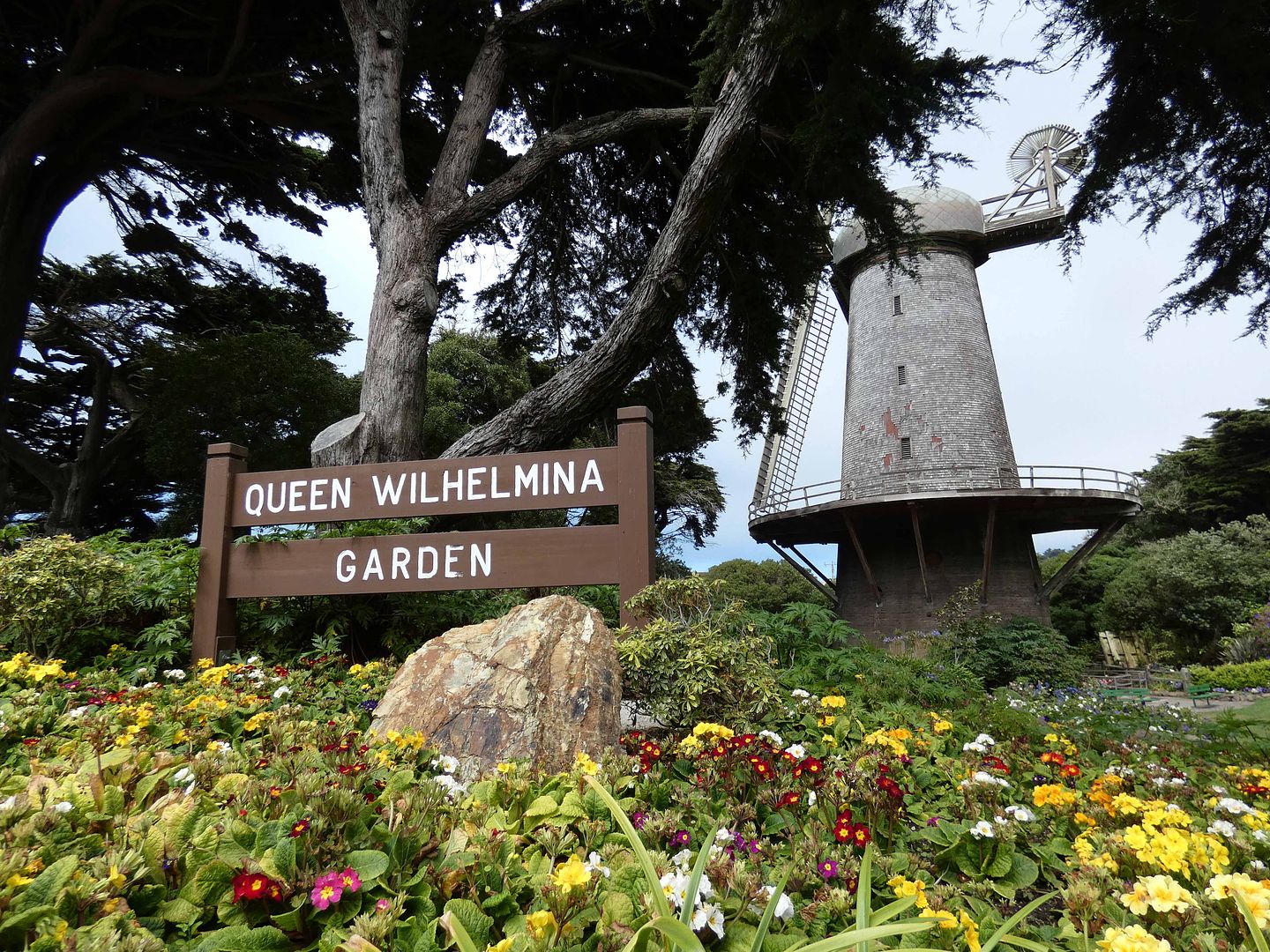
Photo Essay: The Dutch Windmills That Helped Establish San Francisco's Golden Gate Park

In Southern California, the only windmills you'll usually see are the wind power-generating ones, like on the windmill farms of Palm Springs or Tehachapi. 

At least, that's been true since the last of the Van de Kamps coffee shops closed in the 1990s. (The last remaining windmill is now a Denny's in Arcadia.)


But in Northern California—specifically, San Francisco's Golden Gate Park—two windmills are alive and well, including the Northern Dutch Windmill built in 1902. 

November 08, 2023

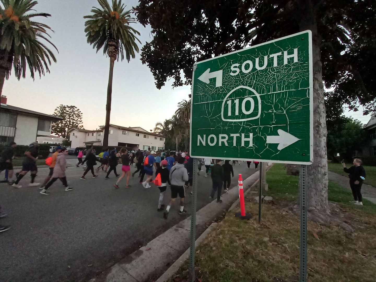
Photo Essay: Stepping Foot on America's First Freeway, the 110 (a.k.a. Arroyo Seco Parkway) — Updated for 2024

[Last updated 4/6/24 7:38 PM PT—Added two photos of the Avenue 60 exit.]

Why do I do this to myself

That's what I was thinking as I sat waiting for the Gold Line (a.k.a. "A Line") Metro train at the Heritage Square station, numbered bib safety-clipped to my tank top. 

I'd parked just three stops away from the starting point of the "Run the 110" race I'd signed up for—a 10K, though I'd never done a 10K before, and although I had no intention of actually running it. 

But it was a special way of experiencing the 110 Freeway when it was closed to traffic—and for the first time in 20 years. 

Sure, I could've just walked on the 110 at my leisure, not gotten up at 5 a.m. and not hightailed it to South Pasadena for a 7 a.m. starting time. I could've just joined everybody else during the event known as "ArroyoFest," part of the 626 Golden Streets open street event. 

But I wanted to be held accountable to do the whole thing. I wanted to make sure I would go at all—knowing my habit of bailing on myself when I haven't gotten enough sleep or when I'm in a flare-up. 

And that meant paying good money to get a T-shirt, be assigned a number, and receive a medal for finishing. Even though I wasn't sure if I could finish the whole thing. 


February 20, 2023

Photo Essay: The 8th Wonder of the World Is In... Palm Springs? (Or, How Helicopters Help Build An Engineering Marvel On the Sheer Cliffs of the San Jacinto Mountains)

Back in 2009, during one of my first visits to Palm Springs, I did what tourists do: I rode the Palm Springs Aerial Tramway. 

circa 2009

The sign at North Palm Canyon Drive and Tramway Road advertised "Rotating Tram Cars"—and I figured it was a scenic way to get to a cooler elevation during the summer heat of June. (Besides, I was also lured by the Albert Frey-designed former gas station, which had been transformed into a visitors' center.) 

May 17, 2022

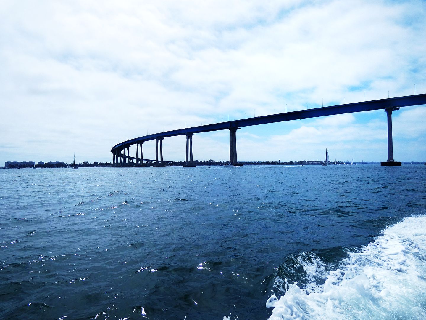
Crossing Over to Coronado On Foot (Or, Bridging the San Diego Bay)

On January 25, 2020, I registered to walk the Navy's 34th annual Bay Bridge Run in May. 

 circa 2021

On April 1, 2020, I received the cancellation notice. And it would be another two years before I could get onto that bridge. 

January 07, 2021

Photo Essay: Driving Back and Forth Across Long Beach's New 'Bridge to Everywhere' (Updated for 2023)

[Last updated 6/3/23 4:15 PM PT—The new name of the bridge has been added below.]

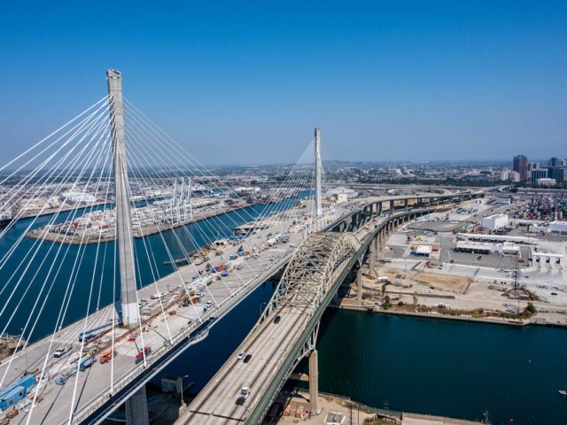
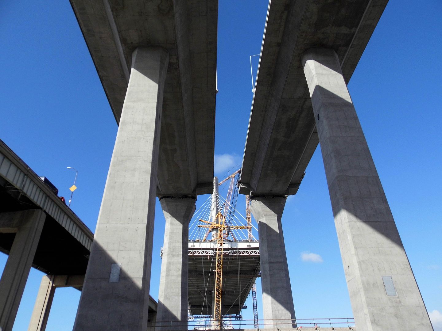
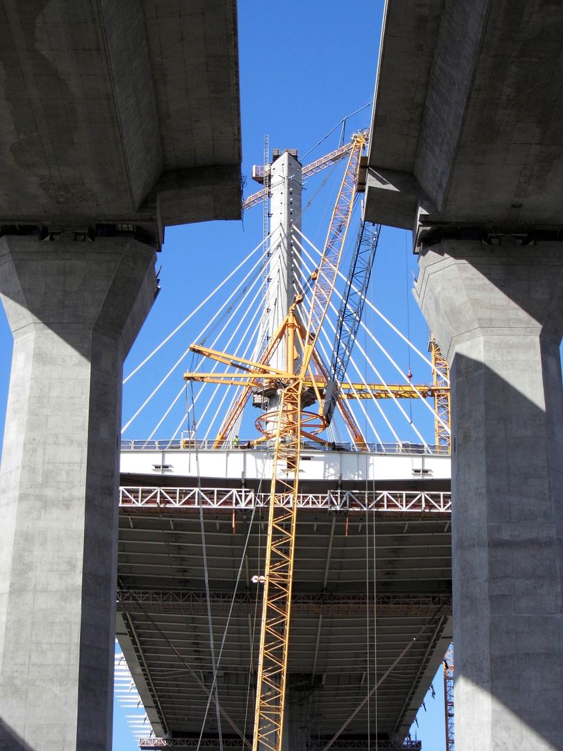
Back in 2019, I took a tour of the construction site of the as-yet-unnamed Gerald Desmond Replacement Bridge in Long Beach (now called the "Long Beach International Gateway")—a project that first began in 2013.

Photo: Courtesy of the Port of Long Beach

And as of October 2020, the new bridge is open for traffic—while the bridge it replaced still stands. 

August 09, 2020

Photo Essay: The Survivor Cabins of Burbank's Besieged Country Club Drive

It wasn't until the 1940s and 50s that most of Burbank, California was developed as a city. But in the 1920s, there was a development up in the Burbank Hills—the foothills of the Verdugo Mountains—called Sunset Canyon that left a mark on the area that still remains to this day, nearly 100 years later.
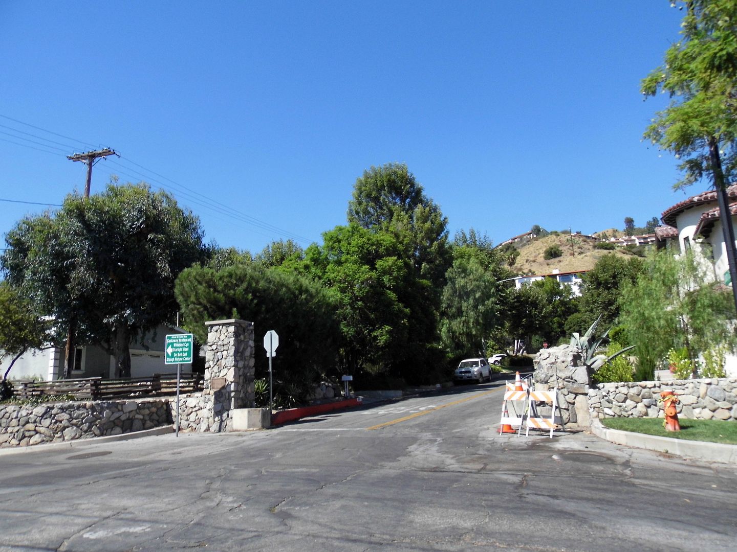


I didn't know about it, though, until I happened upon a stone gate on Sunset Canyon Drive as I was getting ready to turn down Olive and head back home after having brunched in the hills at Castaway.
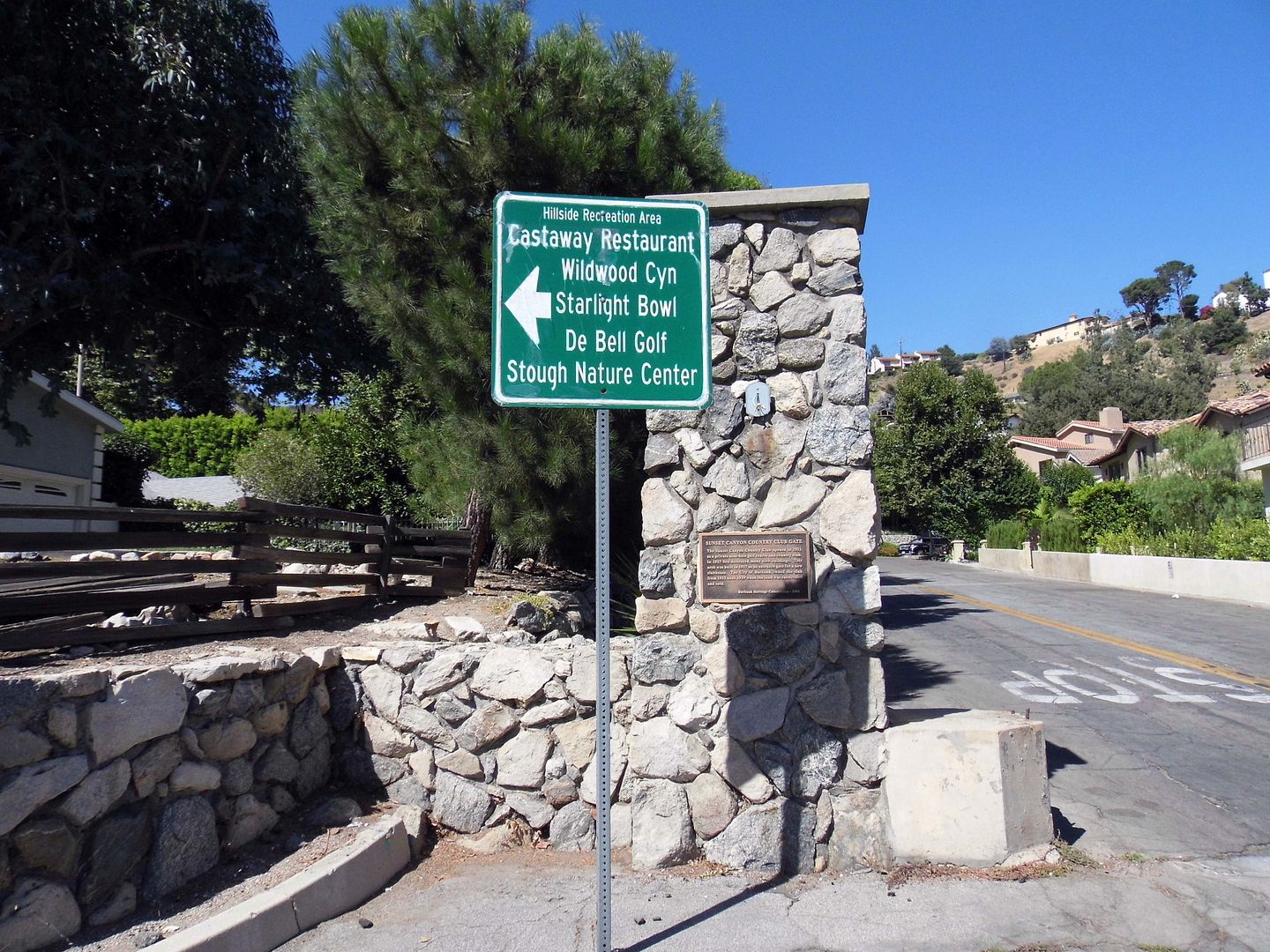


I'd surely passed here at least twice before—when I'd hiked Wildwood Canyon and Stough Canyon—but I hadn't noticed the historic-looking gateway.
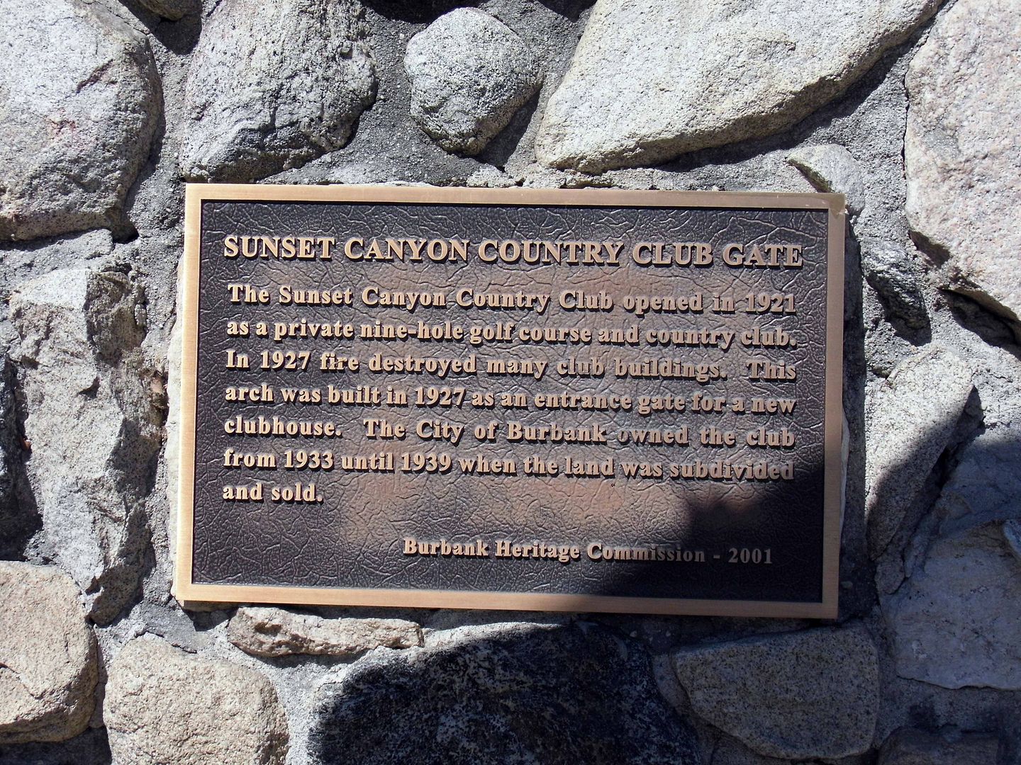


A closer look revealed details of an old country club—a rustic getaway from Hollywood—that had opened on Thanksgiving Day 1922. And spoiler alert: Much of it burned down in a 1927 fire. But more on that in a little bit.
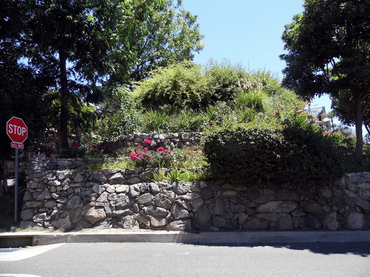


I wondered if there'd be anything left to see beyond those gates—and with nothing but time on my hands, I proceeded up Country Club Drive to see what I could find within those 2500 acres that were annexed into Burbank in 1926.
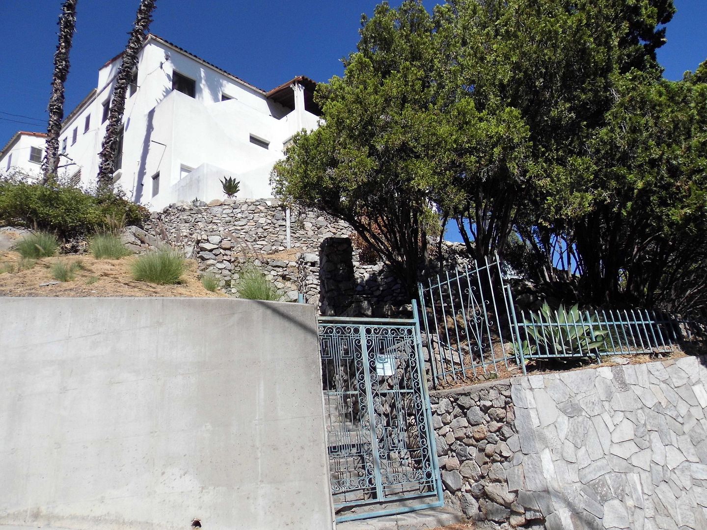


I immediately recognized the signs of a gated—or at least planned—community, with stone retaining walls and terraces giving the neighborhood a unique charm not found on the other side of the stone pillars.
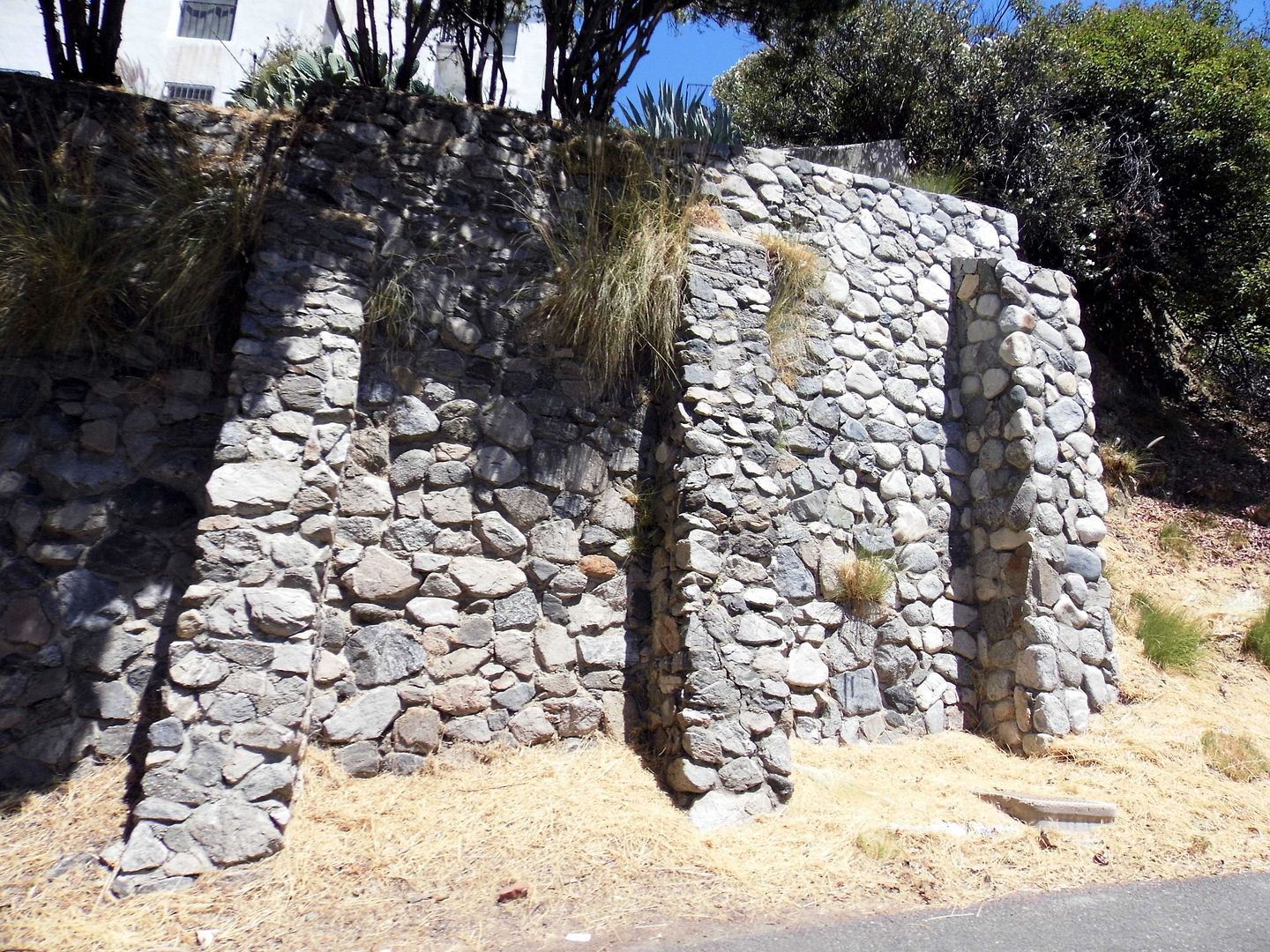


It turns out that membership to the Sunset Canyon Country Club, as it was called, included access to a 9-hole golf course that ran along Sunset Canyon from Orange Grove to Verdugo Avenue, a clubhouse with swimming pool, and a choice of over 100 cabins.
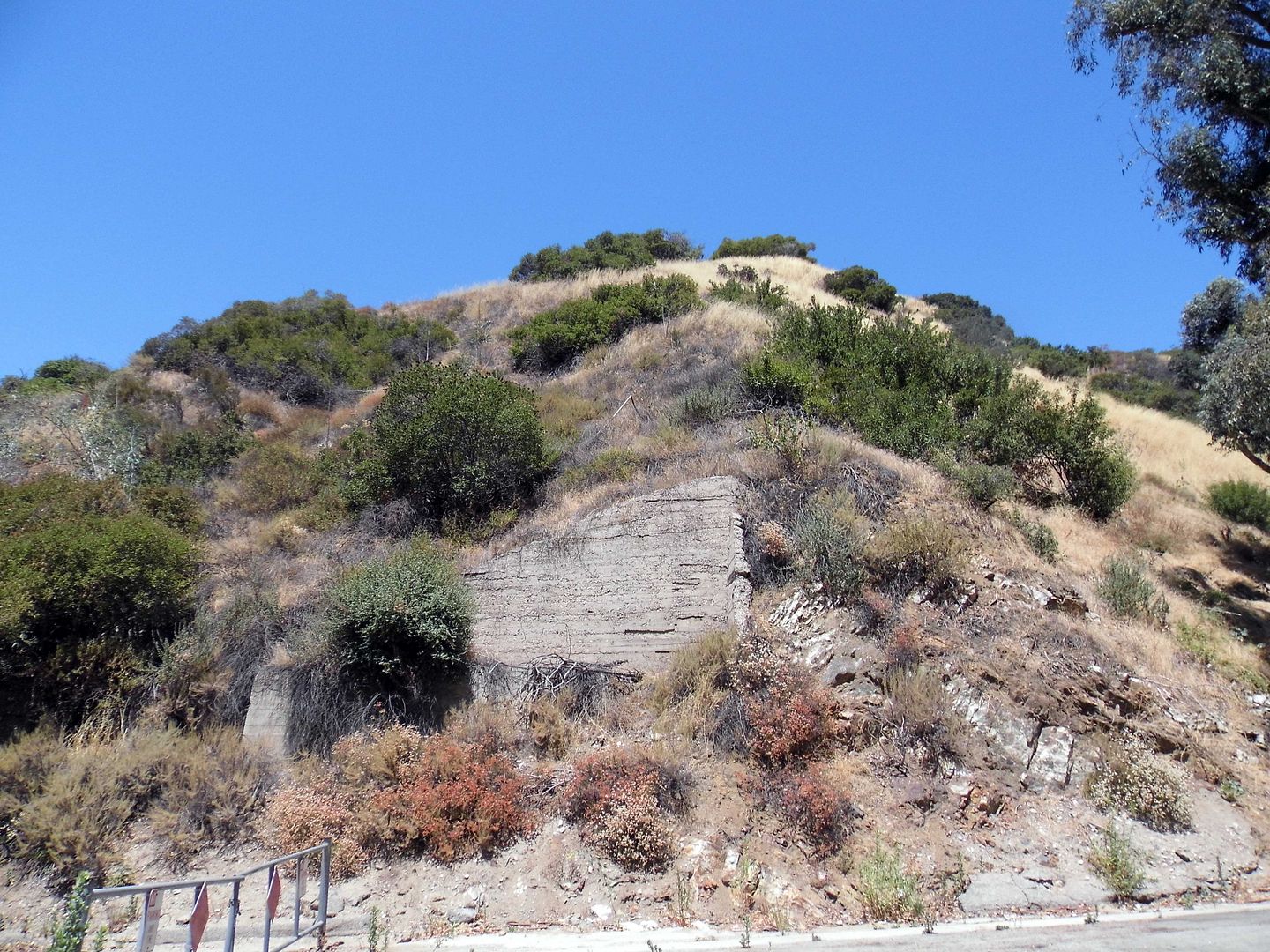


I just wasn't sure if I would be able to find any of them.
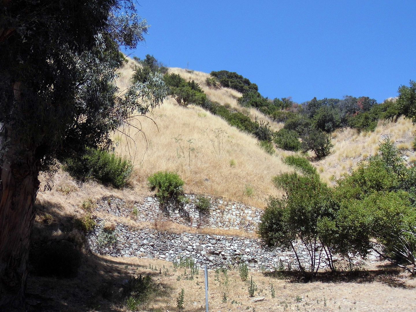


I wasn't even sure exactly what I was looking for. I hadn't planned this adventure—but I was set on pursuing it.
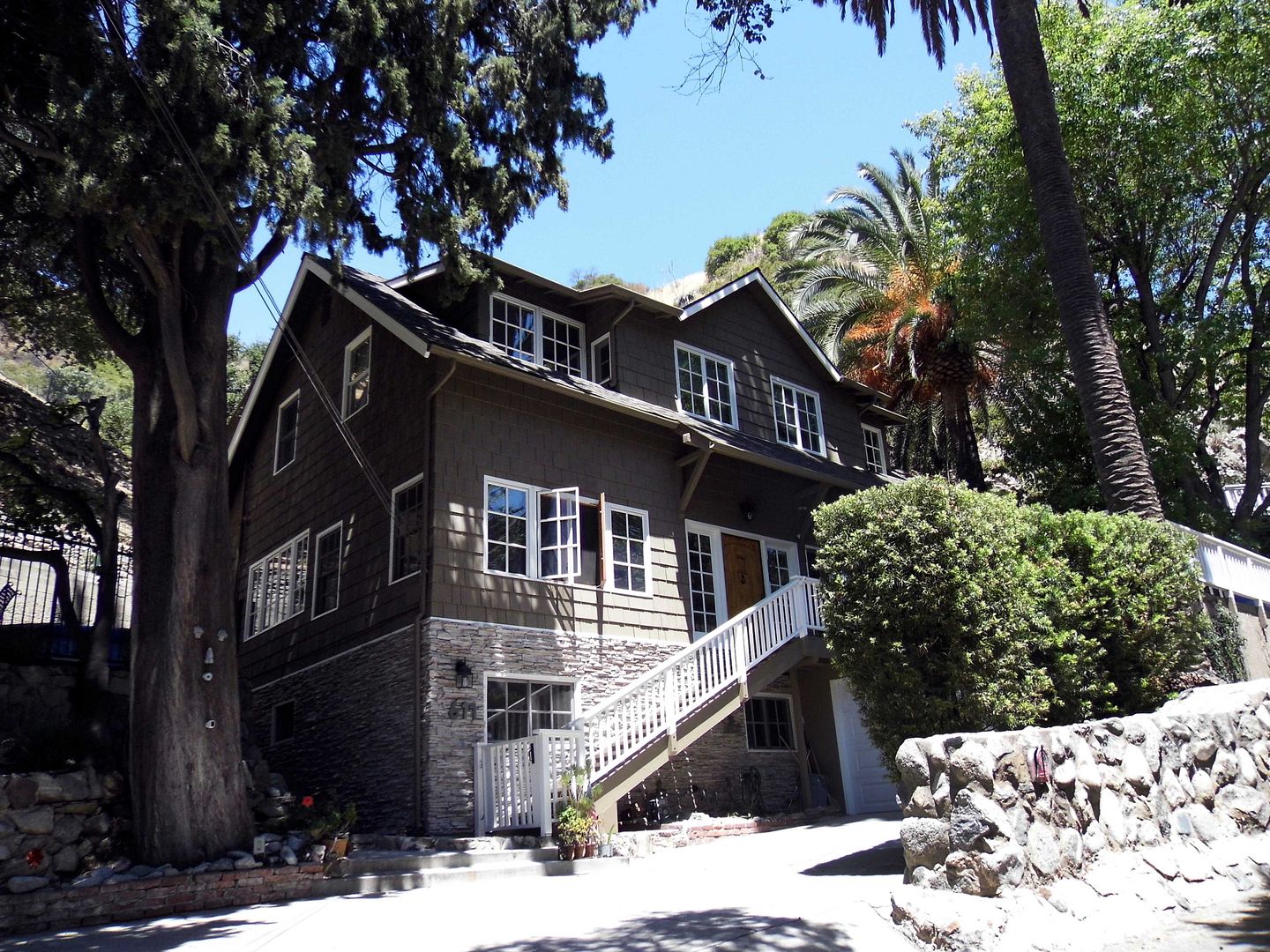


After all, I have a pretty good "eagle eye" for spotting the signs of the somethings that aren't nothing—and from the first houses I encountered, I could tell that there was a distinctive character to Country Club Drive. 
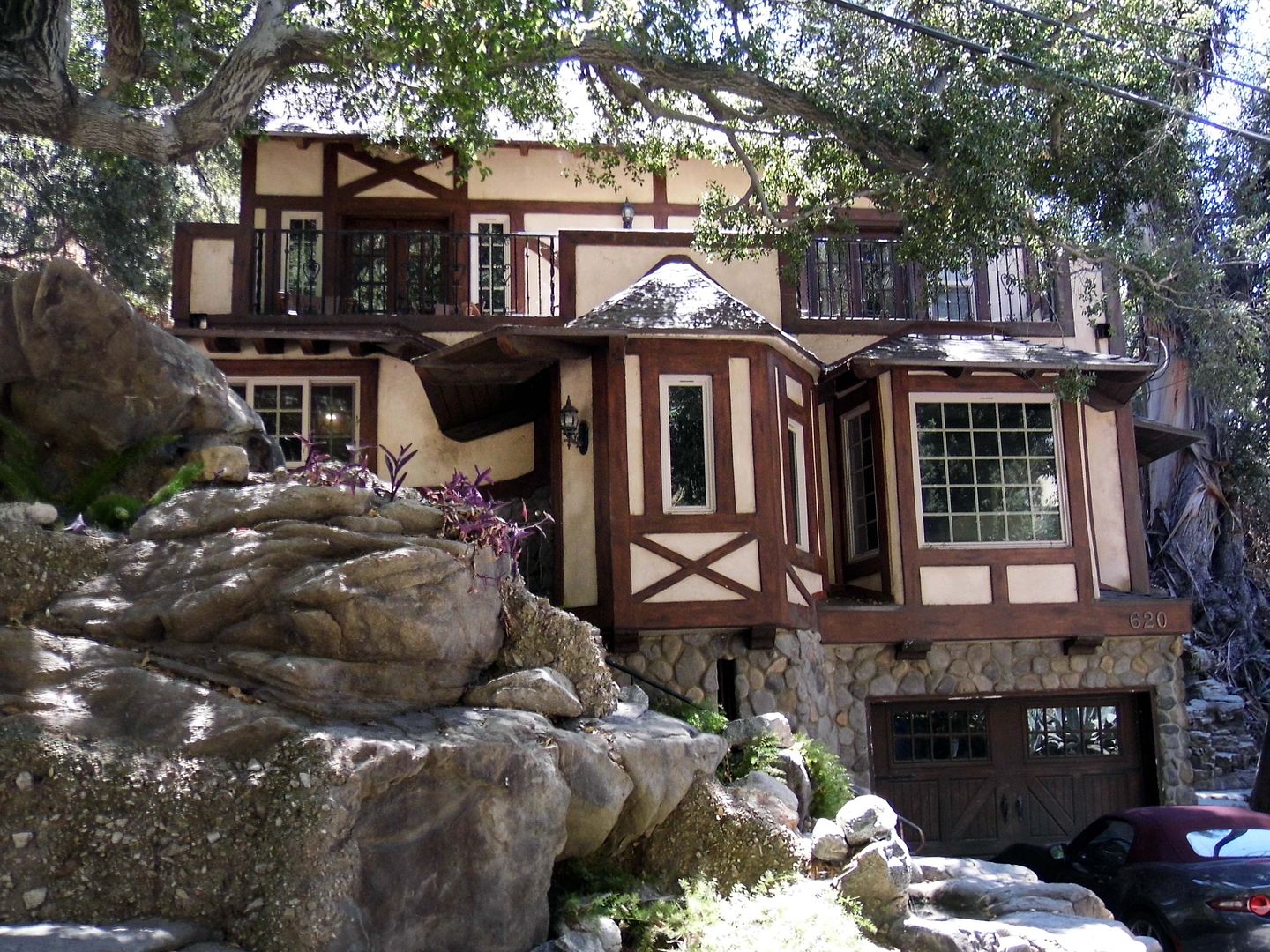

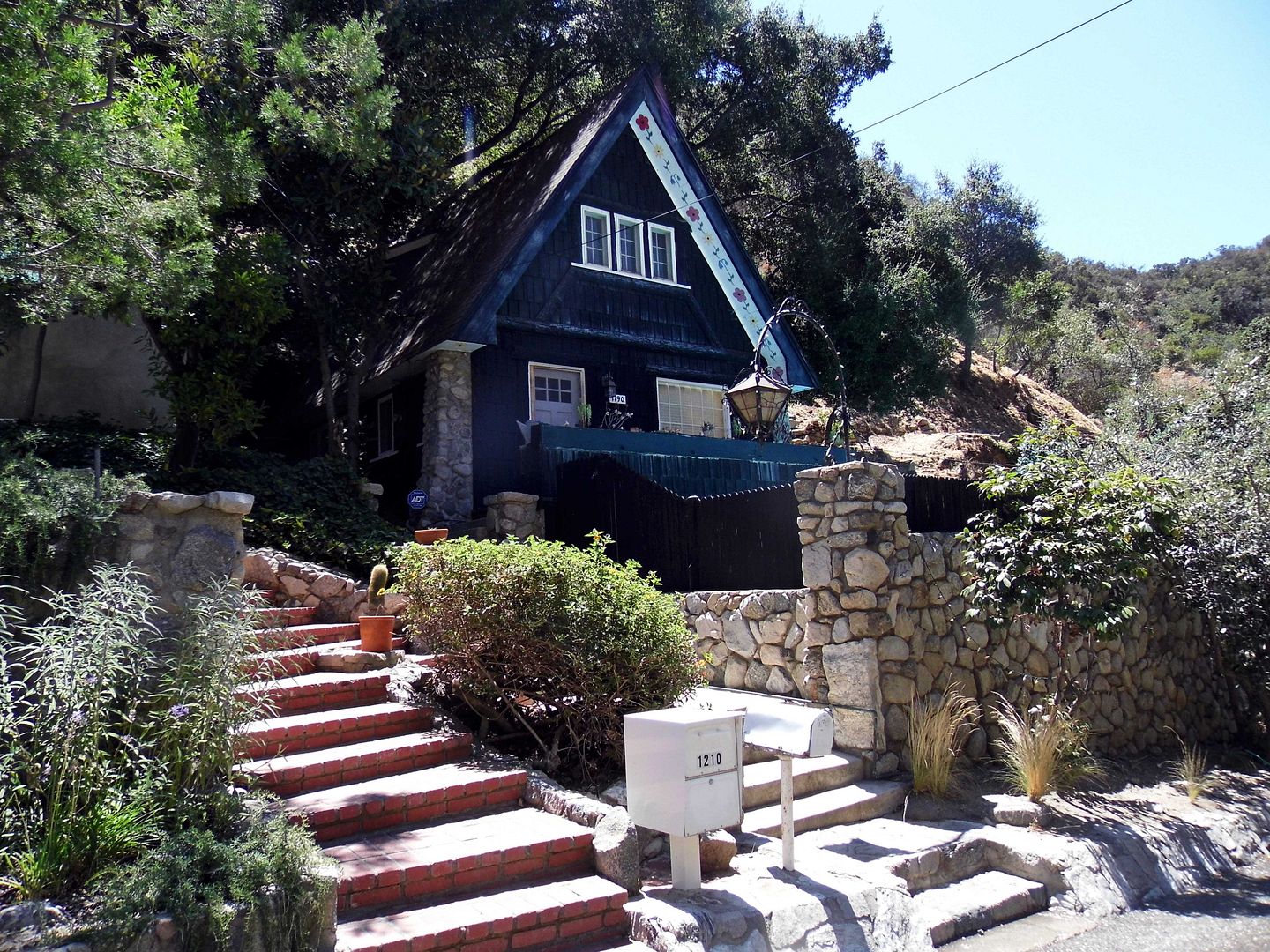
built 1925

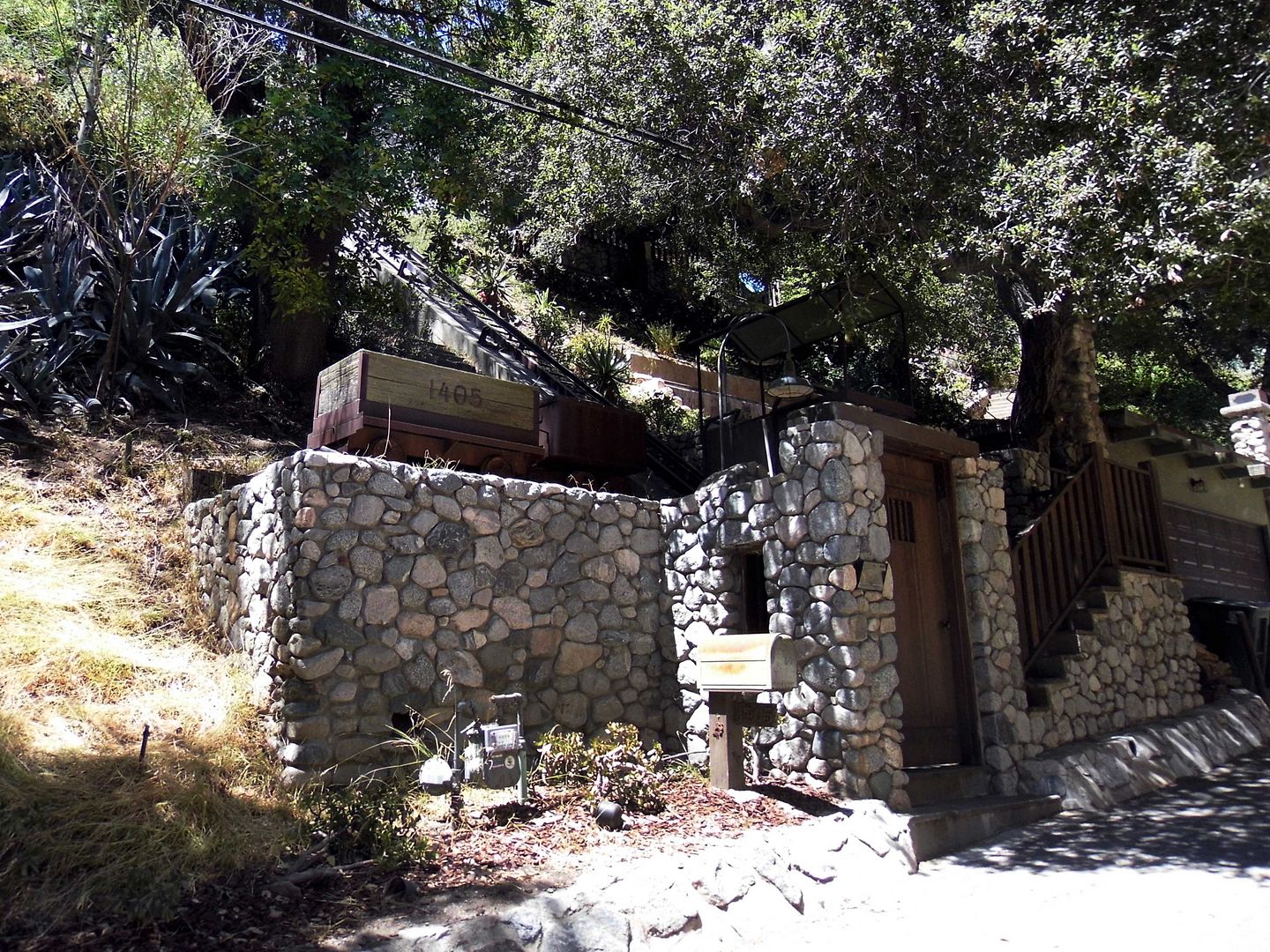
Nearly all of those dwellings were either constructed with or surrounded by local rocks.
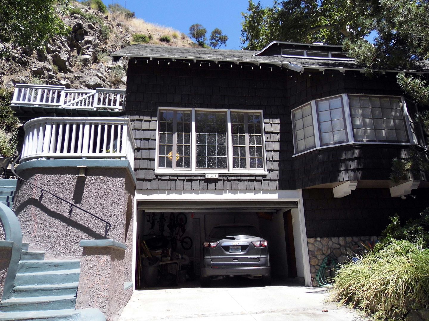

built 1928

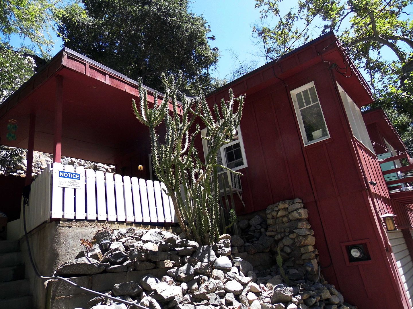
And although their architectural styles do vary—from, say, Craftsman to Tudor Revival, Spanish Colonial Revival, and everything in between—they all look of a certain vintage. 
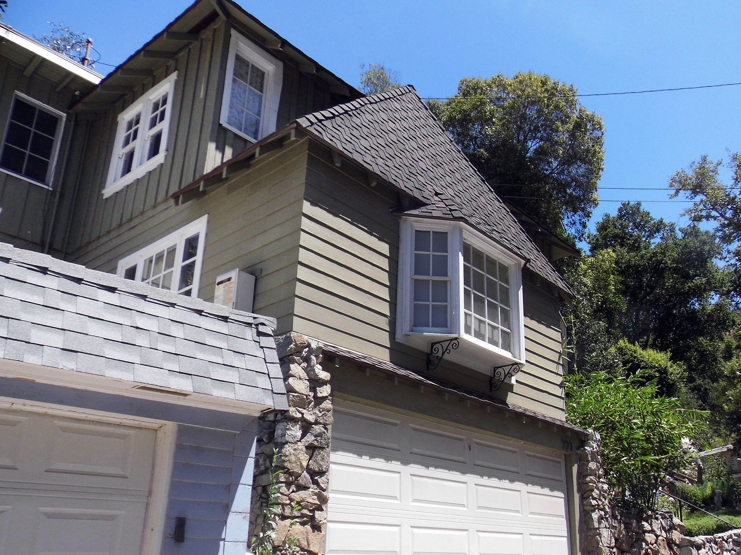

And in the case of the surviving cottages from the country club era—just a couple dozen of them—that means completion dates that range from approximately 1922 to 1929.
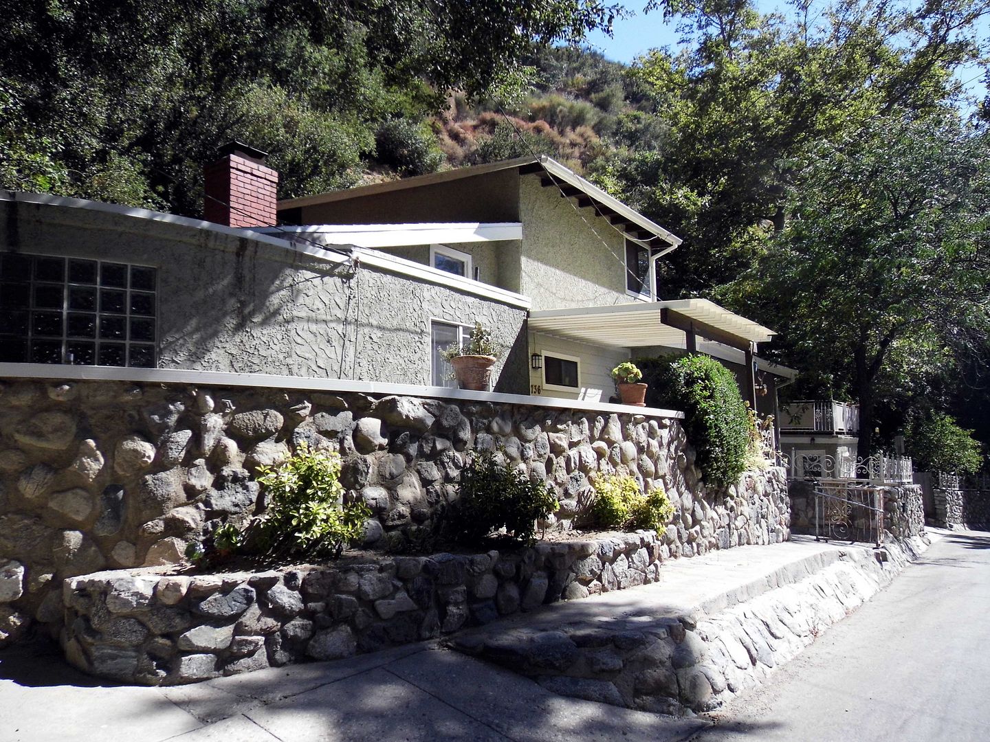

Even the newer residences—ones that were added to Country Club Drive long after the rest of the surrounding amenities were long gone—often appear just dropped on top of the old foundations and walkways.
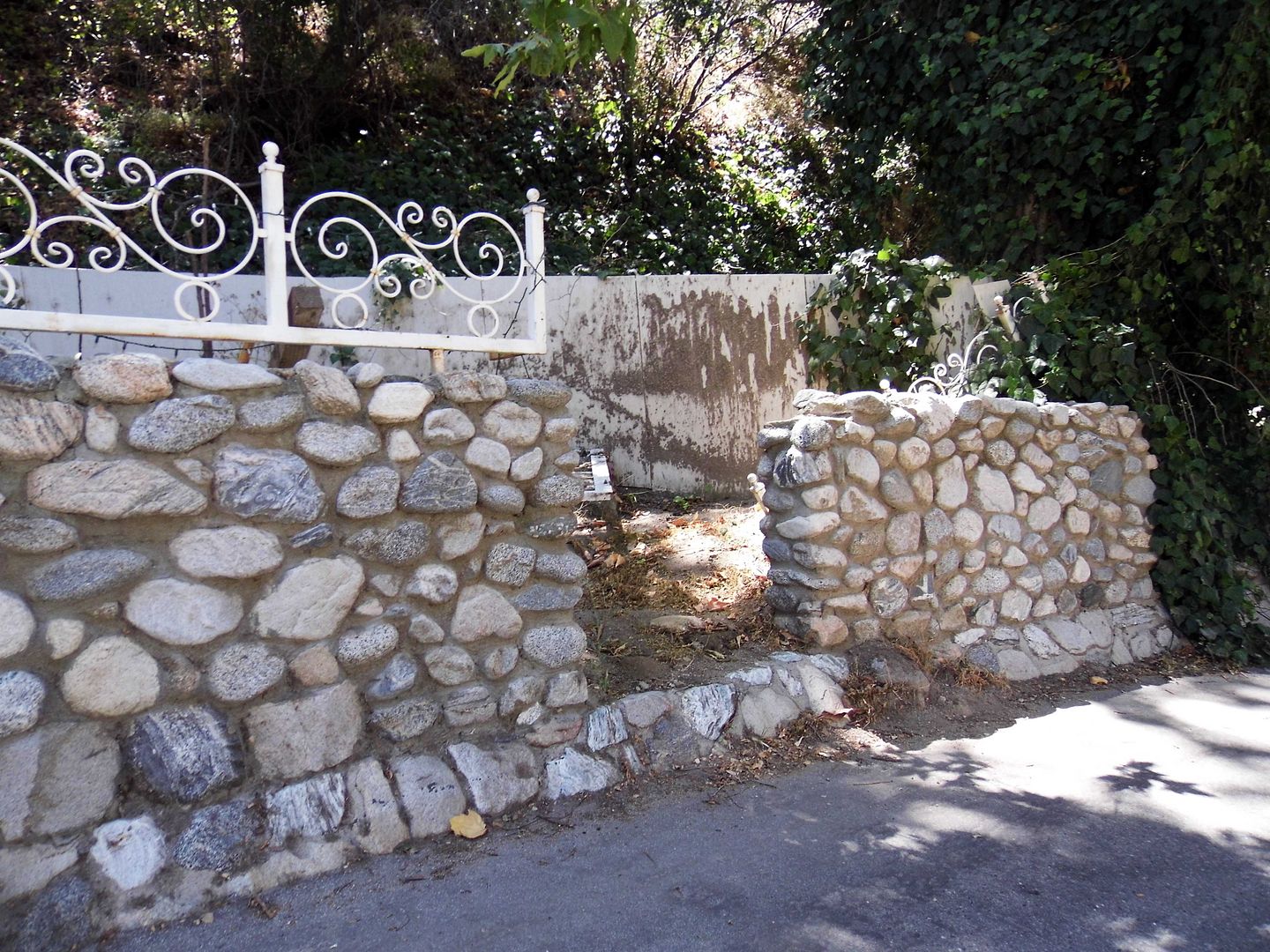


It's like they're being cradled by the ghostly remnants of their fire-consumed predecessors.
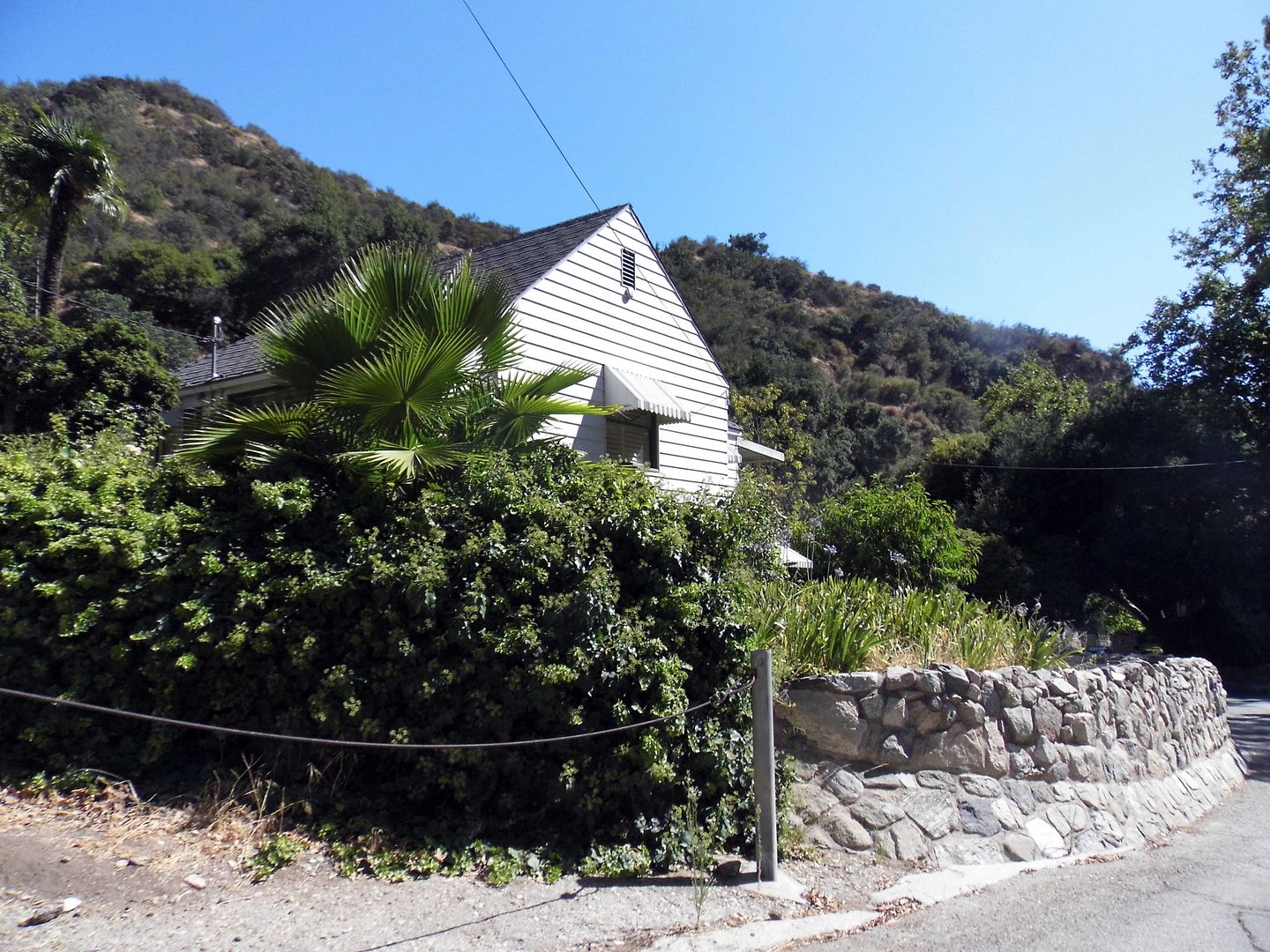

It's actually a miracle that so many of these historic structures do still stand, including the ones built after the devastating 1927 fire—especially given their proximity to the dry brush that still so frequently ignites.
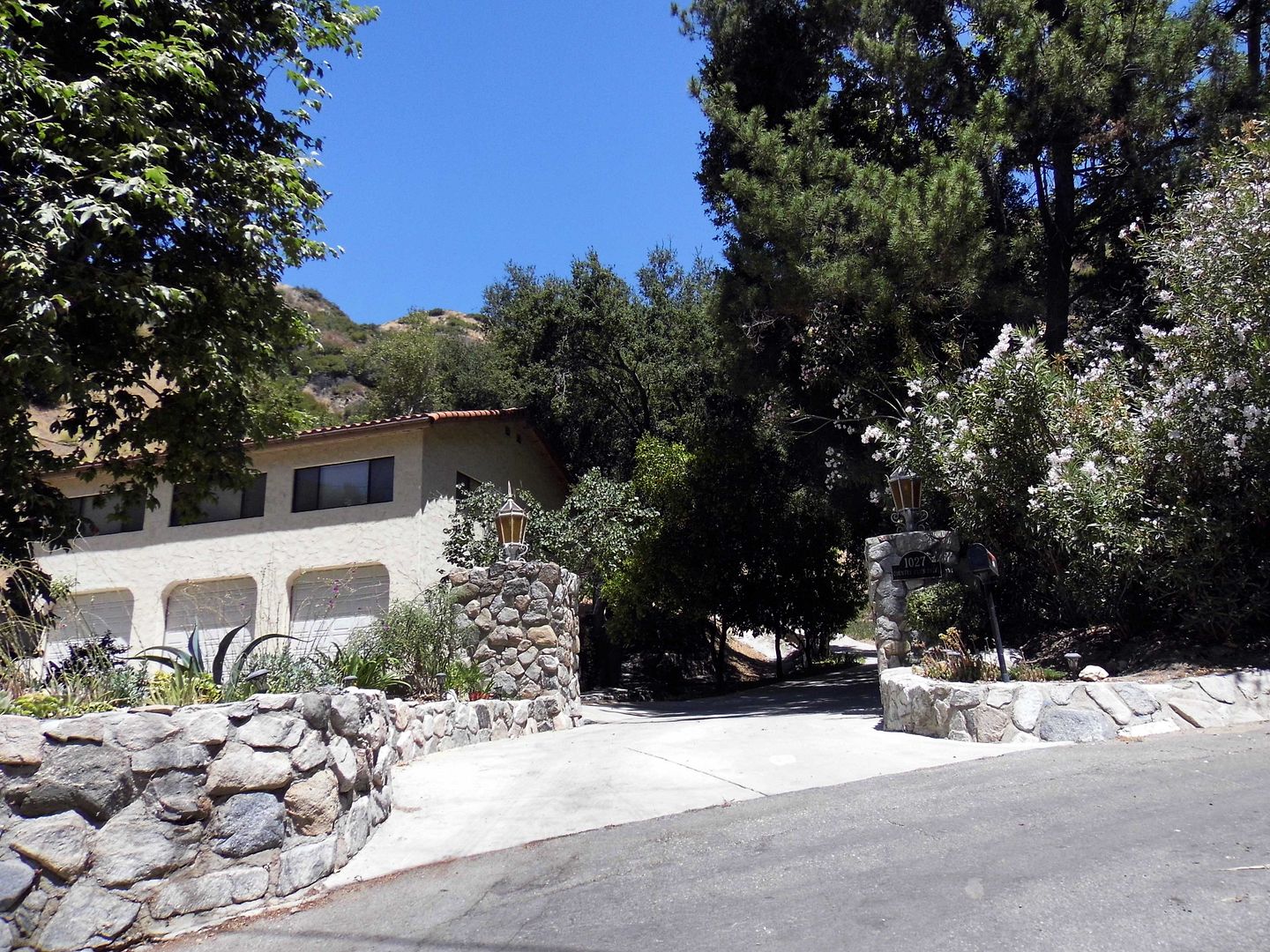

built 1928

And when it's not fire besieging the area, it's flooding and mudslides. In 1965, local media reported residents being bulldozed out. 
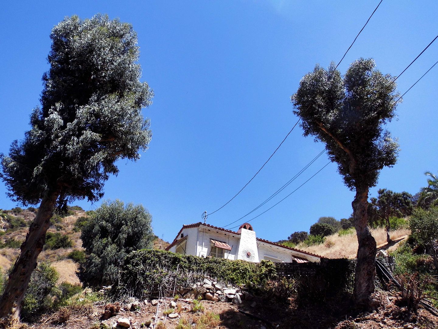

built 1929

At the time that Sunset Canyon Country Club opened in 1922, it was the only private country club in the Valley—by 1923, signing up nearly 2,500 members.

That was the same year that the first nearby brushfire broke out, with 75 cottages being evacuated as firefighters (not all professionals, it seems) doused the flames with water extracted from the swimming pool.

Miraculously, the club was saved from that fire—but it would only survive another four years before another conflagration would help seal its fate.

built 1928, former home of aviator Laura Ingalls
As a Los Angeles Times article described the 1927 inferno, "The canyon is exceedingly narrow, and served as a chimney through which the flames poured." Firemen had to "flee for their lives."
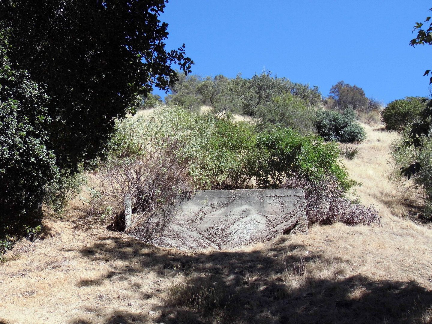


As I proceeded up Country Club Drive on my exploration, the collection of cottages got sparser—and I imagine this is at least one spot where the wildfire raged through the path of the club's structures. In total, that 1927 fire took down nearly 100 cabins—with damages estimated at $500,000.
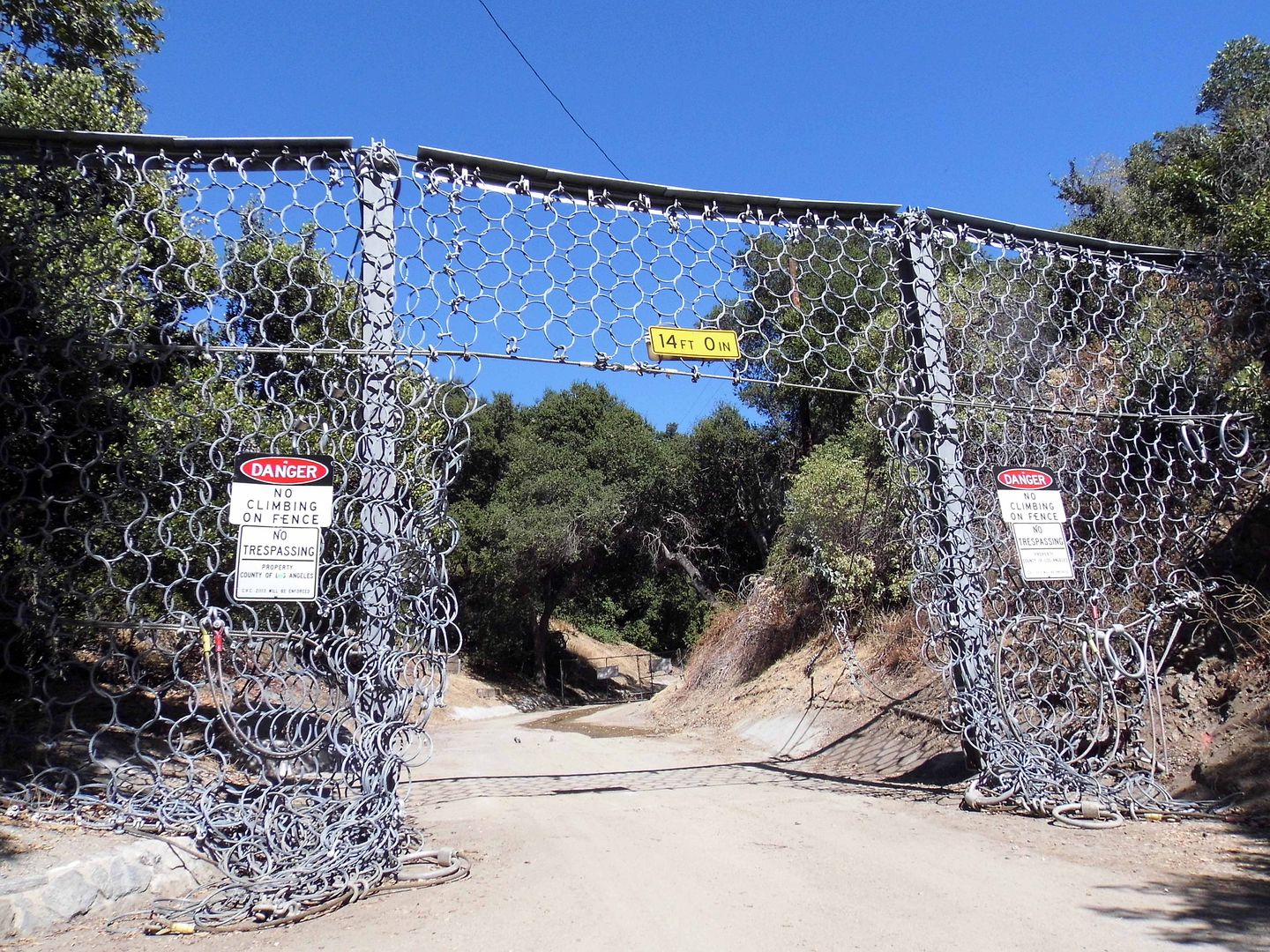


And then, the road just ended at an entirely different kind of gate—one that I could've driven through, were it not for the whole trespassing thing.
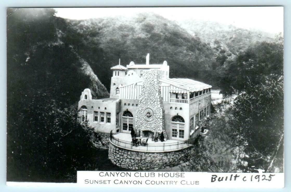

Photo: eBay

Somewhere up there is where the $75,000 clubhouse once stood.
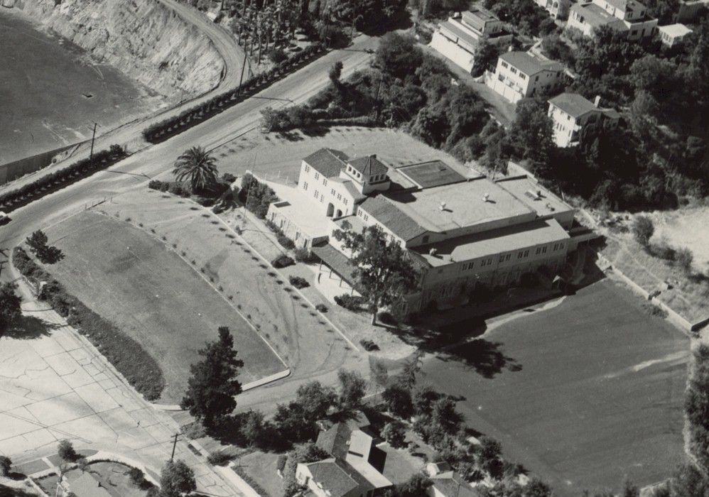

Photo: wesclark.com

But the year before the fire, in 1926, the Sunset Canyon Country Club had built a new 19,000-square-foot structure on nearly 4 acres at the bottom of the hill at Sunset Canyon Drive—and relocated its main clubhouse there. 
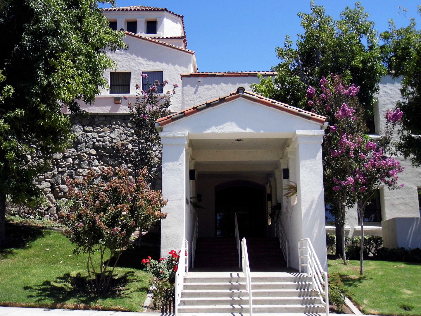


Designed by LA architect Mott M. Marston in the Mediterranean style, and surrounded by the golf course on three sides, the clubhouse boasted "the largest dining and dancing facilities of any Country Club in Southern California"—and even reportedly functioned as a speakeasy during Prohibition.
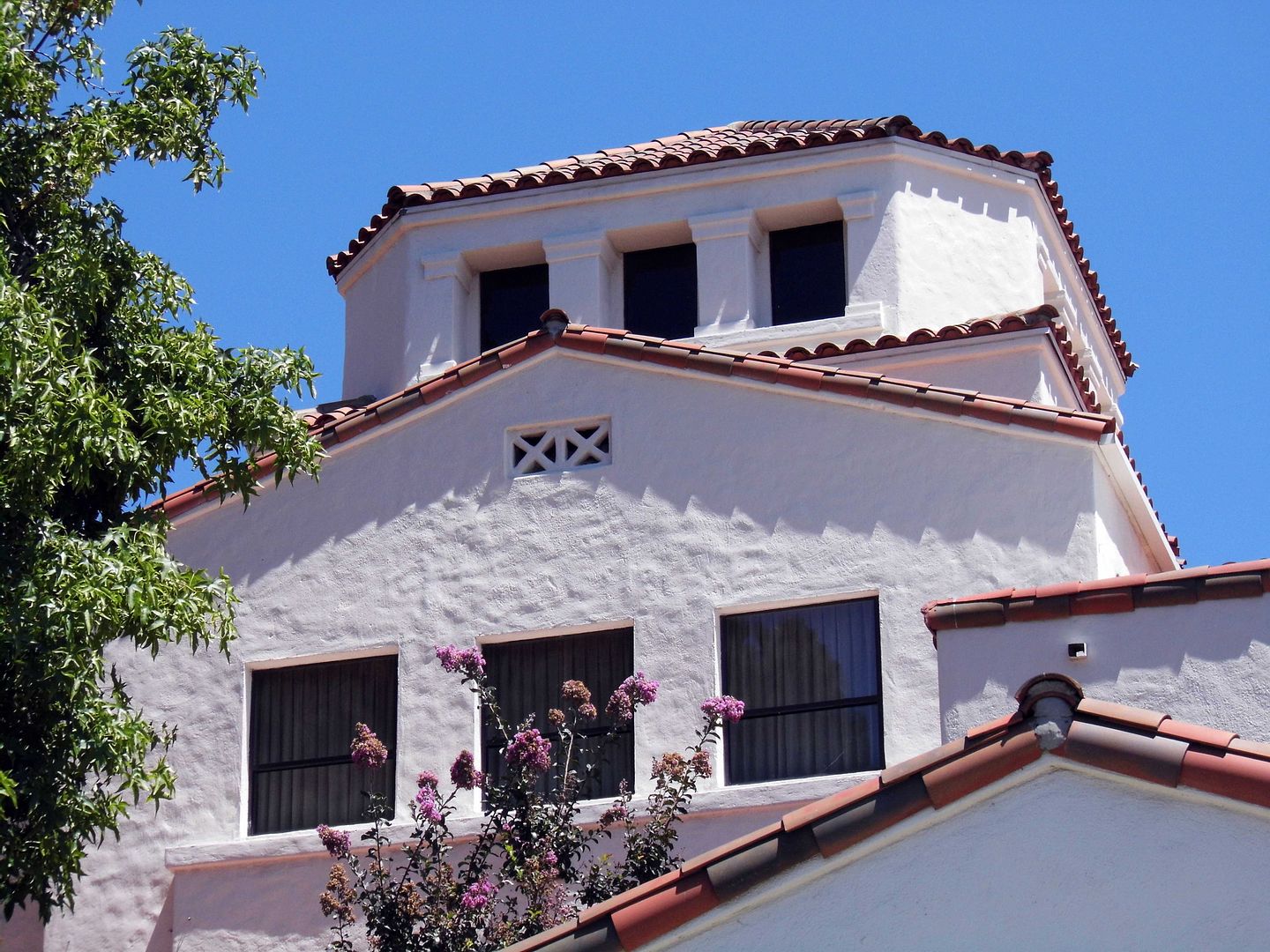


But by the 1930s, the club had run its course—and could never financially recover, especially considering the blow dealt by the stock market crash of 1929.  From 1933 to 1939, the City of Burbank owned the entire country club, during which time it subdivided and sold much of the property.
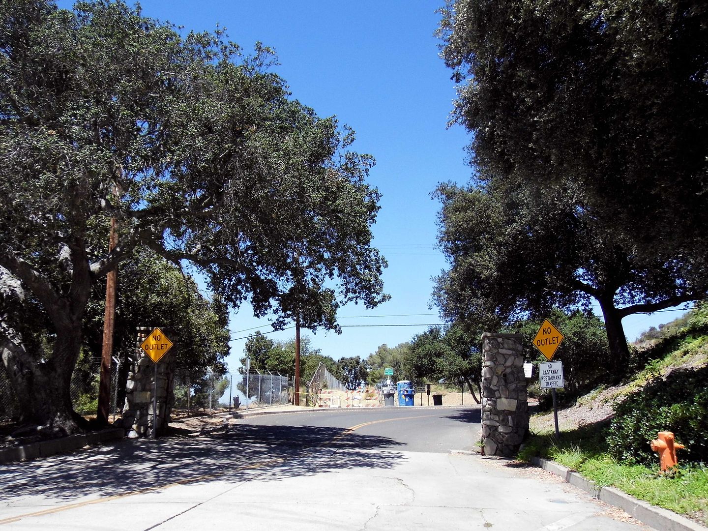


Today, the second clubhouse still stands—behind another set of stone gates, still occupied by the Church of Jesus Christ of Latter-day Saints as it has been since 1939 and still functioning as the main Mormon church building in Burbank.

The LDS church actually turned down the option of also purchasing other parts of the former country club—including the pool, which was instead sold to competitive swimmer and Tarzan star Johnny Weissmuller, who reportedly swam there everyday until he moved away in the 1950's.

The pool is now part of the LA County-operated Sunset Debris Basin—as is much of the rest of the property, in an attempt to manage runoff coming down from the mountains.

One of my most unique finds in the LA area!

For more info, clippings, and images, check out "A New Year’s Eve Party Broadside, Sunset Canyon Country Club, Burbank, 1929" on The Homestead Blog from the Workman-Temple Homestead Museum.

For more background on the 1927 Verdugo Hills fire, visit Mike Lawler's excellent column "Treasures of the Valley" for the Crescenta Valley Weekly

Related Posts:
Photo Essay: A Rock House of Plays, Poetry, and Ceramics (and The Cross That Overlooks It)
Photo Essay: Tracing the Remains of the First Busch Gardens
Photo Essay: Combing the Beach For the Royal Palms Country Club
Photo Essay: Modernism in the Verdugo Woodlands

September 27, 2019

Photo Essay: A Strong New Bridge Rises Beside A Crumbling Old One in Long Beach

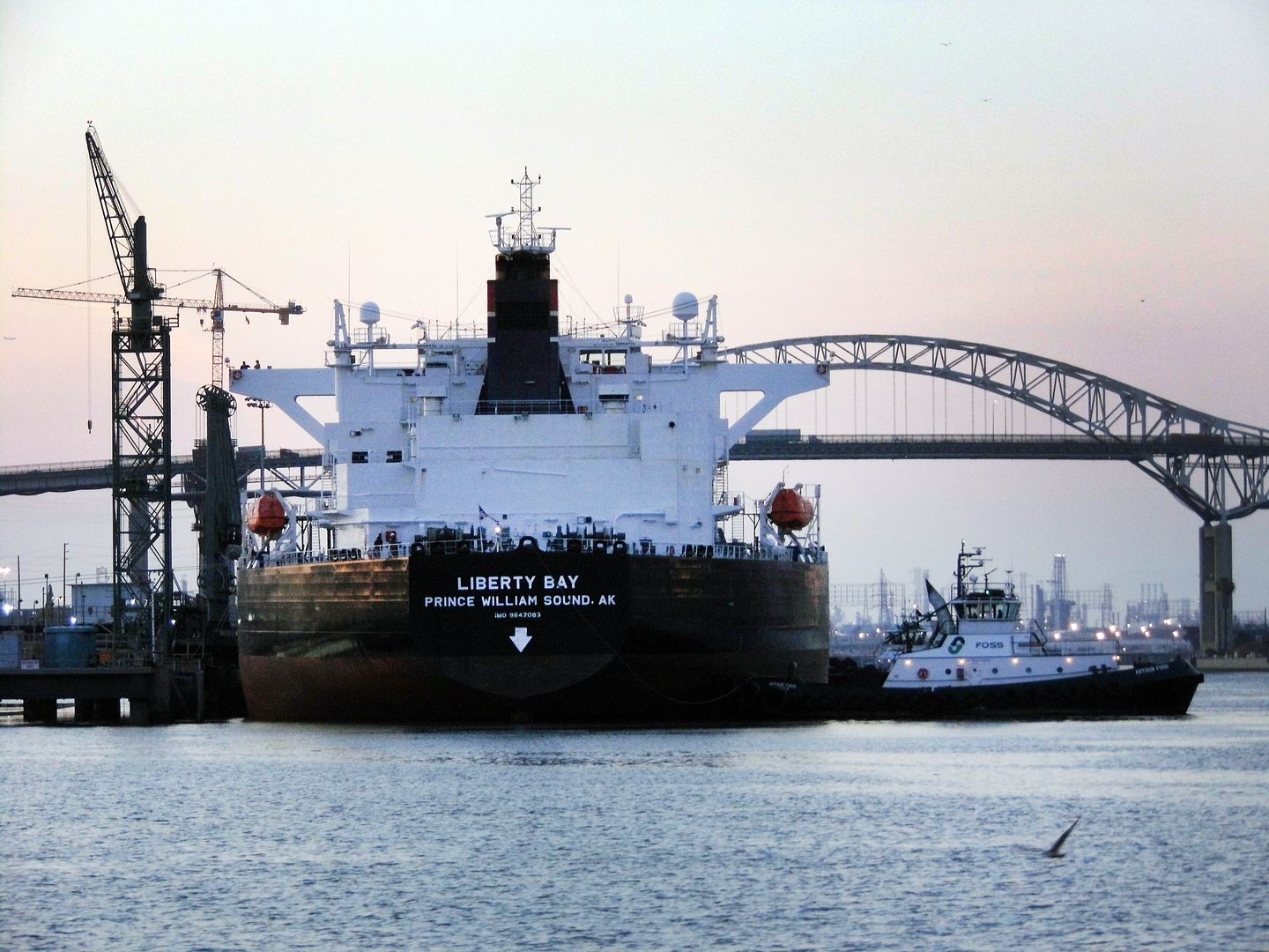
I first heard of the Gerald Desmond Bridge in Long Beach the first time I saw it—on a boat tour of the Port of Long Beach in 2016.


I'd never had the occasion to drive across it...


...and suddenly, I found myself sailing under it.


Three years ago, the Gerald Desmond Bridge Replacement Project had already broken ground three years before that, in 2013.


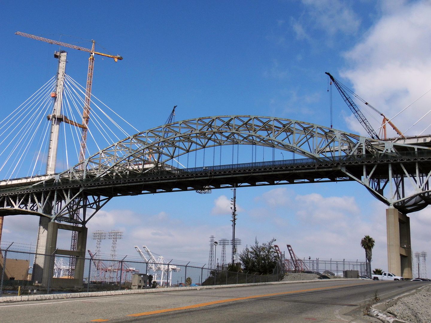
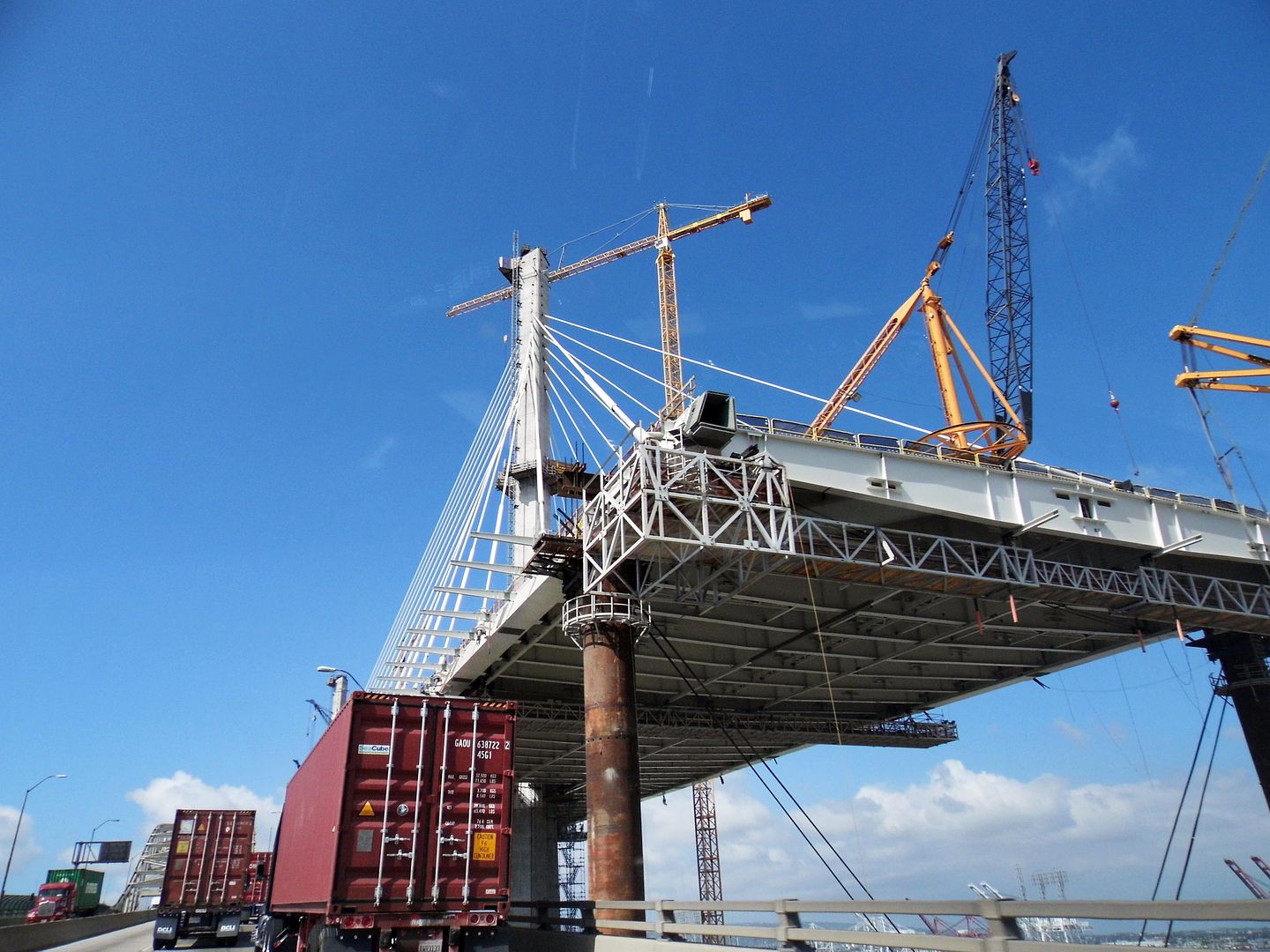
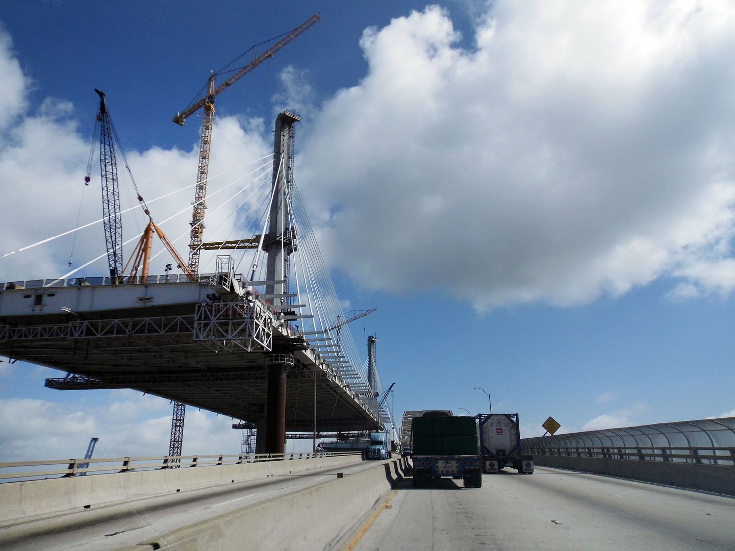
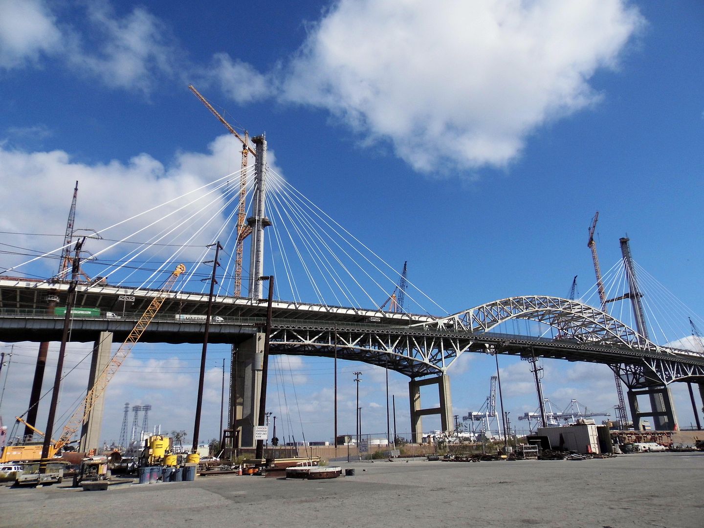
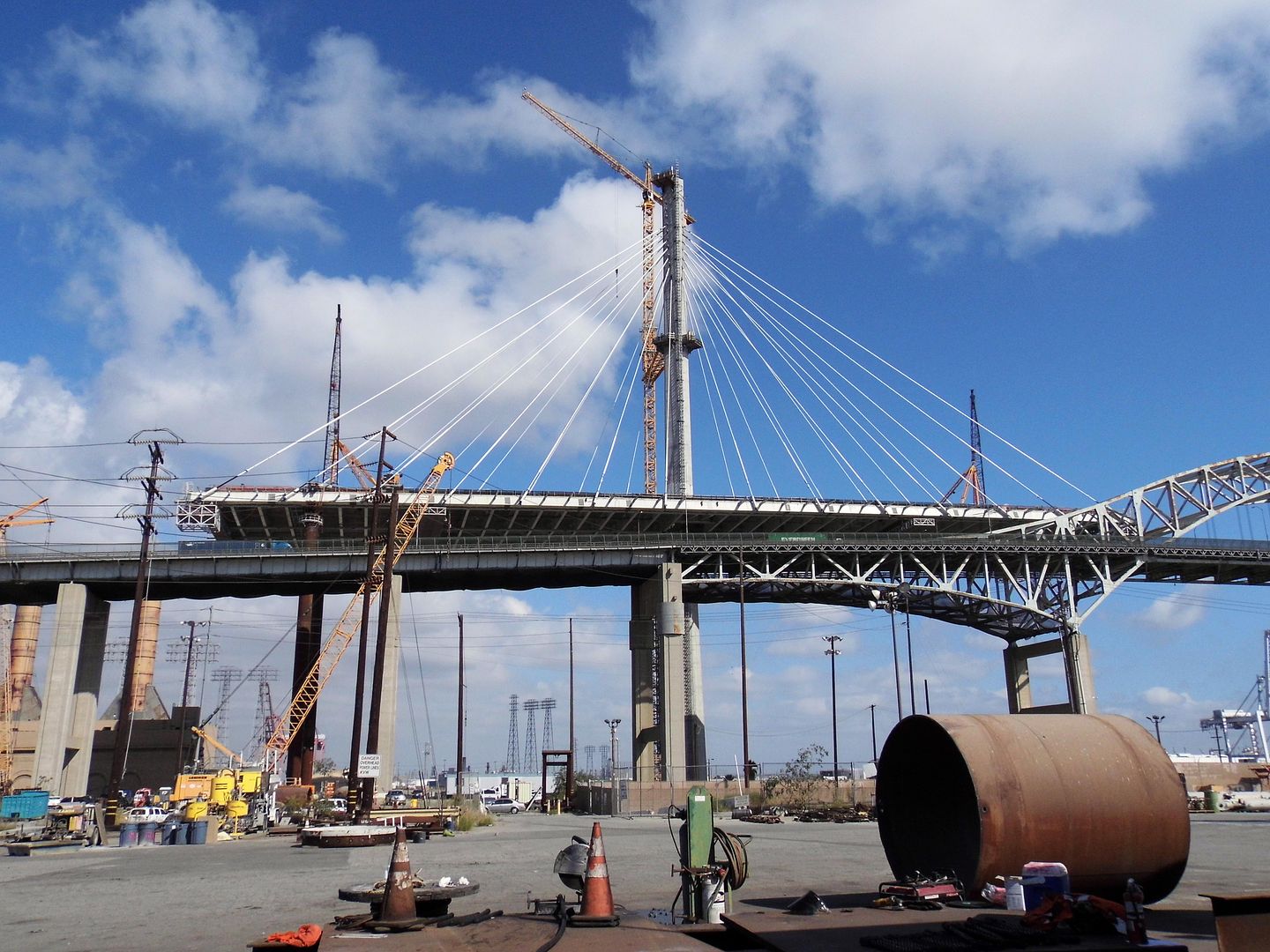
And six years later, I got the chance to check out the progress of the new bridge, which is being built alongside the extant bridge.


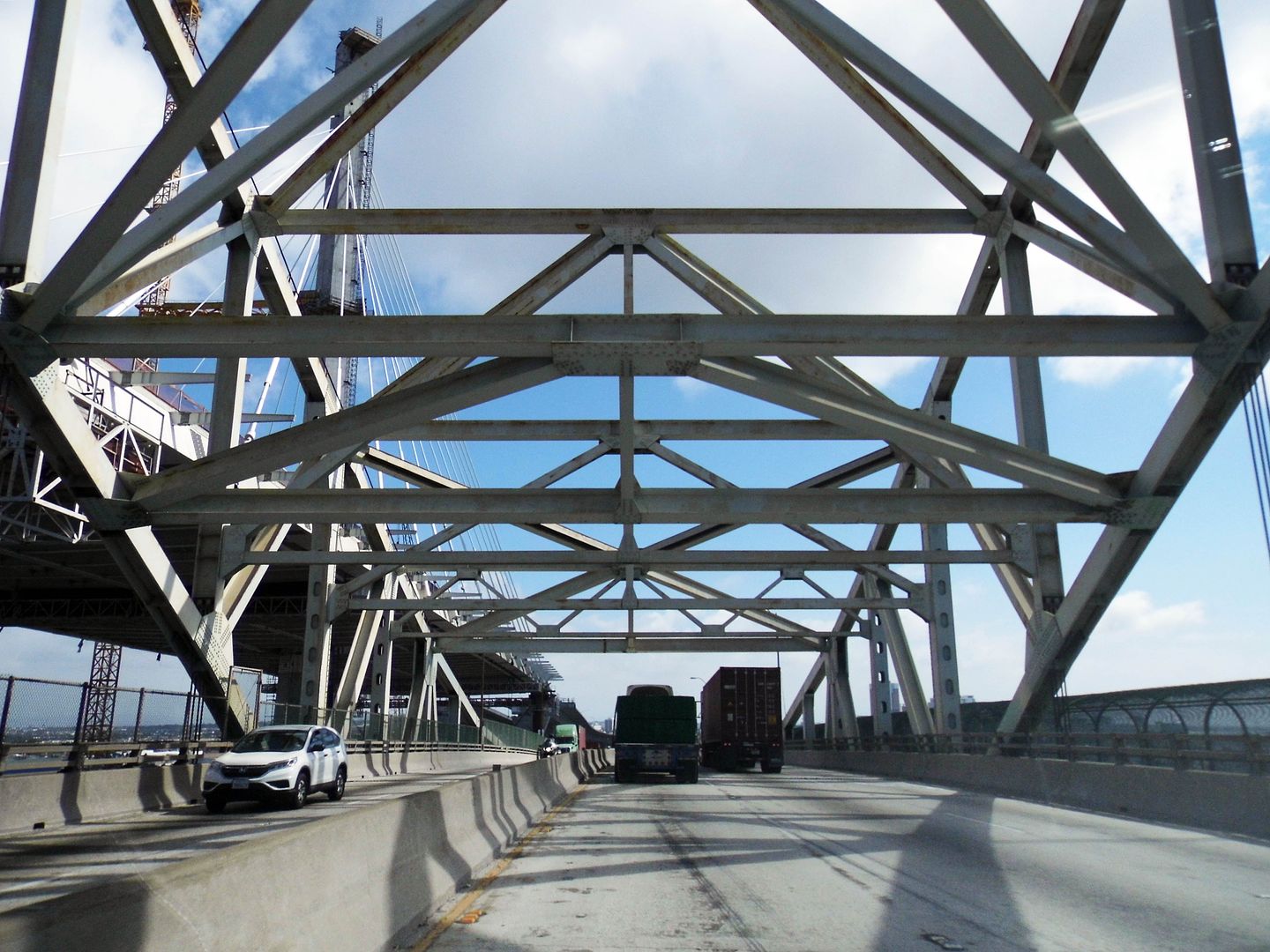
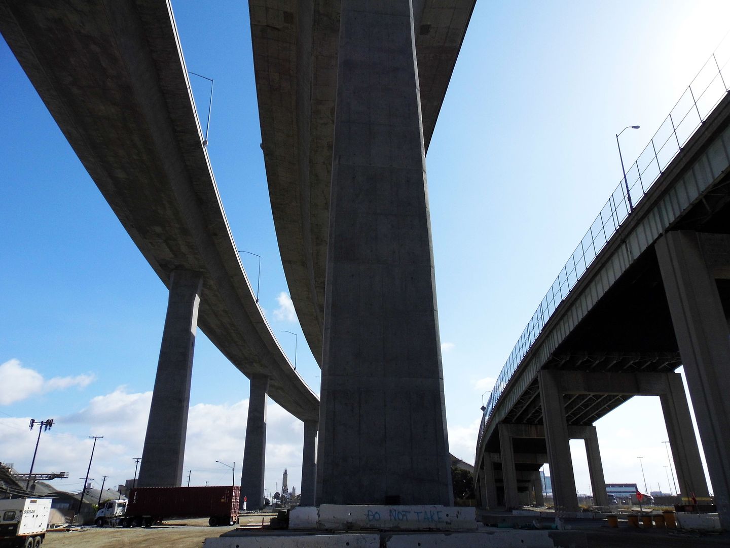
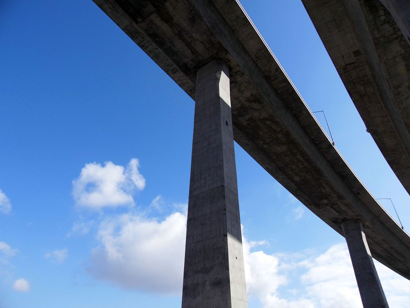
When you drive across the current Gerald Desmond Bridge (its replacement will probably have a new and different name), you can really see how short it is—and how much taller the Port's Back Channel crossing needs to be.


In fact, the new bridge will feature the highest deck of any cable-stayed bridge in the U.S. And it'll be California's first long-span cable-stayed bridge in California and LA metro's first cable-stayed bridge (and for now, only).


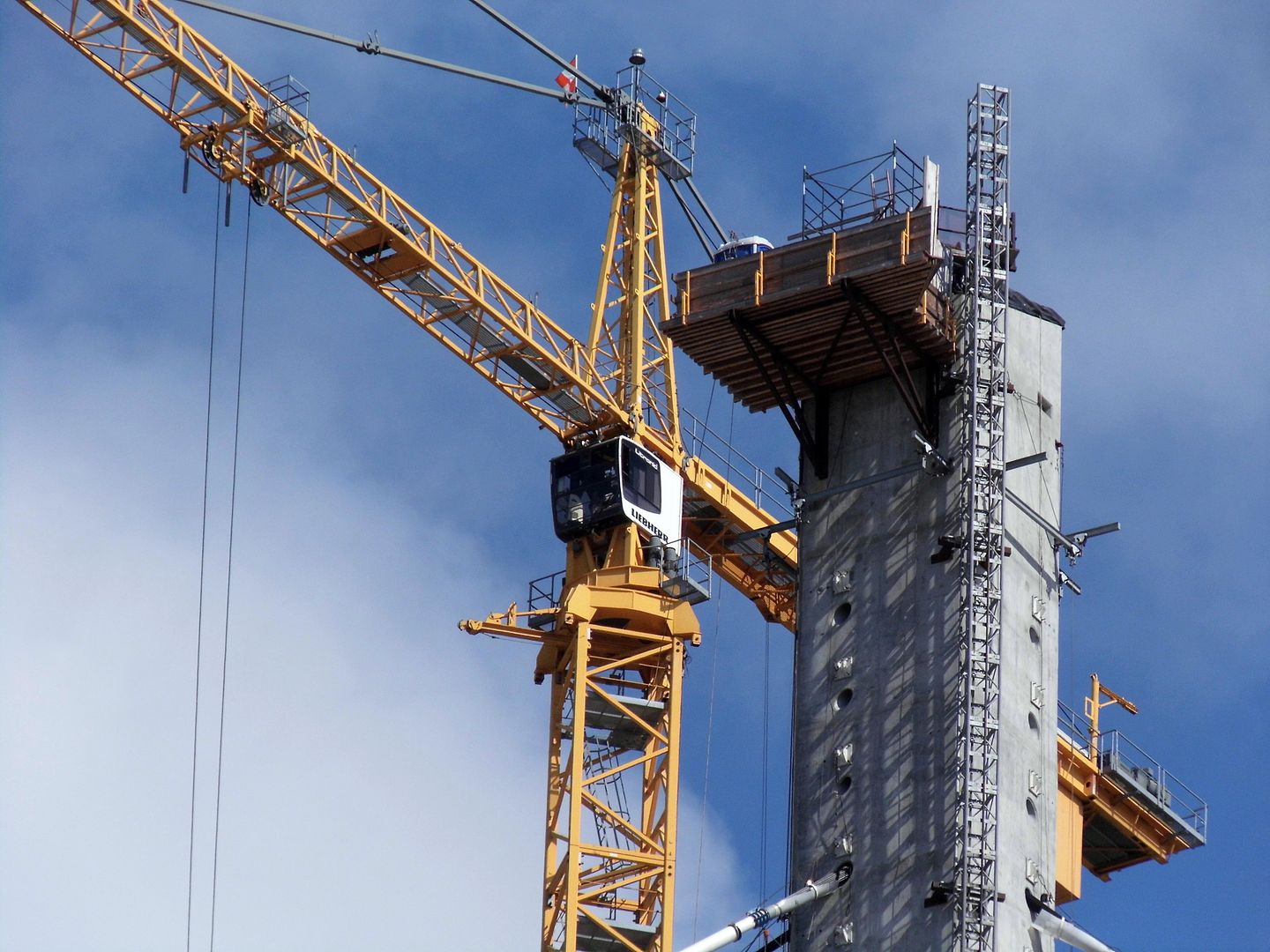
In cable-stayed bridge designs, cables (or "stays") connect directly from the road deck to the bridge's load-bearing 515-foot towers (or pylons)—rather than the entire bridge being "suspended" from above. (The Brooklyn Bridge uses a combination of cable-stayed and suspension technology.)


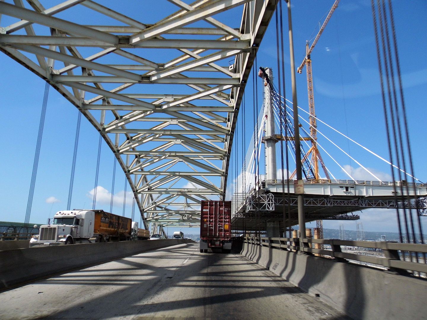
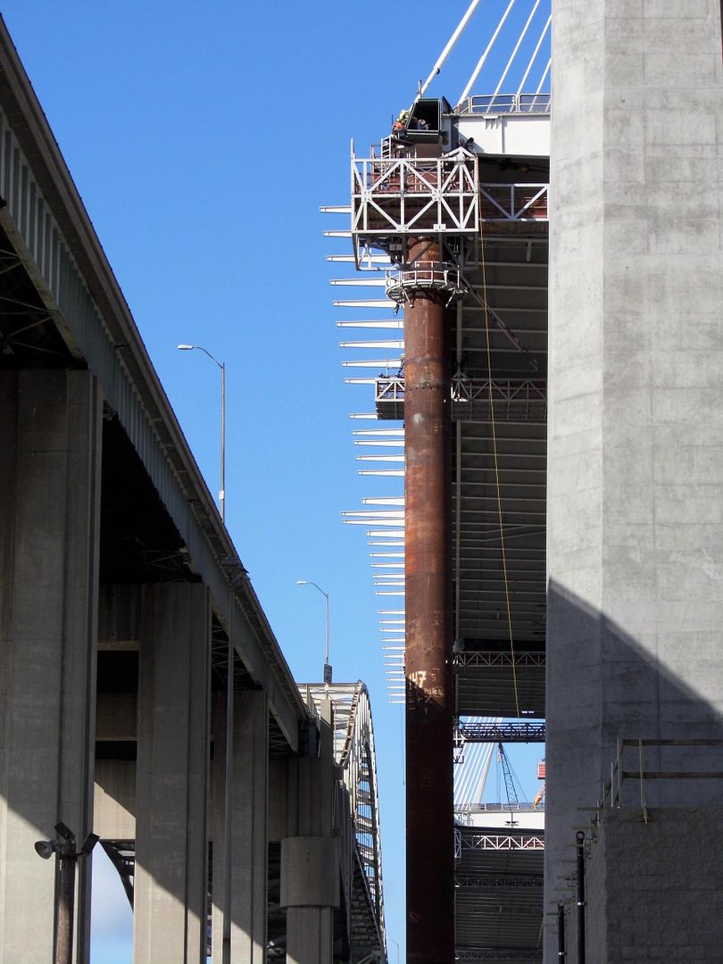
It feels precarious to drive past it while it's still under construction...


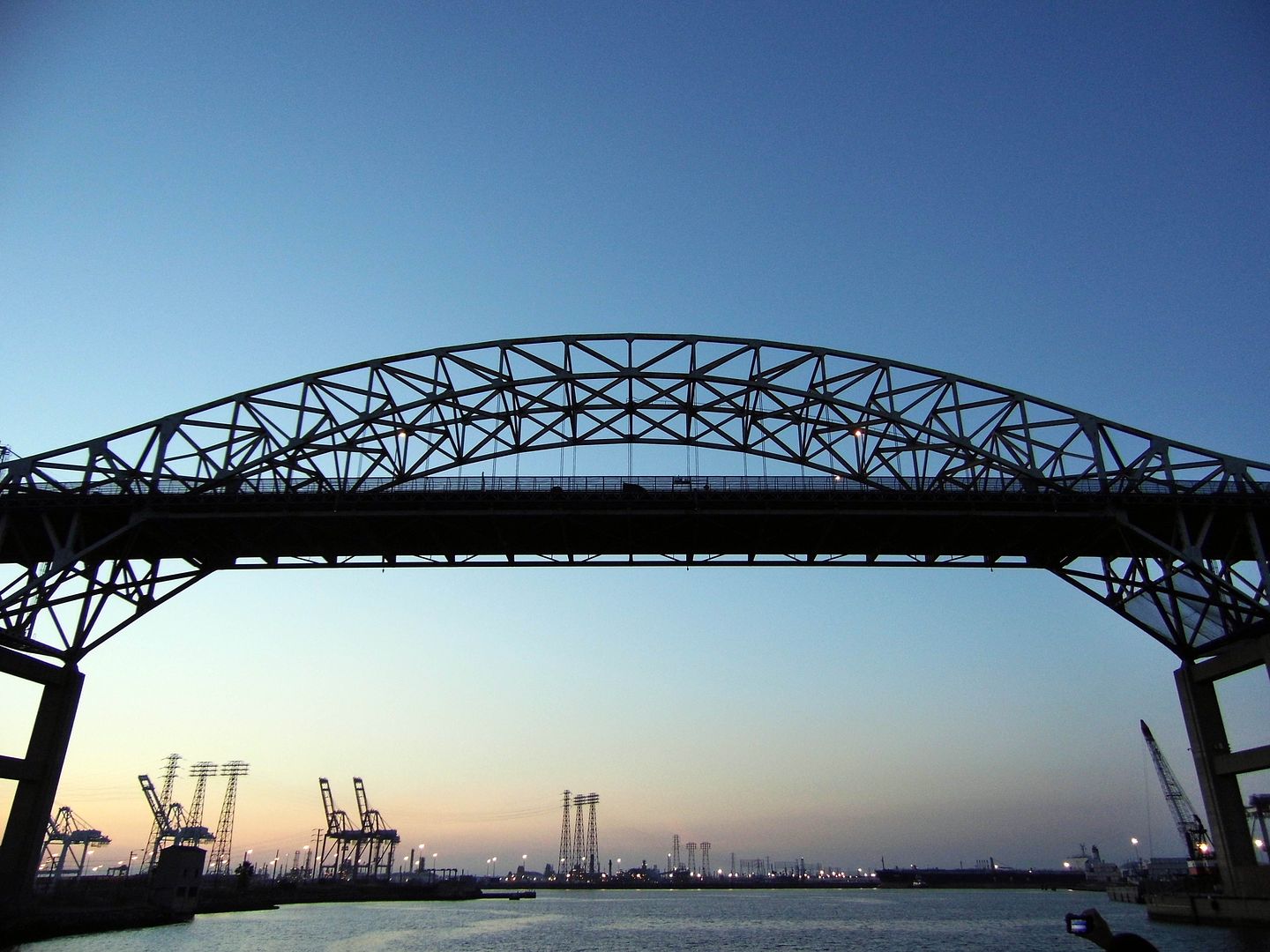
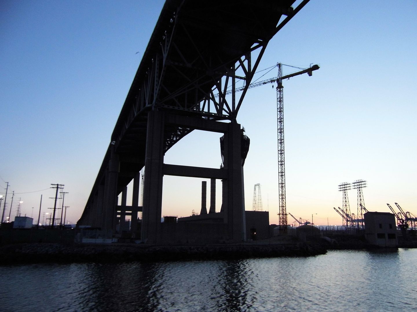
...but driving across the disintegrating through-arch bridge it's replacing is somehow even worse, especially if you've seen the nets (or "diapers") that hang underneath the trusses to catch pieces of crumbling concrete that have been falling off for the last 15 years.


Competed in 1968, the Gerald Desmond Bridge has just surpassed its 50-year lifespan—but it's been functionally obsolete for a while now. It was built to provide vehicular access to the Long Beach Naval Shipyard, not one of the biggest commercial ports in the country.


With 155 feet of vertical clearance, modern-day container ships can't make it underneath. The new bridge will bring that clearance up to 205 feet.


At 527 feet in length—with the western terminus at Terminal Island and the eastern terminus at Ocean Boulevard, which leads to Downtown Long Beach—the approach for trucks is actually quite steep. By elongating its replacement to a span of 2000 feet, the engineers are cutting truck drivers a not-so-insignificant break. (The west approach from Terminal Island alone will span 2800 feet and the east approach, 3600 feet.)


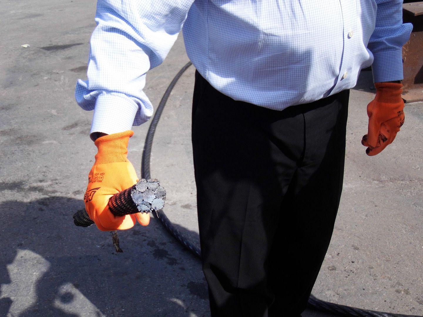
Just 40 cables will support this new, larger bridge—though each cable is made up of anywhere from 45 to 109 individual strands, which you can really only comprehend when examining a cross-section of one of them.


The bigger challenge, we were told, has been the instability of the ground below—given its location smack dab in the middle of the Wilmington Oil Field.


So below the steel-reinforced concrete columns you see above ground (on top of the "pile caps"), there's much more concrete that's been poured underground to form foundation piles, as deep as 175 feet below the surface.


It had to be that way to keep the bridge from sliding or sinking.


Of course, some movement is always a good thing when it comes to bridges surviving earthquakes.


So, the engineers have actually "floated" the deck on top of the columns to allow some wiggle room and to make sure smaller, more easily replaceable parts (e.g. expansion joints) absorb the shock of seismic activity rather than the main parts of the bridge. Also, sections of the deck are connected by shock-absorbing hinges, and dampers suppress vibrations where the cables meet the main span.


And that's a good thing, considering its proximity to the Newport–Inglewood Fault—the source of the 1933 Long Beach earthquake, California's second-most deadly earthquake in state history.

It's amazing that any bridge ever stands in Southern California, with all the forces that are working against them. But this new one is being built as a 100-year bridge—so hopefully it'll last longer than 50 years, at least.

Stay tuned for dispatches from the walking path and observation decks when they open in late 2019 or early 2020.


Related Posts:
Conquering LA's 'Golden Gate' Bridge
Triborough State of Mind