Search
June 22, 2026
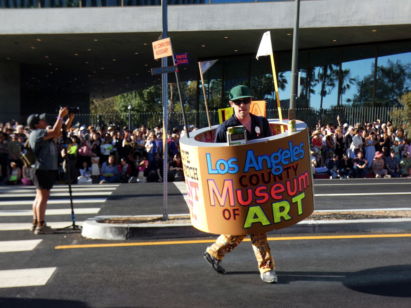
Photo Essay: LACMA Parades Down Wilshire Boulevard to Celebrate New Gallery Grand Opening

February 26, 2026
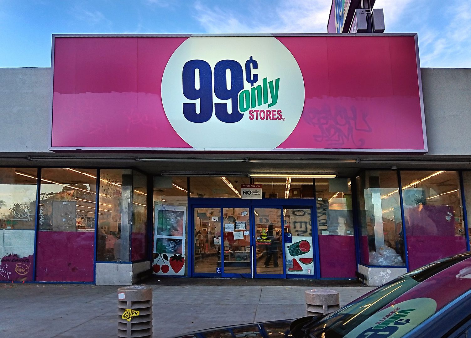
Photo Essay: An Anti-Frieze Art Gallery Takeover of the 99 Cent Store
October 06, 2023
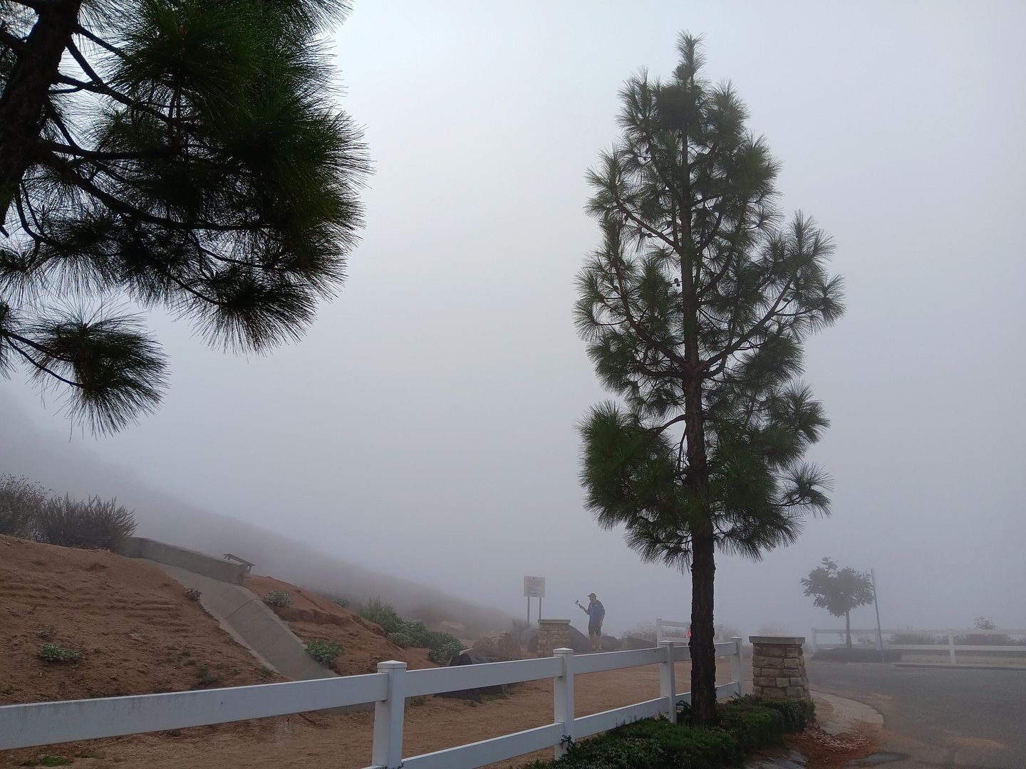
Photo Essay: Pumpkin Rock, Under the Cloak of Fog
September 27, 2022
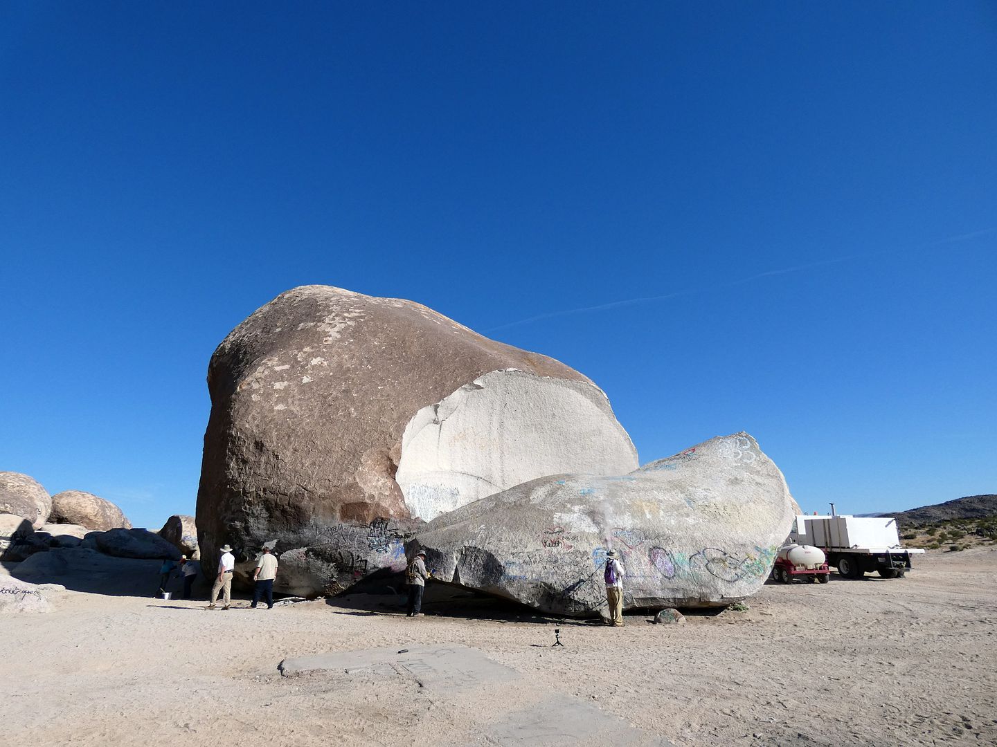
Photo Essay: Giant Rock, (Maybe) The World's Largest Freestanding Boulder & Mysterious Alien Beacon
November 15, 2020
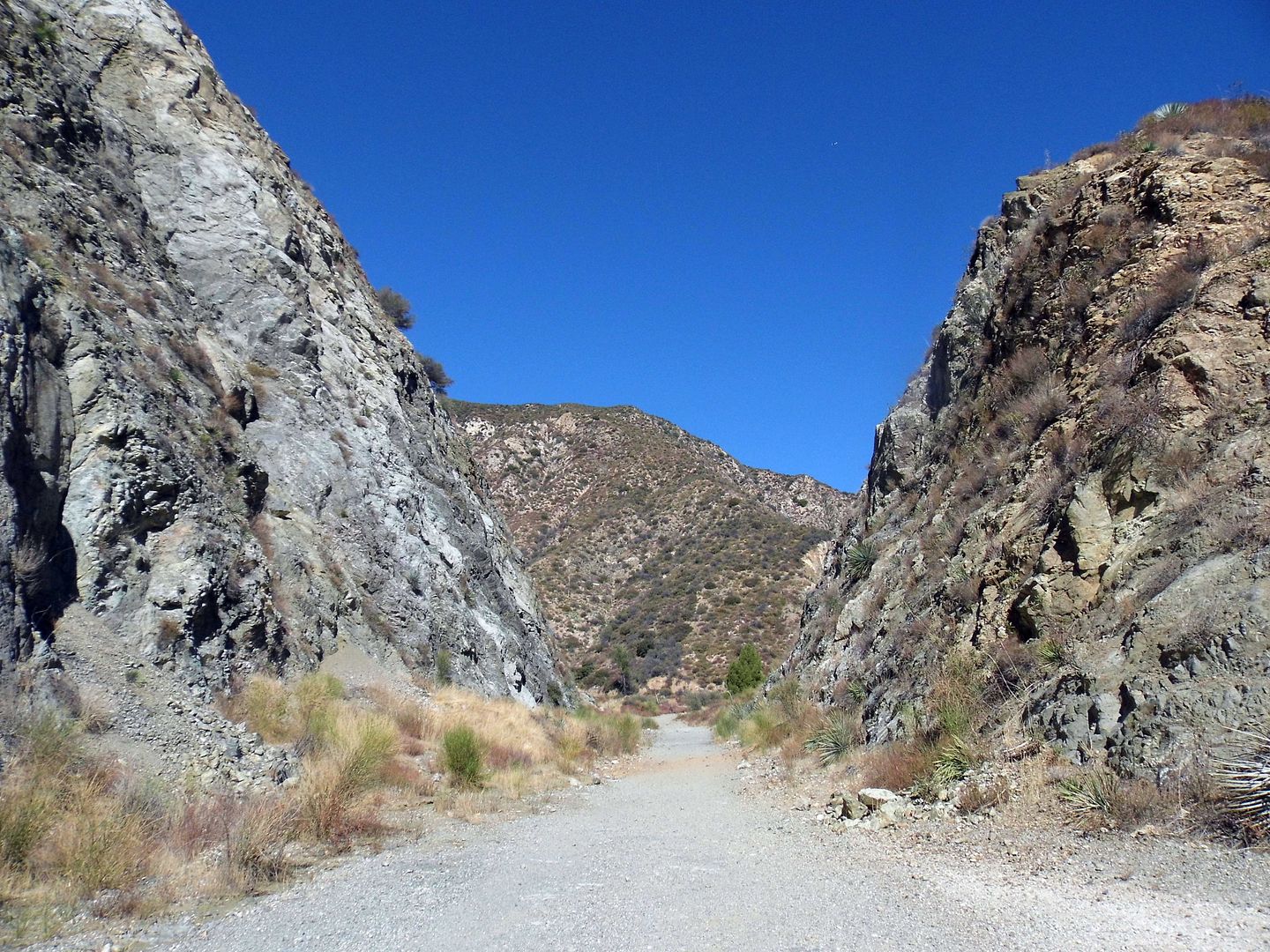
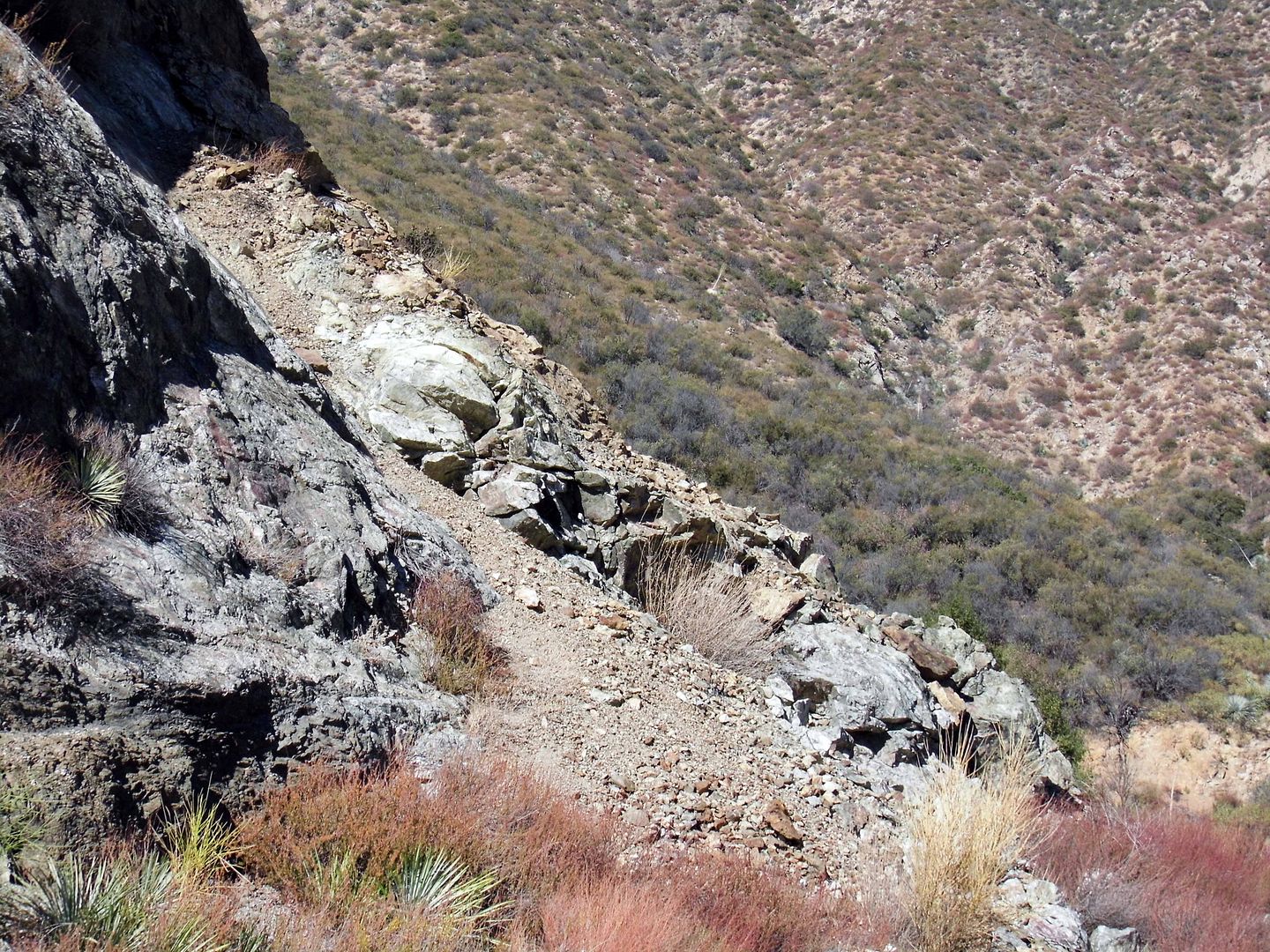
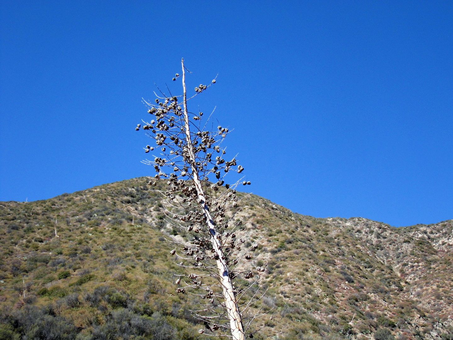
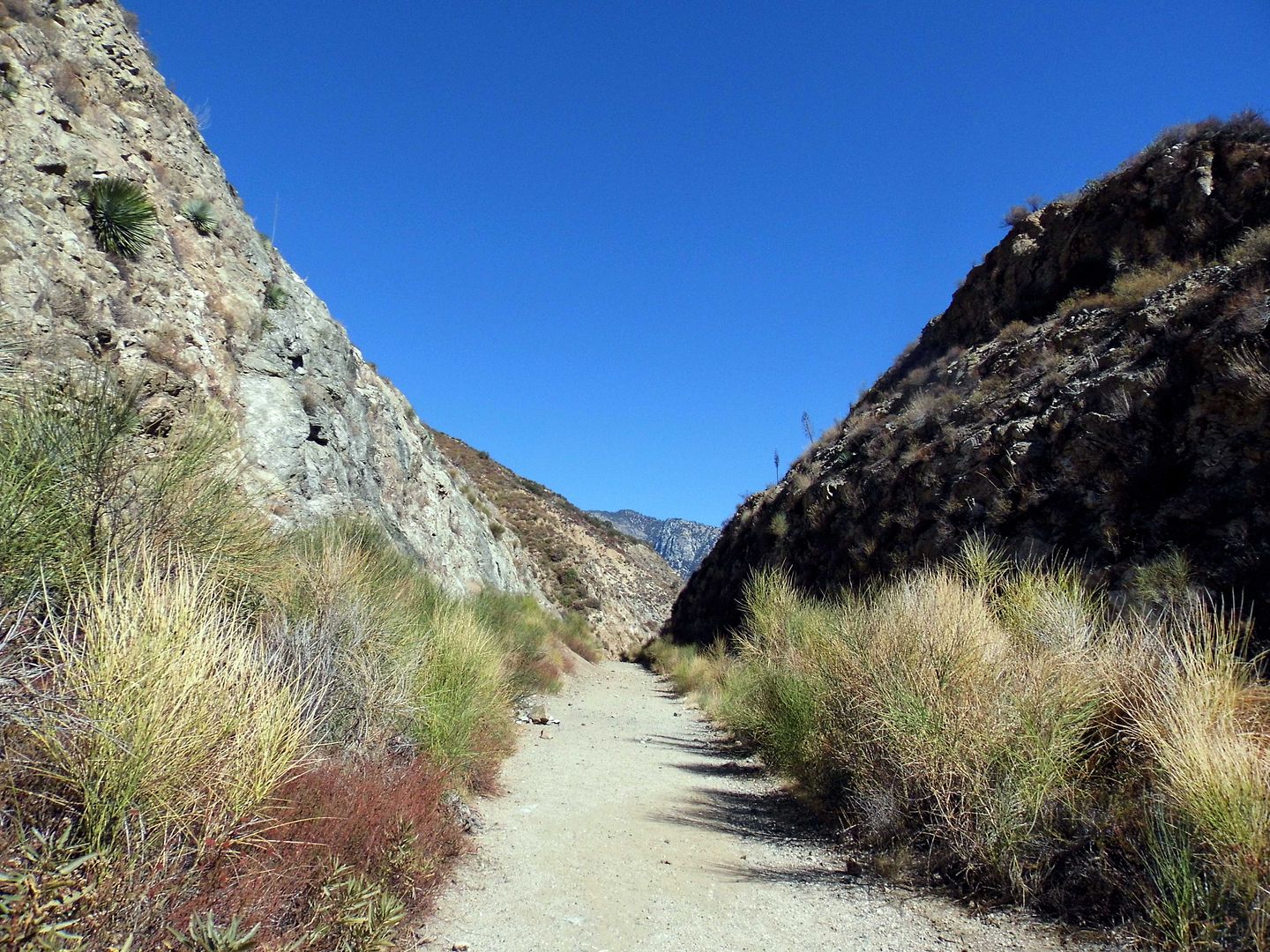
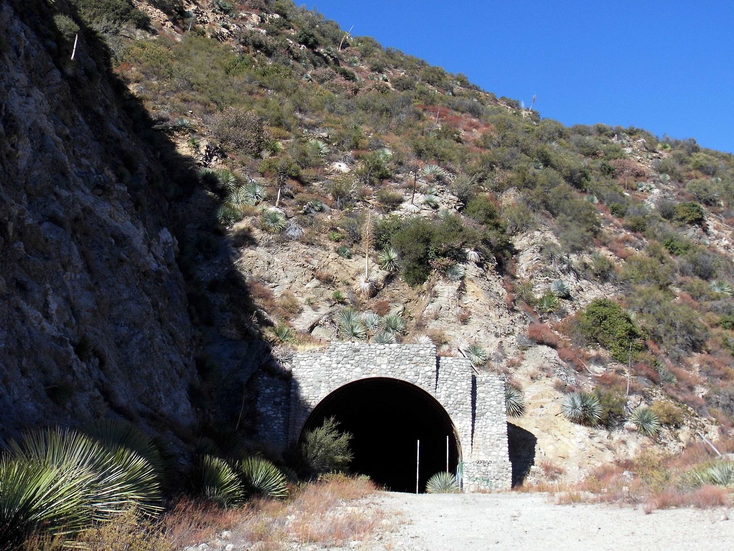
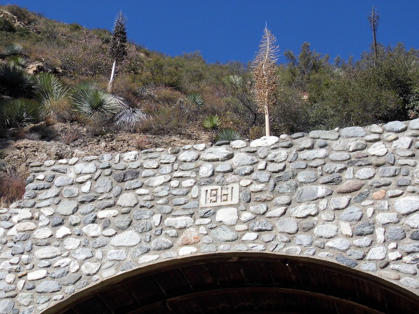
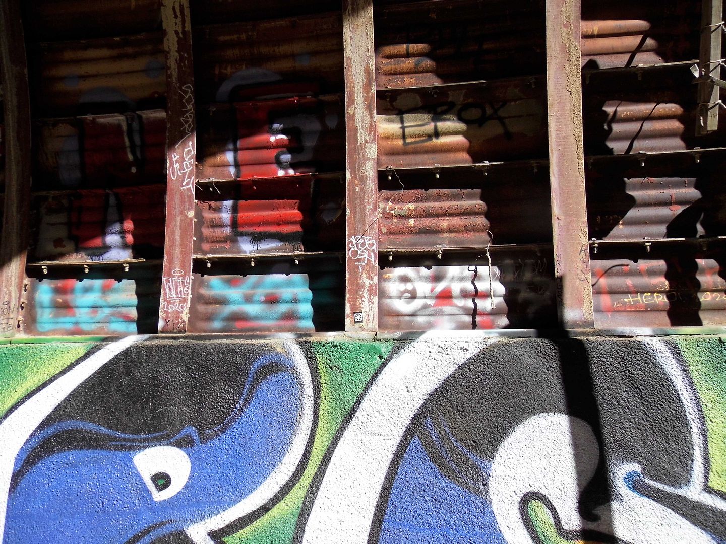
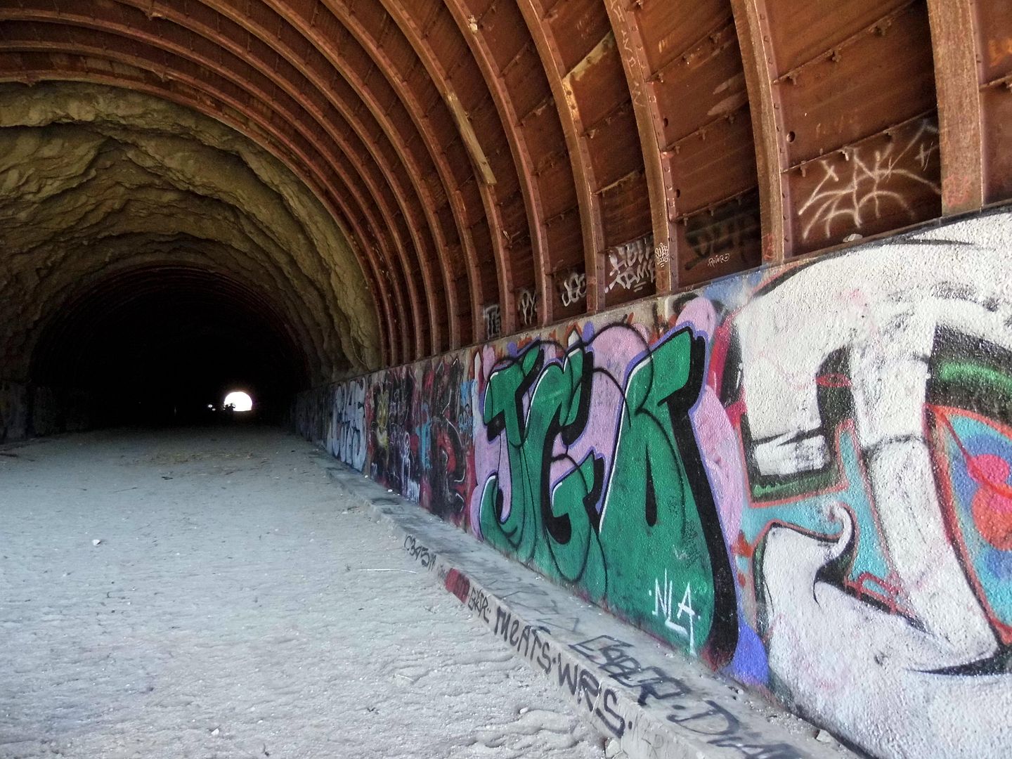
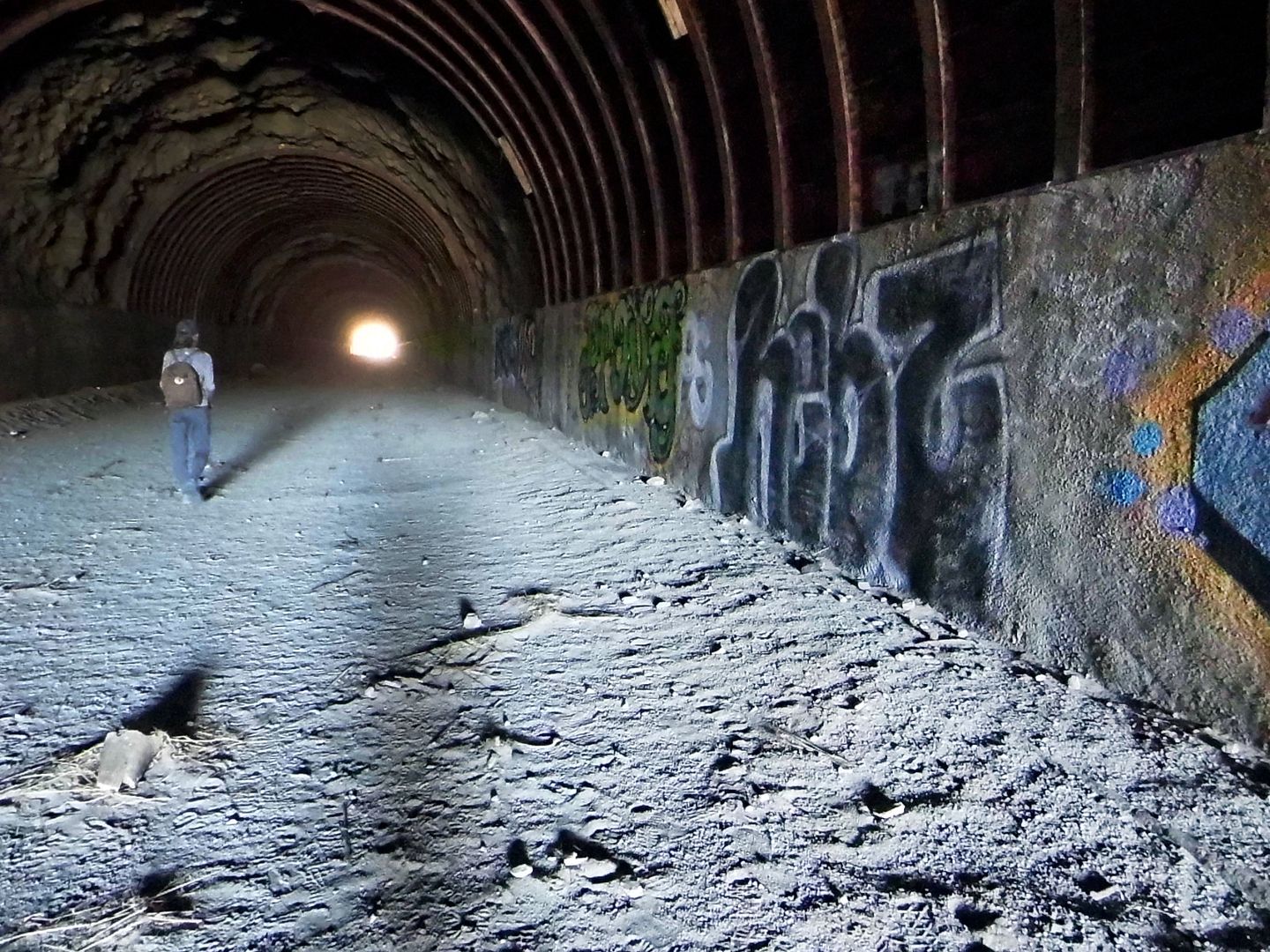
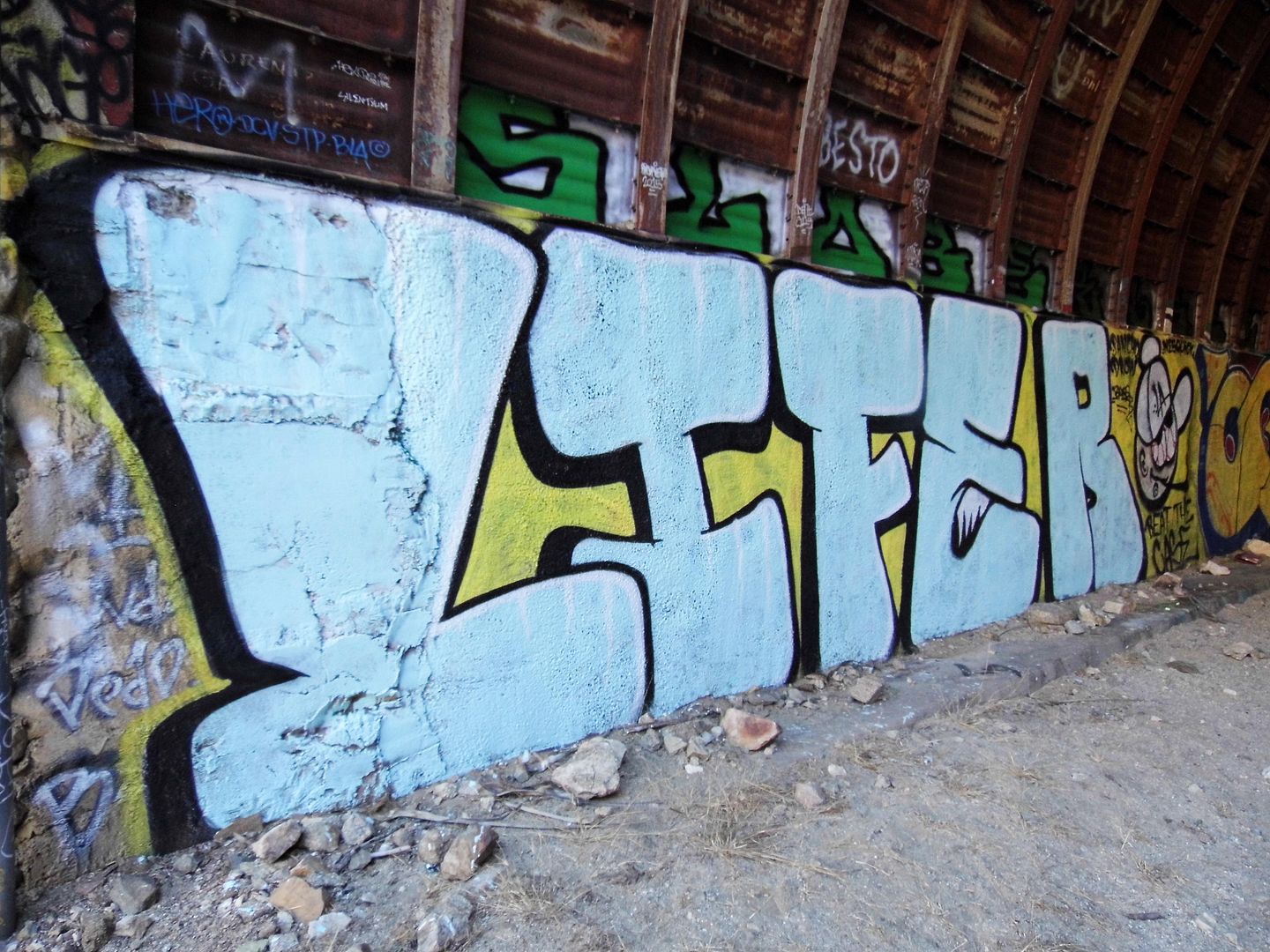
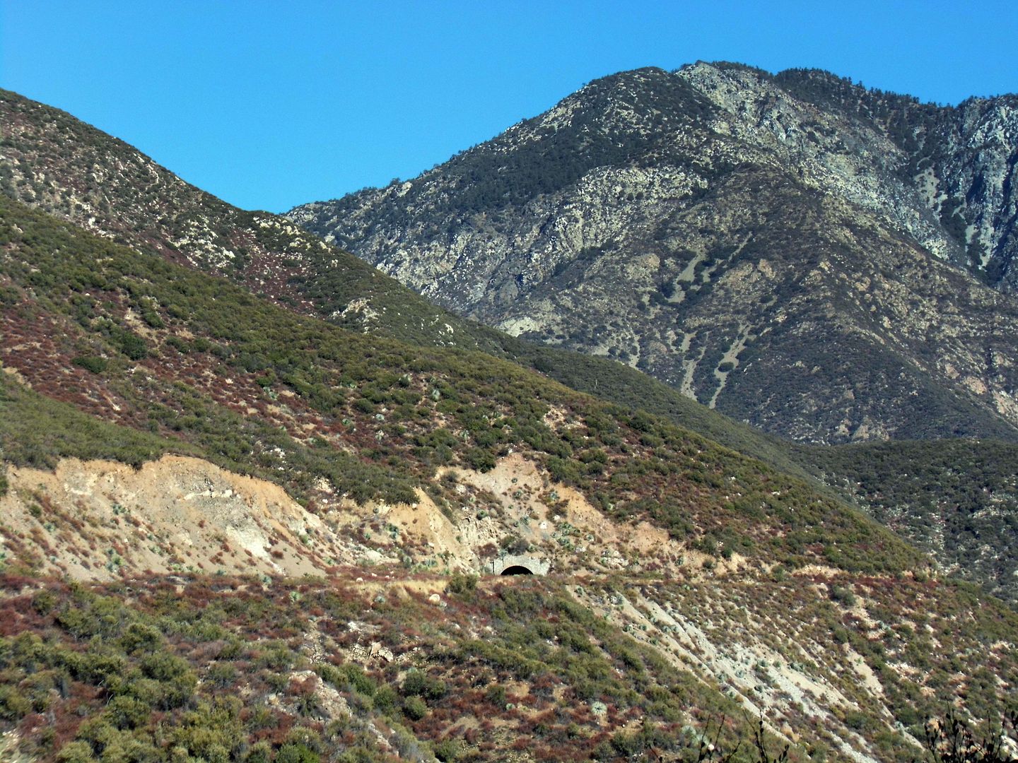
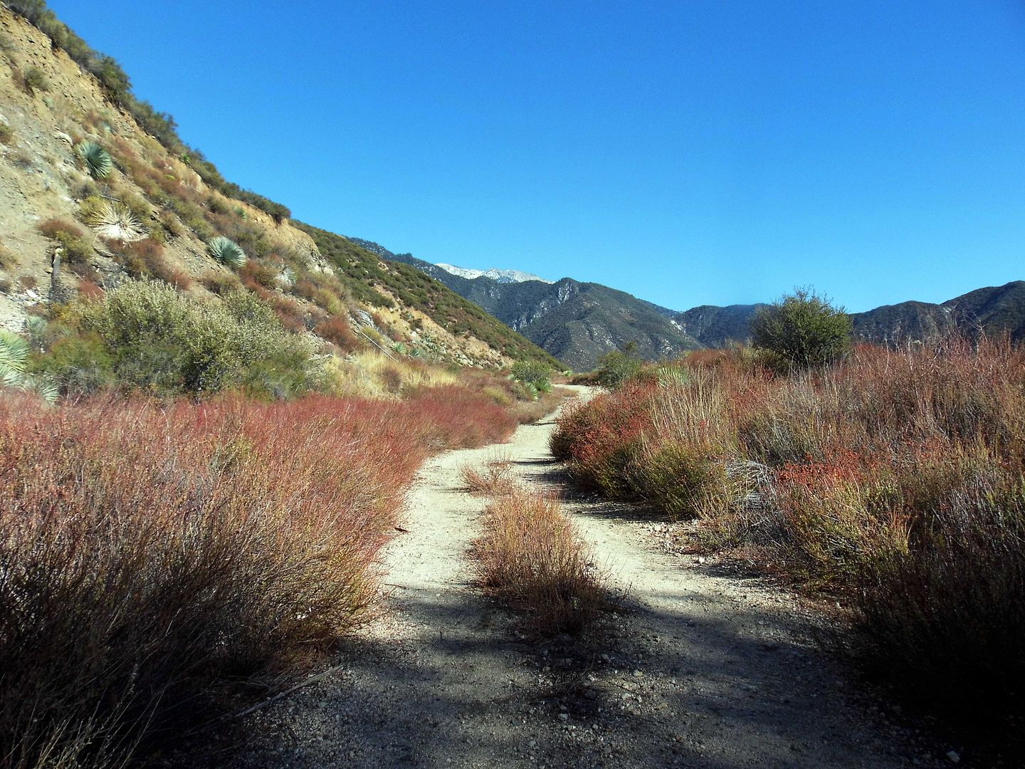
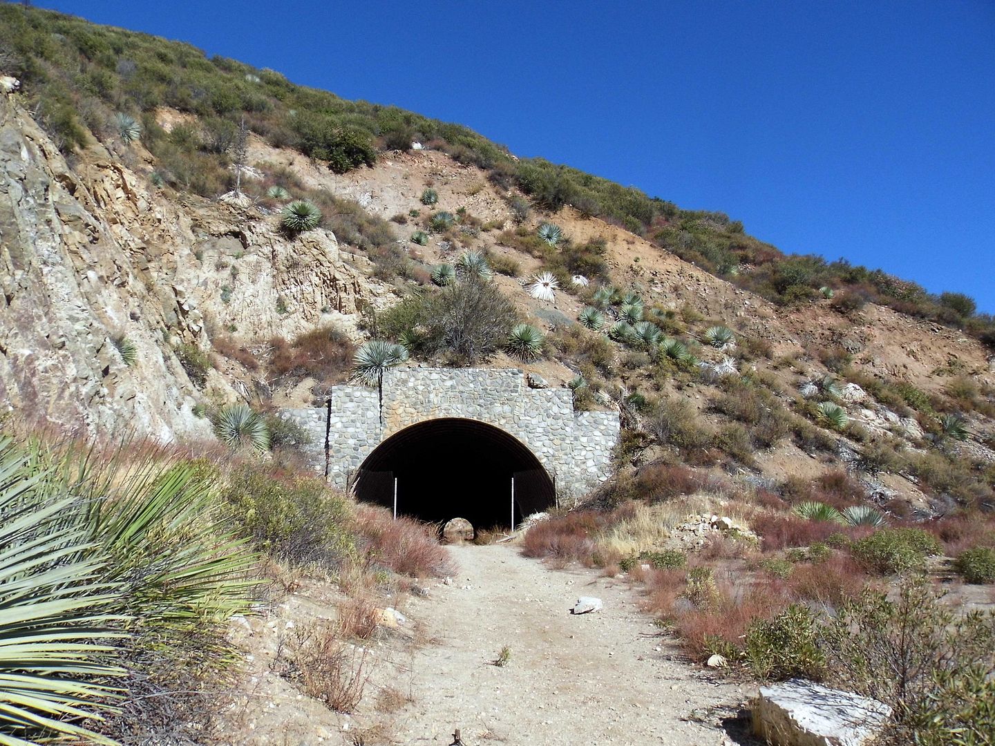
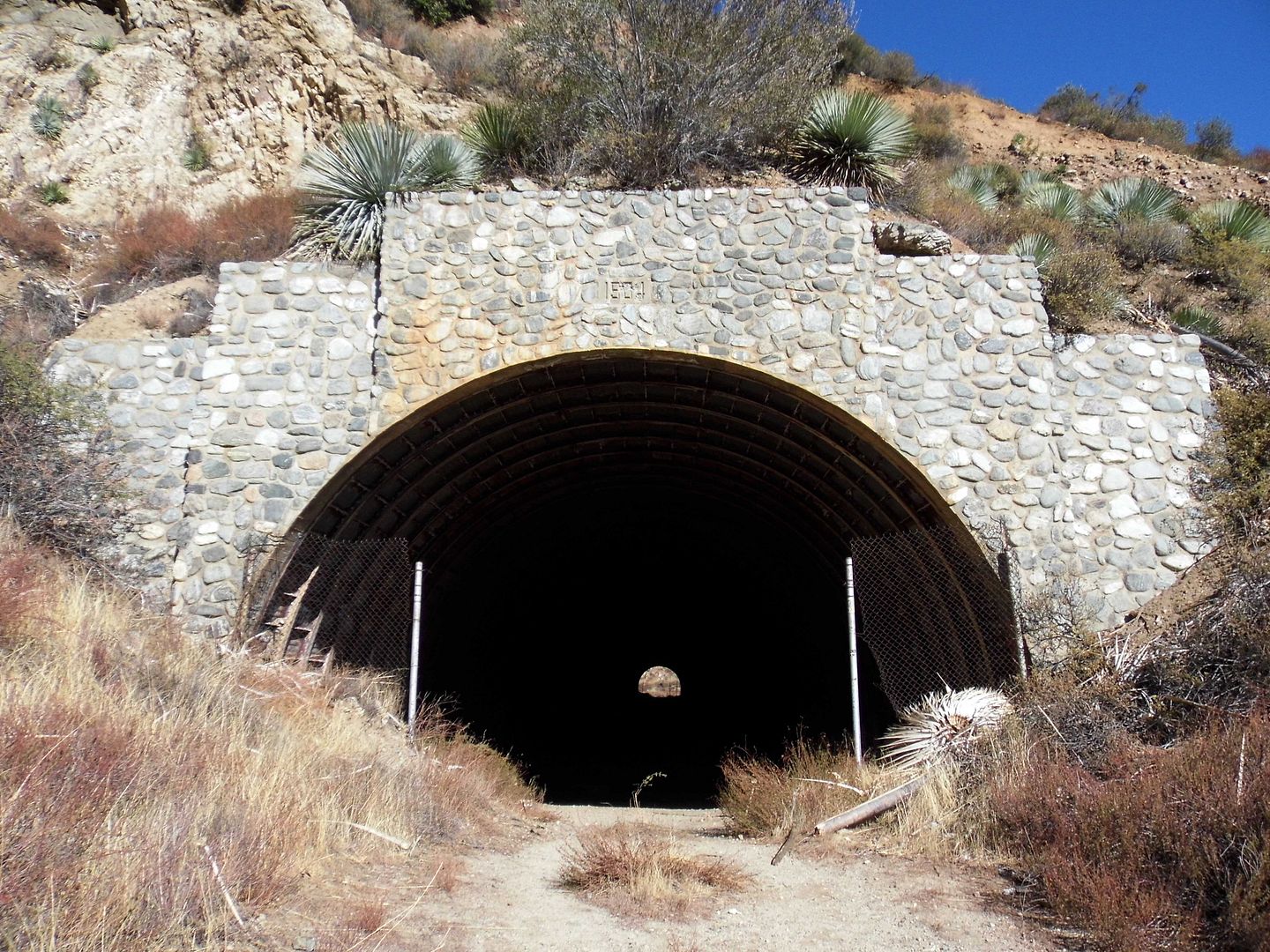
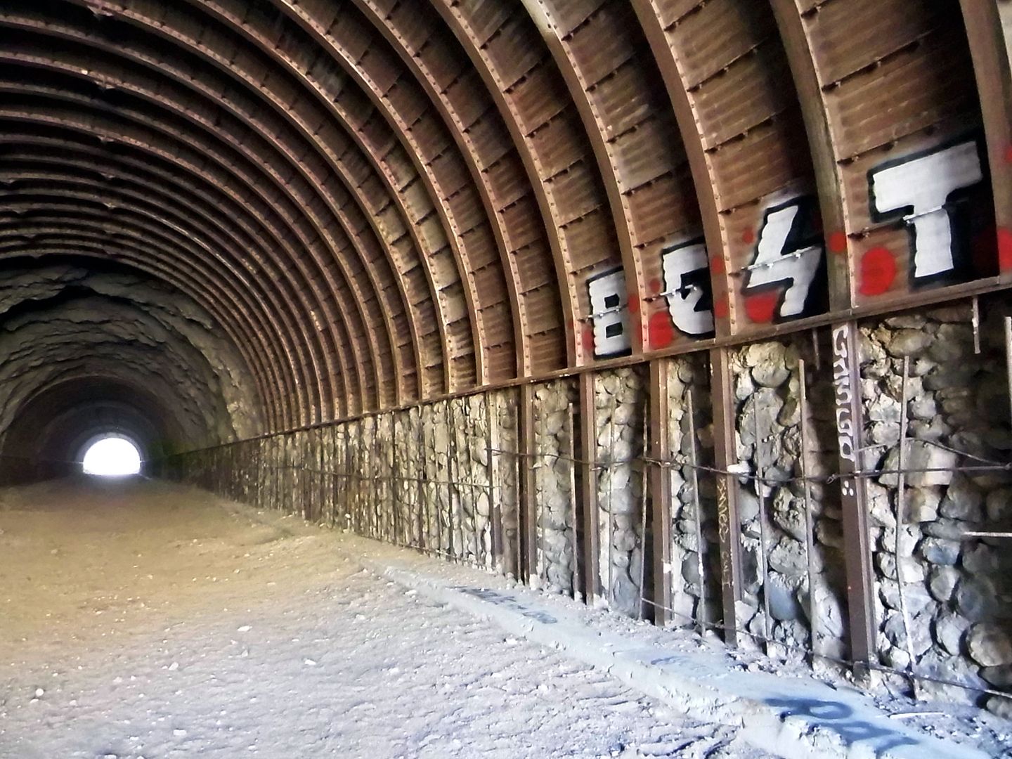
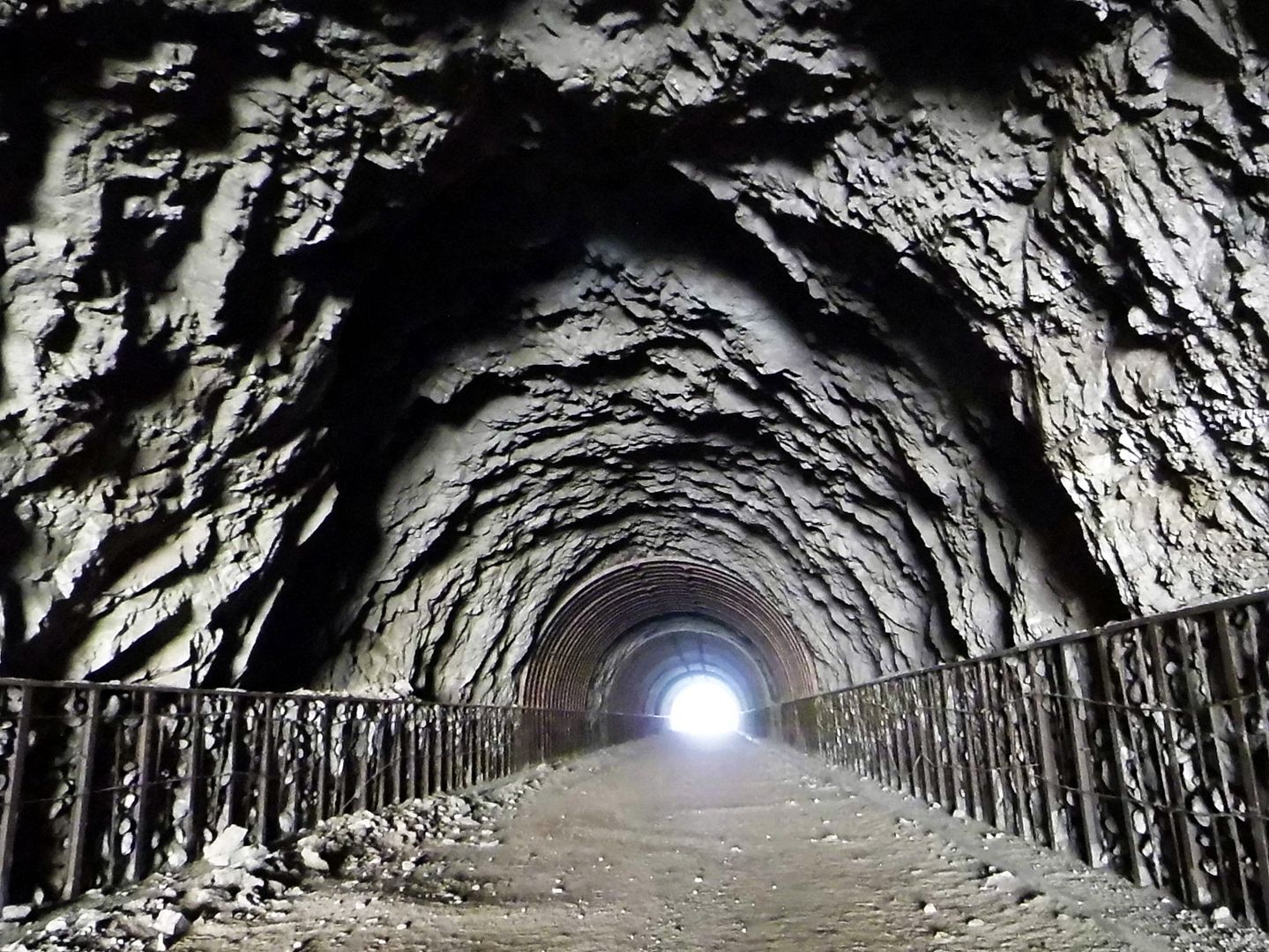
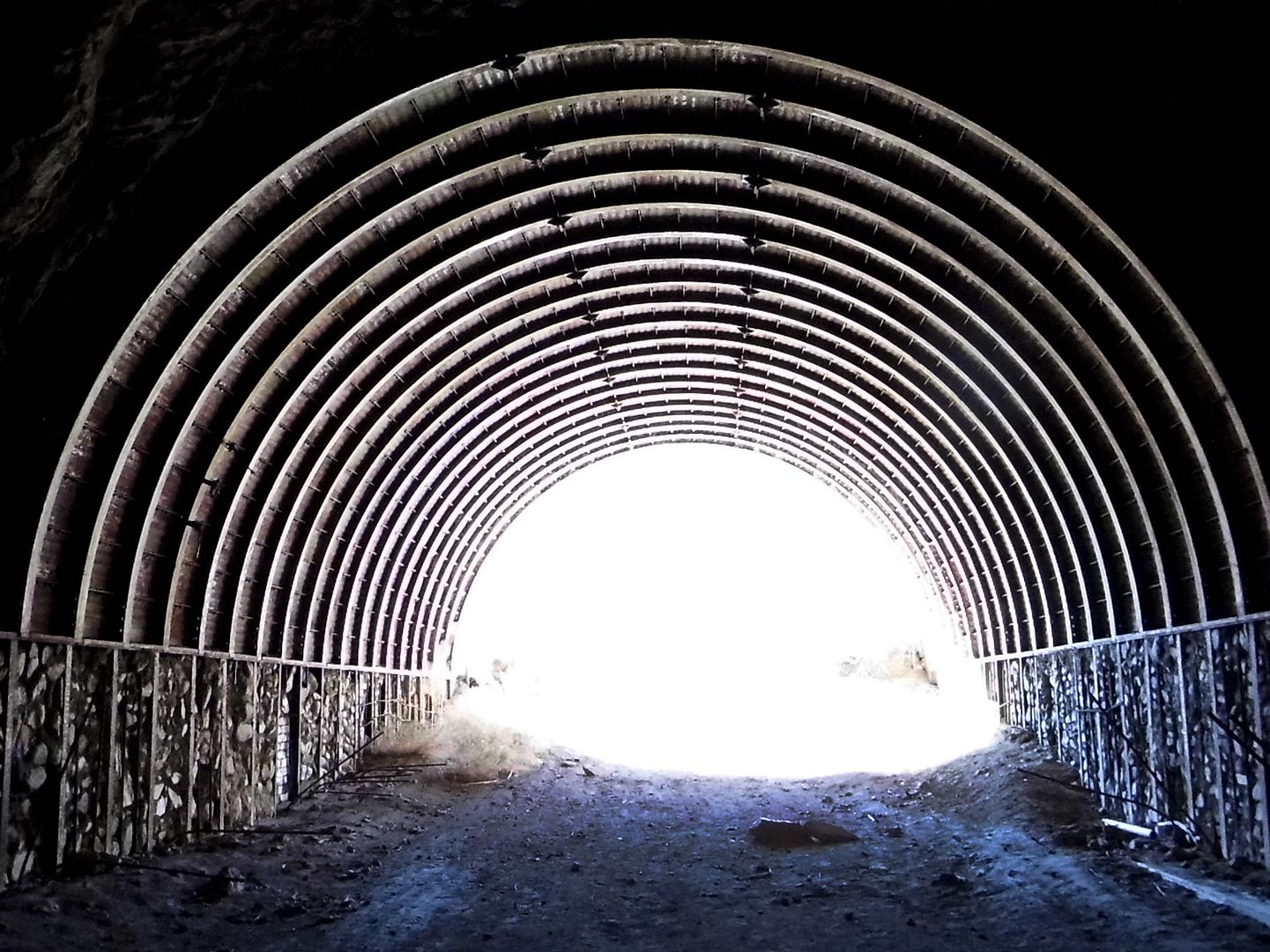
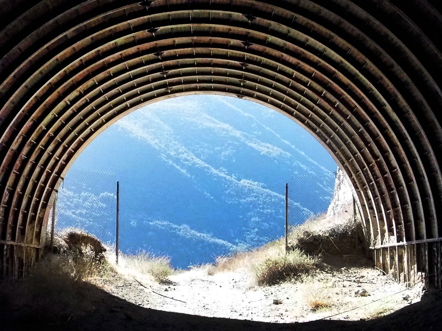
Photo Essay: The Abandoned Project to Save Angelenos from Nuclear Fallout (a.k.a. "Tunnels to Nowhere")
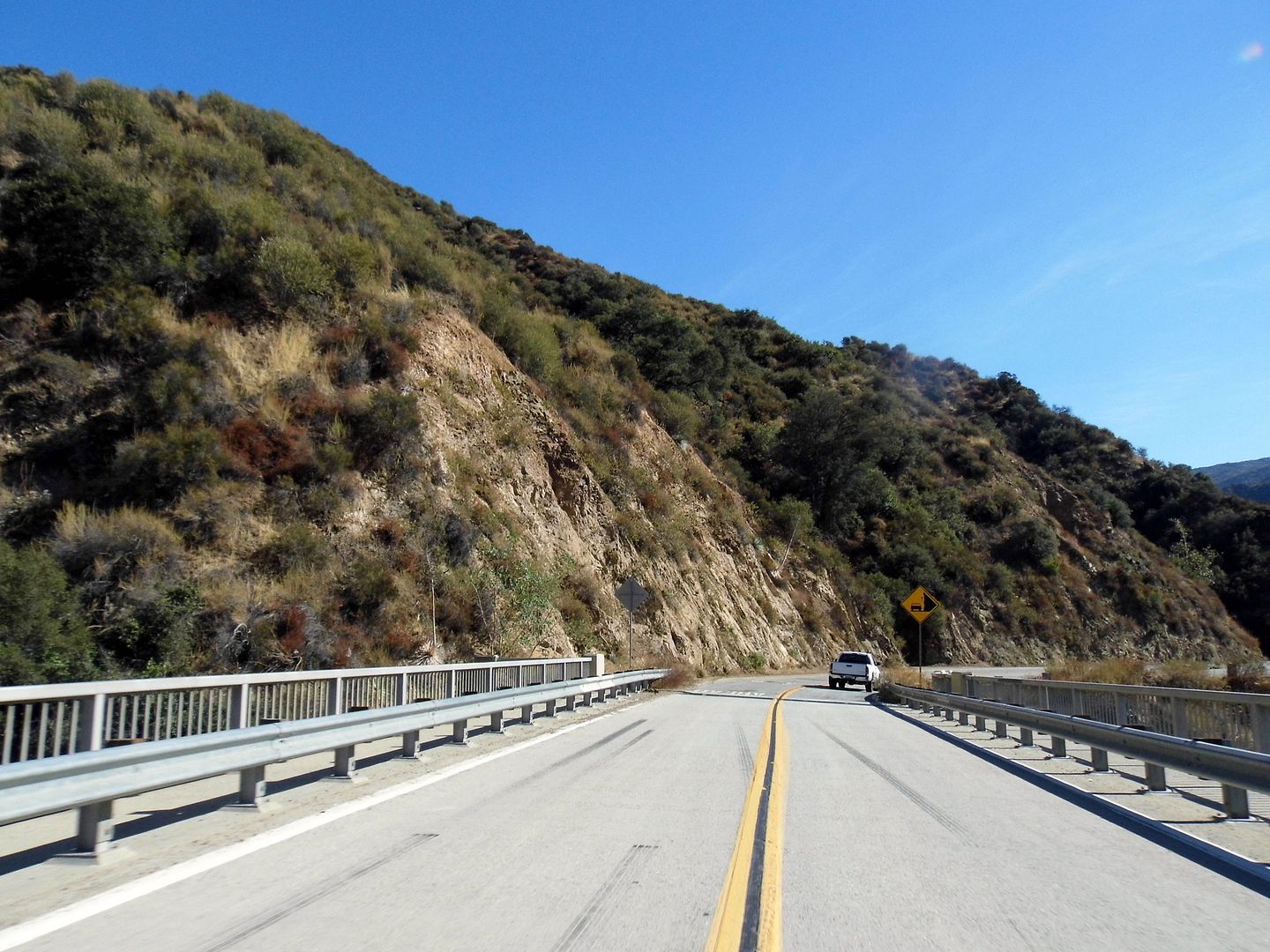
A few years ago, a friend posted about a hike he called the "Tunnels to Nowhere"—and I knew immediately that I had to go.
But there's a limited season for visiting this particular area—when it's not too hot and sun exposed, and not too wet and wintry.
And of course most of my weekends have been filled with other activities, save for the last 8 months of the pandemic.
That being said, I can't remember the last time I went on a proper hike.
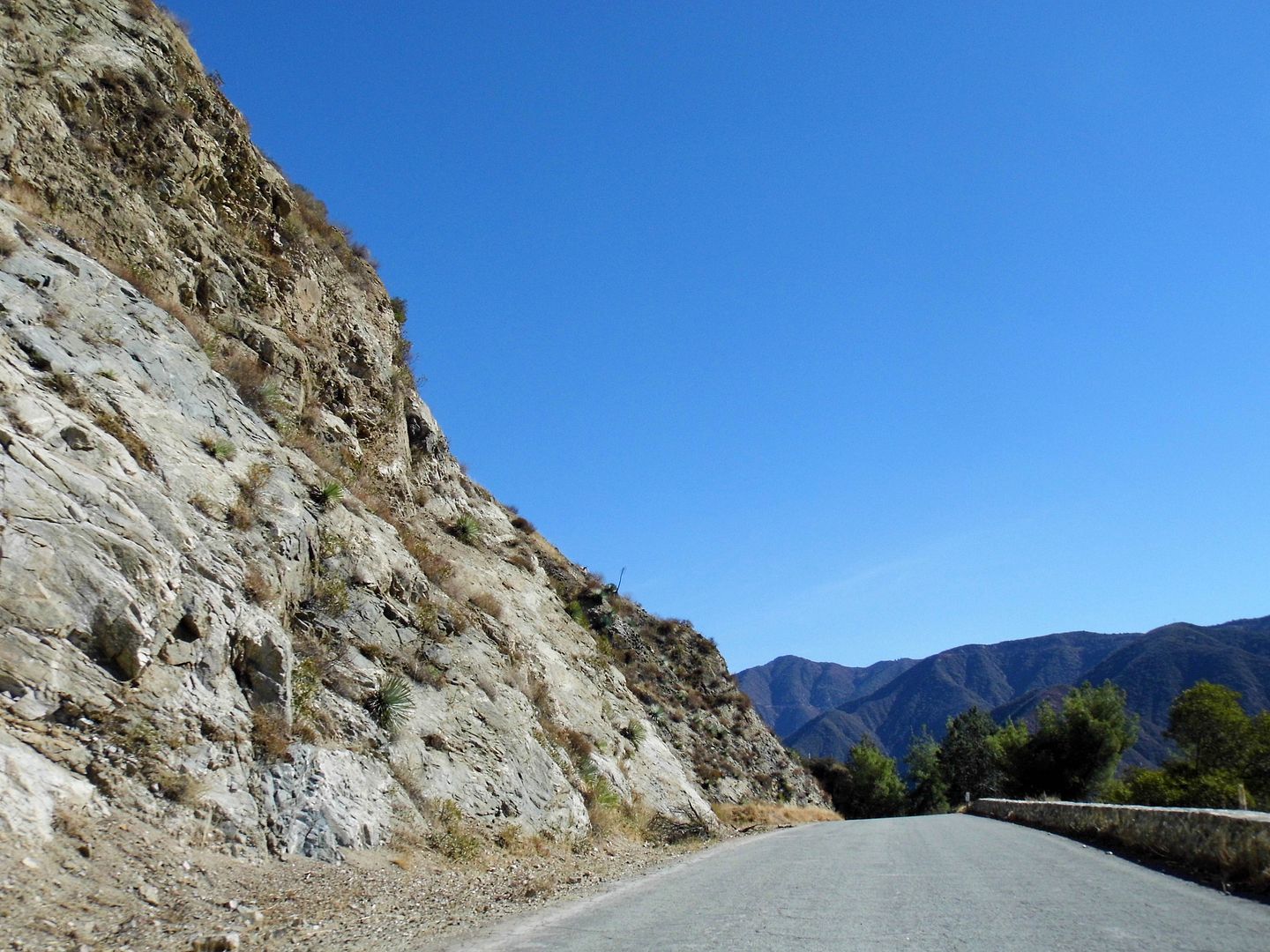
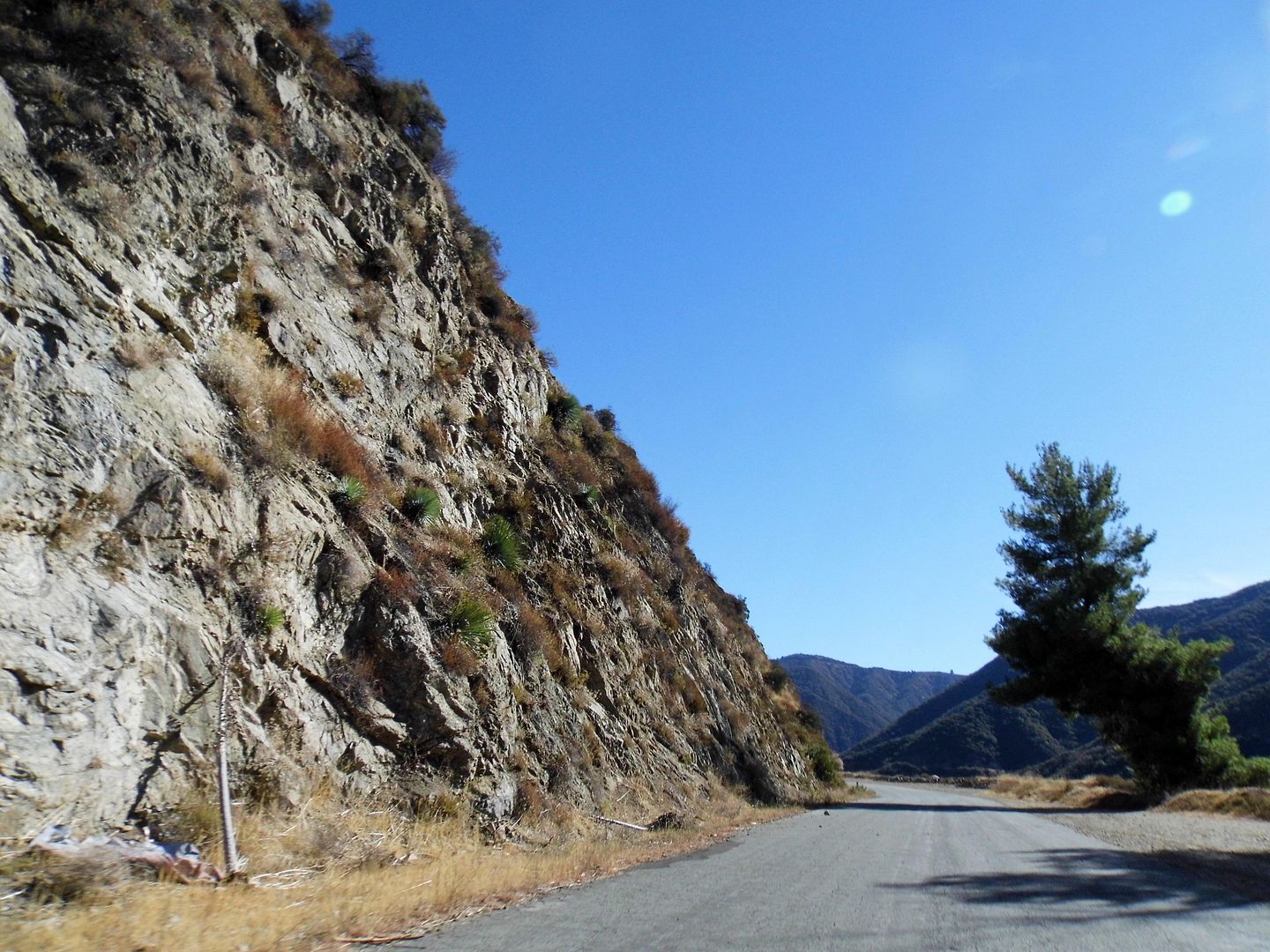
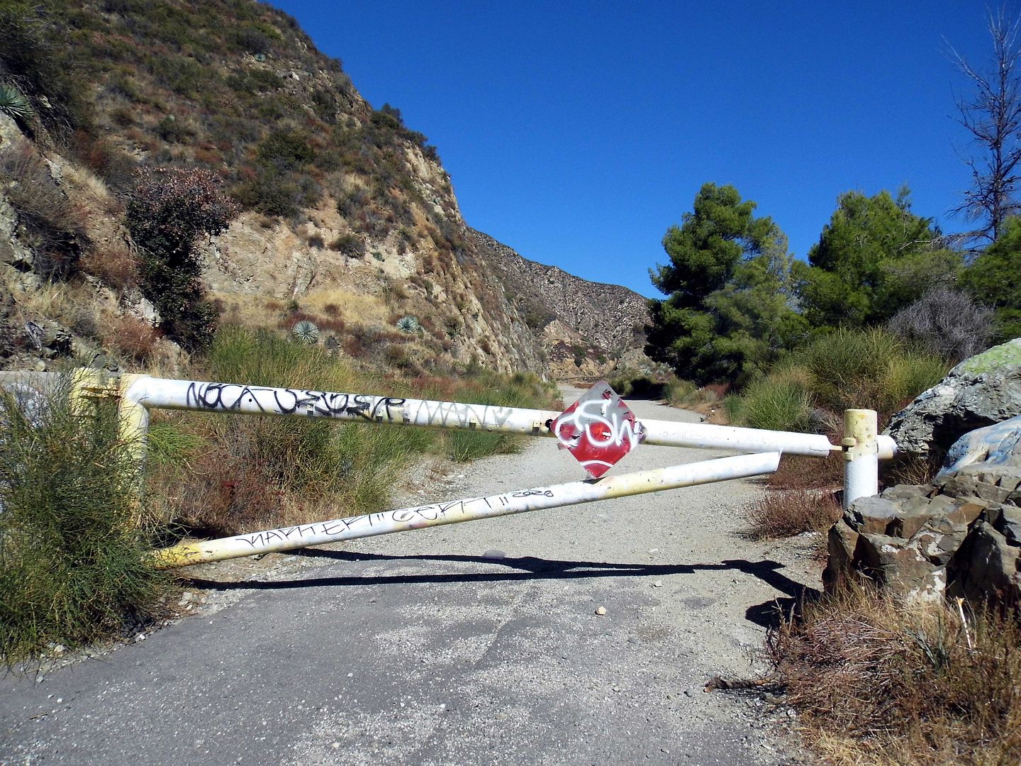
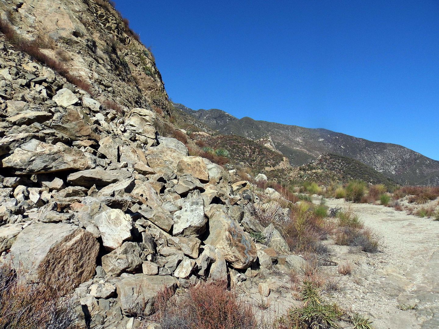
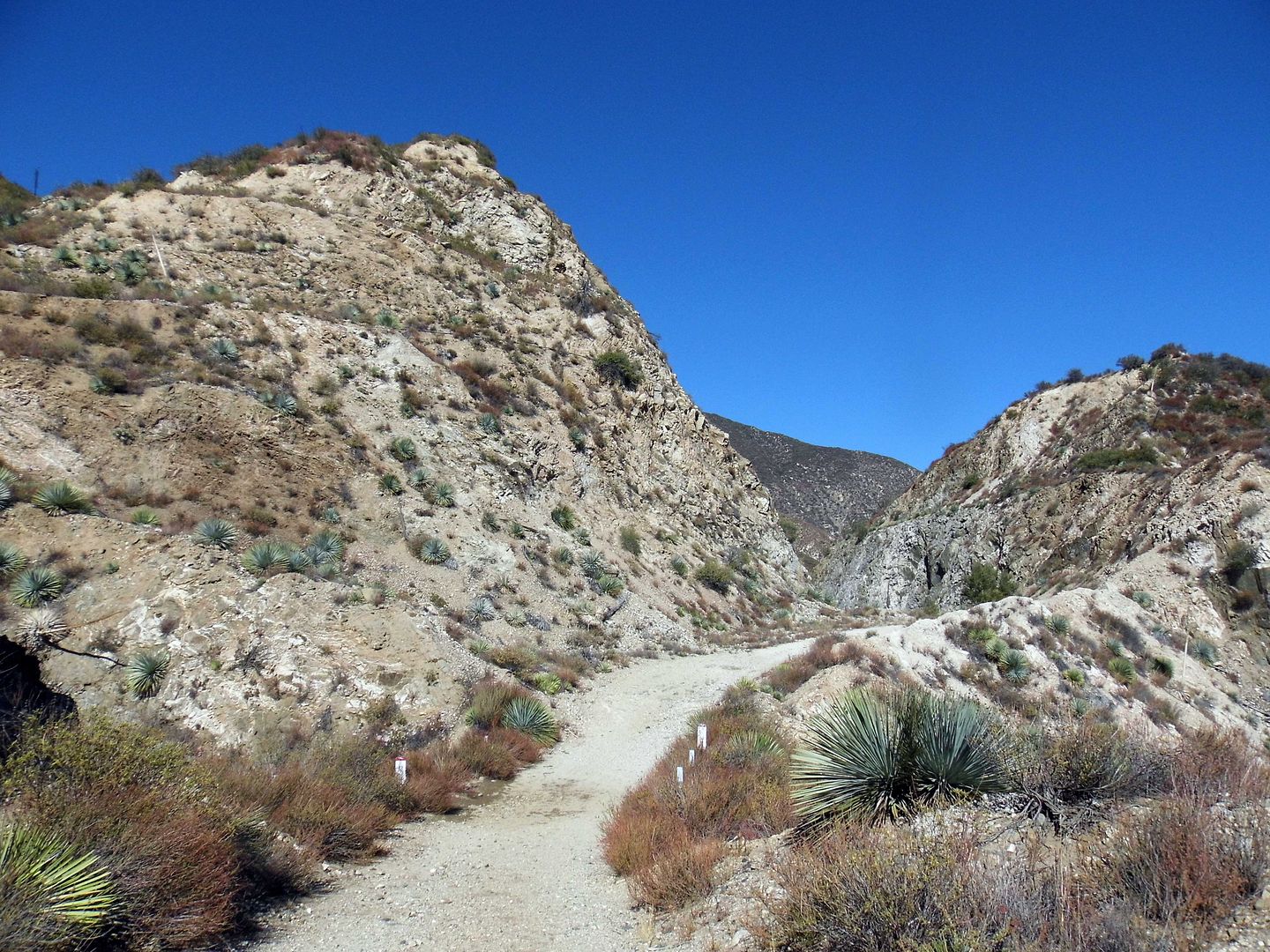
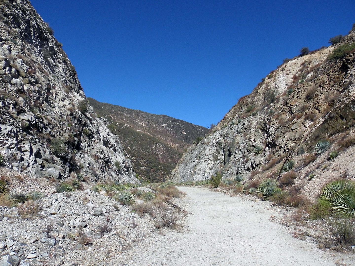
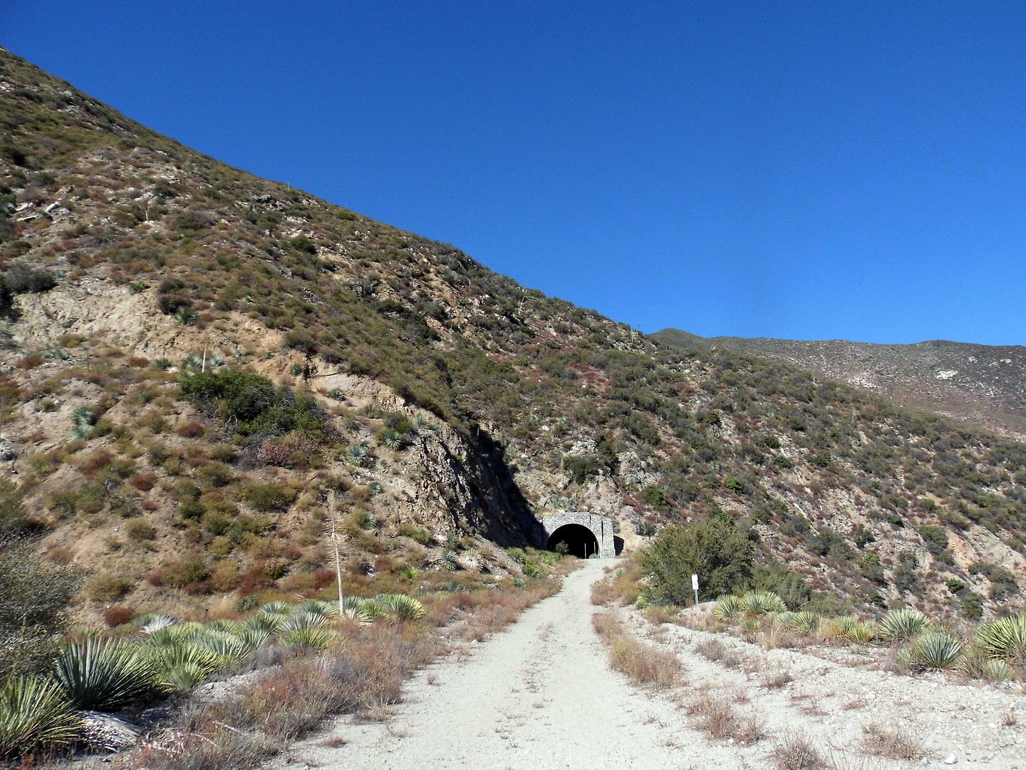
I'd gotten it in my head, though, to spend a pandemic weekend with a friend off the beaten path in search of abandoned tunnels along what some people call the "Road to Nowhere." I'd calculated it at around 5 miles roundtrip and 750 elevation change.
That would've been absolutely doable for the 2010 version of me. The 2020 version of me? Not so much.
Spoiler alert: I survived the hike. I even completed the whole thing. But not without crying.
Still, in the end, despite my tears and blisters and bloody socks and embarrassment, it was worth it.

March 15, 2020
Photo Essay: Taylor Yard's Prime Riverfront Property Becomes Parkland, One Parcel at a Time
He eventually expanded his hog farm and little grocery into a full-on feed mill and grain storage facility—right where Southern Pacific (later Union Pacific Railroad) had laid down some spur tracks.
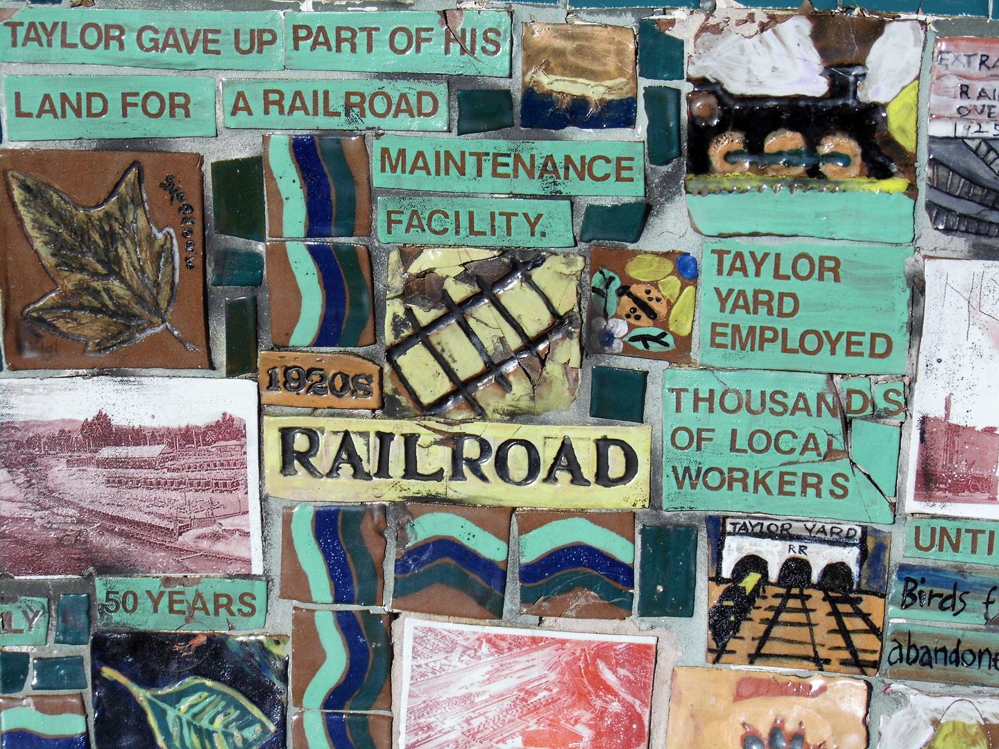
Despite becoming the largest commercial feed supplier on the West Coast at the time, Taylor Milling Corporation's site got taken over by the rail company in 1911—to be used for a railyard, freight-switching facility, storage space and maintenance and repair facility.
Southern Pacific named their new hub Taylor Yard in honor of the grain merchant and continued to build it out into the mid-1920s.
Although about 5,000 employees worked at Taylor Yard at its peak in the 1950s, industrial use of the site declined starting in the 1960s. It really took a hit from the 1973 opening of the computerized and automated West Colton switchyard outside the city of San Bernardino.
Switching operations ceased in 1985, and the remaining storage and maintenance activities ceased in 2006.
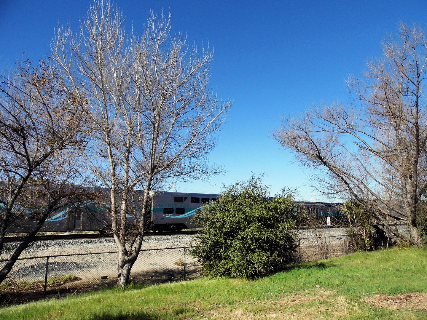
Today, alongside those same train tracks is the first parcel of the former 247-acre Taylor Yard (which once had over 2 miles of river frontage) to be subdivided into parkland—Rio de Los Angeles State Park.
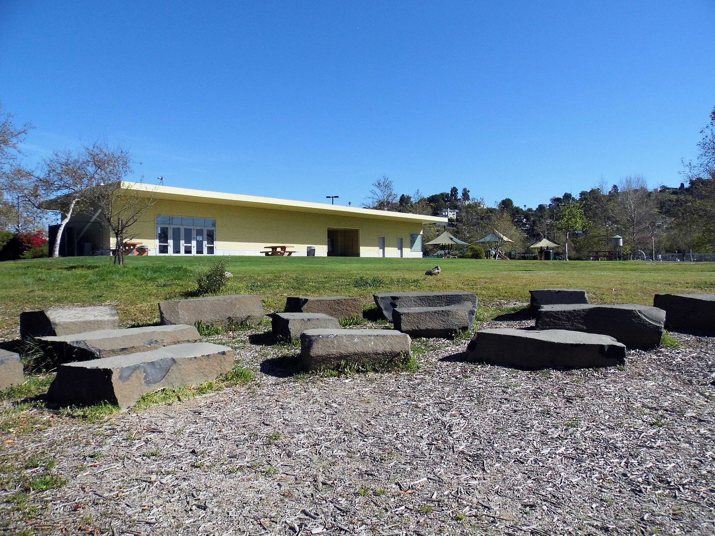
Established in 2007 and sandwiched between three densely populated communities adjacent to the river—Elysian Valley, Glassell Park, and Cypress Park, comprised of both industrial and residential areas—it reuses a couple of the old Taylor Yard buildings for park facilities.
A well maintained, unpaved loop winds through the park, past sports fields, playgrounds...
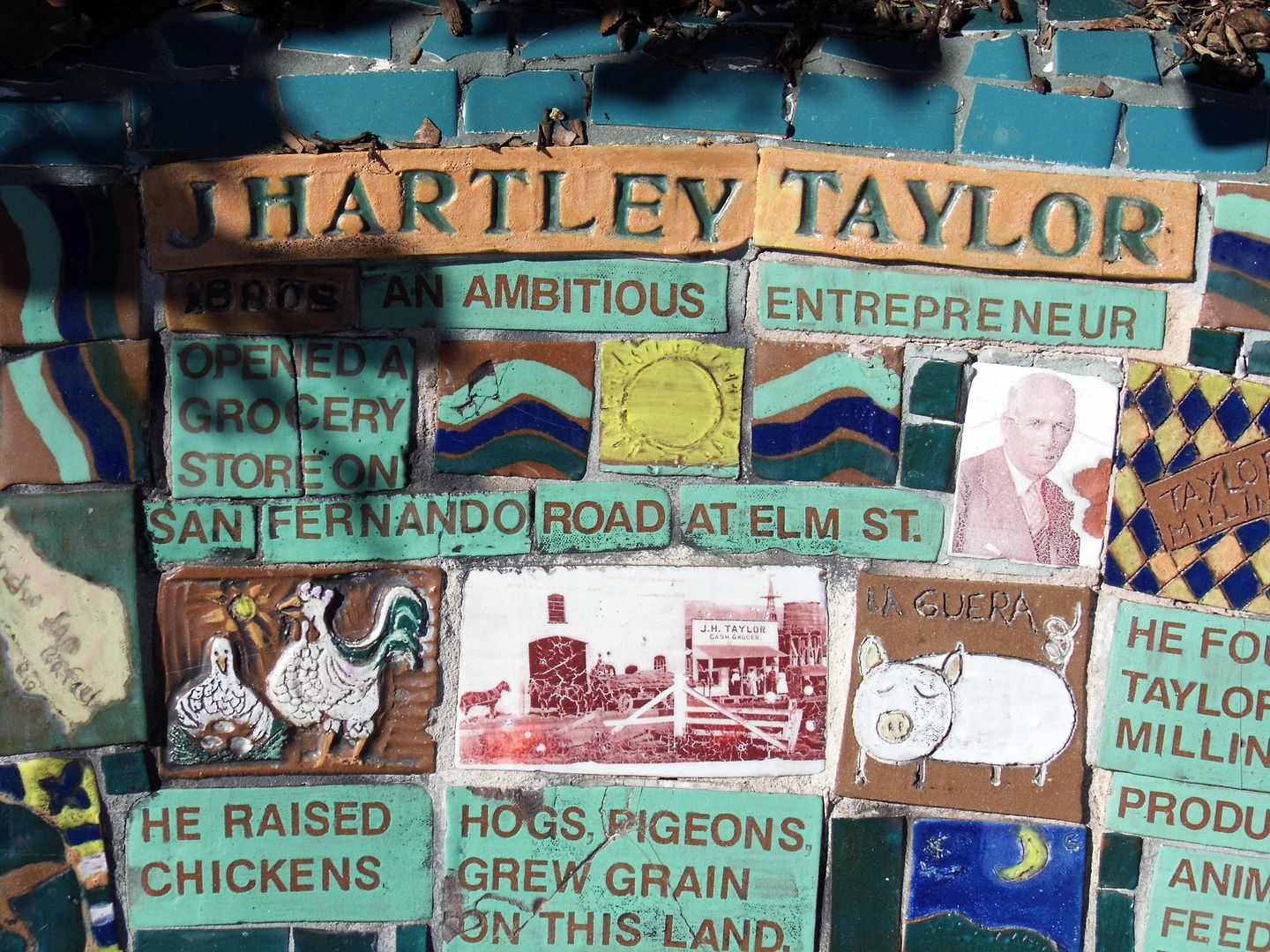
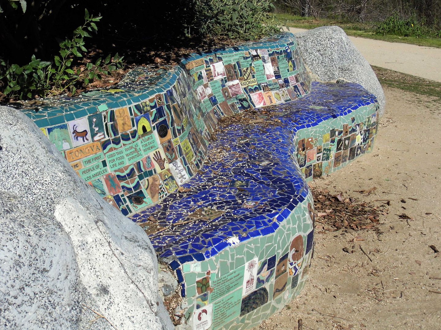
...and a community-created bench that tells the diverse history of the parkland in mosaic tile.
The hogs have been replaced by wildlife, like jackrabbits and plenty of birds...
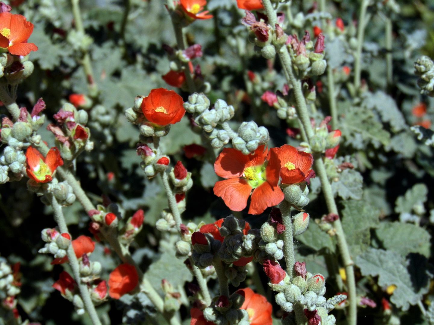
...and where grain was once stored and sold, native plants now grow.
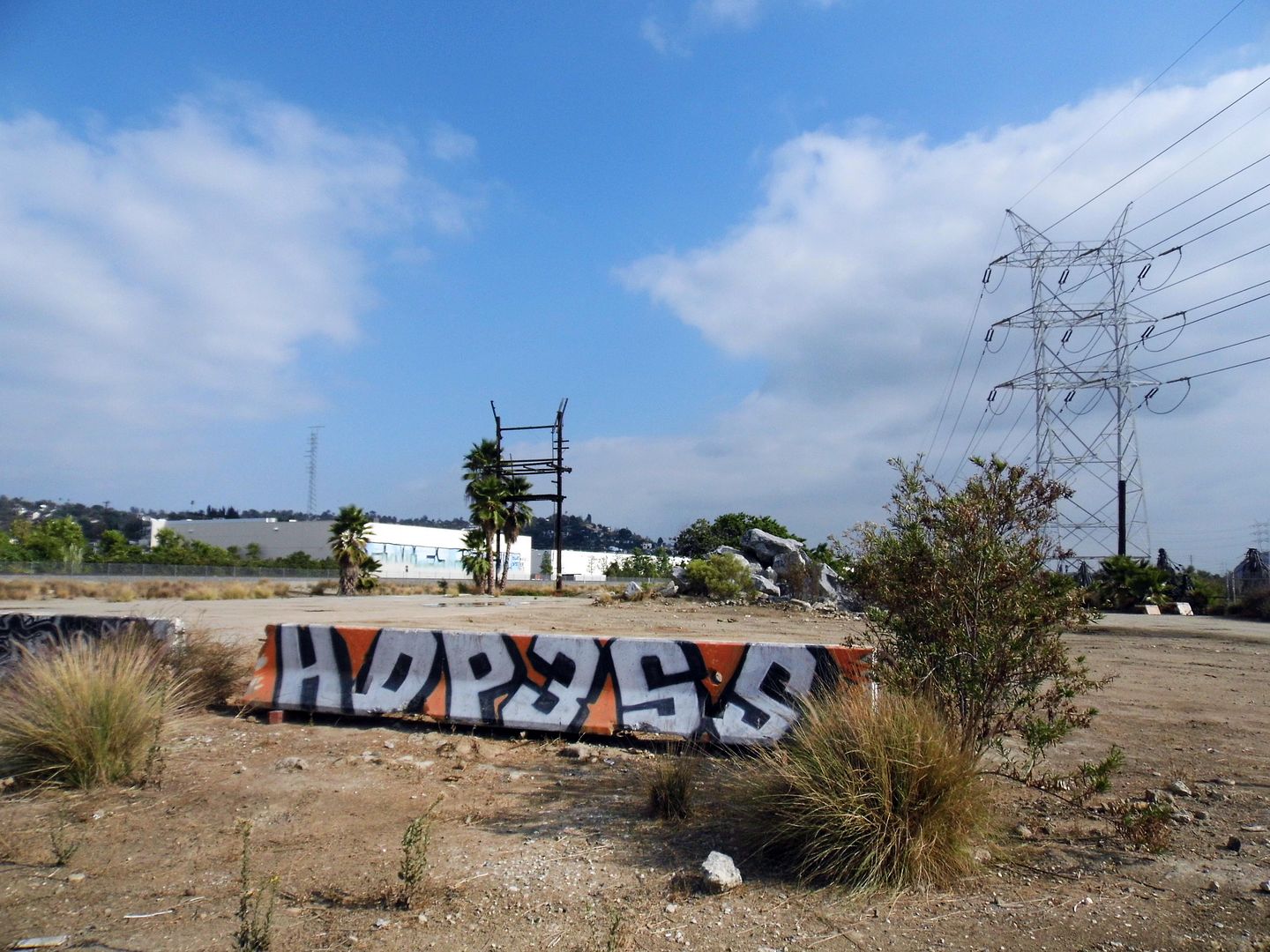
It's become part of the Los Angeles River Revitalization plan to restore 11 miles of the L.A. River between Griffith Park and Downtown Los Angeles—a plan that also includes another (future) park, an 18-acre post-industrial lot that was also subdivided out of Taylor Yard.
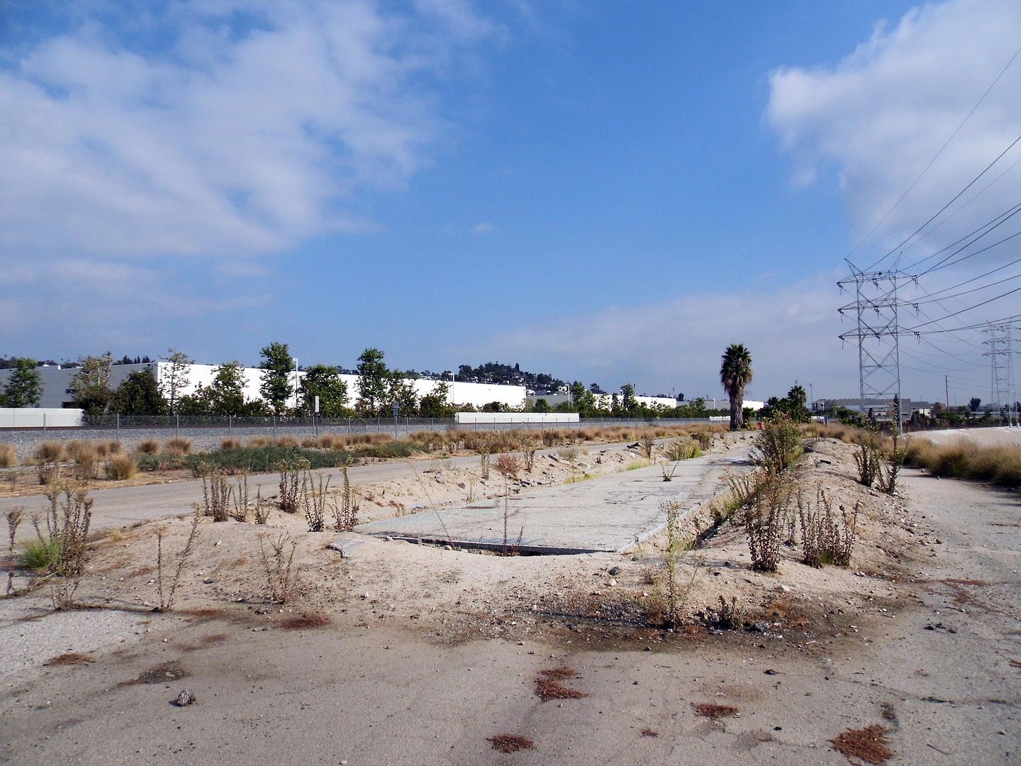
The Bowtie Project (La Parcela Pajarita) is, fitting to its name, shaped like a bowtie (that is, pinched in the middle) and is also along the east bank of the L.A. River—but unlike Rio de los Angeles, it hasn't undergone any infrastructural improvements (though although an asphalt access road leftover from the Taylor Yard days does run the 3/4-mile length of the site).
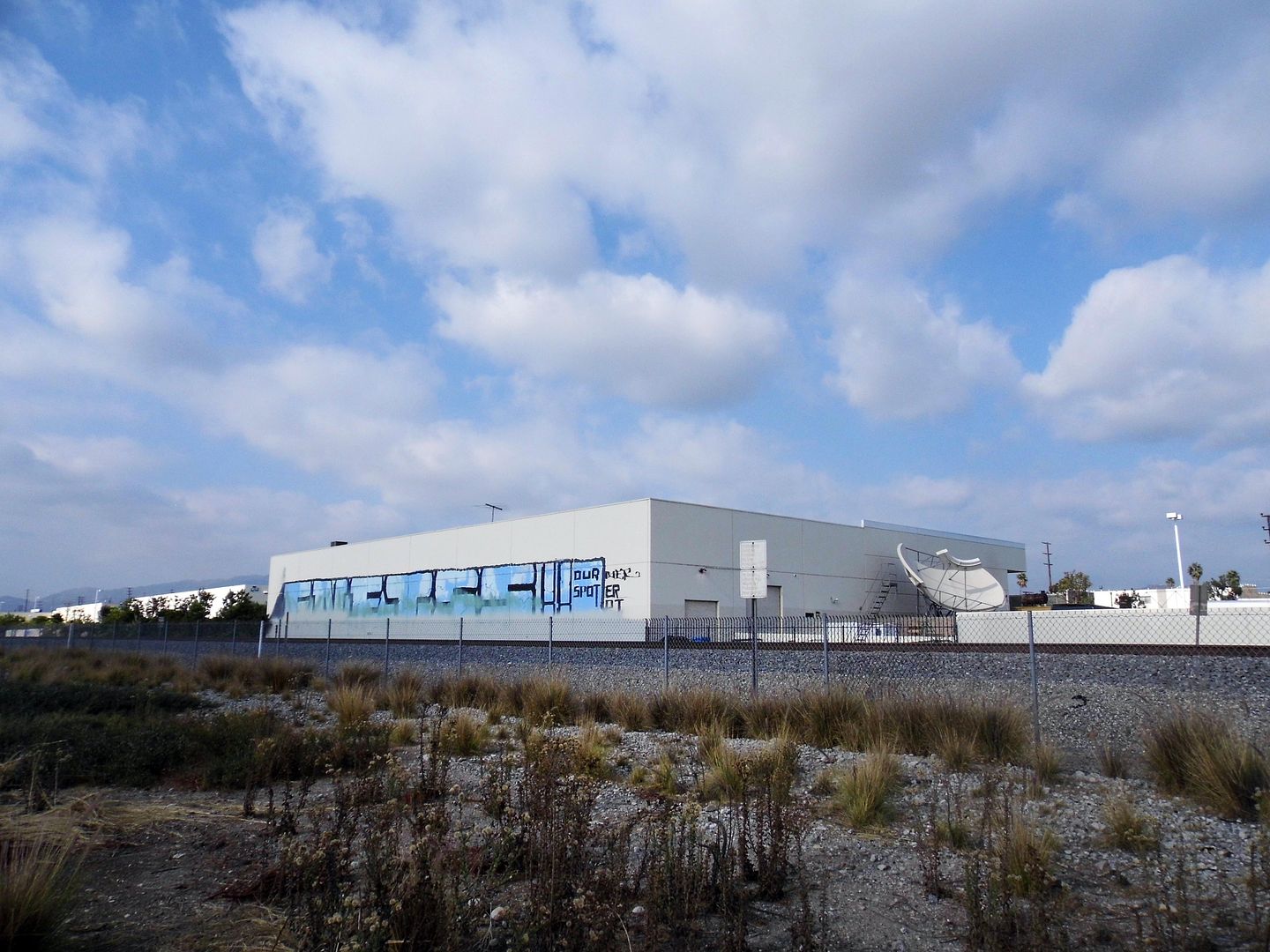
There may be no restroom, running water, lights, or electricity—but California State Parks, which owns the Bowtie, has partnered with the non-profit community arts organization Clockshop to activate artist projects, performances, and events at this little-known park.
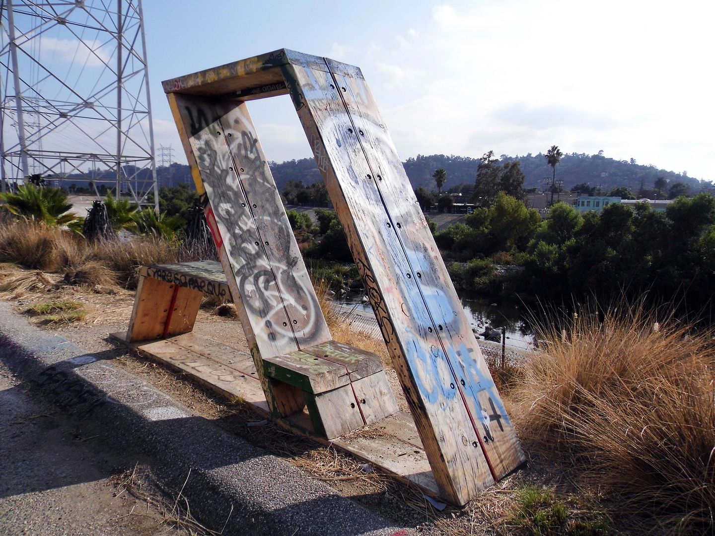
Since 2014, Clockshop has helped interpret the Bowtie Project as an urban space on the cusp of change—with sculptures being placed and events taking place right alongside the piles of rubble and rebar that remain scattered as reminders of the parcel's former use.
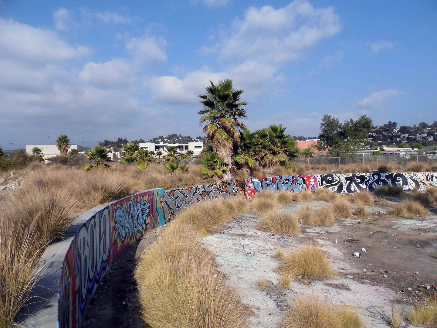
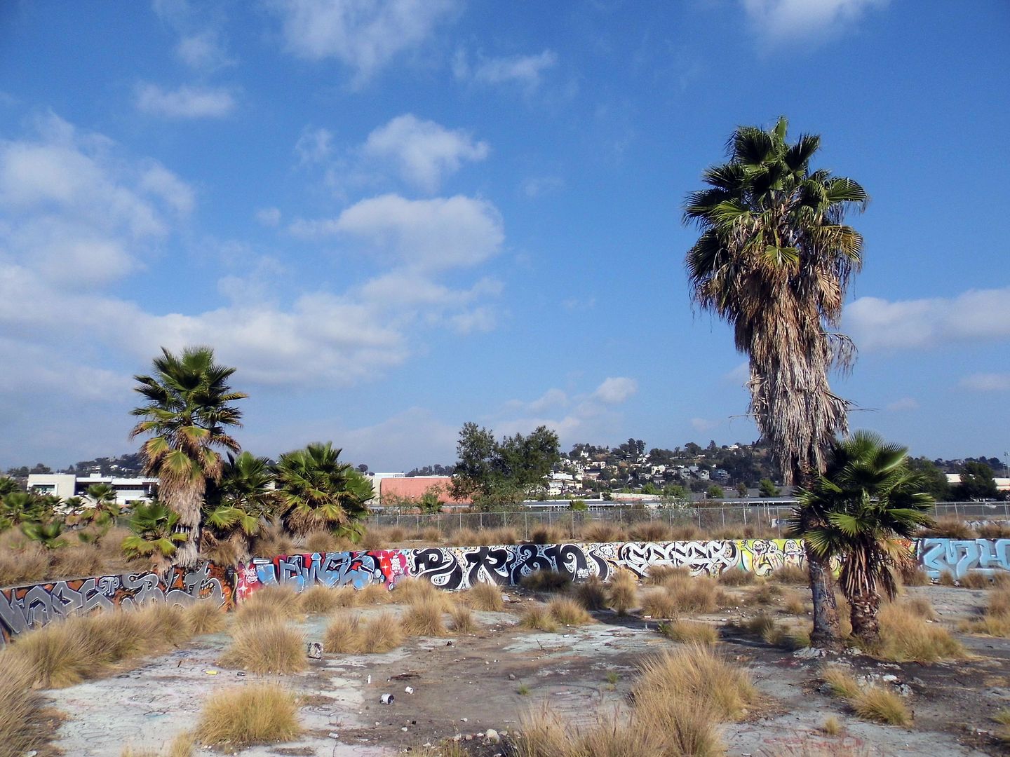
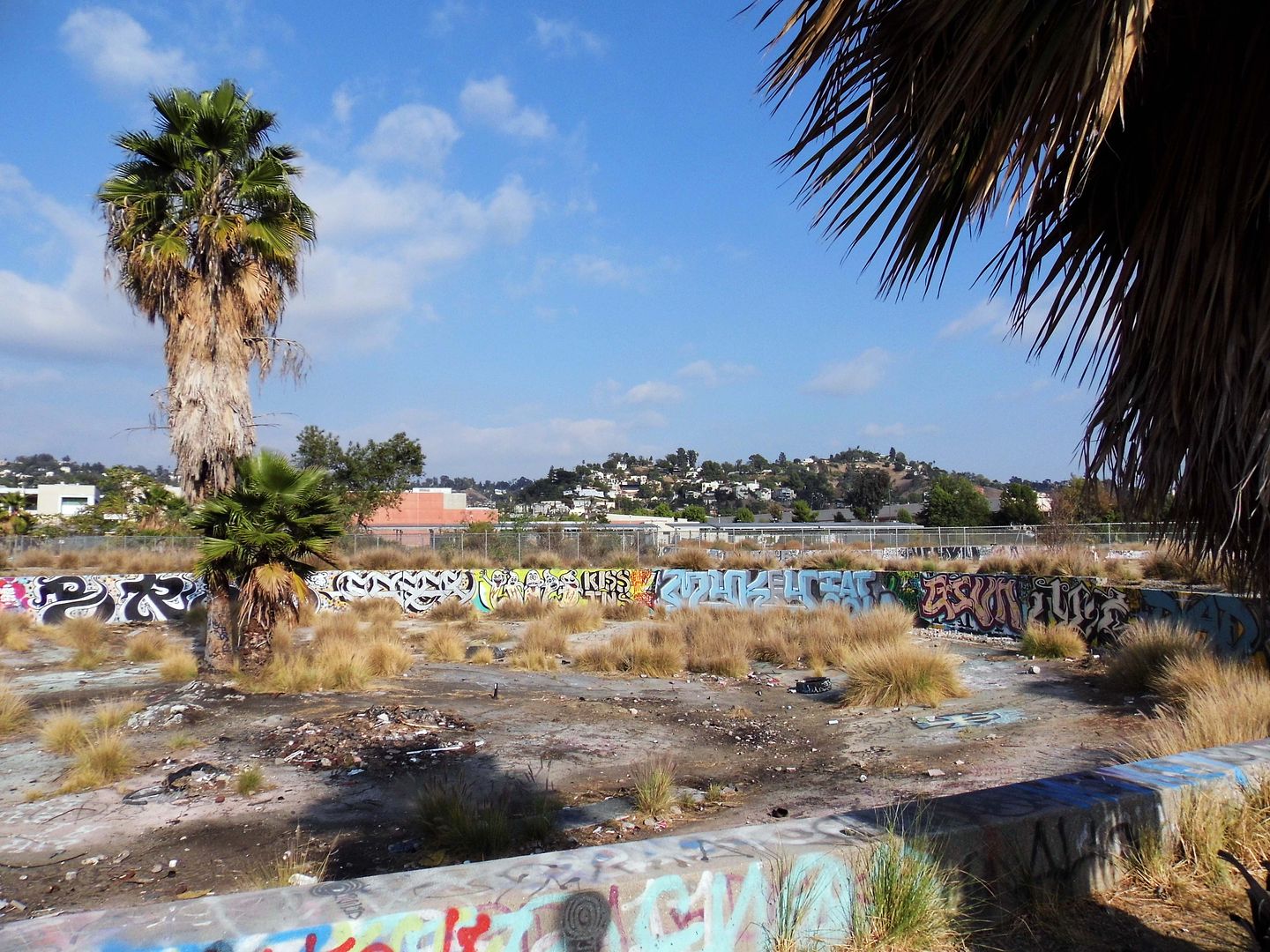
I'm glad I got to see it while I could in this state of limbo—with its LADWP power transmission towers, graffitied foundations, and other relics, still intact.
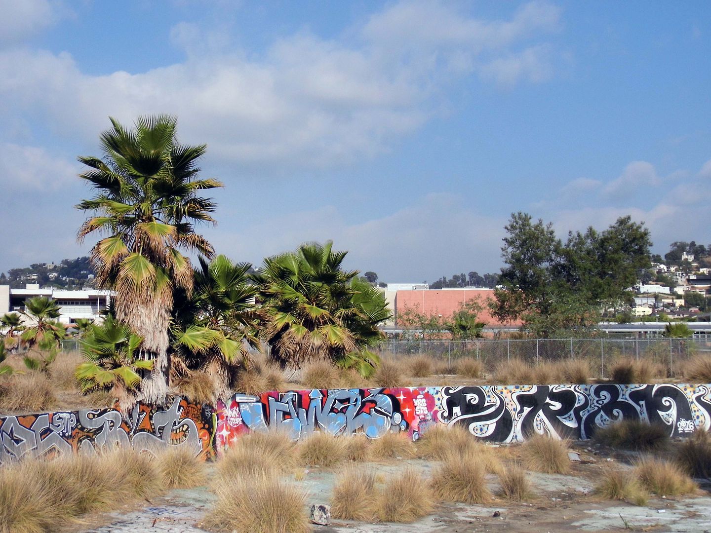
After all, they might not survive a future park overhaul.
Southern Pacific built the roundhouse/turntable, the remains of which are now located at the park's southern tip, in 1931 to service its freight trains.
Situated above the river's natural flood plain, and somewhat protected by Southern Pacific's levee at the river bank, the Taylor Yard operations were spared from the devastation of the 1938 flooding that wiped out a lot of other businesses and residences erected at riverside.
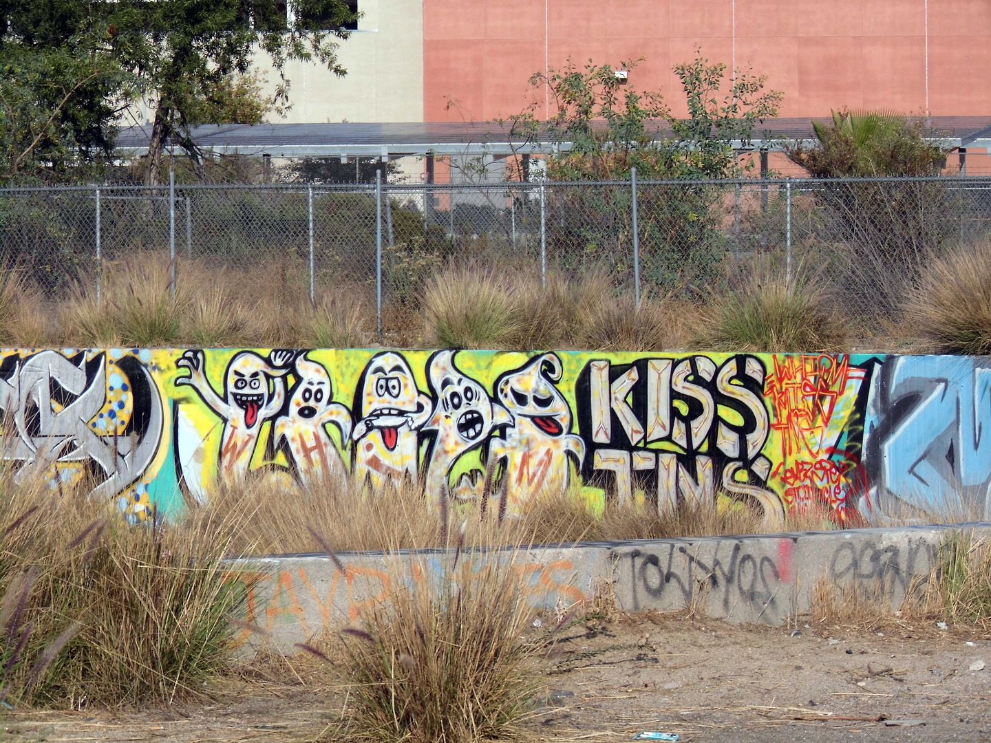
Now, besides the tagged concrete, invasive fountain grass intermingles with native California buckwheat, mulefat, and yerba santa. In the river channel, invasive giant reeds are trying to crowd out the native willows.
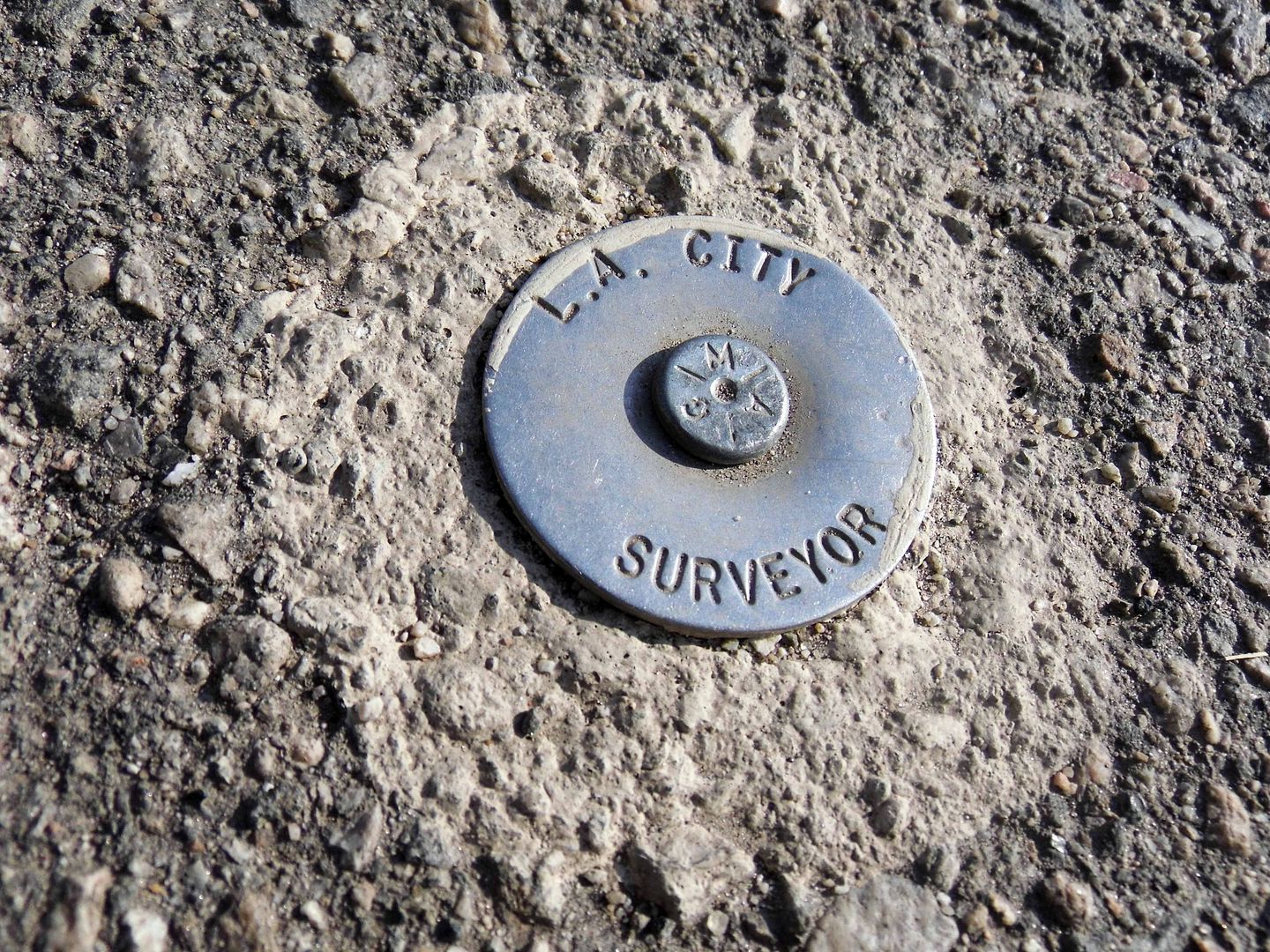
There may be some invisible traces of Taylor Yard at the Bowtie, too—maybe arsenic, lead, or anything else that might vaporize into visitors' lungs (e.g. tetrachloroethene/PCE and trichloroethene/TCE, both used at the roundhouse). If necessary, future soil remediation will be funded by the sewer lines that run way below the surface of the park.
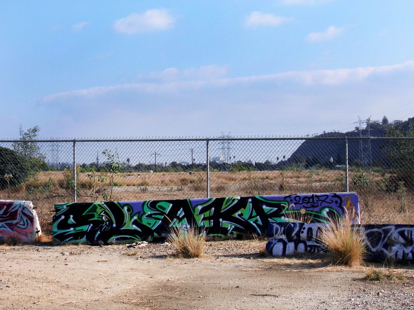
The Bowtie Project—formerly known as the Bowtie Parcel—is one half of the Taylor Yard's subdivided Parcel G, designated Parcel G-1. The other half, G-2, lies inaccessible on the other side of some concrete barriers and a chainlink fence.
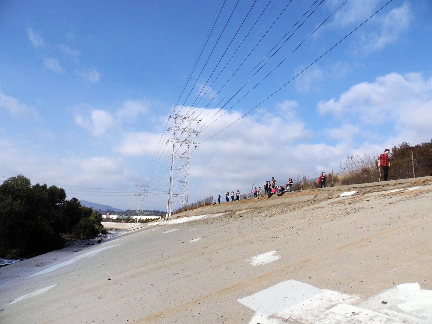
You can get a little close to the G-2 parcel by climbing down the steep concrete walls of the channelized river. G-2 is the last undeveloped remnant of Taylor Yard, purchased by the City of L.A. in early 2017 for $60 million.
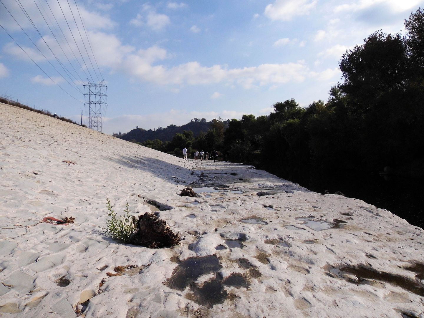
It's slated to open as the 42-acre Taylor Yard River Park in the year 2028—envisioned to be the "crown jewel" of the revitalized river. A pedestrian bridge connecting Taylor Yard with the west bank has been in the works for a long time, so maybe that'll come around the same time?
Honestly, I can't complain. A lot has changed with the Los Angeles River since I moved here 9 years ago. A lot more people know we actually have a river.
Now we're just working more on getting access to it.
For more history on Taylor Yard, view the Historic Resources Survey Report here [opens in new window].
Related Posts:
Photo Essay: An Abandoned Streetcar Route Now Connects Both Sides of the LA River
September 09, 2019
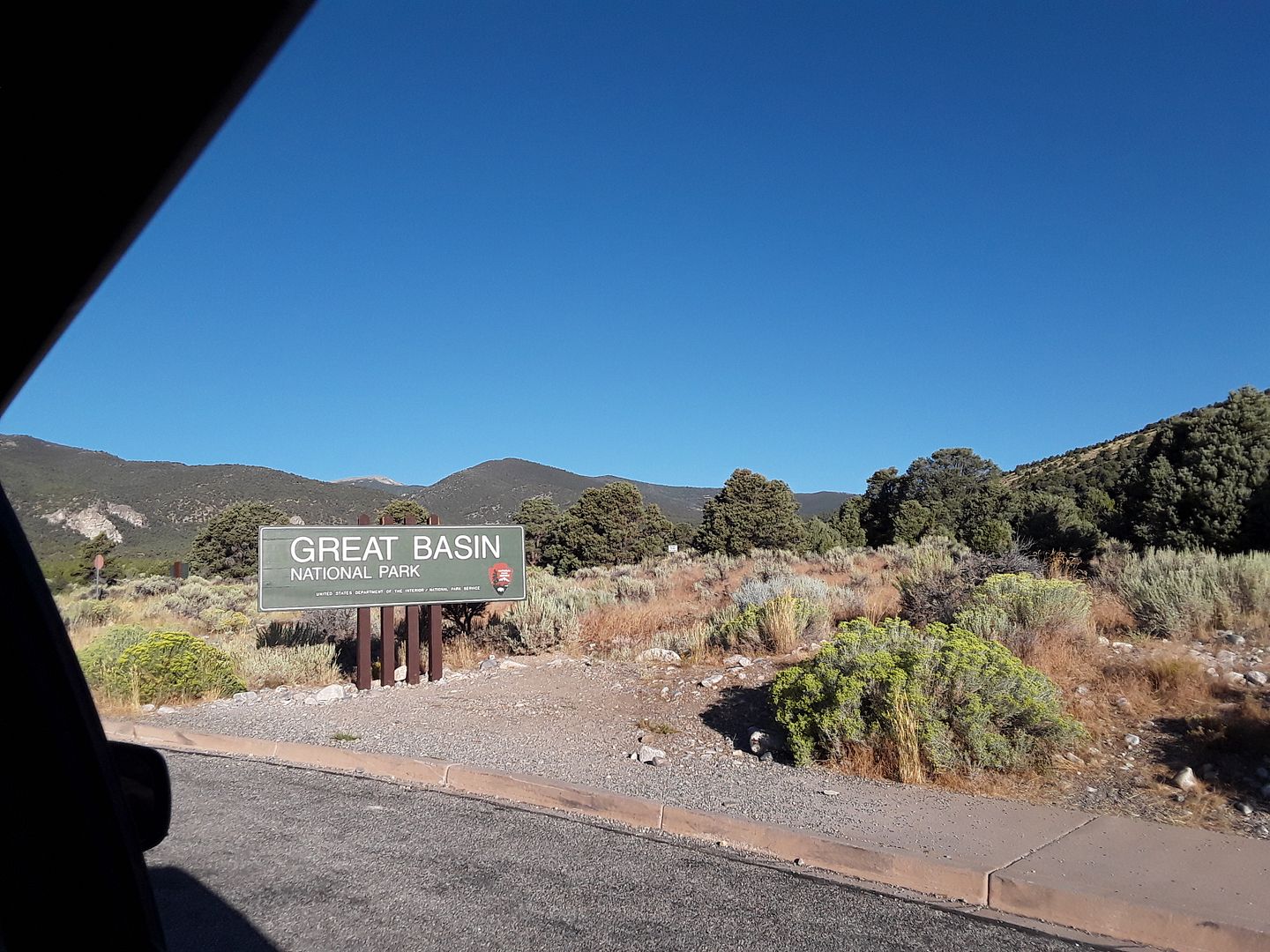
Up Above and Down Below At Great Basin National Park, No Longer Underwater
It just took me eight years to get there.

I'd planned on making the drive from Ely, Nevada last year, when I was on my traincation...

...but the Universe had other plans for me...

...and saddled me with some kind of viral infection that knocked me down for the count (and that I barely survived long enough to make the drive to Vegas for my flight back home).

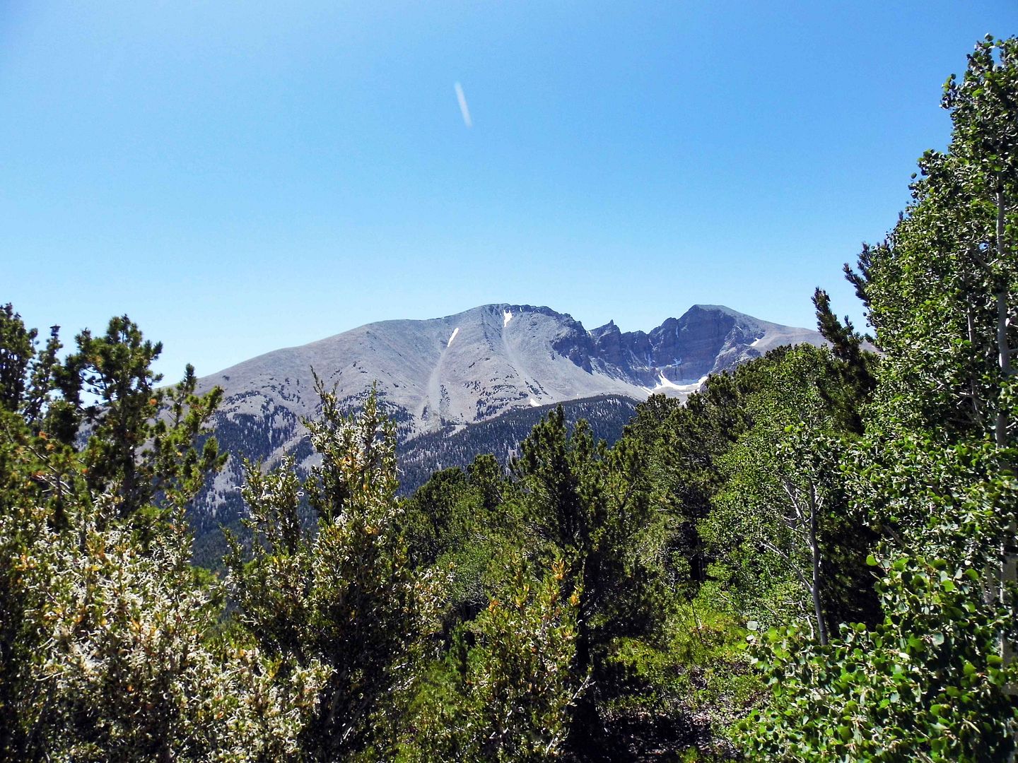
This time, I was with friends who were doing the driving—and it's a good thing, because as we drove up to the Wheeler Peak vista point and parked at the Summit Trailhead for an easy hike to Stella Lake, this time altitude sickness set in.

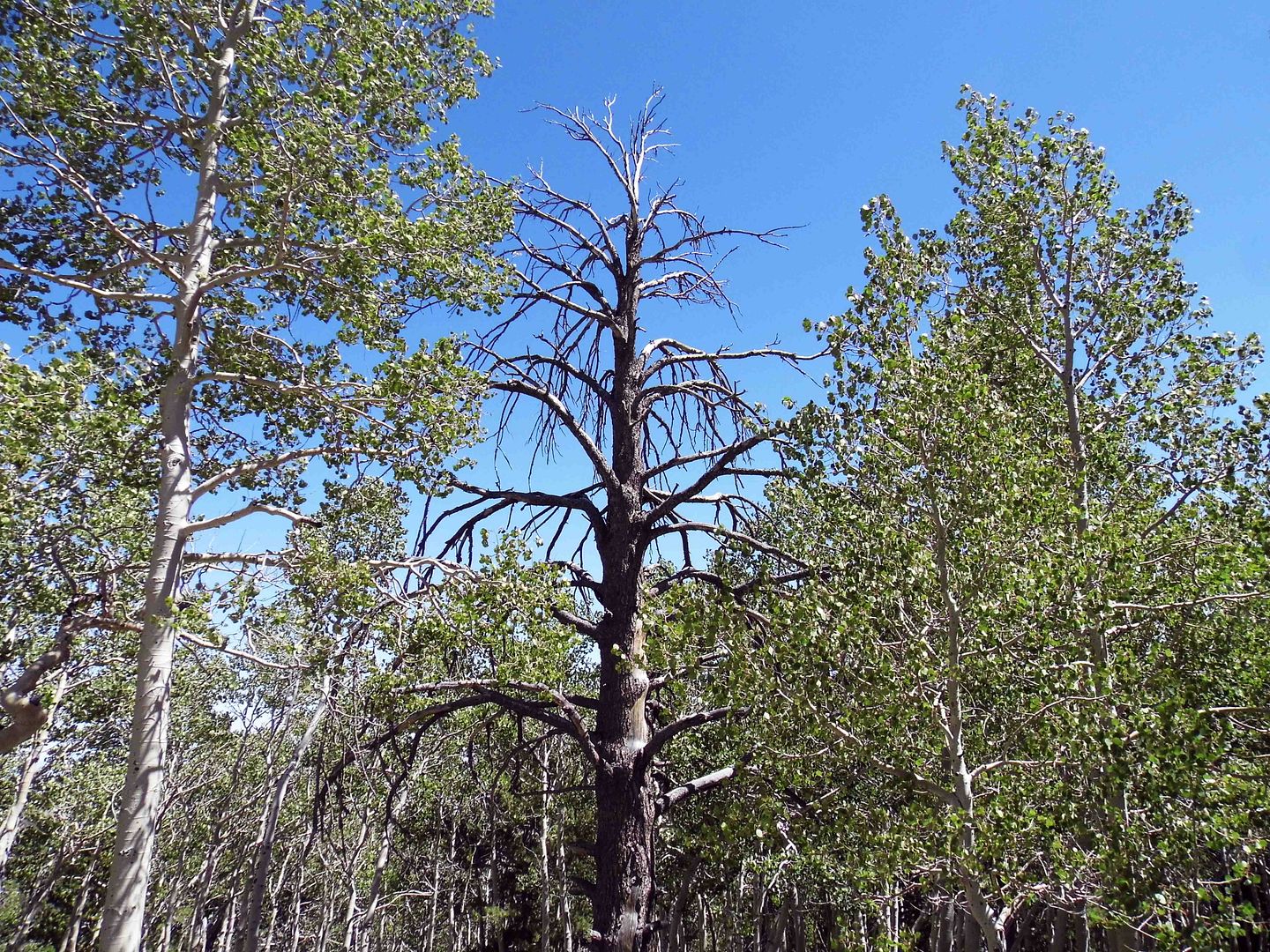
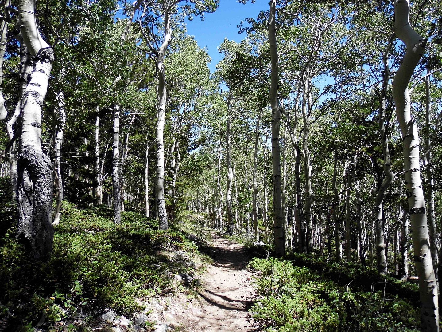
I tried taking my time through the grove of Quaking Aspen trees (Populus tremuloides)—but at nearly 10,000 feet of elevation, it was too much for me.

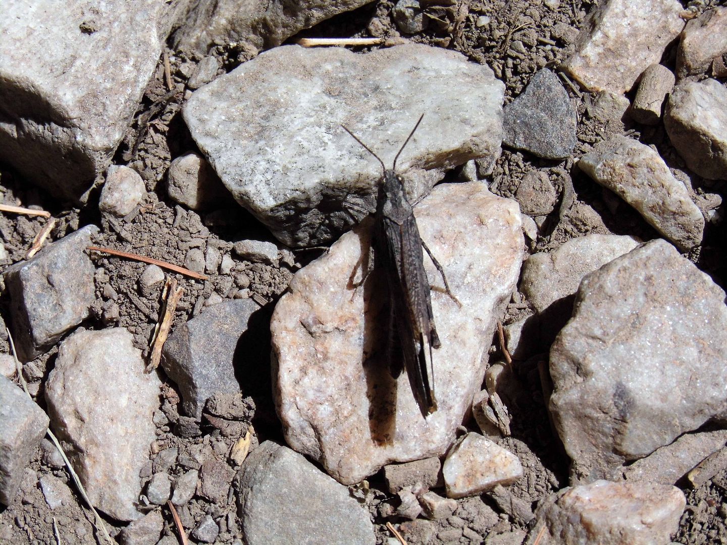
My arms felt light lead as I held up my camera to try to catch a speckle-winged rangeland grasshopper (Arphia conspersa) showing the green underside of its wings.

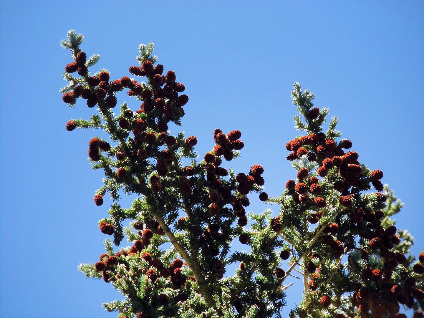
There are bristlecone pines up there—and I spotted a few telltale bristled cones on the ground—but we were too far from any official groves to reach and explore them.

I quickly succumbed to the altitude sickness anyway, lying down in the backseat of our van and gasping for air.

Sometimes I am too delicate for the adventures I'd like to do. But a fellow hiker on the trail said my reaction was common among those who live at sea level.

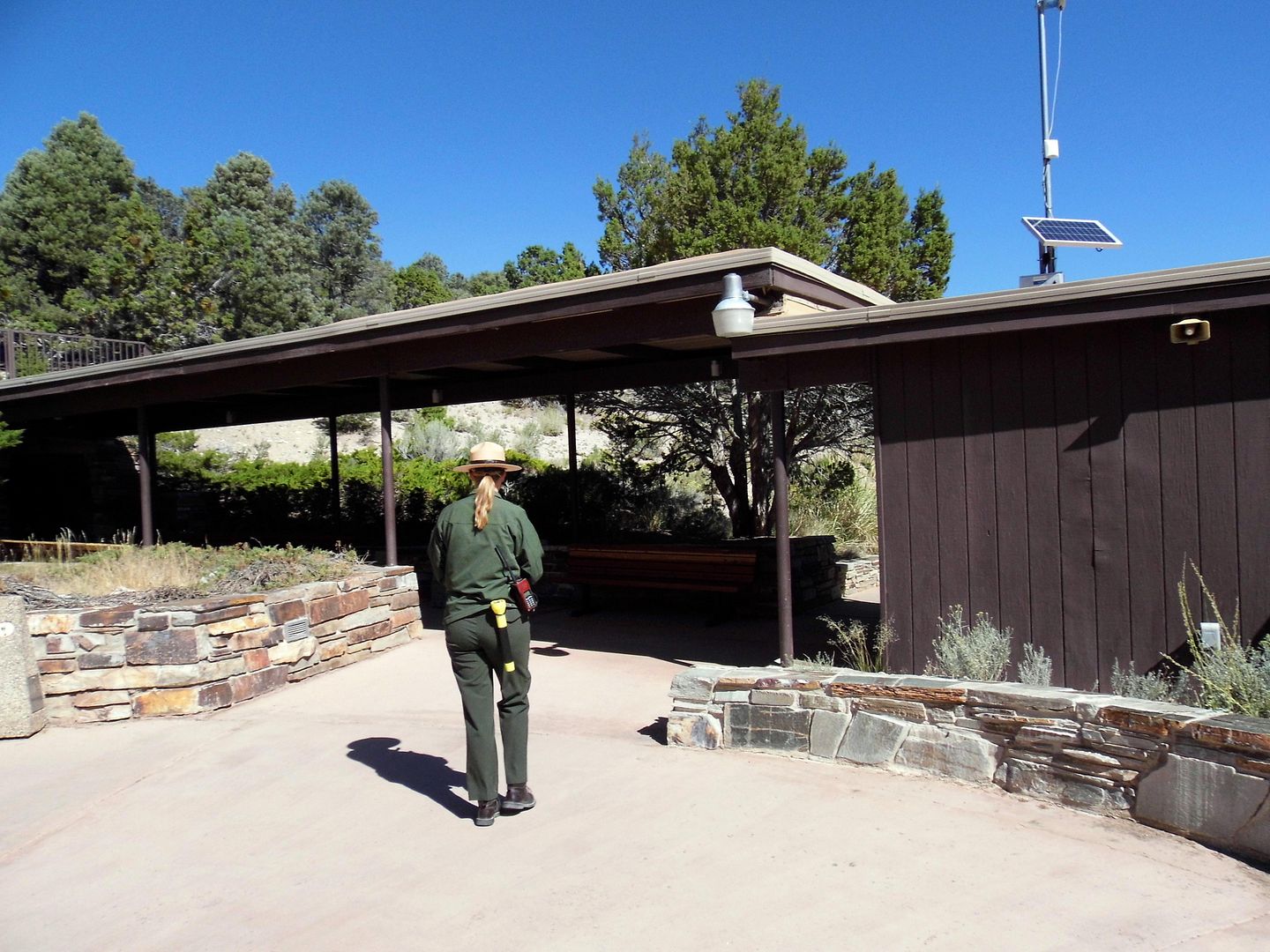
Fortunately, I felt much more comfortable at the 7000-foot elevation at the entrance of Lehman Cave.

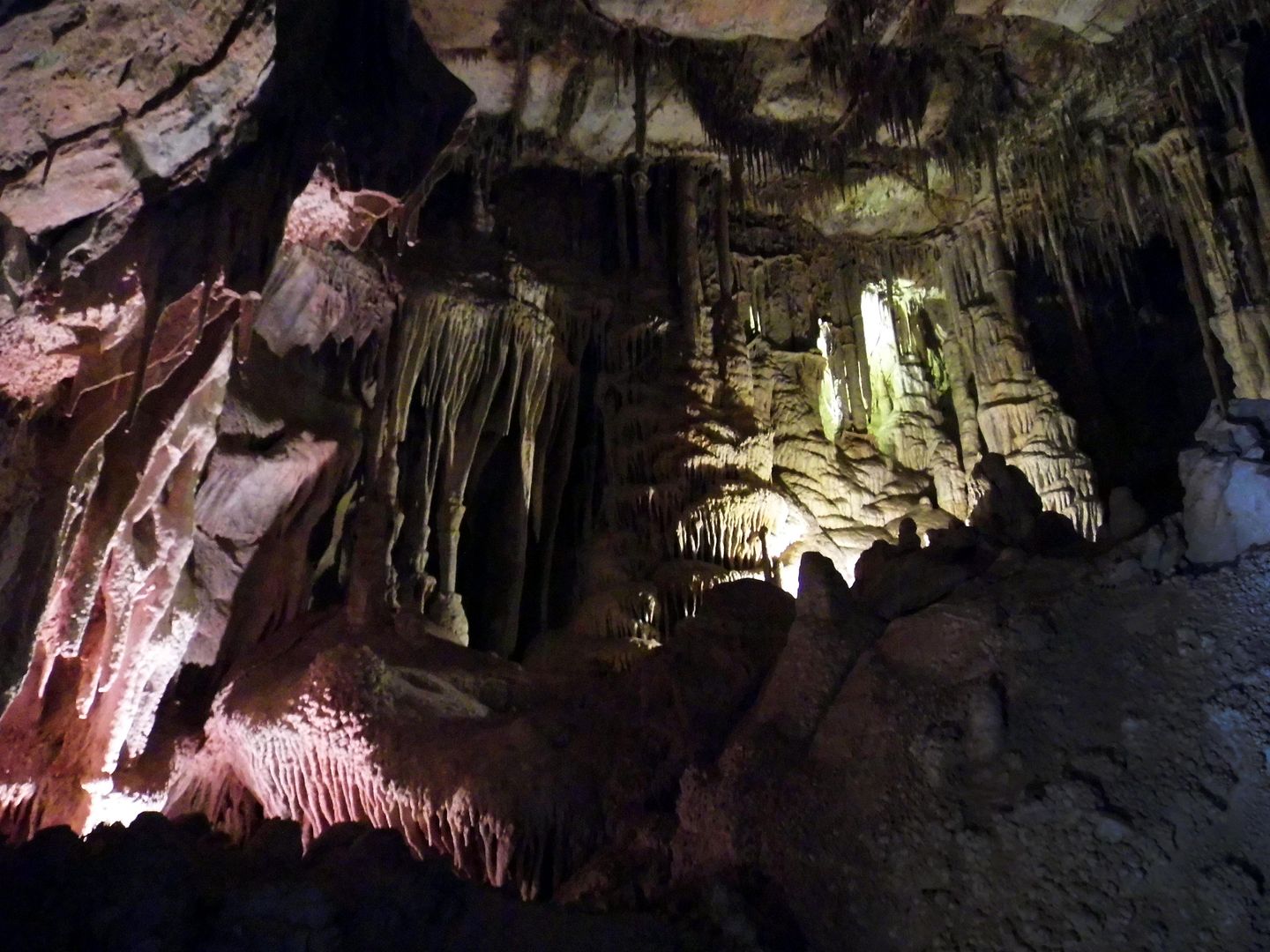
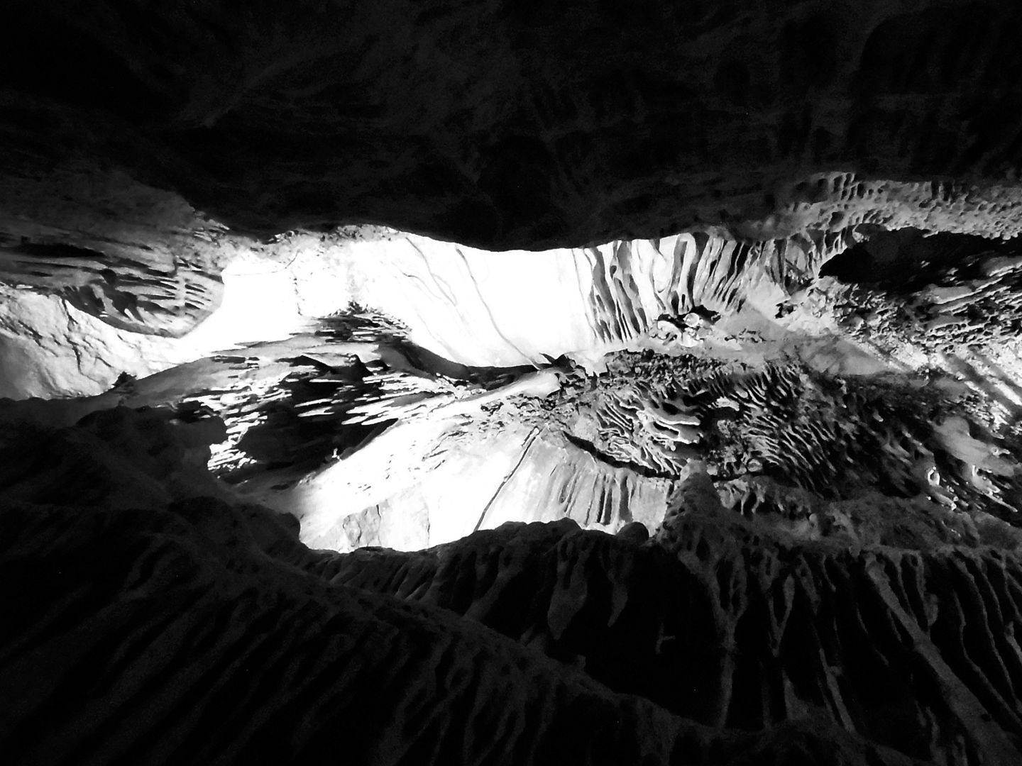
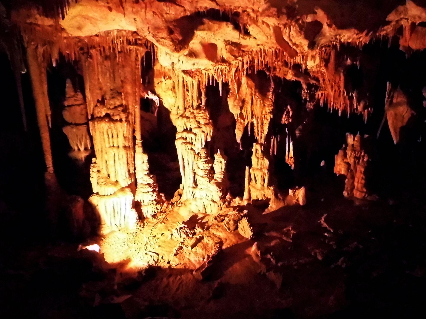
As we descended into the "rooms" and passageways once formed by water, starting with the Gothic Palace...

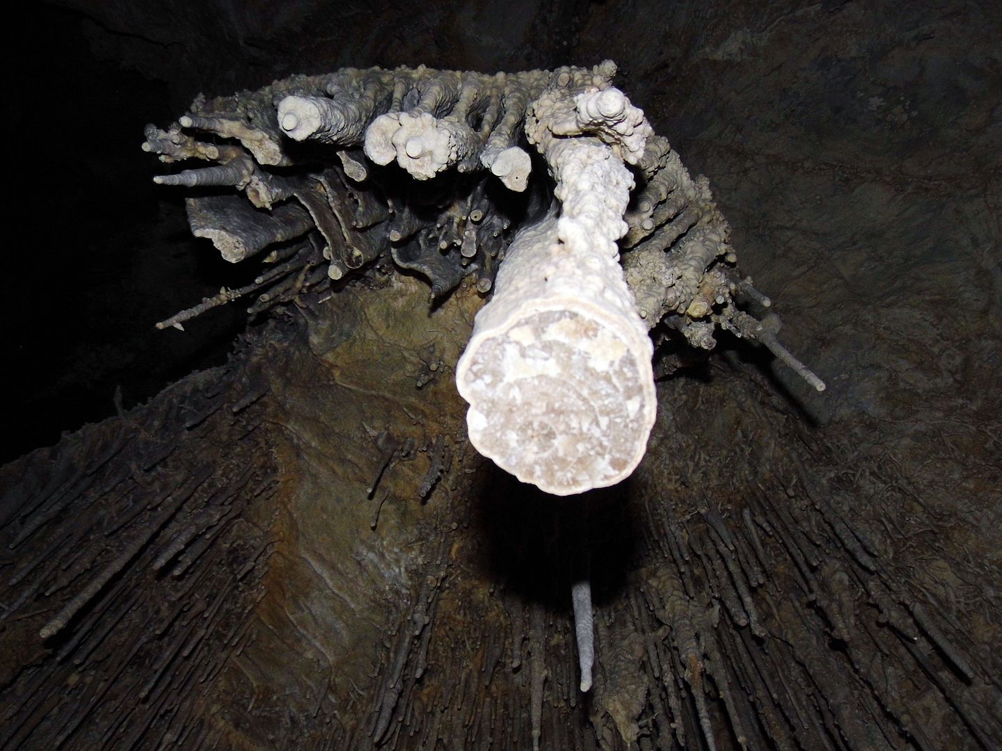
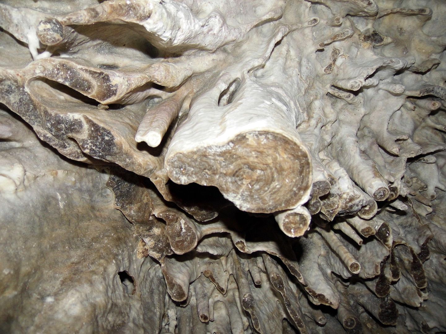
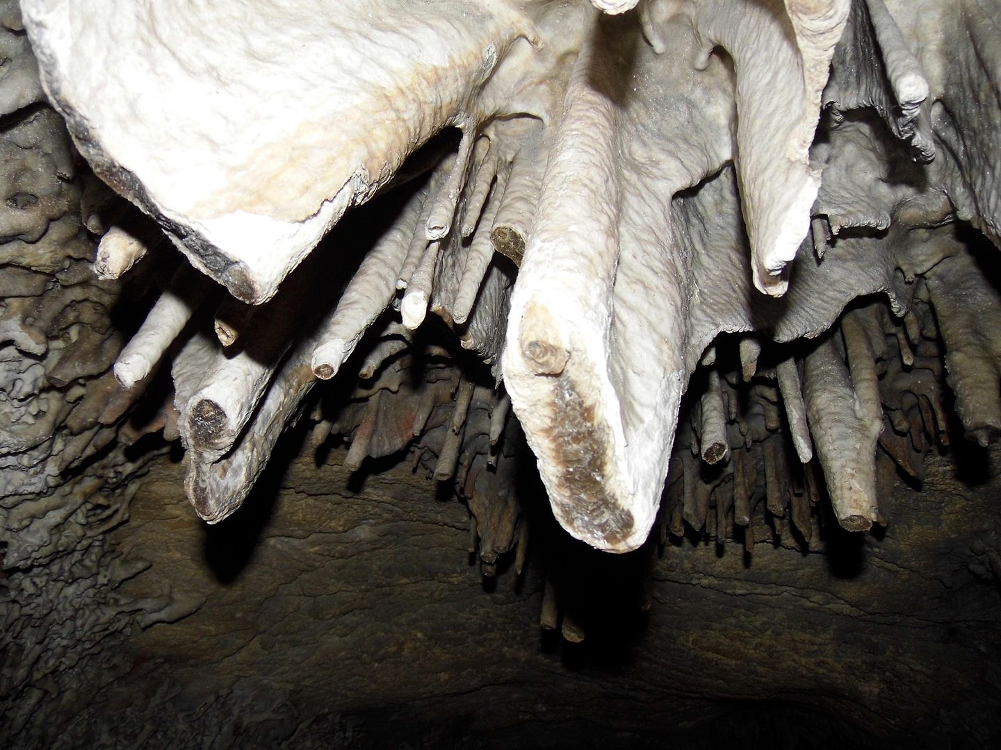
...I could admire the crystallized stalactites without distraction.

I could gaze up from the Music Room's "pipe organ," 125 feet below the surface, with a 51-foot "ceiling," feeling dizzy and short of breath only in response to its beauty.

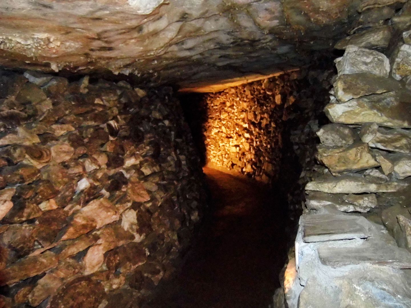
Unfortunately, to accommodate tourists like myself, much of the rock (including stalactites and stalagmites) was blasted ages ago and reused to build walls, doorways, and benches (including those of the "Panama Canal").

In an event space once called the "Skating Rink"...

...the points of stalactite formations were chopped off so as not to stab anybody in the head (or poke their eye out).

The only other way in was a belly crawl through a passage known as "Fat Man's Misery."

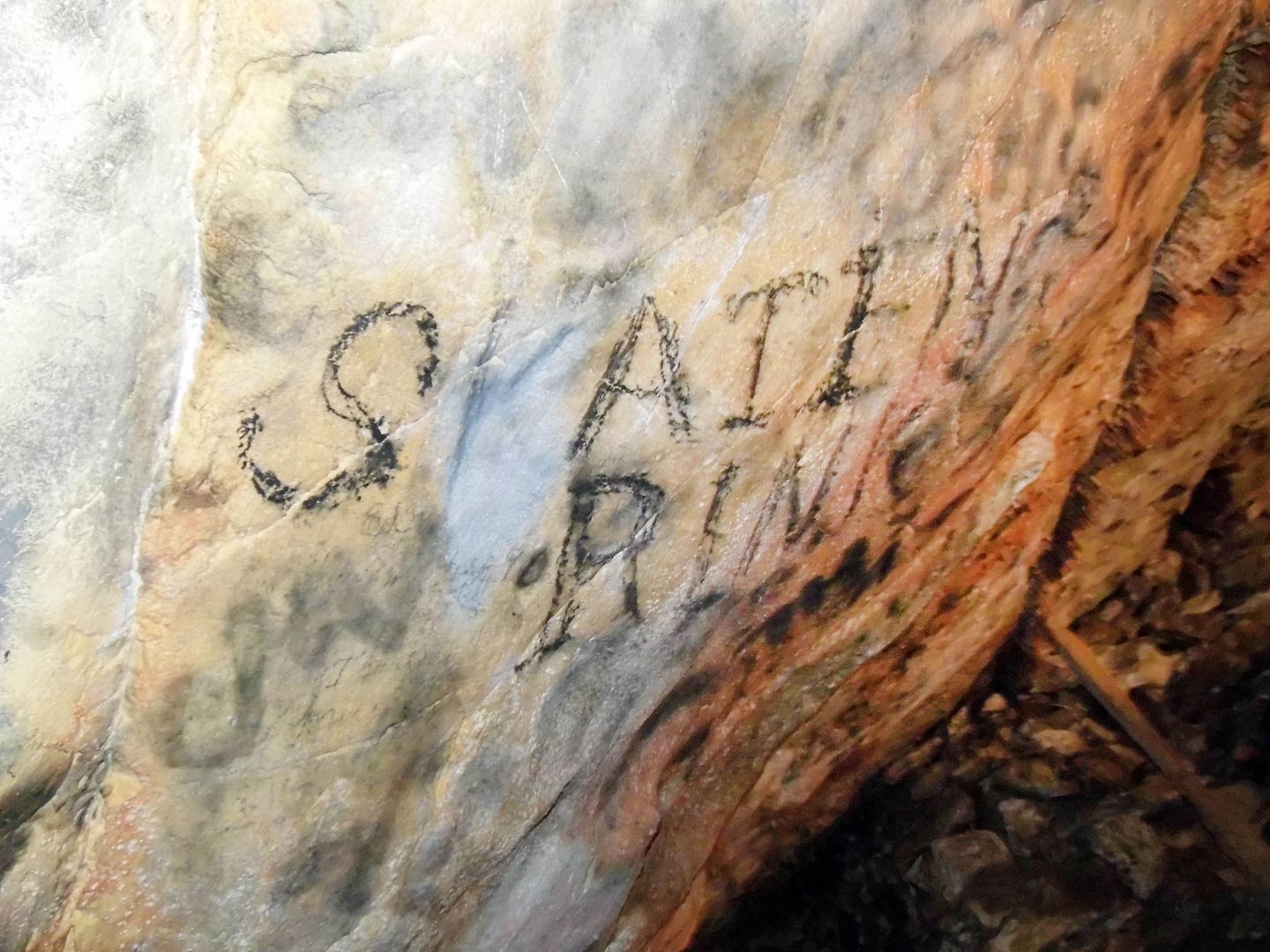
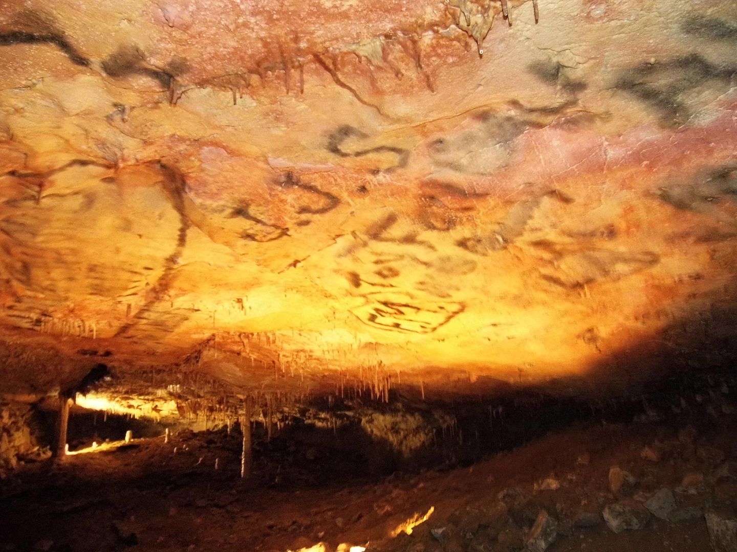
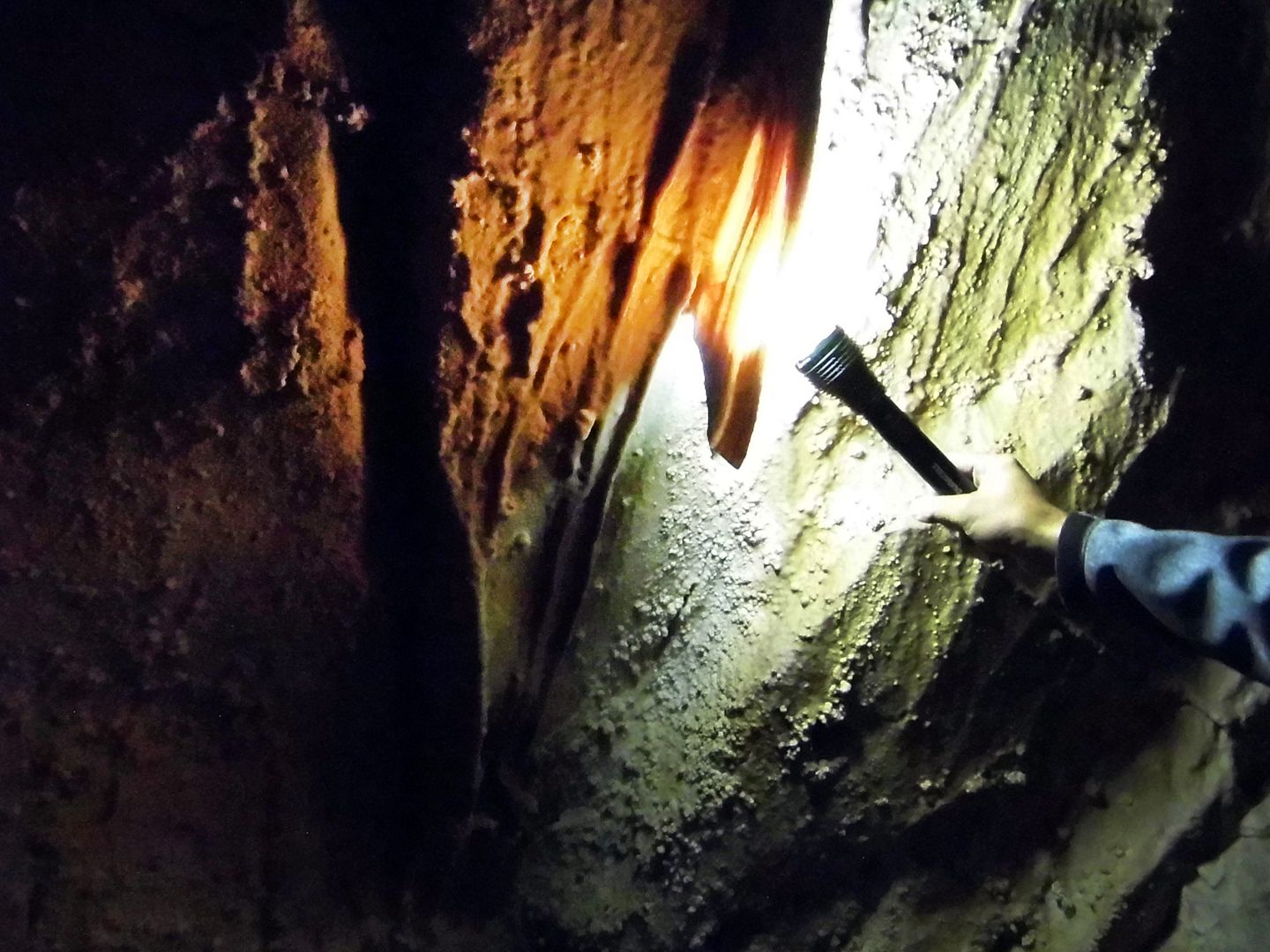
It's now called the "Inscription Room," in honor of the names and initials written on or burned into the ceiling with graphite, charcoal, or soot—not the marks of any First Nations tribe, but of attendees on Absalom Lehman's tours
from 1885 to 1892.

Back then, it was known as “Lehman’s Wonderful Cave.” And although well-meaning stewards have tried to scrub some of the signatures off, they're now considered a protected cultural resource.

That being said, we were not welcome to add our own inscriptions, and instead were shuffled off through the Cypress Swamp and on to the Grand Palace...

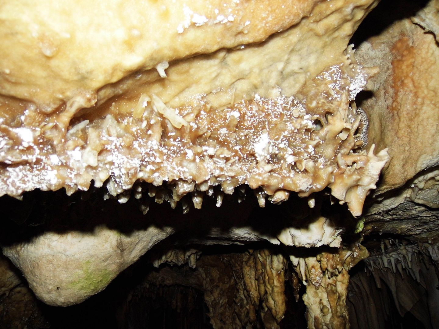
...where we spent a lot of time admiring a marbled formation known as "cave bacon."
Since its discovery by white settlers, Lehman Caves has fascinated people so much that they've thrown parties—and even weddings—down there.
In the mid-1960s, the Army Corps of Engineers designated a room specifically for civil defense shelter use, stockpiling two weeks' worth of rations that included tinned crackers, water cans, medical supplies, and radiation monitoring equipment.
But the cave-dwelling packrats had a field day with the supplies.
And by 1979, the rations hadn't been needed—so they were removed, unused, as efforts shifted to conserving the caves rather than using them for government purposes.
At a constant 50 degrees F, it's certainly comfortable enough down there for hiding out.
And as the longest known cave in Nevada, there'd be plenty of room.
It's no wonder they don't let you down there on your own. You'd get lost. And maybe consumed by bats or pseudoscorpions.
It's worth making the advance reservation for the 90-minute tour—or, in our case, showing up at 7 a.m. to try to get same-day standby tickets.
Related Posts:
The Impersistence of Memory: A Return to the Reopened Mitchell Caverns
Alone in A Crowd, Naturally.