Search

Showing posts with label JoshuaTree. Show all posts

March 16, 2024

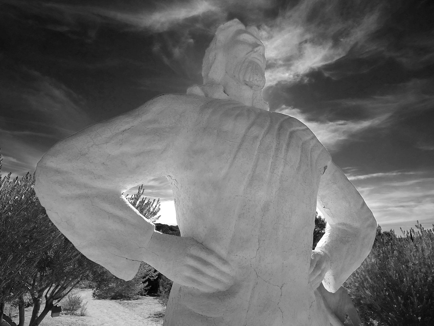
Photo Essay: The Many Jesuses of Desert Christ Park, Restored and Resurrected

Sculptor Frank Antone Martin was a plaster pattern maker for the aircraft industry, based in Inglewood, California. He'd dreamed of placing a giant, steel-reinforced concrete statue of Jesus perched over the rim of the Grand Canyon—and even went so far as to make it. 

From a poem Martin wrote about the project (yes, he was a poet, too):

He fashioned an object of concrete and steel
To staunchly present his conviction and zeal;
The model he chose was the great Prince of Peace
Just standing there bidding all hatreds to cease.

Unfortunately, officials in charge of the Grand Canyon told him they didn't accept works from out-of-state artists.

Martin offered the statue to other venues, like Forest Lawn, which also turned him down. He started calling his monolithic Jesus figure "The Unwanted Christ."


February 04, 2024

A Four-Year Wait For Llama Love

I should know by now that reality rarely lives up to my expectations. 

And when I spend years building up anticipation for something—especially something I may have missed out on and have the chance to make up for lost time—I'm most certainly bound to be disappointed.

I think if I were able to travel back in time and actually go to my proms, I'd probably have a horrible time and be horribly disappointed.

But here I am, in 2024, trying to make up for the things I missed out on in 2020 with the onset of the coronavirus pandemic. Because I'd rather come to the rude awakening that, in reality, they're less than—as opposed to feeling like I missed out on something that could've been really great. 

 
I waited almost four years to stay at a particular llama ranch in the Joshua Tree area that I'd booked for March 2020 and had to cancel at the last minute.

February 03, 2024

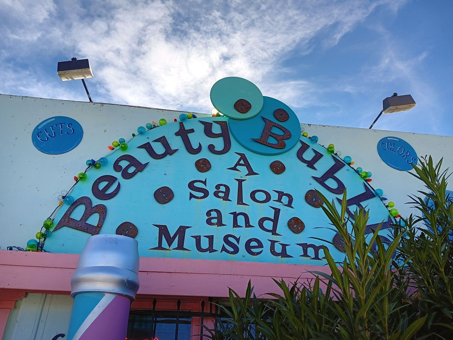
Photo Essay: Combing Through Hairstory at a Roadside Beauty Parlor Museum

I tried to learn my lesson when I realized I'd wasted so many years not going to the Crochet Museum in Joshua Tree—so upon my return to the area last weekend, I made sure I checked another place at the Art Queen complex off my list.

 
The Beauty Bubble Salon and Museum, which opened in this location along the 29 Palms Highway in 2016.

November 13, 2022

A Desert Failure, A Desert Victory (Or, A Tale of Two Mines)

The thing that got me really hiking through Joshua Tree National Park back in 2009 was the fact that it was the only way to get to the Wall Street Mill site

Back then, I was in shape enough and confident enough—or stupid enough—to trek out there by myself. 

But my hiking abilities have really declined since my car accident in 2014—and so I've had to curtail my adventures and stick to easier hikes, usually with groups. 
   
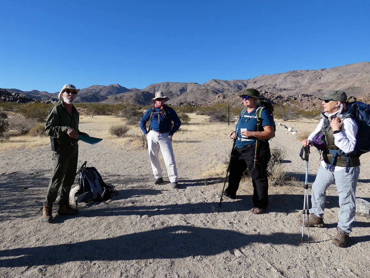
So I was excited to join the Desert Institute on a field trip back into the park—this time, near the Twentynine Palms entrance—to explore a couple of lesser-known mine sites. 

November 11, 2022

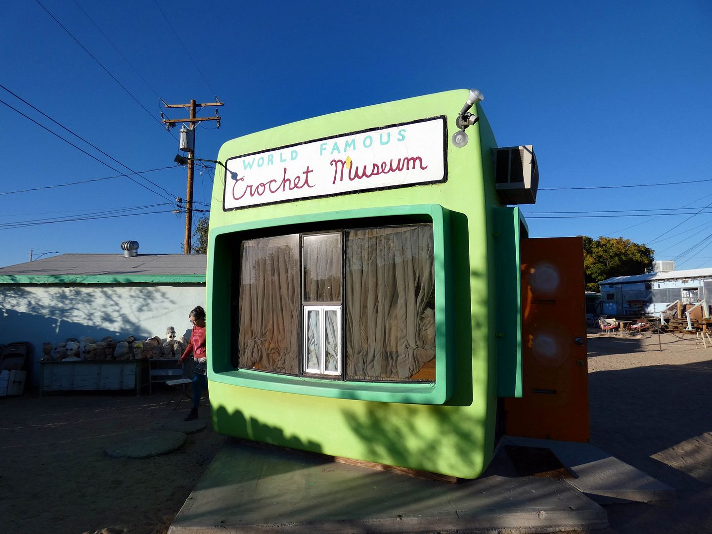
Photo Essay: World Famous Crochet Museum, Joshua Tree

I think I was close to the World Famous Crochet Museum back in 2012. Or maybe in 2009. I remember staying at The Desert Lily and ending up at some kind of event at Art Queen, the art compound that hosts the tiny museum.
   
But I didn't go in back then. I didn't yet know how to appreciate it.

September 28, 2022

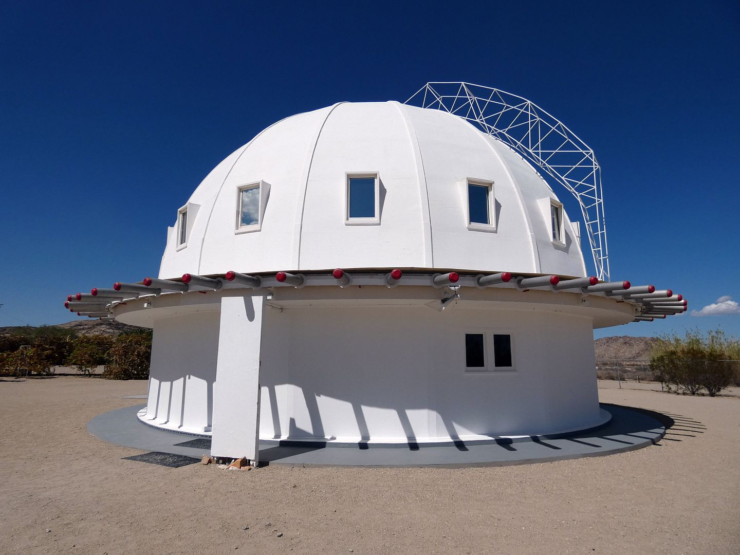
An Alien-Assisted Recharge of My World-Weary Battery At the Integratron

I'd hoped to complete my extraterrestrial experience after helping to clean up Giant Rock last weekend by following it up with the alien-architect-designed Integratron, also in the California High Desert town of Landers.  


September 27, 2022

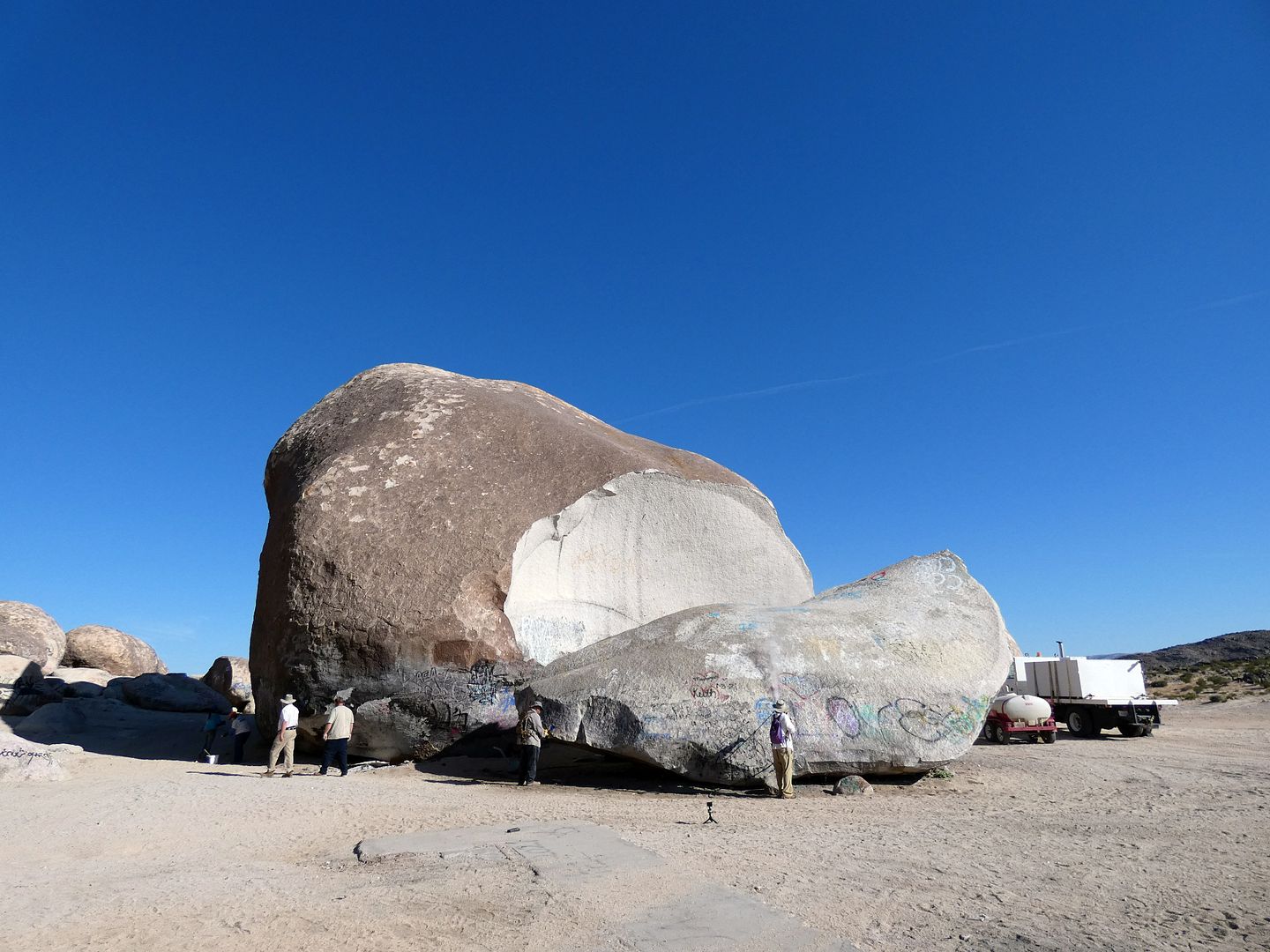
Photo Essay: Giant Rock, (Maybe) The World's Largest Freestanding Boulder & Mysterious Alien Beacon

Once thought to be the world's largest freestanding boulder, Giant Rock in the High Desert town of Landers, California has somewhat mystified me over the years...
 
 
...not only as the former site of UFO conventions...

April 10, 2021

Photo Essay: Camp Iron Mountain, The Best-Preserved WWII-Era Training Camp in Gen. Patton's Desert Training Center

About 50 miles west of the Arizona border, 32 miles north of the town of Desert Center...


...north of the juncture of Highways 62 and 177...


...is one of the best-preserved sites of General George S. Patton’s training efforts in the high desert during World War II. 

February 23, 2020

Photo Essay: A Miners' Backcountry Oasis Where the Mojave Meets the Colorado Desert

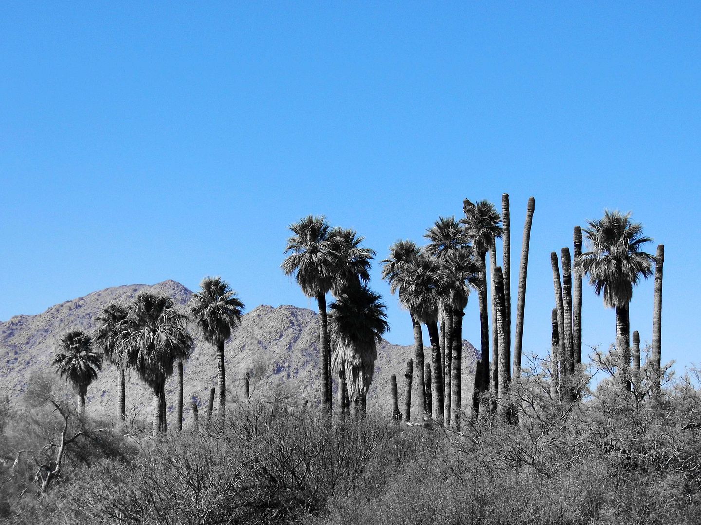
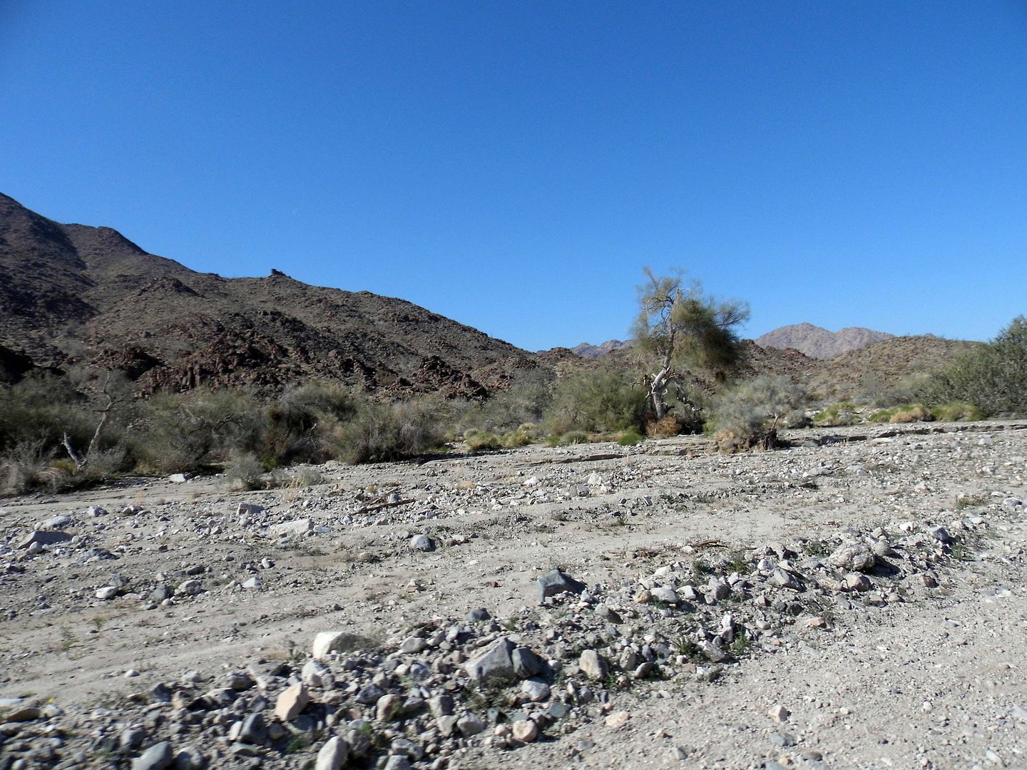
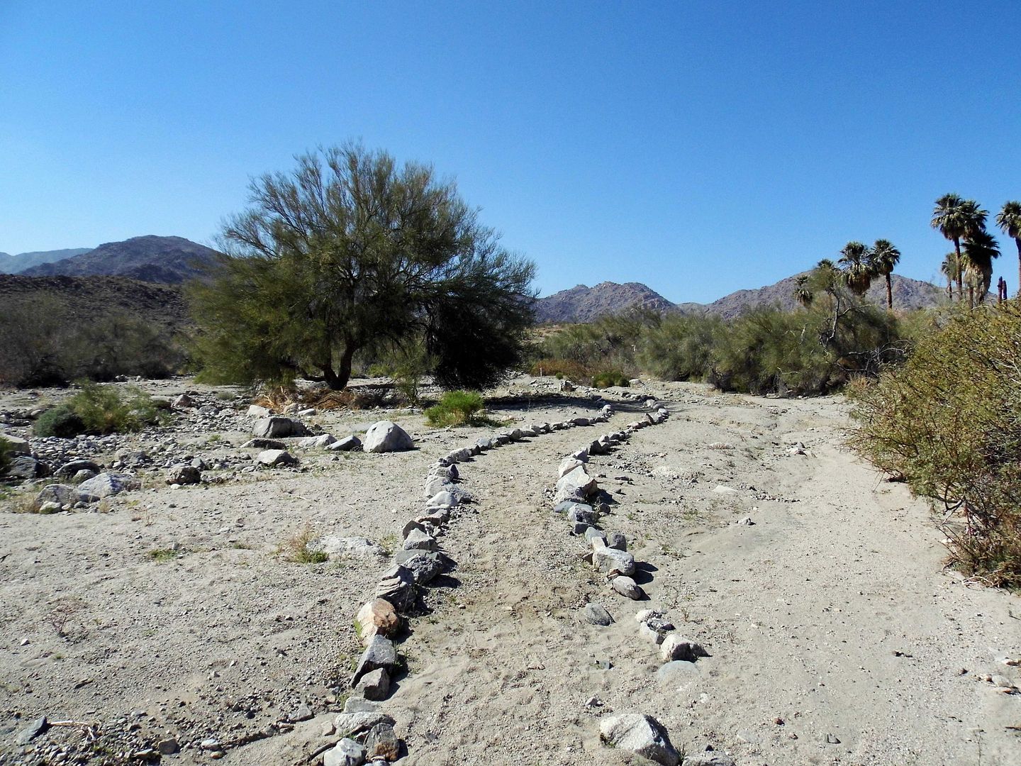
It's hard to imagine anyone accidentally stumbling on this palm oasis—a clear indication that there's water close to surface, though supplies may be limited.


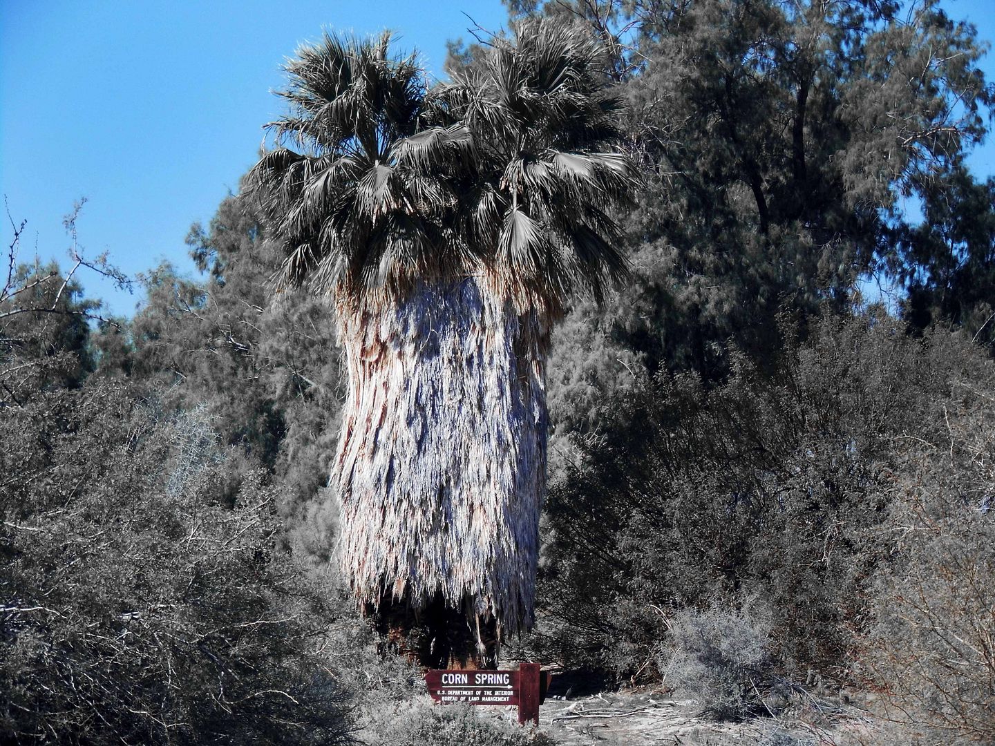
Located 8 miles down the dirt Corn Springs Road, you'd have to know that Corn Spring is a waystation for desert wanderers and nomads on a mission.


Take the 10 Freeway past the Desert Cities of the Palm Springs area, past the southern entrance to Joshua Tree National Park and the ghost town of Desert Center, and you could keep going to hit Blythe, California or even Quartzsite, Arizona.


Or, you could take the Chuckwalla Valley Road exit and turn off to the right the first chance you get, with the Chuckwalla Mountains in the distance as the Mojave Desert transitions into the Colorado Desert.


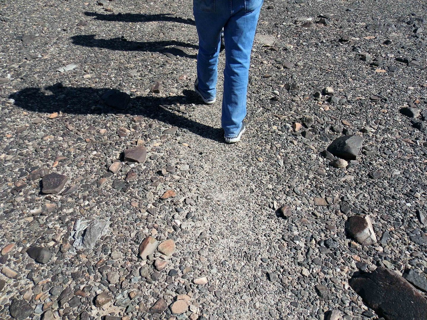
BLM-operated since 1968, Corn Spring Campground now offers some dry hook-ups and national park-stye pit toilets. But long before that, Native Americans (probably the Chemehuevi Tribe) traveled through Corn Spring along a well-worn East-West footpath, still visible today as a light-colored streak atop a stretch of "desert pavement."


That could've been as early as 1100 A.D., maybe even earlier. No one really knows.


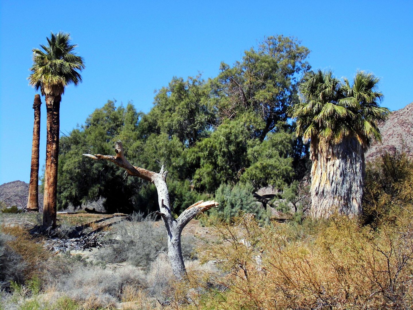
It wasn't until 19th-century prospectors started showing up and relying on the springs that word spread among white settlers. The Corn Springs Mining District was established in 1897, amidst the California fan palms, palo verde, mesquite, and ironwood trees, and desert mistletoe.


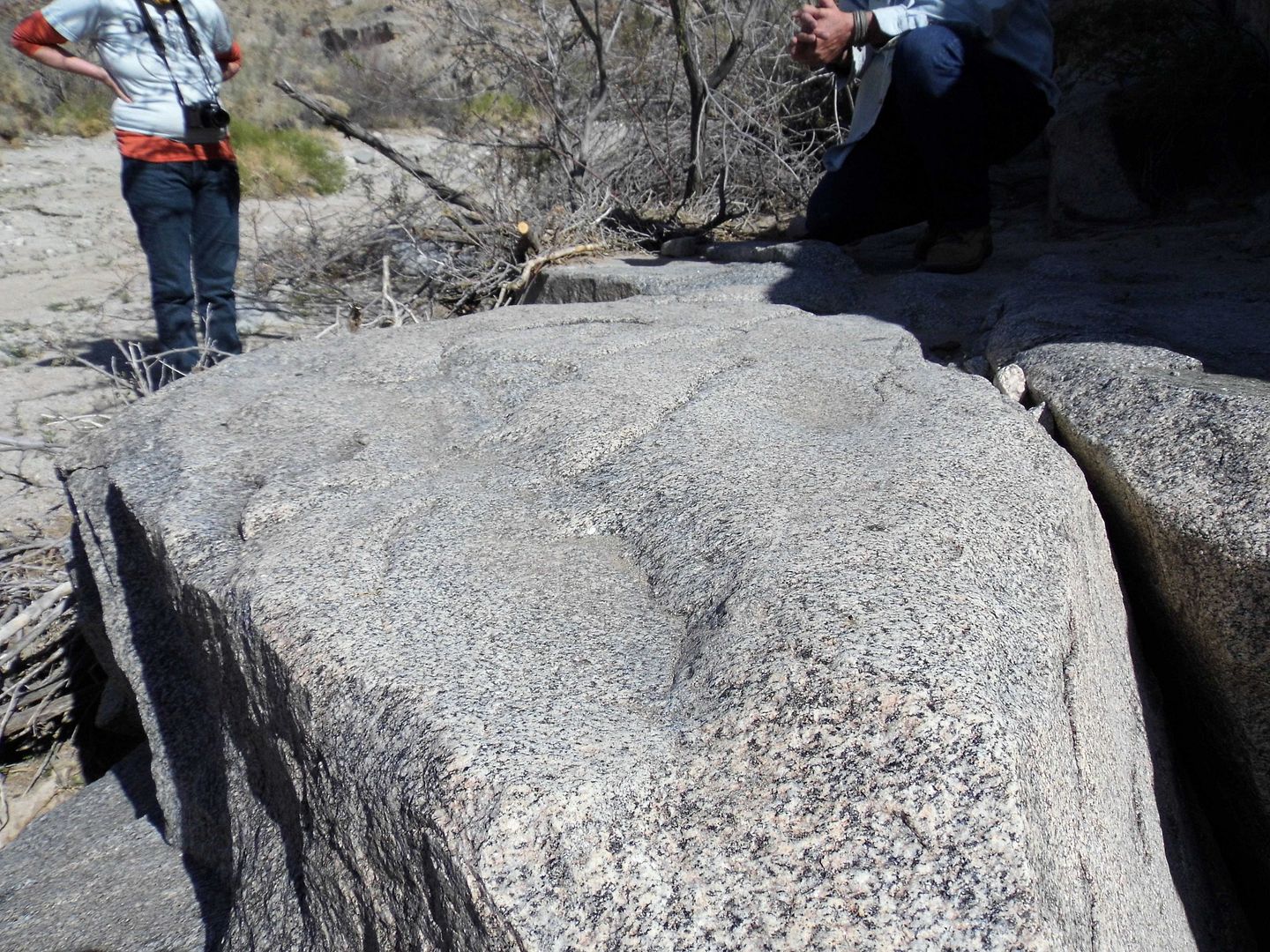
Some of those native plants fed the Native Americans who passed through the area—and who used the nearby granite rocks as their own desert kitchen, slowing hollowing out metates as they ground up the multicolored corn they'd planted into flour and other seeds into mush.


The namesake spring at the oasis was flowing during the heyday of the Pacific Mining District, helping gold and silver prospectors survive the rugged landscape.


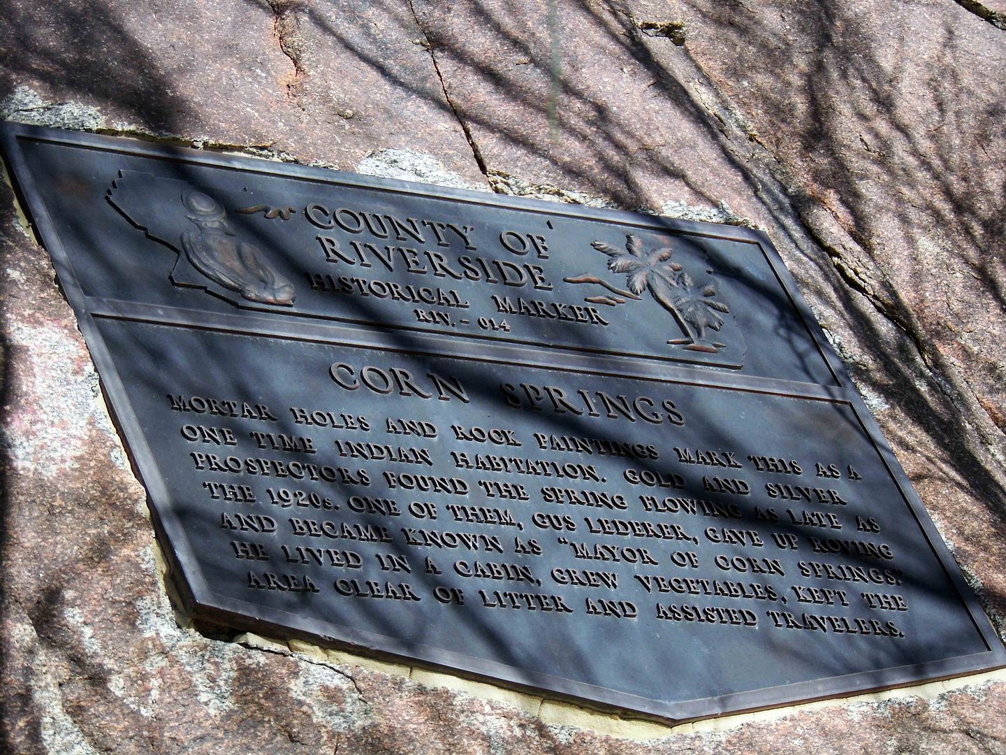
One such prospector was Gus Lederer—the self-proclaimed "Mayor of Corn Spring" from 1915-1932. A graduate of the Colorado School of Mines, he gave up the gold rush and settled permanently in one of the miners' cabins


There, he grew vegetables, maintained the site as its unofficial steward, and helped out travelers in need.


He famously loved the burros left behind to fend for themselves by the miners who abandoned their claims. Legend has it he'd cook pancakes for them every morning.


Sometime in the 1920s, the spring stopped flowing so freely. It probably hadn't dried up per se, but likely seismic activity shifted things around so the waters weren't quite as accessible above ground as they were before.


That didn't deter Gus Lederer. In fact, he survived out there in the backcountry until 1932—when a black widow spider bit him on the back of the neck and he couldn't be transported to get help in time to save him.


Some of those old cabins are still out there, past the Corn Spring Campground—but because a class on rock art had brought me there, I didn't know to look for them (and wouldn't have had time).


I'll have to go back.


I'd also like to visit the mayor's gravesite at Aztec Wells, where he was buried alongside a couple of fellow miners (including "Little" Tommy Jones, d. 1923).


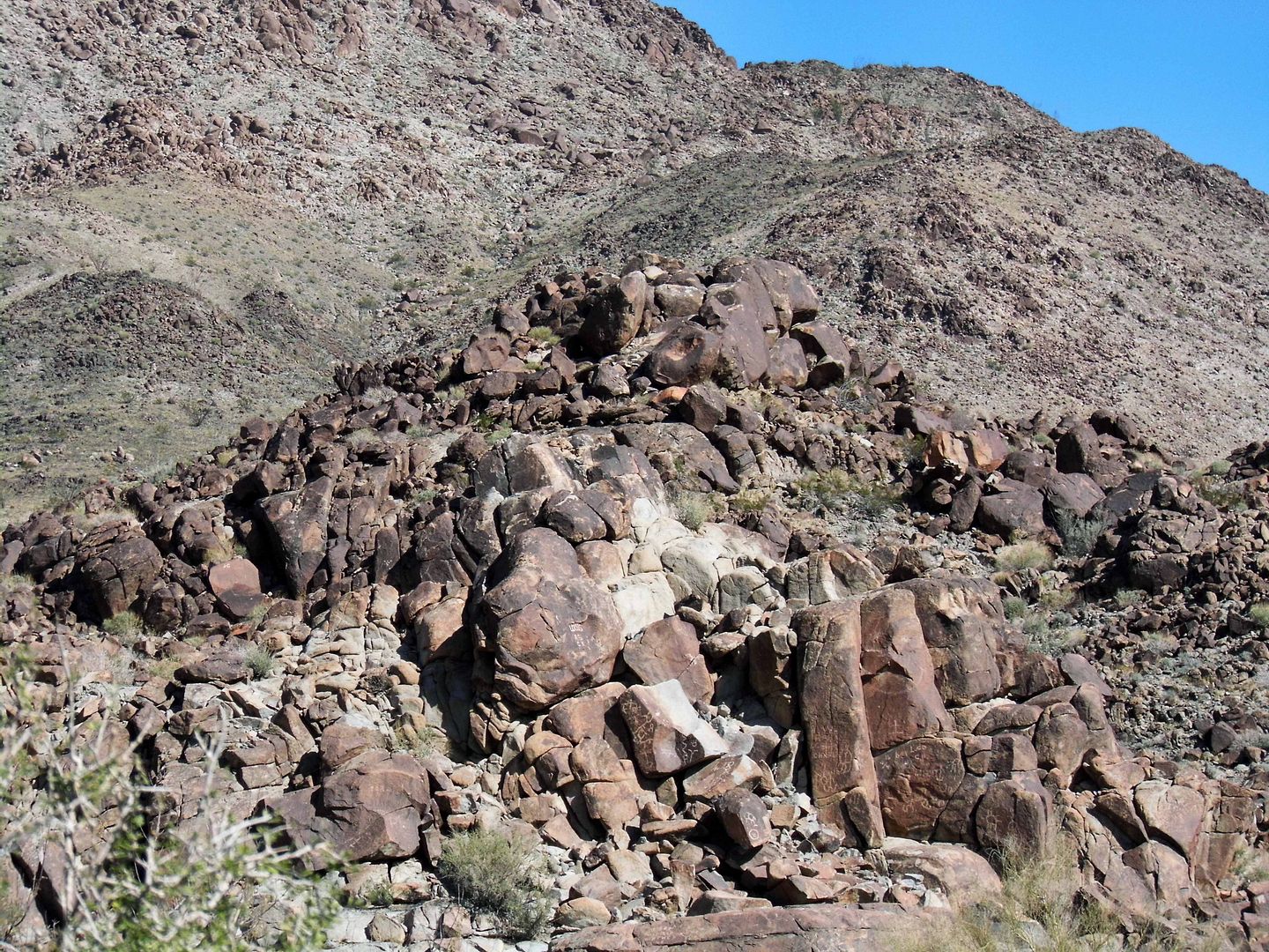
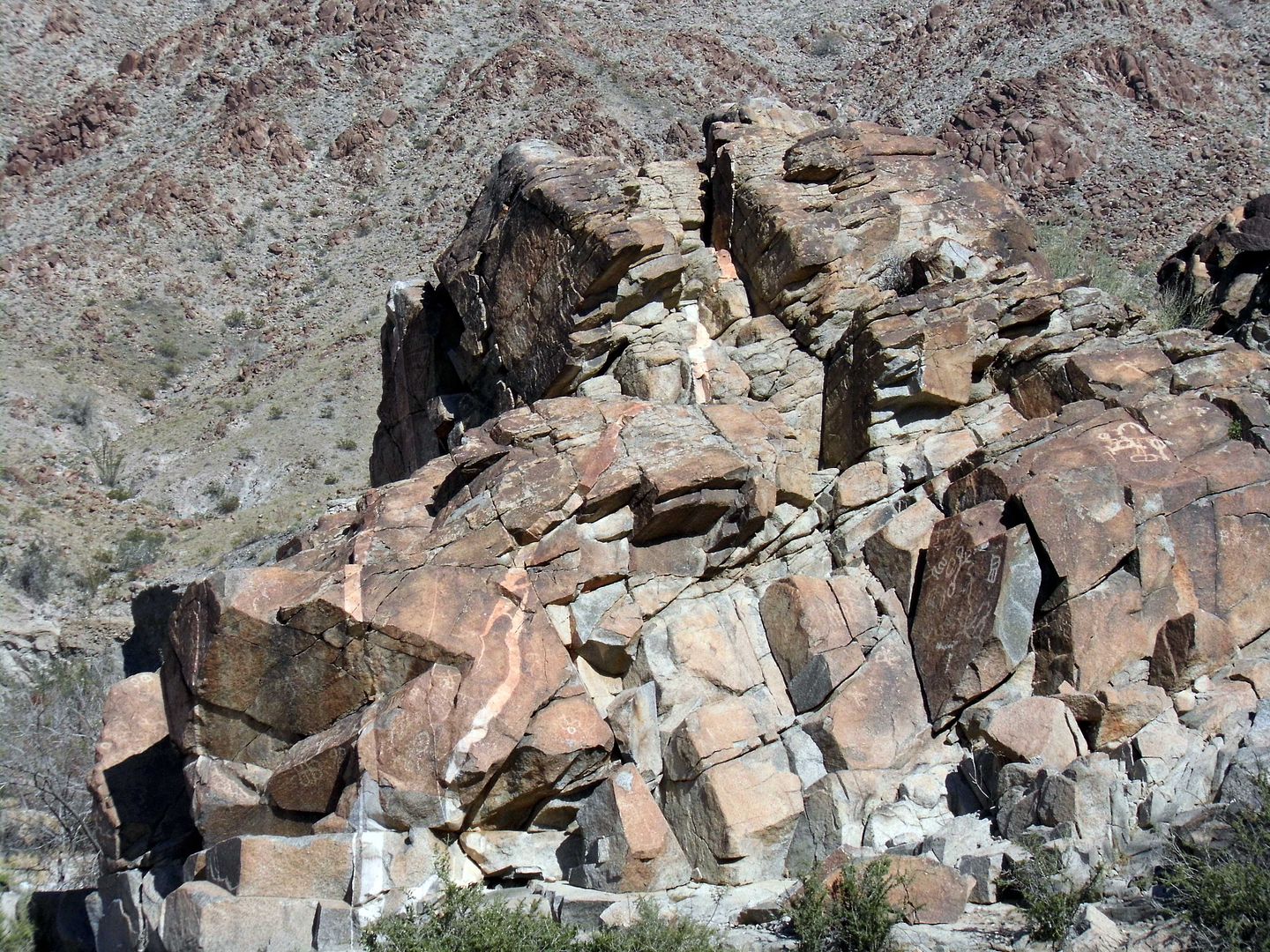
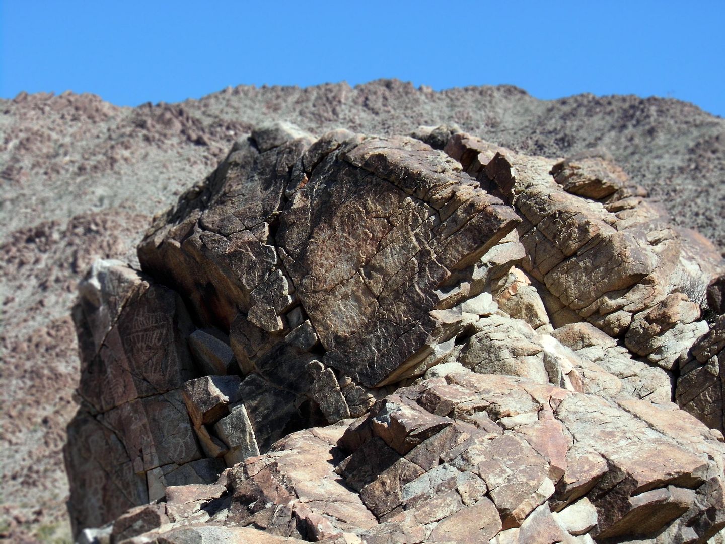
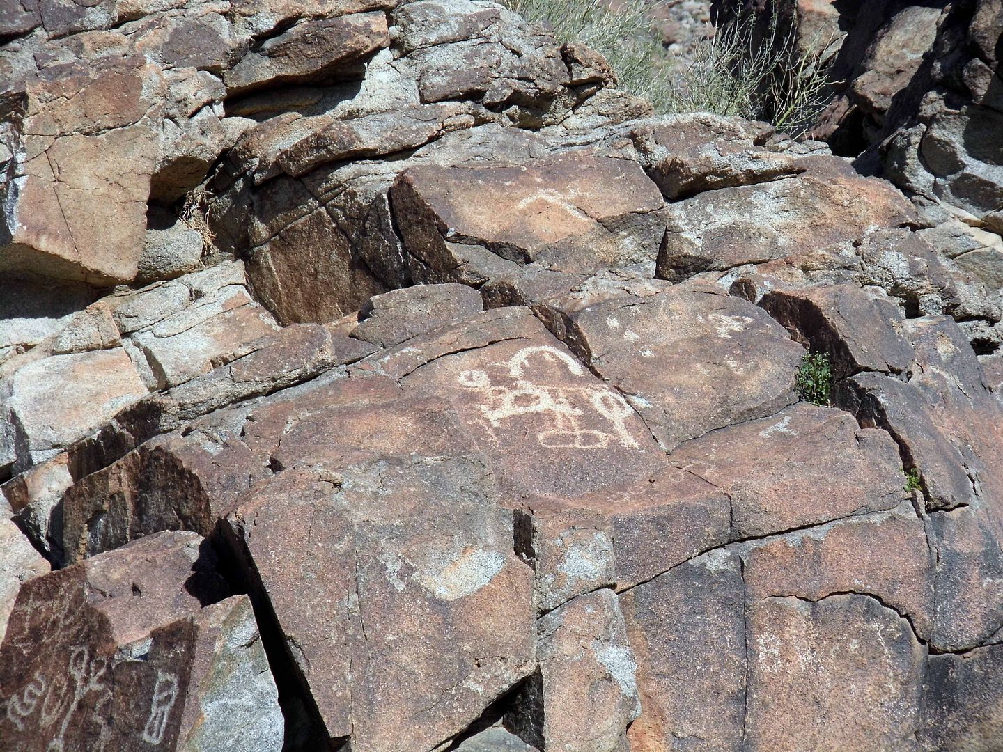
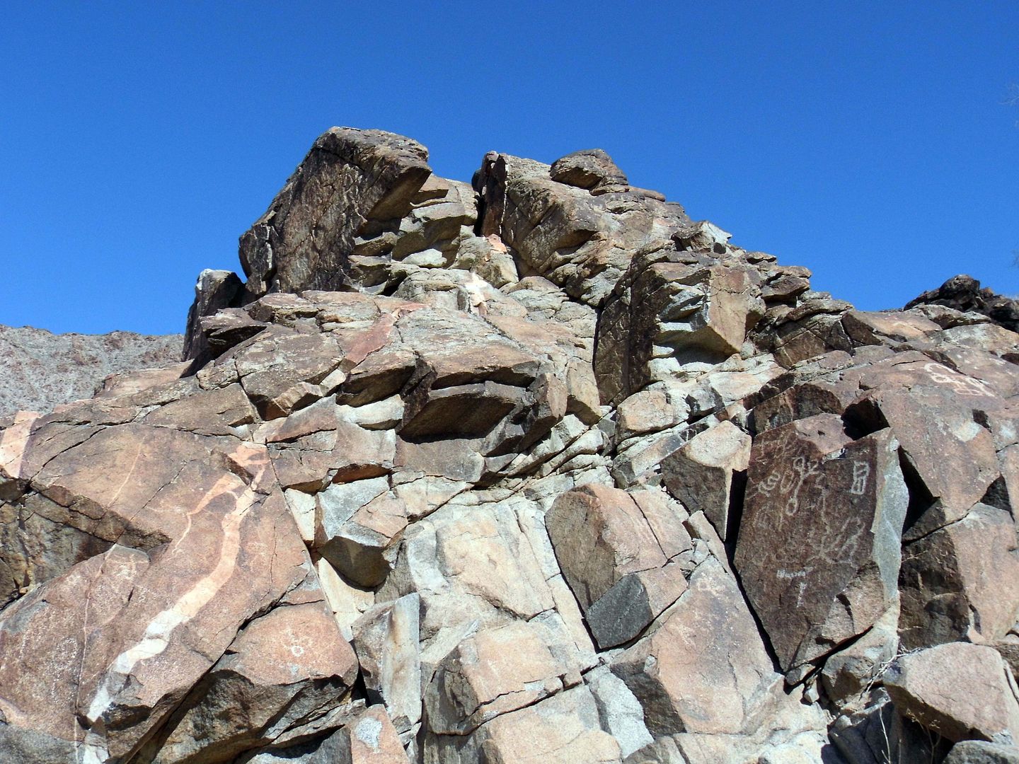
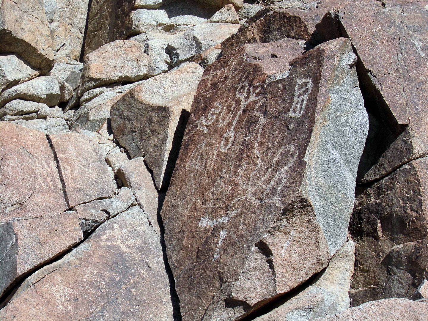
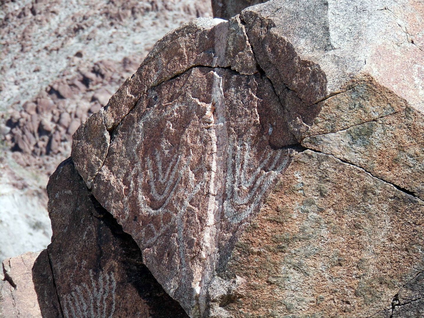
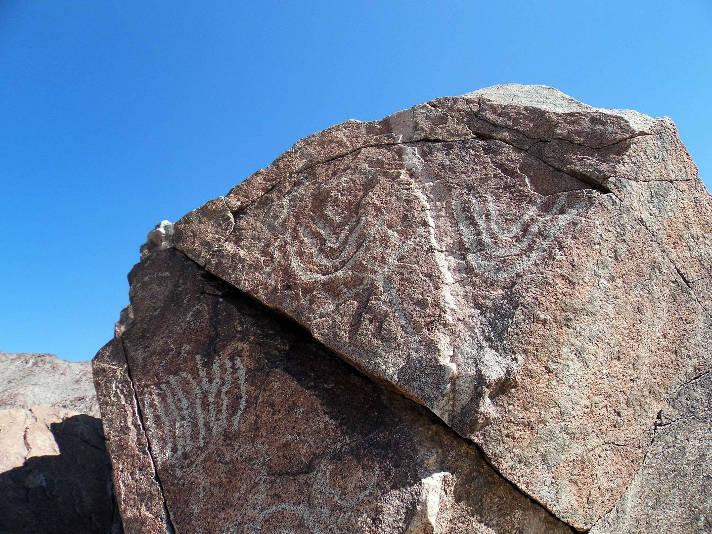
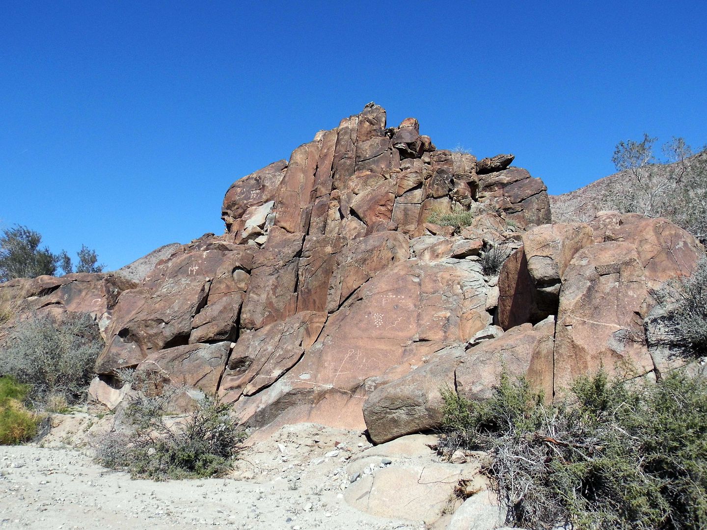
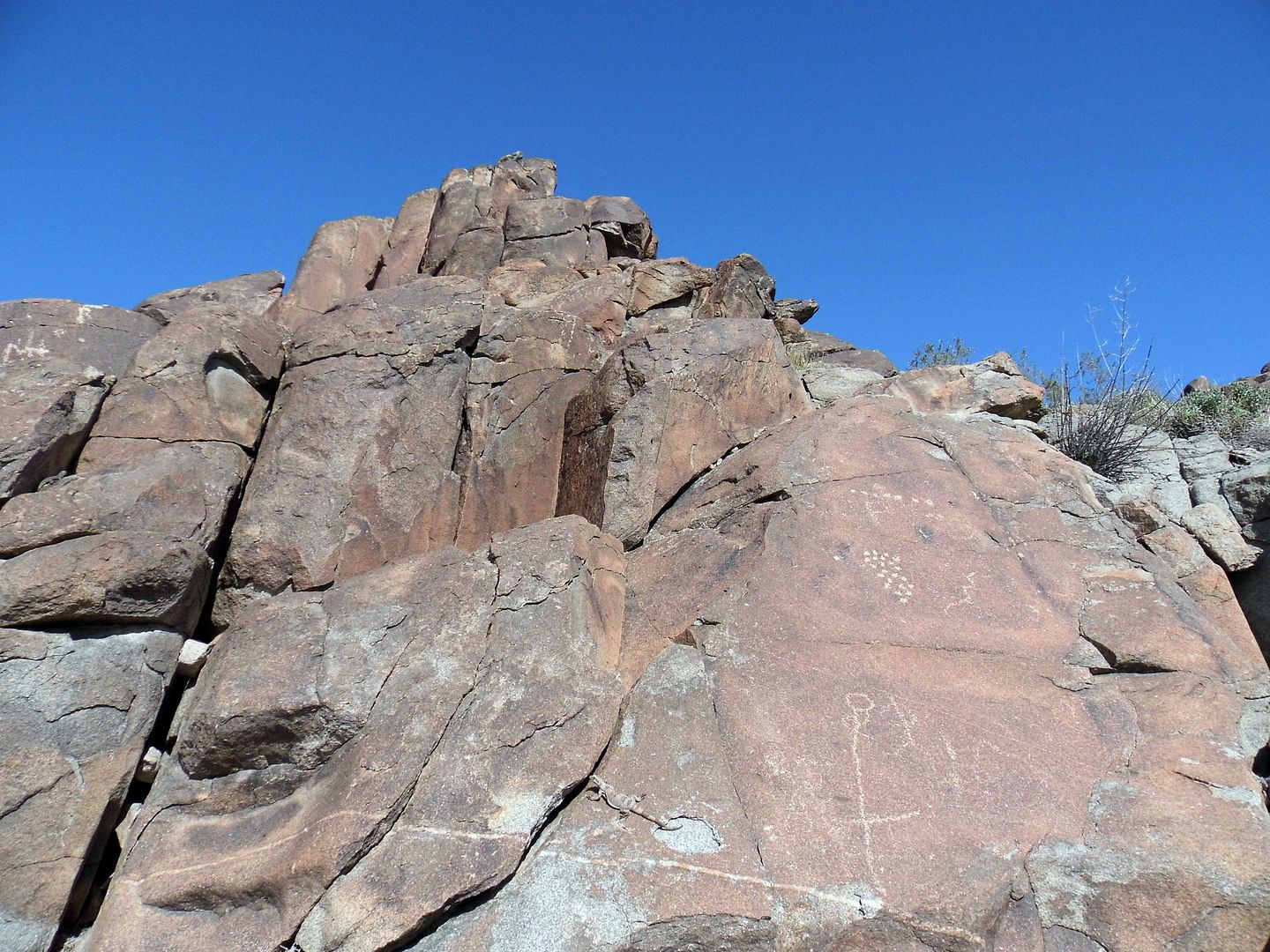
There are probably at least 10 total significant rock art (specifically, petroglyph) sites at Corn Spring, though I've now seen two of the biggest ones.


After decades of studying them, scholars still don't know much about what the symbols scratched into the desert varnish mean.


After all, most of the etchings are abstract and not figurative...


...though it's our inclination to see faces and identify stick men, animals, and even boats out of collections that might actually just be lines and circles.


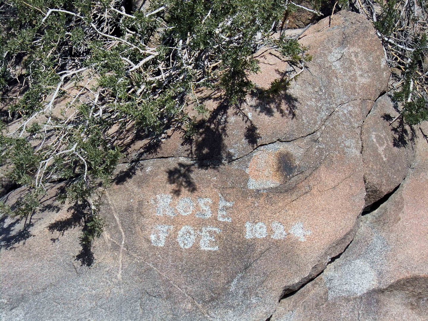
Considering the frivolity of lots of contemporary vandalism and graffiti, there may not be as much significance to the Native American rock art as we might think.


But as more and more time passes, the fuzzier the line between modern-era doodles and historically significant carvings become.


Enjoy this very good video from The Desert Way (an essential resource for desert research) at Corn Spring Campground and Aztec Wells, above.

For historic photos, visit the article "Into the Chuckwallas: Rediscovered Desert Photographs of Susie Keef Smith and Lula Mae Graves" on KCET.org

Related Posts:
Photo Essay: Ancient Petroglyphs Secured Inside a Navy Weapons Testing Station

May 26, 2019

Photo Essay: The Former 29 Palms Air Academy Readies Future Iraqi War Heroes

I hadn't noticed it much when I first visited Joshua Tree back in February 2009. But when I lived in Joshua Tree during the summer later that year, it was inescapable.


All those young boys were stationed at the 29 Palms base while the rest of us were hiking, basking, getting coffee, taking a dip in the pool.


They'd get one night out on the town, maybe, and I'd see them drinking margaritas at Kokopelli's Kantina on karaoke night, ready to kiss up on any lady willing to pucker her lips.


I'd wonder what life was like for them on that base—and I knew there were others, the married ones with wives and kids in tow, probably having already bounced from one place to another, maybe feeling punished with having been stationed in the California desert in summertime.


The Marine Corps Air Ground Combat Center (MCAGCC) isn't generally open to the public, though community groups can request a tour to walk through Heritage Park...


...and catch a glimpse of daily life.


Officially commissioned as a Marine base in 1957, this huge swath of land had been used before that by the Army, with its beginnings as a glider school (a.k.a. 29 Palms Air Academy).


The Navy took it over in 1943—but two years later, after World War II ended, they removed it from its active duty support role.


During the Korean War of the early 1950s, our U.S. military needed a space big enough for long-range field artillery (missiles, rockets) as well as giant tanks so troops could perform complete and realistic combat simulations.


Those simulations didn't end with the Korean War—because in Summer 1966, conditions in Vietnam were simulated as part of "Operation Sidewinder." And it wasn't just the heat, but also ground troops being attacked by fighter jets and learning to avoid booby traps and civil insurrection.


Through the end of the Cold War, 29 Palms was also where you could find training for Fleet Marine Forces (an amphibious brigade) and the Combined Arms Training program, which took an integrative approach to warfare and trained its battalions in fighting in the air, on the ground (a.k.a. infantry), and with long-range weapons (a.k.a. artillery).


In 2003, soldiers who had been trained at 29 Palms were deployed to Iraq as part of "Operation Enduring Freedom," a.k.a. the "War on Terrorism" in the wake of 9/11.


The operation against Al-Qaeda and the Taliban may have technically ended in 2014, but the conflict is ongoing.


The entrance to the base is situated just north of the town of Twentynine Palms, which is civilized enough despite its proximity to a national park.


But the extent of the base stretches for miles and miles and miles, practically meeting up with Ft. Irwin outside of Barstow.


In fact, its exact borders are classified. But what can't be seen by neighbors or passers-by can probably be heard.


In 2010, the base opened its Combat Center at Range 800 to train units on counter-IED (improvised explosive devices) warfare—teaching them the "5 Cs" (confirm, clear, cordon, check, control).


A resourceful insurgent can make a bomb out of nearly anything, without it even looking like a bomb. That's what accounted for 85% of deaths of U.S. troops and our allies during Operation Enduring Freedom.


Marines learn marksmanship here, too—in the indoor simulator, which provides a safe way for inexperienced shooters to achieve proficiency in small arms (pistols, rifles, machine guns, grenade launchers)...


... and proficient shooters to hone their skills.


Another technological advancement that allows for training without the waste of resources (or the risk of, you know, death) is the Combat Convoy Simulator...


...an immersive training environment for drivers, gunners, and passengers in tactical scenarios related to convoy operations in combat.


It's "virtual reality"-type simulations like this that allow civilians to really understand the training that our troops go through, too.


You can even get behind the wheel of the Operator Driver Simulator—and it really feels like you're driving (on a rough road, making sharp turns, etc.).


Fortunately, our simulator shooters weren't using real bullets.


Another part of the 29 Palms base training ground at Camp Wilson is the Egress Trainer.


It's basically a simulation of a scenario in which your vehicle rolls over and you have to get out (or get your fellow troops out)—and it's mandated for all Marines to complete before they enter any "real-world" combat scenarios. (Only a few bases have them, so some Marines have to travel to train.)


It's not exactly that simulated—because they literally flip the thing over.


But it's a controlled environment, even though it doesn't feel that way when you're inside during what they call an "inverted event."

If there's anything that can convince you to wear a seatbelt, it's that.

The 29 Palms Combat Center also houses natural resources—not the least of which are the desert tortoise, a prehistoric spring fed by "underground fossil water" (a.k.a. Surprise Spring), and many prehistoric art panels (petroglyphs and pictographs) created by the indigenous peoples who once occupied the land (Serrano, Mohave, Chemehuevi, Cahuilla tribes, etc.).

The Foxtrot Petroglyph Preserve—a national historic landmark located in the Lava Training Area—is probably the best known, though few ever get to see it. It's federally protected, so the Marines have to preserve it as part of their duty in 29 Palms. The site has been off-limits to live-fire maneuvers since 1973.

Their biggest challenge with the ancient cultural site? Beating back intentional vandalism.

They've got their work cut out for them.

Related Posts:
Photo Essay: A Fake Iraq in the Middle of the Mojave Desert
Photo Essay: The Abandoned Morton Air Academy at Gary Field
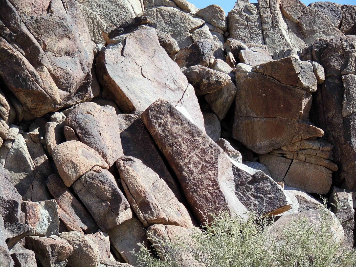
Photo Essay: The Boneyard at the Former Cal-Aero Flying Academy