Search

Showing posts with label Wildflowers. Show all posts

March 26, 2026

Photo Essay: A Spring Bloom on the Largest Channel Island—And Its Rare Standout

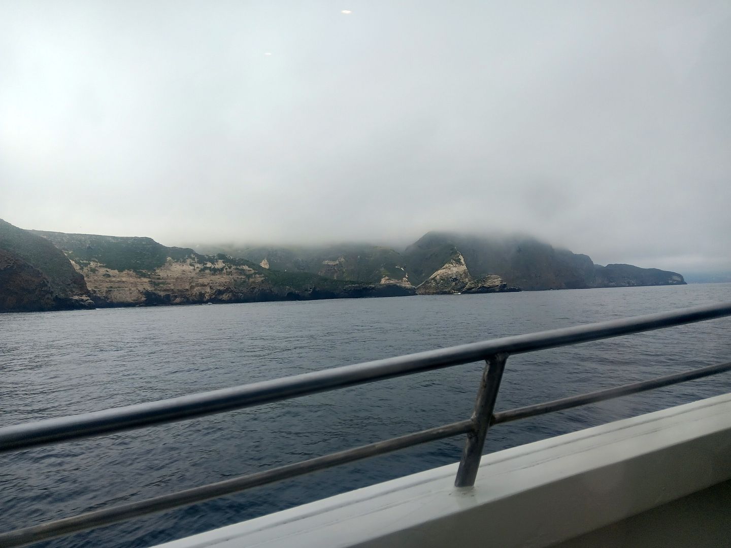
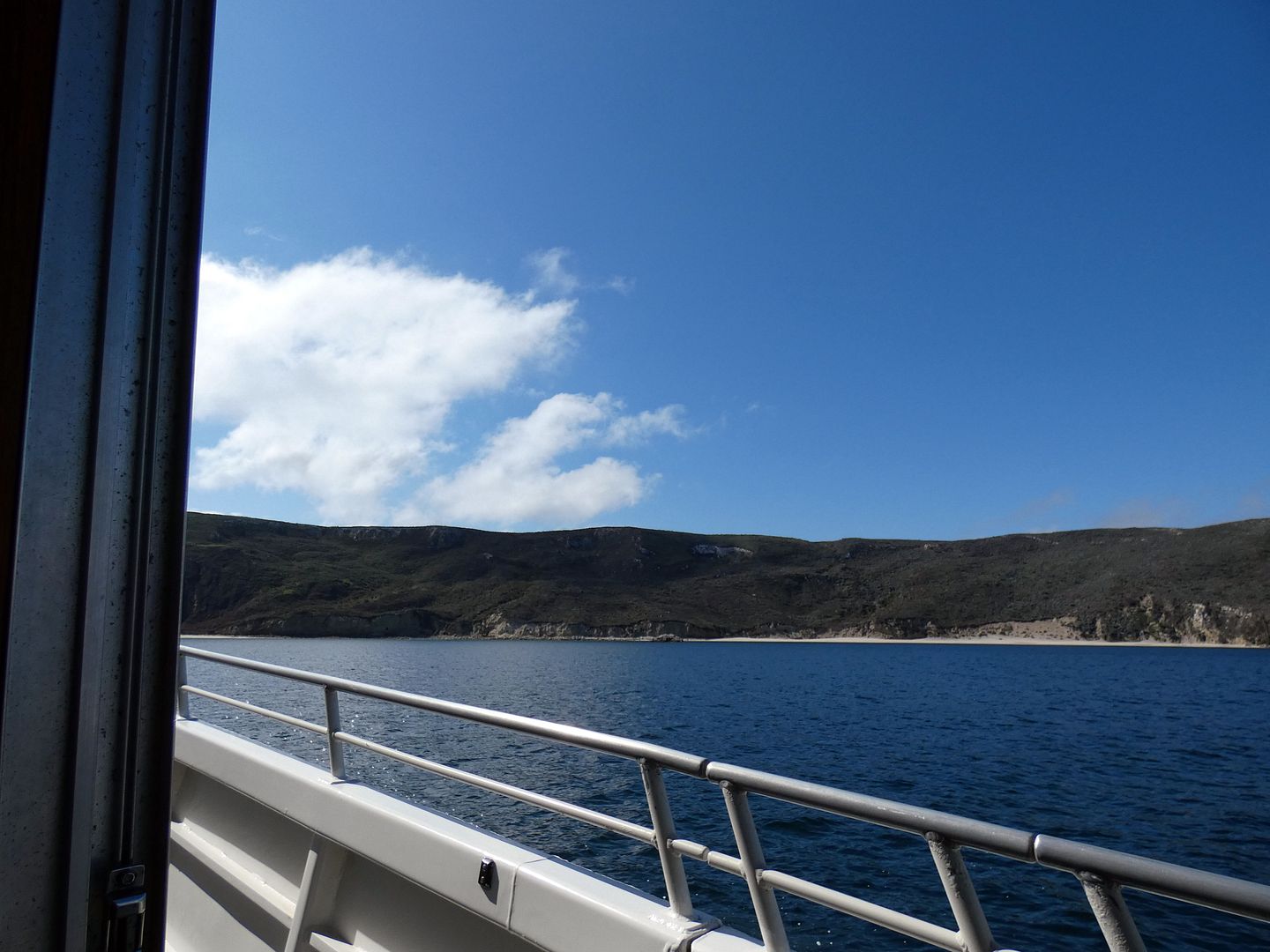
Many things have fascinated me about Southern California, since before I even moved here—but one of the biggest standouts among those fascinations has been Channel Islands National Park. 

And I treasure each opportunity I get to go. 

I'm not talking so much about Catalina Island, and its charming beachside town of Avalon—but the wild isles of the archipelago, the national park islands, like San Miguel, Anacapa, Santa Rosa, and Santa Cruz. (Unfortunately, Santa Barbara Island is currently hard to get to because of damage to the dock.)

 
At nearly 100 square miles, the largest of those is Santa Cruz Island—and its multiple anchorages call for many return trips to see as much of it as possible. 

March 10, 2026

Photo Essay: A Superbloom Brings Death Valley to Life

For all the times I've visited Death Valley National Park—starting way back in 2008—I don't think I've ever seen any wildflowers there. 

I remember hearing about wildflower blooms there during the springtime, but Death Valley isn't the kind of place that you can just decide to visit on a whim. It takes some planning ahead to get a room for the night, and some significant driving to get there from Los Angeles.

I missed the "superbloom" that occurred in 2016, having just started a new job and still bouncing back financially from years of unemployment. I've regretted that for 10 years. 

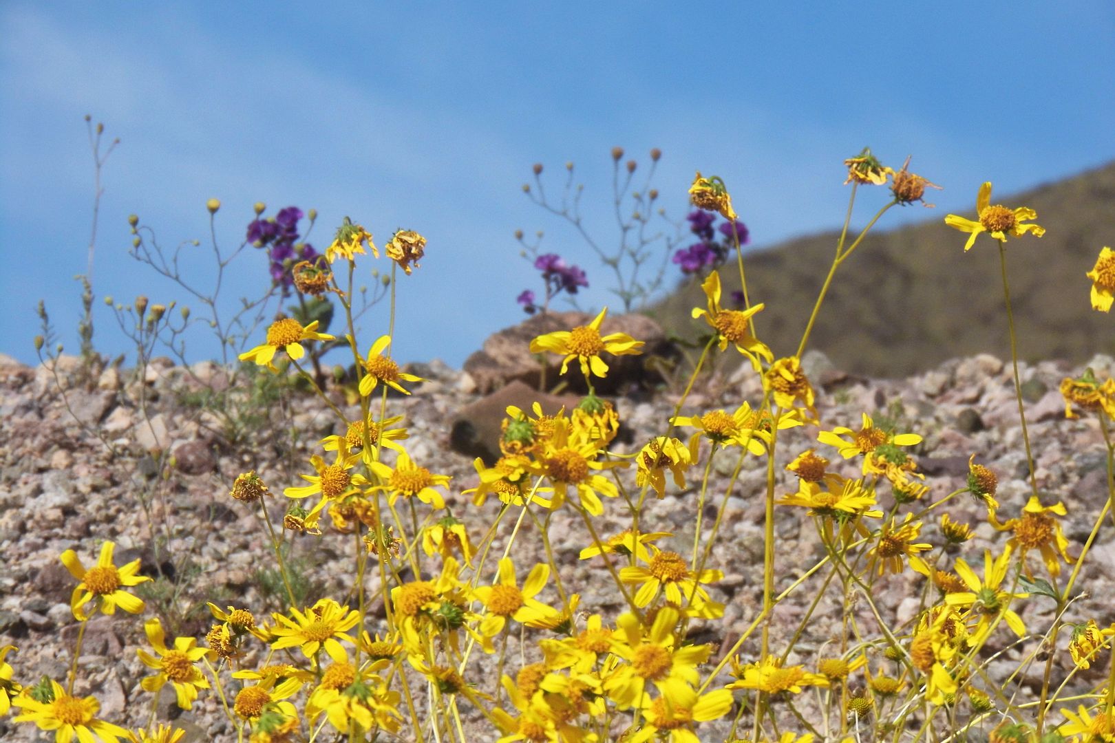
Now, there's a once-in-a-decade bloom happening in Death Valley again—and this time, I was prepared. All the way back in January of this year, I started booking hotels in anticipation of a very good wildflower bloom about the occur. I wasn't sure when it would hit, so just to be safe I reserved a room for every weekend in March, and the first weekend in April. 

Usually wildflower season hits Death Valley later in the spring, following the burst of color that occurs annually—to varying degrees every year—in Anza-Borrego and the Antelope Valley. But this year, the desert environs much farther north of LA caught up to the Southern California floral explosion timing-wise. 

And on the first weekend of March 2026, I'm pretty sure I got pretty close to the peak of the best wildflower bloom that Death Valley has had in a decade. 


May 28, 2025

Photo Essay: A Springtime Make-Good at Tejon Ranch

It was a disappointing spring for wildflowers. The only ones I'd seen were along Highway 178 between Inyokern and Lake Elizabeth—and I hadn't had much time to stop and enjoy them during my drive.

So when I was invited to once again tour Tejon Ranch, I was hopeful I'd see some spring blooms. After all, some of the best wildflower displays I've ever seen have been there. 

Then again, I've also seen Tejon Ranch totally brown and dried up. So there were no guarantees.

 
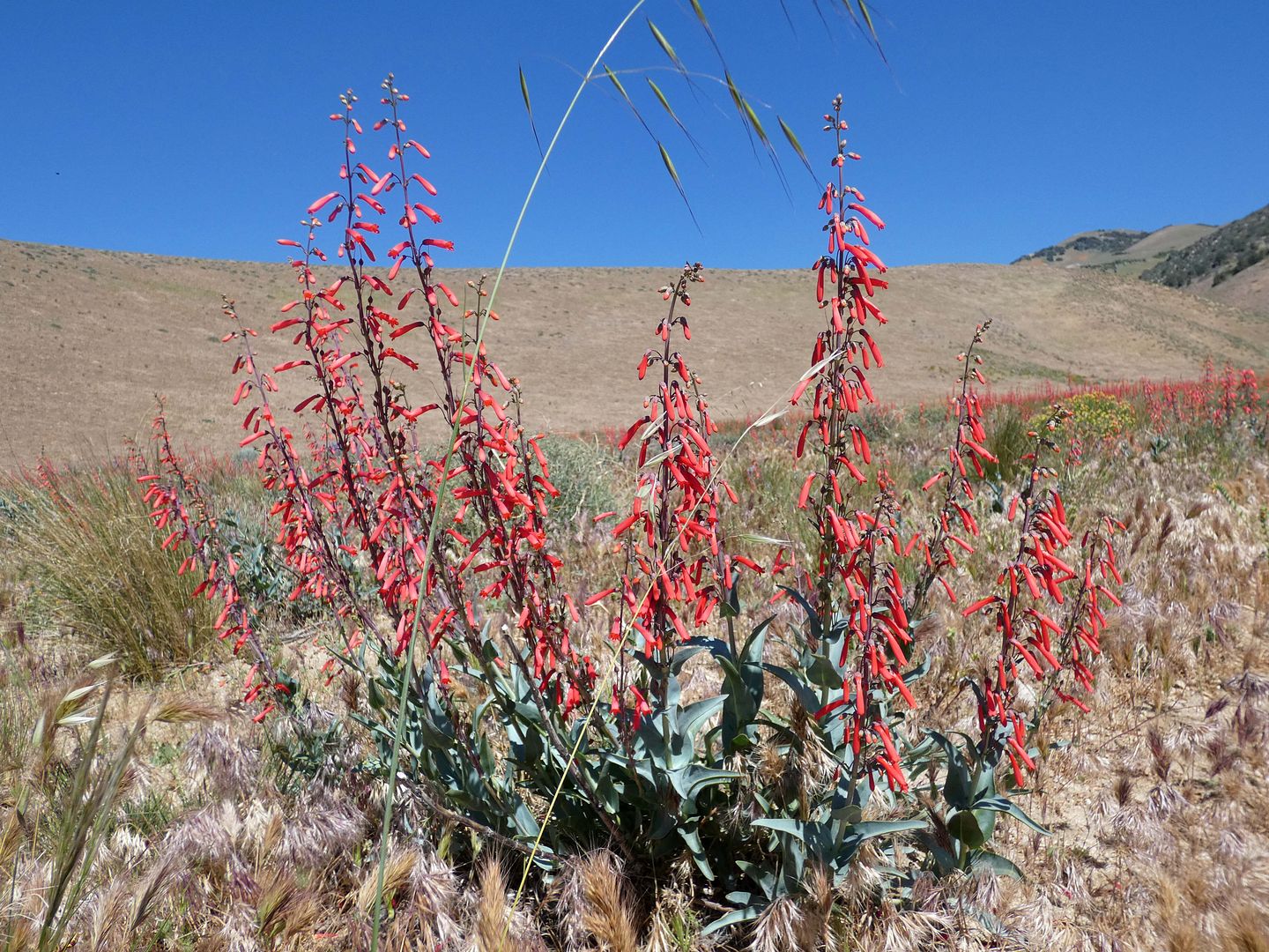
I was pleasantly surprised what awaited us. No superbloom by any means, but plenty of color in a feast for the eyes, like the red penstemon...

May 19, 2024

Photo Essay: An Unnatural Superbloom at a Wildlife Crossing to Come (And Breaking News of a Possible Successful Crossing Into Griffith Park)

The news came out today that there have been some unconfirmed reports of another mountain lion making an appearance in Griffith Park

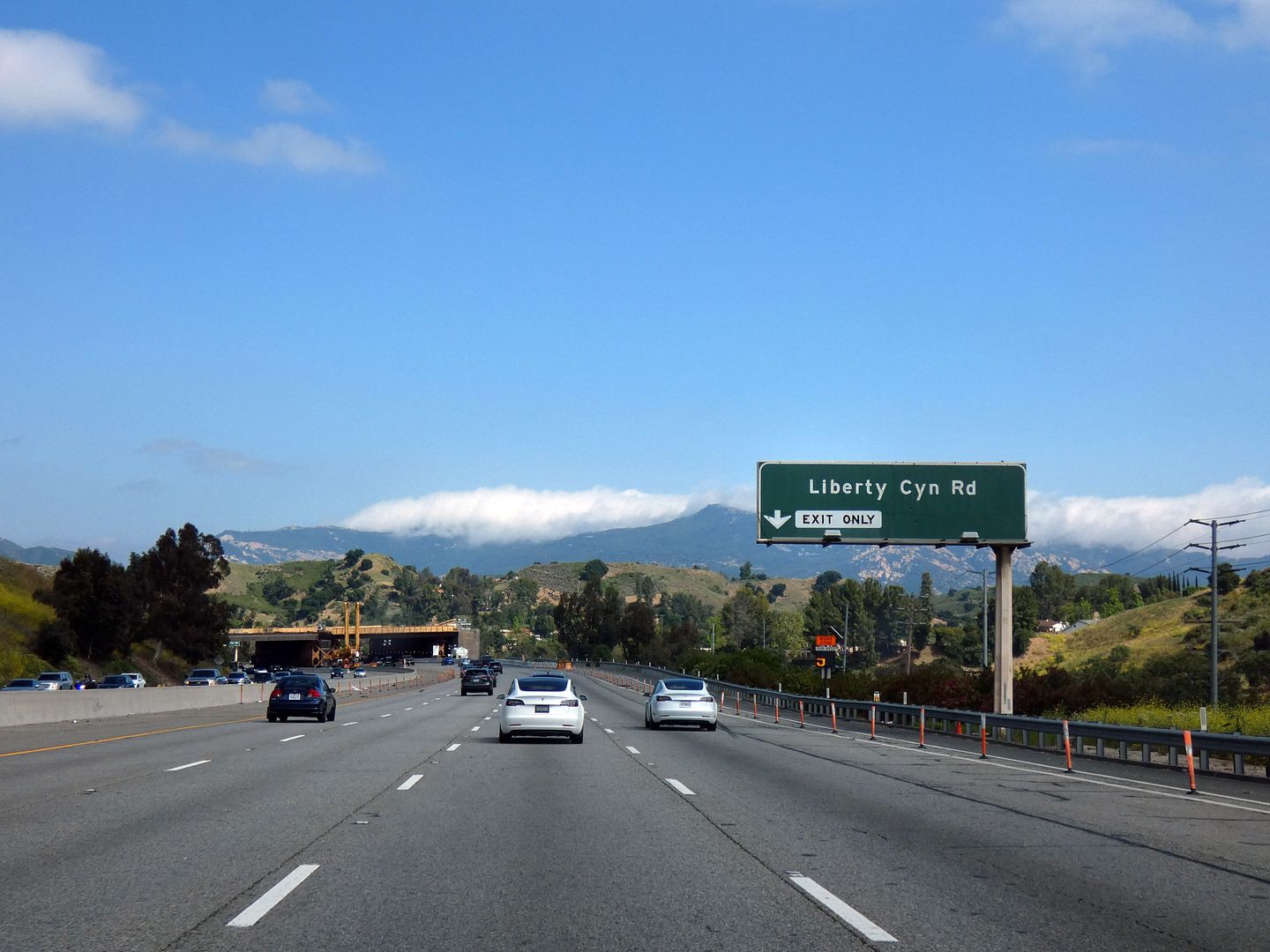
The timing was perfect, as I'd just happened to have taken a tour of the site of the Wallis Annenberg Wildlife Crossing under construction over the 101 Freeway at Liberty Canyon in the Santa Monica Mountains in Agoura Hills, California.


April 08, 2024

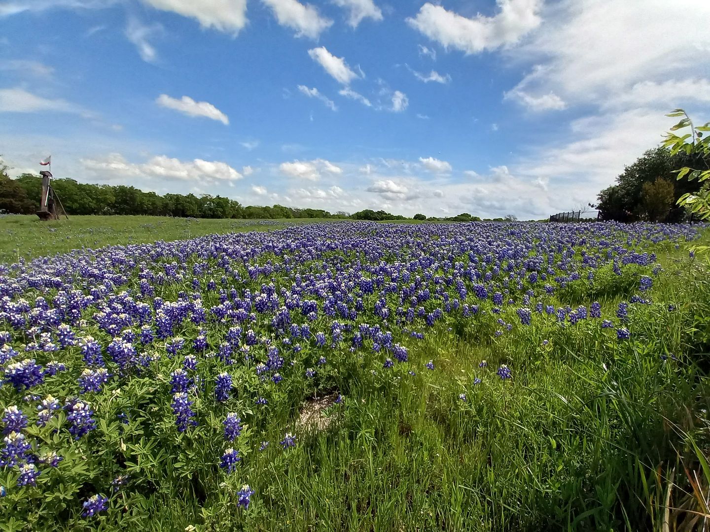
Photo Essay: A Texas Superbloom of Bluebonnets in April

Had I known how spectacular the Bluebonnet Trail was in Ennis, Texas, it would've been on my bucket list

 
Even after I'd landed at DFW—and been looking out of the backseat window of my rideshare cars driving around to my various destinations—I hadn't yet realized what a big thing bluebonnets are in Texas, where all six species of them have served as the state flower since 1971.

November 18, 2023

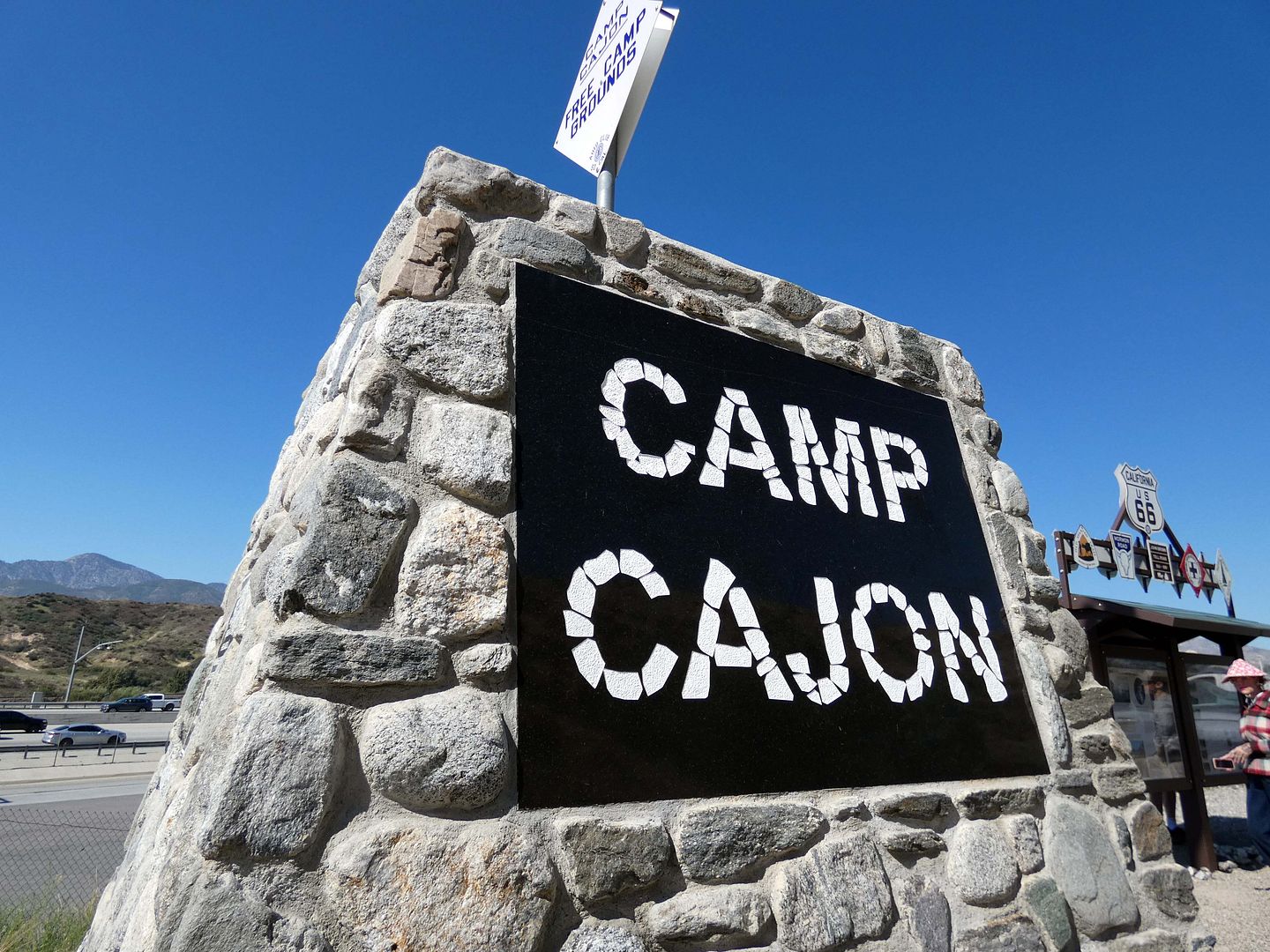
Photo Essay: Tracing the Remains of the "Gateway to Southern California" at Cajon Pass

"I'm going to take a tour of the former Camp Cajon," I told my friends, when they asked why I had plans in the Inland Empire. 

"What was it?" they asked. 

"I'm not sure, so I guess I'll find out!" 
 

April 29, 2023

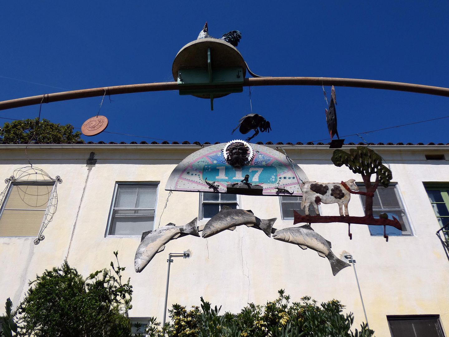
Photo Essay: Earth Day at Los Angeles Eco-Village

Some people live wherever they can find a place they can afford—even if they have nothing in common with their neighbors.

I have been that person my entire adult life, surrounding myself with strangers and mostly hiding from them inside my apartments and avoiding them in the hallways. We have not been bound to each other by a shared ethnicity, religion, or set of values. 

Just a similar budget and vague geographic preference. 

But other people live in intentional communities—where everybody's working towards the same goal and more or less living there for the same reason.
 
 
Is this a euphemism for "commune" or a modern-day version of a utopian community? I haven't quite figured that out yet. But it's the basis for the Los Angeles Eco-Village on LA's Bimini Place—a kind of co-op that reuses old buildings to provide affordable housing and eco-centric services and support to its residents. 

April 19, 2023

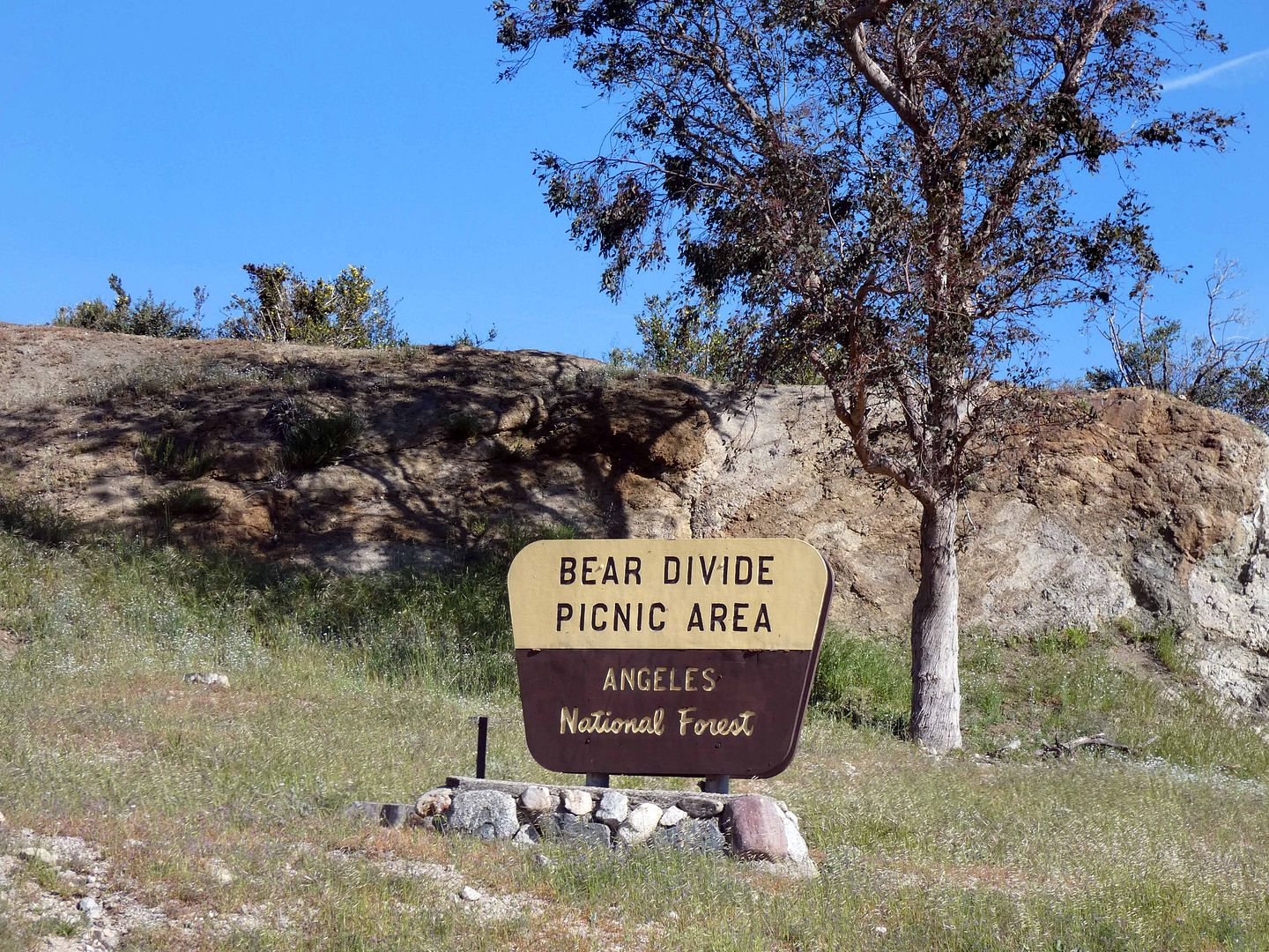
Photo Essay: The Mysteries of Bear Divide, LA's Newest Bird Migration Hotspot

They say that migrating birds have a natural urge to be on the move—one that's triggered by hormones that respond to fluctuations in light. (Think of how darkness triggers the natural release of the hormone melatonin in humans, which is what makes us sleepy at night.)

It's called "Zugunruhe"—and although it can be induced in a lab, we still don't know exactly why it happens. 

There are explanations of rising or dipping temperatures that could cause birds to fly north for the summer or south for the winter. Some theories suggest the migration is dictated by dwindling natural resources, like food and habitat (including nesting areas).

But beyond the question of why, there's an even bigger conundrum: How do they know when and how and where to migrate?

 
Those are some of the multitude of questions that researchers are trying to figure out the answers to at Bear Divide in California's Angeles National Forest. 

April 16, 2023

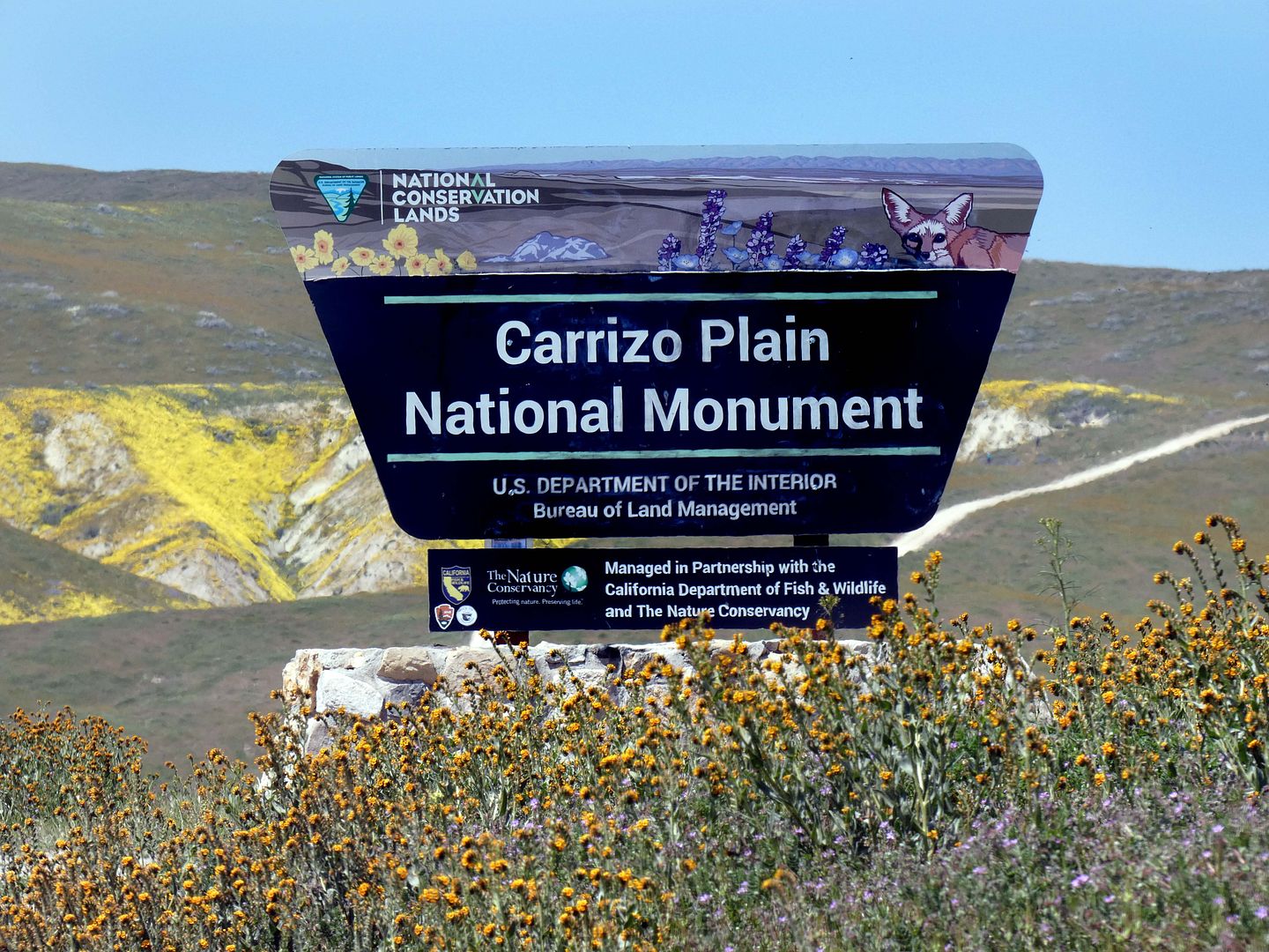
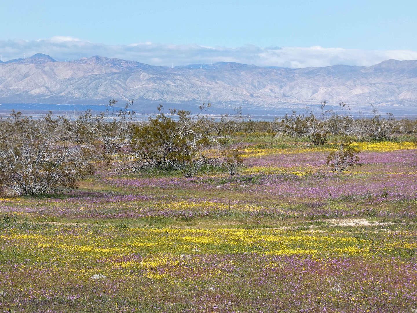
Photo Essay: Wildflower Boom Time in the Golden State's Carrizo Plain

"Have you been to Carrizo Plain?" he asked me. I answered, "Yup, a couple of times." (Actually it was three.)

"Of course you have," he said, because he knows me well enough. 

The last time I drove up to California's Carrizo Plain National Monument—the address says it's in Santa Margarita in San Luis Obispo County, but feels much more Central Valley/Kern County—was during the "superbloom" year of 2017. 

 
And although SoCal isn't technically experiencing a superbloom per se (although that term is entirely subjective), we've had a wet enough winter to warrant a return visit to see what kind of wildflowers had erupted this spring.

April 09, 2023

Photo Essay: A Delightful Discovery at the End of a Failed Day

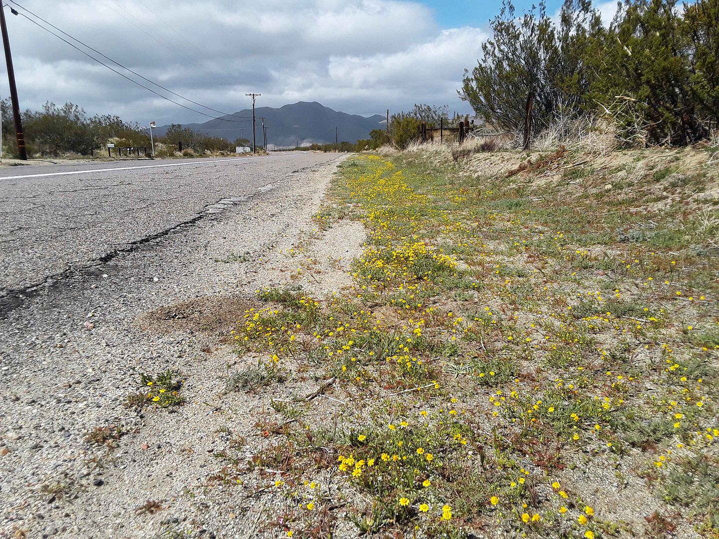
With no other plans Easter weekend, I set off on a vehicular adventure to try to find some wildflowers. It's not really a "superbloom" year—certainly not compared to previous years—but scattered reports have indicated some really nice areas to spot some blooms.

I, however, mostly failed. Unless you count hillsides full of the small yellow blossoms of black mustard plant, a dastardly invader of California native plant habitat, and a big contributor to nasty wildfire seasons.

But I'd driven relatively far, crossing into three other counties (besides the one I live in), so I wanted to make one last stop before I headed home in defeat.

And that's when I found a delightful surprise, hidden in the Anaheim Hills of California's Orange County. 


March 26, 2023

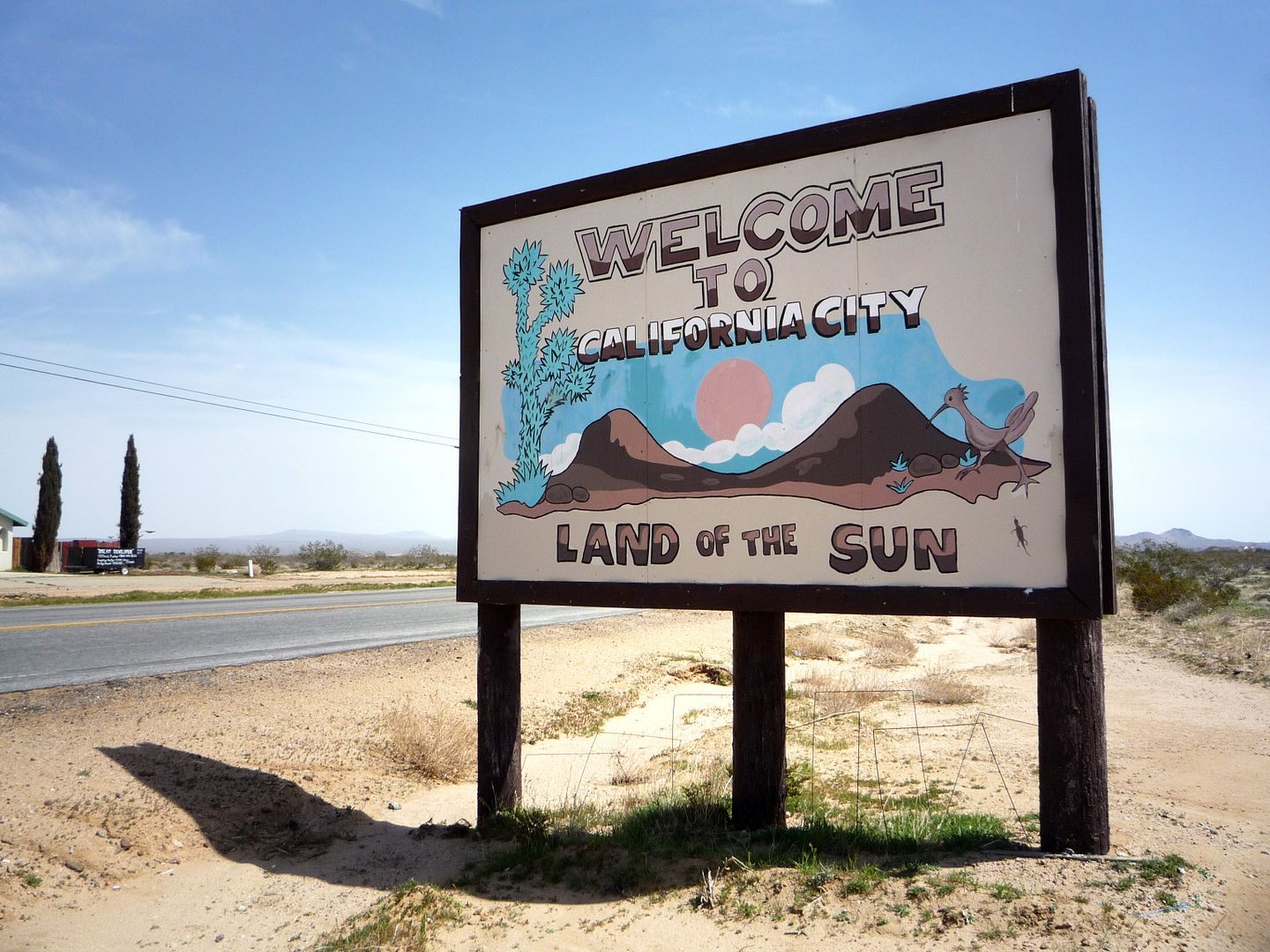
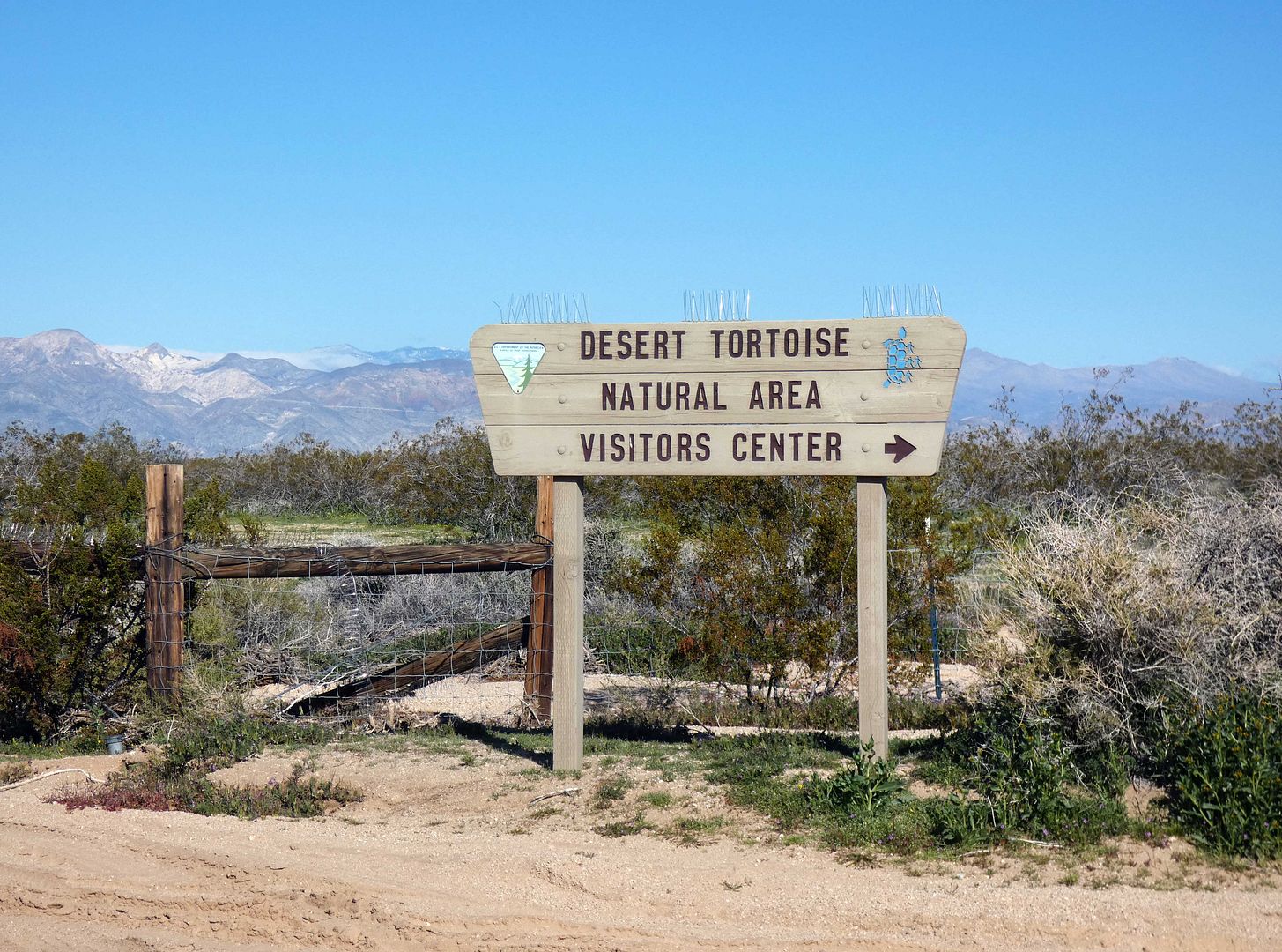
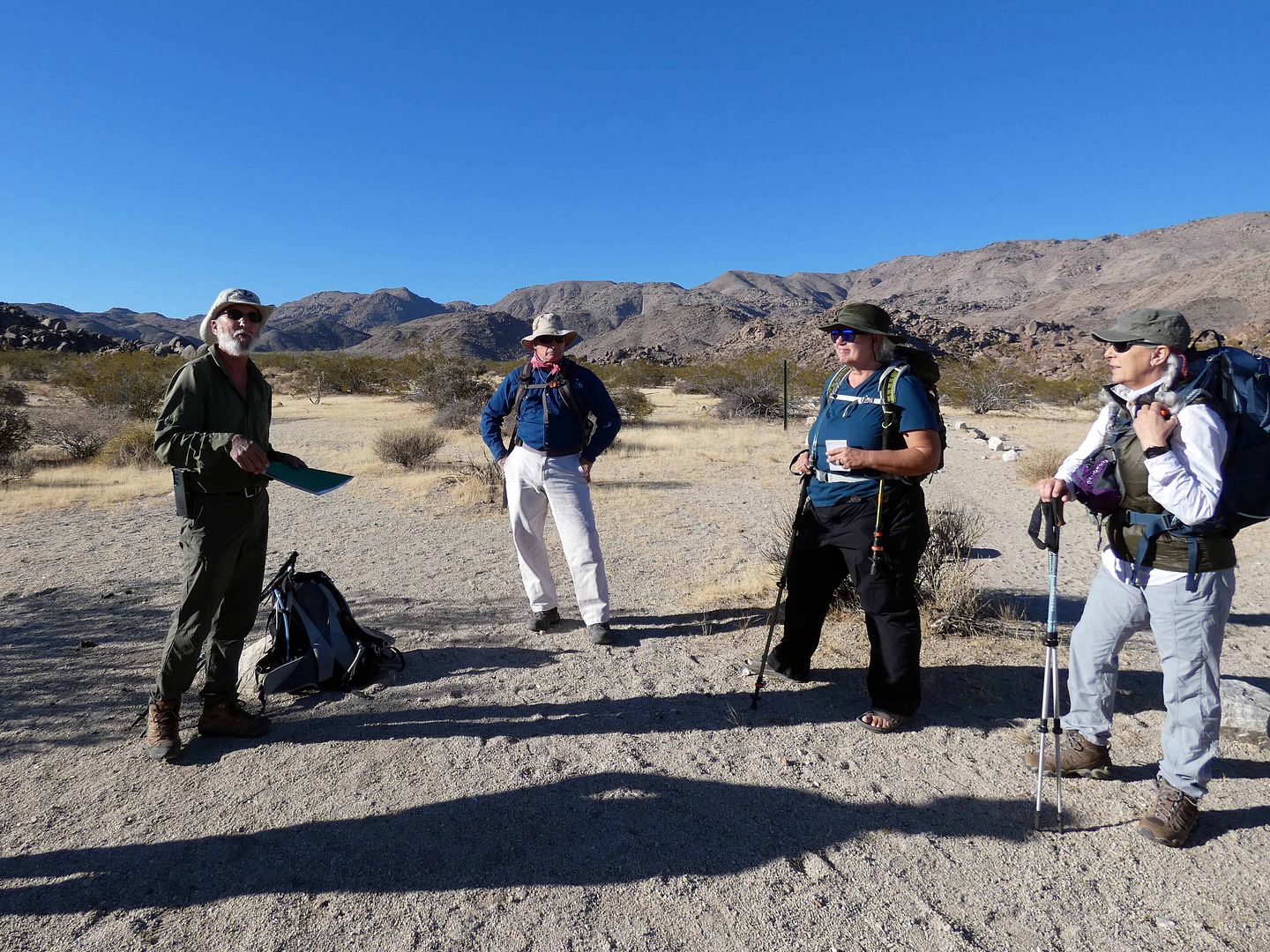
Photo Essay: Celebrating the 50th Anniversary of the Desert Tortoise Research Natural Area, California City

I haven't had much reason to return to California City since I first visited in 2010. 


But on a clear Saturday morning after the wettest winter weather I've experienced since moving to Southern California in 2011, it seemed like a good idea to drive a couple of hours north to the Mojave Desert...

 
...specifically to celebrate the Desert Tortoise Research Natural Area's 50th anniversary. 

February 13, 2023

Photo Essay: Wildflower Season Begins at Hemet Maze Stone

I didn't plan on having much time to kill in the town of Hemet, California this past weekend. But I also didn't plan on arriving late to my 8 a.m. bird walk on privately-owned wetlands and being locked out after getting up at 5:30 in the morning and driving two hours.
 

But so goes a life of adventure, when disasters turn into happy accidents—like stumbling across my first wildflower field of 2023, located on the road to the Hemet Maze Stone, where my morning took an unexpected turn.

November 13, 2022

A Desert Failure, A Desert Victory (Or, A Tale of Two Mines)

The thing that got me really hiking through Joshua Tree National Park back in 2009 was the fact that it was the only way to get to the Wall Street Mill site

Back then, I was in shape enough and confident enough—or stupid enough—to trek out there by myself. 

But my hiking abilities have really declined since my car accident in 2014—and so I've had to curtail my adventures and stick to easier hikes, usually with groups. 
   
So I was excited to join the Desert Institute on a field trip back into the park—this time, near the Twentynine Palms entrance—to explore a couple of lesser-known mine sites. 

October 19, 2022

Photo Essay: Exploring the Navy's Explosive Island Across the Santa Barbara Channel

I'm a completionist. So of course I've been tracking how many of California's Channel Islands I've been to—and how many I can eventually get to. 

I've already been to Catalina, Santa Rosa, Anacapa, Santa Cruz, and San Nicolas. (Santa Barbara is closed until they can fix the anchorage, and San Clemente is off-limits as a Navy station.)


And as of last weekend, I've crossed yet another off my list: San Miguel. 

March 27, 2021

Photo Essay: The Delightfully Uncrowded Bloom at Anza-Borrego Desert State Park

Anza-Borrego hasn't had a "superbloom" since Spring 2019—but I still wanted to go check it out this year, just in case I could find some blooms.
 

September 21, 2020

Photo Essay: A Preserve of Wetlands and Willows In the South Bay's 'Garden Spot' City

The Gardena Willows Wetland Preserve in the South Bay city of Gardena, California is only open on the second Sunday and fourth Saturday of the month—and after months of pandemic closure, it's now reopened by advance reservation only.
   
It's easy to miss, with the Meadowlark Manor senior housing tucked into its corner, and its entrance tucked onto the corner of the city's Johnson Park. 


Upon entering the preserve, you take the North Loop trail going clockwise, starting to your left...


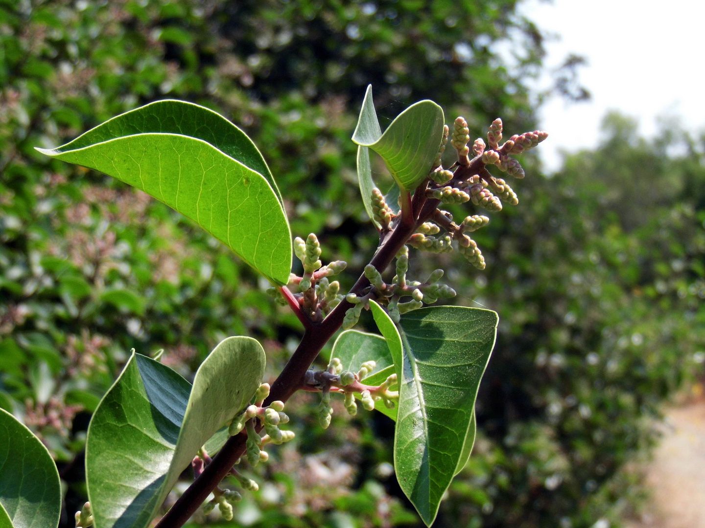
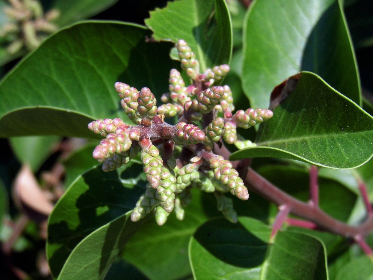
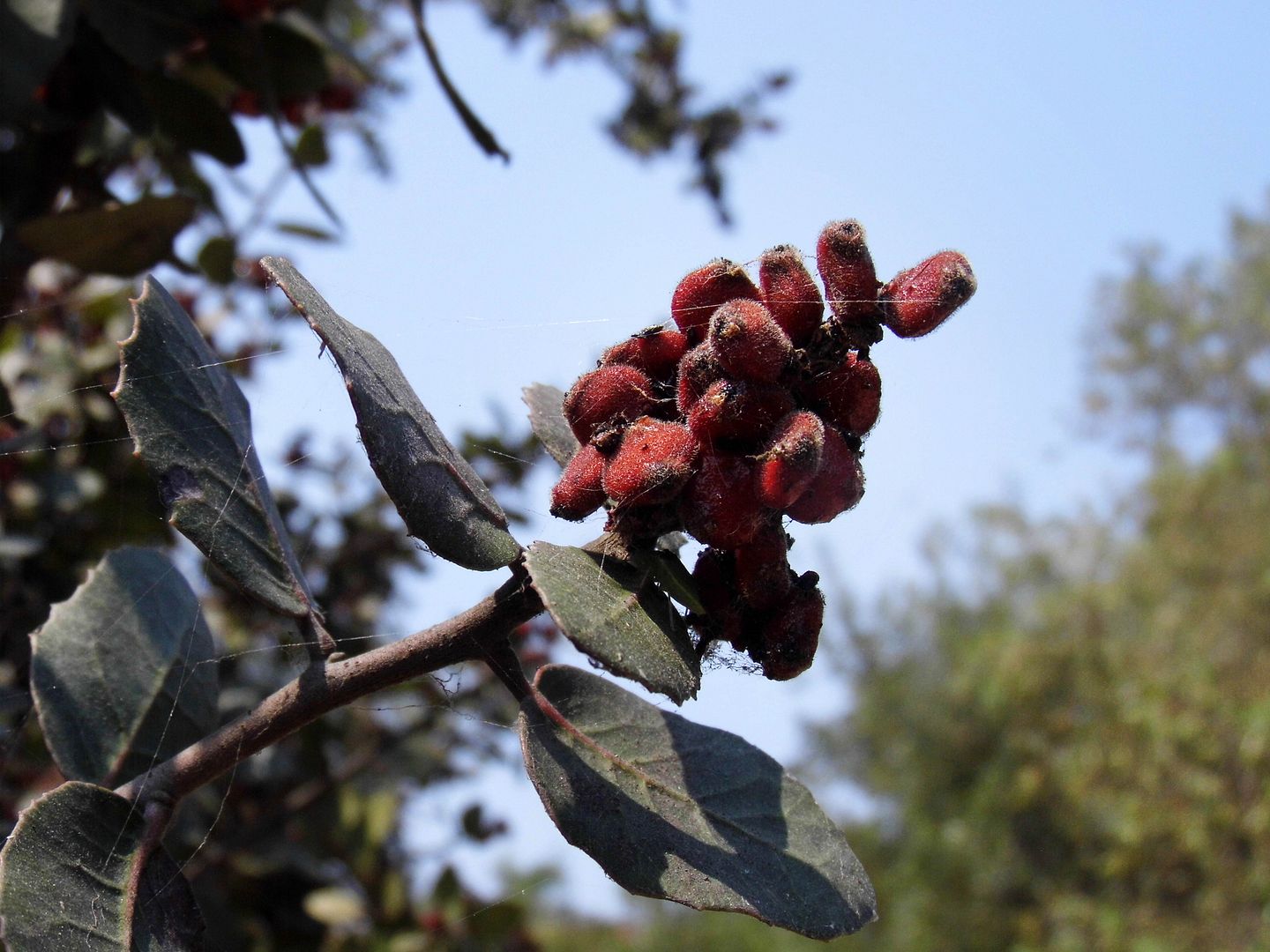
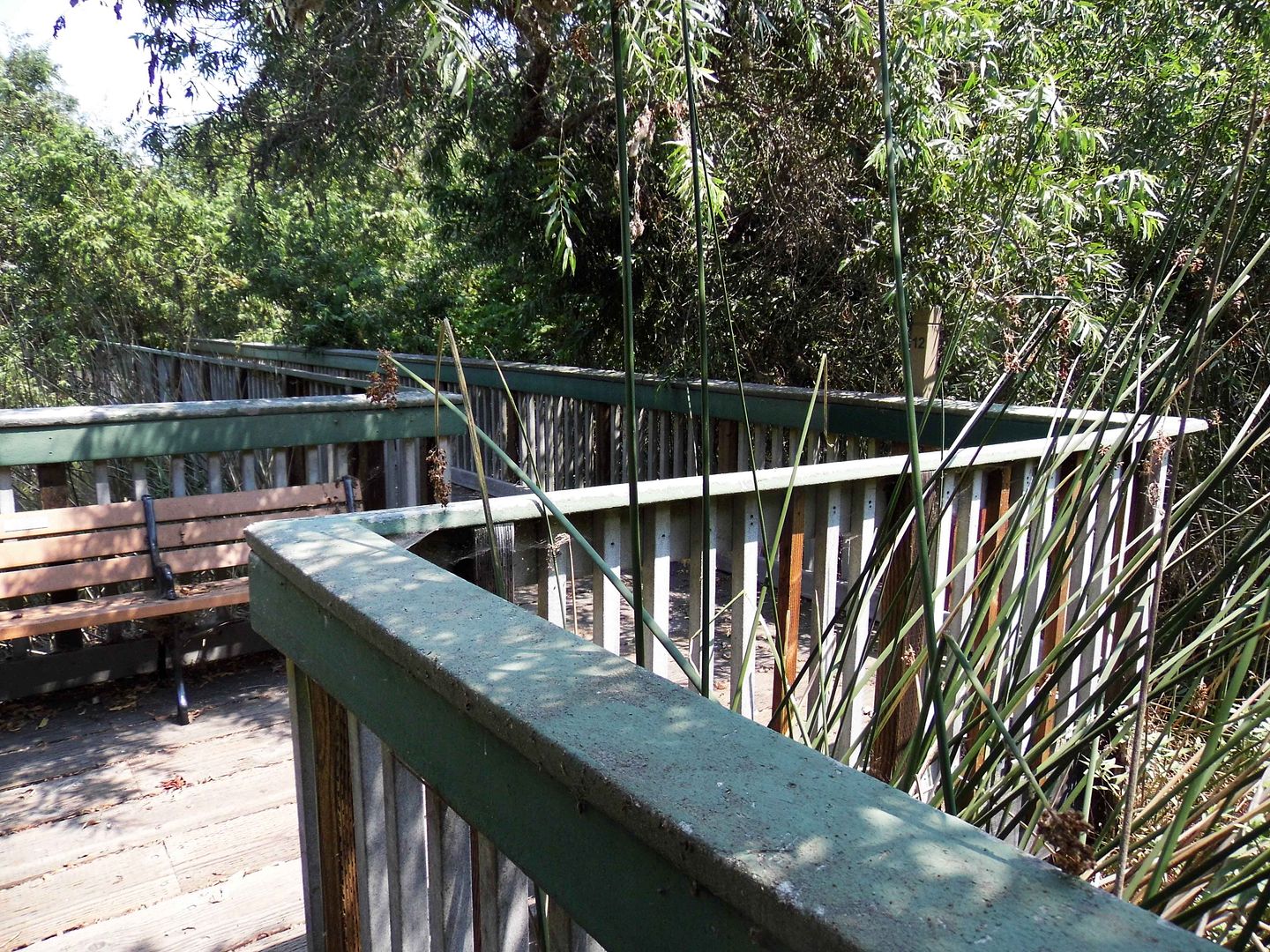
...past laurel sumac and an observation deck enshrouded in overgrowth...
 

...and you quickly forget you're anywhere near the 91/110 freeway interchange (or the LA metro area for that matter). 

 
Gardena may have gotten its name for being a "garden spot" (a factoid somewhat under dispute), but most of the city looks nothing like the land that the Tongva people lived off of—and that drew Spanish and Mexican rancho owners like the the Dominguez and Rosecrans families in the 19th century. 


But what's now hidden—though visible within "The Willows"—is marshland that's part of the 110-square-mile Dominguez Watershed. It was once fed by a "river" that got concretized into a flood control canal now known as the Dominguez Channel. 


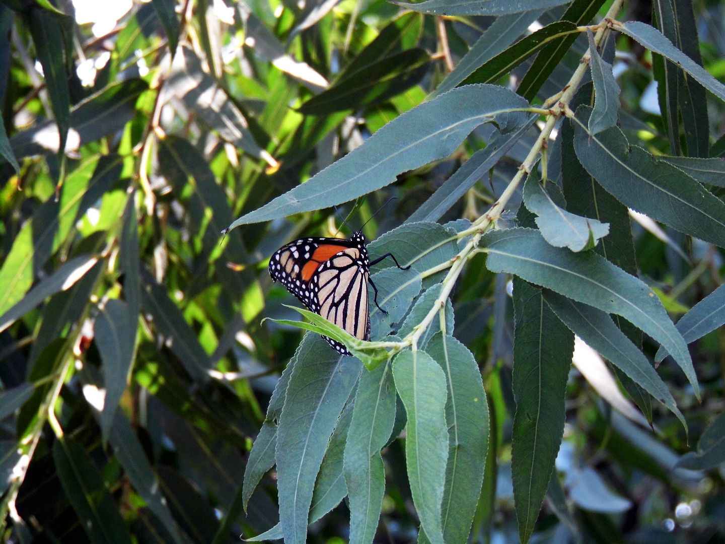
Fortunately, this last remaining bit of the Laguna Dominguez Slough (or "swamp") is teeming with life—and not just monarch butterflies. 
 
 
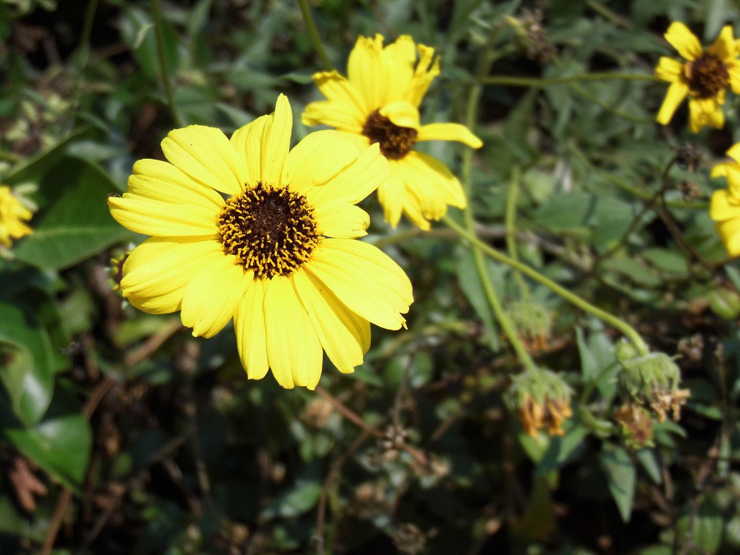
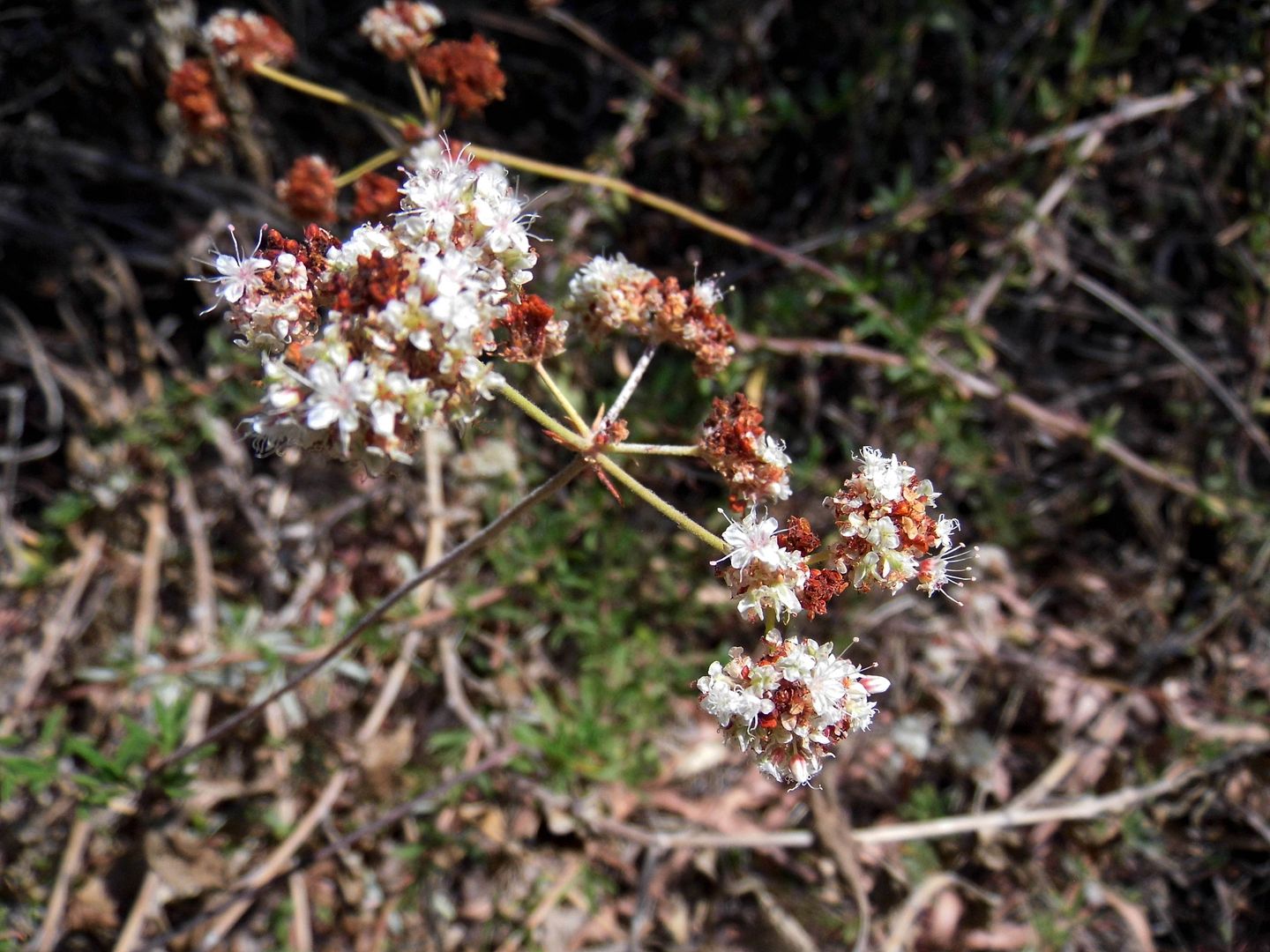
On a hot and steamy August morning, there was plenty of greenery to behold—plus not-yet-dormant buckwheat and still-thriving wildflowers. 

 
It's amazing that a region that struggles with drought would spend so much time cutting off its water sources. 


The Willows nearly got filled in during the mid-1970s, when the City of Gardena floated such ideas as building a convention center there. 

 
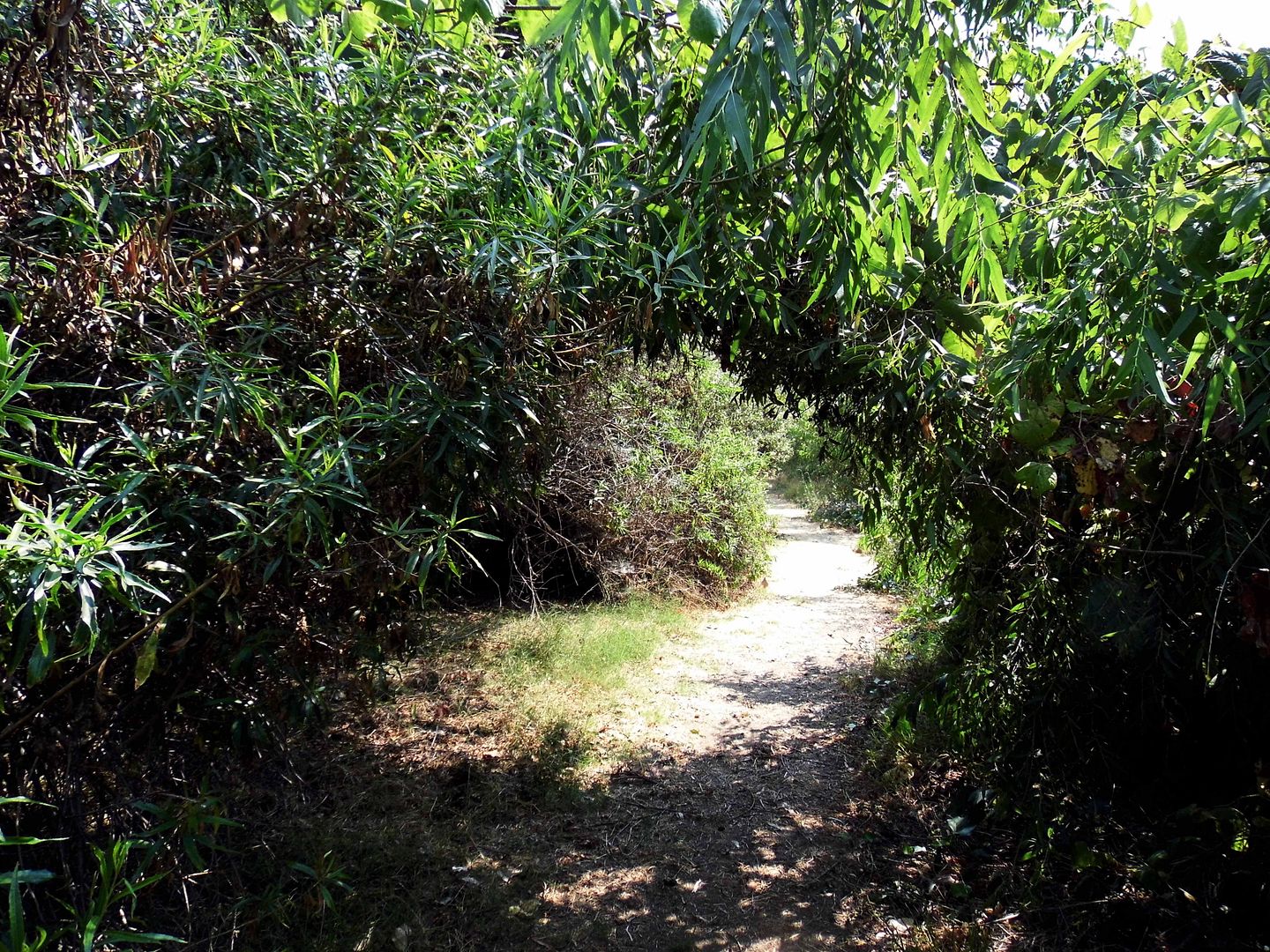
Today, its 9.4 acres of wetland includes a riparian forest of water-loving trees (including multiple species of willows), shrubs, and other vegetation that form tree tunnels and a shady canopy for local critters and visitors alike. 

 
And besides the flower blossoms, oak acorns, willow seeds, and unfallen leaves, there are also unexpected outcroppings of fruit...

 
...like the native and ripened lemonade berry, whose flavor lives up to its name. 


During normal times, you'd be able to learn about all these botanical wonders and more at Mother Nature's Backyard, a nature center located on part of The Willows' 4 acres of upland terrain. 
 
 
But with it closed for COVID-19, you've got to just keep going to complete the loop...

 
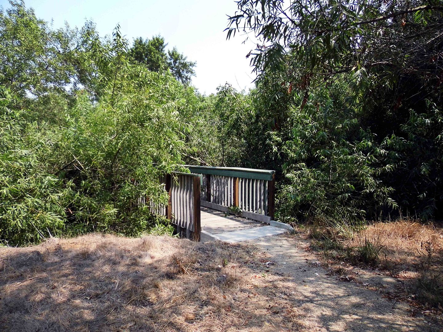
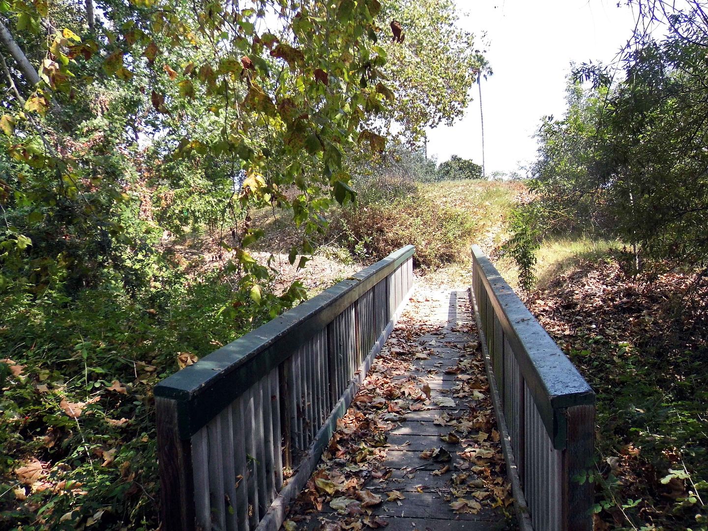
...crossing the Zigzag bridge (which hopefully keeps evil spirits away like it's supposed to)...

 
...and finishing up the South Loop Trail at the Stream Bridge. 


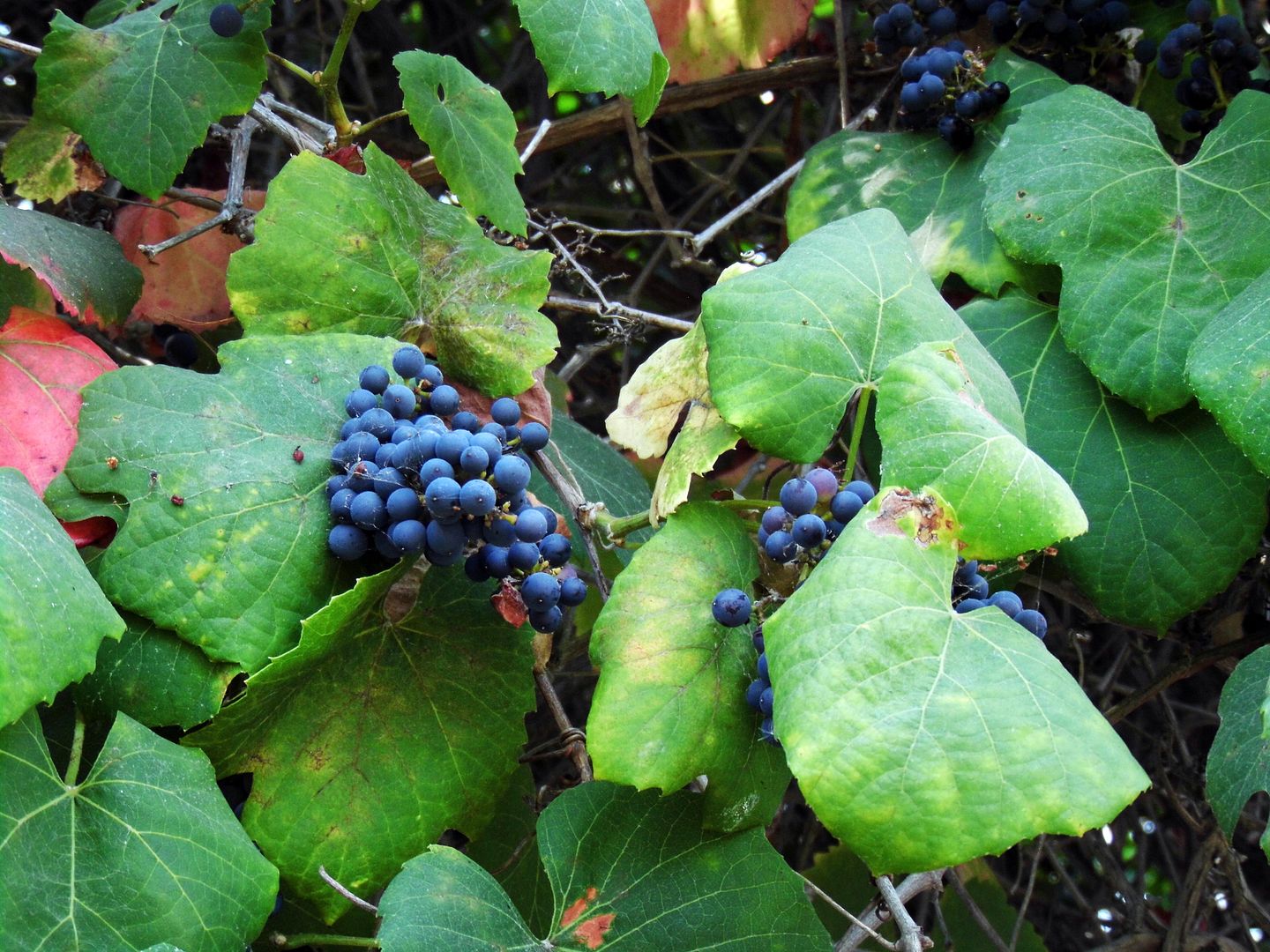
On my way into the Willows preserve, I was rushing too much to notice the wall of hybrid grapevines, known as "Roger’s Red" grape (Vitis californica "Roger's Red"), along the entrance path. But fortunately, my exit was much more leisurely—so I got a good look at the wild purple grapes and the green leaves that hadn't yet turned their fall red color. I hear that the red foliage is spectacular once it turns. 

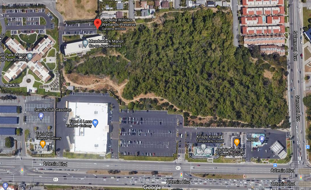
Google Satellite View

As I was leaving, I couldn't quite believe where I'd just been—though while inside the preserve, I did catch glimpses of the traffic running up and down Vermont Avenue. But watching that urban scene through the fence was like peeking into some other world that I'd managed to escape—and somehow no longer seemed real. 

We've paved over so much. It's easy to forget what's underneath—like the the underlying riverbeds channelized by concrete. 

Even our green spaces are industrialized—built environments consisting of parking lots, playground equipment, artificial turf, manmade ponds, and other facilities. 

I'll take a little corner of wild land over a planned park any day. 

Related Posts:

June 09, 2020

Peaking Poppies In a Pandemic

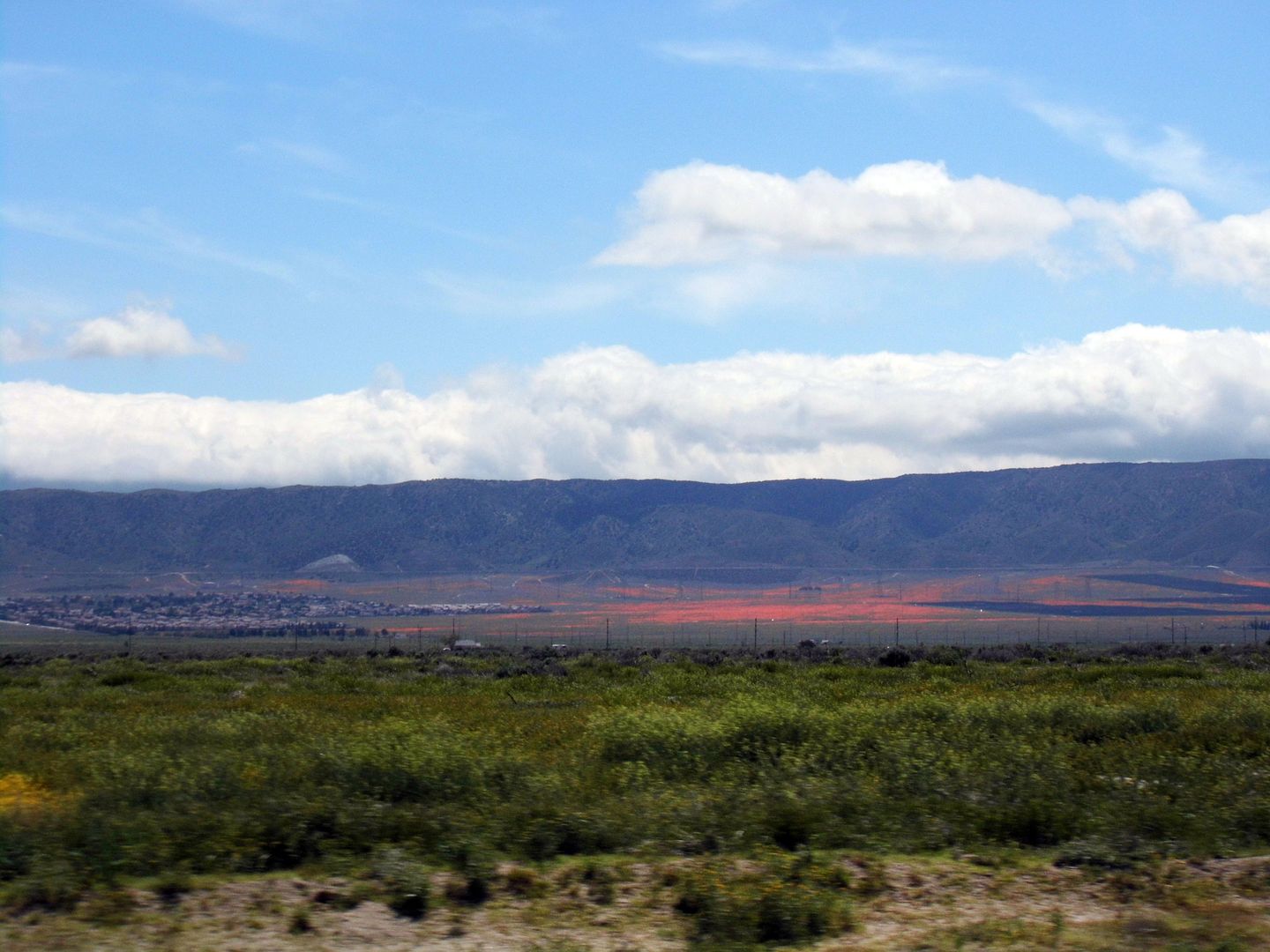
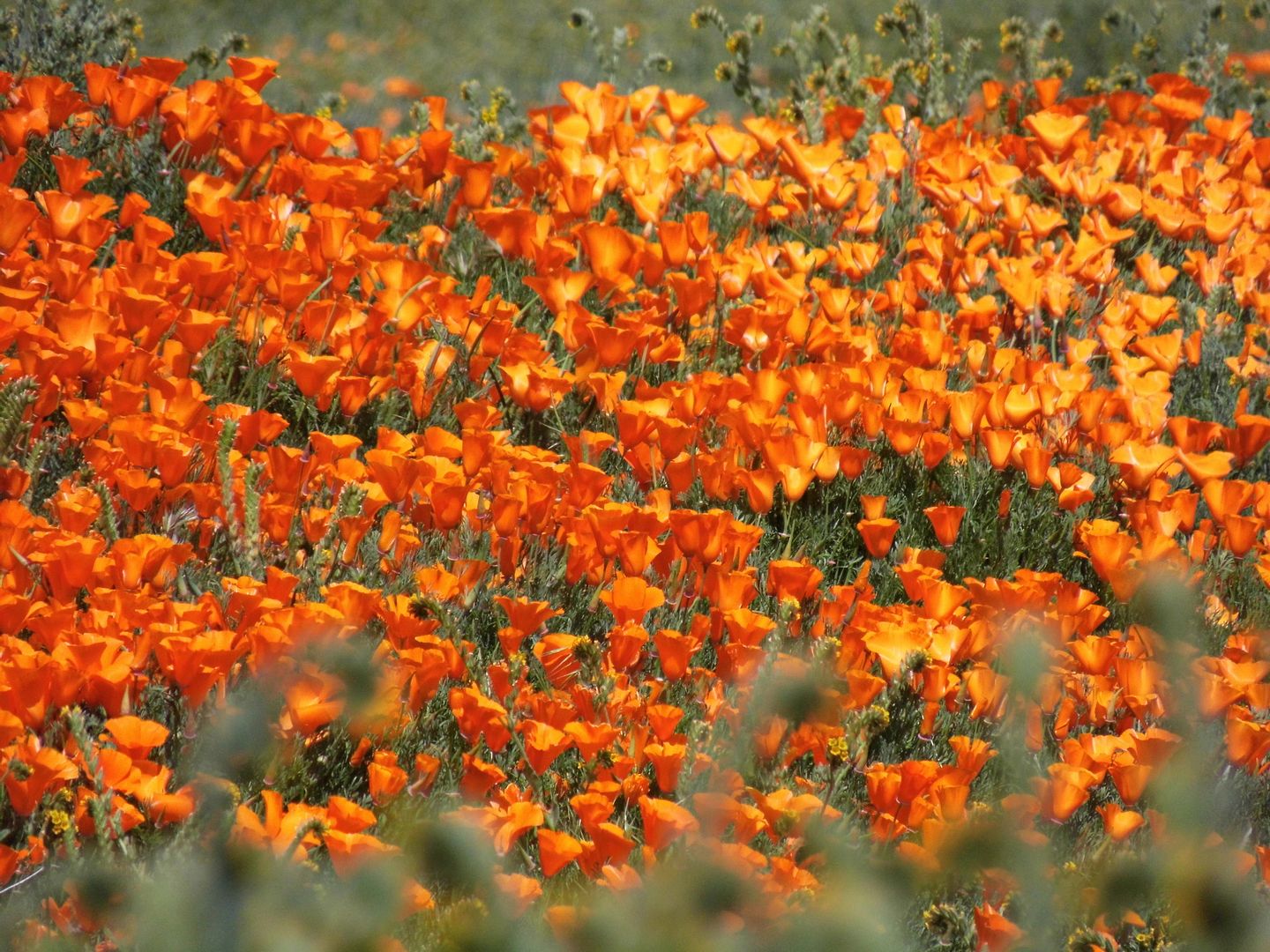
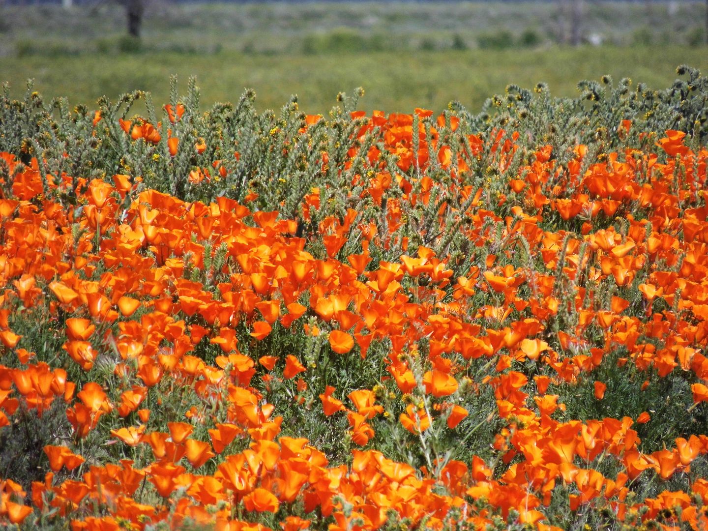
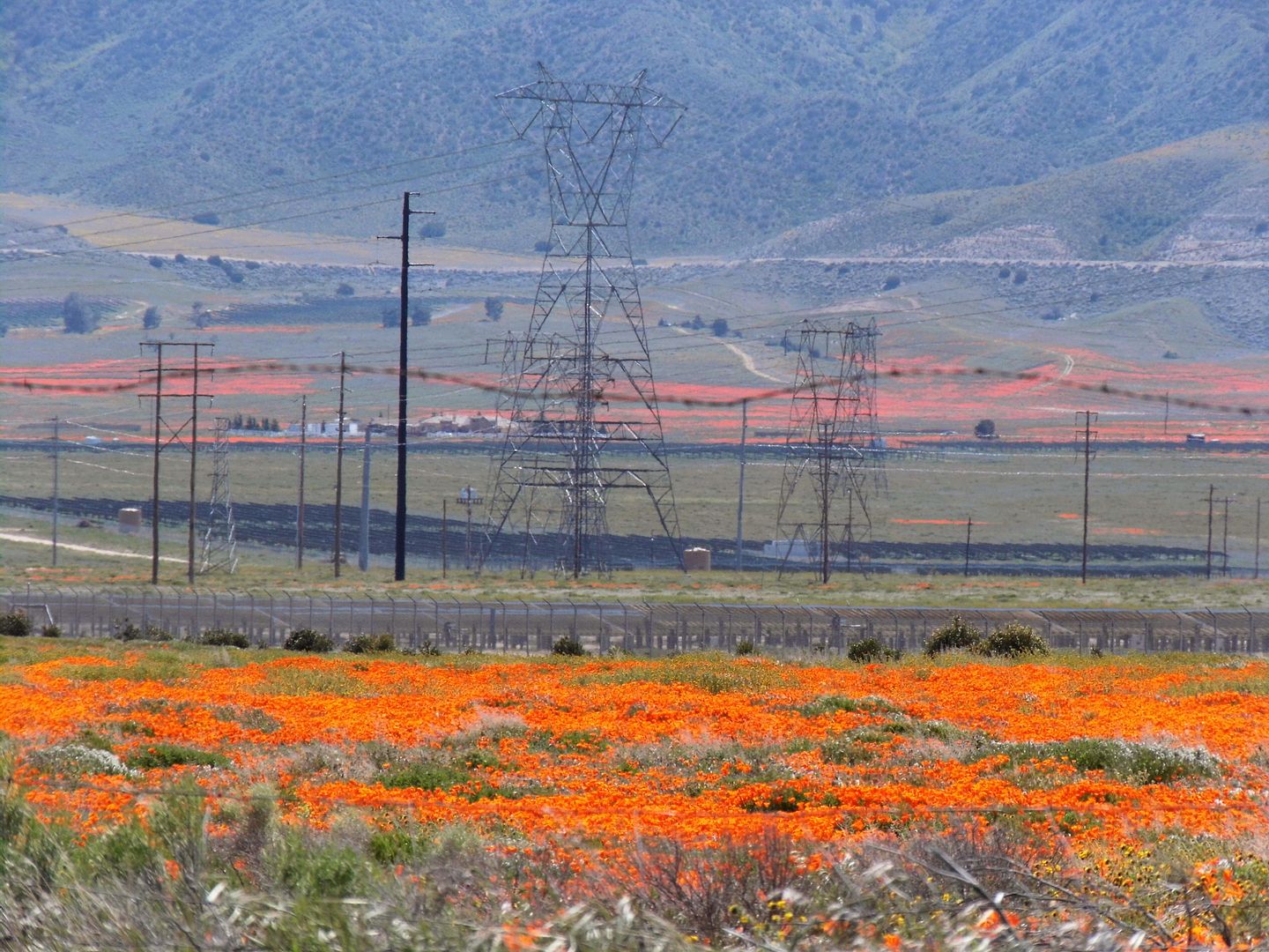
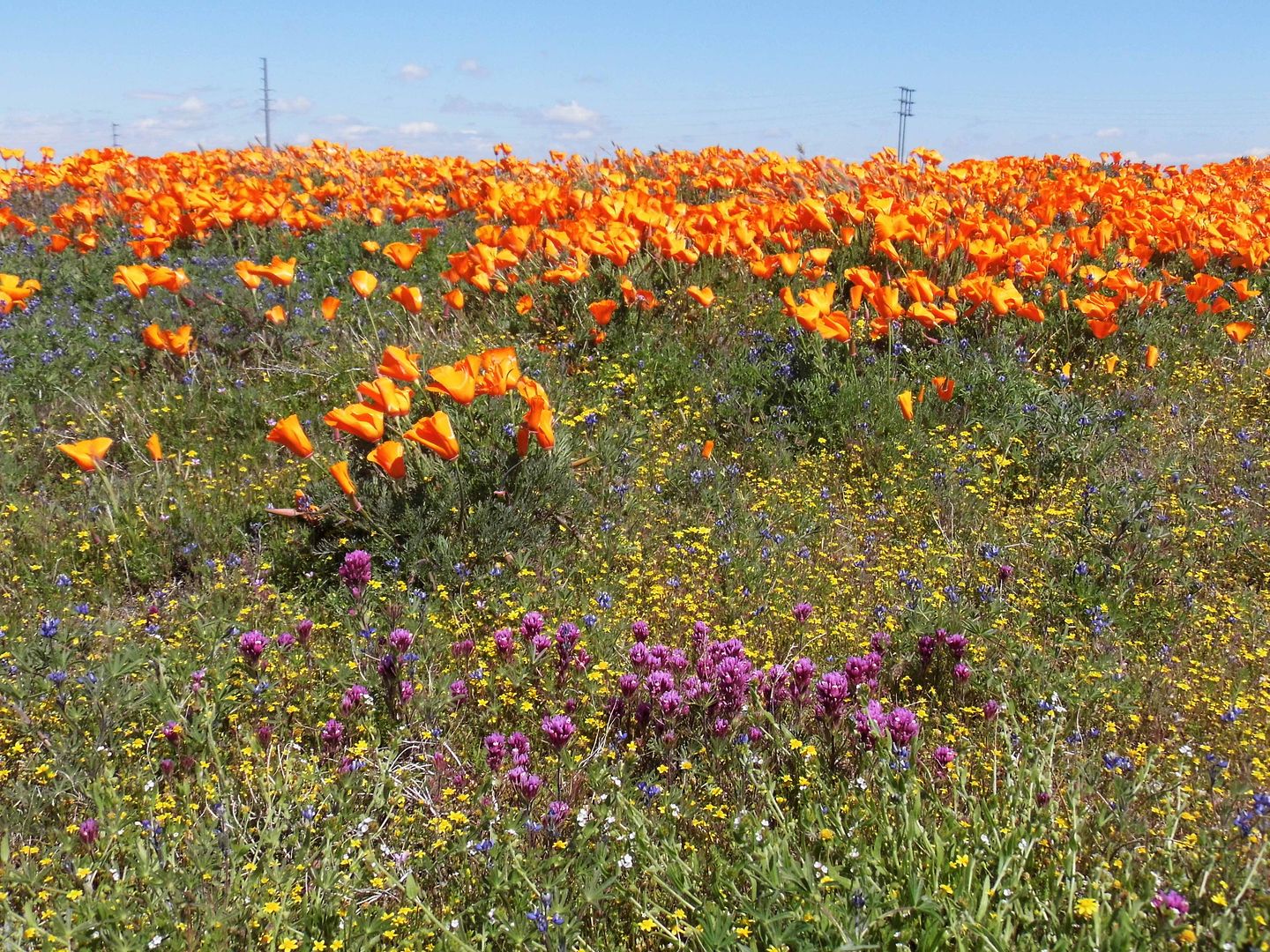
We had a mini superbloom in the Antelope Valley this spring—a late bloom boom that managed to stay incredibly intact because of the coronavirus "safer at home" guidance.


Maybe I should've stayed home. Maybe I would've been "safer" there. But after weeks of having my calendar curtailed, I realized there was something that COVID-19 hadn't canceled—and that I missed very much.


Nature had continued—and, in fact, thrived—without us.


I just wanted to see it in person—not on a live webcam from the Antelope Valley California Poppy Reserve's website, not from aerial photos or satellite images from space.


So, not knowing exactly where to go—where I could go, where I'd be allowed to go—I just drove to Lancaster, California in the direction of the state natural reserve, hoping to see a sign somewhere in the distance.


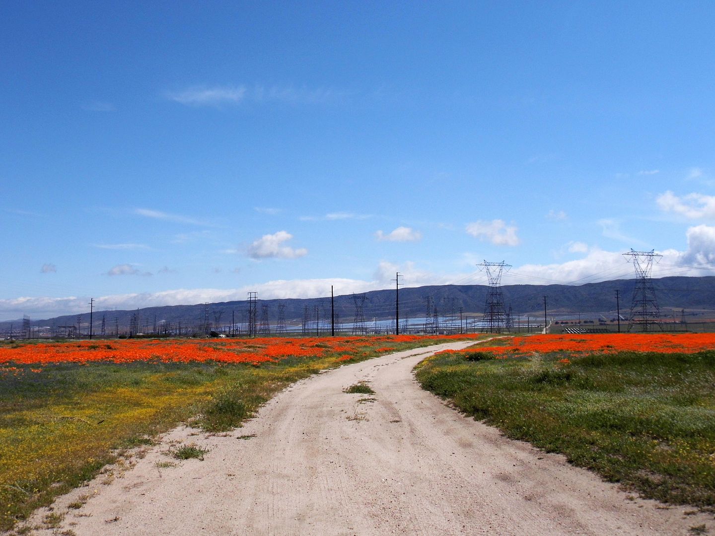
And, like last year, the Antelope Valley really delivered. I just drove with the orange straight ahead, which formed an artificial horizon in the foothills to help with wayfinding wayfarers.


The navigation was spot-on, it turned out—because I ended up on a dirt road with a stripe of orange cutting straight across it.


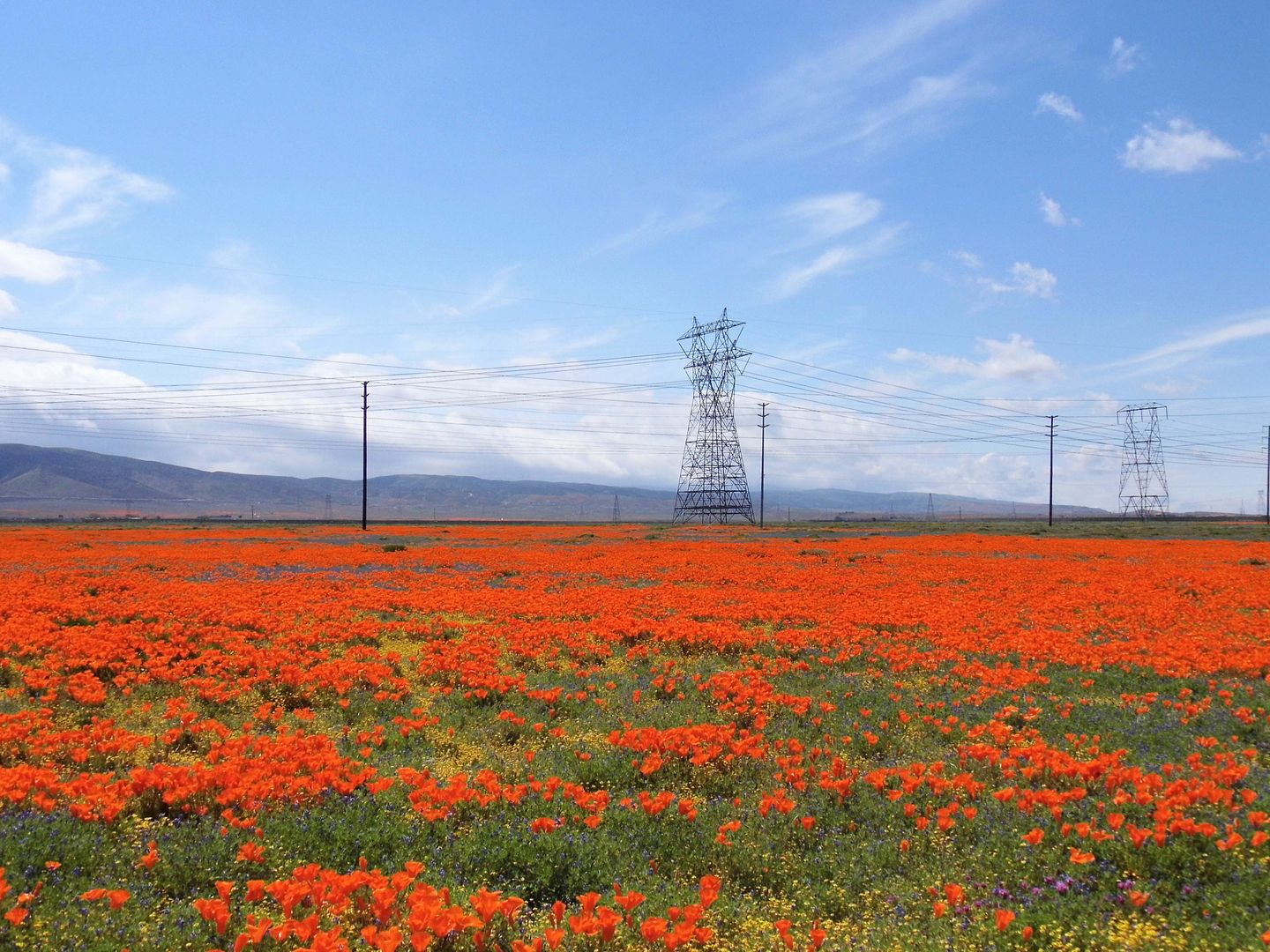
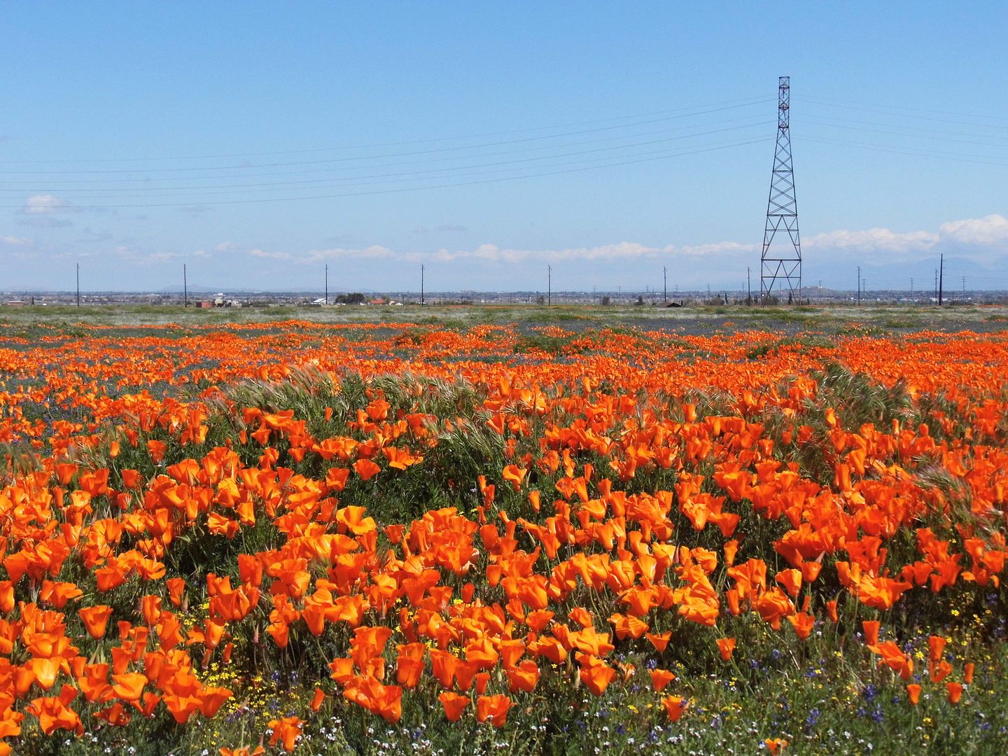
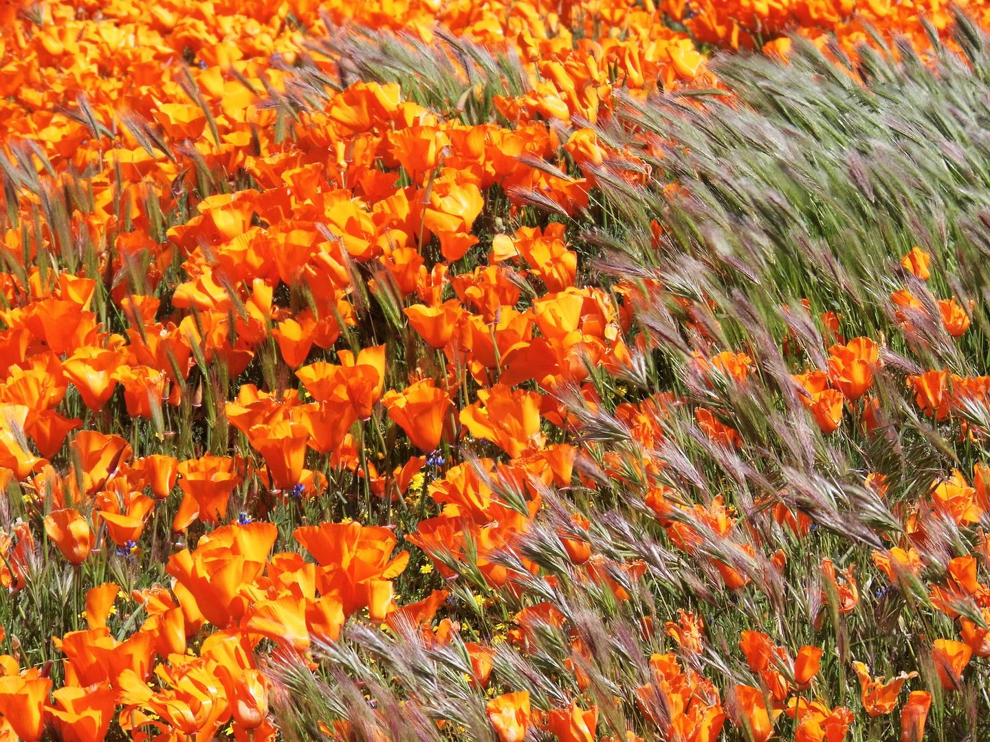
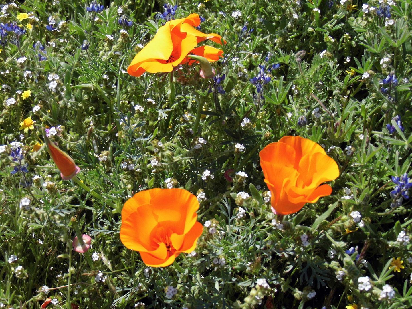
I was surrounded on both sides by the California poppy, the namesake of the poppy reserve that was closed due to COVID-19 but usually can be found in abundance outside the state park (in fact sometimes more so).


They were in full bloom on that April afternoon—a day in April I probably would've been trekking around the poppy fields anyway, had we not been advised to stay at home to stop the spread of the coronavirus.


I felt a little guilty for disobeying orders and maybe setting a bad example—but I also felt that my disobedience had been vindicated by the fact that this year's poppy bloom was different than any others I'd ever seen before.


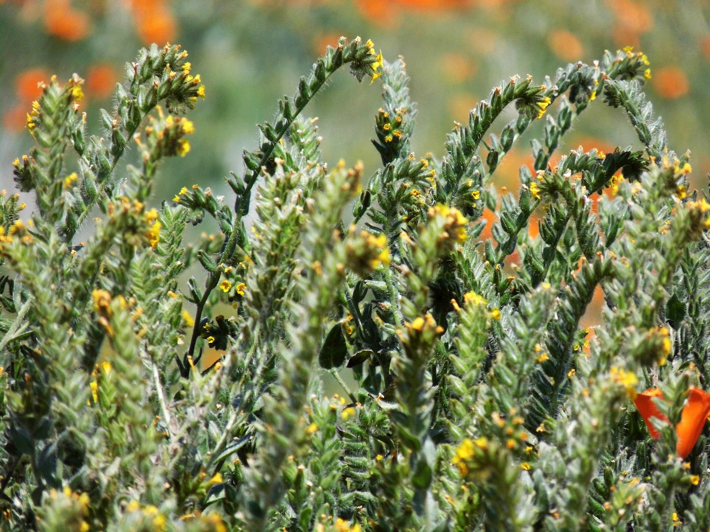
It wasn't just the orange poppies, but also purple owl's cover and yellow fiddlenecks, goldfields, and monolopia...


...set against the backdrop of blue and white pointillism that only becomes clearer, the closer you get.


For a long time, mine was the only car on that dirt road—until perhaps my presence alerted another carload to the scene and solitude.

I drove out shortly after their arrival, once I'd gotten my fill.

But I didn't join the groups alongside the paved road that were also breaking quarantine. I didn't need people yet.

I just needed to bear witness to life going on without me—even from a distance, even from just the dirt road.

The flowers were pristine from not being trampled by the masses. And I wasn't going to be the one to trample them.

I wasn't going to tell anybody, either—not until they were already long gone.

Next wildflower season, maybe the world will be somewhat "back to normal." But this year, it kind of felt like I got to keep the wildflowers as my own little secret.

Related Posts:
Photo Essay: Poppies Peaking in Antelope Valley
The Most Orangey Orange I've Ever Seen
Photo Essay: Wildflowering at Poppy Peak

April 11, 2019

Photo Essay: The Forgotten Highway Between LA and Bakersfield

Before the Castaic-Tejon Route opened, there was no good way to get from LA County to Bakersfield (or back). Stagecoaches and wagons could make it, but the trek over the Tejon Pass was harrowing. And because of drainage issues, dirt roads to the north of LA often became muddied or downright flooded.


As "automobilists" (as they were called) began taking over the roadways with motorized vehicles, those dirt paths just no longer cut it—and they began to complain.


The solution offered by the newly-formed State Bureau of Highways? Carve out a road, high up along a mountain ridge to keep the puddles away (not taking into account the snowpack of the harsh winter seasons), by using horse- and mule drawn-scrapers and grader.


German Point in background

Today, a very civilized, paved portion of the old "Ridge Route" runs alongside the 5 Freeway—its eventual replacement—in Gorman, a common pit stop for travelers needing to fill or empty their tanks.


Since renamed Gorman Post Road, it passes the former sites of the Gorman Inn, the first store in Gorman, and the home of Oscar and Mary Ralphs (brother and sister-in-law of the grocery store chain founder).


You can even see some original curbs along the road shoulder, some dated 1924 (although the Ridge Route's first iteration actually opened in 1915). In the beginning, the Ridge Route was so narrow that some joked it was just one long sidewalk.


Today's Gorman Post Road is also where a lot of the construction camps were set up for the workers who first put down the gravel and oil road bed—and would later lay reinforcing rods and tamp the wet concrete down (circa 1919).


Between the construction works and the travelers, there was plenty of business for the free water given away at German Station, as well as the goods for sale at Caswell's Road Stop, the services provided by mechanics, and the gas pumped at Holland Station #1.


But like many of those early roads, it quickly became obsolete. The two-lane engineering feat of the Old Ridge Route was bypassed in 1933 by a straightened, three-lane alternate (with a center "suicide lane" for passing) that became Highway 99.


Even Highway 99—which shortened the journey by nearly 10 miles—gave way (mostly) to the eight-lane 5 Freeway, which began construction in 1963 and opened in 1970. Though the Ridge Route was abandoned, it wasn't erased.


In fact, at the southeastern terminus of Gorman Post Road, west of where Quail Lake reservoir is now and in the general vicinity of the former Bailey Ranch, you can actually drive on a flat, well-preserved stretch of the Ridge Route. It just doesn't go anywhere.


To follow the original path of the Ridge Route, you've got to get off of Gorman Post Road and turn left onto Lancaster Road (a.k.a. Hwy 138) and drive 2.5 miles to the signed juncture with Old Ridge Route Road.


That's where the old route finally begins to climb the ridge, looking down over the former General Petroleum (later Mobil) pumping plant and Pacific Telephone and Telegraph Relay Station. This is the future site of Centennial, California—a master-planned community on land owned by Tejon Ranch—in the westernmost portion of the Antelope Valley.


It's actually not that easy to follow the entirety of the Old Ridge Route because, like Route 66, its alignment did change—and portions of it were even buried with the construction of the California Aqueduct.


But a stretch of this "miracle of modern engineering" that runs through Angeles National Forest is both drivable and maintained.


It's a fun destination for vehicular tourism...


...but it also provides access to some recreational and historic sites (as well as campgrounds).


In fact, the most famous stop between LA and Bakersfield was a midpoint waystation known as Sandberg, whose lampposts across the street beckoned travelers (no truckers or dogs allowed) to stop at its Summit Hotel, located near the peak of the Ridge Route at 4100 feet of elevation. (The streetlights' concrete footers still stick out of the hillside.)


Sandberg's Summit Hotel—which was later sold and rebranded The Sandberg Lodge—was set to reopen in 1961 as a children's camp when it burned to the ground. Nothing has ever been built in its place.


And that's where the Ridge Route really starts to get interesting.


Although the county no longer maintains the road, you can still drive on it—at least, until you hit a locked gate.


This is also where you get a good feel for a few of the route's 697 curves that you could really only take safely at 15 mph in a car.


And even so, some of these stretches have since been widened, their hairpin turns more gentle, with even some blacktop that was added later (though now crumbling, revealing the original concrete in astonishingly better condition).


As you round Horseshoe Bend, with Liebre Mountain in the distance and the ghosts of the former Liebre Construction Camp as your guides...


...you've got to swerve and snake your way past the rockslides that nobody has cleared, trying not to drive off a cliff as you take in the scenery.


Up there, long-gone guard rails would save some careless drivers—sometimes.


The big payoff for your drive are the ruins of the Tumble Inn (later, the Mountainview Lodge).


Although the landmark arch is some rebuilt version of the original, the edifice of native stones still marks a nice turnaround point.


If the road south of the Tumble Inn is open, you can take it past the site of the former Kelly's Halfway in, and all the way down to Castaic. But when you get there, you might find the gate at the other end closed, forcing you to make a two-hour drive back the way you came.


By 2005, the road had suffered so many rockslides and washouts that it's been officially closed—but sometimes the gate is open. (And even when you can't drive on it, you can walk/hike on it.)


I'm banking on it being open the next time I come to the area, so I can see the rest of it (as well as any sections north of Gorman that are still open).


Photo: Circa 1922, Automobile Club of Southern California collection, USC Libraries (Public Domain, via Wikimedia Commons)

Stay tuned for dispatches from my visit to the Ridge Road Communities Museum and Historical Society. 

Related Posts:
Photo Essay: Hiking Old San Francisquito Canyon Road, Along the Path of the St. Francis Dam Flood
Photo Essay: The Road That Google Maps Forgot, Old Hwy 62