Search

Showing posts with label Oil. Show all posts

April 01, 2021

Photo Essay: The Retirement Ranch of An Oil-Employed Fossil-Finder, W.W. Orcutt

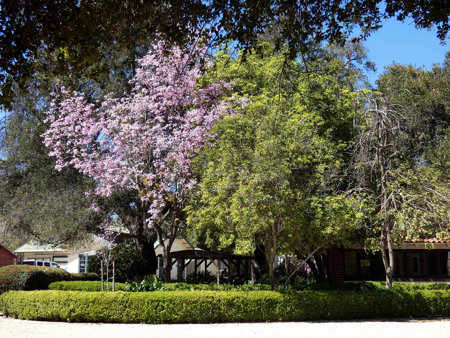
At one point a few years ago, I'd set off to visit and document all the historic ranges in the Santa Monica Mountains National Recreation Area and its environs.

But somehow after 10 years in LA, I still hadn't made it to Orcutt Ranch.

Maybe it's because its name didn't carry the same weight for me as "Paramount Studios" or "Lake Enchanto" or "Gillette" (of the razor empire). 

Its namesake, William Warren (W.W.) Orcutt, was a SoCal oil geologist and Union Oil exec whose name is less recognizable to us today than perhaps it was in his heyday. (Or, at least, to me—a California transplant.)


January 10, 2021

Photo Essay: Tiptoeing Across Carpinteria's 'Black Gold' Beach

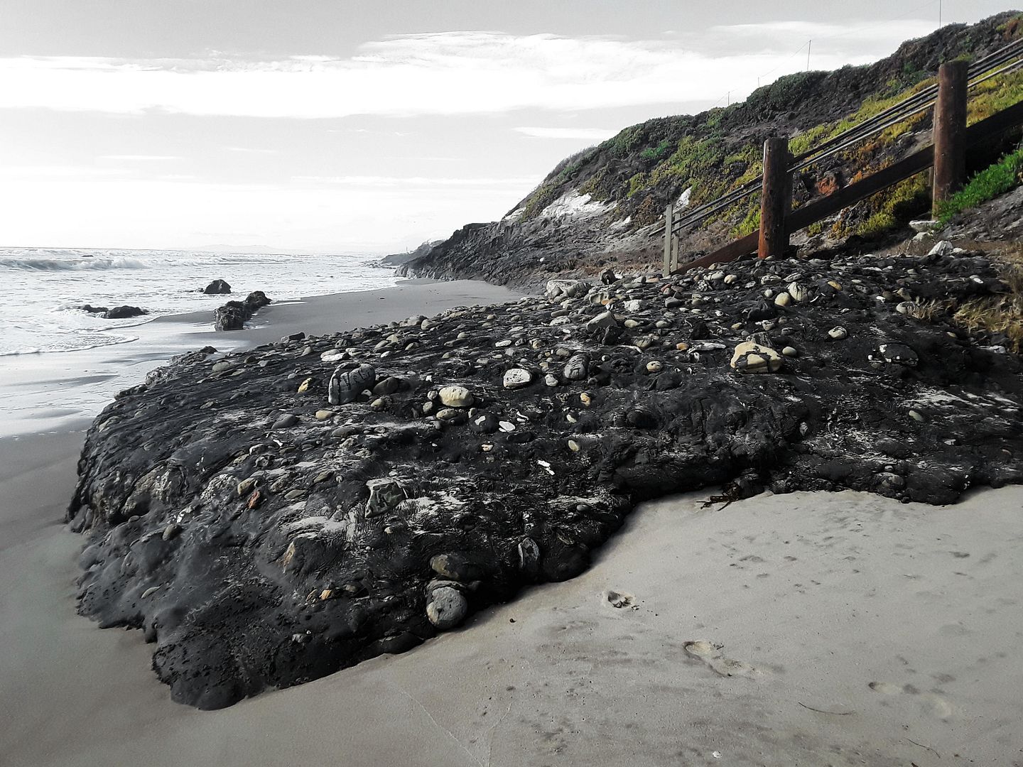
Unlike on Hawaii's black sand beaches, the black you'll find on certain SoCal beaches—especially at the southernmost section of Carpinteria State Beach, just south of Santa Barbara—isn't exactly exotic or romantic. 

September 02, 2020

Adventures on Pico: From a Chili Bowl to An Oil Well (Updated for 2022)

[Last updated 12/26/22 11:07 PM PT—Info on Wienerschnitzel closure added.]
[Updated 2/24/22 8:08 PM PT—The Chili Bowl was approved for demolition and was disassembled this week. Its fate remains unclear, although preservationists hope its pieces could be relocated and reassembled elsewhere.]

Lately I've been retracing what I thought was a familiar route through LA—but finding new aspects of it that I'd never noticed before.

For me, this has been a blessing of the pandemic. It's like the city is new to me all over again.

When I first moved to LA, it was for a job on Main Street in Venice, California—and the easiest way to get there was to take Pico Boulevard all the way west down to Gateway, which would dump me off on Main in Ocean Park, just a stone's throw away from the office.

It was a drive that required low cognitive load—essential for my morning haze and preference to sing along to the radio rather than navigate.

I'd take in what I thought were the main sights of Pico—the Fox Studios, the Ranch Park Golf Course across the street, Westside Pavilion, and The Apple Pan.

Before I'd make my left turn, I'd let my gaze linger on the former location of Kelbo's tiki restaurant, whose current tenant at the time—Fantasy Island strip club—kept the lighthouse architectural motif and tropical signage. (It was unfortunately demolished a few years ago, before I got up the nerve to go inside).

And that was about it. I rarely took the same way back home, instead cutting down Venice through Culver City to catch a drink or a snack there before calling it a day.

That was my routine for three months in 2011—before getting laid off.

Even when I worked at a different job nearby in 2014, and would head one boulevard south to Pico for after-work happy hour, I didn't discover much more than Billingsley's steakhouse and the SF Saloon—not before getting laid off after yet another three-month stint.

But my recent treks to Santa Monica to go swimming have brought me not only back down Pico, but farther down Pico, and even the other way down Pico to get back home.

And it has been a pandemic adventure!


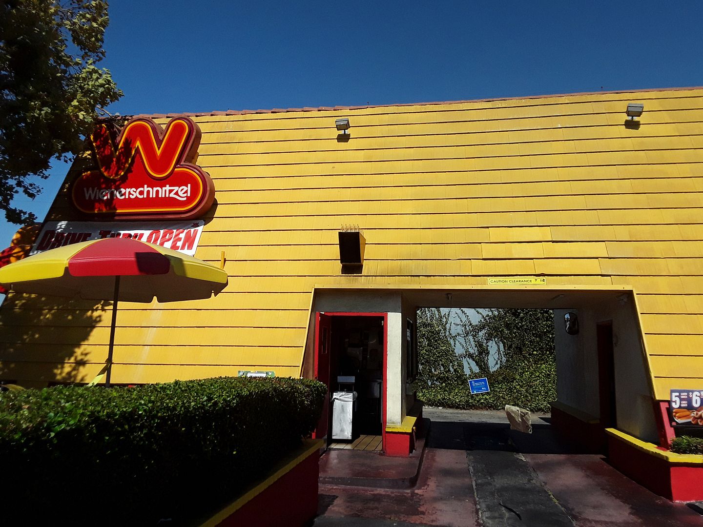
Coming from Santa Monica, almost before hitting the city limits at the 10 freeway overpass and crossing over into West LA, I stumbled upon a Wienerschnitzel fast food stand that impressed me more than even the first location in Wilmington, California—thanks to an A-frame structure that you can drive through.


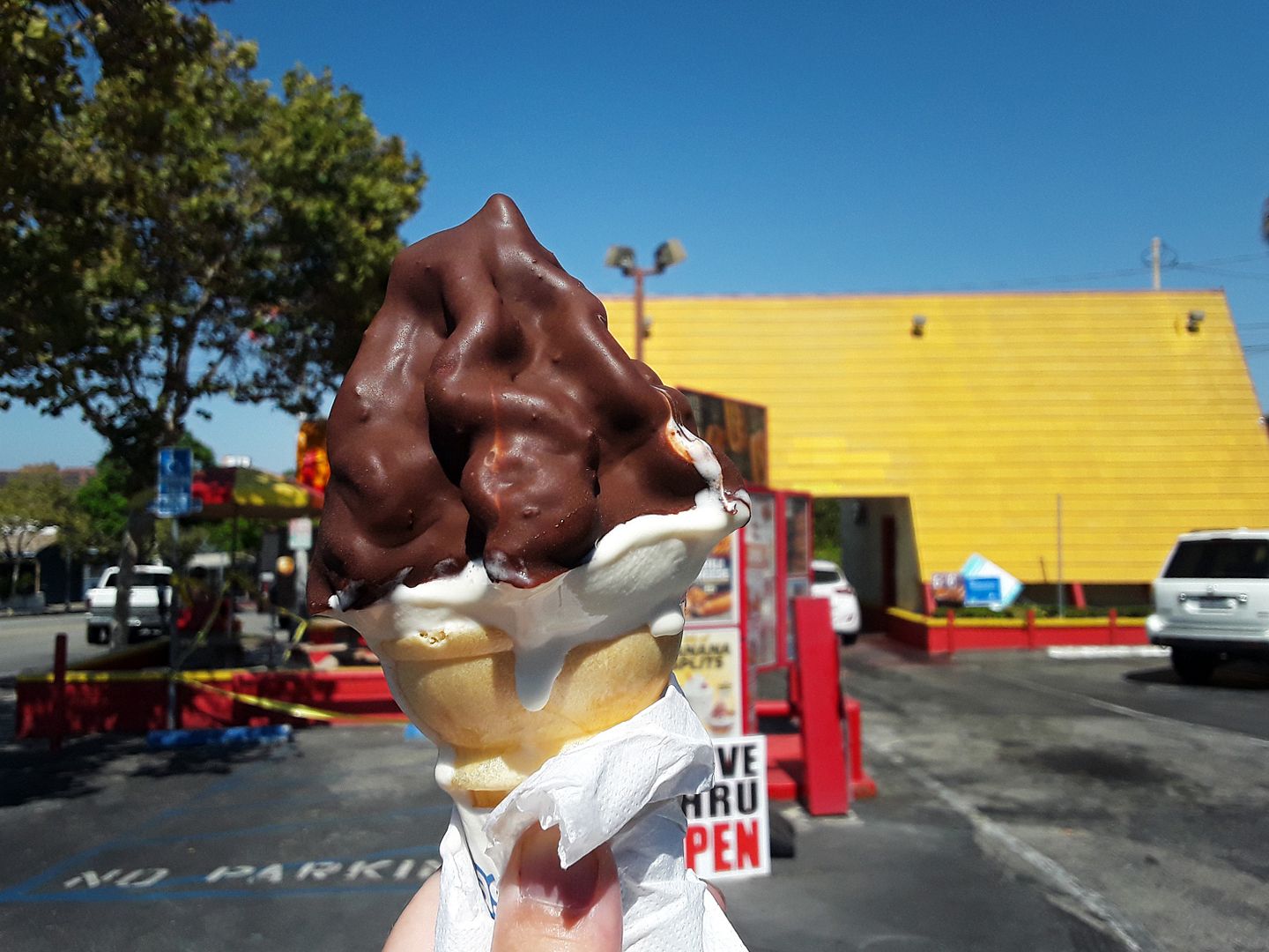
One of the silly items on my to-do list was to visit a Tastee Freeze—any Tastee Freeze, even one that's part of a Wienerschnitzel—so I would know what John Cougar (Mellencamp) was singing about in the song "Jack and Diane." I didn't order a chili dog, but maybe someday. [Ed: This Wienerschnitzel has closed but the Go Get 'Em Tiger chain has announced it will take over the space.]


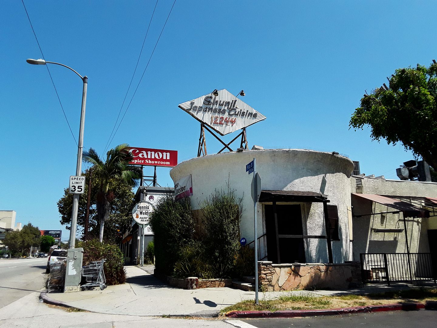
I can't get a bowl of chili anymore at the former Chili Bowl on Pico, just past the 10 overpass, but maybe I can get some Japanese food in the chili bowl-shaped restaurant when it reopens from the pandemic. [Ed: It never did.] Constructed in 1935, this "bowl" was relocated in 1939 from Silver Lake as part of Arthur Whizin's restaurant chain, all locations of which (18 at the time) closed by 1947.


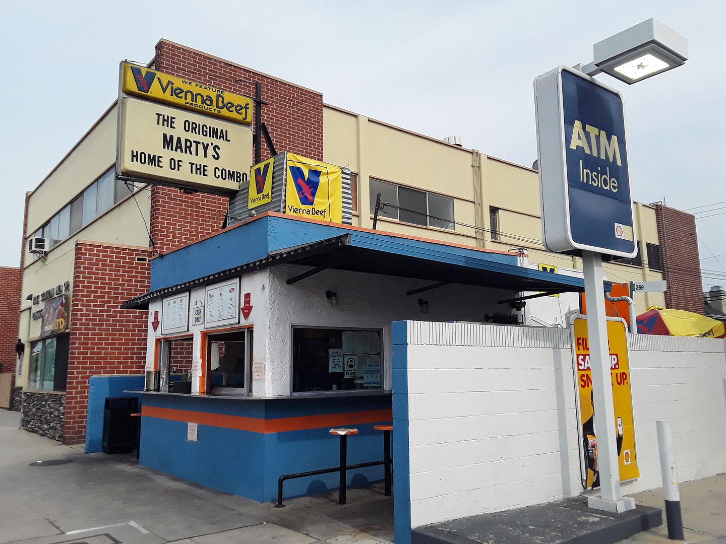
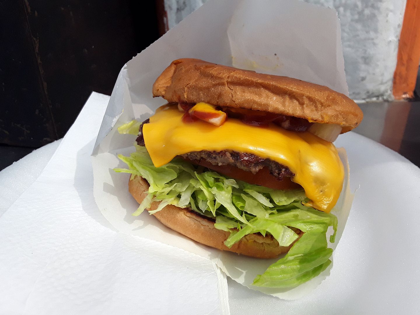
I could've gotten a chili dog at Marty's Hamburger Stand on Pico—but after driving by umpteen times and actually having this place starred on my map, when I finally walked up I resisted the call of Chicago's own Vienna Beef and ordered a cheeseburger instead.


I've learned that when a place like this—which has been slinging burgers since 1959—asks if I want everything, I tell them to give me whatever they've got. And in this cade, they've got the formula down—with mayo, lettuce, and tomato on the bottom and onions and ketchup on the top. (I now have them add mustard and pickles for good measure.)


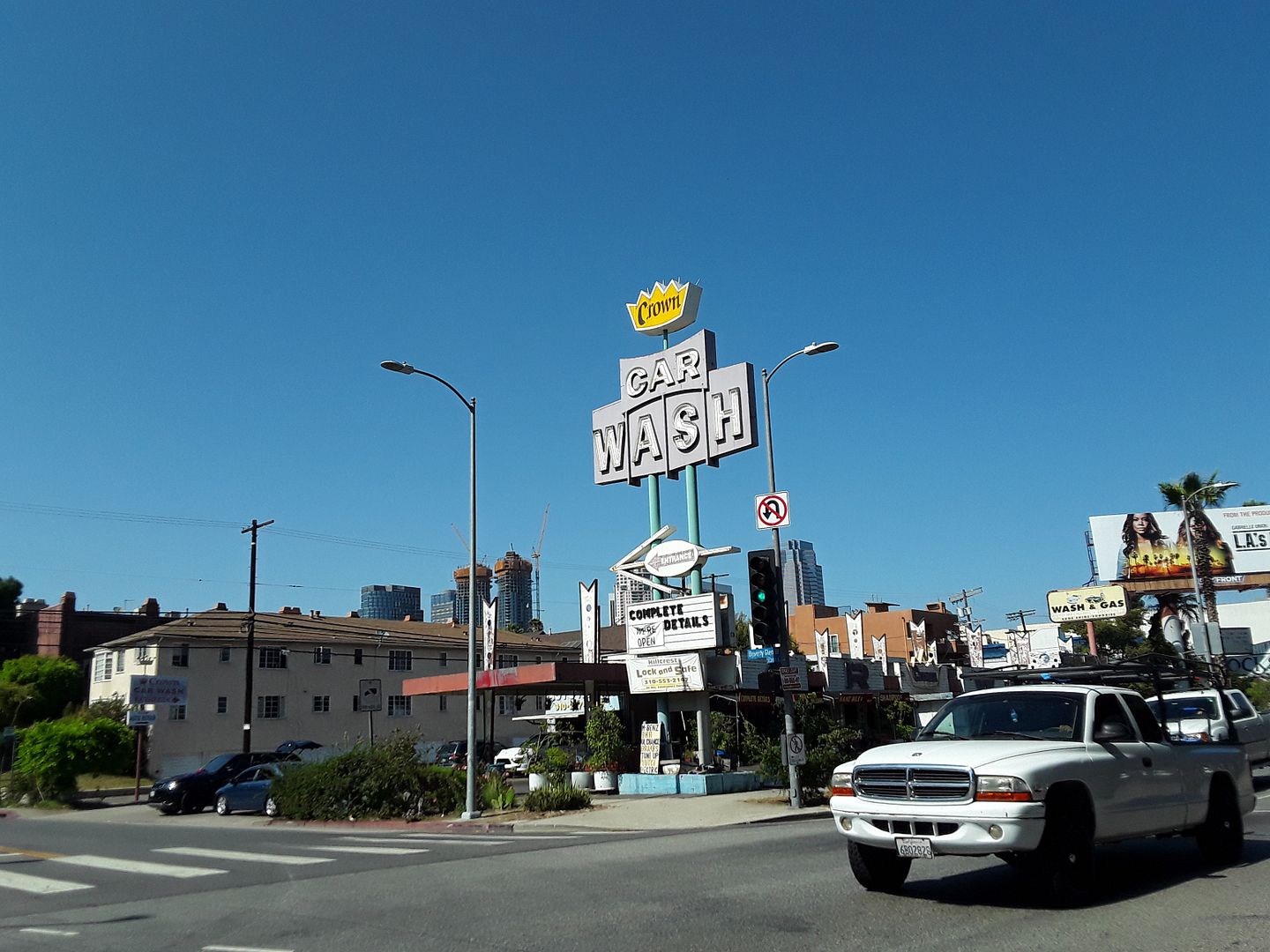
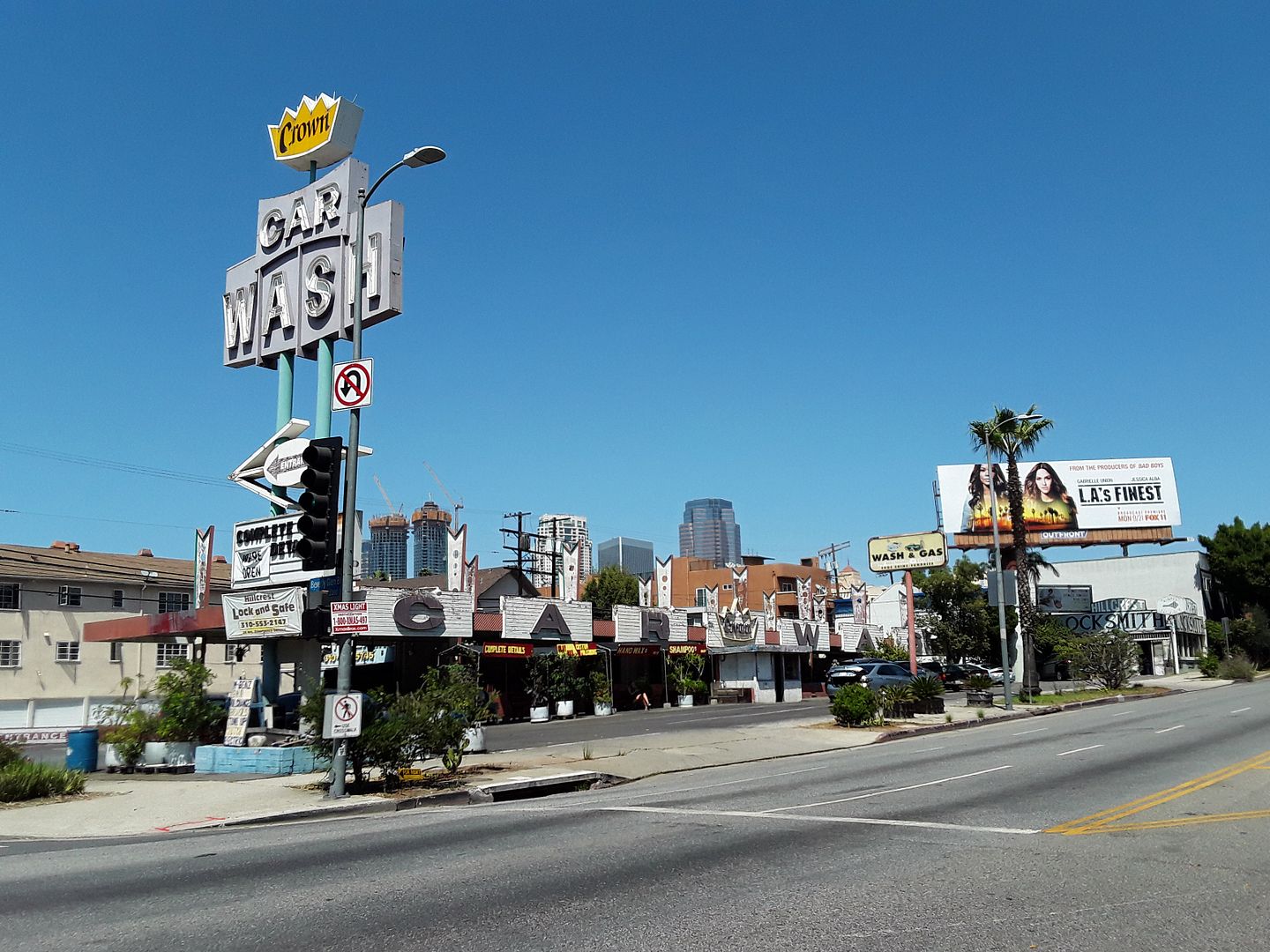
This seems to be a Los Angeles that locals say they long for but can't find anymore—roadside food with a single serving of a Mid-Century car wash (circa 1960) on the side. [Ed 12/26/22: The car wash has been fenced off for months for supposed renovations.]


I'm sure Pico has changed over time—and maybe it'll change even more once Google moves its offices into the old mall (which stands approximately where LA's first drive-in movie theater opened in 1934).


But right now, I'm relishing in the mom and pop shops, the low profiles, the weather-worn signage.


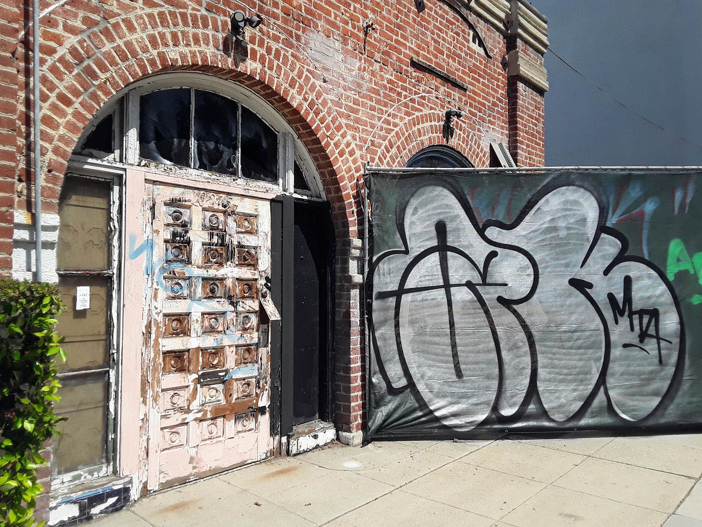
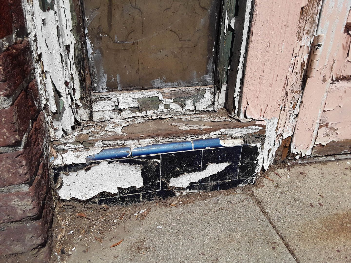
Take, for example, the exposed brick and peeling paint of a little box of a structure circa 1932, right next to Fox's front door—just 2,000 square feet of space that was built as a studio-adjacent cafeteria called Johnson's Buffet. It's the only existing example of this vintage of this type of vernacular architecture (besides the Chili Bowl, which is programmatic and not original) anywhere on this side of West Pico Boulevard.


By the mid-1930s it had become Russell's Studio Inn (a.k.a.  Russell's Cafe), which offered chicken and steak dinners and "special" dinners for just 50 cents. In the mid-1980s, it was Bruno's Chartreuse,
serving "continental cuisine"—but by the end of the 1980s, the business had relocated to Santa Monica under the new name "Chartreuse."


While the building also housed a Rams Restaurant from 1988 to 1992, it looks like it's been vacant a long time. Fox Hill Properties, which also owns the former LA Rams Football Club headquarters next door, has applied to reopen it as a tiny tavern with a patio in the back.


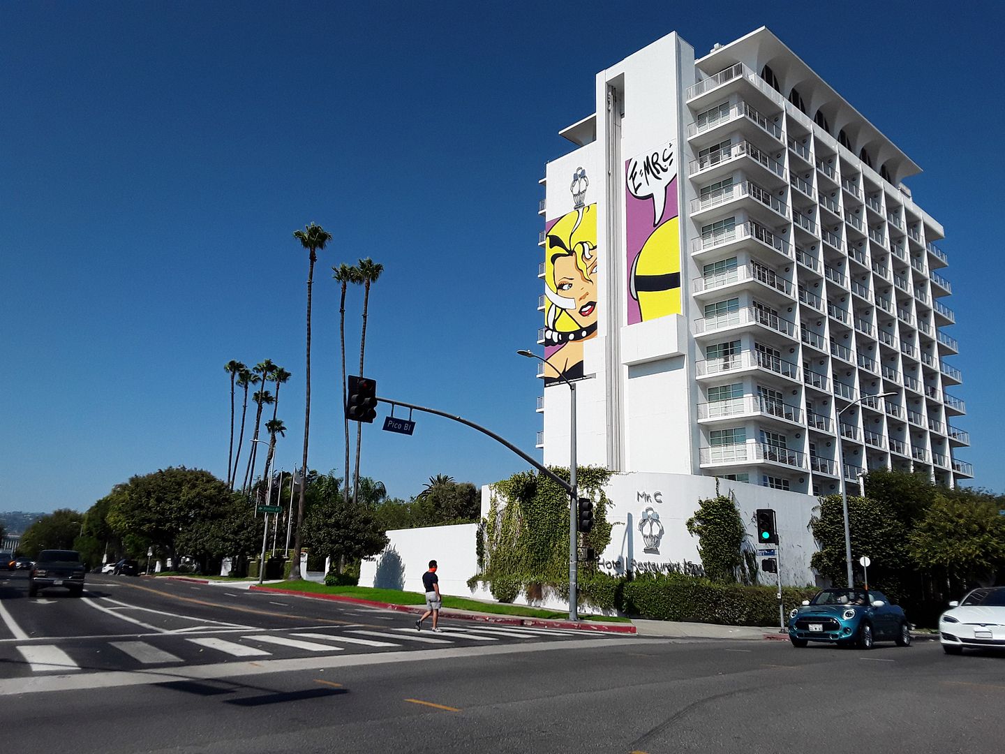
Even one of the more familiar sights to me—the Mr. C Hotel, operated by the Cipriani family, where I've actually had lunch—now looks brand new to me, even though the Kite and Overpeck-designed high-rise was was built in 1965 as the Beverly Hillcrest Hotel (which closed in 1991).


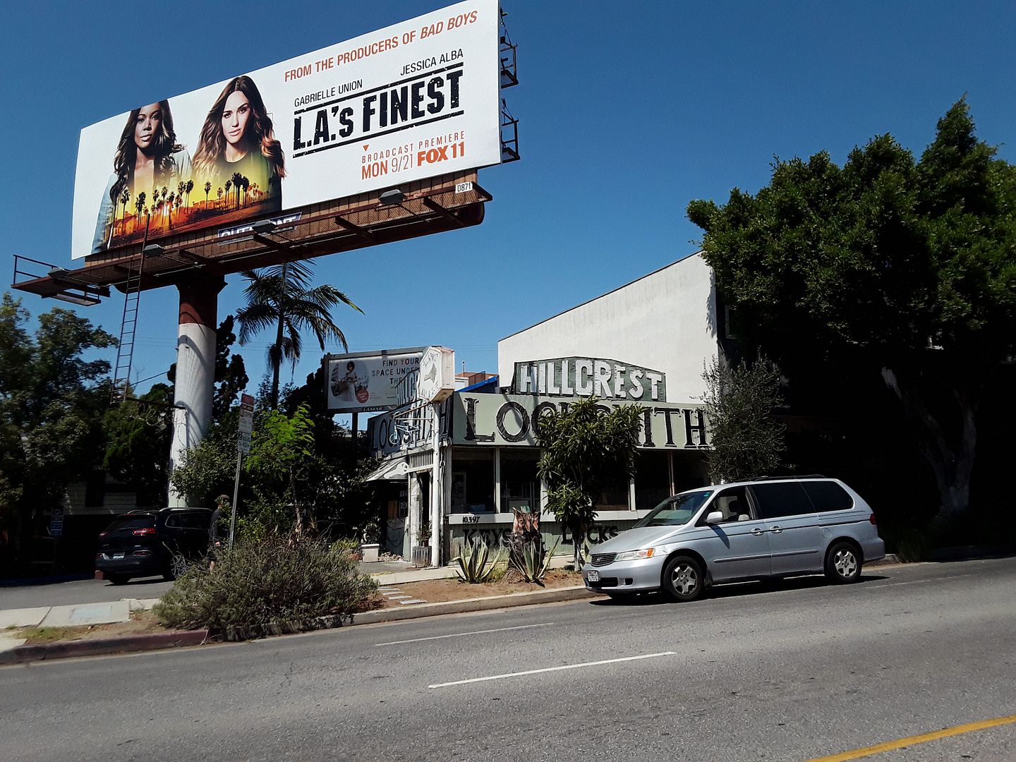
Driving back towards home, for the first time I began to wonder why everything seemed to be named "Hillcrest"—Hillcrest Locksmith, Hillcrest Country Club, but seemingly no connection to the Hillcrest Roads or Drives elsewhere in the Los Angeles area.

Maybe the names came simply from the area where the top hill of the Cheviot Hills neighborhood literally crests.

But my search for a real answer—one that's more than just a guess—led me to my last recent discovery along Pico.

Since the 1960s, Hillcrest Beverly Oil has been drilling on City of Los Angeles-owned property near the country club—part of the Cheviot Hills Oil Field.

And that's right next to the West Area of the Beverly Hills Oil Field, which is how an oil well got put on the grounds of Beverly Hills High

That one is currently being dismantled—but while it was in operation, it was camouflaged to look like a condo tower? A windmill that had lost its blades?

But there was a similarly incognito oil pump and drilling site that preceded the high school's "Tower of Hope." And that was the first "architecturally designed oil derrick," built on Pico near Doheny by Occidental Petroleum in 1966—the Cardiff Tower. 

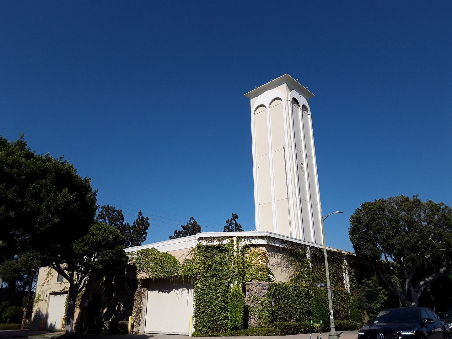
Located in a traditionally Jewish neighborhood, people have literally mistaken it for a synagogue tower.

In 1988, BreitBurn Energy purchased a section of the Beverly Hills Oil Field and its successor, Pacific Coast Energy, now owns and operates the Cardiff Tower "drilling island."

Related Post:
Walking In LA

January 09, 2020

Photo Essay: Doheny's Oil Well, The Oldest One Operating in SoCal

Living in Beverly Hills, I'm surrounded by the ghost of Edward L. Doheny.

The Greystone estate he built for his son Ned looms over streets named Doheny Road and Doheny Drive, in the hills directly above where I live.

I'd toured the mansion and traveled those roads enough to think I knew the oil baron's story.

But even having visited the Doheny Mansion on Chester Place in LA environs farther east, and the Doheny Memorial Library built in Ned's honor on the USC campus, I had more to learn.

And I had to cross the county line and go to the City of Brea to discover a major missing piece of the puzzle.

The word "brea" means "tar"—just like the La Brea Tar Pits and La Brea Avenue, both of which seep our natural source of "black gold" no matter how much we try to pave it over.

But within the Brea boundaries, there's another town—a forgotten one that's all but disappeared.

That is, all except the Olinda Oil Museum.


This marks the spot where oil put the town of Olinda on the map—by 1898, 10 wells had been drilled into the hillsides here. Olinda was a boomtown in the 1920s, at its peak housing 3000 workers and their families in 700 cottages and other dwellings—and boasting one of the richest school districts in Orange County.


By 1949, the Brea-Olinda oilfield ranked #18 in the country—but you'd never know by visiting the grounds of this former company town, now a ghost town, whose last residents moved out 1950s-60s with the construction of various local dams (including the nearby Carbon Canyon Dam).


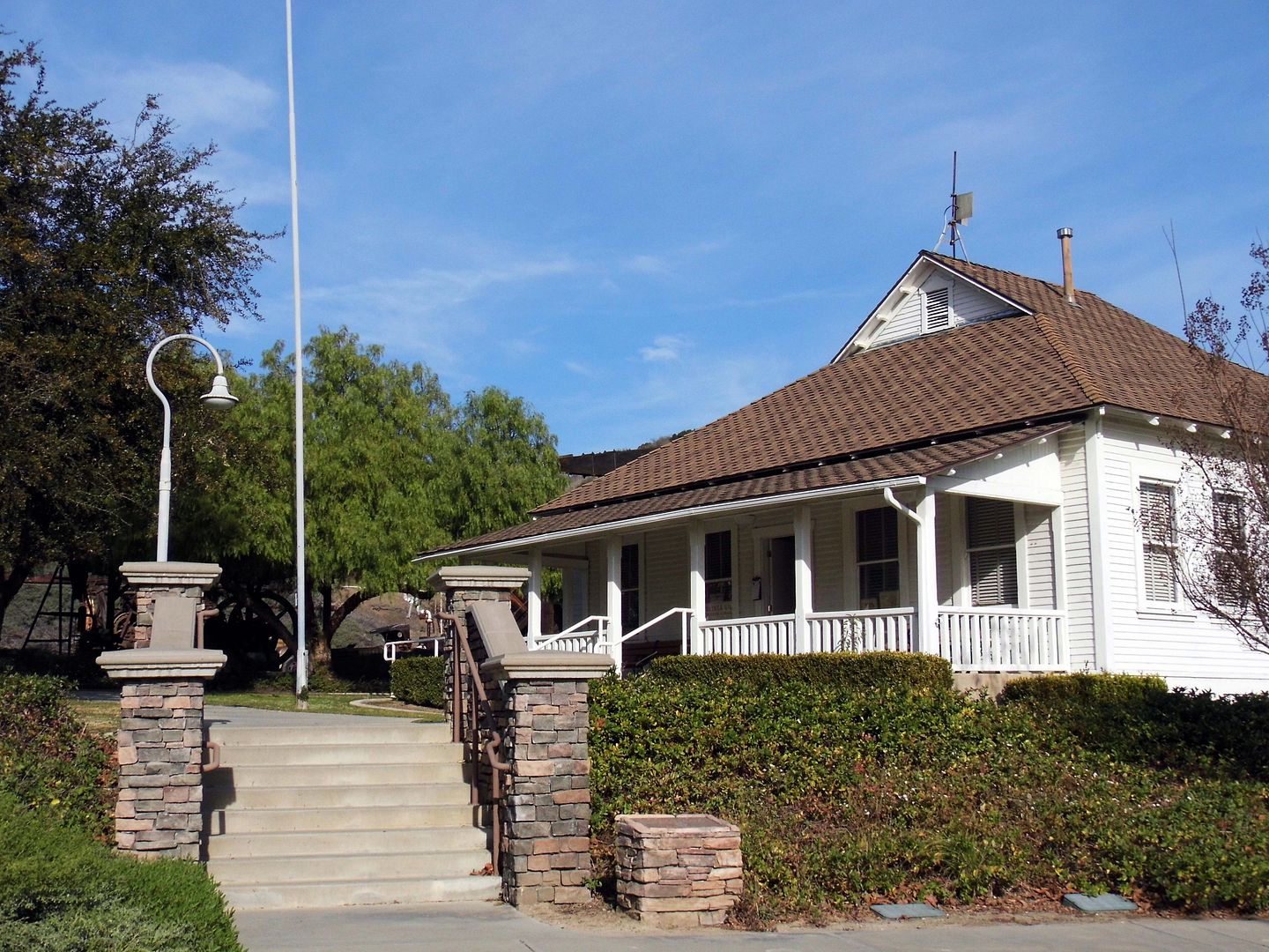
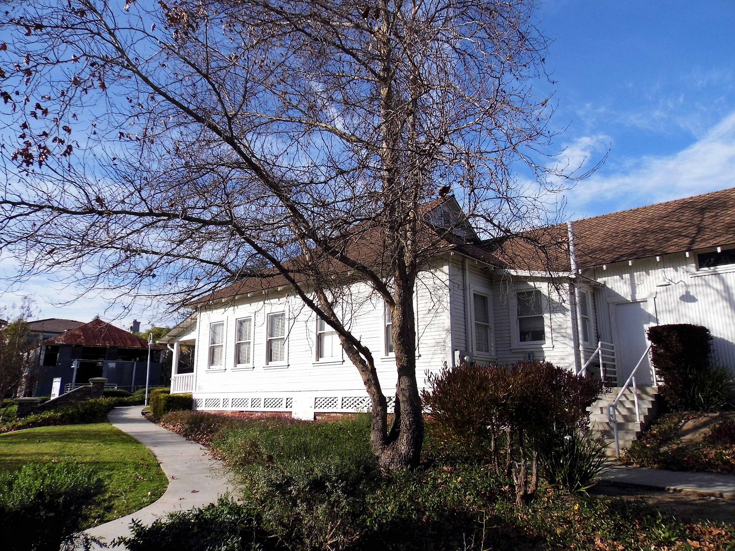
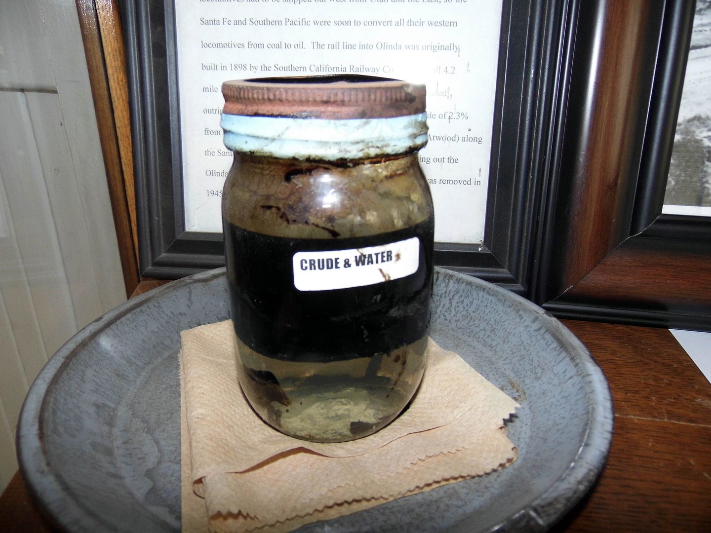
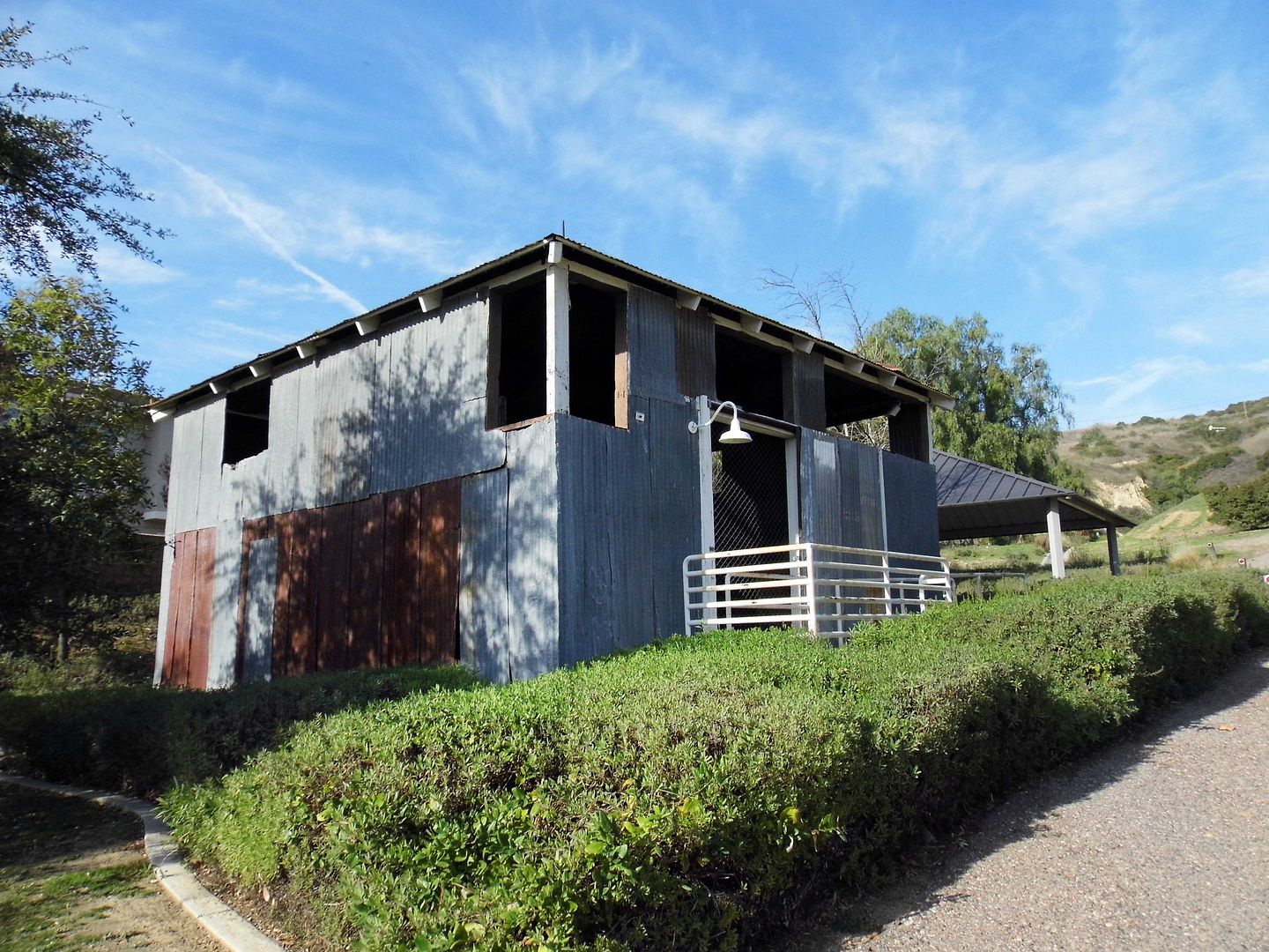
It's now been transformed into a 12-acre historical park, the oil operation's former lease office/headquarters (built 1912, vacated 1999) now serving as a museum that collects artifacts and tells the story of how crude oil and water became big business—especially in powering the railroad.


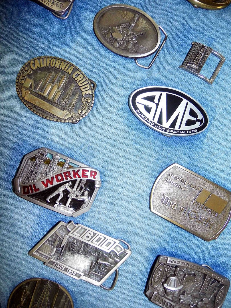
Through photographs and memorabilia, it provides a slice of life of oil workers and the "wildcatters" (or oil prospectors) that migrated to Southern California in droves—primarily from Pennsylvania, whose oil rush had already peaked by 1891.


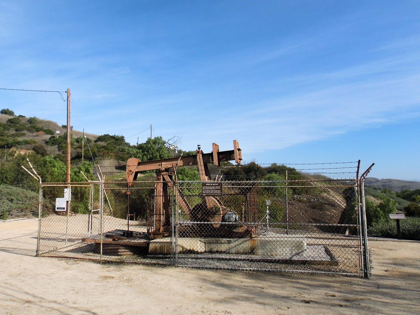
Southern California's most infamous wildcatter, the elder Doheny, simply expanded his oil empire beyond where he first struck black gold in Los Angeles—establishing Olinda Oil Well #1 in 1897 at only 806 feet deep. It once produced 50 barrels/day (bpd).


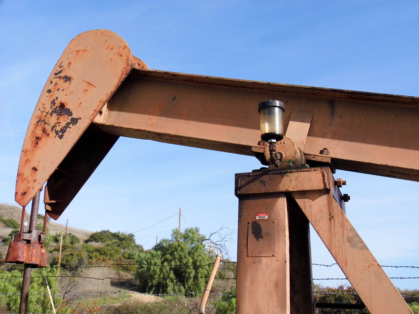
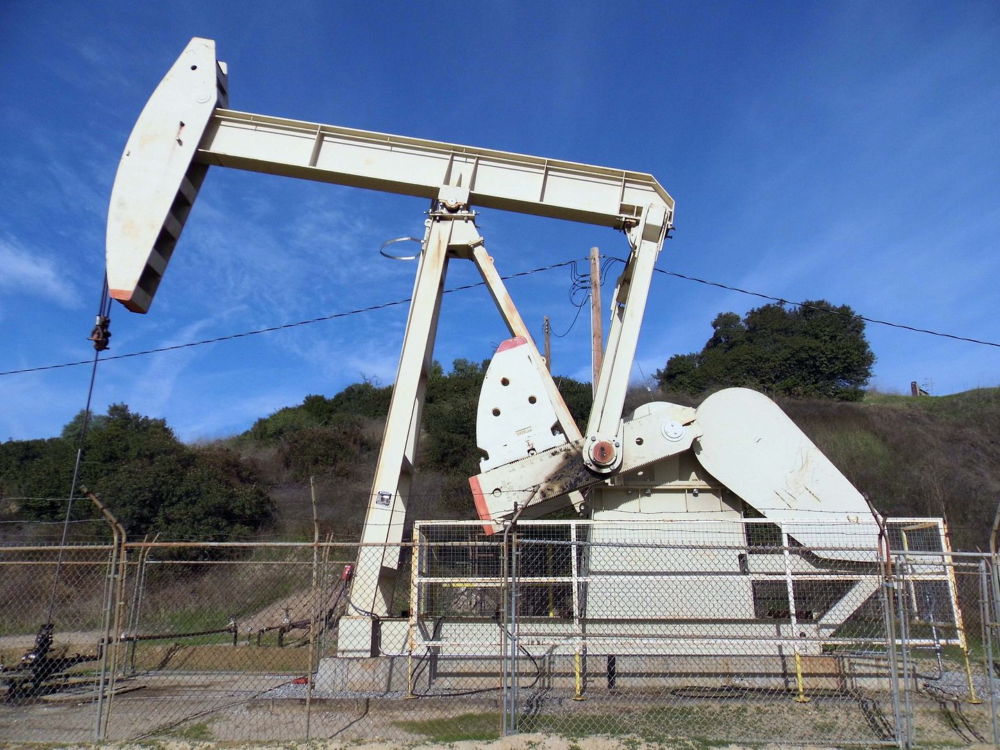
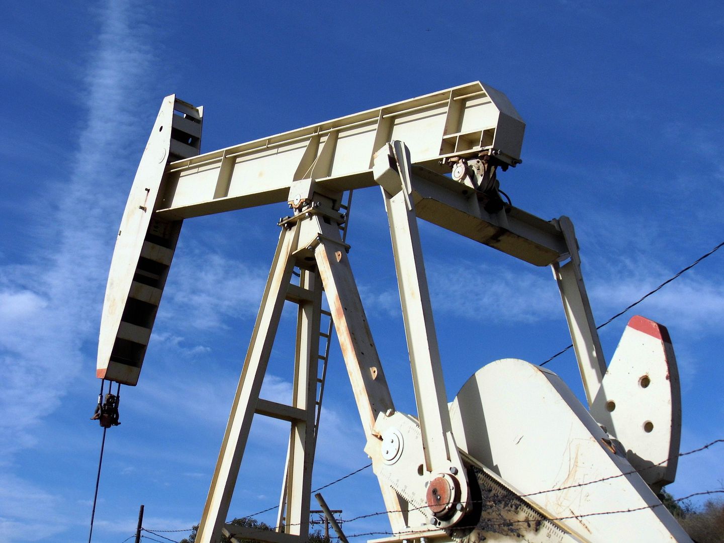
Now, 123 years later, that horsehead pump is still going—making it the oldest operating well in SoCal. It still produces about 2 barrels/day (operated and managed by Breitburn Energy Partners), even though it's been primarily preserved for historical and not economic reasons.


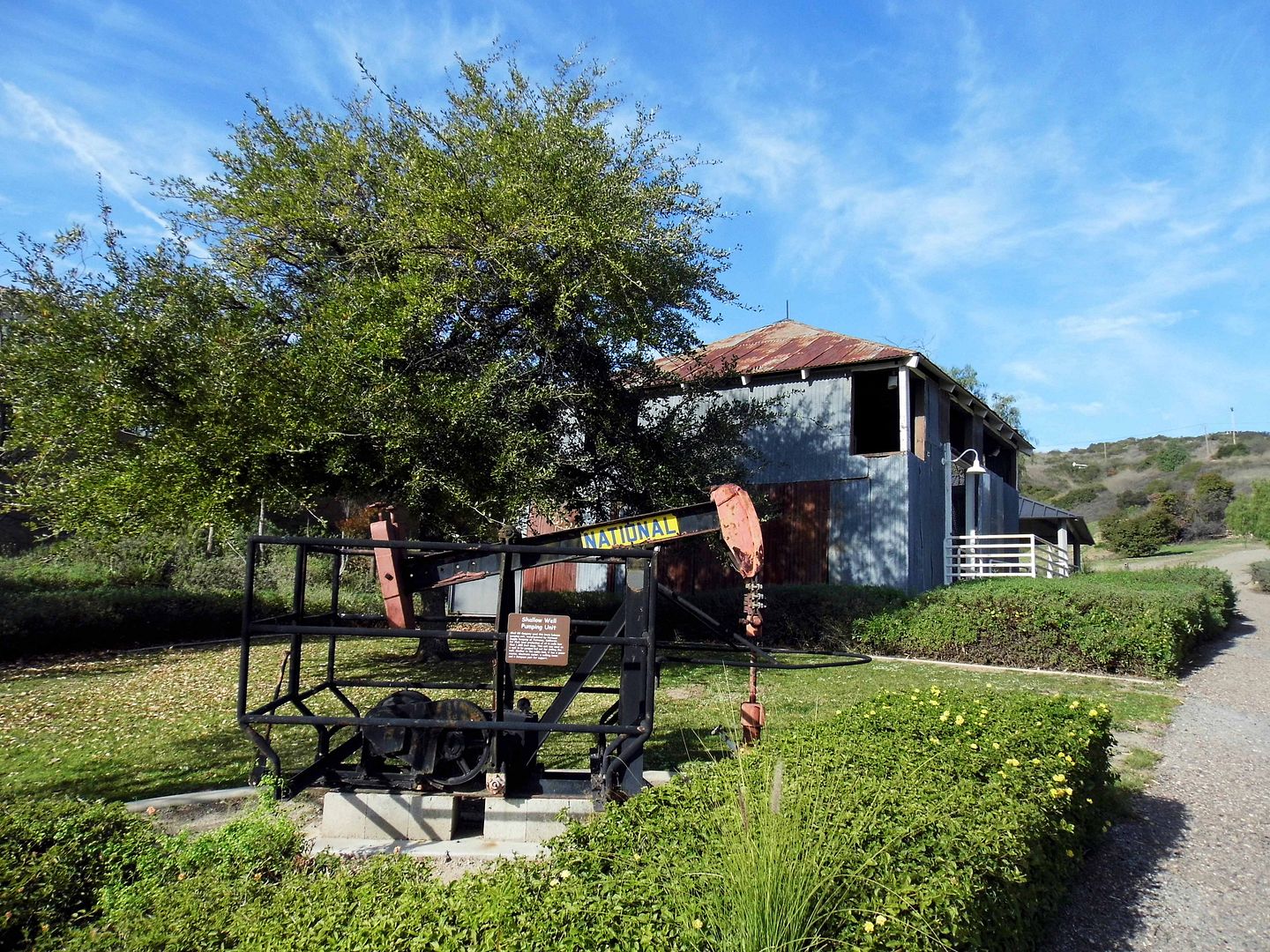
That still-working first oil pump is one of the many outdoor displays at the Olinda Oil Museum, which also has a pumping unit for shallow wells (less than 1000 feet deep, most pre-1920, like #1)—this one in particular once used by Shell Oil Company.


There's also a Jack Line oil pump unit, housed in its original central jack plant that once could power up to eight wells, as far as a quarter of a mile away.


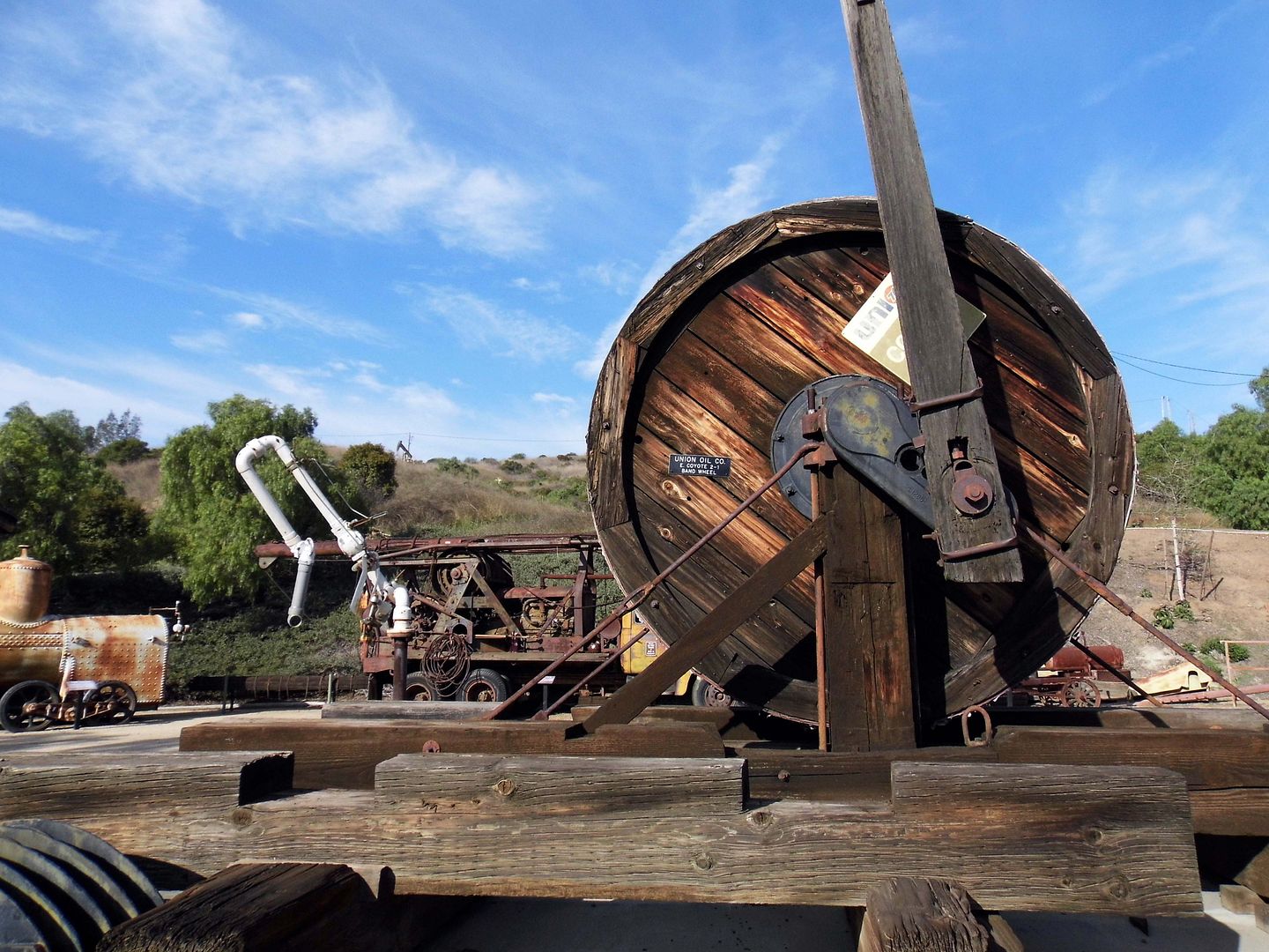
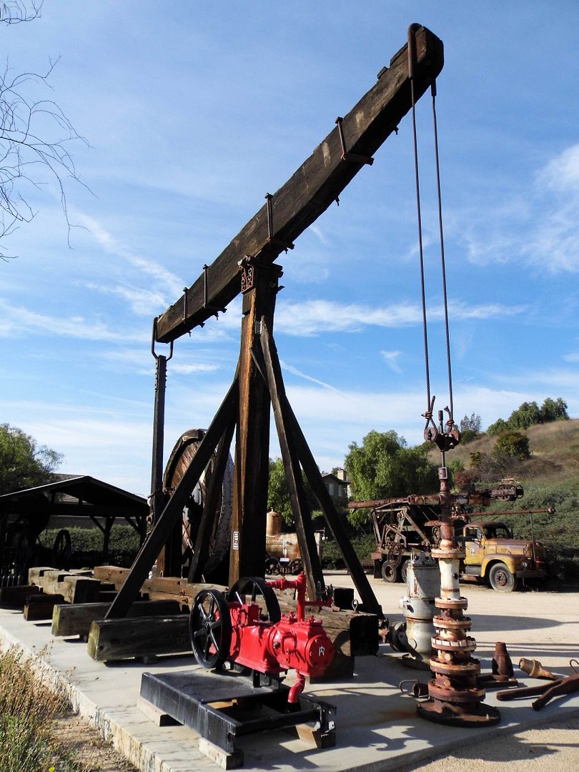
To pump from deeper wells (1000-8000 feet in depth), units like the wooden "walking beam" pump, with its 10-foot diameter band wheel, were used from the turn of the last century to the 1960s.


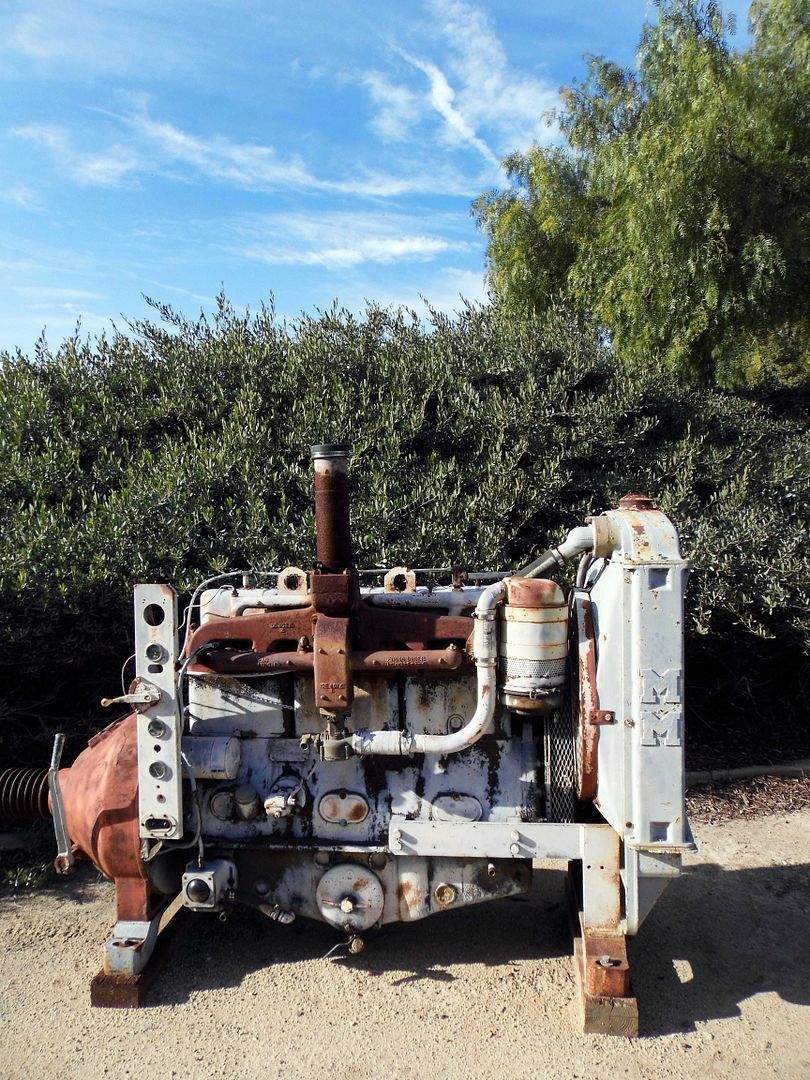
You can see one alongside other equipment—some manufactured locally in Torrance by Union Tool Company—like a steam-driven high pressure pump (which feeds water into boilers), a "hit-and-miss"
engine that operated big pumping units and distributed water to cool engines until the 1970s, and a blowout preventer that kept oil from "gushing" when tapping into deep pockets of it that had been trapped by earthquake faults (in this area, the Tonner Fault). It was Union Tool that pioneered much of the technical advances in rotary oil drilling.


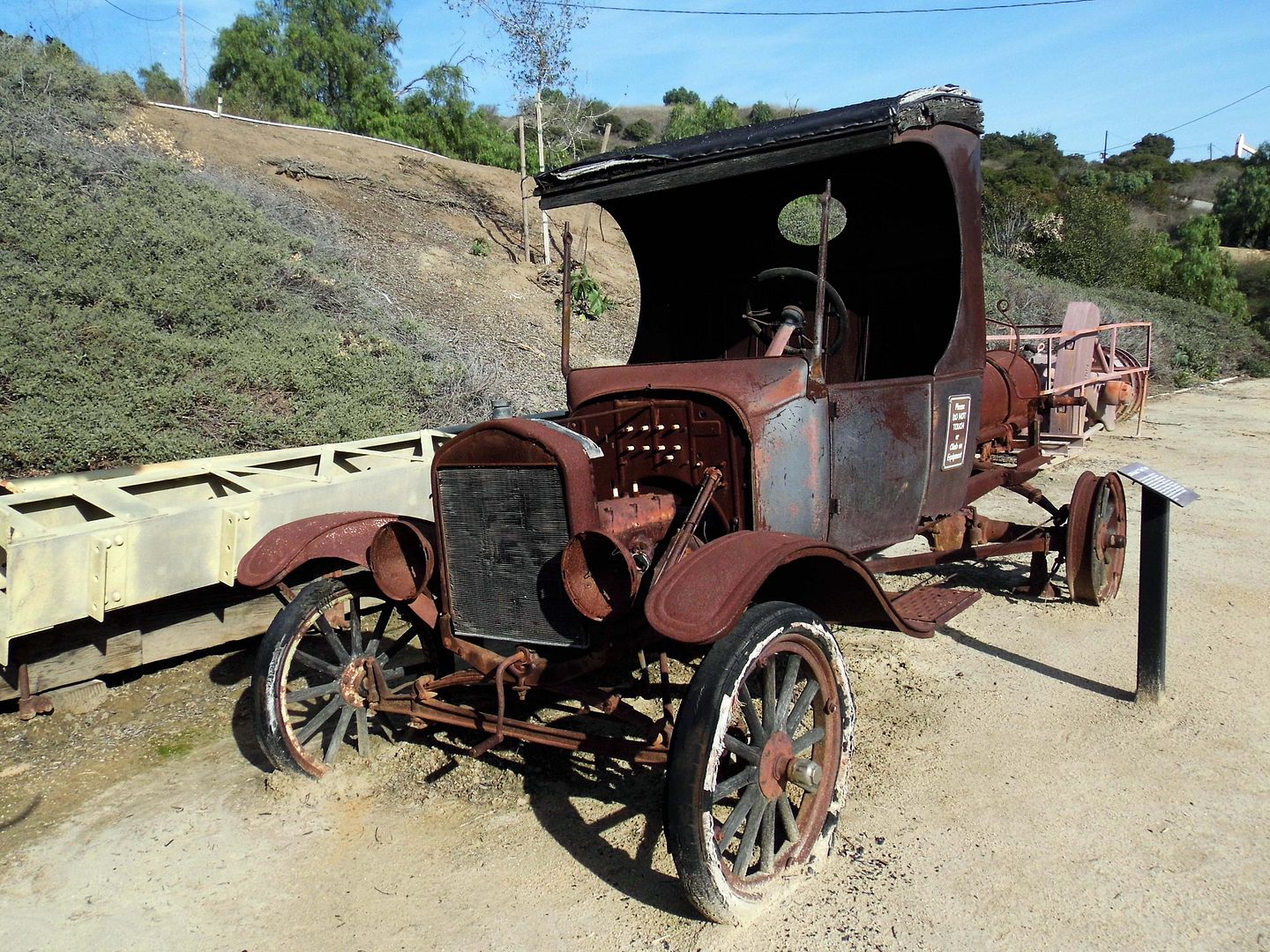
To get around Olinda's steep hills, you needed a low-gear automobile like the a Ford Model T (this one circa 1924), which operated at your choice of two speeds and the horsepower equivalent to that of a modern lawn mower.


After all, the oil business isn't just about drilling—or even just pumping.


You also need a rig to pull rods and pipes out of the wells...


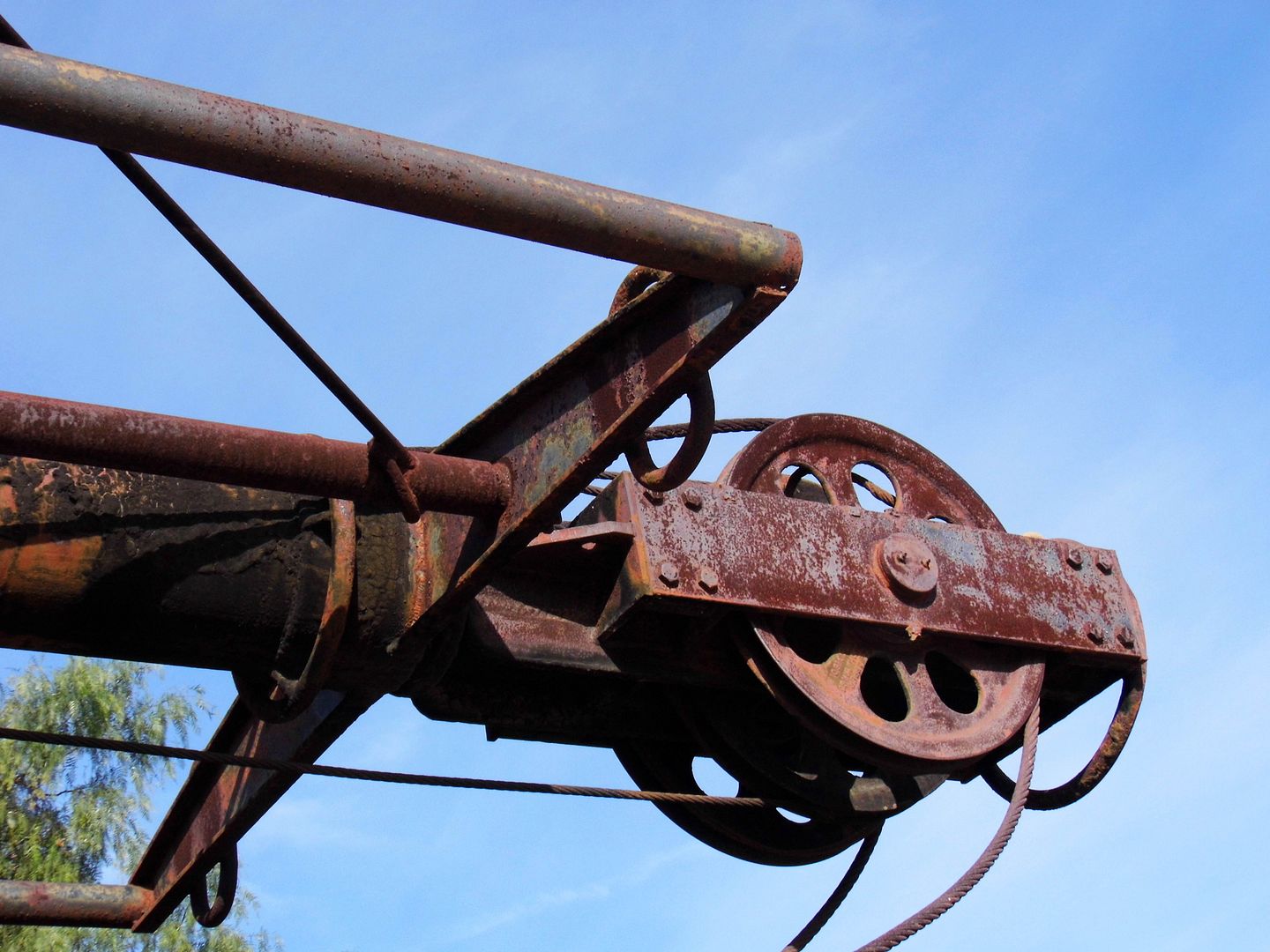
...and a tractor that's outfitted with all the latest cable-pulling equipment.


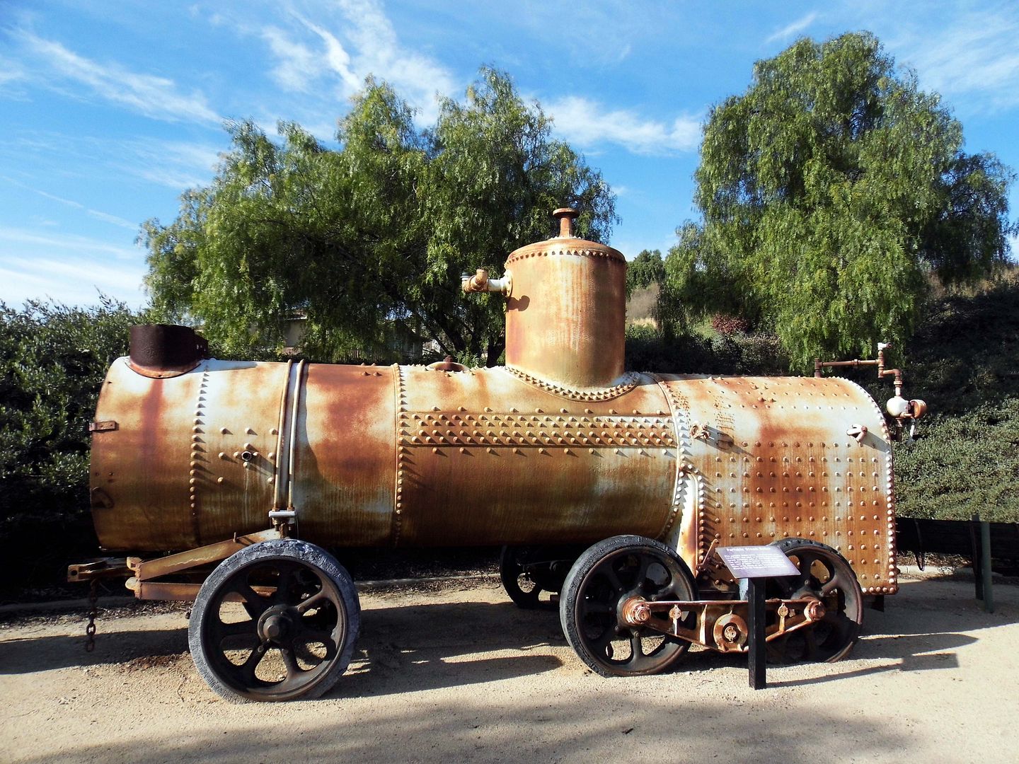
In the absence of a mule or horse team, a tractor would tow a portable steam boiler (circa 1910-20) around the oil field to  power various equipment with, well, steam. But funny enough, the steam boiler itself was fueled by crude oil, natural gas, coal, or wood.


In addition to Union Tool, some of the equipment was manufactured at the Torrance plant of National Supply Company, at one time the world's largest maker of oil well equipment.


The plant closed in 1985, after a steady decline in both steel-based industries and oil drilling.


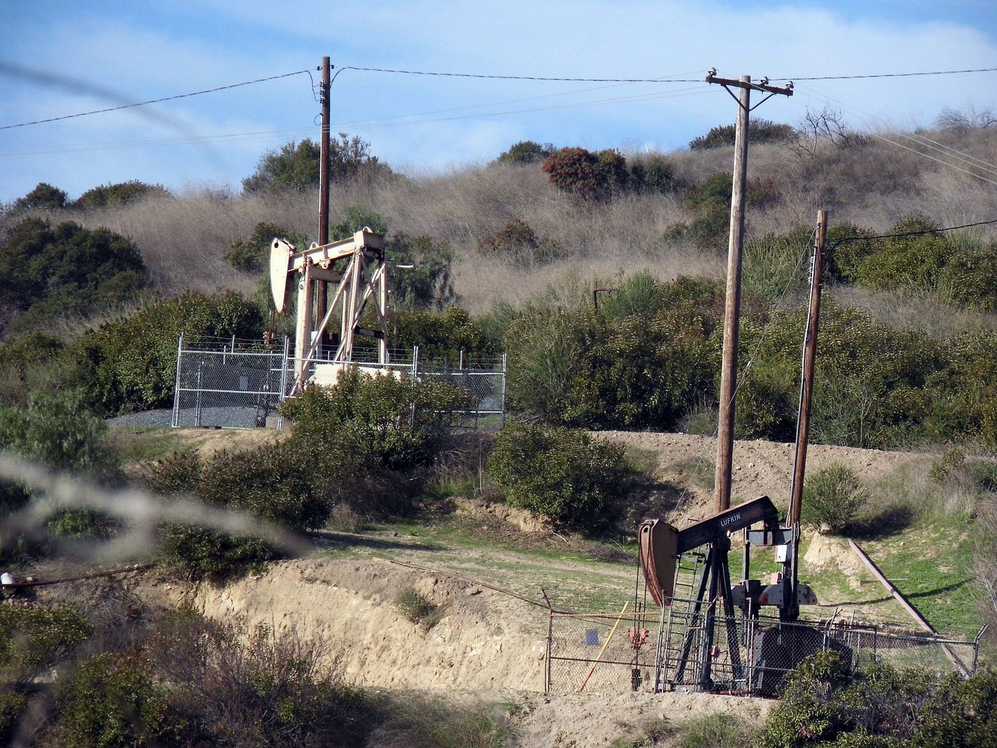
But oil hasn't completely disappeared from Southern California—and besides the still-active oil well #1, you can also witness several other horseheads actively pumping away along a 2-mile loop that climbs 275 feet through the Puente-Chino Hills.


How much oil is actually left in, say, Olinda Well #9? Probably not much. But Breitburn wouldn't keep it pumping if it didn't still turn a profit.


Same goes for Olinda Well #104, which is also accessible right alongside the trail.


The former Olinda Ranch—once owned by the Olinda Land Company, located on what was once known as the Mexican land grant, Rancho Rincón de la Brea—became the first successful oil field in Orange County.

The old company town is gone—its schoolhouse relocated to become a senior center, its church and dancehall leveled, its Santa Fe rail spur decommissioned. Now, "Olinda Ranch" is a residential subdivision of Brea, adjacent to the still-operating oil field, and on top of the site of a former Santa Fe Energy Resources oilfield.

Wildfires rage through these hills (the last major one occurring in 2008). Seismic activity created these hills—and trapped this tar. So, why would anyone move here?

Well, maybe they're hoping for a "gusher" of their own.

Related Posts:
There's (Black) Gold Up In Them Thar Hills
Photo Essay: California's First Commercial Oil Well & Abandoned Company Town (Updated for 2018)
To Save or Open West Coyote Hills Oil Field, Abandoned
Photo Essay: Kenneth Hahn State Recreation Area, Oil Adjacent

June 17, 2019

Photo Essay: A Mid-Century Cathedral of the Oil Industry, Saved By Hollywood

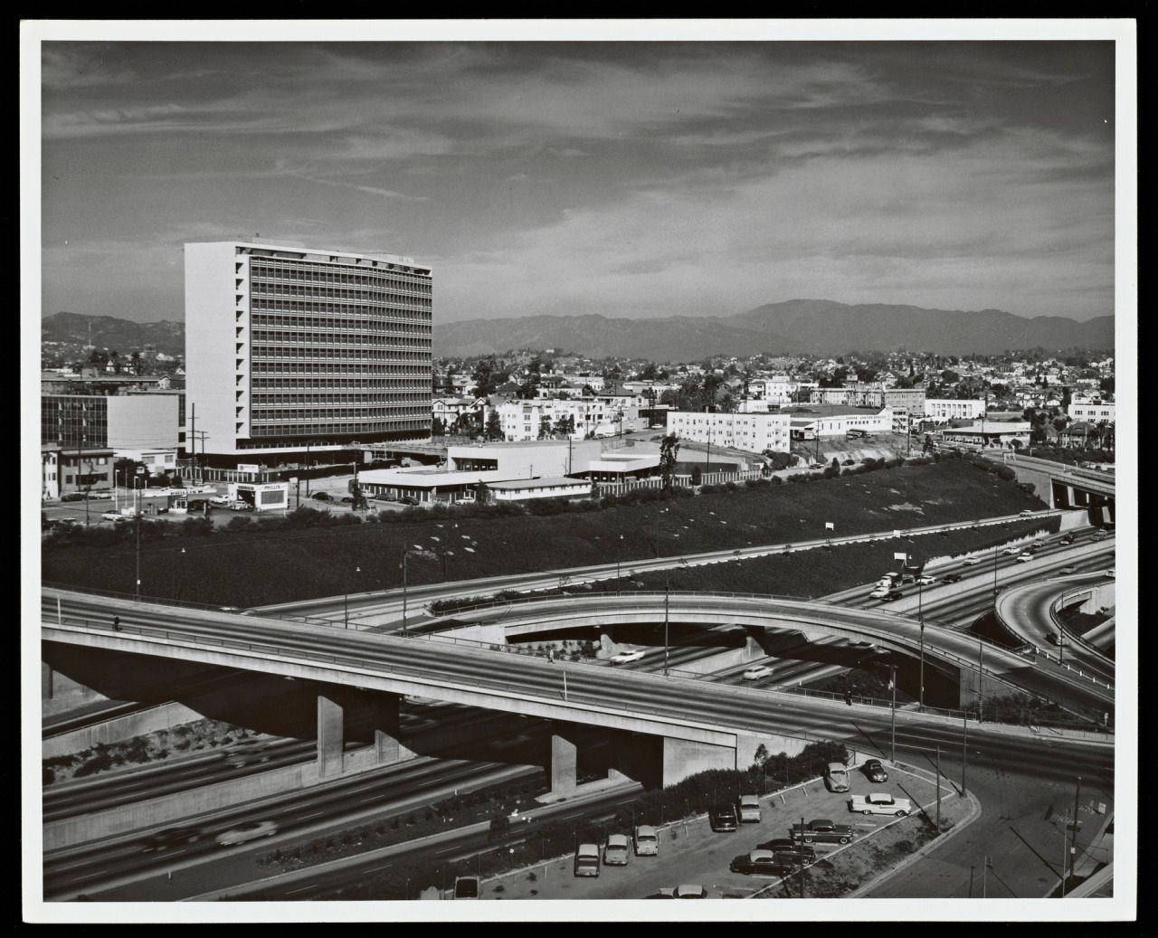
In 1955, the Four Level Interchange that connected the 101 with the 110 had only been open for a couple of years. The section north of it had just been designated the Pasadena Freeway, and the section south of it—the Harbor Freeway—continued to inch towards San Pedro.

The area immediately to the west of the 110 near the stack interchange was a bit of a "no man's land" at that point—too far east to be MacArthur Park or Westlake, and too far west to be Downtown Los Angeles or Center City (and now cut off from it by the freeway).

Some people still call it "City West." Lots of people don't even know it's there.


circa 1957 (Photo: Julius Shulman, Julius Shulman Photography Archive. Getty Research Institute.)

And that's where the former Union Oil Company of California chose to build its LA headquarters, known as Union Oil Center (and after 1983, as Unocal Center).

June 12, 2019

Photo Essay: The Space-Age 'Mystery Islands' of the Wilmington Oil Field

There was a time, not so long ago, when Southern California's beaches were dominated by oil rigs and derricks.

The oil fields on Signal Hill above Long Beach were so densely dotted with derricks, people started calling it "Porcupine Hill."

Thankfully, we've got a better view now.
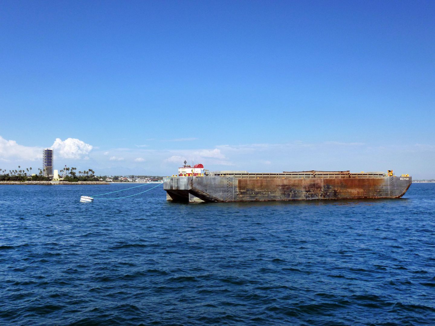

circa 2013

And in Long Beach, the above-ground oil drilling equipment we do have has been relegated to four manmade islands.


These Long Beach Unit islands are known as THUMS, an acronym for the collective of oil companies that partnered to tackle the enormous Wilmington Oil Field—first discovered 1936 and extended to the east in 1961, making it one of the largest such fields in the continental U.S.


They are:
But the "THUMS" entity was later purchased by ARCO and, in 2000, Occidental Petroleum, the predecessor to California Resources Corporation.
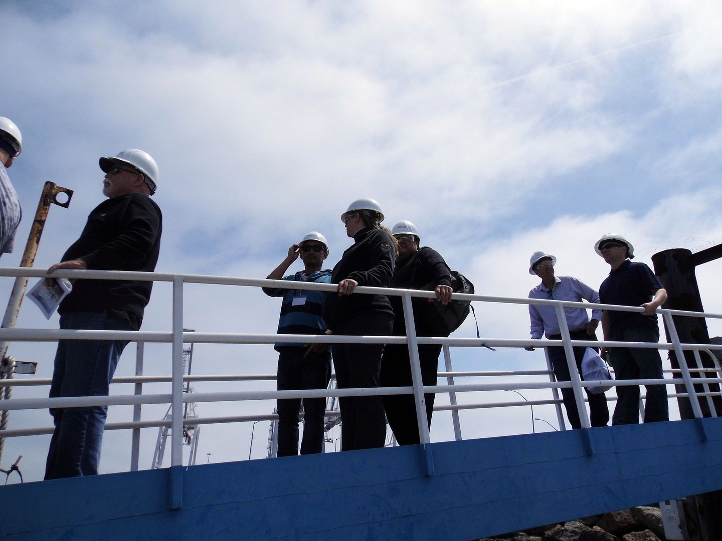


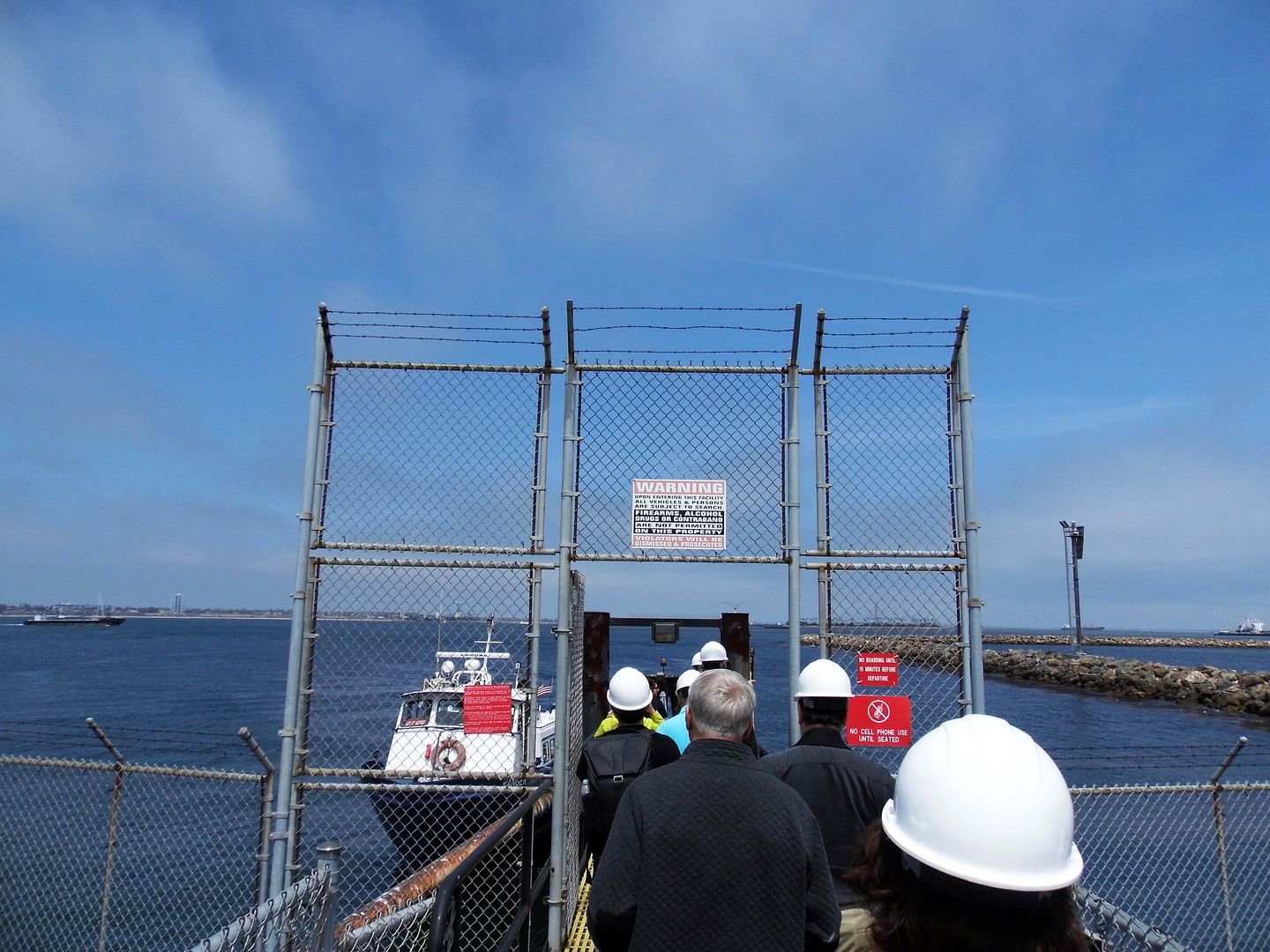
Because of its proximity to both Long Beach and the Los Angeles harbor neighborhood of Wilmington, it requires some cooperation between both cities—which includes inviting community stakeholders onto the islands for occasional tours.
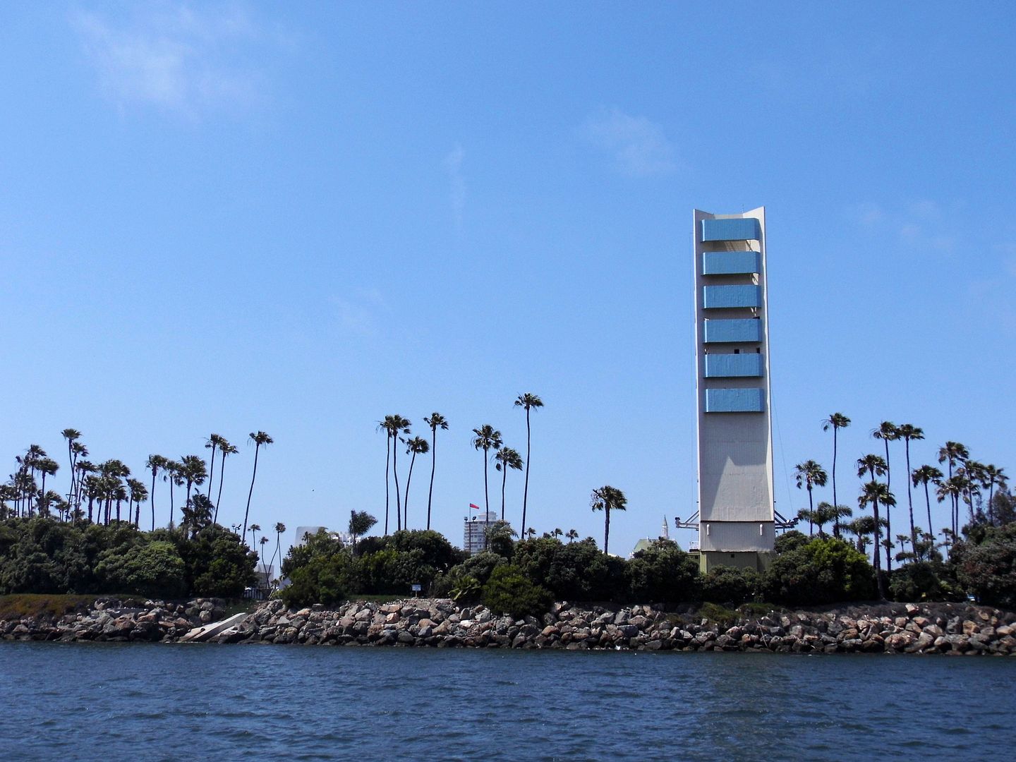


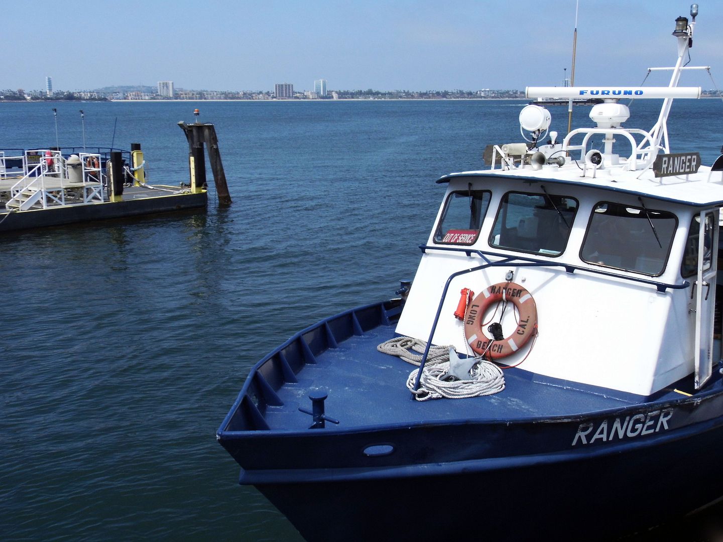
Living in Beverly Hills, I've never had the chance to visit any of the THUMS islands, until Long Beach Architecture Week hosted a tour—and I got to cross this adventure off my bucket list.
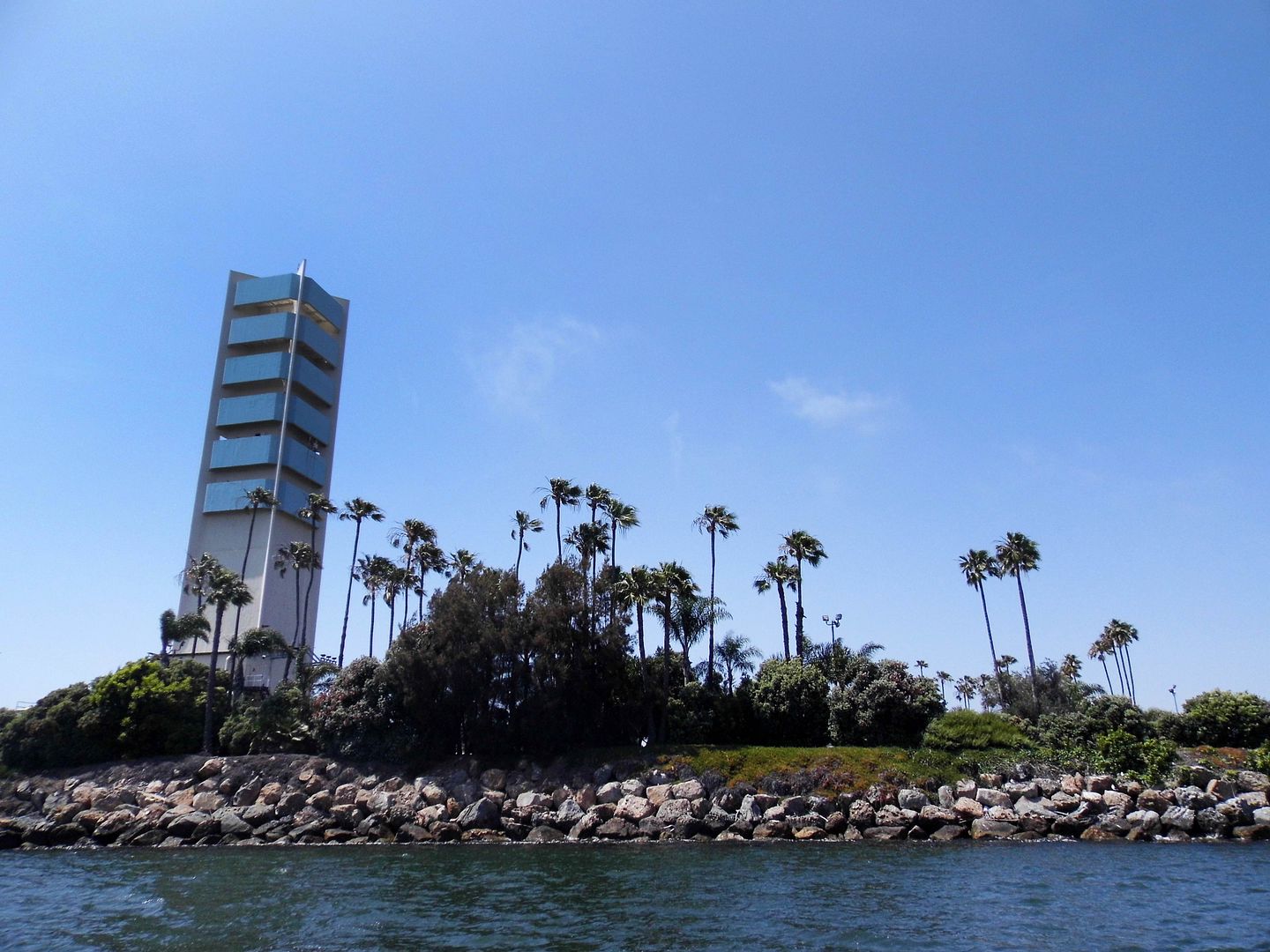


Constructed in 1965 out of 640,000 tons of boulders from Catalina Island and over 3 million cubic yards of sand (dredged from the harbor bottom), the 10-acre "oil islands" took two years to complete. The closest one is Island Grissom, followed by Island White—named in memoriam of Gus Grissom and Ed White, U.S. astronauts who, alongside another island namesake Roger Chaffee, died in the first Apollo mission.
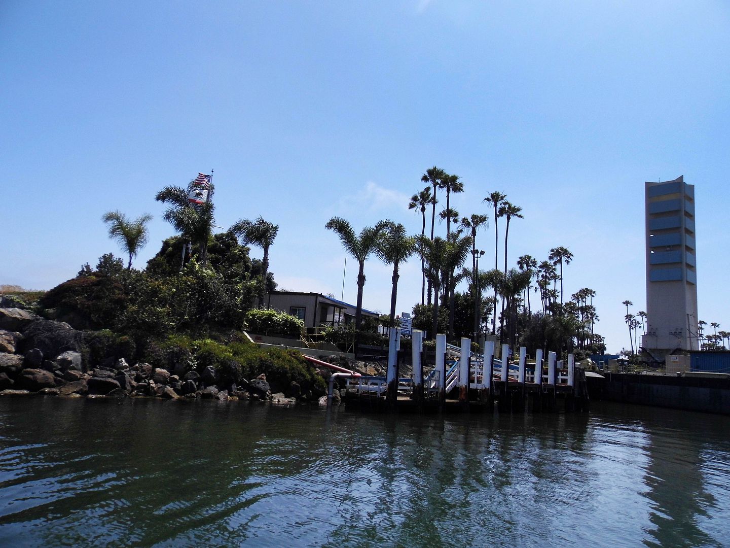


A fourth island, which actually clocks in at 12 acres, is named after another lost astronaut—the first fatality among the NASA Astronaut Corps, Ted Freeman. That explains how the THUMS islands got their other nickname—"Astronaut Islands." It's a fitting tribute, considering Long Beach's aerospace legacy—and it's an improvement over their original names (Alfa, Bravo, Charlie, and Delta), which only lasted until 1967.
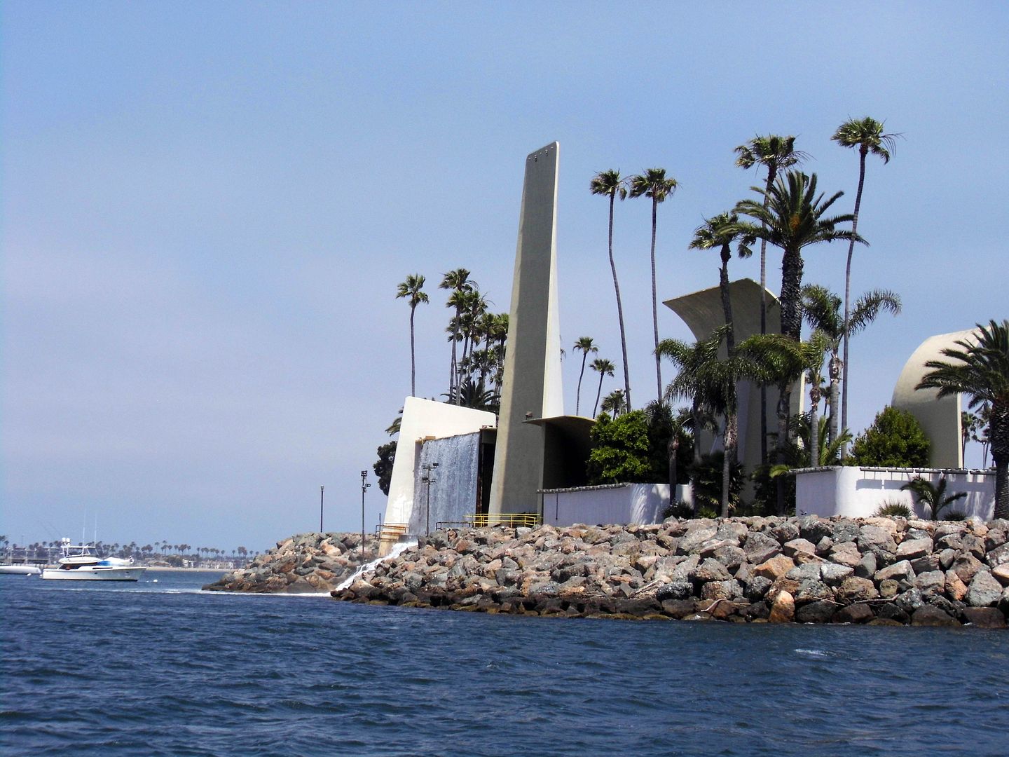


The original idea behind the construction of the islands was to beautify the shoreline and provide some escapism in an otherwise industrial setting. This was just 10 years after Disneyland first opened, and the timing coincided with the optimistic futurism of the 1964/65 World's Fair in New York City—so, it's no wonder that theme park designer Joseph H. Linesch (of the firm Linesch and Reynolds, with his partner Horace E. Reynolds) was chosen to help design the project.
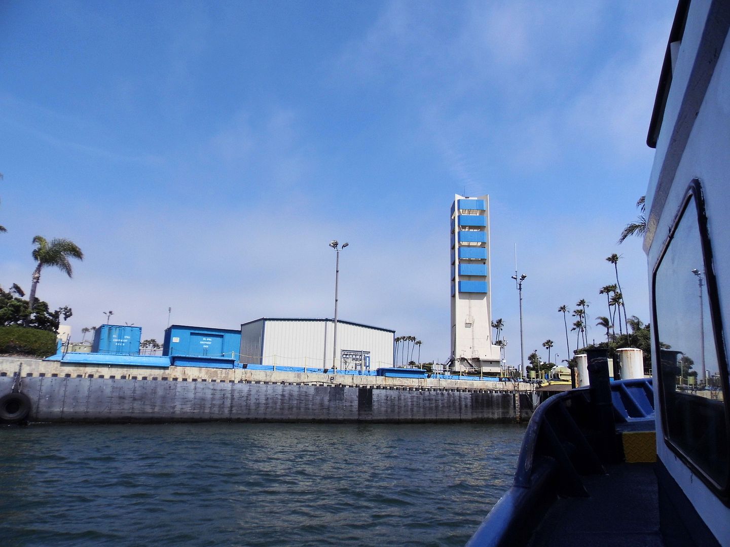


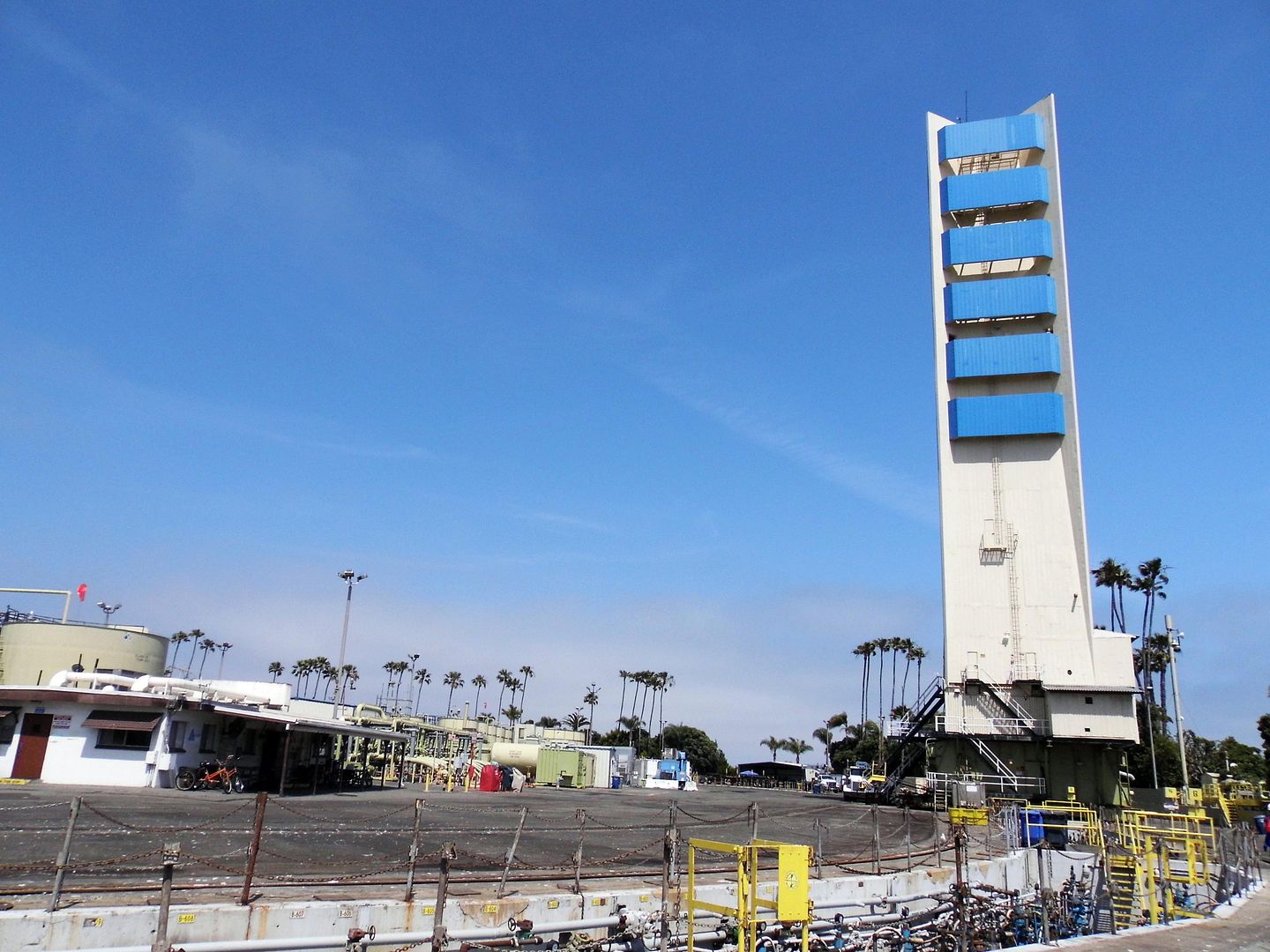
Linesch had already disguised a Venice derrick as a lighthouse and a Beverly Hills one as an office building. On the islands, he ended up camouflaging the oil drilling rigs with "condo-style" soundproof towers that rise 178 feet up out of a thematic landscape that appears to be recreational.
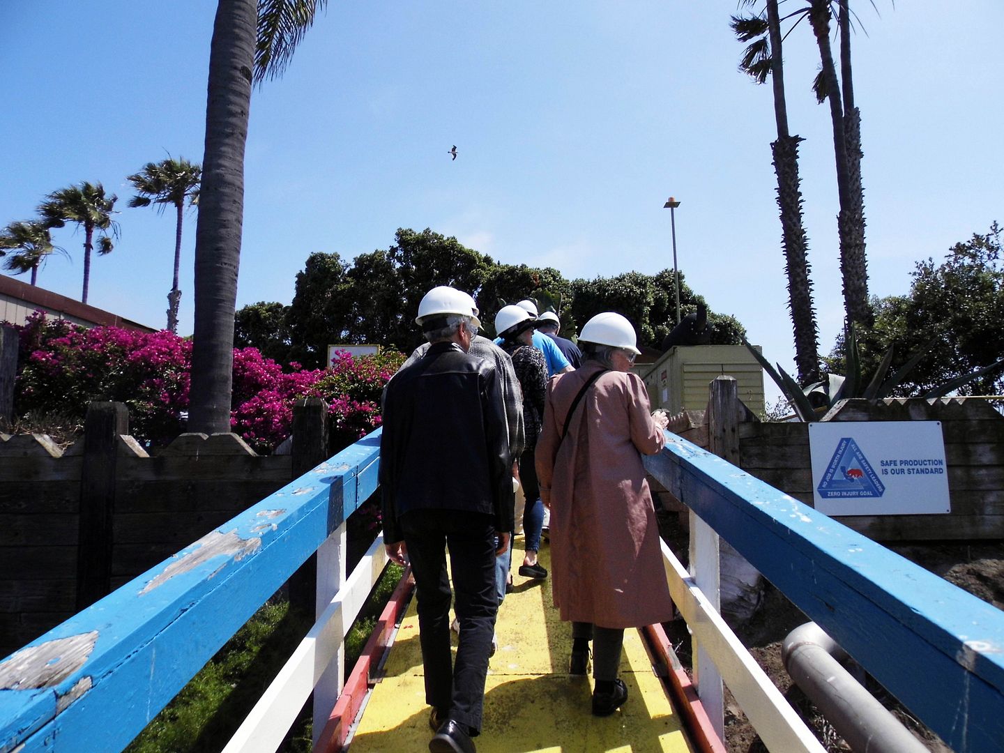


Traveling to one of the islands by boat feels not altogether different from riding the Jungle Cruise at Disneyland, and disembarking somewhat mimics an arrival to Tom Sawyer Island. Then again, Linesch had worked on some landscapes at Walt's theme park, including those of Adventureland, as well as Busch Gardens.
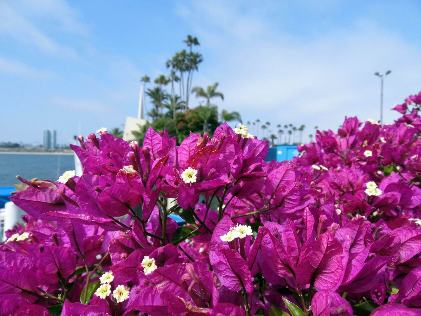


The tropical plantings—from palm trees to bougainvillea—were his idea. They don't really help the islands blend in, per se. But it's not the tiki-fied "South Seas" approach that the City of Long Beach originally wanted, either.
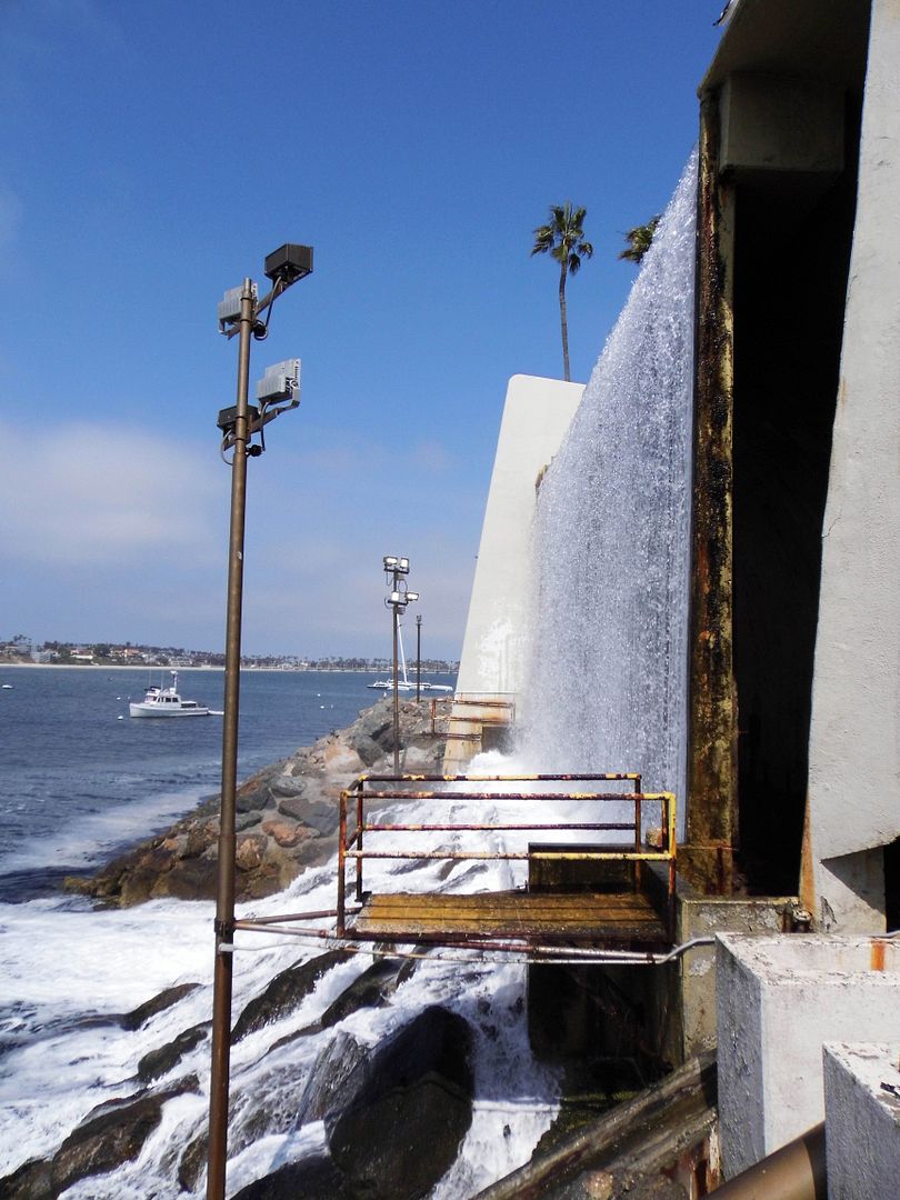


The creation of the entire "fantasy island" environment—replete with waterfalls and concrete "sculptures"—was a team effort that also included architectural sculptor Herbert J. Goldman and Santa Monica's own landscaper, Morgan "Bill" Evans (who'd helped execute Linesch's Disneyland plans with his brother, Jack Evans).
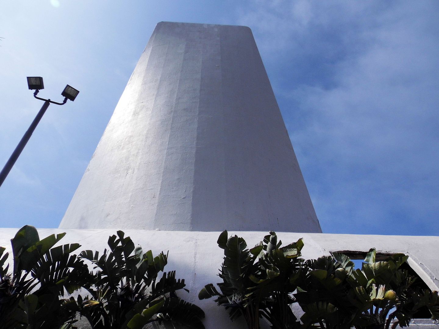


The concrete facades aren't just strangely beautiful in a space-age kind of way (especially when they're lit up in colors at night) but also functional. They help block the drilling noise from reaching the shore—especially since the work never ceases on the island, with operations running 24/7, 365 days a year.
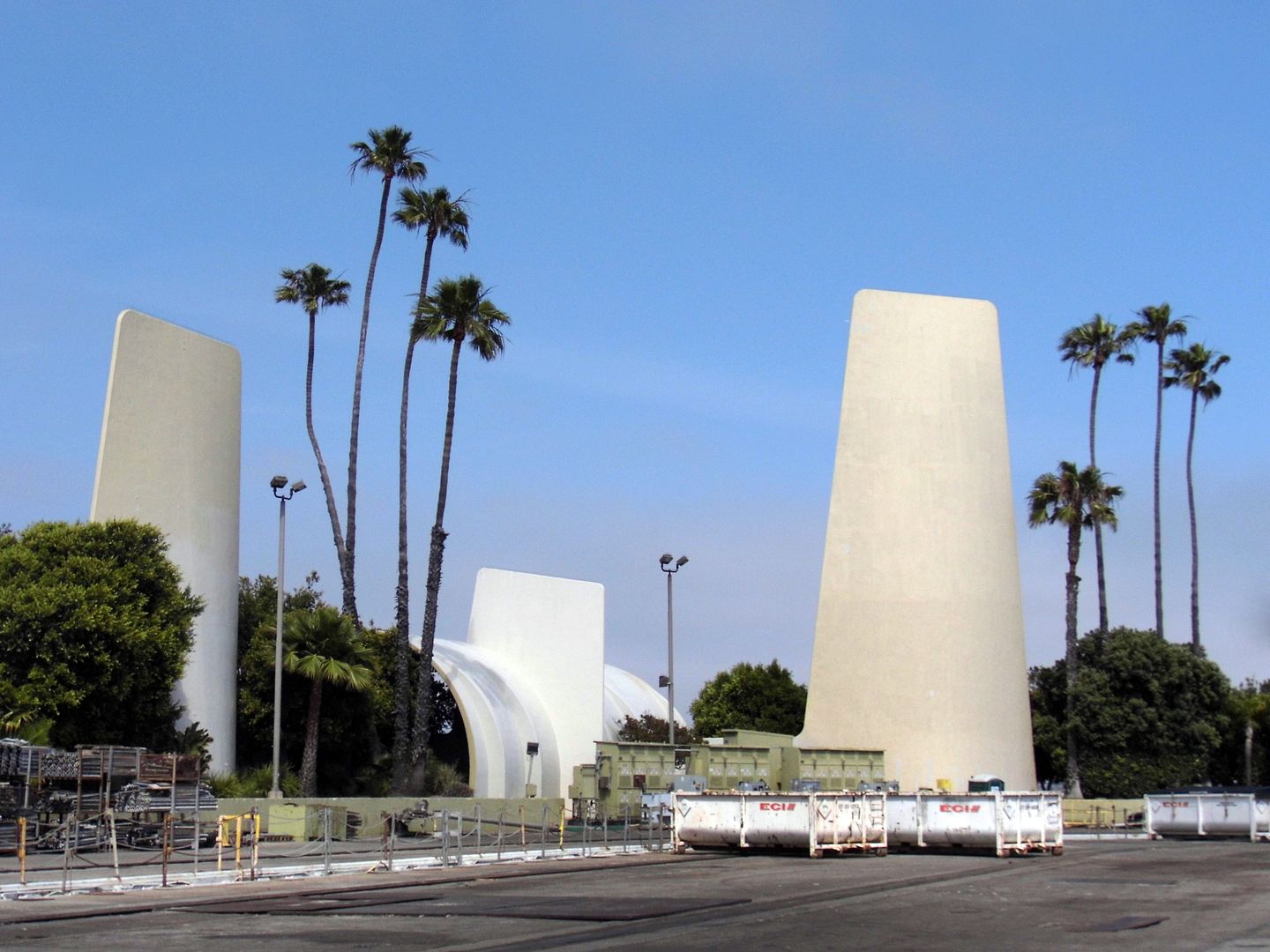


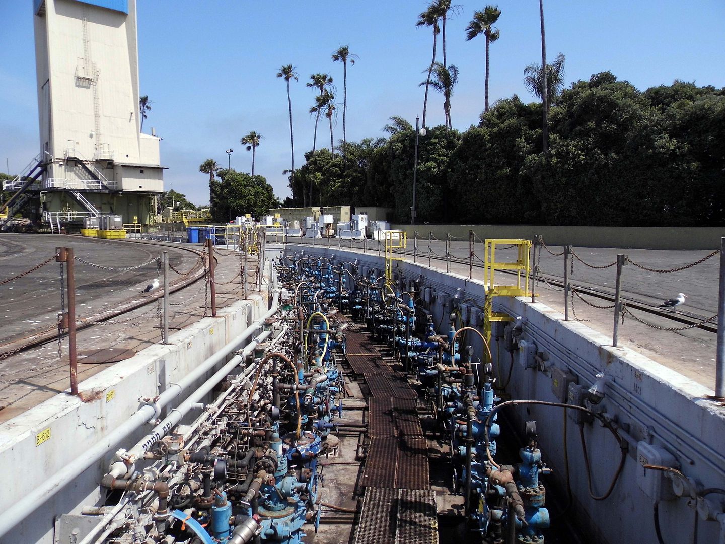
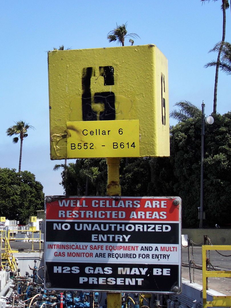
They mask some of the gritty operations from becoming visible to Long Beach residents and tourists alike, too. Although much of the activity happening on the islands isn't above the platforms, but underneath—as deep as 8000 feet! As many as 731 active wells—including horizontal ones—"fan out" under the islands from a single drilling site, minimizing the surface area needed.
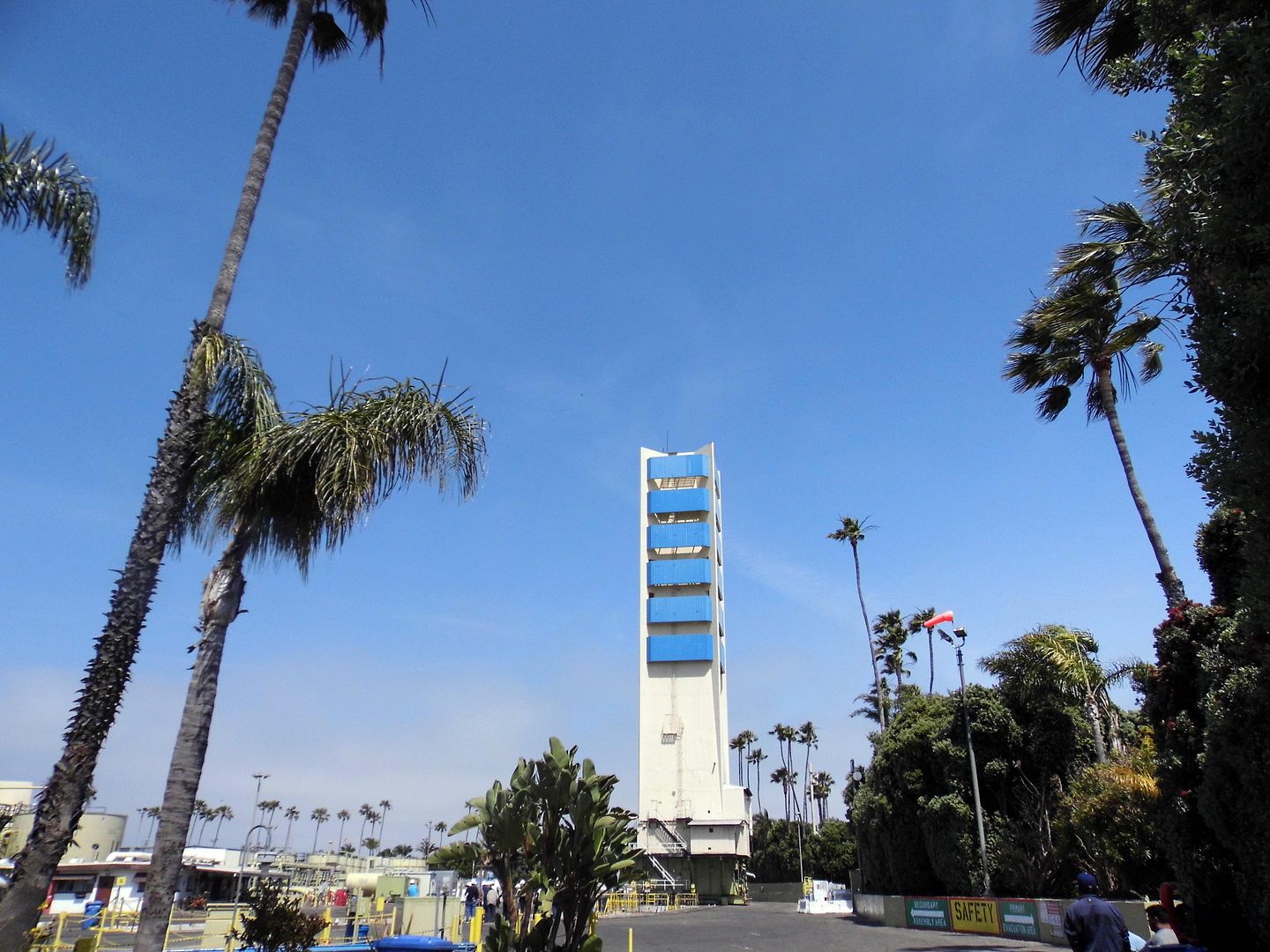


If Long Beach was going to tap into the Wilmington Oil Field at all in the 1960s, it would have to build these islands with technology to prevent the city from sinking. When you extract crude oil, you also get water, silt, sand, etc.—and all that leaves an empty space. From 1930 to 1956, the land surface at the Port sank nearly 30 feet—a phenomenon known as "subsidence"—because there was nothing to replace the void that was left behind.


Now, they keep the islands (and the shore) from rising or falling by injecting (mostly recycled) water  into aquifers, thereby stabilizing reservoir pressures and surface elevations. The whole thing is monitored by sensitive GPS, which tells them when to stop pulling oil and start pumping water, and vice versa.


So far, total oil production for the islands is about 1043 million barrels of oil (MMBO), or 1.043 billion barrels—which is a little more than a third of the Original Oil In Place (OOIP), estimated at 7 billion barrels. They hit the 1 billionth barrel mark in 2011.


Right now, they're getting about 20,000 barrels of crude oil a day. Ultimately, they'll probably get 3 billion barrels total.
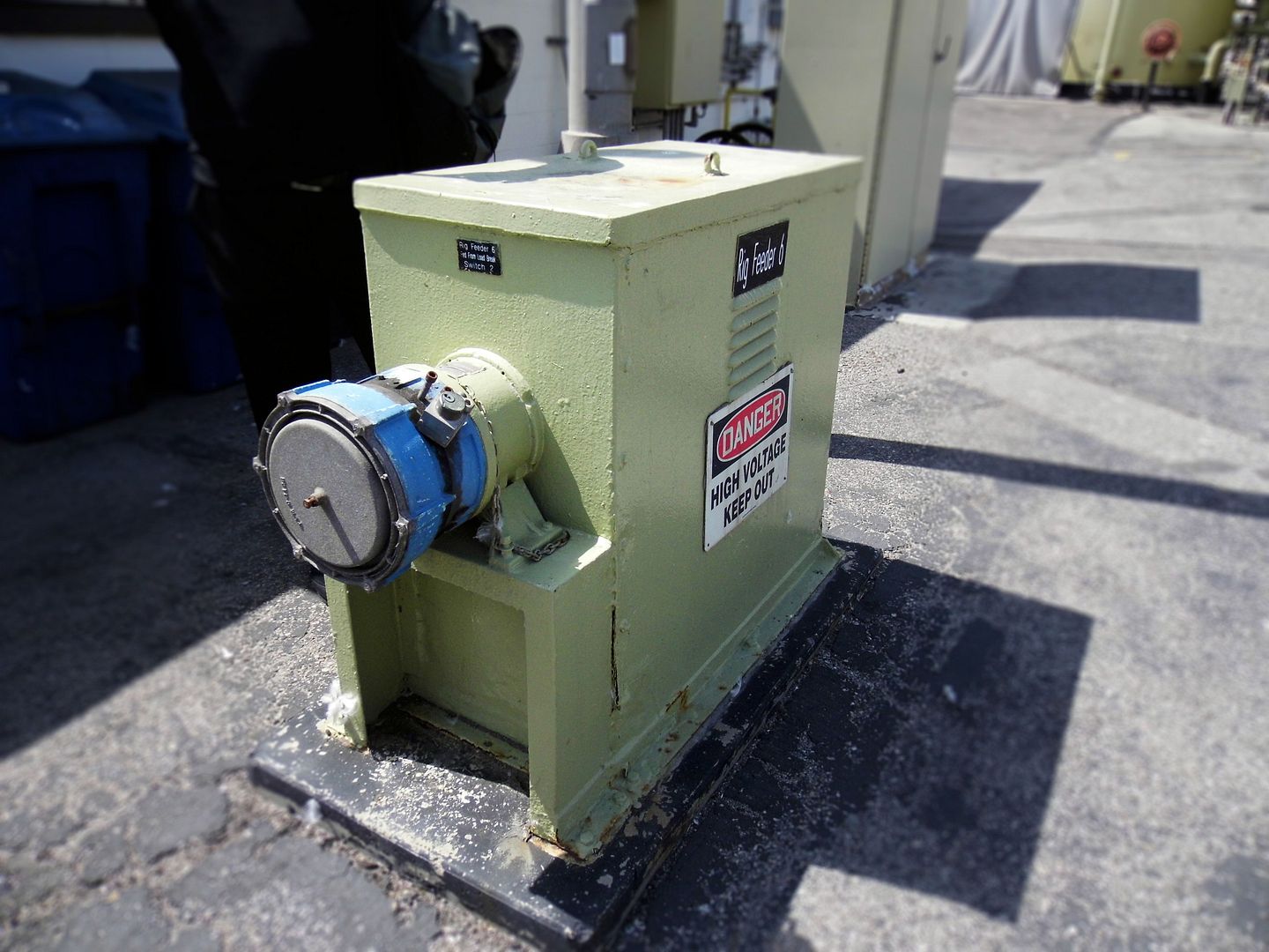


Among the costs that are rising most steeply is actually electricity—for which you can at least partially blame those nighttime lighting schemes and manmade waterfalls.
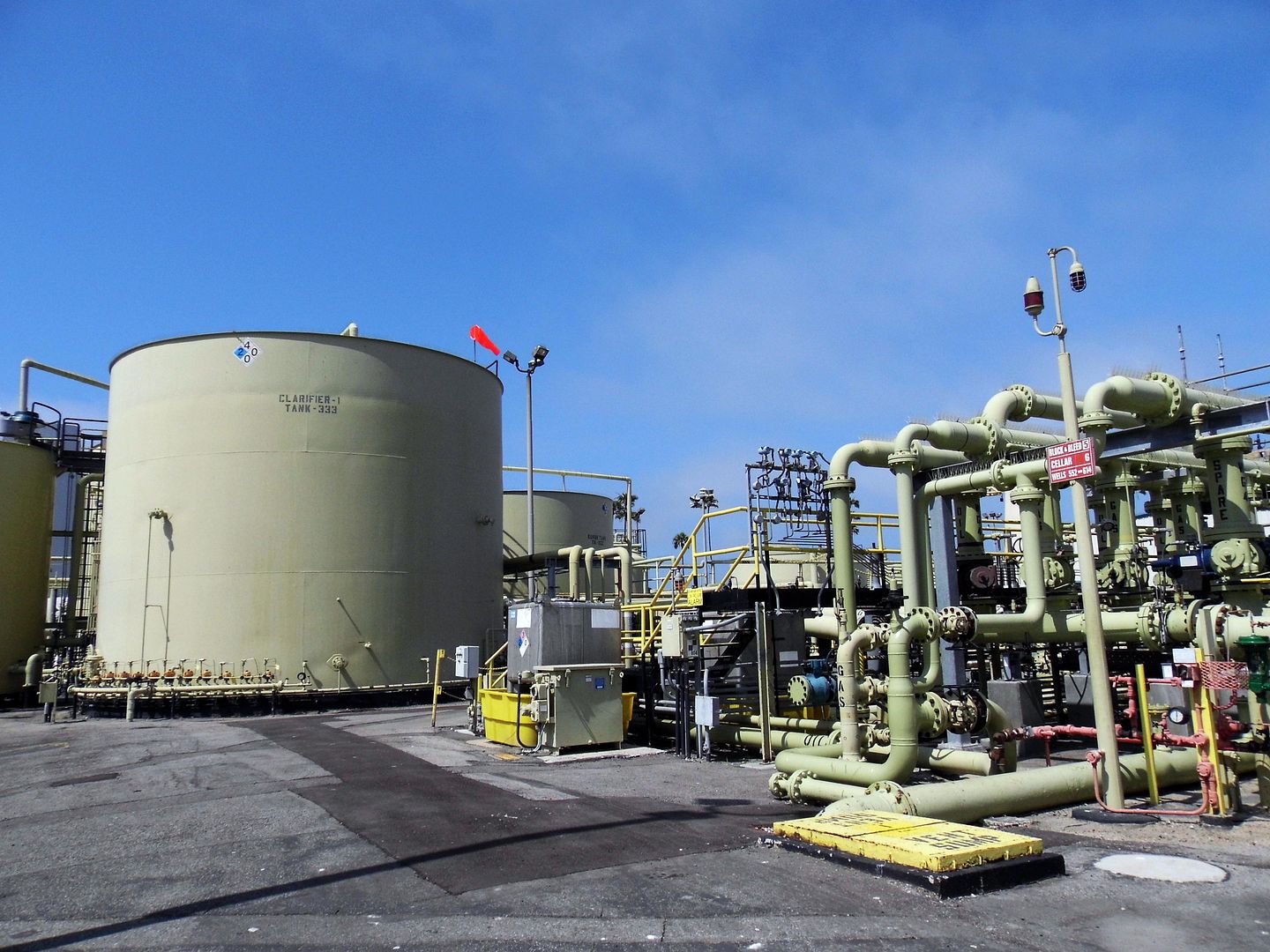


But there's more to the THUMS island operations than just drilling oil, pumping water, and beautifying the whole process.
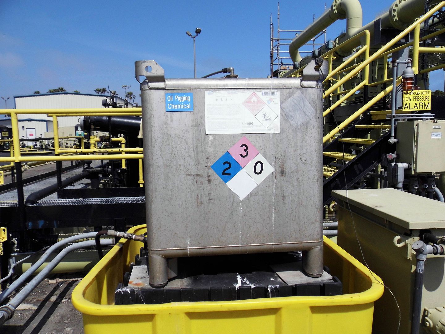


There's also pigging.
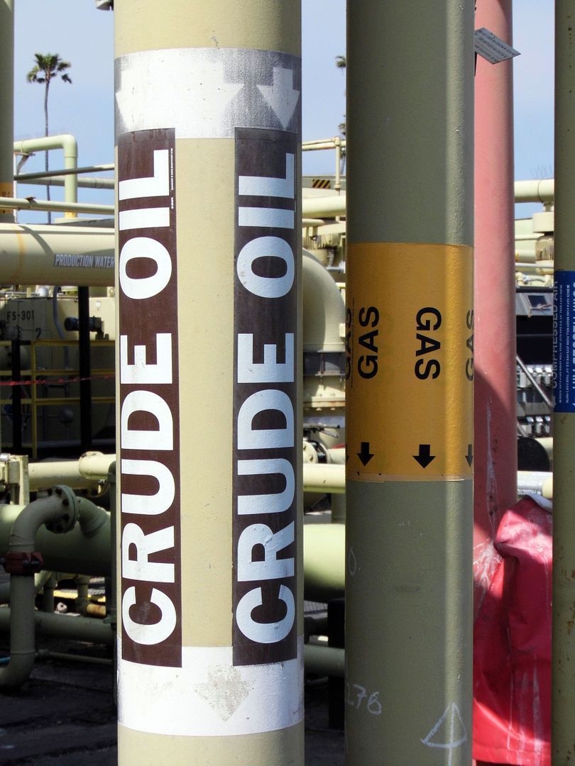


That's the term used for how they clean out and inspect the pipelines.
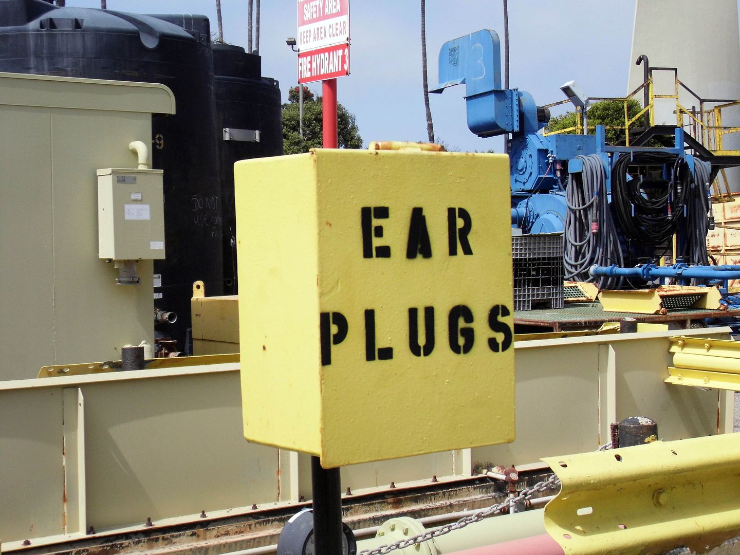


Apparently the first apparatus ever used in such a manner sounded like it was squealing like a pig.
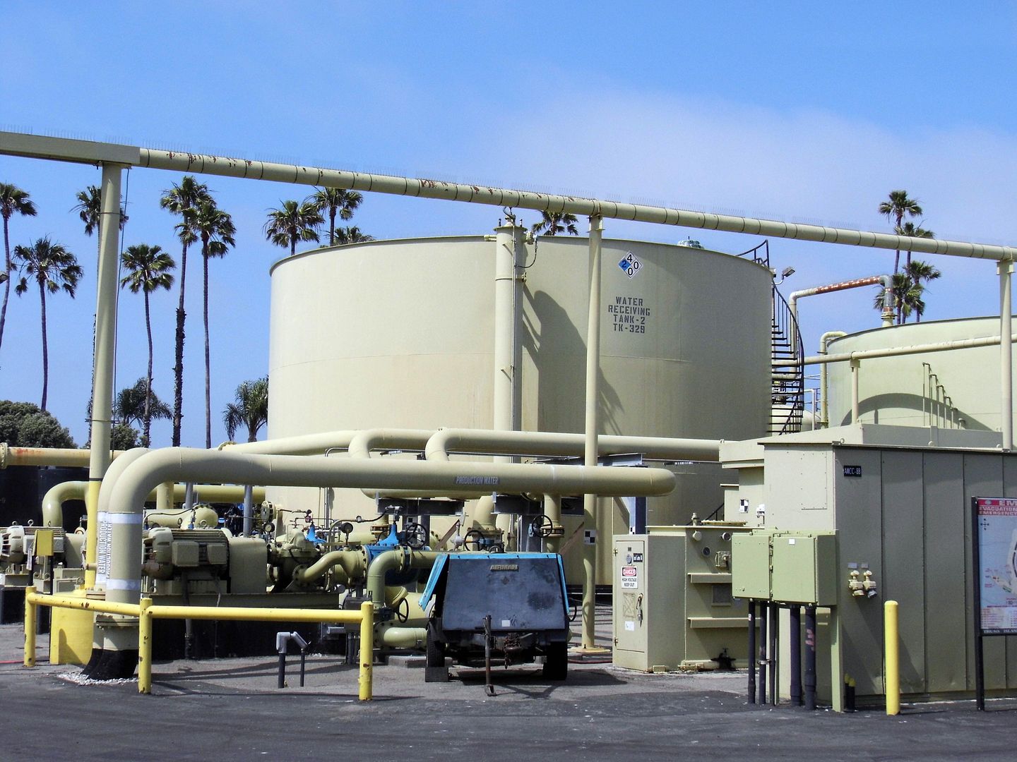


And that's one sound the Long Beach neighbors definitely don't want to hear.
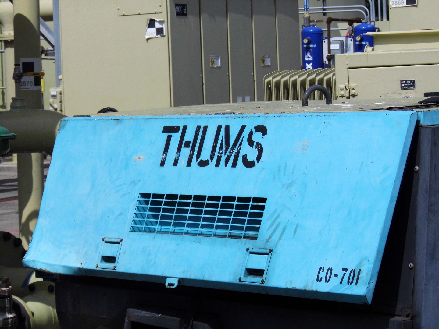


The THUMS islands have captured the imaginations of all those who've noticed them—either from the shore or by boat. Adding to the mystery is the fact that the "buildings" actually move along a track around the circumference of the islands, depending on where they need to drill.
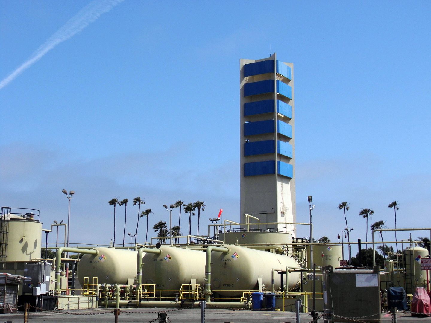


Long Beach never exactly became the "Riviera of the West," but people still mistake the oil islands for offshore hotels or even casinos. Local businesses are quick to perpetuate the myth.

When the islands were built, it was estimated that they'd only be in operation for 35 years—and after 1990, they'd be turned into amusement parks.

I guess back then, nobody considered the decontamination that would need to happen before any of these islands could be used for pubic recreation. Many former oil fields are now superfund sites.

But the oil islands will eventually stop producing oil and will close.

I hope we get to keep them.

Related Posts:
The View By Boat
Photo Essay: Chevron's El Segundo Refinery
Photo Essay: Ventura Oil Refinery, Abandoned - Part 1