Search

January 31, 2020

Photo Essay: The World's Largest Manmade Lake, and Its Dam Keeper's Rock House Ruins

Adapted from my article "Five Most Fascinating L.A. Dams, Where Disasters Struck and Catastrophes Were Averted," via KCET.org

In the late 19th and early 20th centuries, there was one surefire way for man to conquer nature in Southern California: Build a dam.

With dams, water agencies could control the flow of raging rivers, stockpile emergency water supplies and even create giant lakes out of natural dry (or mildly soggy) basins.


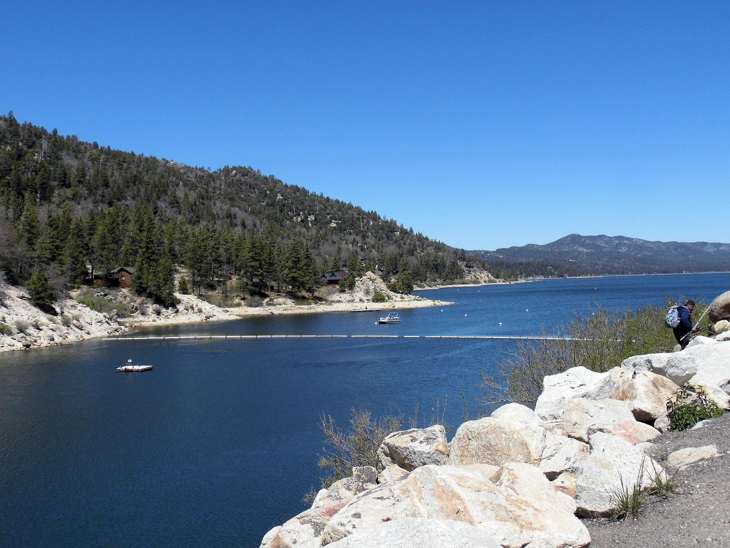
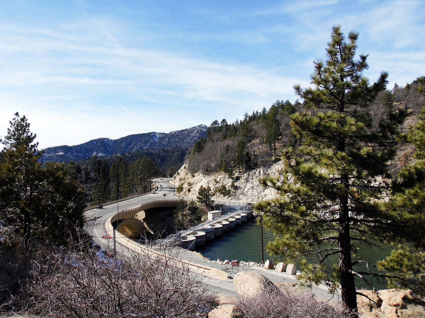
For instance, the construction of a single-arch rock dam (one of the first in the U.S.) formed the world's largest manmade lake, Big Bear Lake, in 1884. Farmer Frank Brown created it in order to use its water to irrigate the citrus groves of the arid agricultural townsite of Redlands (at the time, known as "Red Lands Colony").


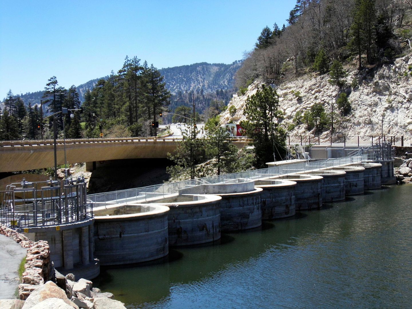
With increasing water demands, a new, multiple-arch dam replaced Frank Brown's old one in 1912—just 200 feet to the west and 20 feet higher. But that was enough for the replacement dam to triple the capacity of the lake.


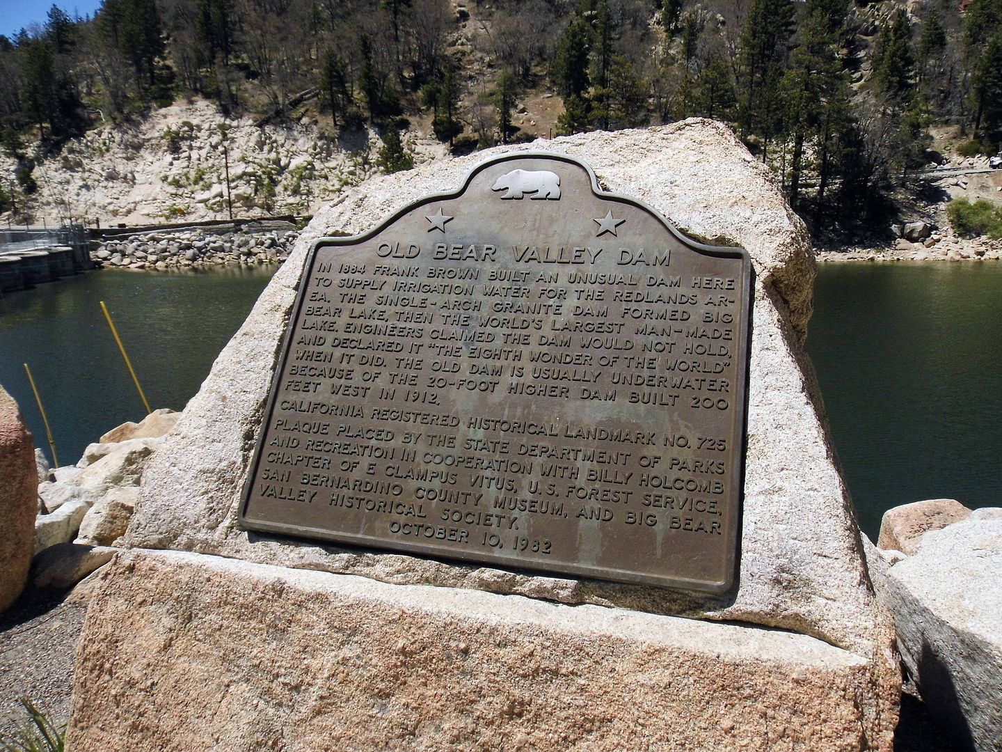
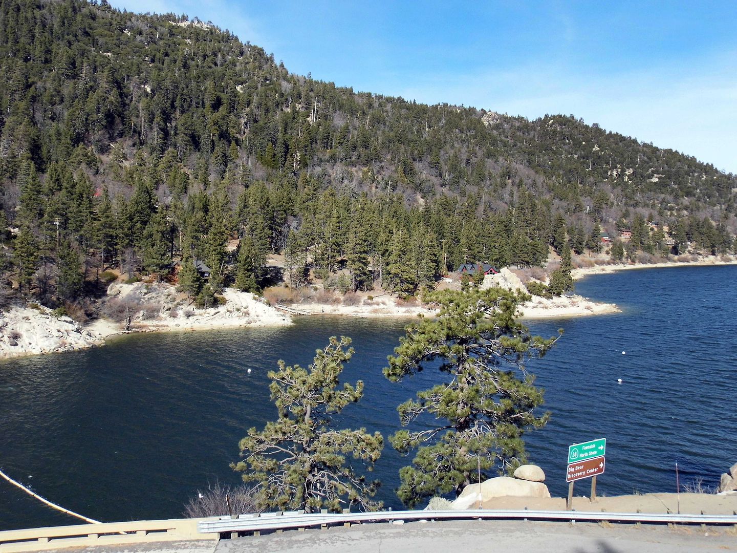
Nowadays, when the lake’s water levels are high enough, The Old Bear Valley Dam is submerged underwater—but it’s there, marked by a historical plaque near the juncture of Big Bear Boulevard and North Shore Drive.


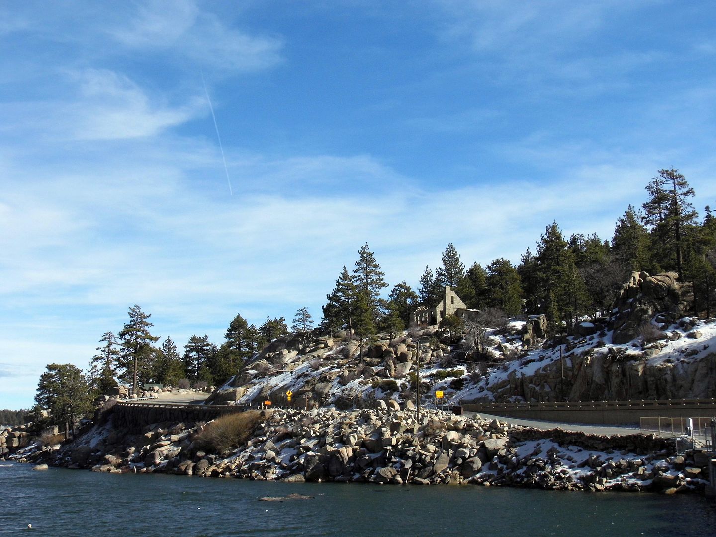
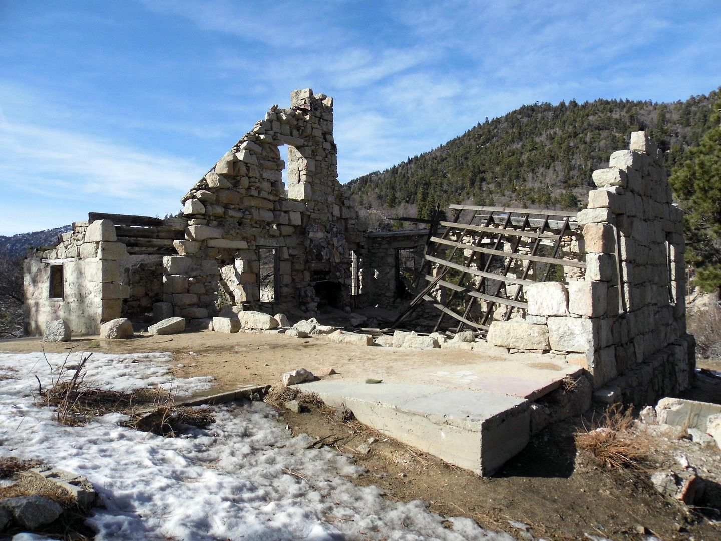
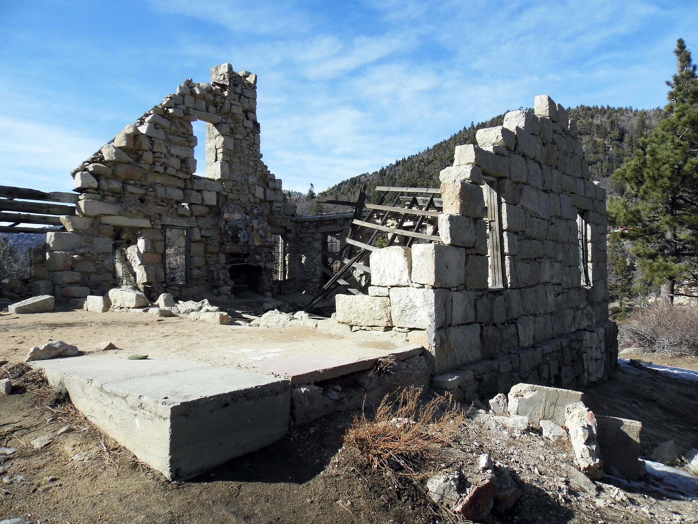
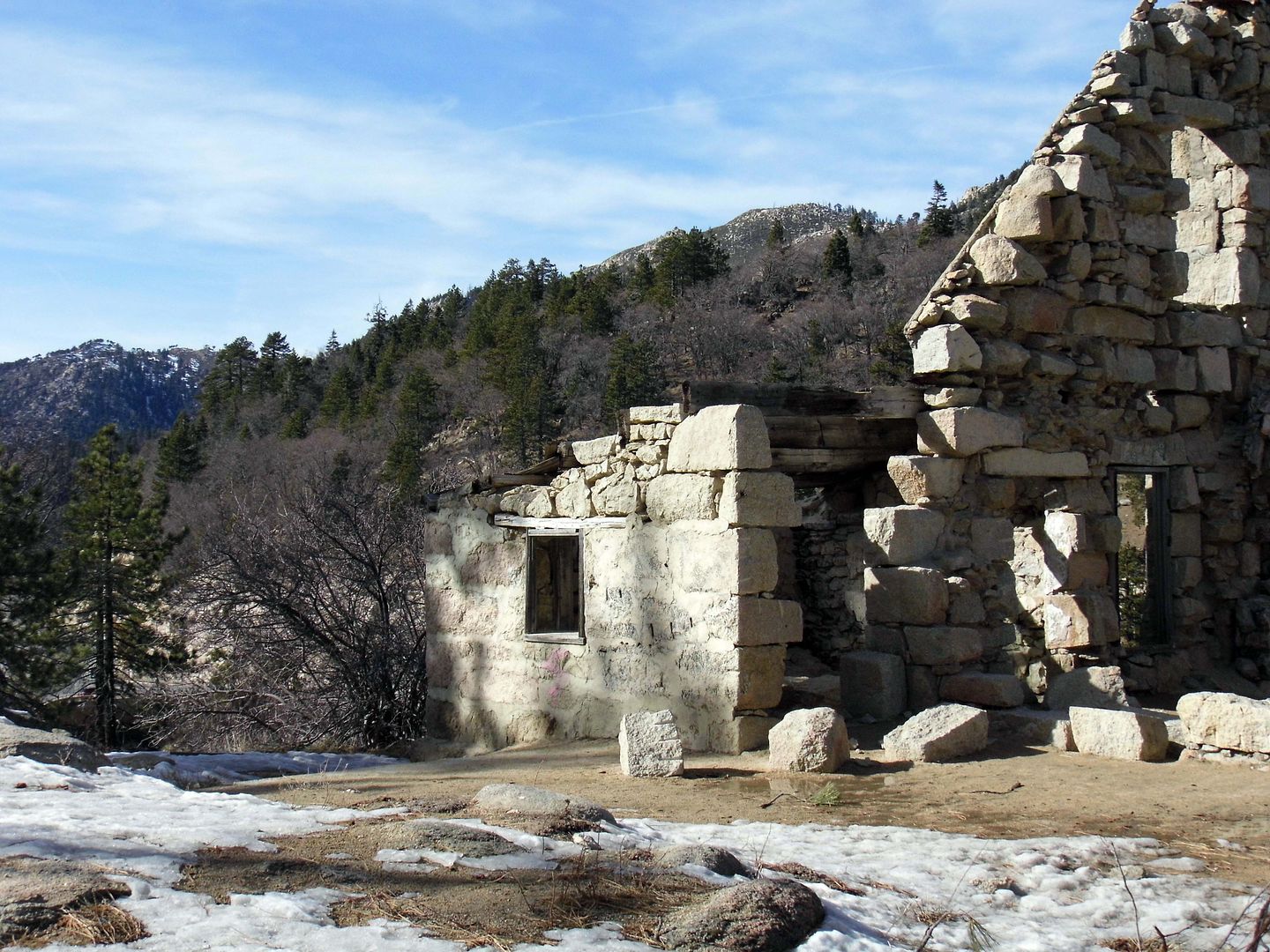
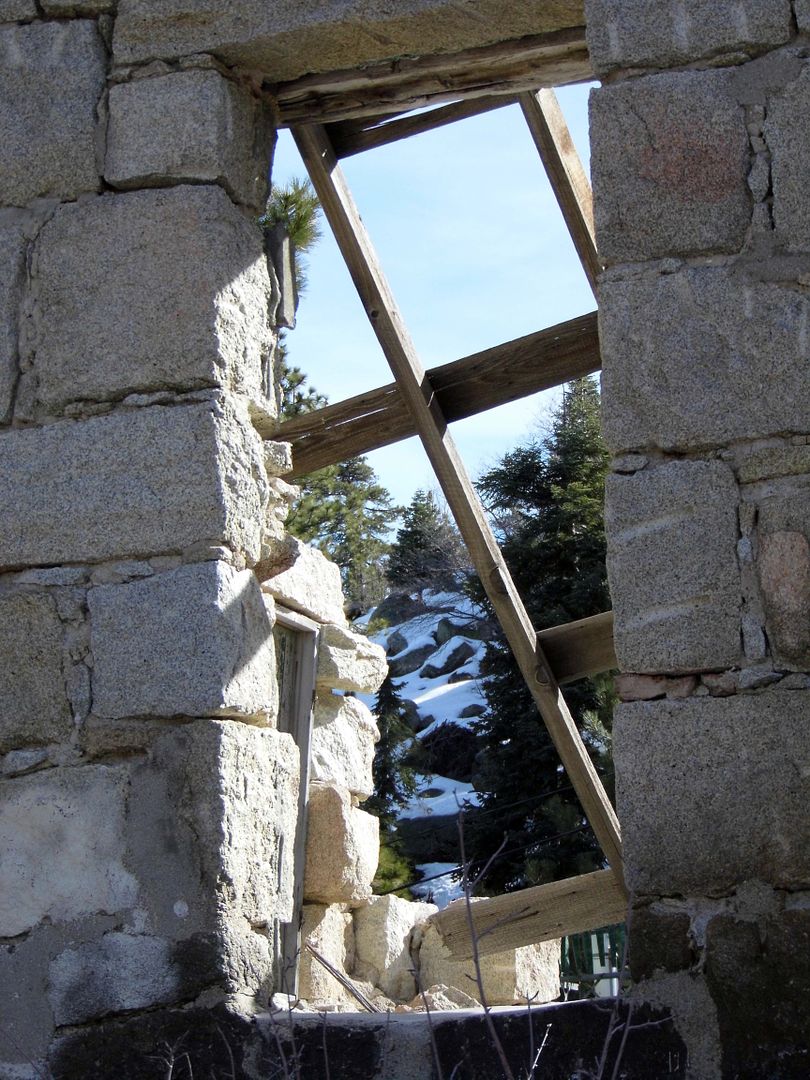
A little farther down Big Bear Boulevard (a.k.a. State Highway 18) are the granite ruins of the former dam keeper’s house (circa 1890), perched atop a hill, also built by Frank Brown.


He needed to build it out of stone (and the same hand-cut, locally quarried rocks that formed the dam)—because its log cabin predecessor burned up in a fire.


Because it was important for the water company office in Redlands to stay in touch with the dam keeper, the Bear Valley Land and Water Company built a telephone line in 1891 that stretched 24 miles.


For decades, it was the only mountain telephone connection in the area—and in 1905, the newly founded Forest Service also counted on it to reach its rangers in the mountains.


Over a dozen dam keepers and their families occupied this rock house until as recently as 1977.


That's the year that the Municipal Water District ceased to irrigate Redlands, relieved the dam keeper of his duties, and donated the stone house to the Forest Service.


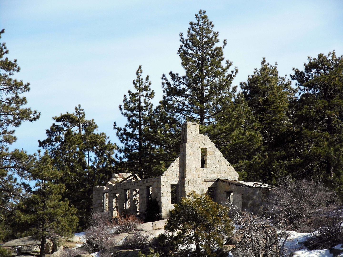
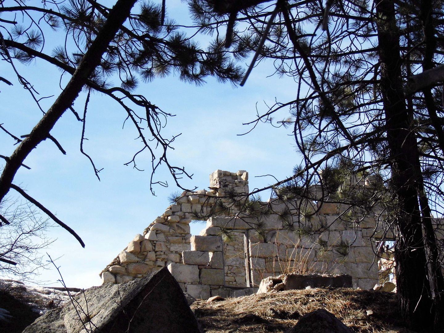
Unfortunately, the Forest Service has allowed the dam keeper's house to languish.


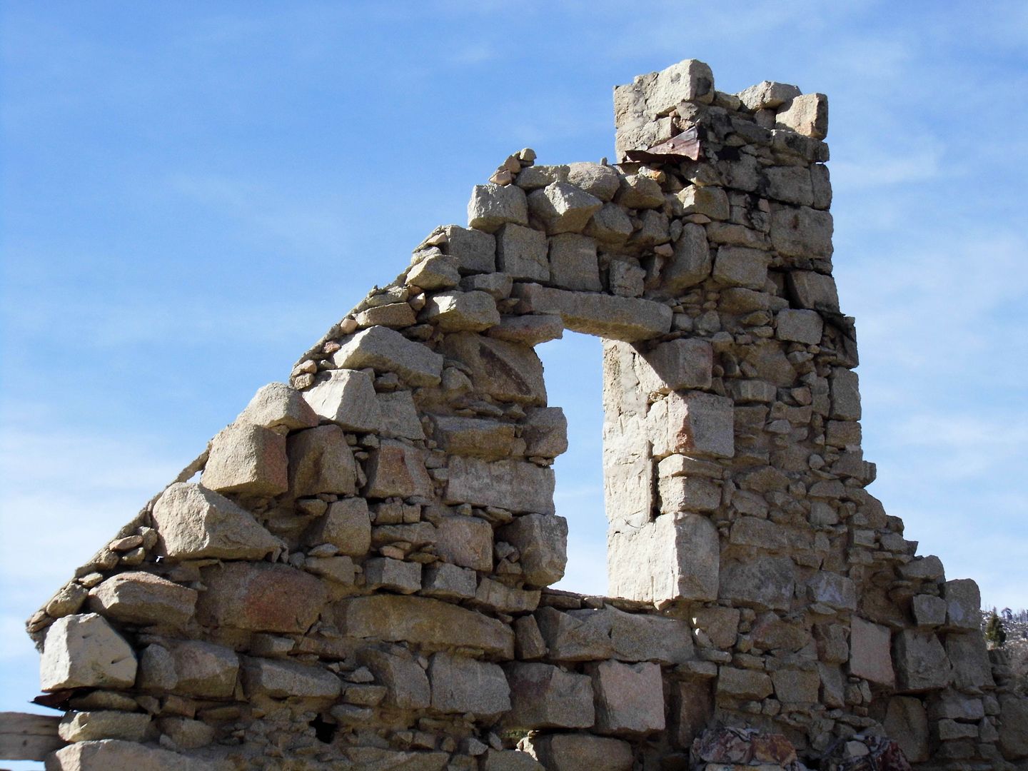
Its roof has caved in, most of its timber gone.


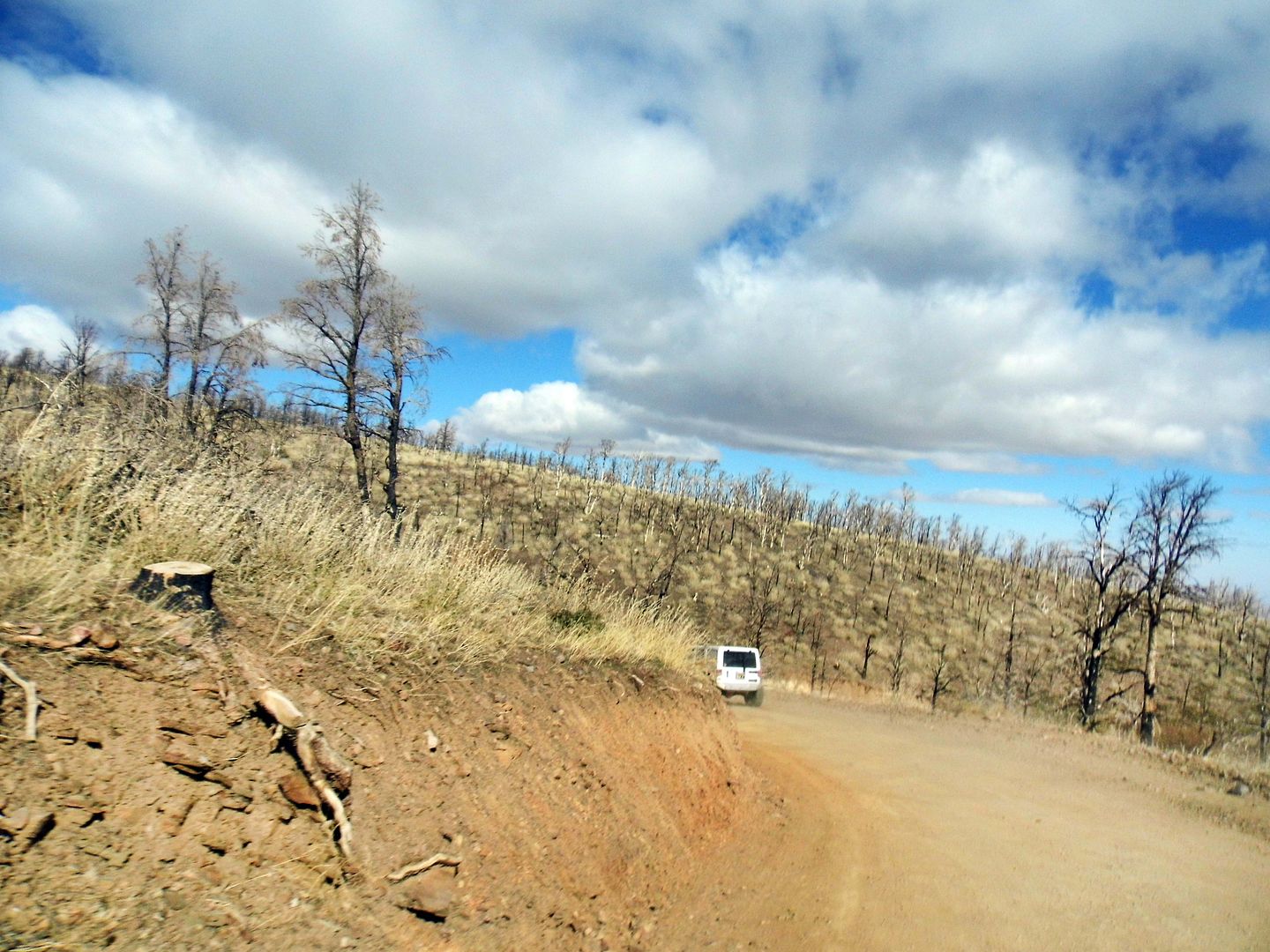
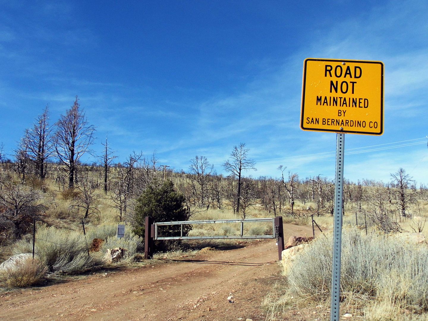
It's accessible up an access road called Stone House Lane—marked as private, but the historic site itself is open to the public, per the Forest Service. Just don't enter the structure. And it's probably best to park off the main road and walk up.


Though the dam and lake began as part of the Bear Valley Irrigation Company, they're now managed by Big Bear Municipal Water District, which maintains Big Bear Lake for recreation and wildlife.


Reportedly, the dam keeper's house was used as a filming location for The Bride of Frankenstein—in which it served as the cottage home of the blind hermit whose violin-playing lured the monster inside.

Watch a clip here:


To read about more fascinating dams in Southern California on KCET's website, click here.

Related Posts:
Photo Essay: An Abandoned Silver Mining Castle Along The Loneliest Road
Photo Essay: San Marcos Mountain Lodge, a.k.a. Knapp's Castle
The Church Is Not The Building: Dispatches from Fire-Torn Paradise, CA

Shifting Into Low Gear for a Gold Mining Ghost Town Adventure (in a Jeep)

It wasn't until about two and a half years ago that I realized there was any gold-mining history to Big Bear—the mountain community in San Bernardino National Forest probably better known for its ski resorts and, well, bears.


The only problem is that the only way to explore that history first-hand is to either hike to it or drive to it in a vehicle that can handle the unpaved, boulder-littered Forest Service roads.


So I got behind the wheel of a tricked-out, 4WD-equipped Jeep...


...outfitted with a two-way radio so my guide, Desi, could talk me through the tough parts.


We turned off of Big Bear's North Shore Drive and onto Polique Canyon Road—which is where things get interesting. The sign said we wouldn't be "off-roading" per se, but that's because we would be staying on the designated trails.


Those trails are not the types of roads that you're used to when driving a Honda.


And because it's winter, there was some snow, slush, ice, and iced-over water crossings to tackle.


It's hard to believe that the now remote area of Holcomb Valley was once bigger than Big Bear, with its gold-mining operations. Not only were there the miners themselves—often housed in temporary dwellings—but also the requisite saloon, bordello, supply shops, and what have you.


They had mules and donkeys to transport themselves and their supplies through this rugged terrain—where most of the structures are gone, having been razed or relocated. The visible signs of its mining history consist of a couple of gravesites, prospecting holes, and leftover tailings (or big mounds of excavated dirt).


Now, it's a wonderland of rocks and alpine forest marked more by its natural obstacles than its manmade landmarks.


On a Jeep excursion like this, you can't just try to avoid the boulders. You've got to set your tires squarely in their path so you can crawl over them.


You can't accelerate too much or your tires will just spin. When you're in 4 Low, the Jeep wants to move forward. You have to brake to keep it from going too fast.


It's probably the most fun—and most nerve-wracking time—you can have going just 1 mph.


There's another adjustment you've got to make to conquer this terrain—let some air out of the tires. By deflating them from, say, 40 PSI to 12 PSI, you increase the amount of surface area that can grab onto the rocks. On a paved road, it feels like you're driving on pillows.


When driving through water (sometimes deeper than 2 feet), it feels almost like you're swimming. And no matter how slow you go, you still get covered in mud.


Although mining claims are still allowed in Holcomb Valley, most visitors come out here to either crawl or climb the granite rocks—particularly in an area known as the Holcomb Valley Pinnacles.


We, however, trudged on—as my driving leg started to get a little sore and my neck and shoulders tired of craning to see where my driver's side front tire would land.


Fortunately, the tires on my borrowed Jeep were wider than the body itself—so in an area known as "The Squeeze," I just had to rub the tire below me against the boulder to my left and I'd surely clear the right-hand side, despite not having a passenger to help spot me.


For me, that was the mildest of all the white-knuckling moments along the Gold Fever Trail. I was much more worried about rolling over or even just having any of my tires spinning in mid-air.


Bt as we reached the final stretch of our excursion, I was negotiating all the obstacles without instruction. The radio had gone silent—and I was on my own.


The silence was a fitting soundtrack for rumbling through the burn area of the 2017 Holcomb Fire, which scorched the East Valley hillsides above Baldwin Lake just over a month after my last trip to Big Bear.


It's going to take a while for the landscape to recover. But it eventually will.


Fortunately, the 2017 wildfire didn't destroy what's left of the circa 1875 stamp mill of the Doble Mine (a.k.a. the Lucky Baldwin Mine), situated above the former town of Doble (known before that as Bairdstown, sometimes called Gold Mountain City).


But I'm guessing most visitors to Holcomb Valley aren't there for the mining history.


And even though I was, I found myself discovering it in a fascinating way—behind the wheel of a vehicle I never thought I could control (or would even want to). Desi says he never worried about the safety of his Jeep. And that's really saying something.


The irony of this excursion is not lost on me. When we emerged from the Forest Service Road 3N16, we were a 5-minute drive or about a mile and a half as the crow flies from where I got my Honda Fit stuck on Cactus Road, trying to get to Big Bear after accidentally winding up on Forest Service Road 3N03.

But this time, I was prepared. I could shift into low gear. I had a pace car leading the way and a radio to call for help.

And I wasn't scared—at least, not most of the time.

I was, however, kind of relieved to give the Jeep back to Desi after more than two hours.

Related Posts:
Photo Essay: A Summer Visit to a Gold-Mining Ghost Town Destroyed By Winter
Photo Essay: A Watery Surprise Near Death Valley

January 22, 2020

Dipping Into the Ancient Hot Waters of Tijuana's Thermal Springs

As adventurous as I am, I still sometimes find safety in numbers.


So when my trip to a Tijuana mineral springs with the tour group Turista Libre got canceled last year, I didn't choose to go on my own instead.


I chose to wait—a whole year—until it was offered again.


Before Tijuana became a liquor-soaked destination of legal boozing (and gambling) during Prohibition, its main draw was actually its natural hot springs (agua caliente), formed ages ago by volcanic eruptions and seismic activity.


One such thermal spring (aguas termales) can be found next to the Tijuana River at Valparaiso in the Buenavista neighborhood of Tijuana, where health-seekers and border-crossing tourists have flocked since the late 1940s (according to Newsweek Mexico, 1949). 


Valparaiso—which translates to mean "Paradise Valley"—offers day access to its jacuzzi, outdoor hot springs, sauna, and cool pool, as well as spa therapies like massages.


I went outside of my comfort zone and signed up for a massage without knowing how much it would cost or how to communicate any preferences to my therapist.


Somehow it all worked out...


...and once I was thoroughly worked-over, I was ready to spend some free time exploring the rest of the property.


It's both rustic and tropical, with thatched sun umbrellas...


...and rock-hewn arches, retaining walls, walkways, niches, and more.


The characteristic red dome—part of Valparaiso's logo—is where you'll find the thermal jacuzzi.


It's not a "hot tub" per se—it's much bigger than that, and there are no bubbles or jets to enjoy—and the smell of sulfur in there can be overwhelming.


Silence is required for meditative purposes—but the locals completely disregard that rule and whoop it up in there.


The acoustics are incredible, so the absence of sound would be a shameful waste of the architecture.


The secret about Valparaiso that I found out soon after my massage was over was that there are also hot springs to enjoy al fresco...


...simply by climbing those rock stairways up to the top of the hill.


Up above a kind of mezzanine (or mirador), you reach a flat stone pathway marked by a list of regulations—to wear swimwear and shower first, and to not run or bring glass bottles.


We'd made a beer run at the convenience store near the border, so we were already well-armed with cans. Hopefully boozing it up with cervezas and tequila wouldn't negate the healthful effects of a good mineral soak, in 100-degree waters touted to contain sulfur, calcium, magnesium, and more.


After all, I needed a little boost to my circulation and immune system, for my cells to get oxygenated, and to expel some toxins. My vital organs needed some TLC, my metabolism to get a bit of a kickstart.


Who doesn't need an increased sense of physical and psychological wellness every now and then?

Even if I were to just get a placebo effect out of it, I'd take it.

Technically, I've now got a one-year pass to return to Valparaiso anytime I want—and with it less than three miles from the border crossing at San Ysidro, California, I could, I suppose.

Am I comfortable enough now to go back on my own, sometime within the next 12 months?

Quizás?

Related Posts:
Lessons of a Lone Traveler: Hot Springs Edition
Casting My Fears Aside