
I'd been following the Maturango Museum in Ridgecrest, California ever since I joined them on a tour of the ancient petroglyph site located within the Navy base at China Lake in 2014.
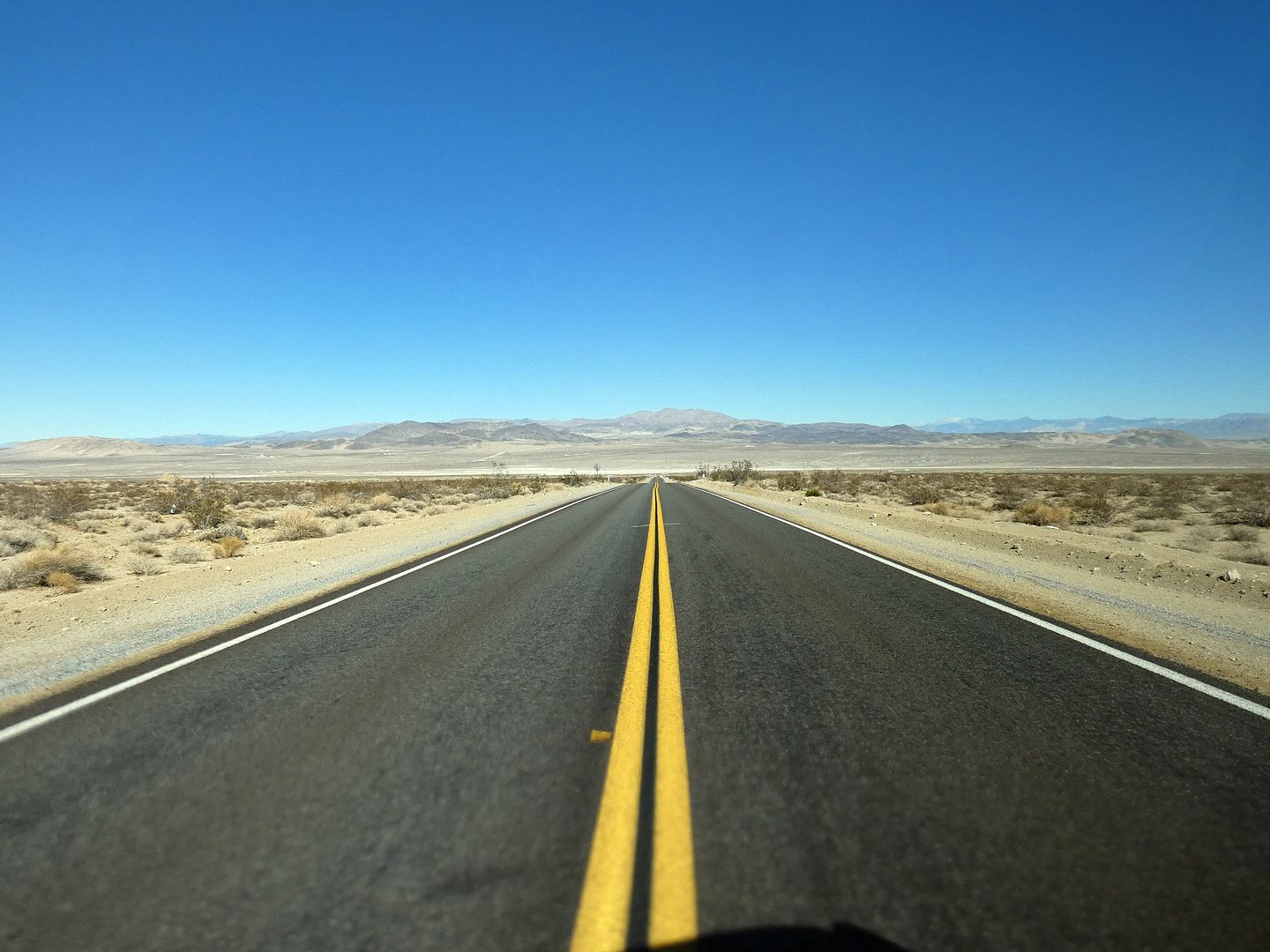
I knew they hosted other field trips—wildflower walks and such—so I was always hoping for an excuse to return to the area, which I usually just pass through on my way to the Eastern Sierra.
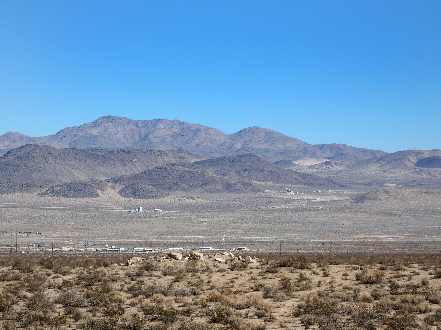
But the China Lake Naval Air Weapons Station hasn't reopened to the public since the COVID-19 pandemic—and it's still got $2 billion worth of repairs to make, after two earthquakes in 2019 shook it to its core.
That unfortunate situation opened up the opportunity for Maturango Museum to pivot to other field trips—including one that focused on the visible signs of those very same earthquakes that damaged the naval base so badly.
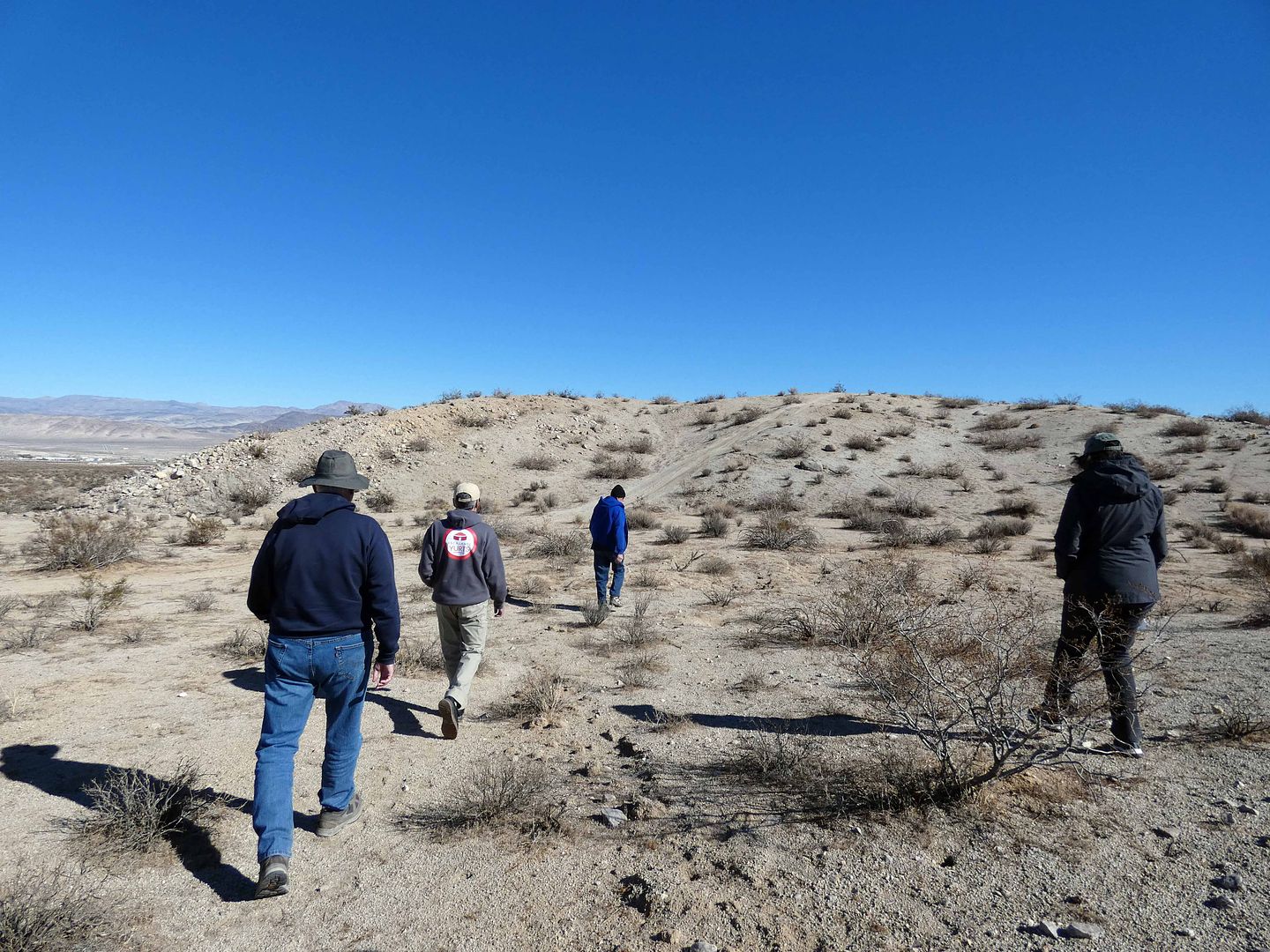
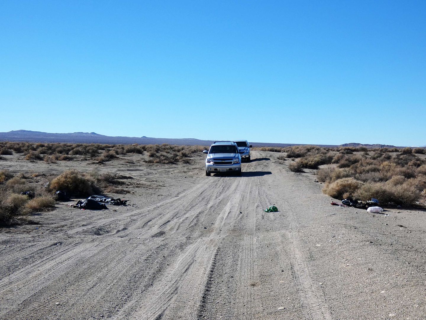
So, led by geologist (and former BLM desert ranger) Glenn Harris, we caravanned from the museum to multiple sites that were within striking distance from the epicenters of the 6.4 earthquake in Searles Valley on July 4, 2019 (the "foreshock") and the 7.1 in Trona on July 5, 2019 (the "mainshock").
(Although these quakes could be felt in Los Angeles, and even as far north as the Bay Area, at the time I was traveling in Northern California and Oregon for the Fourth of July weekend—in Lava Beds National Monument and Lassen Volcanic National Park on July 4 and Crater Lake and Klamath Falls on July 5.)
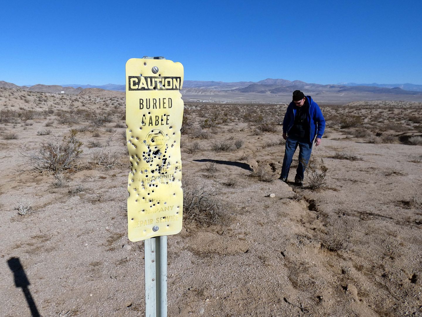
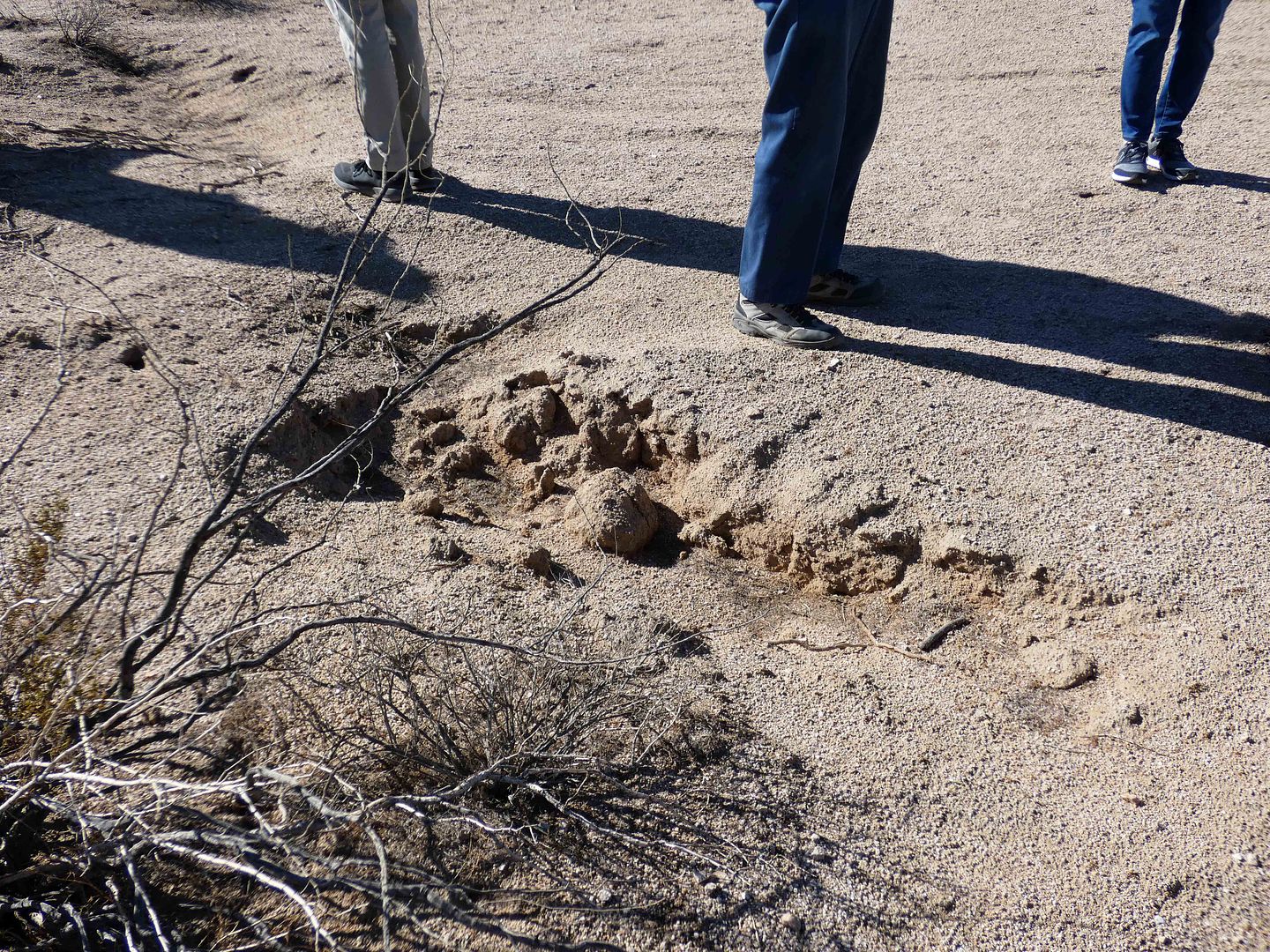
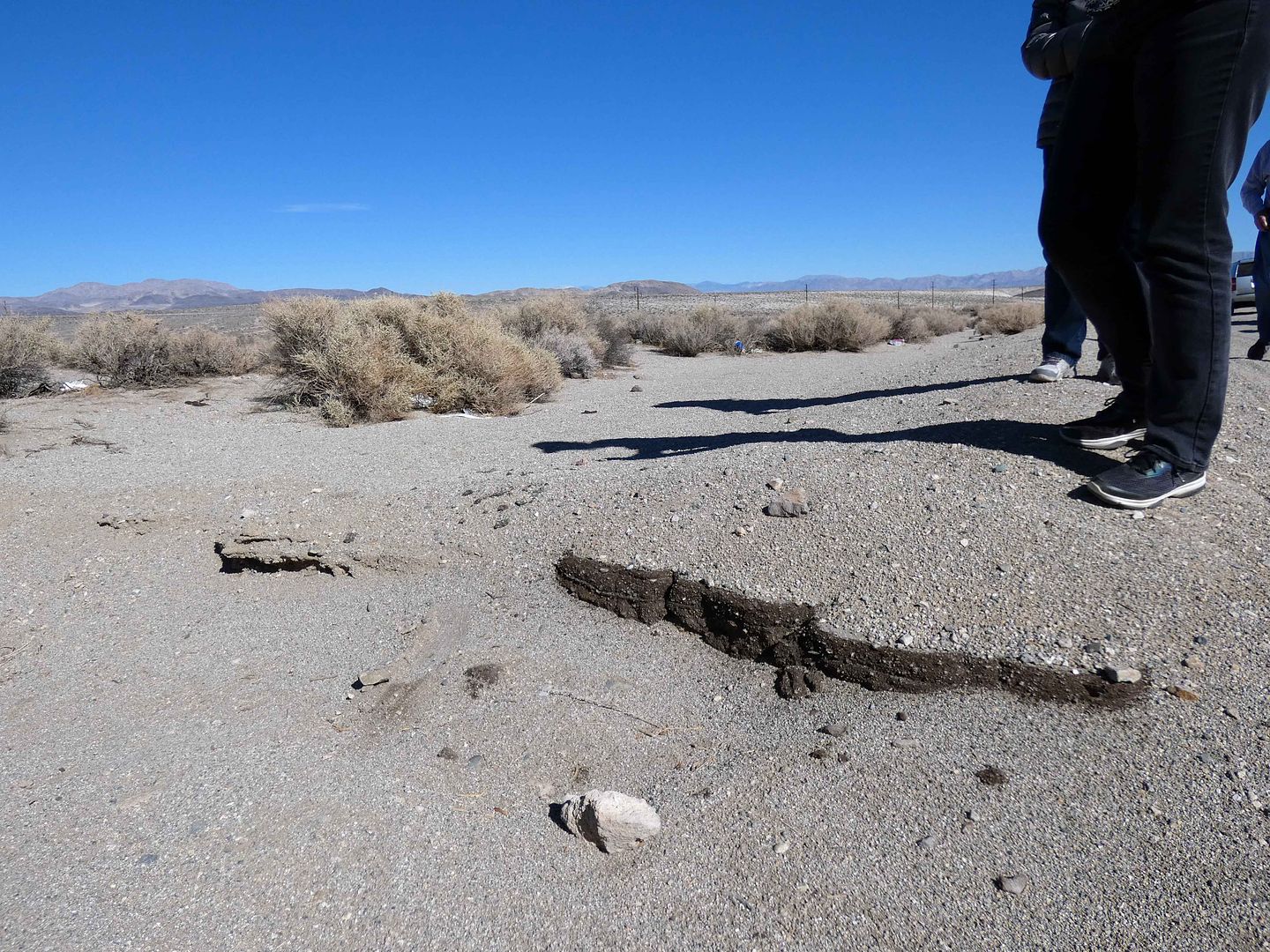
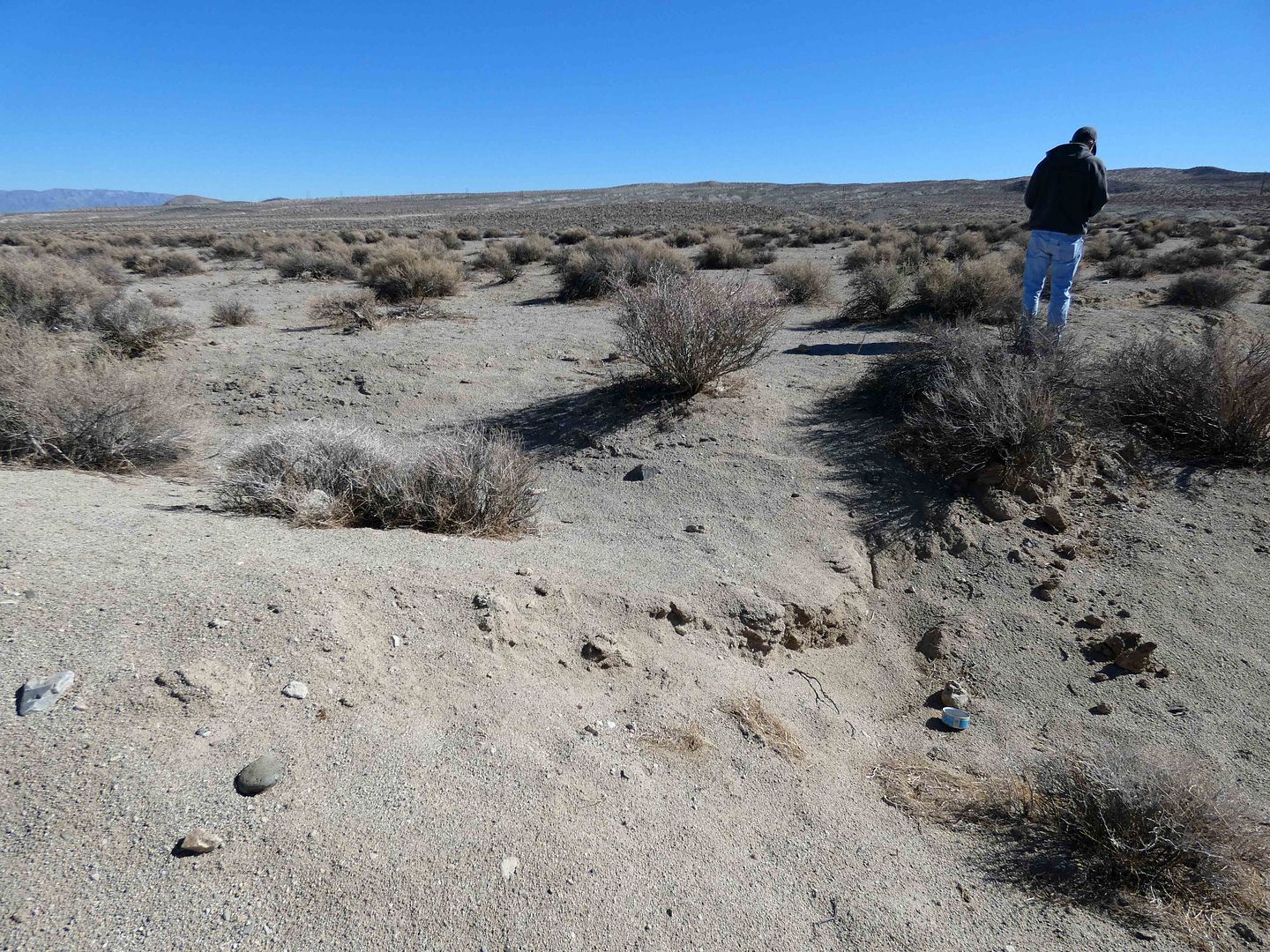
Next, in the east side of the 6.4 earthquake's fracture zone, we examined newly-formed gullies—the types of land features you might think were just part of the desert, maybe even formed by water.
But it was seismic activity that carved these crevices into the earth—the result of shifting plates (or "slippage"), creating right-lateral offsets.
In some areas, it appears as though the earth's mantle was simply churned up by seismic forces.
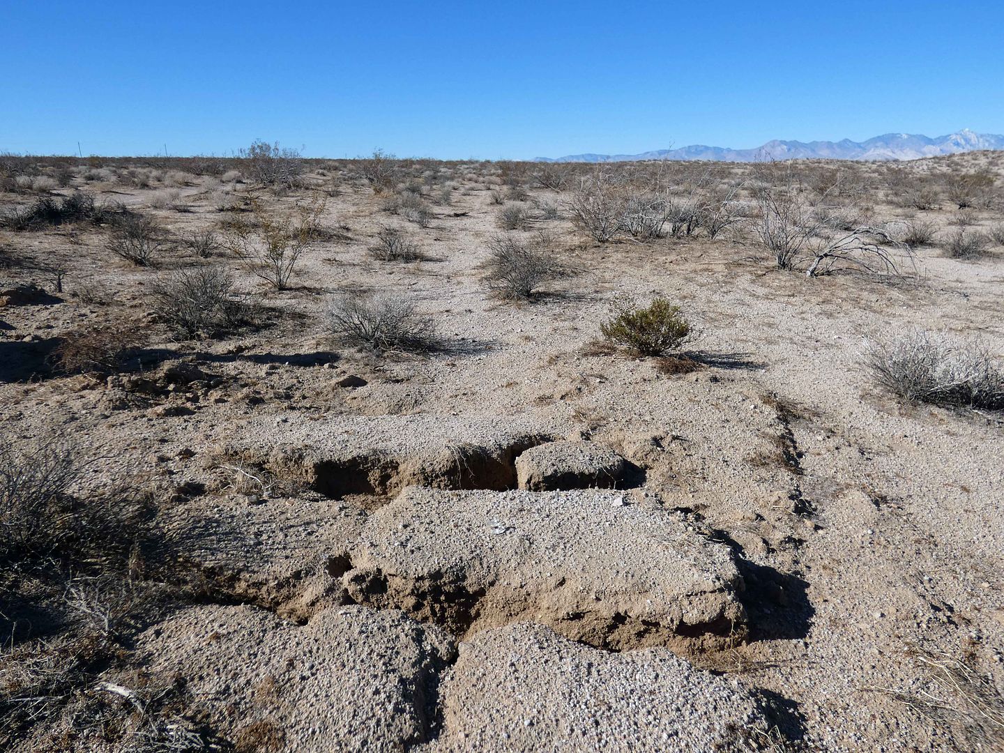
In other places, the cracks clearly show where the plates moved apart, creating a "spreading" phenomenon, with gaps that haven't yet been filled in by debris or collapse.
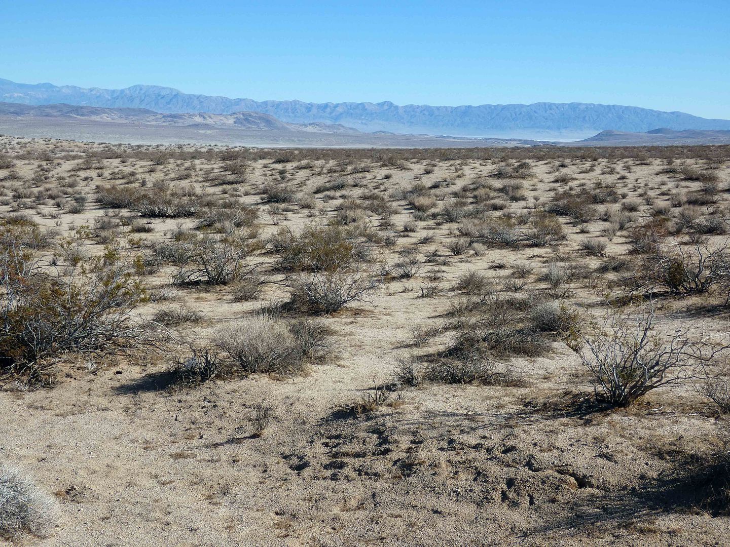
If you keep your eyes on the horizon, you can start to trace a kind of through-line where the earthquake activity must've run across the fault zone.
Funny enough, those two big earthquakes had nothing to do with the big baddie of them all—the San Andreas Fault. And they didn't even occur along the Garlock fault. Nobody thought these faults were active enough to even name them individually—although that may change, since we can see where the 6.4 epicenter was, right there on the China Lake base.
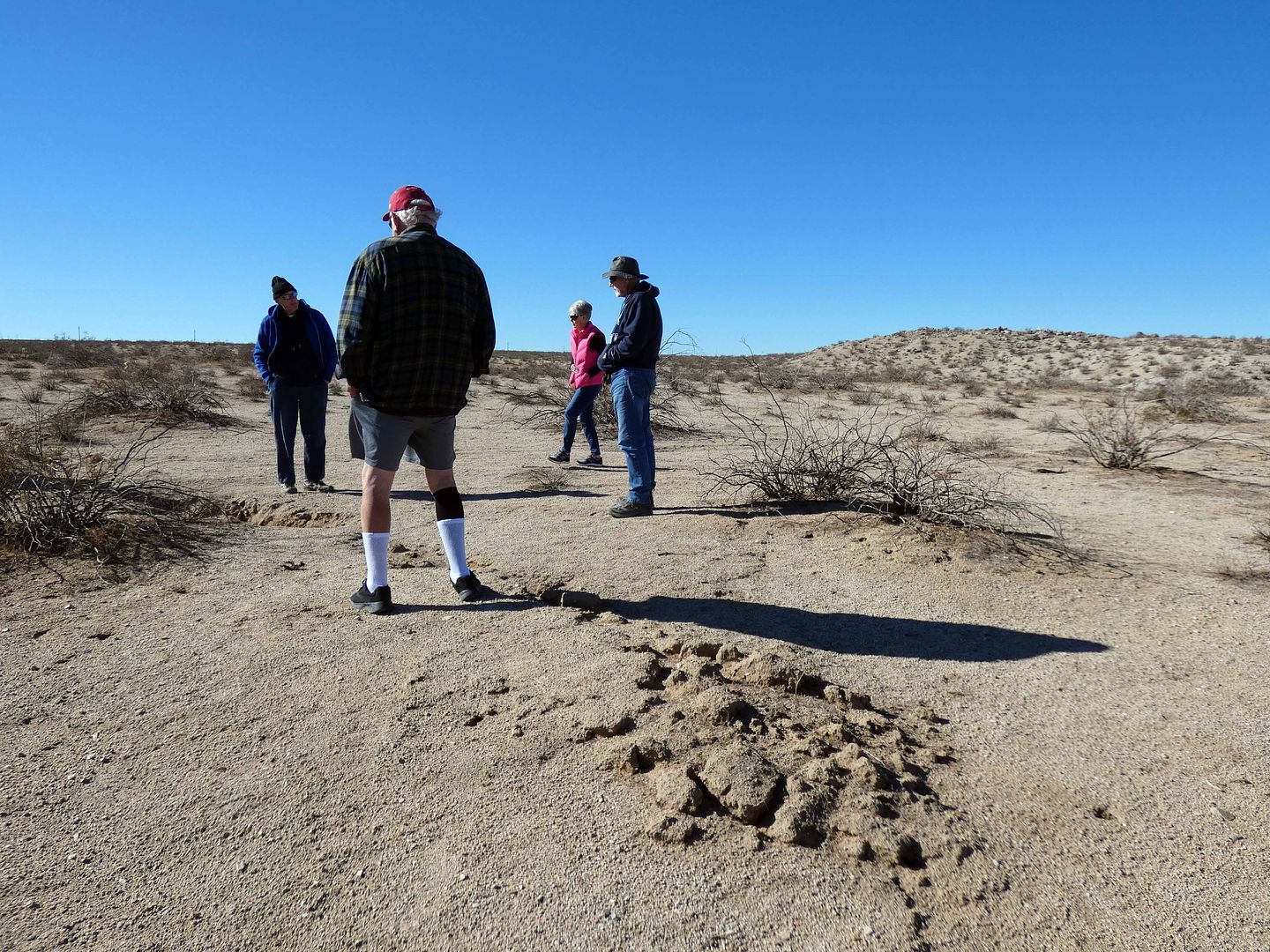
This was the kind of trip I wanted to do with a guide—someone like Glenn, who'd combed the desert for signs of the earthquake and mapped it all out ahead of time.
Besides, my car wouldn't have made it on the OHV trails, like RM4132, which his truck could handle just fine.
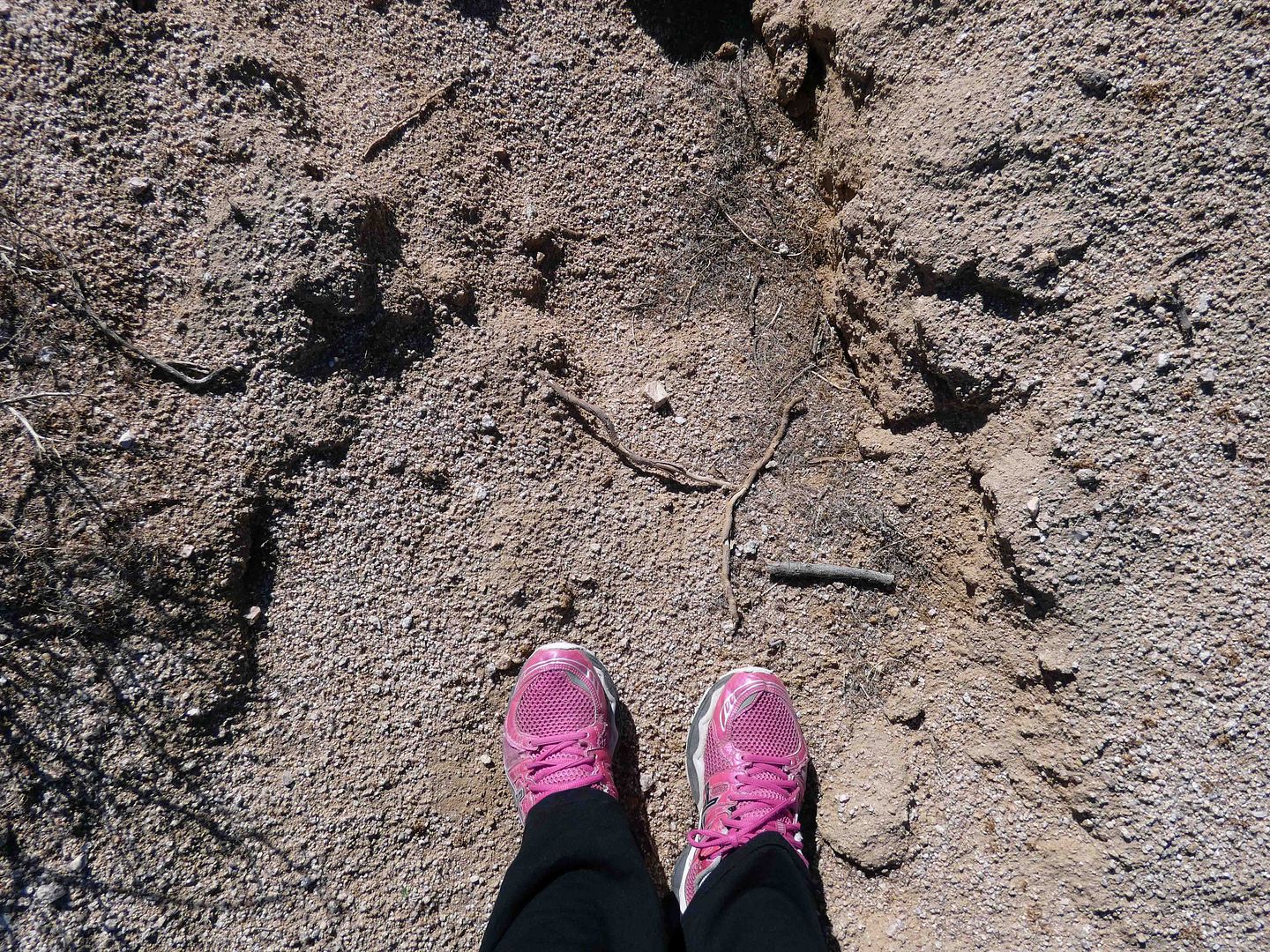
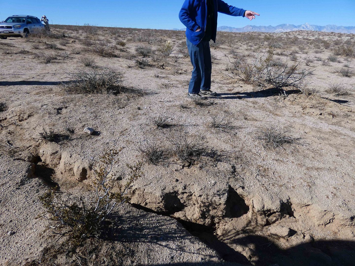
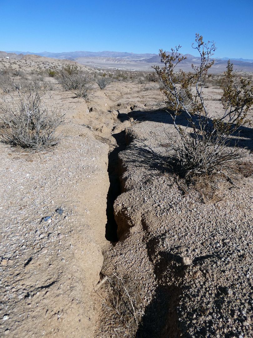
Standing with my feet literally on a crack, I found myself hoping for yet another earthquake in that moment, so I could feel the massive amount of energy released when those things occur.
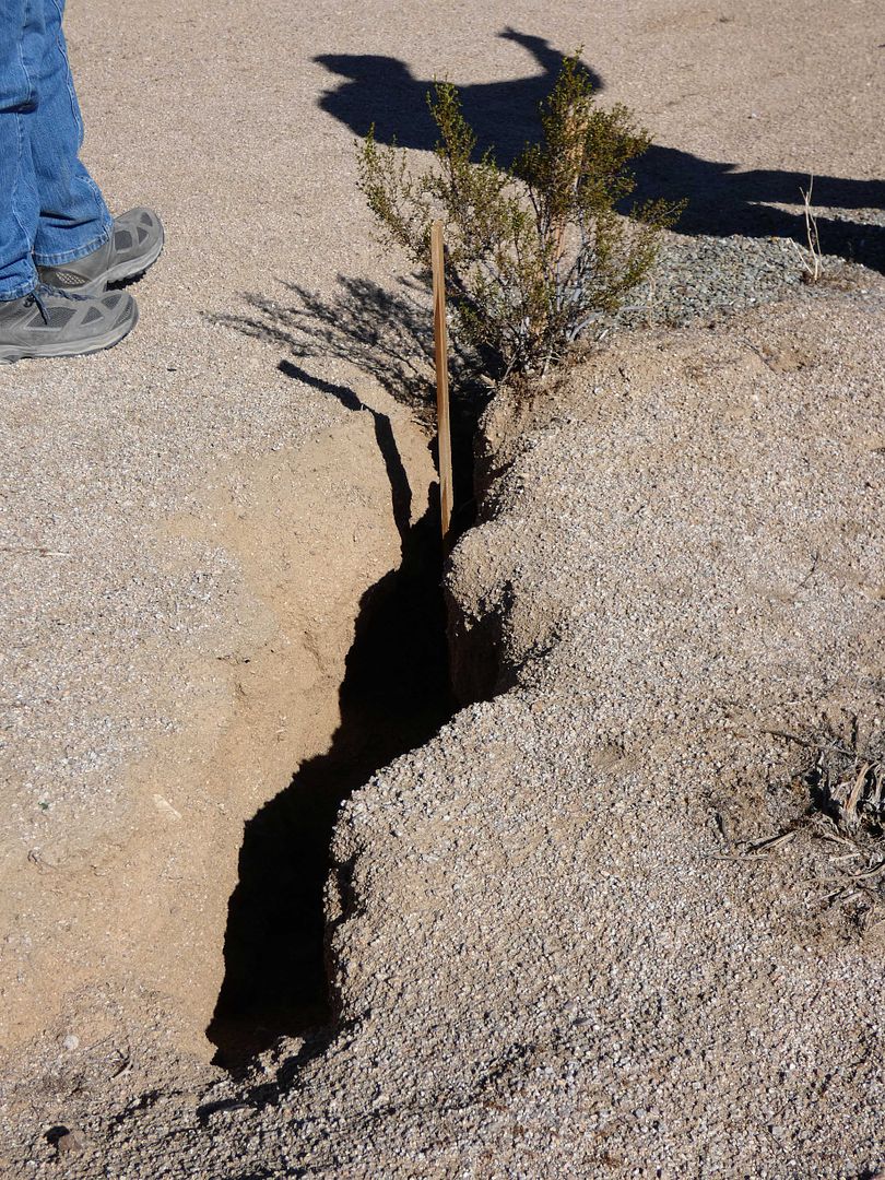
Those 2019 earthquakes had opened up the earth with some fissures as much as 4 feet deep.
I regretted not being able to see them when they were new.
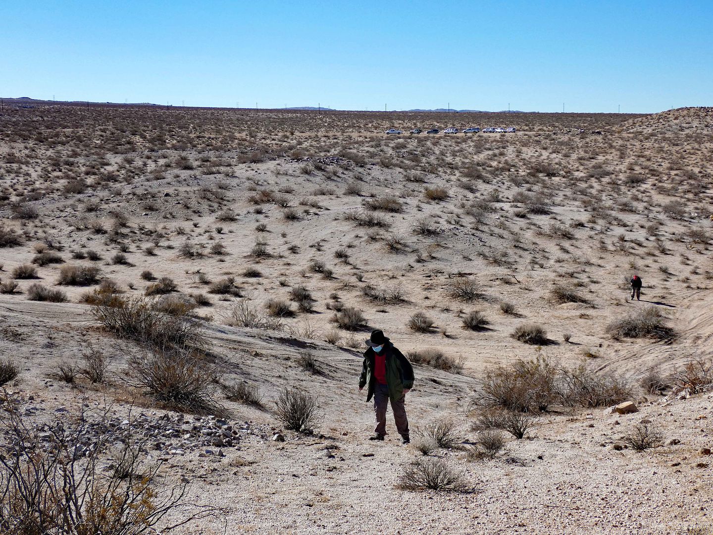
But better late than never—especially to be able to climb a hill that was essentially split in half.
Glenn, our guide, said, "One day, this'll be two hills."
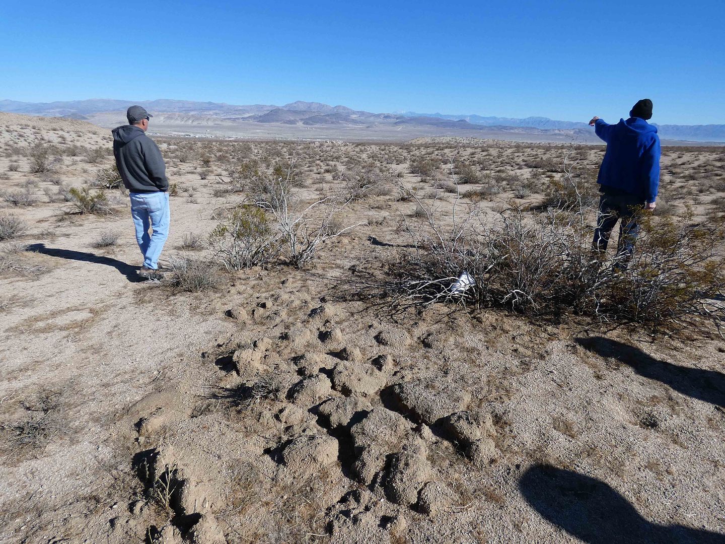
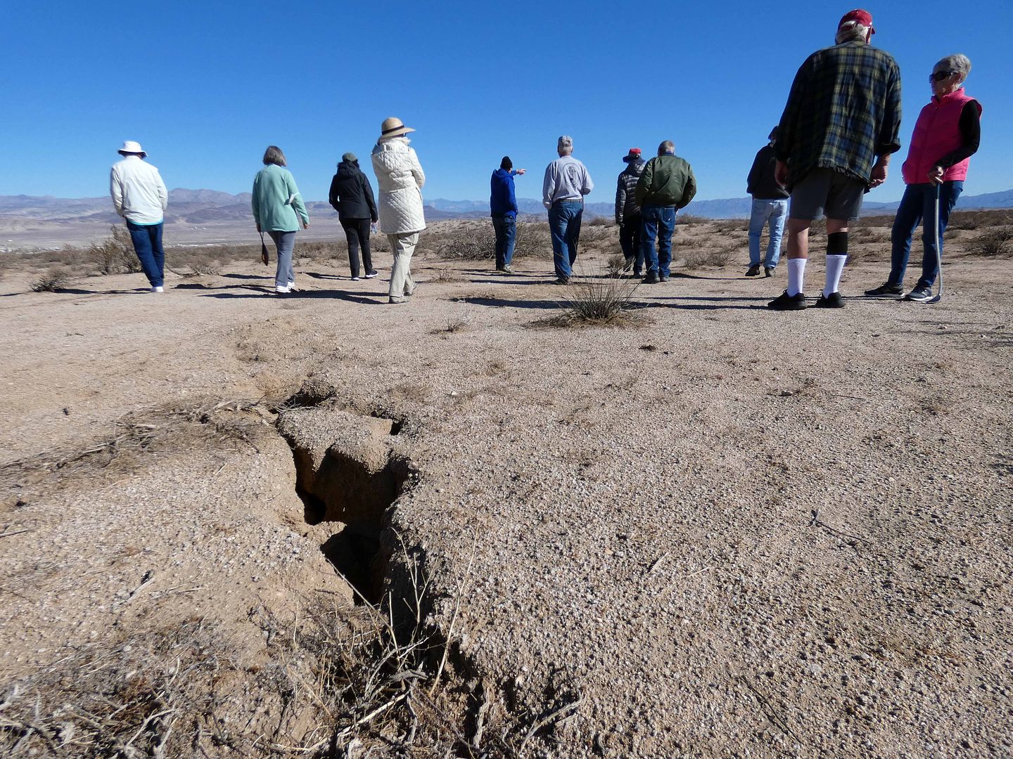
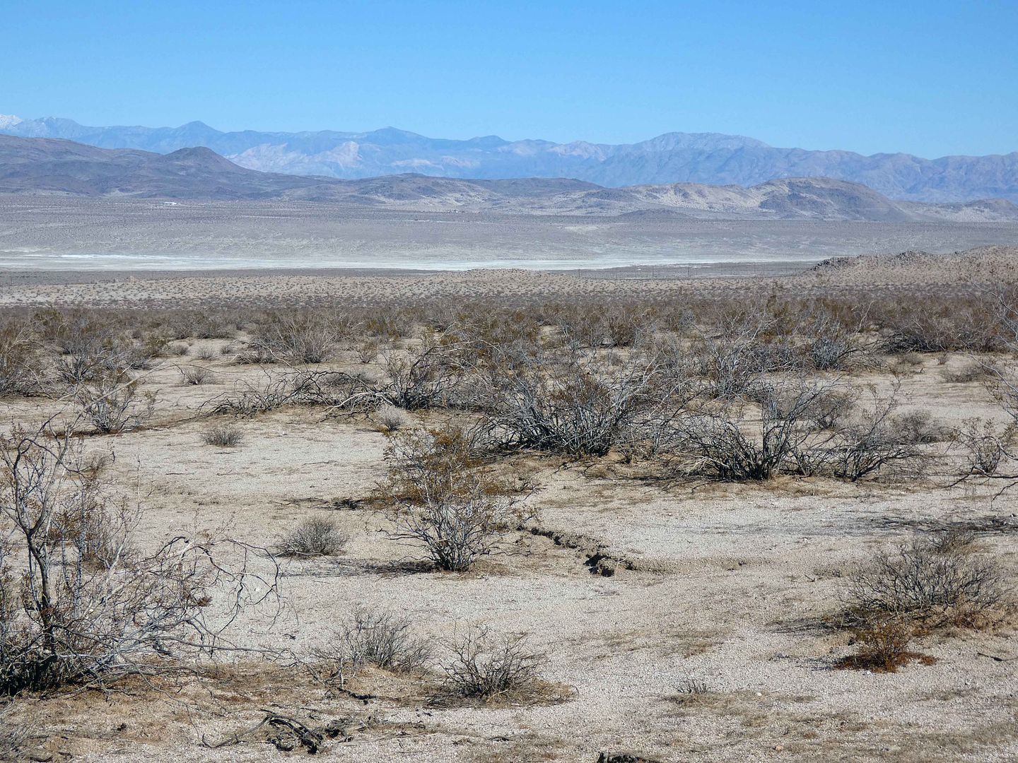
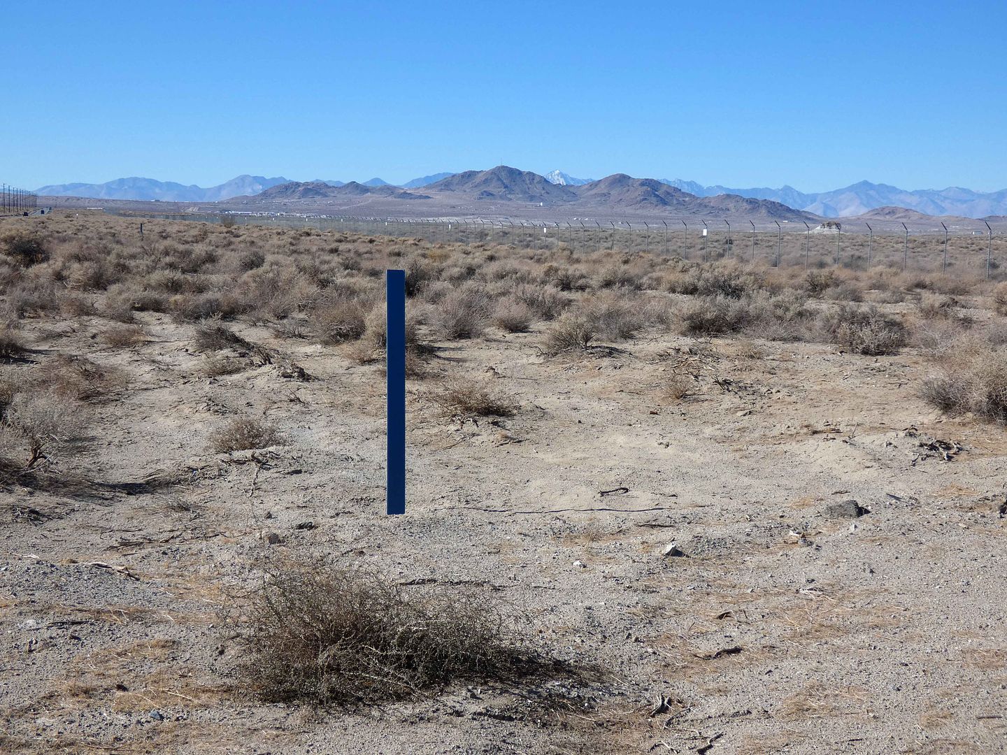
Looking out into the distance, we realized that nearly everything around us had been formed by some kind of earthquake activity in the past—most of them much smaller than a 7.1, of course, perhaps even imperceptible.
But if you're paying attention, the signs are everywhere. Like when you drive over a bump on a dirt road.
Next, we crossed over the paved Trona Road (Highway 178), which had been fractured dramatically in the wake of the temblors. The ground ruptured so much, it offset the painted lines in the road by several inches. Reportedly, CalTrans repaved it practically immediately—and now, you can't even tell where the damage was.
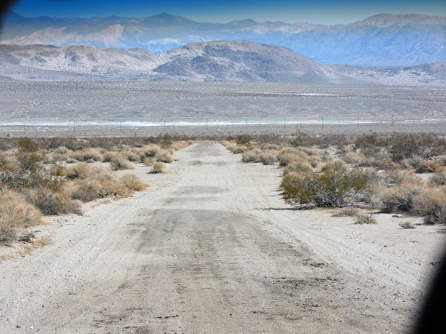
From there, we headed down Old Trona Road and OHV trail RM4137, close to the entrance to Trona Pinnacles (close enough that we had seen little clumps of white tufa along the side of the road).
The lines that earthquakes carve into the earth don't necessarily follow the same patterns as our infrastructure grids—often crossing roads rather than running alongside them.
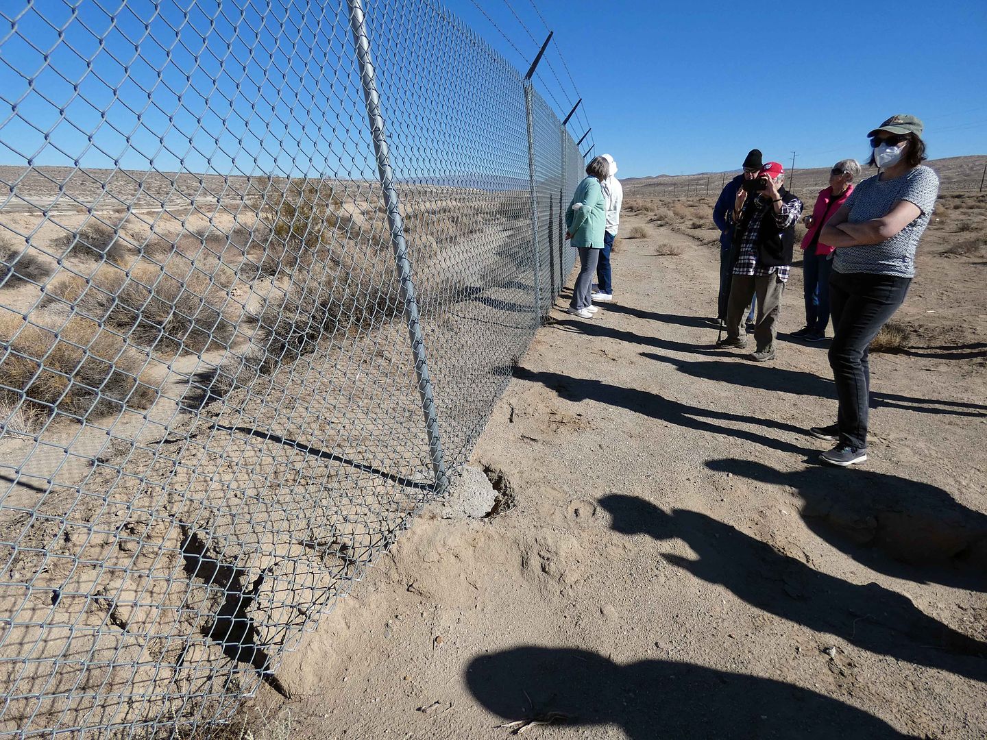
Earthquakes don't pay attention to the manmade boundaries of military bases, either—because the finale of our field trip took us right to the border fence of the China Lake NAWS.
There, we could tread upon the even more prominent scars of the 7.1 earthquake from 2019. Although 7.1 doesn't seem that much higher than 6.4, the Richter Scale is logarithmic—which means 1 point increase is actually 10 times the magnitude. In recent Southern California history, it's been rivaled only by the 1992 Landers earthquake (7.2) and the 1999 Hector Mine earthquake (7.2). (The 1994 Northridge earthquake was only a 6.7.)
The 7.1 quake shifted the earth so severely, a drainage channel no longer runs straight—and one side of it is now higher than the other.
A water pipeline broke, cutting off the water supply to Trona for six days. It took another eight days for the water to be safe to drink without having to boil it first.
The Navy base—which evacuated most of its personnel immediately following the shake-up—still hasn't fixed its damaged fence, which stands curved because of the surface fault rupture that occurred more than three years ago.
For an even better view of the earthquake damage in the area, check out this aerial video from July 7, 2019, above.
Related Posts:
Interesting!!!!
ReplyDeleteNice video Ed!
ReplyDelete