Search

Showing posts sorted by relevance for query Northridge. Sort by date Show all posts

February 16, 2018

On Wondering When 'The Big One' Will Hit


By Shustov (Own work) [CC BY-SA 3.0], via Wikimedia Commons

"Are you afraid of earthquakes?"

I was having lunch with a friend from New York City who I hadn't seen in probably 15 or more years. Now that he's moved to LA, too, we have lots to talk about.

And questions like these inevitably come up.

"I'm not afraid of 'The Big One' per se," I told him, "but I'm afraid of how people will react in the aftermath."

The stuff of my nightmares is the run on gas, the traffic jams, looting, and generalized mass hysteria. The actions of others feel so beyond my control.

I did, however, have one clarification to make: "I'm afraid of an earthquake happening and me not being home with my cat. I'm really afraid of my cat being home alone during a big earthquake."

Unfortunately, unless I become a shut-in, there's nothing I can do about that.

I approach our seismic precariousness with a fair amount of scientific interest and healthy skepticism. I've explored the San Andreas Fault in more than one section. I've seen firsthand how past earthquakes can ravage buildings, landscapes, and roadways.

I have, in some way or another, walked in the historical path of destruction of Long Beach, Sylmar, Landers, Whittier, and more.

So, the threat of a geological, geophysical, seismological event on a massive scale is pretty real to me. My lack of fear doesn't come out of ignorance.


Or does it?


We know very well that we're overdue for an earthquake whose magnitude is at the upper end of the Richter Scale.


The last one of that category to hit Southern California was on January 17, 1994 at 4:30 a.m.


Although the epicenter of that one was located in the San Fernando Valley community of Reseda (technically Los Angeles), it was dubbed the Northridge Earthquake.


It occurred along a previously unknown fault, also later dubbed the Northridge blind thrust fault.


Most of the twisted wreckage from nearly a quarter-century ago has been cleared—except in one place, where it's been turned into sculptural art as a memorial for the victims of the earthquake.


That's on the campus of California State University, Northridge (CSUN), where the Lauretta Wasserstein Earthquake Sculpture Garden pays tribute to the destruction and devastation that hit a little too close to home (about a mile from the epicenter).


All the buildings on the campus had been damaged by the Northridge earthquake.


Those that weren't brought down by the initial jolt and aftershocks erupted into a fiery (and sometimes toxic) blaze.


And yet artist Marjorie Berkson Sievers (a CSUN alum) and landscape architect Paul Lewis managed to see beauty in the rubble...


...converting disembodied columns, pillars, stairs, and walls (mostly from a collapsed parking structure) into a kind of artificial reef for nature to twist itself around...


...vines to crawl through...


...and plants to inhabit.


Of course, the damage brought on by the Northridge earthquake wasn't isolated to the West Valley—it stretched for 85 miles. But to really grasp what happened in the middle of the night in January 1994, you've got to go back to Northridge and look at some of that rubble.

That is, until something similar happens again.

Related Posts:
Photo Essay: Facing Our Faults
These Tremors of the Night
In Search of the Epicenter
One of Many Firsts: Earthquake

September 16, 2016

Photo Essay: Oakridge, An Old Hollywood Celebrity Ranch (Updated for 2021)

[Last updated 3/20/21 10:18 PM PT—new Jack Oakie memorabilia photos added at bottom of post]

In the northern part of the San Fernando Valley in an LA neighborhood called Northridge, there's an English country manor (with Tudor Revival elements) that the "Architect to the Hollywood Stars," Paul R. Williams, designed for film (and, later, TV) actress Barbara Stanwyck. 


October 18, 2020

Photo Essay: Voyage to the Top of An Enchanted Hill Overlooking the San Fernando Valley

The hills west of the Mission San Fernando Rey de España—the foothills of the Santa Susana Mountains—were called "La Encantada Cuestas" by early Spanish missionaries. 

At least, according to historical accounts, which apparently ignore how grammatically incorrect that is in Spanish. 
  
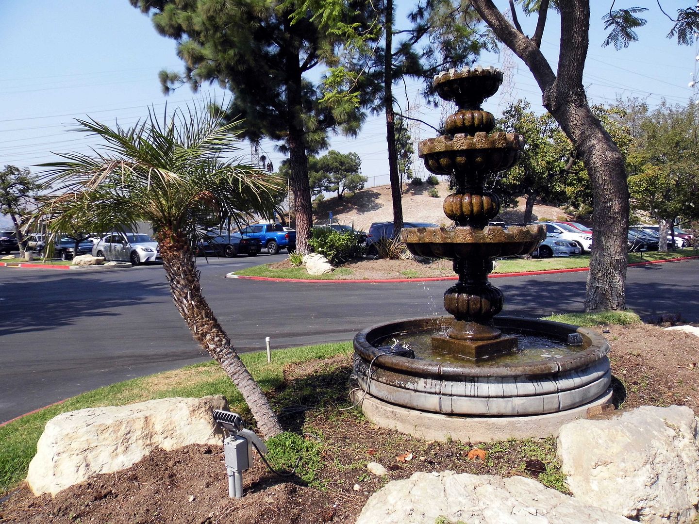
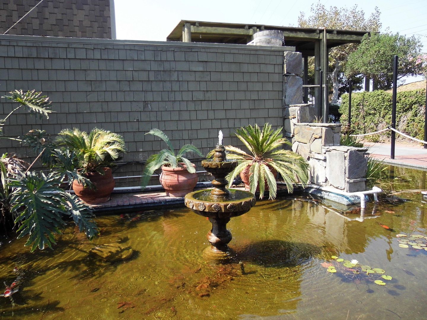
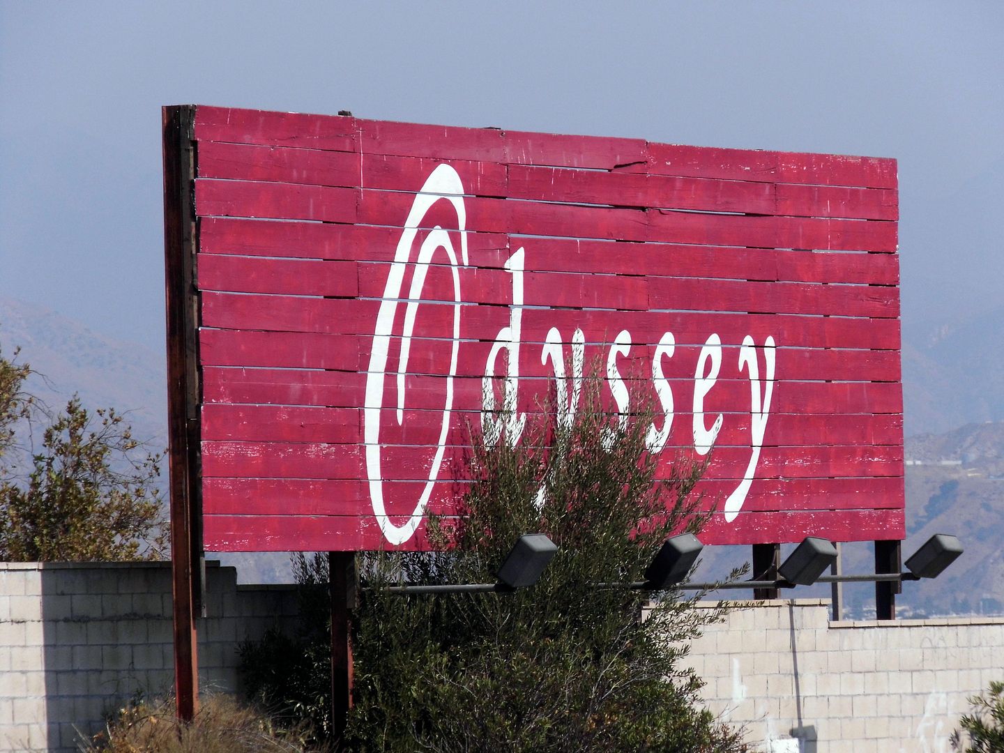
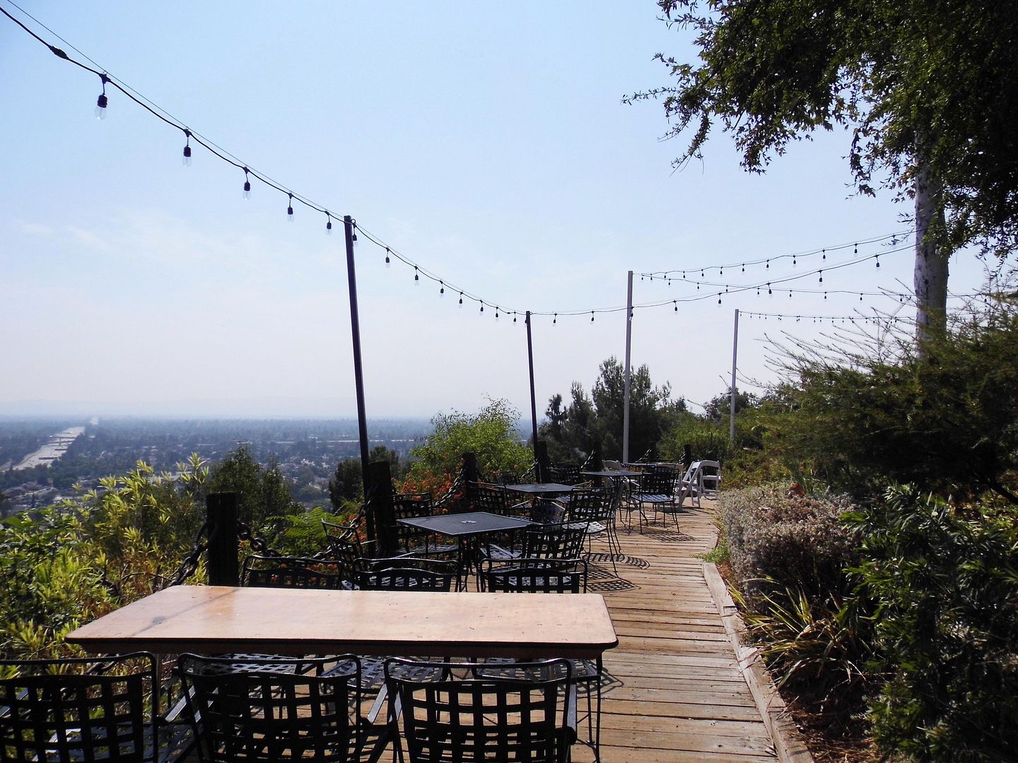
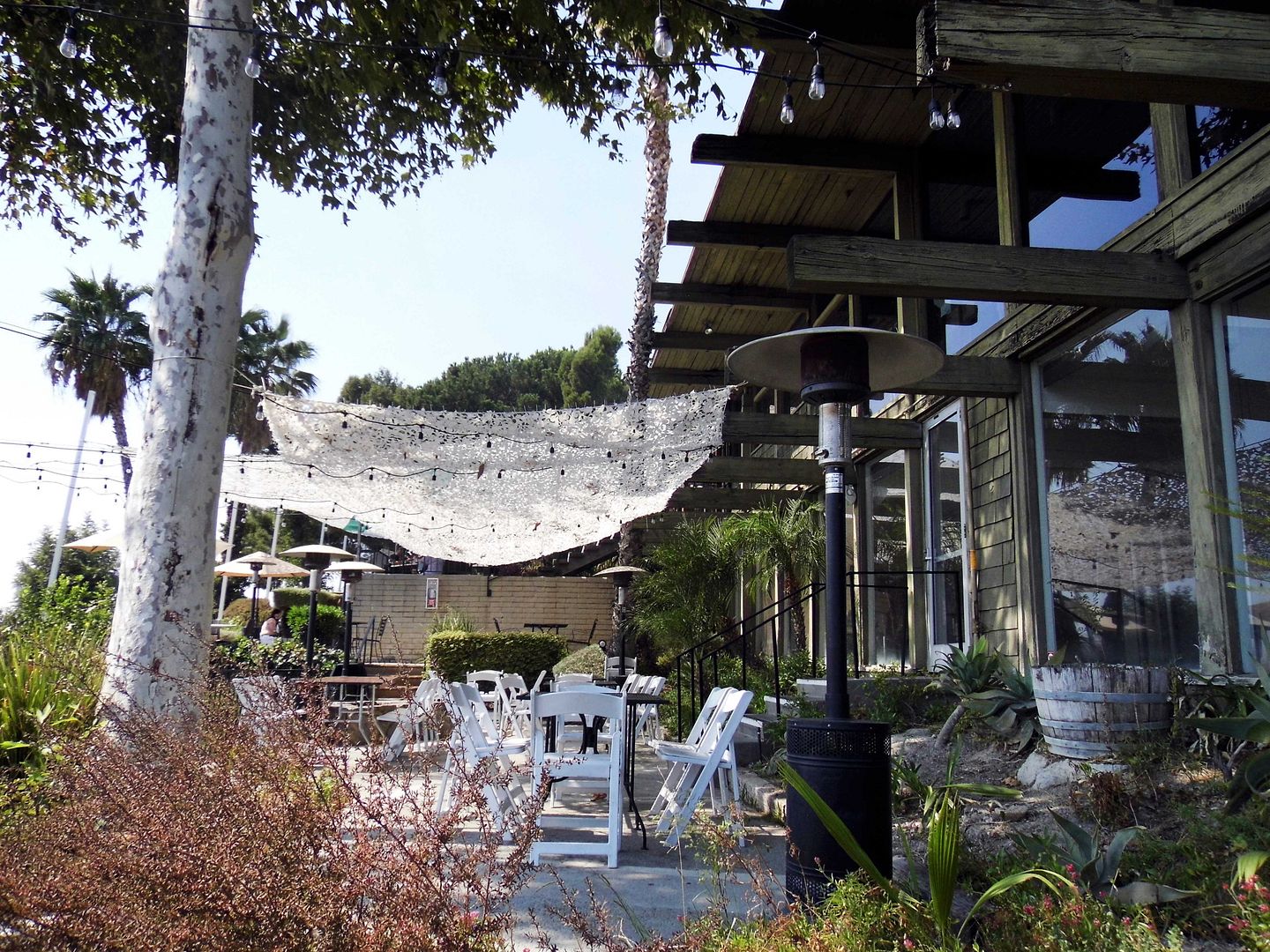
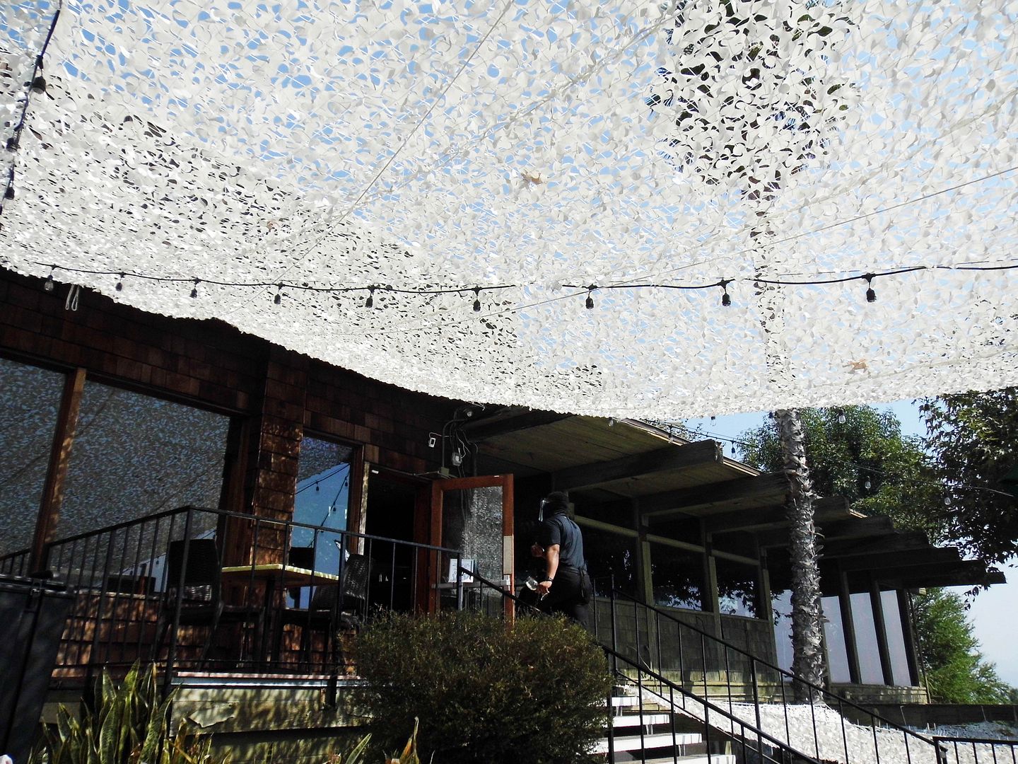
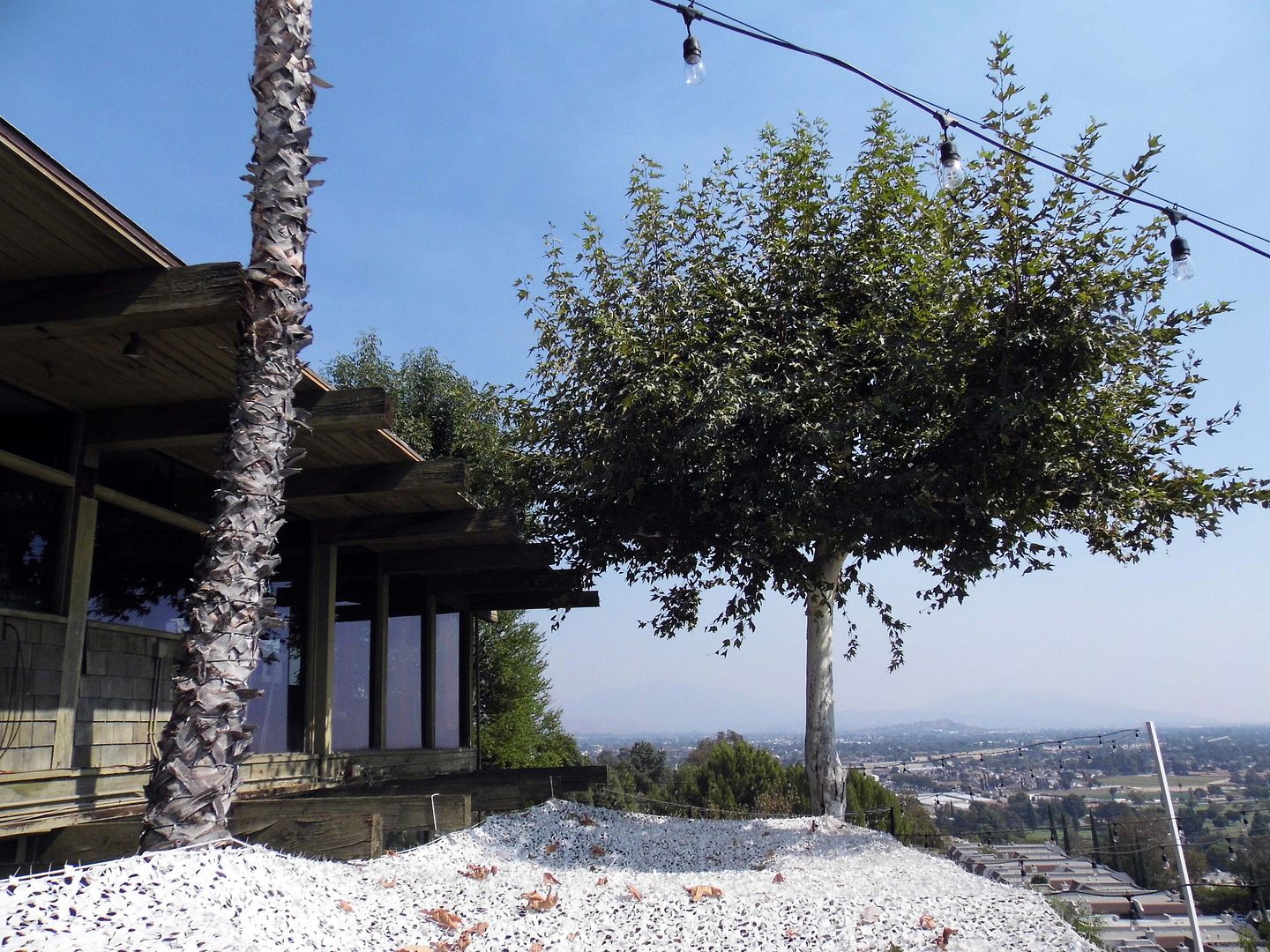
On one of those "enchanted hills," in a North Valley bedroom community now known as Granada Hills-Knollwood, the Odyssey Restaurant opened in 1970. 

And upon my first visit there earlier this month, I got curious as to the history of the area.

The San Fernando mission used to take up pretty much all of the San Fernando Valley. But by 1970, the it was just a fraction of the size it was when it was founded in 1797. 

The mission had been secularized and sold to private owners, like California governor Pío Pico—who, in order to help fund his Pico House in the Pueblo of Downtown Los Angeles, sold his shares of the 116,858-acre Mexican land grant (a.k.a. Rancho Ex-Mission San Fernando) to his friend, the Spanish-born LA resident Eulógio de Célis. 

In 1874, Célis's heirs sold former mission land to Senator Charles Maclay and cousins Benjamin and George Porter (of the Porter Land and Water Company and, later, Porter Ranch). 

As the Valley got further and further subdivided, other owners included San Fernando Mission Land Company (including the "Father of Glendale,"  Leslie Brand), the San Fernando Farm Homestead Association (which became the San Fernando Sheep Company, with denim magnate Levi Strauss as its director), and J.H. Mosier's The Sunshine Co., whose Sunshine Ranch largely became present-day Granada Hills. 
   

Granada Hills is currently part of the City of Los Angeles—but when it was founded in 1927 (as just "Granada," until 1942, for its similarity to Granada, Spain) it was envisioned as a "City of Destiny" in its own right (and a place to raise rabbits, which didn't actually pan out so well). 


It was later advertised as "The Beverly" of San Fernando Valley (assuming that refers to Beverly Hills)—or even the next BelAir. The chamber of commerce now touts it as "The Valley's Most Neighborly Town." 


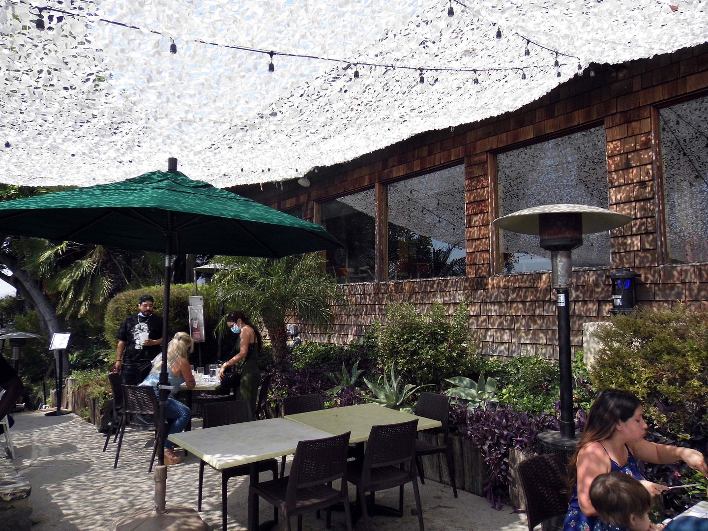
I found myself at the Odyssey Restaurant—Granada Hills' second-oldest dining establishment—for a celebratory brunch the weekend after my birthday.


I'd wanted to go for years and years...


...but have never had a special enough occasion to dine at a place that hosts so many weddings, proms, retirement parties, anniversary dinners, and such. 


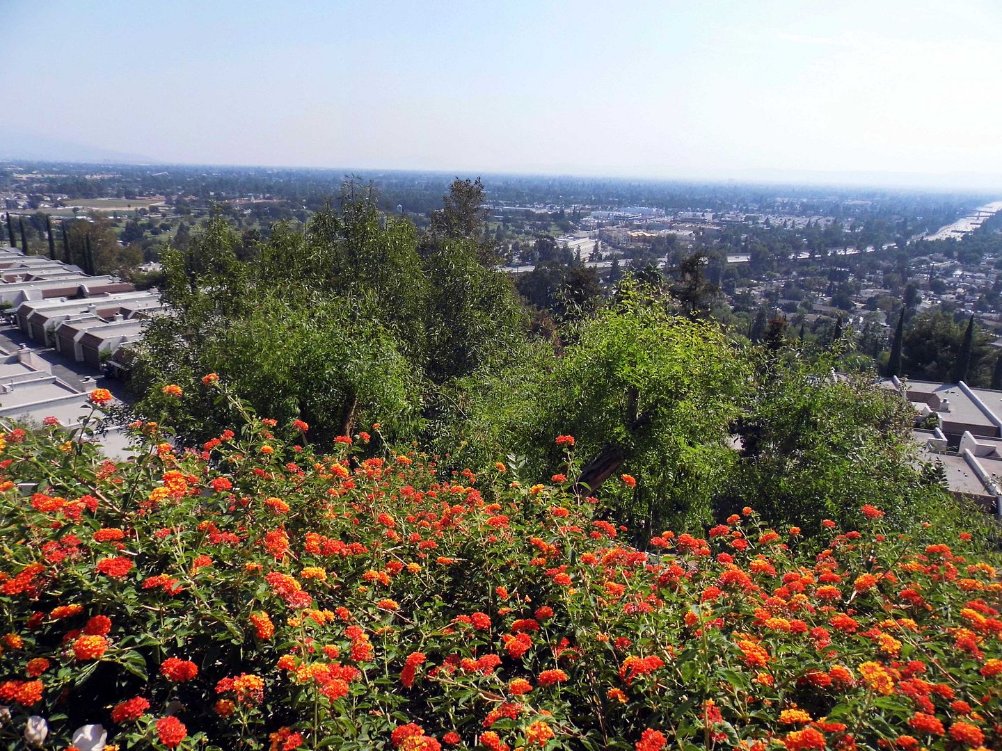
I never cared much about the restaurant itself—its food or beverage offerings—but I wanted to have the chance to take in that "enchanting" view. 
  

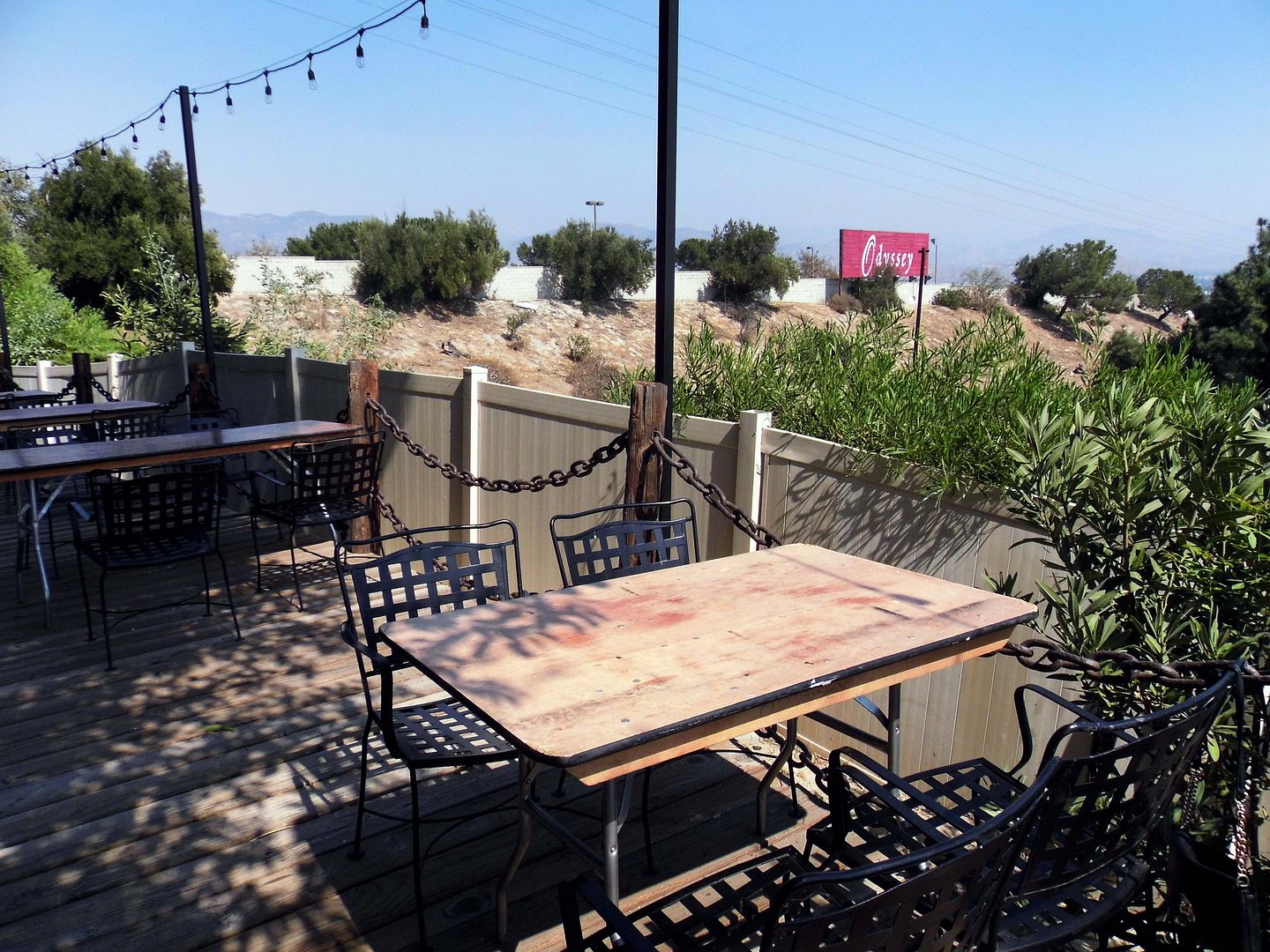
Seated outside, we dined high above the mission and its cemetery, of course... 


...but also the Van Norman Reservoir Complex (a.k.a. the Los Angeles Reservoir)...


...just 3 miles (as the crow flies) from The Cascades portion of the Los Angeles Aqueduct, which opened in 1913.

                    
In fact, the area's proximity to The Cascades was so significant, much of the eastern portion of Granada Hills was once occupied by a nursery operation known as The Cascade Ranch. 

Once owned by hardware magnate Charles C. ("C.C.") Reynolds, its traces have vanished from Granada Hills. But the saplings of Valencia oranges it sold can be found full-grown at what’s considered the last remaining orange grove of the San Fernando Valley—on the campus of Cal State Northridge (CSUN). 

Although some housing developments have begun to encroach on "Odyssey Hill," it's still relatively unscathed. 

The hill itself survived the 1961 completion of the 405 Freeway. The Odyssey Restaurant survived the 1971 Sylmar earthquake (which was really close) and the 1994 Northridge earthquake—both of which seem as though they could've sent the local landmark tumbling down the hill. 
And although its former Viking theme is long gone, and the wildfire-scorched sky doesn't always cooperate, The Odyssey still earns its title as "View Spot of the San Fernando Valley" and "A Vision of the Valley."

No one can dispute the fact that this hill is capable of offering a magnificent view of Southern California’s unique topography. Odyssey Drive is steep and rustic; when you reach the top you find yourself in a parking lot so big it could invite a nine-hole golf course over for the weekend. “Top of the world, Ma!” you think as you look down over the entire north San Fernando Valley. On a clear day, you can see Encino.
But I didn't visit on a clear day. And I've been told I've got to go at night to see the city lights.

So I'll keep this one on my list for now. 

I hope to learn more about Granada Hills before I return.

Related Posts:

March 16, 2020

Photo Essay: Kirk Douglas Theatre, the Former Screenland Cinema Saved By Spartacus

When actor and philanthropist Kirk Douglas died at the age of 103 in February 2020, he left behind a legacy that includes not only Spartacus and his actor son, Michael Douglas...


all photos circa 2016 except where noted

...but also the preservation and continued use of the former Culver Theatre in Downtown Culver City, California. 


It was rechristened the Kirk Douglas Theatre after his and his (second) wife Anne's $2.5 million donation—coupled with a grant from the Culver City Redevelopment Agency—gave the former cinema new life as a legit playhouse.


Culver City's own Steven Ehrlich was the architect for the 2002 renovation into the Kirk Douglas Theatre, which opened in 2004 at a total cost of $11 million.


But it was originally built in 1947 for the Fox West Coast movie theatre chain, headed by Charles Skouras—known for the "Skouras Style" that took over the decor of many cinemas at the time.


Back then, Fox produced many of the decorative elements found in its Skouras-influenced theatres at its own assembly plant—not the least of which being a free-standing box office that evokes something of a neo-baroque jukebox.


The floral motif in the (rehabbed) terrazzo sidewalk at the entrance is one of the remaining signature decorative elements associated with Charles and his brother George.


The inside, however, is another story.


Based on how it looks now, it's hard to know how post-war audiences experienced the moviegoing experience when it was the Culver Theatre. 


You can't see much—if any—of the work originally done by architect Albert R. Walker (of Walker and Eisen) and designer Carl G. Moeller.


But it probably lost the character way before this latest rehabilitation—likely in the 1970s, when it was spit into three screens (a.k.a. triplexed). It officially closed in 1989; a few years later, its damaged auditorium was gutted for asbestos removal in the wake of the 1994 Northridge earthquake.


Though the original seating capacity was over 1,000, the house now holds 317 seats, arranged stadium-style.


circa 2008 (Photo: Luis Penados via Flickr, CC BY 2.0)

But hey, it's outlasted the Culver City Theatre (1915, demolished 1923) and the Meralta Theatre (1924, demolished 1983). And that's really something for the city nicknamed "The Heart of Screenland."

Plus, the Center Theatre Group offers some pretty cool and cutting-edge programming at the Kirk Douglas. 

Though Douglas himself was heralded for his iconic movie roles, he said that his first love was the stage—and he wanted the opportunity to help support new and upcoming playwrights. 

So, its adaptive reuse seems fitting, especially since Douglas got to grace the stage of his namesake theatre in 2009 for the autobiographical one-man show, Before I Forget. 
For more history on the Culver Theatre, visit the page dedicated to it at the Los Angeles Theatres website. 

Related Posts:
A Birthday Visit to the Heart of Screenland
Standing in the Shadows of Towers In Hollywood (Or, What Will Happen to the Fonda Theatre?)

August 15, 2013

Taking the Stairs to a Tower, a Terrace, a Dell and a Bowl in Hollywood (Updated for 2023)

[Last updated 3/19/23 3:23 PM PT—The neighborhood covered in the following blog post was officially recognized by the City of Los Angeles as "Hollywood Heights" this week.]

I've done a fair amount of walking around Hollywood, having figured out that parking on or south of Hollywood Boulevard and walking a mile to the Hollywood Bowl is better than taking the God forsaken death chamber of a shuttle bus, and having most memorably walked up to Yamashiro in the Hollywood Hills with Edith until a limo driver took pity on us on the way up and offered us a ride.

So now, once I find a parking spot, I'm reticent to give it up to drive around. After all, where is there to drive in Hollywood? Where is there even to park? There's a reason why Hollywood Boulevard is teeming with people: it's a pedestrian community, akin to Times Square or other public town squares where people amble and wander and look at the pretty lights. Only most visitors walk up and down Hollywood Boulevard in a straight line, rather than meandering through its fascinating side streets, parks, and public stairways.


I found myself finishing a meeting in Hollywood and in close proximity to a good parking spot, with some time to kill, so I decided to change into my hiking clothes, slip on some sneakers and strap on my hydration pack, and set off walking.

March 20, 2020

Photo Essay: The St. Francis Dam Flood Plain, Upon the Anniversary of the Disaster

On the night of March 13, 1928, there were 145 men—maybe as many as 185—sleeping at a work camp called Kemp, set up by the Southern California Edison Company on the slope of the dry bed of the Santa Clara River near an area known as the  "Blue Cut" Promontory. (Not to be confused with the Blue Cut of the Cajon Pass.)

During the day, they were setting up new power lines; at night, they slept in tents.

But that one night, the enormous flood was coming from the St. Francis Dam break, raging on its way toward the Pacific Ocean. And by the time anybody knew enough about the danger to warn them, it was too late.

Most of them died, and nearly all of them were stripped of their clothing from the force of the debris flow.

The few survivors there were came to Rancho Camulos for help (and dry clothing).


Ranch owner August Rubel—a New York-born son of Swiss immigrants—and his wife Mary were awakened by a ranch foreman, who alerted them to a lot of water running through the normally dry river. The truth is that along its path, the water flooded over the river banks and—although no one lost their life at the ranch itself—created extensive damage to their agricultural operations (which included citrus orchards and cattle ranching).


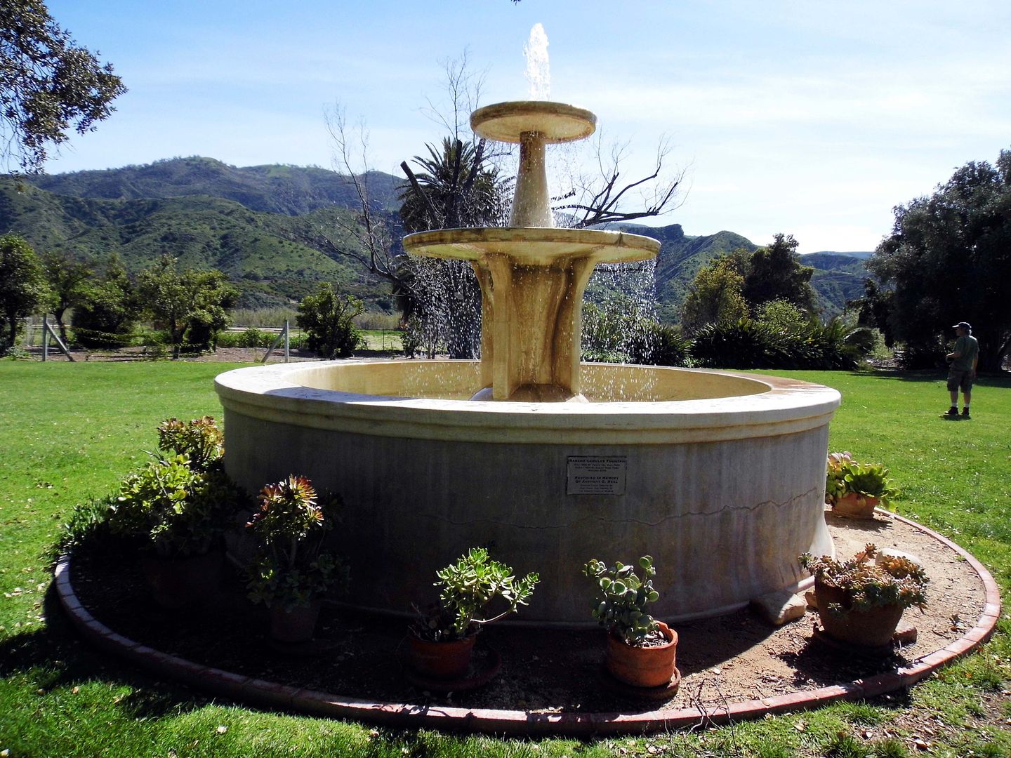
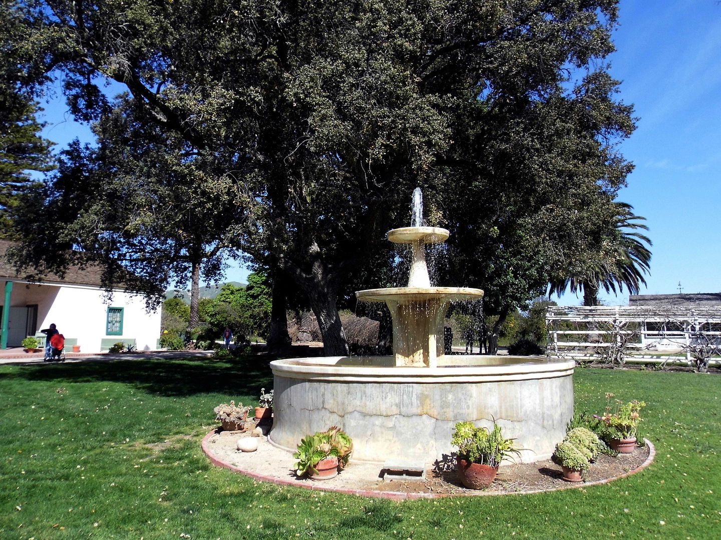
The flood waters washed up past the old fountain that had been built in 1852 by Ygnacio Del Valle, the son of the original recipient of this westernmost part of the 48,000-acre Rancho San Francisco Mexican land grant in 1839—Antonio Del Valle. Both members of an important Californio family during the Mexican period and early California statehood, Ygnacio had inherited it from his father in 1841.


In fact, the water came nearly right up to the ranch house, sparing the dwellings by just inches. And while the fountain took a pretty big hit, the Rubels—who'd purchased the property in 1924—rebuilt it in 1934. (It was later restored in 2009.)


By then, Rancho Camulos had already been a historic property for decades—especially since novelist Helen Hunt Jackson, who visited the last of the "real" Spanish ranchos in 1882, based part of her wildly successful book Ramona there. D.W. Griffith also shot part of his 1910 movie version starring Mary Pickford at the ranch.


In the wake of the St. Francis Dam disaster, there was a lot of misinformation and no easy way of correcting it. The living were scrambling to identify the dead and locate the missing. And in that chaos, the false rumor spread that Rancho Camulos had been destroyed by the flood waters.


In fact, that wasn't true at all—but fans of Ramona far and wide were up in arms and besides themselves. Rubel had to make an announcement assuring the public that "The Home of Ramona" still stood.


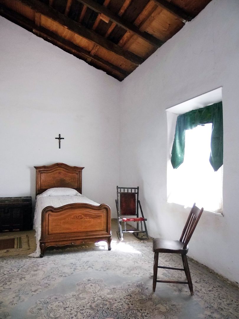
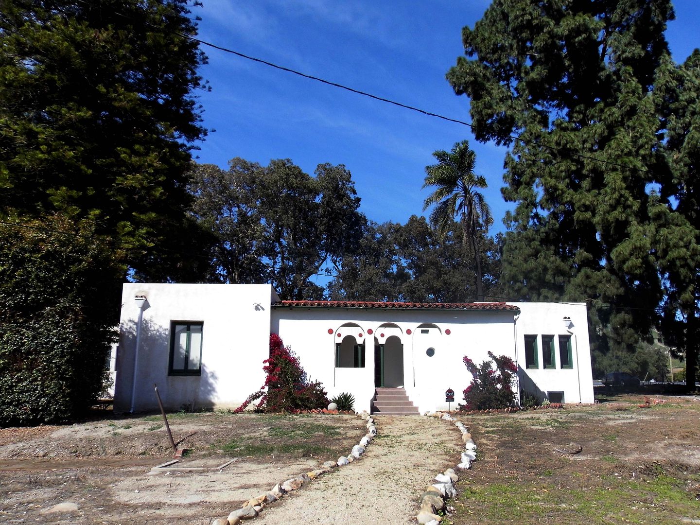
And, in fact, it still stands today—after a massive preservation effort to save it in the aftermath of the 1994 Northridge earthquake.


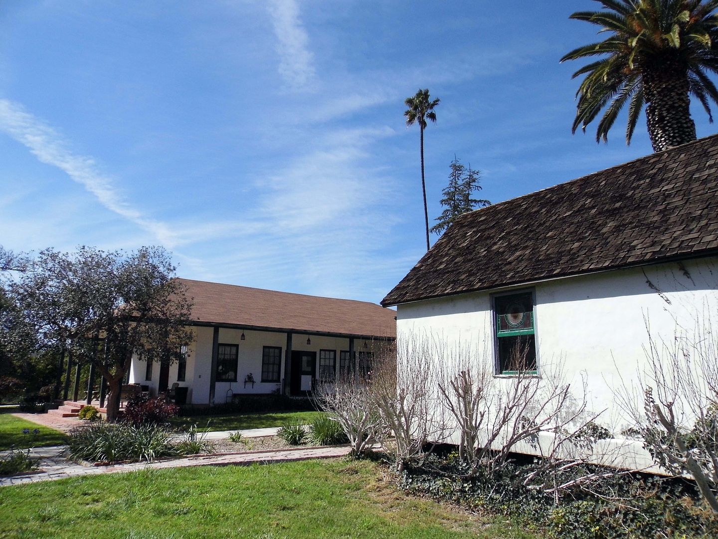
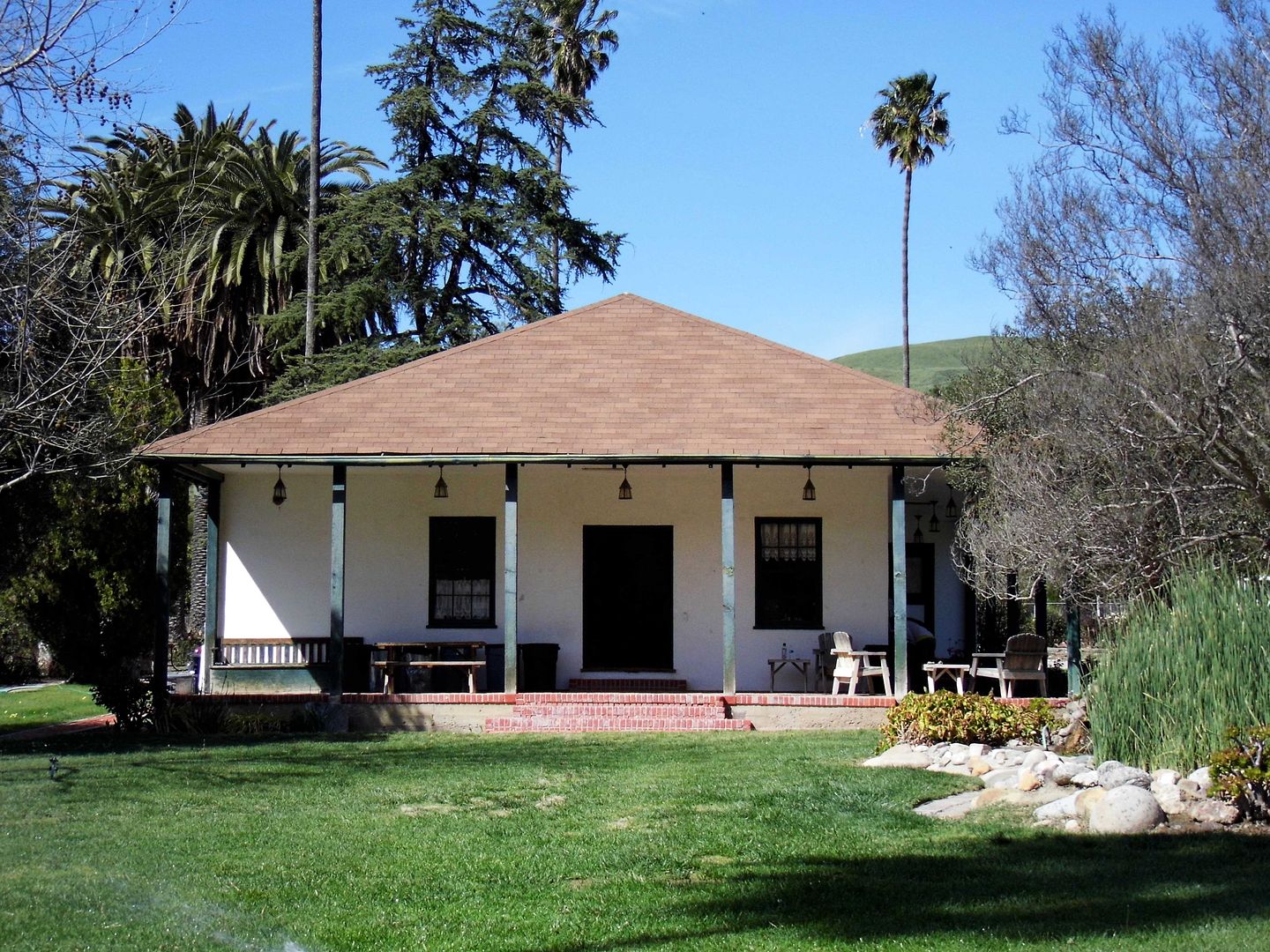
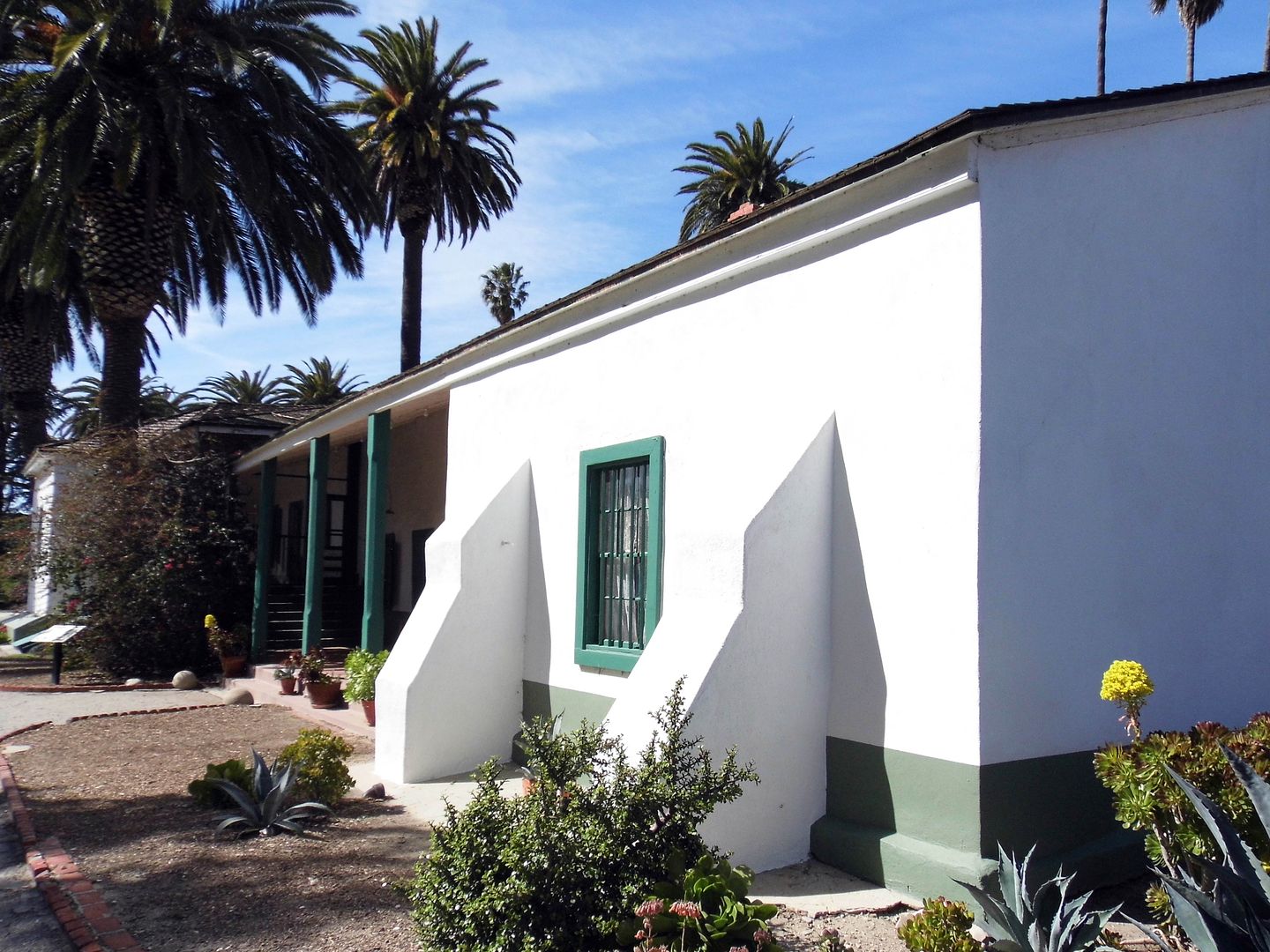
In 1853, Ygnacio Del Valle had built a small 4-room adobe for his majordomo and, 8 years later, expanded it to accommodate his wife Ysabel and kids moving from their townhouse at the Los Angeles Pueblo.


By 1880, what began as an adobe with 2-foot-thick walls—constructed by Mexican laborers and members of the Fernandeño Tataviam Band of Mission Indians—grew to a 20-room, hacienda-style estate that sprawled across more than 10,000 square feet. And that example of Spanish-Mexican vernacular architecture is what, in part, inspired the tale of Ramona, first published in 1884.


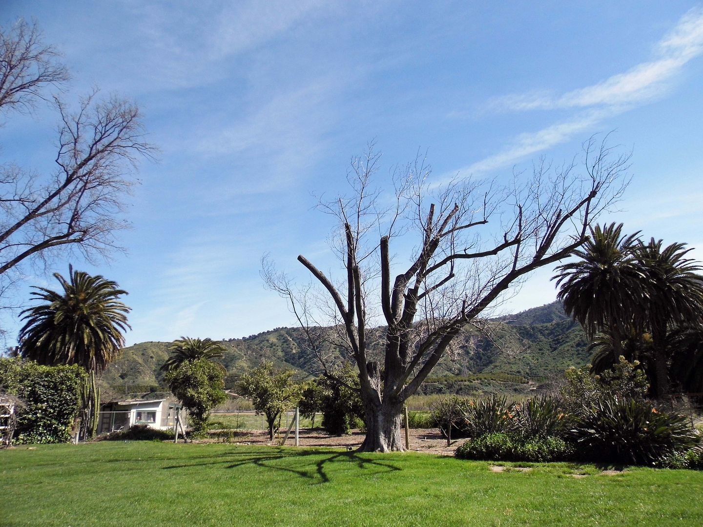
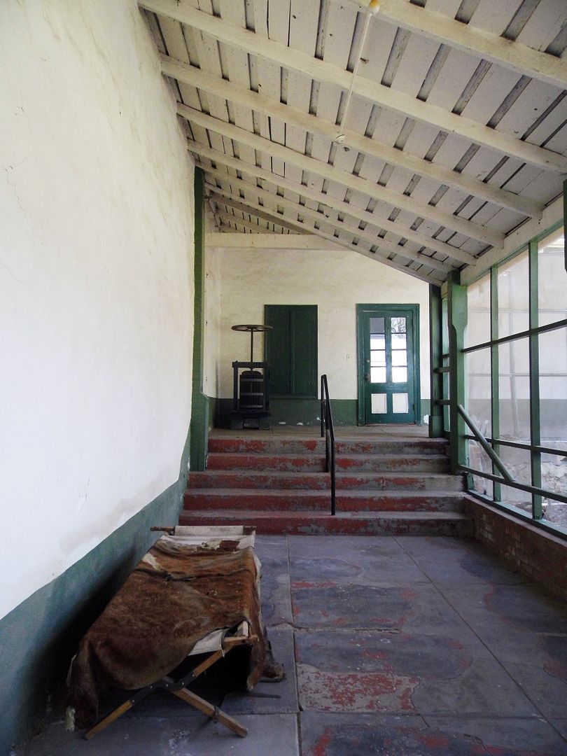
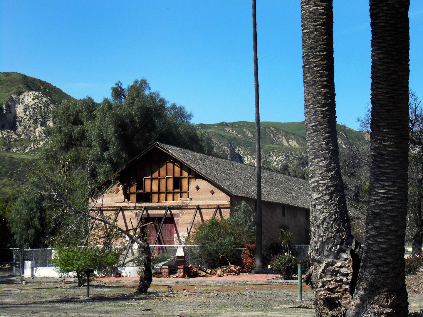
Today's "Ramona seekers" can admire the old, crumbling brick winery (circa 1867) from afar...


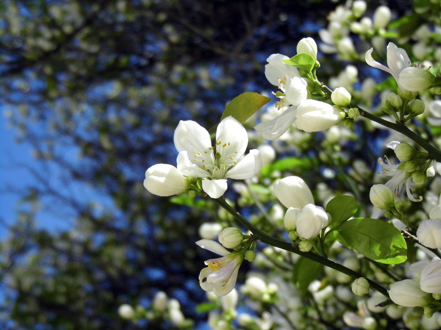
...and inhale the sweet and floral perfume of the orange blossoms, which are in full bloom this time of year.


About three miles away from the Santa Clara River (still dry) and across what's now Highway 126 is the town of Piru, whose cemetery contains the tragic remains of many of the victims from this part of the flood plain.


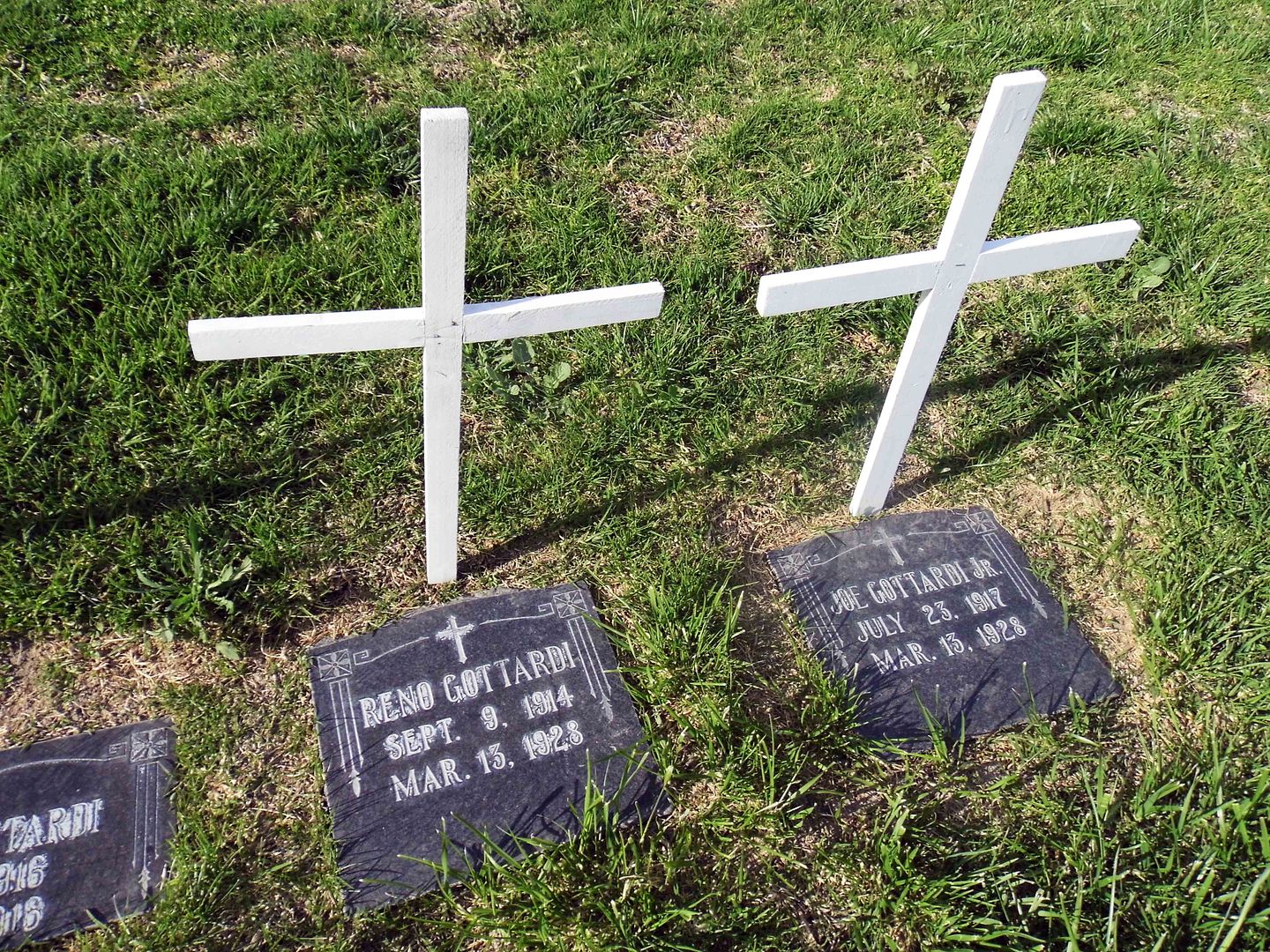
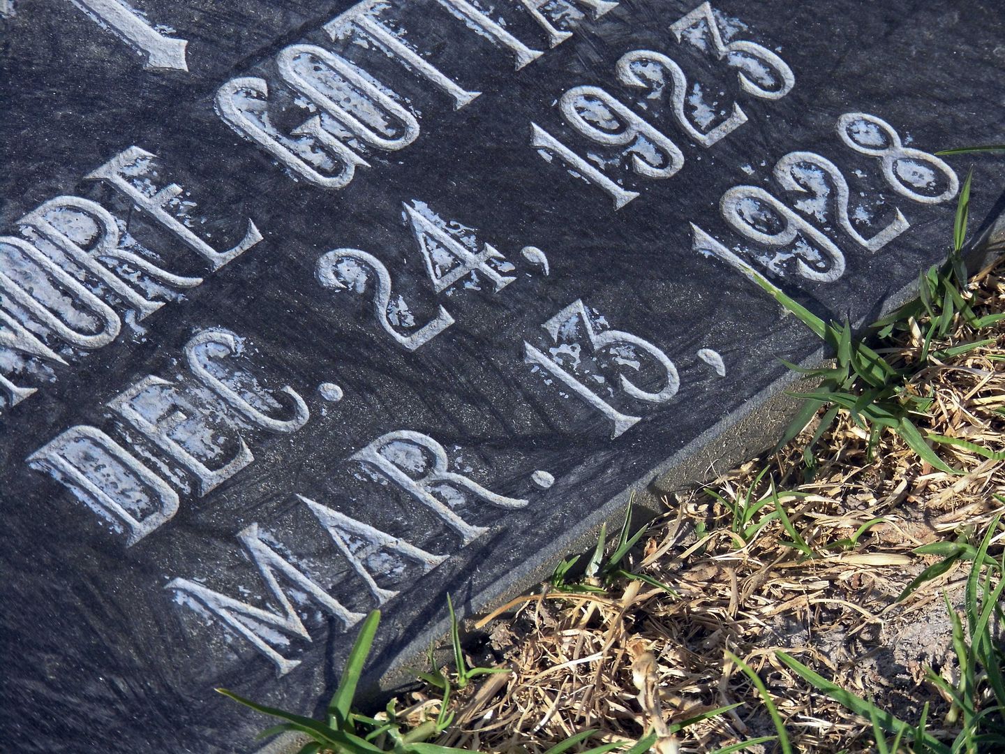
There's the wife and 5 children of Italian immigrant Joe Gottardi, who leased a property just west of the Edison camp from Newhall Land and was in his home as it got carried away by the flood. Only he and one daughter, Vena, survived.


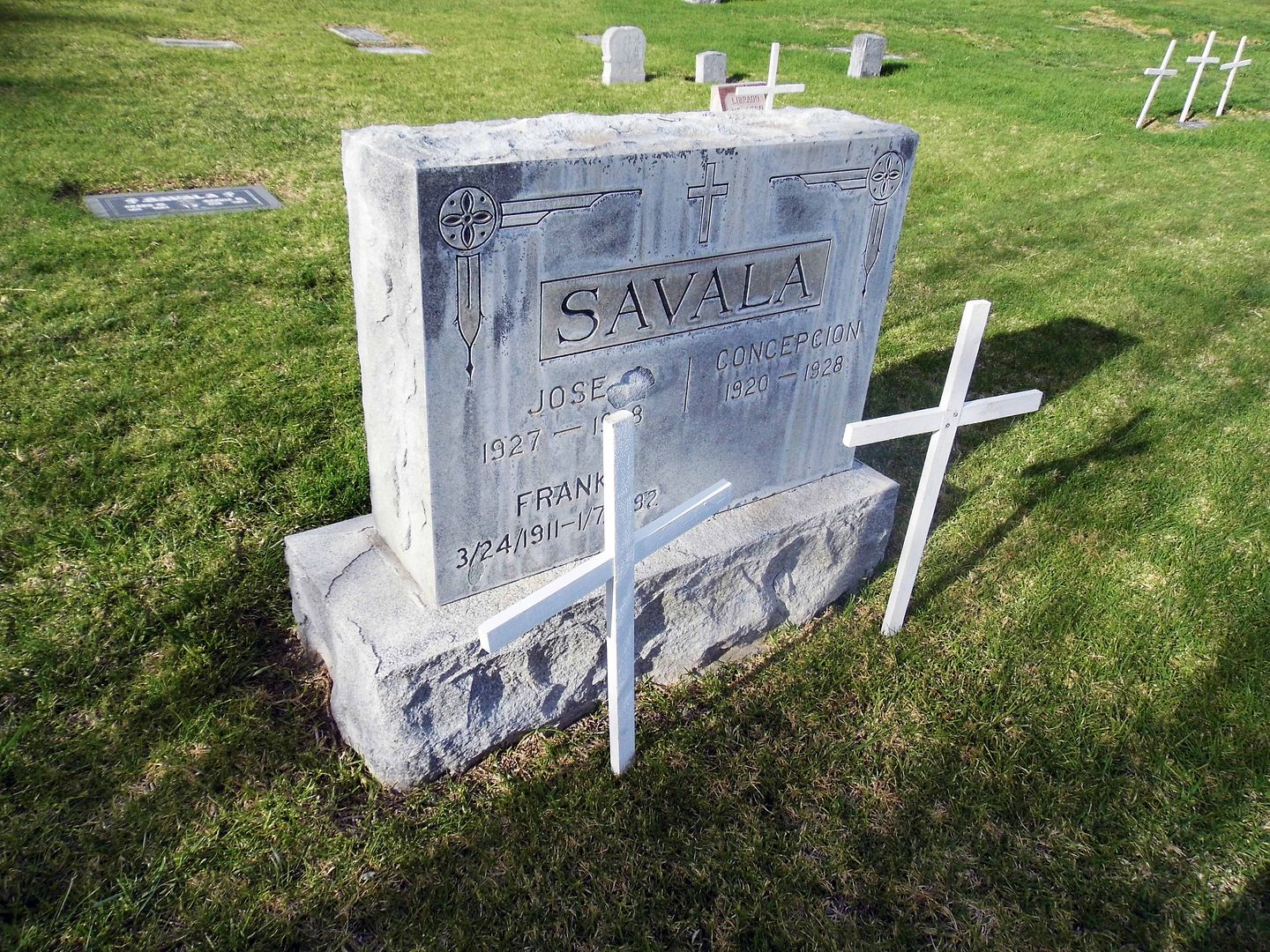
Esteban "Steve" Savala was also living with his family on Newhall Ranch land the night of the flood...


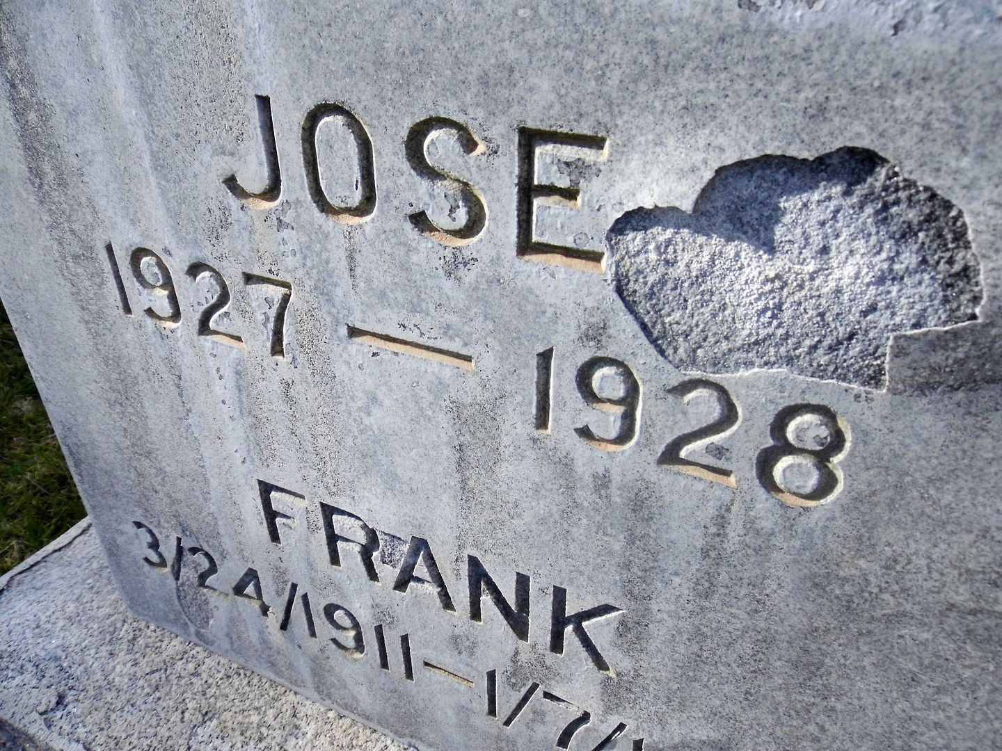
...and lost his wife Carlotta (Lopez) and children Juanita, Lucy, Rosa, Concepcion, Juanita, and Jose that night.


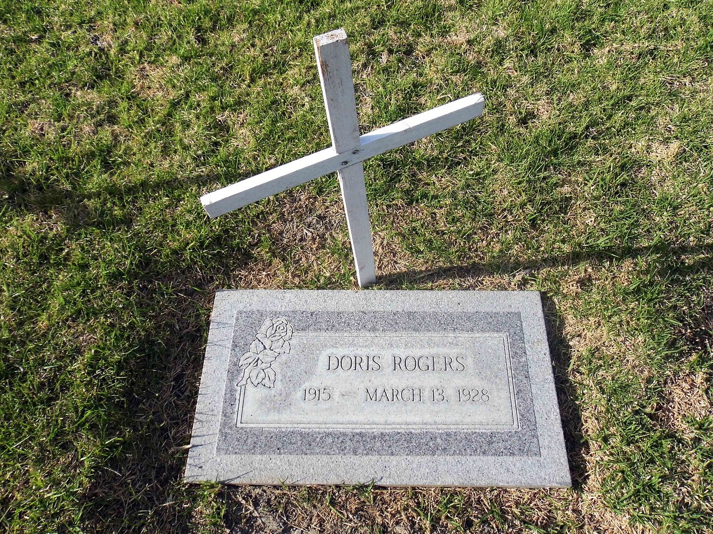
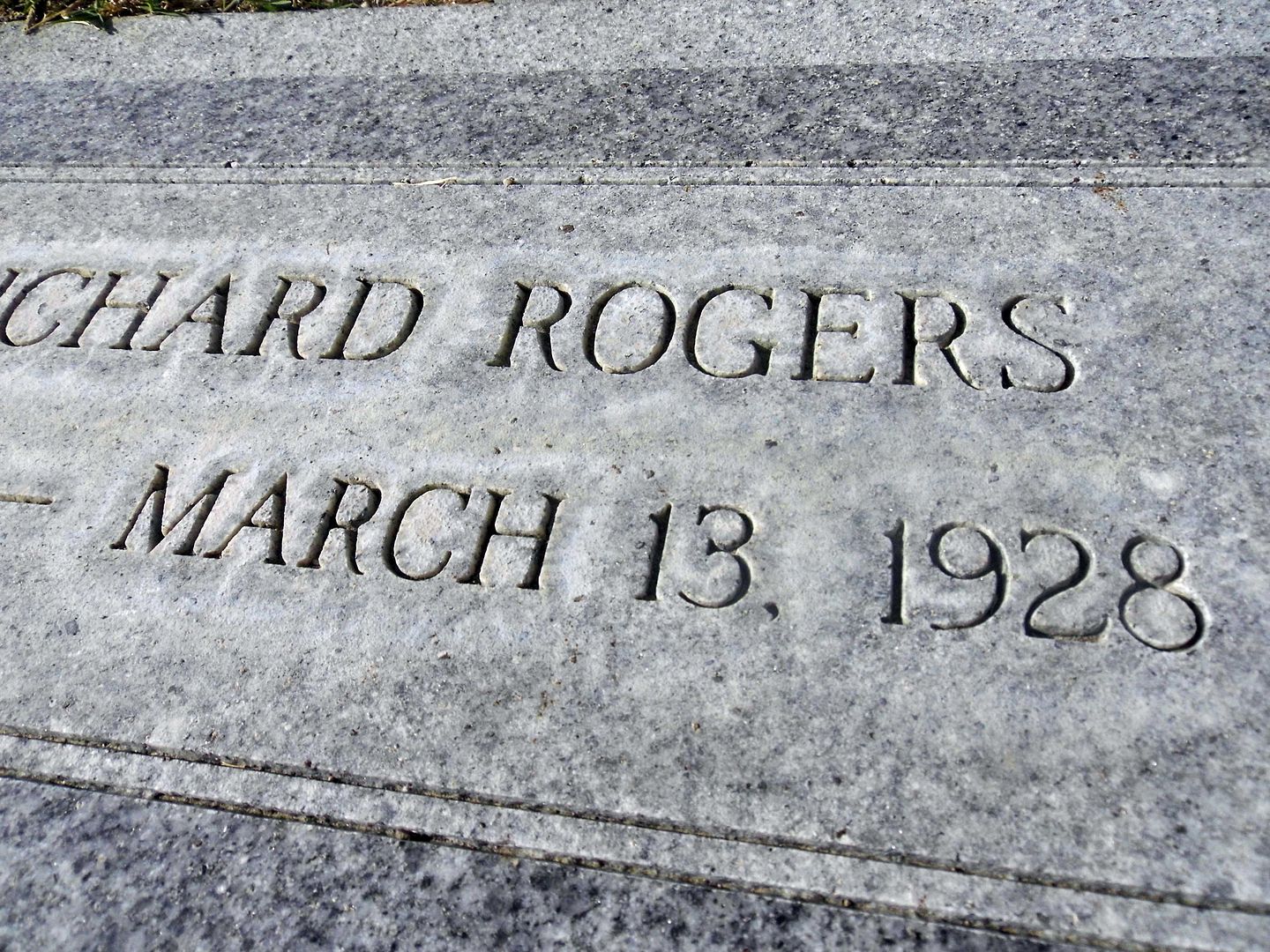
Chester R. Rogers and Velna E. Topley survived, but lost their four children to the flood—Doris, Chester, Margaret, and Richard—and Velna's mother, Rozetta.


A monument to the victims of the St. Francis Dam Disaster was dedicated at Piru Cemetery upon its 90th anniversary in 2018. To find the gravestones of the victims, look for those marked with the exact date of March 13, 1928.

Even more victims are buried at Pierce Brothers Santa Paula Cemetery, Pioneer Cemetery in Sylmar [Ed 3/24/20: An expert tells me this has been disproven], Oakwood Cemetery in Chatsworth, and the Ruiz family cemetery (on private land).

People tend to go in March every year around the anniversary date, and the Santa Clarita Valley Historical Society usually hosts a lecture and bus tour or two this time of year. But this time of year this year, we're experiencing our own disaster-in-the-making.

So, let's remember the St. Francis Dam Disaster and honor its victims beyond just the month of March—even if we have to do so from afar.

Related Posts:
Photo Essay: The Path of Destruction of the St. Francis Dam Flood, 86 Years Later
Photo Essay: A Pilgrimage to the St. Francis Dam Victims' Final Resting Place (Closed to Public)