Search

Showing posts sorted by date for query st. francis dam. Sort by relevance Show all posts

January 05, 2026

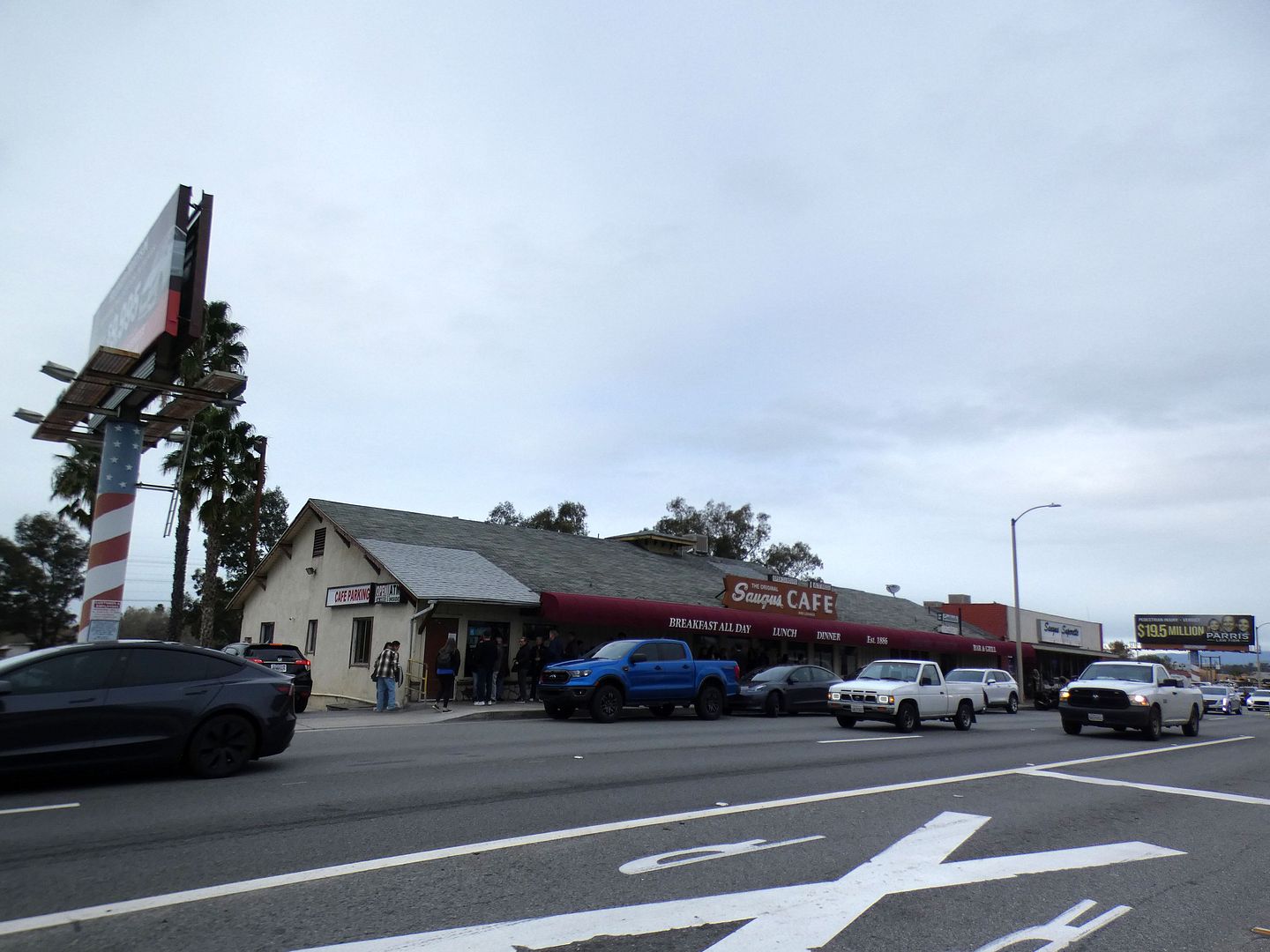
Photo Essay: Paying My Respects with a Final Meal at Saugus Cafe [Updated—Reopened Under New Management]

[Last updated 1/20/26 10:52 PM PT—After being closed for just two weeks, The Original Saugus Cafe reopened as Saugus Restaurant under new management. A report on the reopening has been added to the bottom of this post.]

[Updated 1/10/26 12:54 PM PT to add clarification of some details revealed in an LAist article and The Santa Clarita Valley Signal.]

"While the future plans for the building are currently unknown, we want to share that Saugus Cafe will officially close its doors on January 4, 2026."

 
That was the message posted on the front door and at the cash register at the oldest restaurant in Los Angeles County when I went for (perhaps) a final meal on the second day of 2026.

August 09, 2024

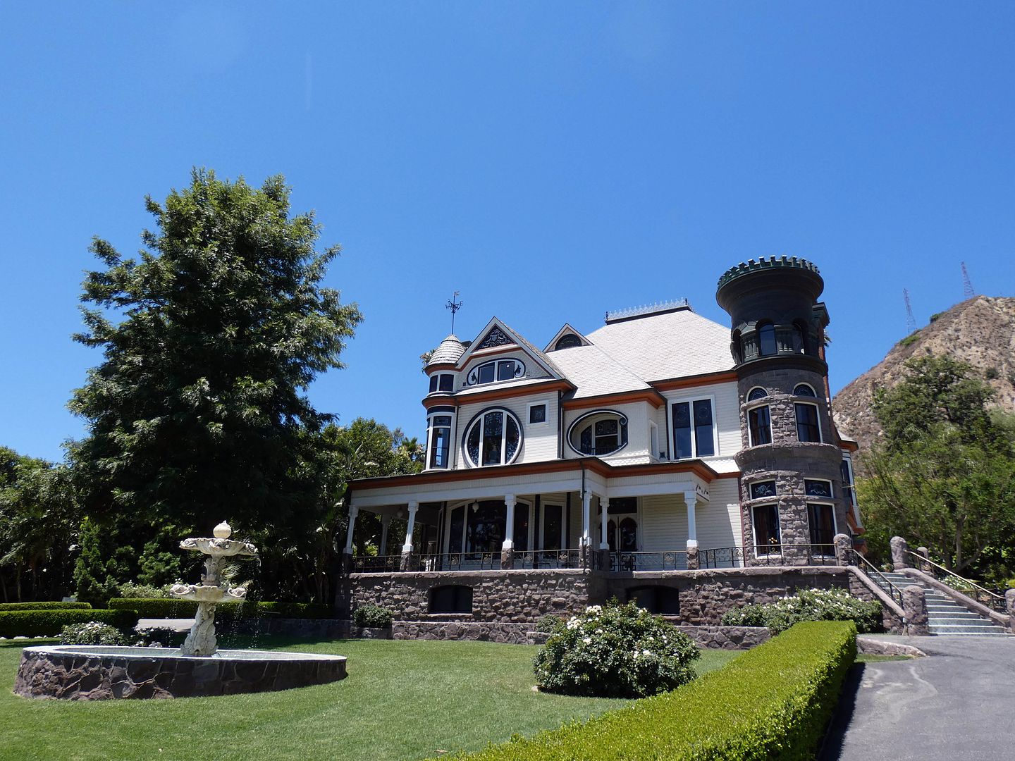
Photo Essay: Piru's Newhall Mansion is a 130-Year-Old Queen Anne Design in a 40-Year-Old Body

I first became intrigued with the Ventura County town of Piru because of its position in the path of the St. Francis Dam flood. (It's also home to a filming location from the music video to "Hot Legs" by Rod Stewart.) 

 
But then my interest was piqued even further when I found out there was a sprawling Queen Anne mansion in Piru—known simply as the "Piru Mansion," but also "Cook Mansion" and "Newhall Mansion."

September 22, 2021

Photo Essay: The Former Ranch of Hollywood's Silent Film Era Western Hero, Harry Carey Sr.

On a tour of the St. Francis Dam disaster flood plain a couple of years ago with the Santa Clarita Valley Historical Society, we were supposed to visit the "Harry Carey Ranch"—but it was closed for a wedding.  

I'd never heard of it—and when we drove by, I saw nothing of it. Nothing besides the sign for the Tesoro del Valle residential community, which was built nearly two decades ago in Santa Clarita, California.


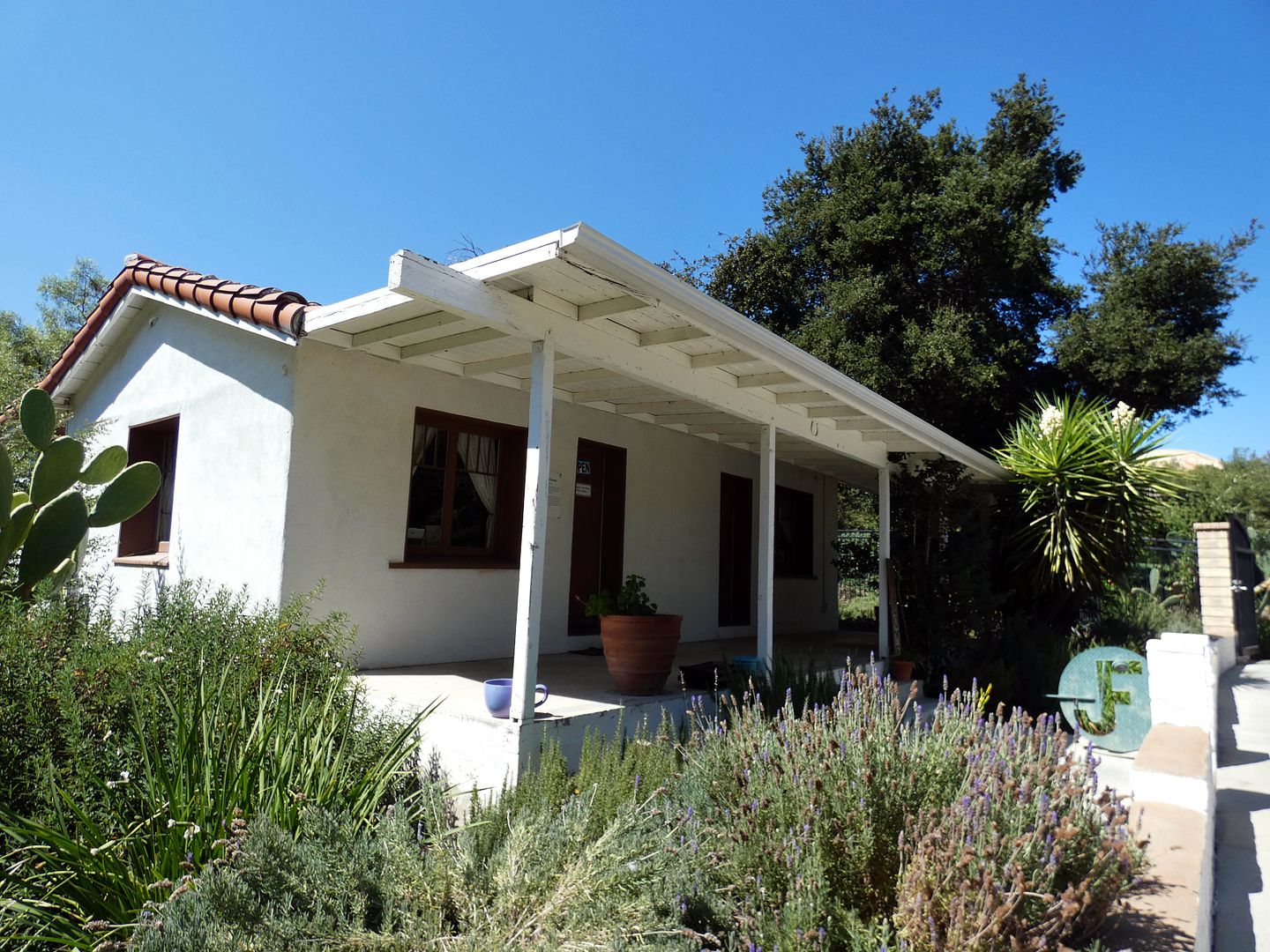
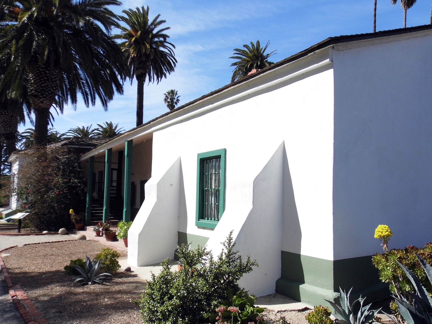
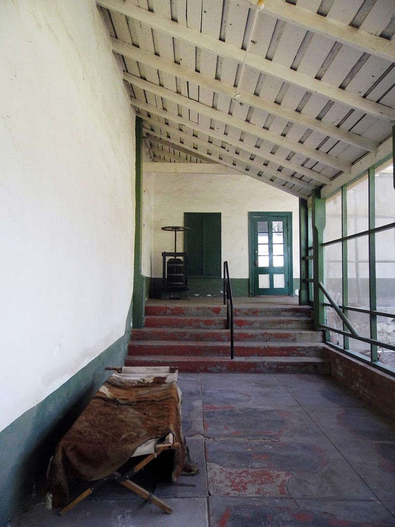
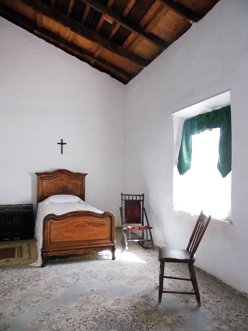
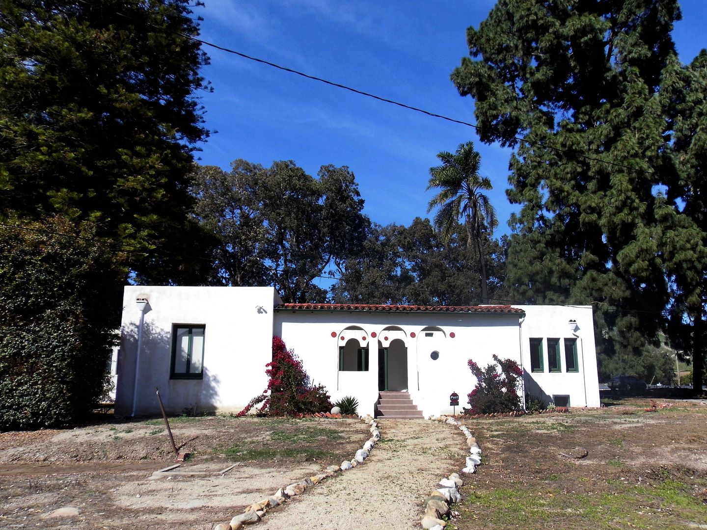
I finally got back there—to the Tesoro Adobe Historic Park—to see what was left of silent film star and Western movie hero Harry Carey, Sr.'s former ranch (reportedly "the first tourist attraction in Santa Clarita") and what had been washed away in the flood.  

September 13, 2021

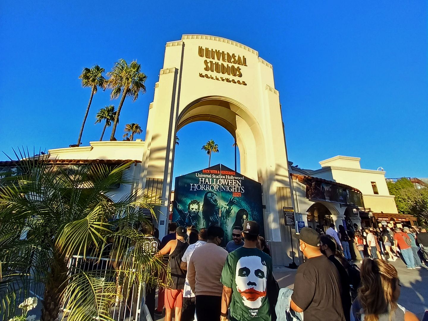
Photo Essay: Universal Studios Hollywood Halloween Horror Nights, Back in 2021 With a Vengeance

When I first experienced Universal Studios Hollywood in 2015, I considered it one of the best places in LA. 

I know that sounds like sacrilege—especially coming from someone whose favorite LA places include the Los Angeles River, the abandoned Murphy Ranch, and the St. Francis Dam Disaster Site

But when I returned for Halloween Horror Nights in 2019, and again for the studio tour in 2021, I was even more sure about it. 

I wasn't crazy. Universal Studios is great.

Oh, it's no Disneyland or Knott's Berry Farm—but it's not meant to be. It's a uniquely Hollywood amusement park, with plenty of film history to offer. 


And I couldn't wait to go back to its Halloween Horror Nights, after having a good time there two years ago and it being suspended last year during COVID-19 closures.

July 27, 2021

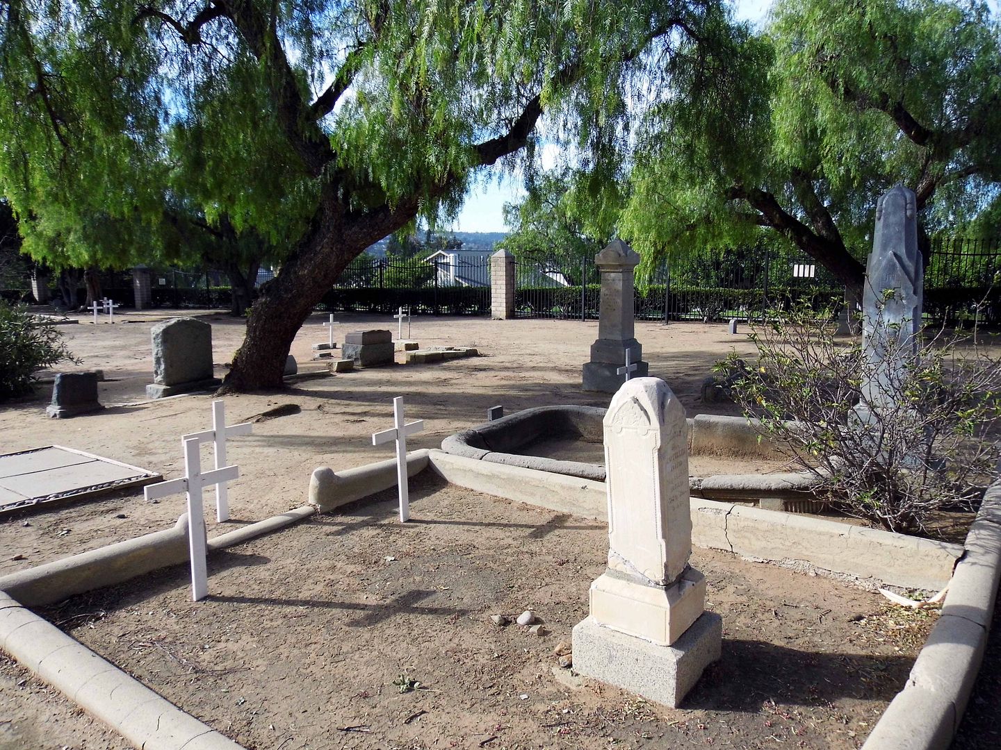
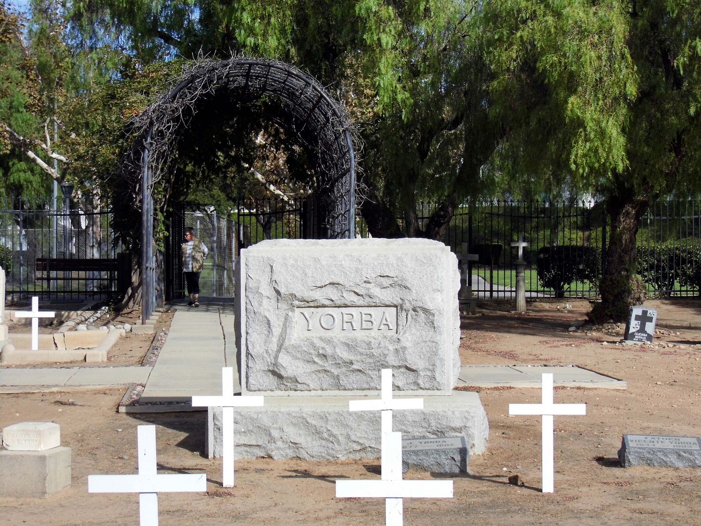
Photo Essay: Orange County's Oldest Private Cemetery (And All That's Left of the Yorba Rancho)

Since I often get overwhelmed by huge, sprawling cemeteries, sometimes the most interesting ones for me are those created for just families and friends. At least then, all those buried there are somehow connected.


And it can be a nice break from the star-studded nature of "Hollywood"-style cemeteries like Hollywood Forever and Forest Lawn, where tourists make pilgrimages to the headstones of their favorite celebrities like they would the stars on the Hollywood Walk of Fame. 


At the historic Yorba Cemetery in Yorba Linda, California, members of its founding family were of great renown—at least, in present-day Orange County (and, to a lesser extent, San Diego County). 


They were the family members and close associates of the pioneer Yorba family—eponymous founders of the town of Yorba Linda and the cemetery therein. 

March 20, 2020

Photo Essay: The St. Francis Dam Flood Plain, Upon the Anniversary of the Disaster

On the night of March 13, 1928, there were 145 men—maybe as many as 185—sleeping at a work camp called Kemp, set up by the Southern California Edison Company on the slope of the dry bed of the Santa Clara River near an area known as the  "Blue Cut" Promontory. (Not to be confused with the Blue Cut of the Cajon Pass.)

During the day, they were setting up new power lines; at night, they slept in tents.

But that one night, the enormous flood was coming from the St. Francis Dam break, raging on its way toward the Pacific Ocean. And by the time anybody knew enough about the danger to warn them, it was too late.

Most of them died, and nearly all of them were stripped of their clothing from the force of the debris flow.

The few survivors there were came to Rancho Camulos for help (and dry clothing).


Ranch owner August Rubel—a New York-born son of Swiss immigrants—and his wife Mary were awakened by a ranch foreman, who alerted them to a lot of water running through the normally dry river. The truth is that along its path, the water flooded over the river banks and—although no one lost their life at the ranch itself—created extensive damage to their agricultural operations (which included citrus orchards and cattle ranching).


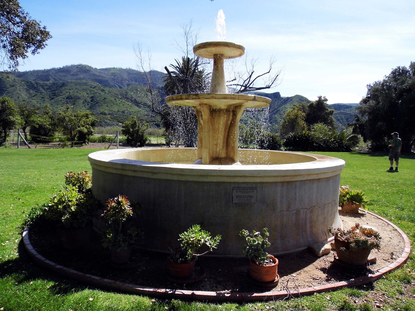
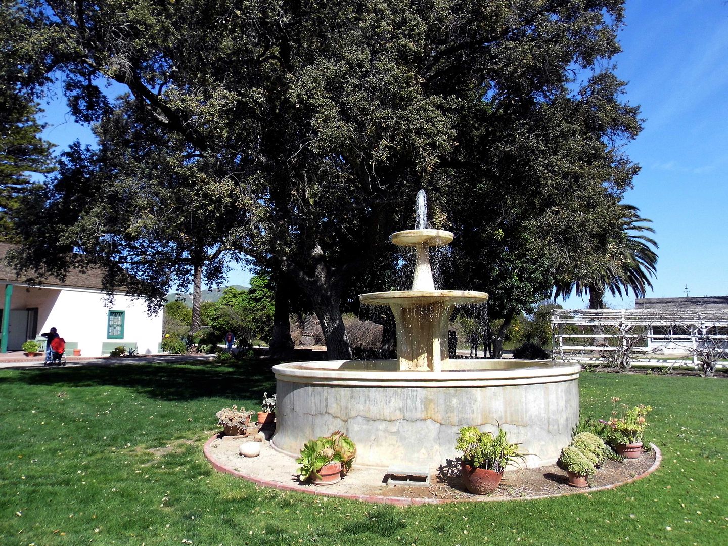
The flood waters washed up past the old fountain that had been built in 1852 by Ygnacio Del Valle, the son of the original recipient of this westernmost part of the 48,000-acre Rancho San Francisco Mexican land grant in 1839—Antonio Del Valle. Both members of an important Californio family during the Mexican period and early California statehood, Ygnacio had inherited it from his father in 1841.


In fact, the water came nearly right up to the ranch house, sparing the dwellings by just inches. And while the fountain took a pretty big hit, the Rubels—who'd purchased the property in 1924—rebuilt it in 1934. (It was later restored in 2009.)


By then, Rancho Camulos had already been a historic property for decades—especially since novelist Helen Hunt Jackson, who visited the last of the "real" Spanish ranchos in 1882, based part of her wildly successful book Ramona there. D.W. Griffith also shot part of his 1910 movie version starring Mary Pickford at the ranch.


In the wake of the St. Francis Dam disaster, there was a lot of misinformation and no easy way of correcting it. The living were scrambling to identify the dead and locate the missing. And in that chaos, the false rumor spread that Rancho Camulos had been destroyed by the flood waters.


In fact, that wasn't true at all—but fans of Ramona far and wide were up in arms and besides themselves. Rubel had to make an announcement assuring the public that "The Home of Ramona" still stood.


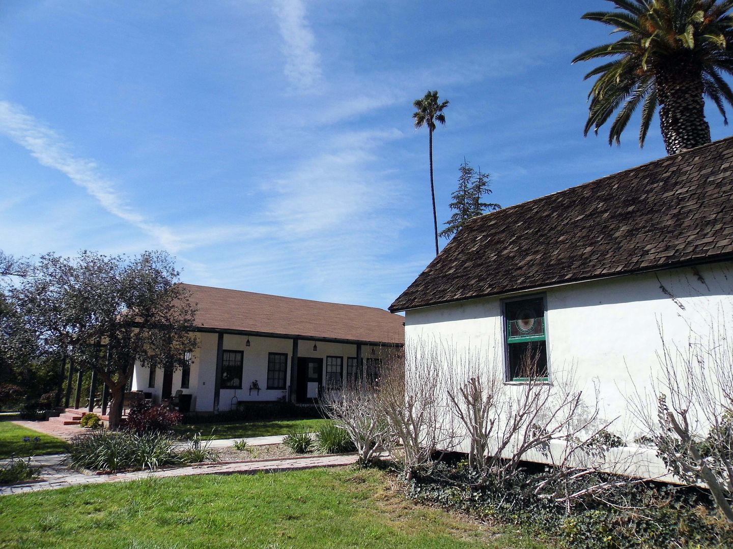
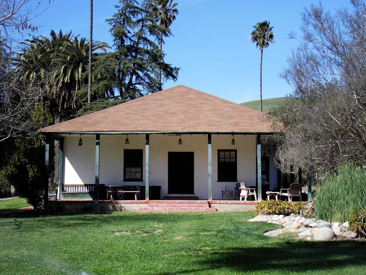
And, in fact, it still stands today—after a massive preservation effort to save it in the aftermath of the 1994 Northridge earthquake.


In 1853, Ygnacio Del Valle had built a small 4-room adobe for his majordomo and, 8 years later, expanded it to accommodate his wife Ysabel and kids moving from their townhouse at the Los Angeles Pueblo.


By 1880, what began as an adobe with 2-foot-thick walls—constructed by Mexican laborers and members of the Fernandeño Tataviam Band of Mission Indians—grew to a 20-room, hacienda-style estate that sprawled across more than 10,000 square feet. And that example of Spanish-Mexican vernacular architecture is what, in part, inspired the tale of Ramona, first published in 1884.


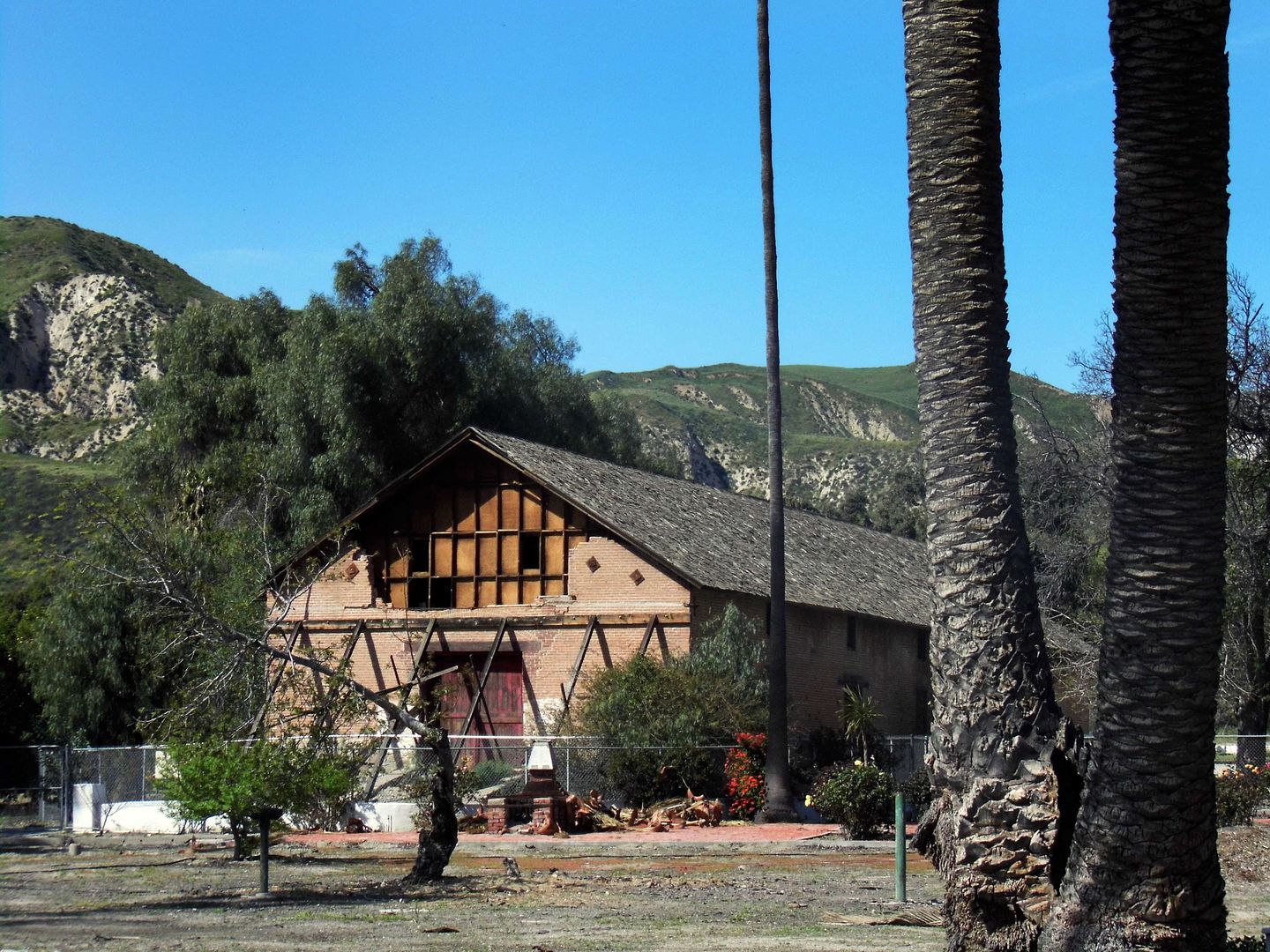
Today's "Ramona seekers" can admire the old, crumbling brick winery (circa 1867) from afar...


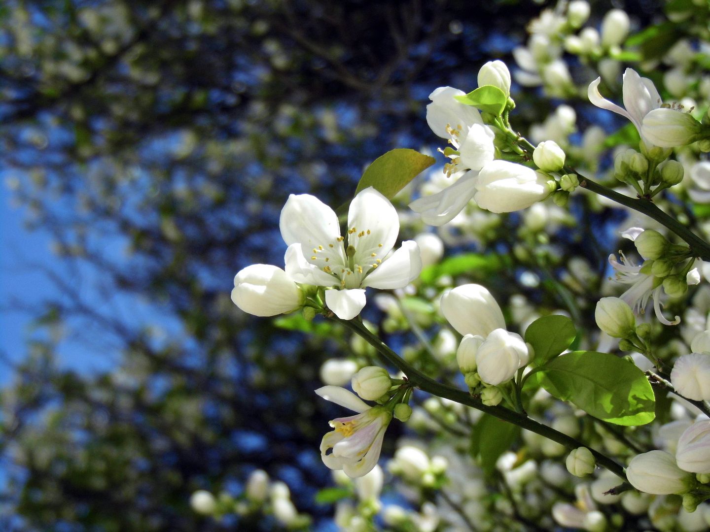
...and inhale the sweet and floral perfume of the orange blossoms, which are in full bloom this time of year.


About three miles away from the Santa Clara River (still dry) and across what's now Highway 126 is the town of Piru, whose cemetery contains the tragic remains of many of the victims from this part of the flood plain.


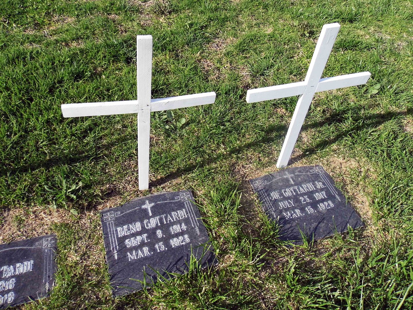
There's the wife and 5 children of Italian immigrant Joe Gottardi, who leased a property just west of the Edison camp from Newhall Land and was in his home as it got carried away by the flood. Only he and one daughter, Vena, survived.


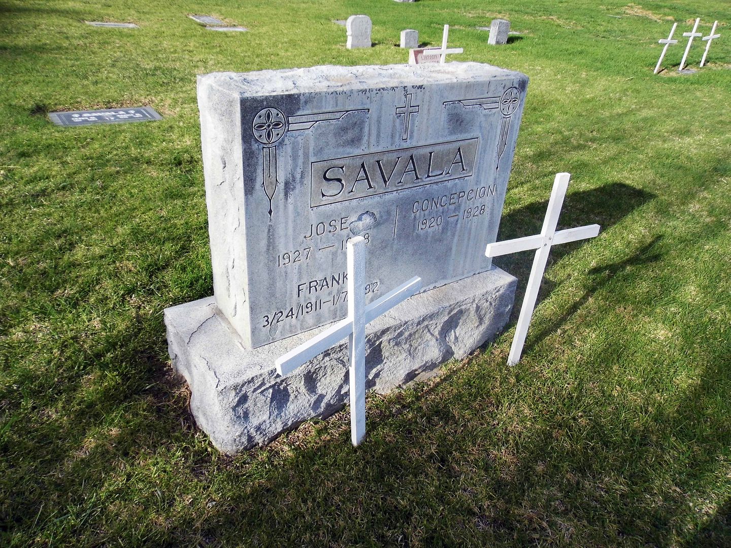
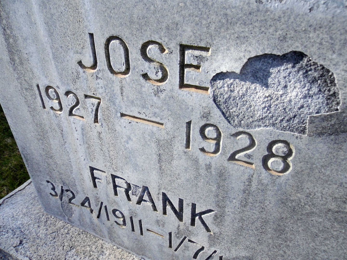
Esteban "Steve" Savala was also living with his family on Newhall Ranch land the night of the flood...


...and lost his wife Carlotta (Lopez) and children Juanita, Lucy, Rosa, Concepcion, Juanita, and Jose that night.


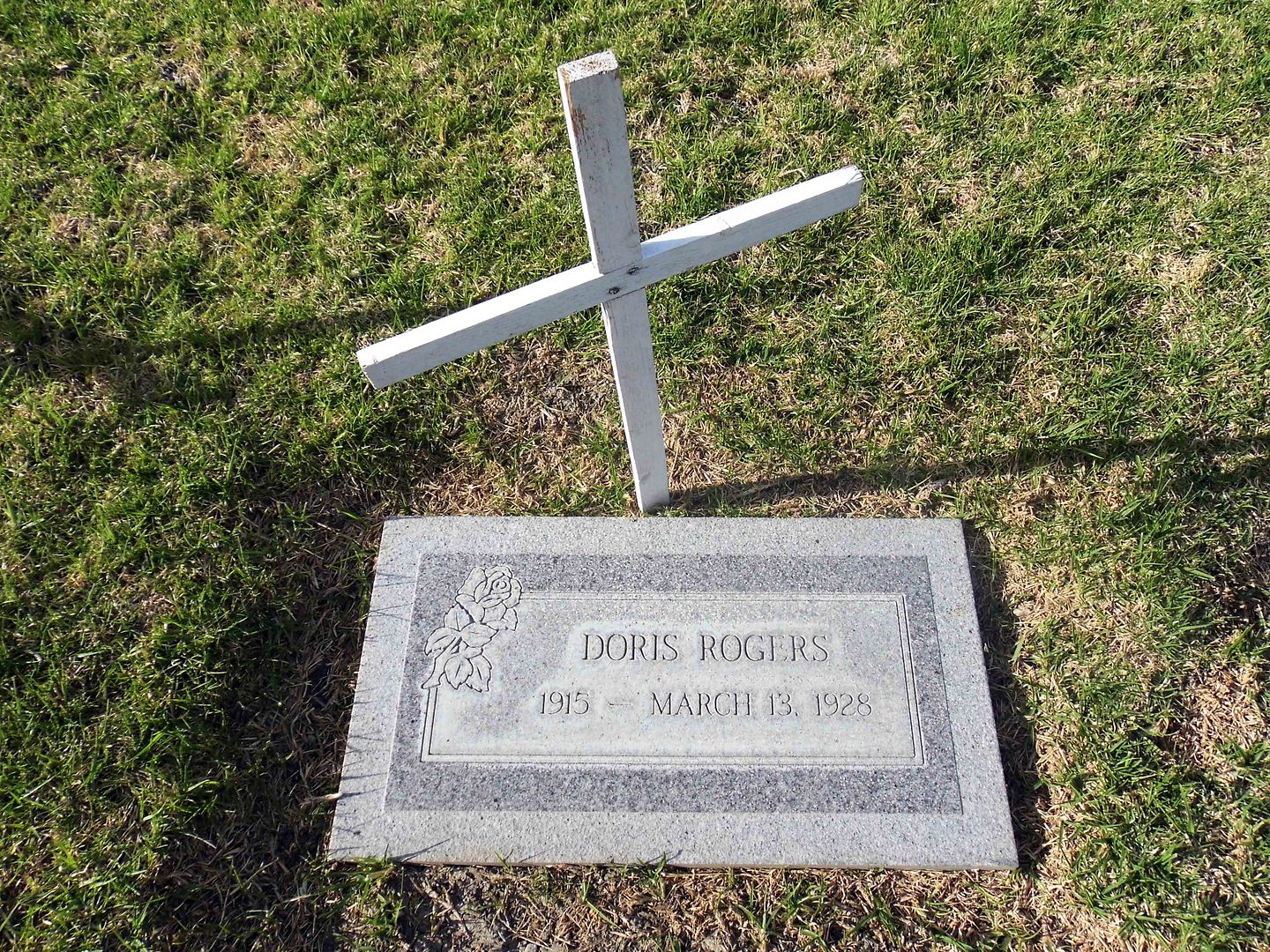
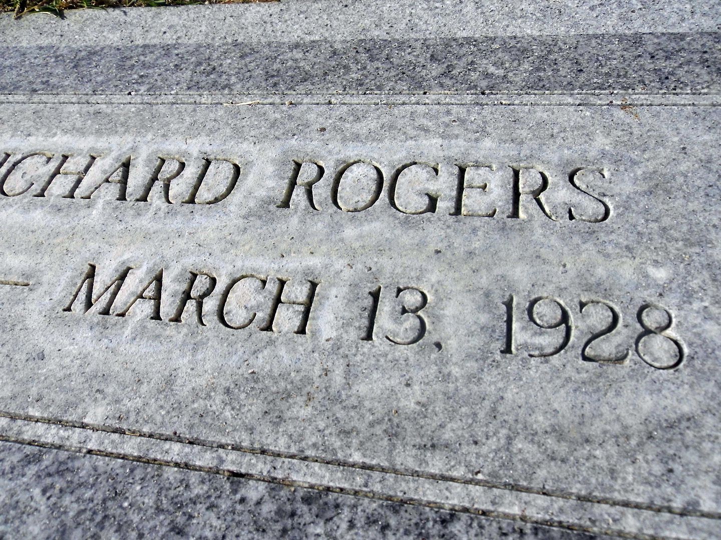
Chester R. Rogers and Velna E. Topley survived, but lost their four children to the flood—Doris, Chester, Margaret, and Richard—and Velna's mother, Rozetta.


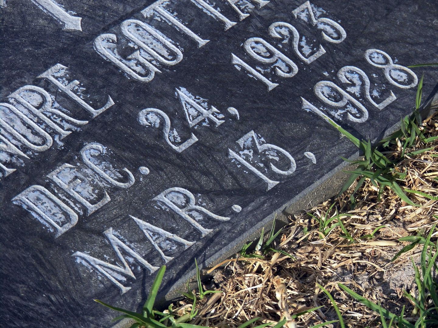
A monument to the victims of the St. Francis Dam Disaster was dedicated at Piru Cemetery upon its 90th anniversary in 2018. To find the gravestones of the victims, look for those marked with the exact date of March 13, 1928.

Even more victims are buried at Pierce Brothers Santa Paula Cemetery, Pioneer Cemetery in Sylmar [Ed 3/24/20: An expert tells me this has been disproven], Oakwood Cemetery in Chatsworth, and the Ruiz family cemetery (on private land).

People tend to go in March every year around the anniversary date, and the Santa Clarita Valley Historical Society usually hosts a lecture and bus tour or two this time of year. But this time of year this year, we're experiencing our own disaster-in-the-making.

So, let's remember the St. Francis Dam Disaster and honor its victims beyond just the month of March—even if we have to do so from afar.

Related Posts:
Photo Essay: The Path of Destruction of the St. Francis Dam Flood, 86 Years Later
Photo Essay: A Pilgrimage to the St. Francis Dam Victims' Final Resting Place (Closed to Public)

June 17, 2019

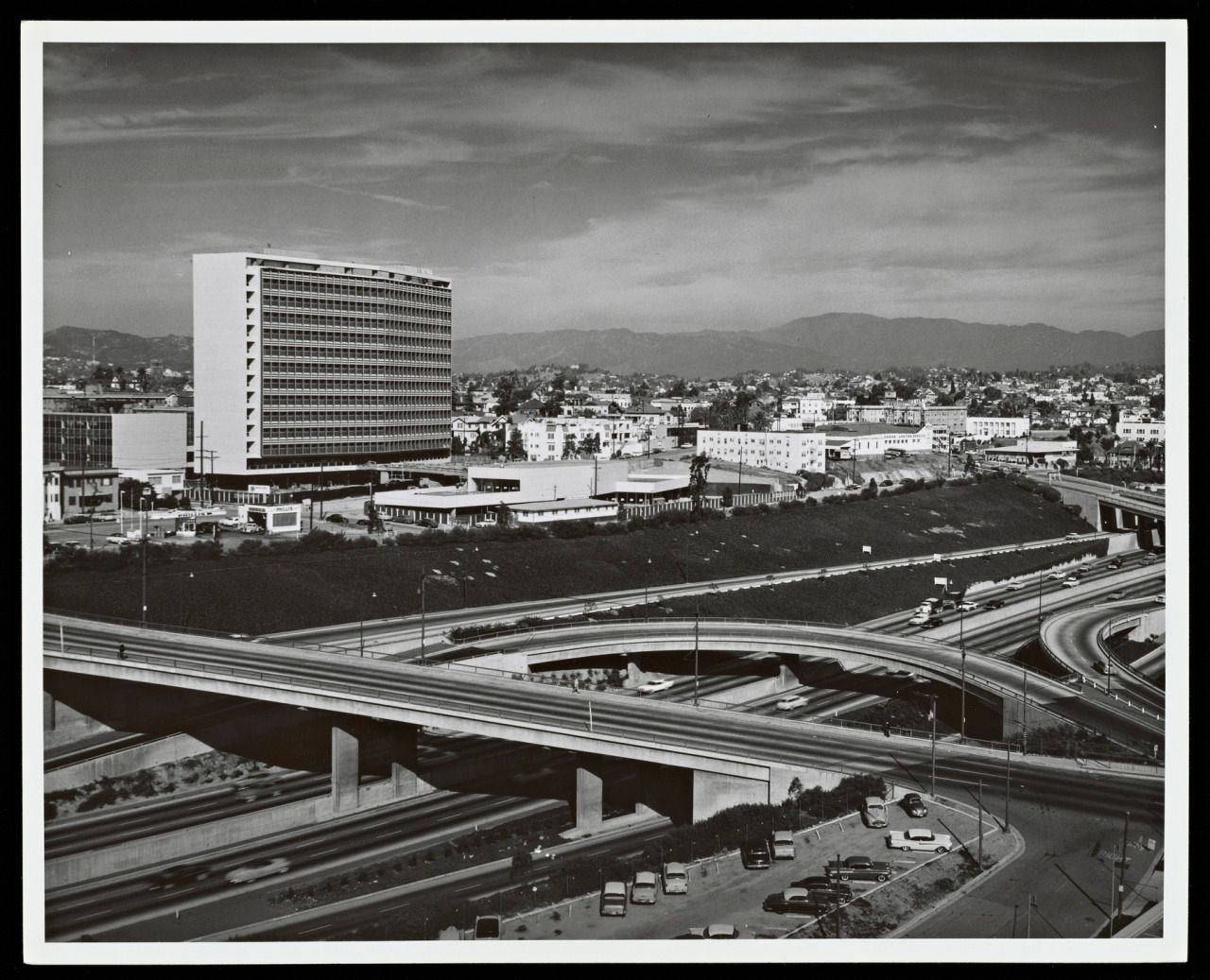
Photo Essay: A Mid-Century Cathedral of the Oil Industry, Saved By Hollywood

In 1955, the Four Level Interchange that connected the 101 with the 110 had only been open for a couple of years. The section north of it had just been designated the Pasadena Freeway, and the section south of it—the Harbor Freeway—continued to inch towards San Pedro.

The area immediately to the west of the 110 near the stack interchange was a bit of a "no man's land" at that point—too far east to be MacArthur Park or Westlake, and too far west to be Downtown Los Angeles or Center City (and now cut off from it by the freeway).

Some people still call it "City West." Lots of people don't even know it's there.


circa 1957 (Photo: Julius Shulman, Julius Shulman Photography Archive. Getty Research Institute.)

And that's where the former Union Oil Company of California chose to build its LA headquarters, known as Union Oil Center (and after 1983, as Unocal Center).

April 14, 2019

Photo Essay: Bridging the Gap Between Northern and Southern California

If nothing else, the construction of the "Ridge Route" mountain highway connected Southern California to our neighbors to the north. Some say that California might've split into two different states (North and South) without it.

That's why the Ridge Route Communities Museum and Historical Society, founded in 1996 and relocated to Frazier Park in 2003, covers all of the areas north of Castaic and south of Bakersfield.


Those mountain communities lie within the borders of three separate counties (Ventura, LA, and Kern) and across two national forests (Angeles and Los Padres, the latter formerly known as Pine Mountain Forest Reserve and Santa Barbara National Forest).


circa 2015

Driving on the Ridge Route is one thing—and was my bucket list item—but I wouldn't have known about it in the first place, had I not stopped to gawk at the museum's replica of a 1920s-era gas station.


circa 2015

One like this would've been located somewhere along the Ridge Route—in fact, in several places along the highway, since the harrowing ride necessitated services being available around every curve.


circa 2015

Gas would've been hand-pumped by a station attendant, who'd feed it into your Model T's gas tank by gravity.


circa 2015

And a mechanic would've been standing by—maybe under a shade tree—to fix a flat, faulty wiring, or anything else that kept you going on your merry way.


circa 2015

It turns out that the Ridge Route Communities Museum also functions as a repository for relics from the lost businesses of the Ridge Route—like the lampposts from the Spanish Colonial Revival-style Lebec Hotel, which burned and was razed in 1971.


Traveling on the Ridge Route now requires a good imagination—because you're pretty much only looking at where gas stations, rest stops, and hotels used to be.


The collection at the Ridge Route Communities Museum makes the memories of those lost businesses more tangible—even if just through broken shards from Caswell's or Sandberg's Summit Inn.


The Ridge Route may be abandoned now...


...but once upon a time, it was hopping.


On the museum grounds, you can even spot remnants of the road itself—historical "C" markers, put in place by California Highway Commission to provide survey points and mark the right-of-way. These markers were representative of the program to expand transportation services across the country.


circa 2015

You can also see antique equipment that was used in the building of the Ridge Route...


circa 2015

...including a cement mixer used from 1915-25 that was drawn by mules...


...with a drum that was run by 2-cylinder gas engine.


circa 2015

Other industrial relics onsite speak more to the communities surrounding the Ridge Route, rather than the route itself...


circa 2015

...including a horse-drawn "sulky plow," the riding plow that replaced walking plows when it was invented for John Deere in 1875.


circa 2015

Knobs, spigots, and wheels abound, with no obvious purpose...


...though some make for some mighty fine decoration.


circa 2015

You can also see the log cabin of the first non-Native American settlers at the Ventura/Kern county line, just west of Frazier Park.


circa 2015

The Cuddy family established the Lake of the Woods area—named by Mrs. Florence Hollenbeck Cuddy—although the reservoir "lake" has since been emptied.


circa 2015

These communities may have outlived this "dead" or "ghost" highway, but they might never have been established without it.

Maybe one day the 5 Freeway will become obsolete—either because we need even more lanes or because we're flying over it or tunneling under it.

And there's still talk of splitting California into two (or three) states.

So who knows what the future will bring?

I'm still trying to understand the past.

Related Posts:
Photo Essay: The Forgotten Highway Between LA and Bakersfield
Photo Essay: Hiking Old San Francisquito Canyon Road, Along the Path of the St. Francis Dam Flood
Photo Essay: The Road That Google Maps Forgot, Old Hwy 62
Photo Essay: The Rusty Ruin of Antique Machinery

April 11, 2019

Photo Essay: The Forgotten Highway Between LA and Bakersfield

Before the Castaic-Tejon Route opened, there was no good way to get from LA County to Bakersfield (or back). Stagecoaches and wagons could make it, but the trek over the Tejon Pass was harrowing. And because of drainage issues, dirt roads to the north of LA often became muddied or downright flooded.


As "automobilists" (as they were called) began taking over the roadways with motorized vehicles, those dirt paths just no longer cut it—and they began to complain.


The solution offered by the newly-formed State Bureau of Highways? Carve out a road, high up along a mountain ridge to keep the puddles away (not taking into account the snowpack of the harsh winter seasons), by using horse- and mule drawn-scrapers and grader.


German Point in background

Today, a very civilized, paved portion of the old "Ridge Route" runs alongside the 5 Freeway—its eventual replacement—in Gorman, a common pit stop for travelers needing to fill or empty their tanks.


Since renamed Gorman Post Road, it passes the former sites of the Gorman Inn, the first store in Gorman, and the home of Oscar and Mary Ralphs (brother and sister-in-law of the grocery store chain founder).


You can even see some original curbs along the road shoulder, some dated 1924 (although the Ridge Route's first iteration actually opened in 1915). In the beginning, the Ridge Route was so narrow that some joked it was just one long sidewalk.


Today's Gorman Post Road is also where a lot of the construction camps were set up for the workers who first put down the gravel and oil road bed—and would later lay reinforcing rods and tamp the wet concrete down (circa 1919).


Between the construction works and the travelers, there was plenty of business for the free water given away at German Station, as well as the goods for sale at Caswell's Road Stop, the services provided by mechanics, and the gas pumped at Holland Station #1.


But like many of those early roads, it quickly became obsolete. The two-lane engineering feat of the Old Ridge Route was bypassed in 1933 by a straightened, three-lane alternate (with a center "suicide lane" for passing) that became Highway 99.


Even Highway 99—which shortened the journey by nearly 10 miles—gave way (mostly) to the eight-lane 5 Freeway, which began construction in 1963 and opened in 1970. Though the Ridge Route was abandoned, it wasn't erased.


In fact, at the southeastern terminus of Gorman Post Road, west of where Quail Lake reservoir is now and in the general vicinity of the former Bailey Ranch, you can actually drive on a flat, well-preserved stretch of the Ridge Route. It just doesn't go anywhere.


To follow the original path of the Ridge Route, you've got to get off of Gorman Post Road and turn left onto Lancaster Road (a.k.a. Hwy 138) and drive 2.5 miles to the signed juncture with Old Ridge Route Road.


That's where the old route finally begins to climb the ridge, looking down over the former General Petroleum (later Mobil) pumping plant and Pacific Telephone and Telegraph Relay Station. This is the future site of Centennial, California—a master-planned community on land owned by Tejon Ranch—in the westernmost portion of the Antelope Valley.


It's actually not that easy to follow the entirety of the Old Ridge Route because, like Route 66, its alignment did change—and portions of it were even buried with the construction of the California Aqueduct.


But a stretch of this "miracle of modern engineering" that runs through Angeles National Forest is both drivable and maintained.


It's a fun destination for vehicular tourism...


...but it also provides access to some recreational and historic sites (as well as campgrounds).


In fact, the most famous stop between LA and Bakersfield was a midpoint waystation known as Sandberg, whose lampposts across the street beckoned travelers (no truckers or dogs allowed) to stop at its Summit Hotel, located near the peak of the Ridge Route at 4100 feet of elevation. (The streetlights' concrete footers still stick out of the hillside.)


Sandberg's Summit Hotel—which was later sold and rebranded The Sandberg Lodge—was set to reopen in 1961 as a children's camp when it burned to the ground. Nothing has ever been built in its place.


And that's where the Ridge Route really starts to get interesting.


Although the county no longer maintains the road, you can still drive on it—at least, until you hit a locked gate.


This is also where you get a good feel for a few of the route's 697 curves that you could really only take safely at 15 mph in a car.


And even so, some of these stretches have since been widened, their hairpin turns more gentle, with even some blacktop that was added later (though now crumbling, revealing the original concrete in astonishingly better condition).


As you round Horseshoe Bend, with Liebre Mountain in the distance and the ghosts of the former Liebre Construction Camp as your guides...


...you've got to swerve and snake your way past the rockslides that nobody has cleared, trying not to drive off a cliff as you take in the scenery.


Up there, long-gone guard rails would save some careless drivers—sometimes.


The big payoff for your drive are the ruins of the Tumble Inn (later, the Mountainview Lodge).


Although the landmark arch is some rebuilt version of the original, the edifice of native stones still marks a nice turnaround point.


If the road south of the Tumble Inn is open, you can take it past the site of the former Kelly's Halfway in, and all the way down to Castaic. But when you get there, you might find the gate at the other end closed, forcing you to make a two-hour drive back the way you came.


By 2005, the road had suffered so many rockslides and washouts that it's been officially closed—but sometimes the gate is open. (And even when you can't drive on it, you can walk/hike on it.)


I'm banking on it being open the next time I come to the area, so I can see the rest of it (as well as any sections north of Gorman that are still open).


Photo: Circa 1922, Automobile Club of Southern California collection, USC Libraries (Public Domain, via Wikimedia Commons)

Stay tuned for dispatches from my visit to the Ridge Road Communities Museum and Historical Society. 

Related Posts:
Photo Essay: Hiking Old San Francisquito Canyon Road, Along the Path of the St. Francis Dam Flood
Photo Essay: The Road That Google Maps Forgot, Old Hwy 62