Search

Showing posts sorted by relevance for query highway 99. Sort by date Show all posts

September 19, 2020

Välkommen to Highway 99's Turn-of-the-Last Century Swedish Village, Kingsburg

I've been to IKEA maybe three times in my life, and I just don't get Americans' fascination with this Swedish brand. It's got to be more than the hot meatballs they serve in the marketplace. 

And it can't be that we have so many Americans of Swedish descent. Although the Swedes did arrive to the New World in waves—from the mid-1600s (the New Sweden Company trade expedition) to the late 1880s—they mostly stuck to certain Scandinavian communities where they could farm, as they had back home. 

That explains the Swedish colonies of the Midwest, surrounding the Great Lakes—with "Little Sweden" towns still located in Minnesota and even Illinois. At the turn of the last century, Chicago was the second-largest Swedish city in the world. 

Immigrant Swedish farmers also found their way to the agricultural riches of California's San Joaquin Valley—a.k.a. the "Central Valley," specifically to the town of Kingsburg, just south of Fresno along historic Highway 99. 

In its heyday, having been officially designated in 1926, Highway 99—the "Golden State Highway" before it was replaced by the 5 Freeway between LA and Bakersfield—had earned the nickname "The Main Street of California." 

And driving through Kingsburg, it's clear why. 

It was officially established as a town in 1908, after a group of Swedish immigrants settled in what used to be called "Kings River Switch" along the Central Pacific Railroad's Valley Line in the 1870s. 
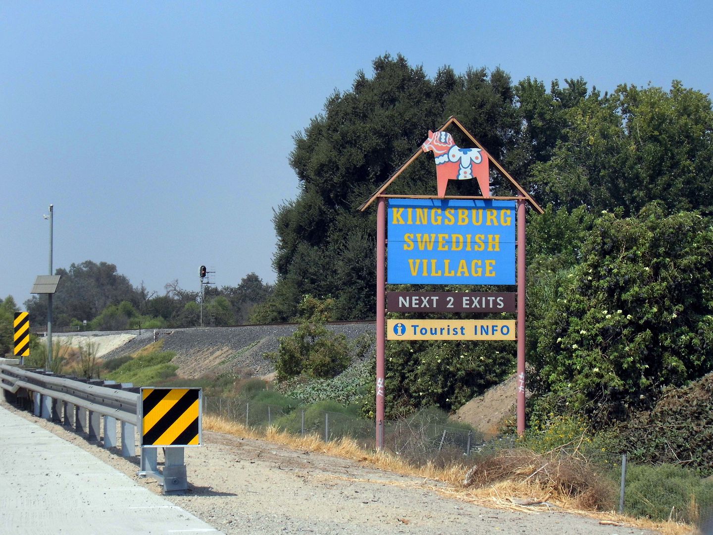


But it wasn't until 1921 that Kingsburg really earned its "Little Sweden" nickname—when 94% of the population within a 3-mile radius was classified as Swedish-American. 
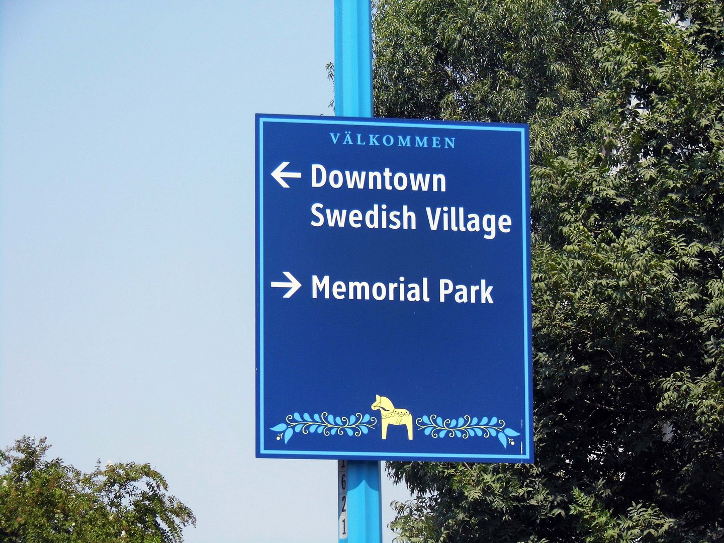


Nearly 100 years later, its Scandinavian population may have dwindled...
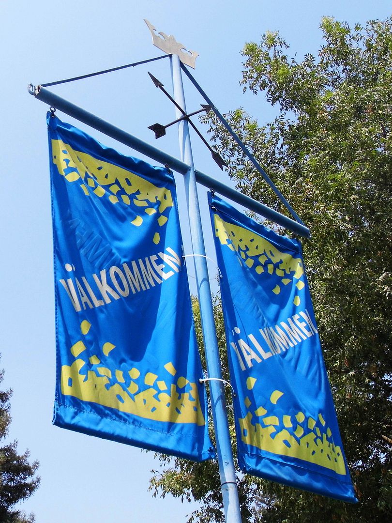


...but signs off the 99 and throughout town still greet visitors and passers-by with a "Välkommen."
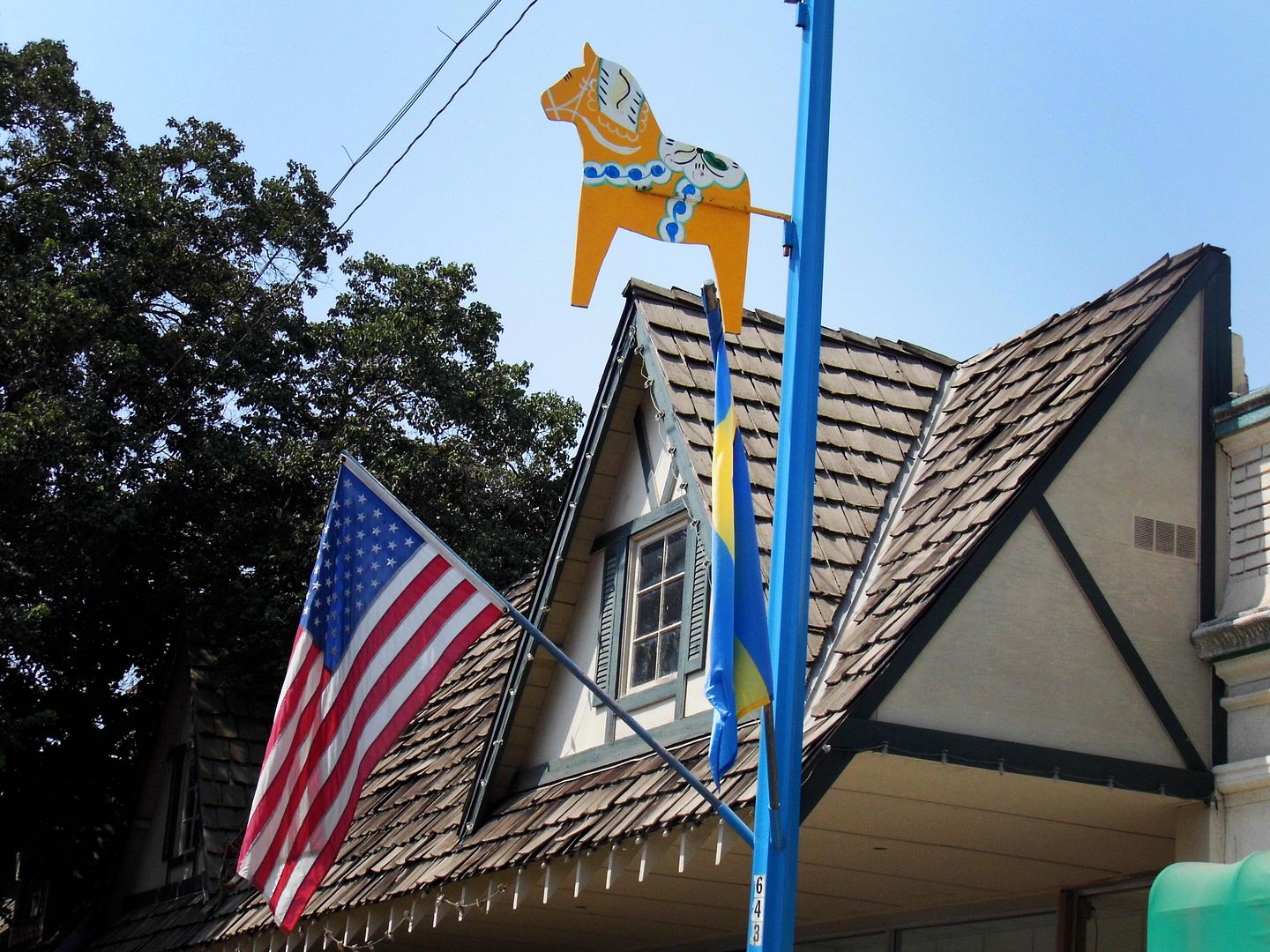


Depictions of dala horses (a.k.a. Dalecarlian horses, or wooden horses originating from the Swedish province of Dalarna/Dalecarlia) dot the town...
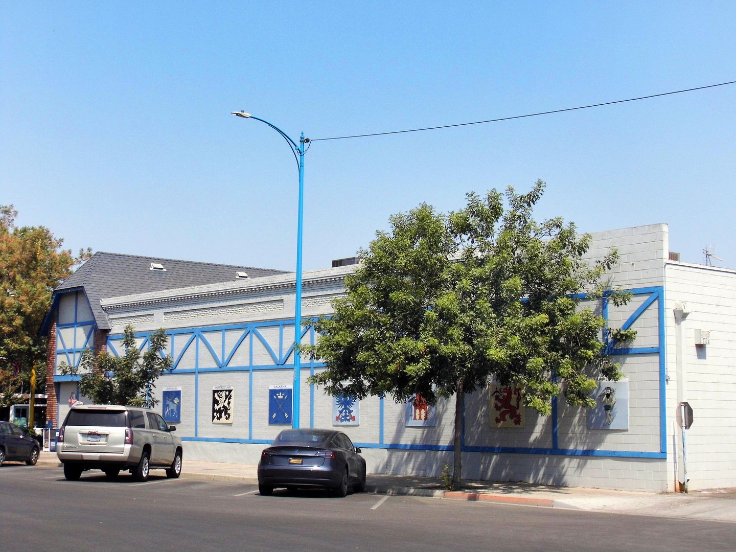


...on flagpoles and lampposts, sides of buildings...
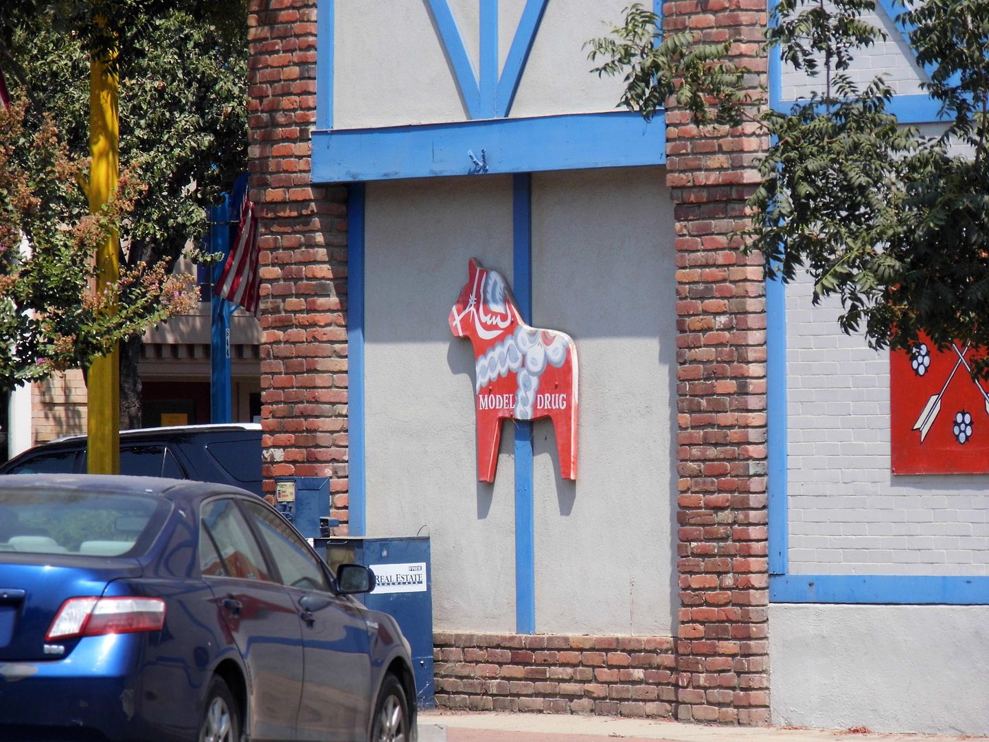


...and inside and outside the Swedish Village's butiks. 
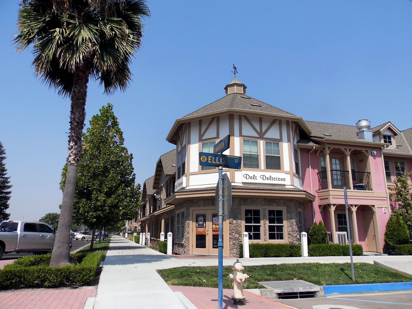


Kingsburg keeps the Swedish theme alive not only through its architecture—but also its events, with the annual Swedish Festival having occupied the third weekend in May since it launched in 1924 as an early celebration of the midsummer/midsommar harvest. What began as a simple luncheon has evolved into a tourist draw that features, of course, a smorgasborg as well as the raising of the maypole and traditional Nordic dance.
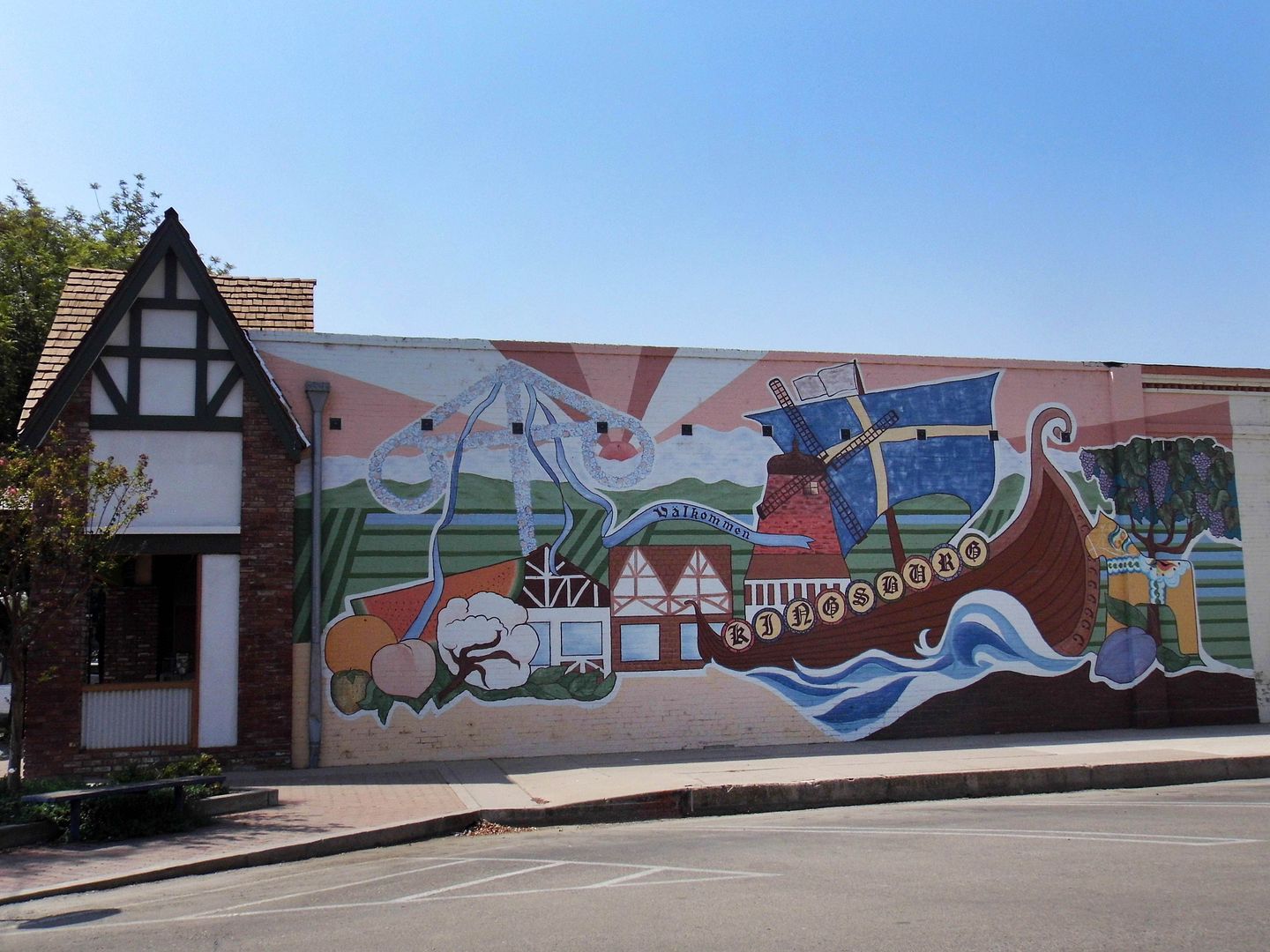


There's also the Julgransfest annual lighting of the Kingsburg Christmas tree (julgrans) and Santa Lucia Day—December 13, the feast of the 4th-century Christian martyr Sankta Lucia, considered the kickoff for "Christmastide" (the 12 days before Christmas).  
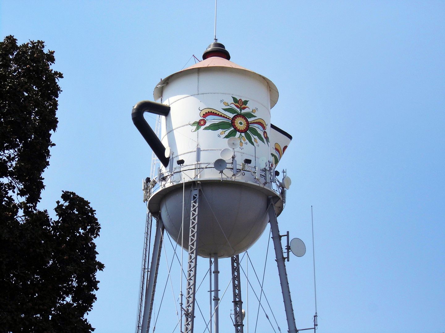


But on a day-to-day basis, roadtrippers exit the 99 at Kingsburg to do a little shopping and a little gawking—like at the town's circa 1911 water tower, which has been a coffee pot since it was remodeled in 1985. Standing 122 feet off the ground, it pays tribute to Sweden's obsession with coffee, which rivals most countries in the world in terms of per capita consumption. For Swedes, having a coffee—a ritual known as fika—is a way of life!
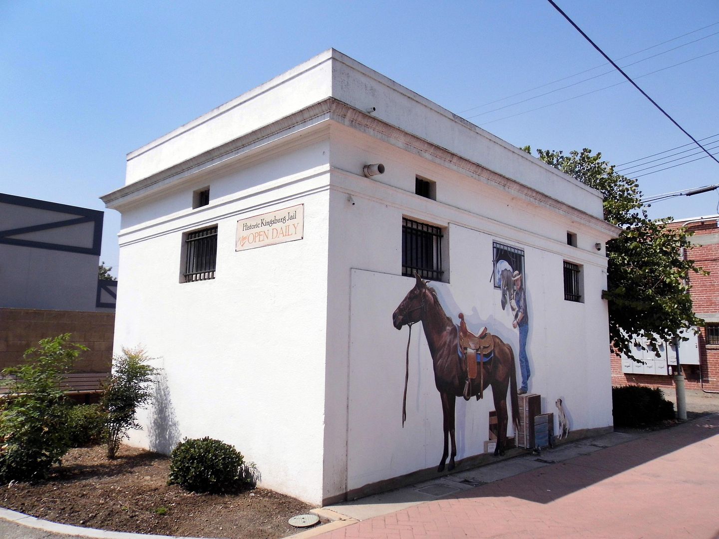


The coffee pot water tower is conveniently located near the decommissioned Kingsburg City Jail, built 1925 and now leased to Kingsburg Historical Society as a historical exhibit. 
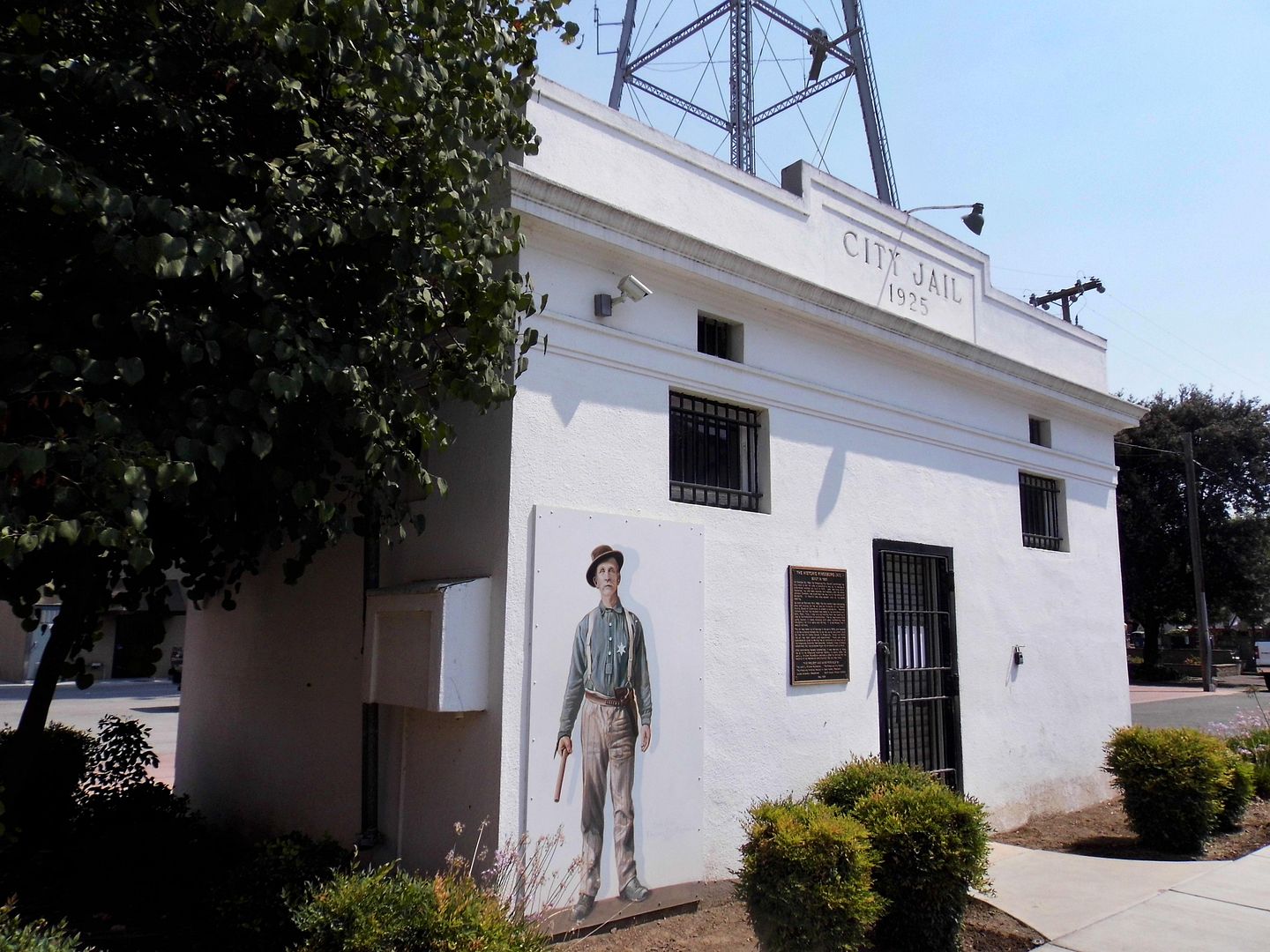


The poured, reinforced concrete box replaced a circa 1874 wooden jail—and shockingly was in active service until the early 1970s! After that, it temporarily became storage for police evidence. 
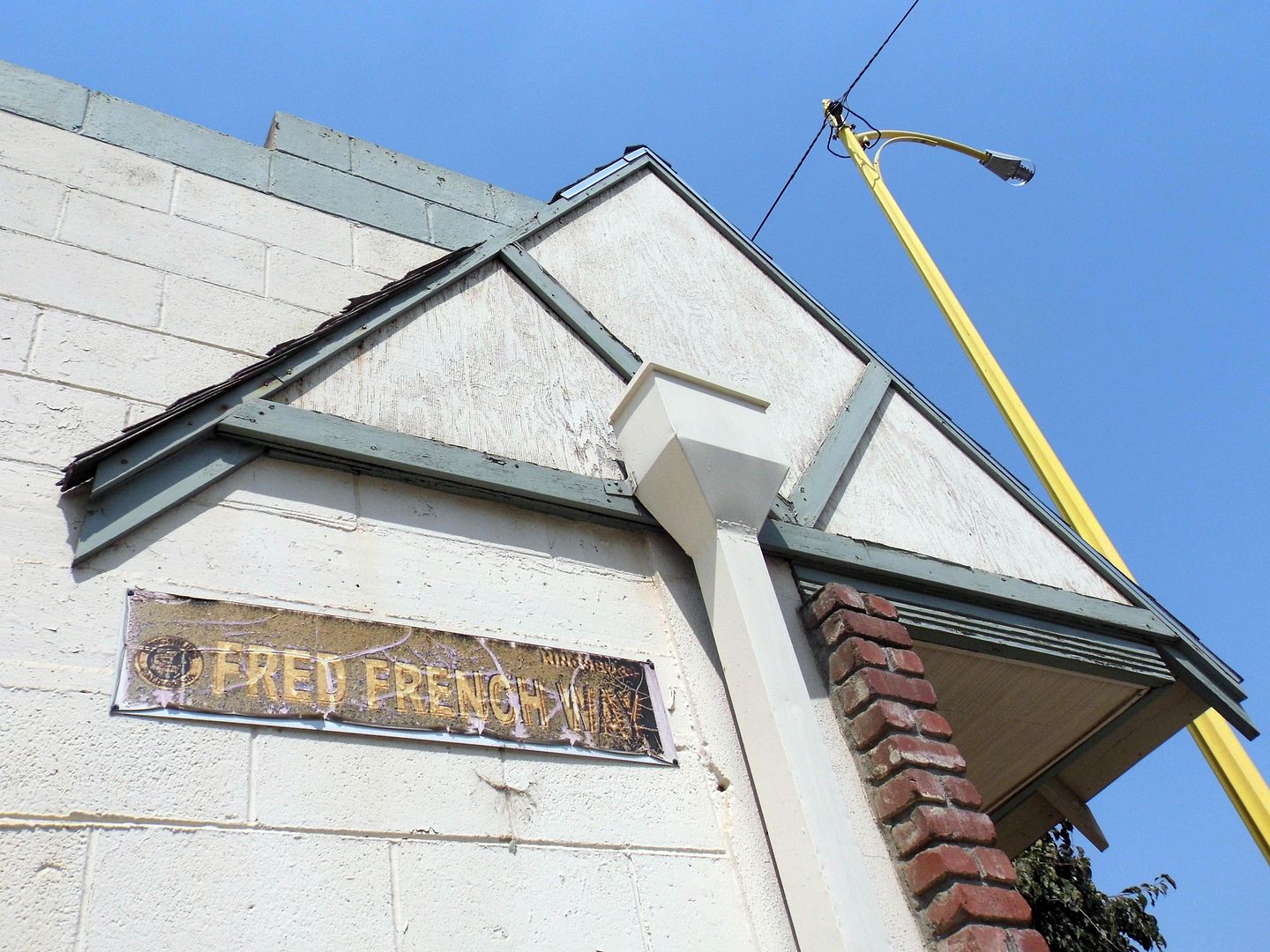


It's also located adjacent to the Kingsburg Historical Society's Walk of Fame, which honors some of the town's fallen heroes—like Constable George Boyle, who succumbed to gunshot wounds while pursuing escaped prisoners, and Deputy Night Watchman Fred French, who was shot in the head by a drunk and disorderly patron of the pool hall who'd been released and sent home. 
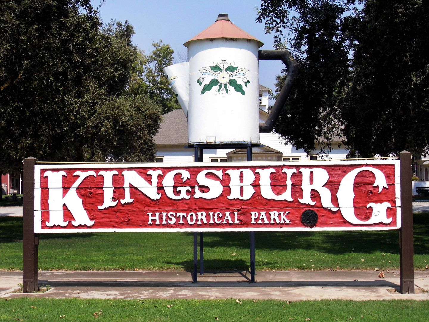


There's a mini coffee pot, too—planted on top of the sign for the Kingsburg Historical Park, which features vintage farm equipment, artifacts from Del Monte peach cannery (which closed in 2012), and the relocated Clay School Building (built 1913, arrived 1975 as the park's first building), the Olson/Ball House (built by carpenter Peter Olson in 1908, arrived 1981), and Riverbend Church (built 1911, relocated 2016). 
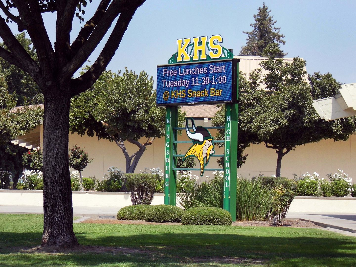


There is, however, one aspect of Swedish history that's earned a prominent place in Kingsburg as well—and that's thew Vikings. 
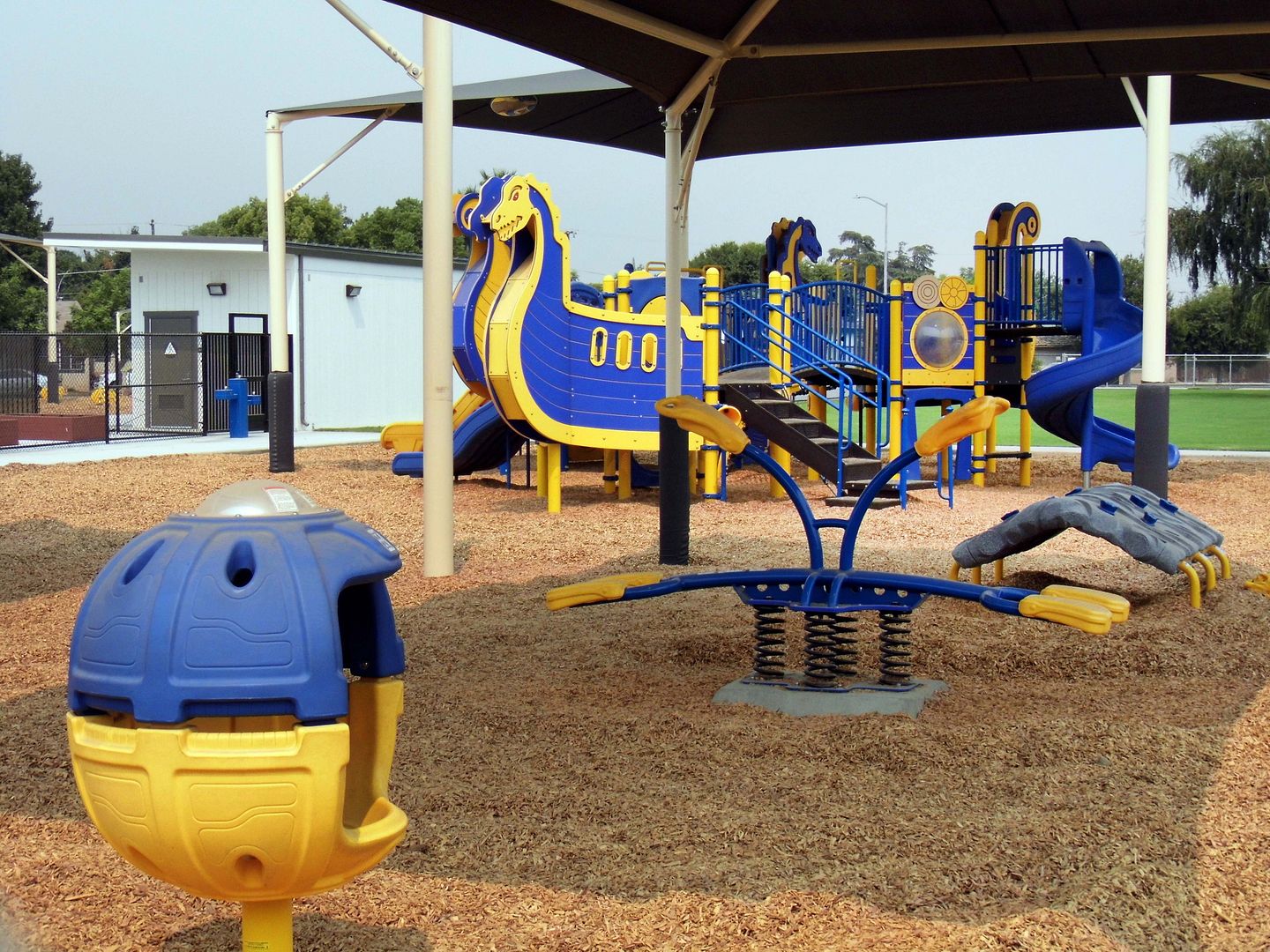


Not only does a Viking serve as the mascot for the local schools, but the town's central playground has taken the form of a Viking longship—in the gold and blue colors of the Swedish flag. 
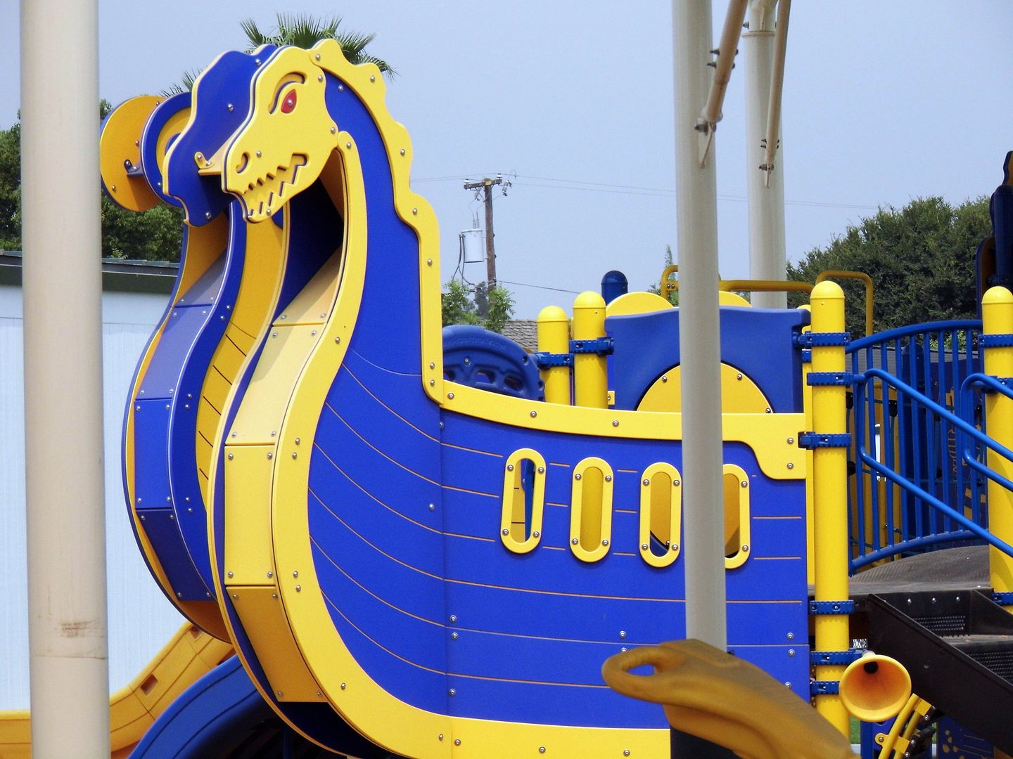


And like the dragonships or drakeskips of the Viking era (say, the 8th through 13th centuries), this playground version features a dragon (or drakkar/drakar) head mounted on the ship's bow to protect her and her crew at sea. 
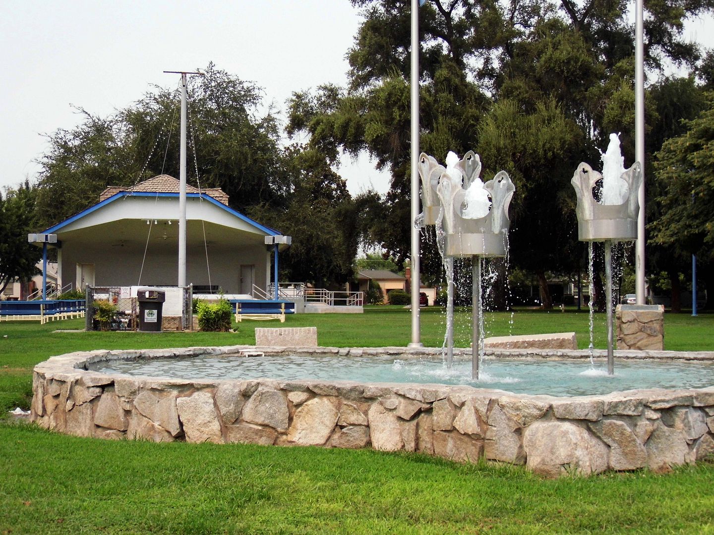


For all the Swedish immersion of Kingsburg, the town does acknowledge its home-away-from-home with its Three Crowns Fountain. In Memorial Park, a trio of metal crowns (tre kronor) represent the national emblem of Sweden (and the country's coat of arms) as they hover above a U.S.-shaped pool. 

Although I'd heard of and even visited California's Danish-themed town of Solvang, I might never have stumbled across Kingsburg had I not mentioned to some friends that I was heading up north to Fresno for Labor Day weekend. 

It's amazing when people can introduce me to something as entirely new—and captivating—as Kingsburg, after wandering through the lower half of California for over a decade now. 

And honestly, getting even a little bit of Sweden in the desert is just a magical thing. 

P.S. But it's nothing like IKEA. 

March 18, 2021

Photo Essay: A Pit Stop at Bravo Farms, Midway Between Bakersfield and Fresno

About 30 miles south of Fresno, California along historic Highway 99 is Bravo Farms in the tiny Central Valley town of Traver.
 

April 11, 2019

Photo Essay: The Forgotten Highway Between LA and Bakersfield

Before the Castaic-Tejon Route opened, there was no good way to get from LA County to Bakersfield (or back). Stagecoaches and wagons could make it, but the trek over the Tejon Pass was harrowing. And because of drainage issues, dirt roads to the north of LA often became muddied or downright flooded.


As "automobilists" (as they were called) began taking over the roadways with motorized vehicles, those dirt paths just no longer cut it—and they began to complain.


The solution offered by the newly-formed State Bureau of Highways? Carve out a road, high up along a mountain ridge to keep the puddles away (not taking into account the snowpack of the harsh winter seasons), by using horse- and mule drawn-scrapers and grader.


German Point in background

Today, a very civilized, paved portion of the old "Ridge Route" runs alongside the 5 Freeway—its eventual replacement—in Gorman, a common pit stop for travelers needing to fill or empty their tanks.


Since renamed Gorman Post Road, it passes the former sites of the Gorman Inn, the first store in Gorman, and the home of Oscar and Mary Ralphs (brother and sister-in-law of the grocery store chain founder).


You can even see some original curbs along the road shoulder, some dated 1924 (although the Ridge Route's first iteration actually opened in 1915). In the beginning, the Ridge Route was so narrow that some joked it was just one long sidewalk.


Today's Gorman Post Road is also where a lot of the construction camps were set up for the workers who first put down the gravel and oil road bed—and would later lay reinforcing rods and tamp the wet concrete down (circa 1919).


Between the construction works and the travelers, there was plenty of business for the free water given away at German Station, as well as the goods for sale at Caswell's Road Stop, the services provided by mechanics, and the gas pumped at Holland Station #1.


But like many of those early roads, it quickly became obsolete. The two-lane engineering feat of the Old Ridge Route was bypassed in 1933 by a straightened, three-lane alternate (with a center "suicide lane" for passing) that became Highway 99.


Even Highway 99—which shortened the journey by nearly 10 miles—gave way (mostly) to the eight-lane 5 Freeway, which began construction in 1963 and opened in 1970. Though the Ridge Route was abandoned, it wasn't erased.


In fact, at the southeastern terminus of Gorman Post Road, west of where Quail Lake reservoir is now and in the general vicinity of the former Bailey Ranch, you can actually drive on a flat, well-preserved stretch of the Ridge Route. It just doesn't go anywhere.


To follow the original path of the Ridge Route, you've got to get off of Gorman Post Road and turn left onto Lancaster Road (a.k.a. Hwy 138) and drive 2.5 miles to the signed juncture with Old Ridge Route Road.


That's where the old route finally begins to climb the ridge, looking down over the former General Petroleum (later Mobil) pumping plant and Pacific Telephone and Telegraph Relay Station. This is the future site of Centennial, California—a master-planned community on land owned by Tejon Ranch—in the westernmost portion of the Antelope Valley.


It's actually not that easy to follow the entirety of the Old Ridge Route because, like Route 66, its alignment did change—and portions of it were even buried with the construction of the California Aqueduct.


But a stretch of this "miracle of modern engineering" that runs through Angeles National Forest is both drivable and maintained.


It's a fun destination for vehicular tourism...


...but it also provides access to some recreational and historic sites (as well as campgrounds).


In fact, the most famous stop between LA and Bakersfield was a midpoint waystation known as Sandberg, whose lampposts across the street beckoned travelers (no truckers or dogs allowed) to stop at its Summit Hotel, located near the peak of the Ridge Route at 4100 feet of elevation. (The streetlights' concrete footers still stick out of the hillside.)


Sandberg's Summit Hotel—which was later sold and rebranded The Sandberg Lodge—was set to reopen in 1961 as a children's camp when it burned to the ground. Nothing has ever been built in its place.


And that's where the Ridge Route really starts to get interesting.


Although the county no longer maintains the road, you can still drive on it—at least, until you hit a locked gate.


This is also where you get a good feel for a few of the route's 697 curves that you could really only take safely at 15 mph in a car.


And even so, some of these stretches have since been widened, their hairpin turns more gentle, with even some blacktop that was added later (though now crumbling, revealing the original concrete in astonishingly better condition).


As you round Horseshoe Bend, with Liebre Mountain in the distance and the ghosts of the former Liebre Construction Camp as your guides...


...you've got to swerve and snake your way past the rockslides that nobody has cleared, trying not to drive off a cliff as you take in the scenery.


Up there, long-gone guard rails would save some careless drivers—sometimes.


The big payoff for your drive are the ruins of the Tumble Inn (later, the Mountainview Lodge).


Although the landmark arch is some rebuilt version of the original, the edifice of native stones still marks a nice turnaround point.


If the road south of the Tumble Inn is open, you can take it past the site of the former Kelly's Halfway in, and all the way down to Castaic. But when you get there, you might find the gate at the other end closed, forcing you to make a two-hour drive back the way you came.


By 2005, the road had suffered so many rockslides and washouts that it's been officially closed—but sometimes the gate is open. (And even when you can't drive on it, you can walk/hike on it.)


I'm banking on it being open the next time I come to the area, so I can see the rest of it (as well as any sections north of Gorman that are still open).


Photo: Circa 1922, Automobile Club of Southern California collection, USC Libraries (Public Domain, via Wikimedia Commons)

Stay tuned for dispatches from my visit to the Ridge Road Communities Museum and Historical Society. 

Related Posts:
Photo Essay: Hiking Old San Francisquito Canyon Road, Along the Path of the St. Francis Dam Flood
Photo Essay: The Road That Google Maps Forgot, Old Hwy 62

February 22, 2022

Photo Essay: A Hot Time at the Date Orchard, Where Sex and God Collide

When I first started spending time in the Palm Springs area in 2009, I took a tour of Oasis Date Gardens—and I thought that was enough. 


I didn't realize how absolutely baffling and curious the nearby Shields Date Garden was.