
"What was it?" they asked.
"I'm not sure, so I guess I'll find out!"
Turns out, I'd been to that location before—with the Old Spanish Trail Association, back in 2017, to visit the Santa Fe and Salt Lake Trail Monument that's also located on Wagon Train Road, along the Cajon Pass section of the 15 Freeway.
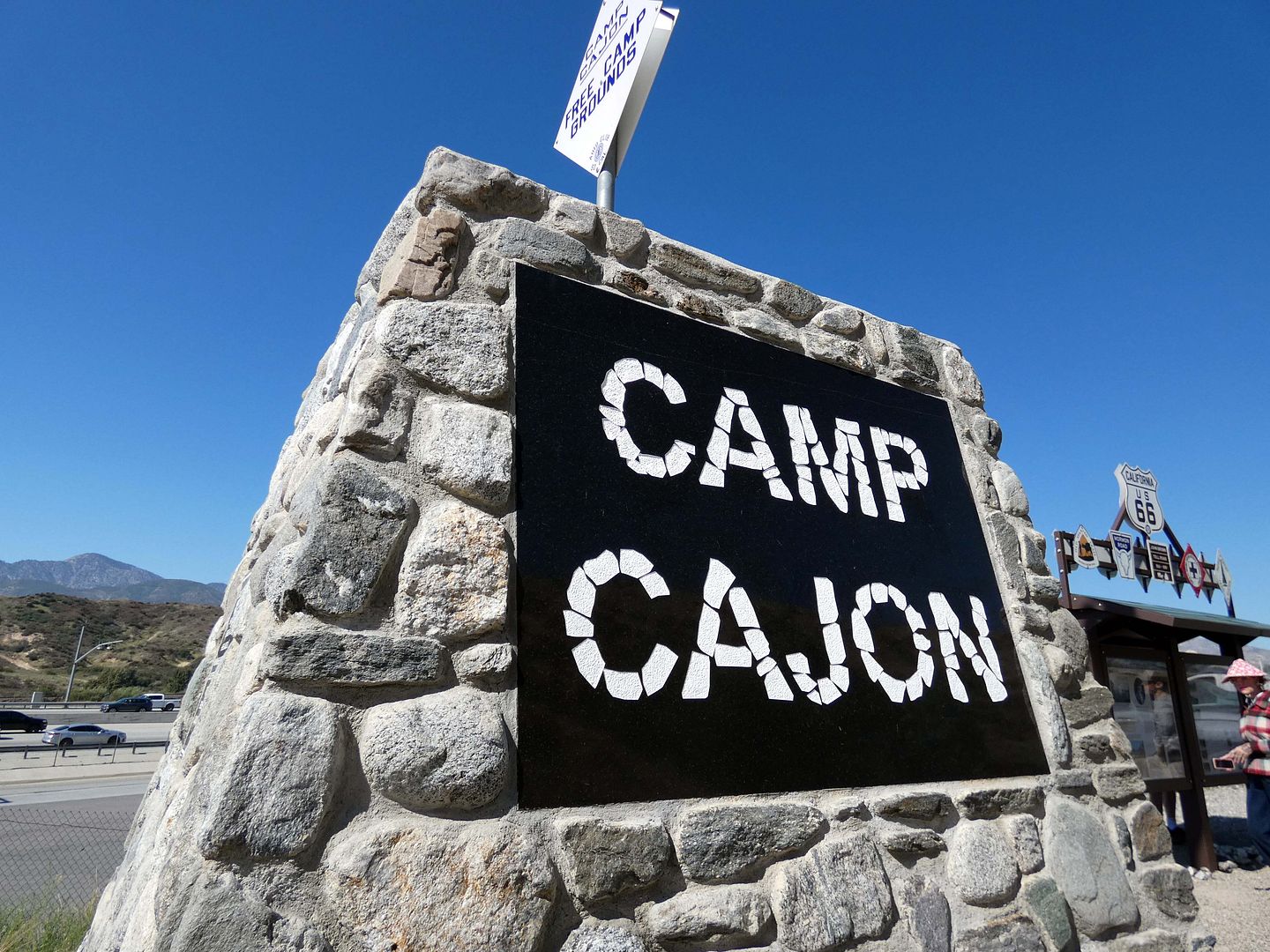
But back then, there was nothing marking the existence of something called "Camp Cajon"—so I'd had no idea just how historic this area was.
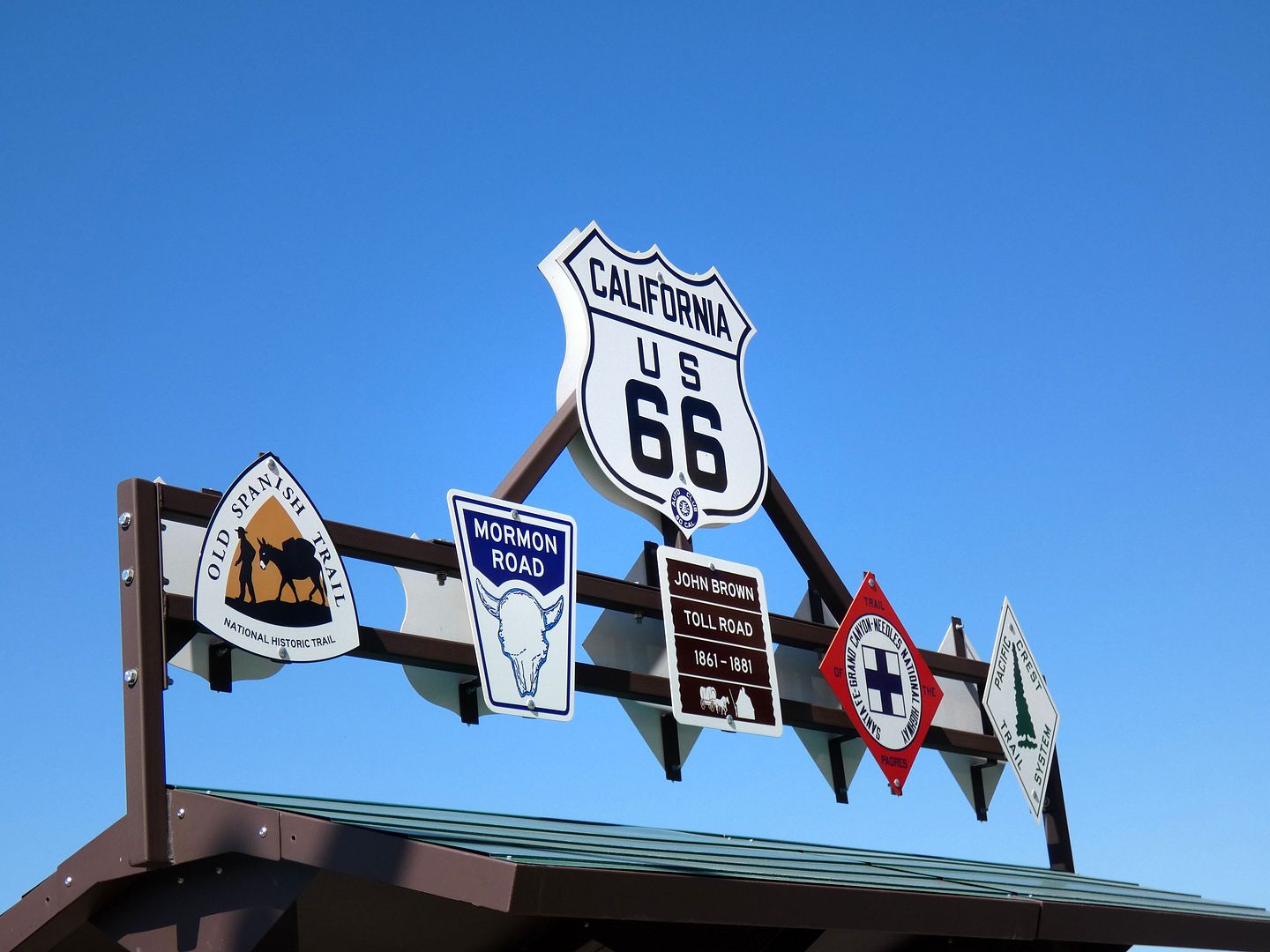
Or how many "trails" had converged here—not just the Spanish Trail, but also the Mormon Trail, the National Trails Highway/National Old Trails Road (a.k.a. the "Ocean to Ocean Highway"), the John Brown Toll Road, the Santa Fe Grand Canyon Needles National Highway, and the one trail that remains, the Pacific Crest Trail (which connects Canada to Mexico through California).
The stone monument—built at an elevation of 3002 feet and bearing plaques with quotations about friendship and love of nature—was erected (alongside other historical signage and interpretive displays) by a group of volunteers in 2019 (two years after my visit) upon the centennial of Camp Cajon.
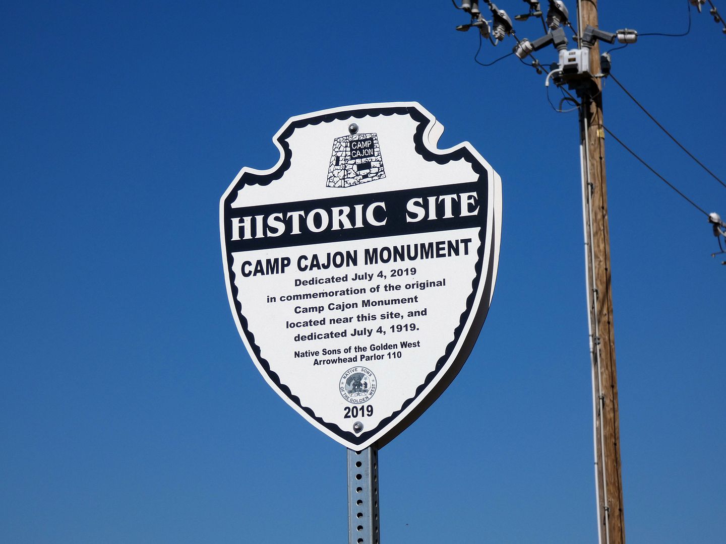
It's now located pretty close to where the old flag column/entrance monument (now long gone) used to stand.
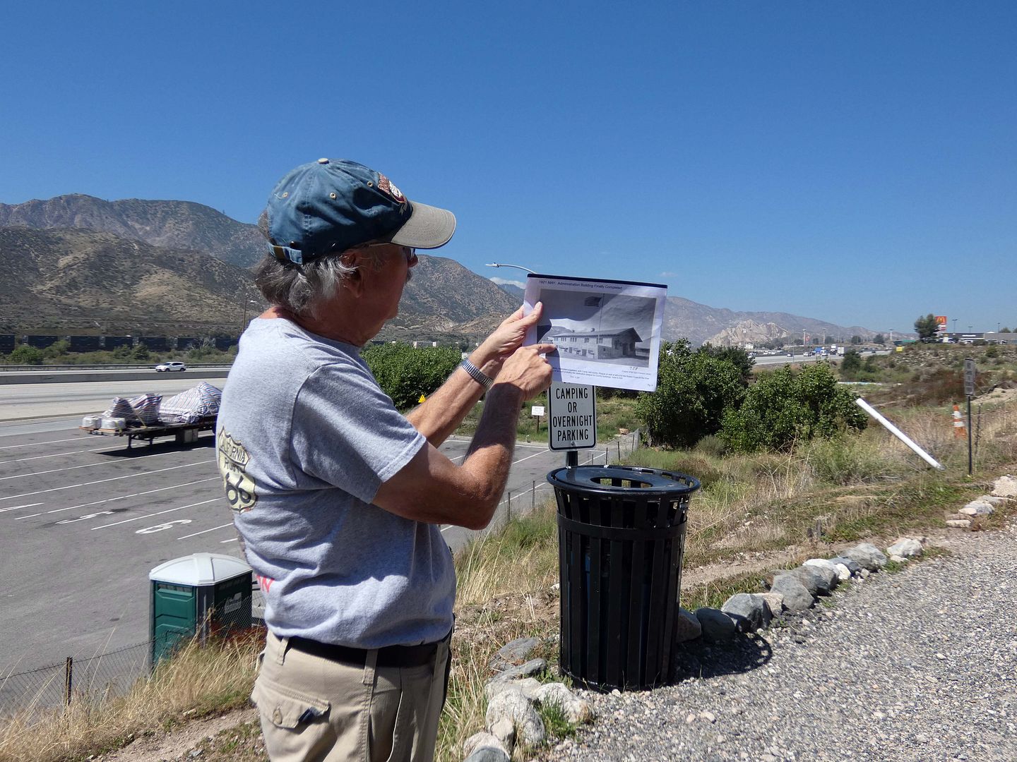
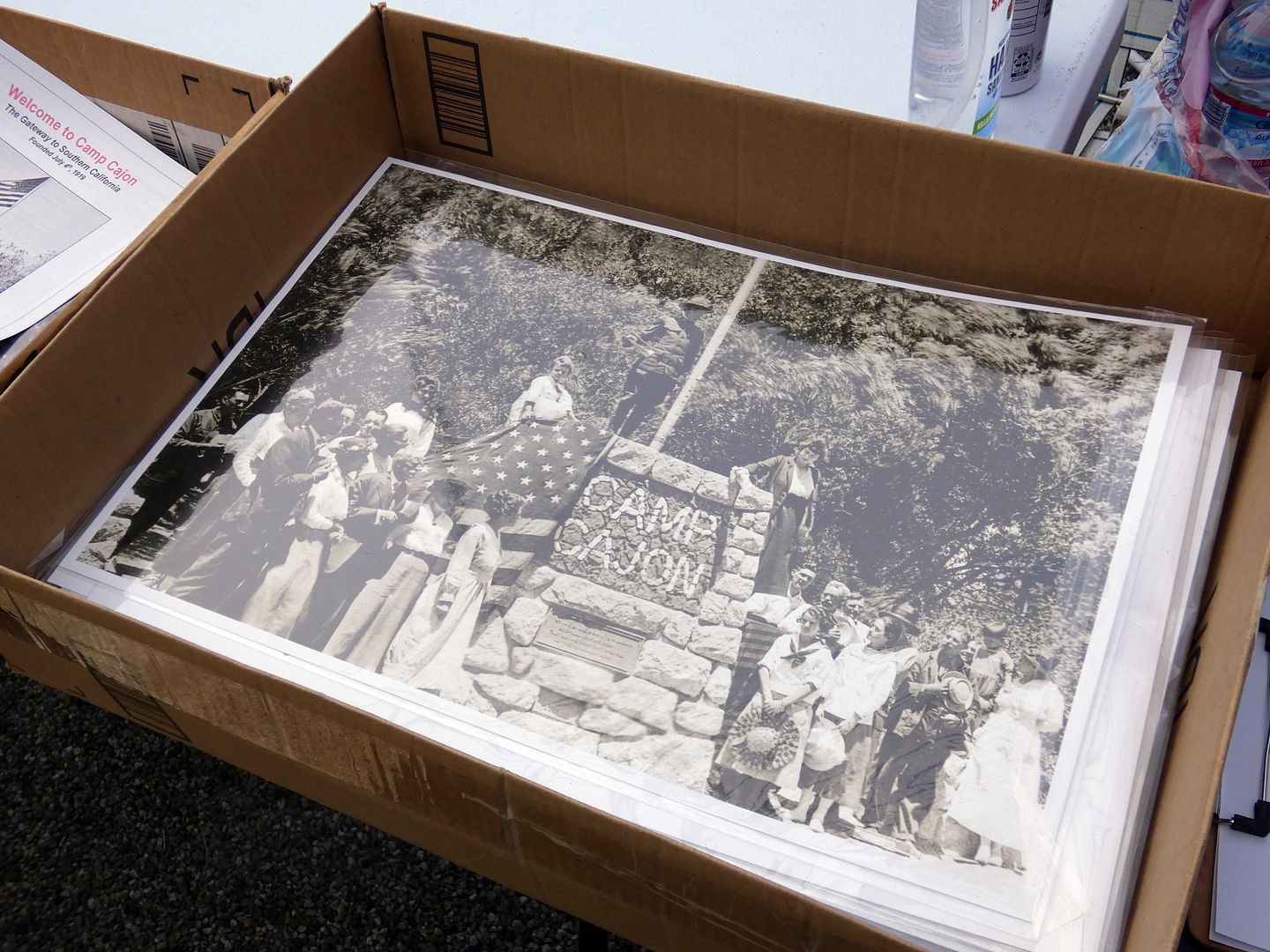
On our tour, a number of historical photos helped us see what the layout of Camp Cajon used to be when it served as an "auto camp," a kind of roadside stop for motorists looking to rest, barbecue, picnic, camp overnight, or just gather with their fellow man...
...including an administration building (with a store and post office), a garage/car repair, dining chalets, and outposts for groups like the Elks and the Knights of Pythias.
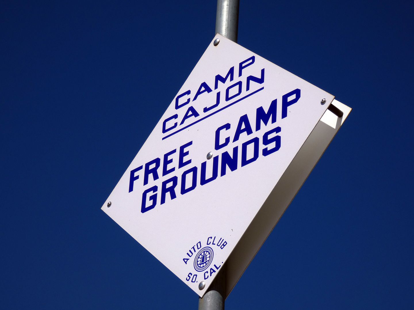
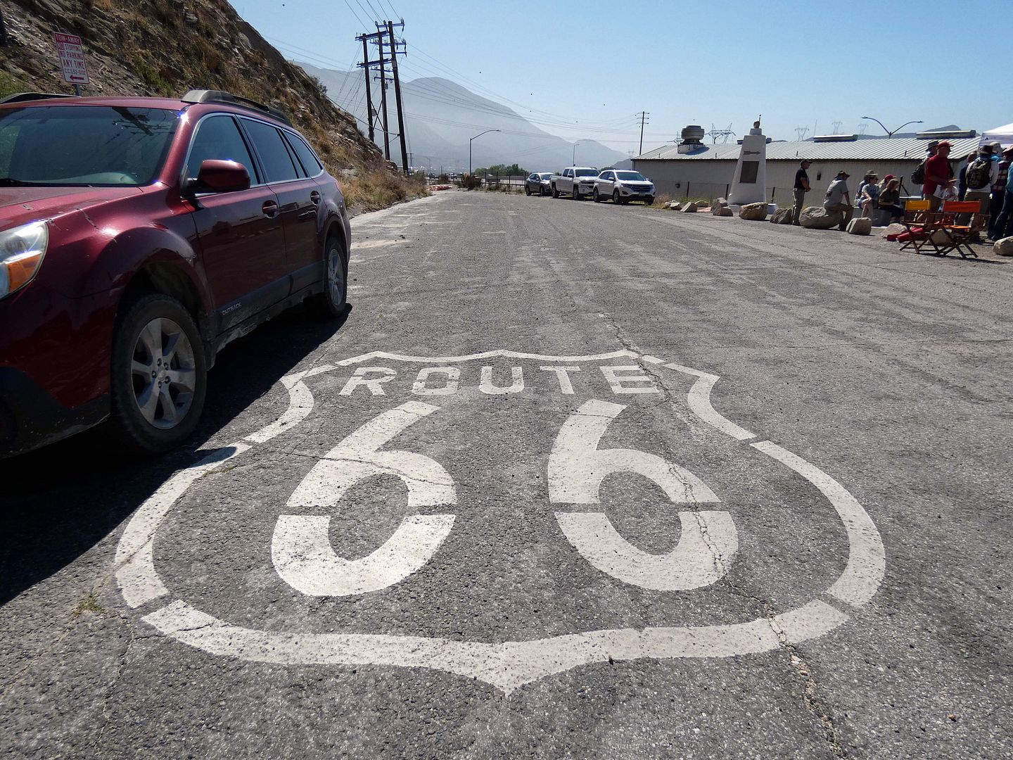
The camp earned a reputation as the "Gateway to Southern California" by the time that the National Old Trails Highway had been declared Route 66 in 1926—but in 1938, all of it was badly damaged in "The Great Flood." County and road officials then decided widening Route 66 was more important than rebuilding the camp, and so they dismantled and abandoned it.
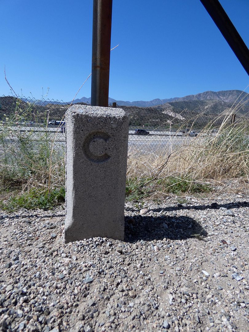
Thankfully, the present-day Cajon Camp volunteers have brought in a couple of artifacts to give the feeling of what once was, including an original Route 66 concrete survey marker ("C-marker")...
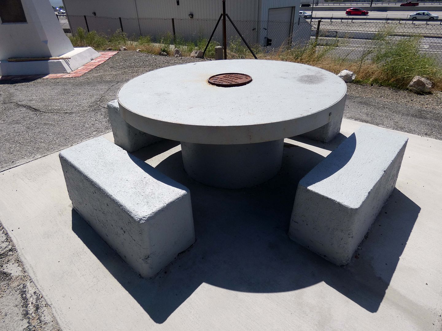
...and an original concrete picnic table, which had been relocated from Camp Cajon to Lytle Creek Park in San Bernardino around 1940 and returned to the Cajon Pass in June 2021.
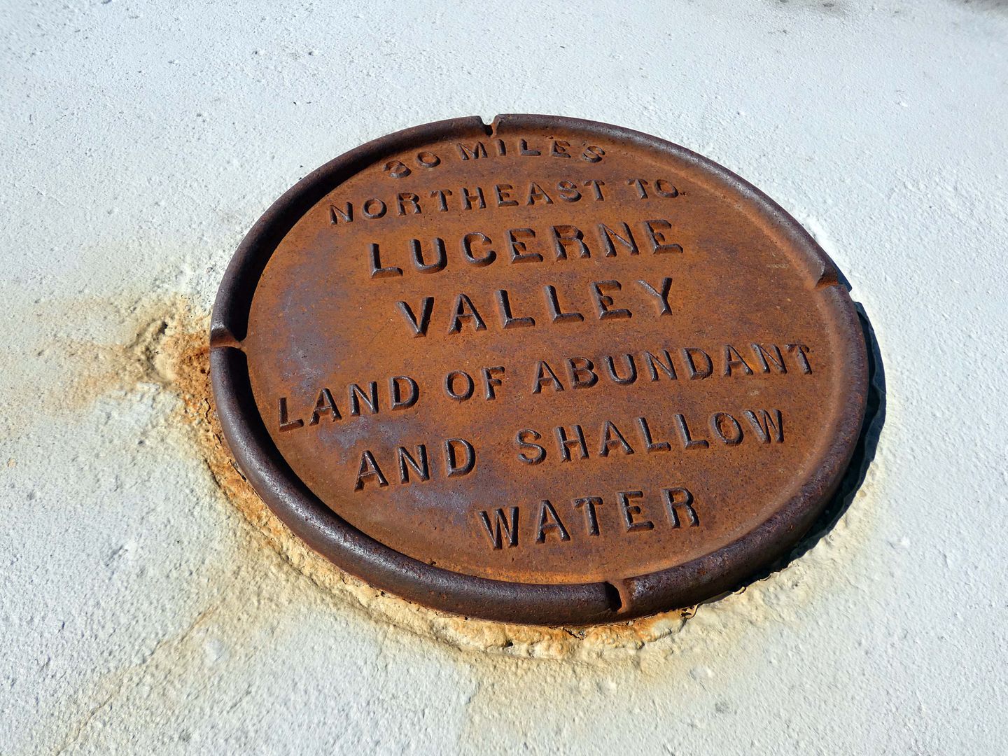
In the days of the original Camp Cajon, each of these picnic tables had a (sponsored) cast iron plaque marking a different geographic area and were laid out in a kind of "map" configuration. This particular table indicated that you'd have to travel 30 miles northeast from that spot to reach the community of Lucerne Valley—"Land of Abundant and Shallow Water."
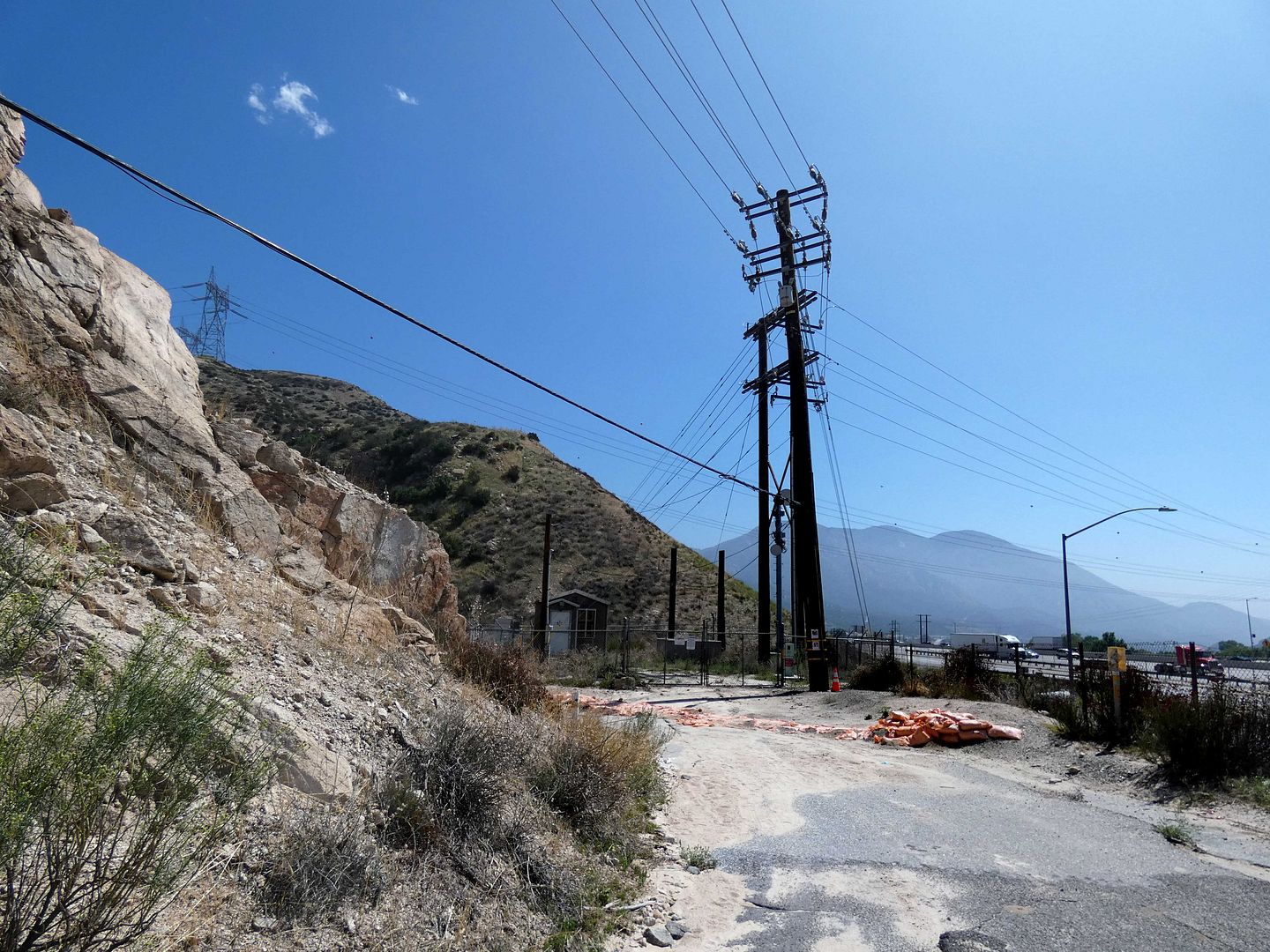
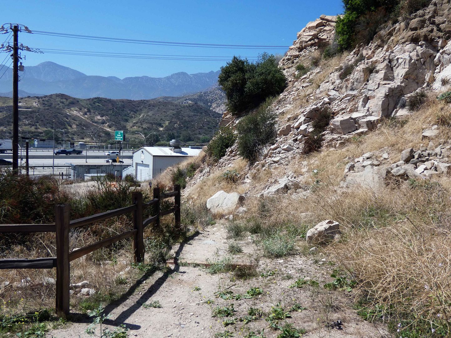
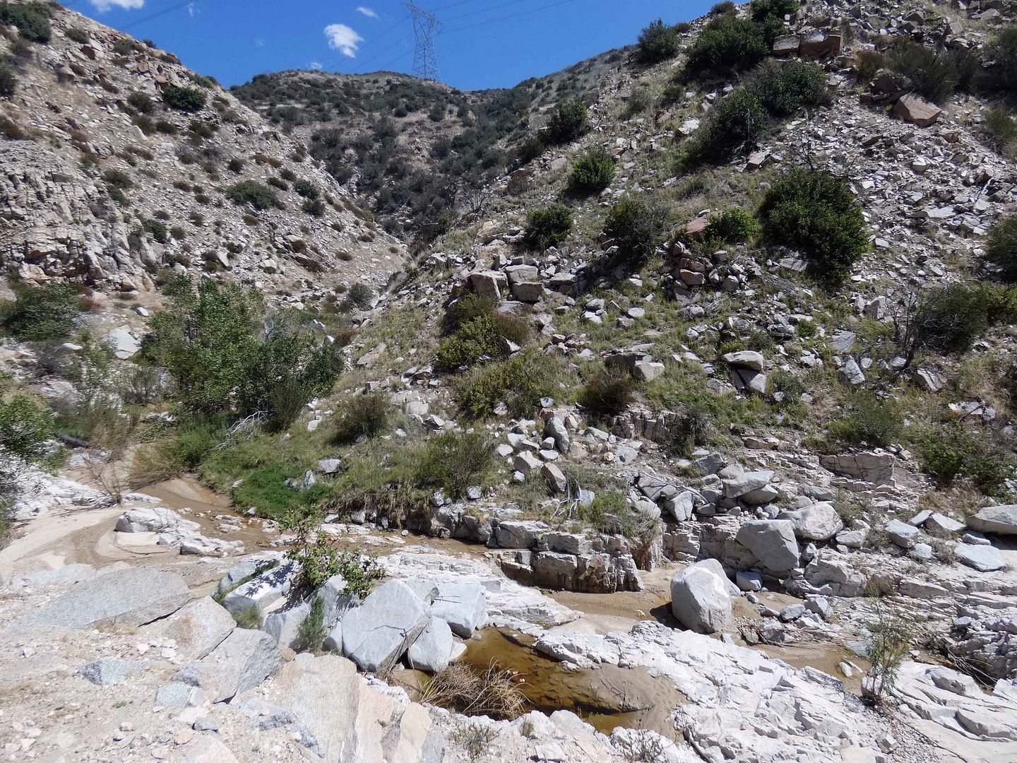
At the end of Wagon Train Road, heading into Crowder Canyon (formerly known as Coyote Canyon), you reach the end of the line for motorized vehicles...
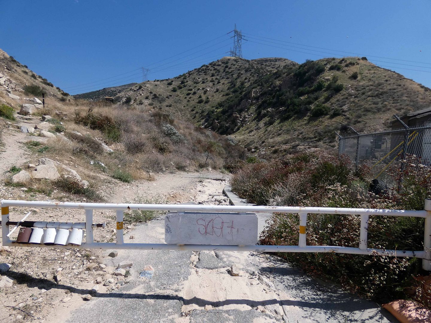
...but you can continue on foot...
...either down an old crumbly road that leads down into the gorge where a sometimes-dry creekbed travels under the 15 Freeway and onto the PCT's California Section D (the same path as the former Salt Lake trail)...
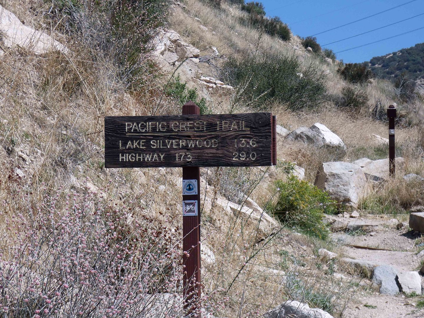
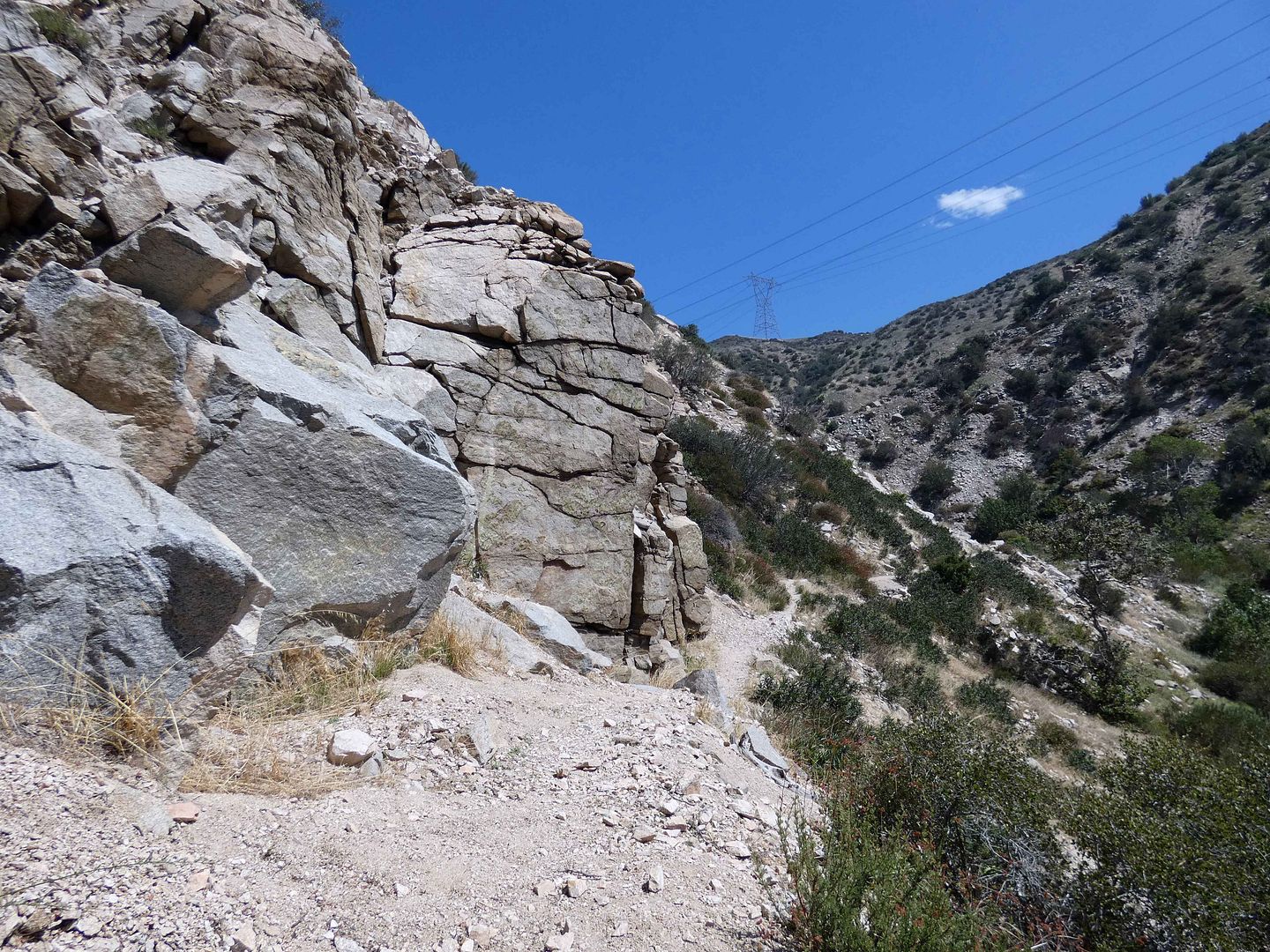
...or up onto California Section C of the PCT, which unbelievably used to be open to vehicles (at least, wagons, horse carts, and buggies) as part of the 1860s-era John Brown Toll Road.
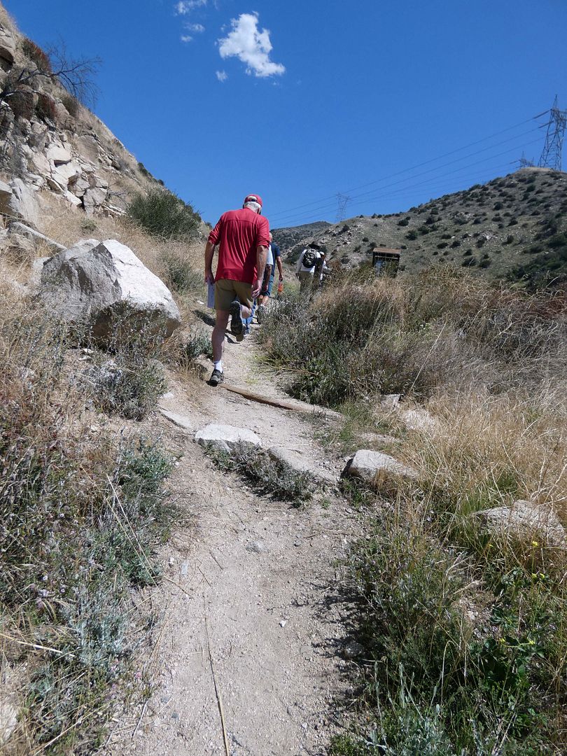
Casual hikers can head up that way to enjoy nature and see some ruins...
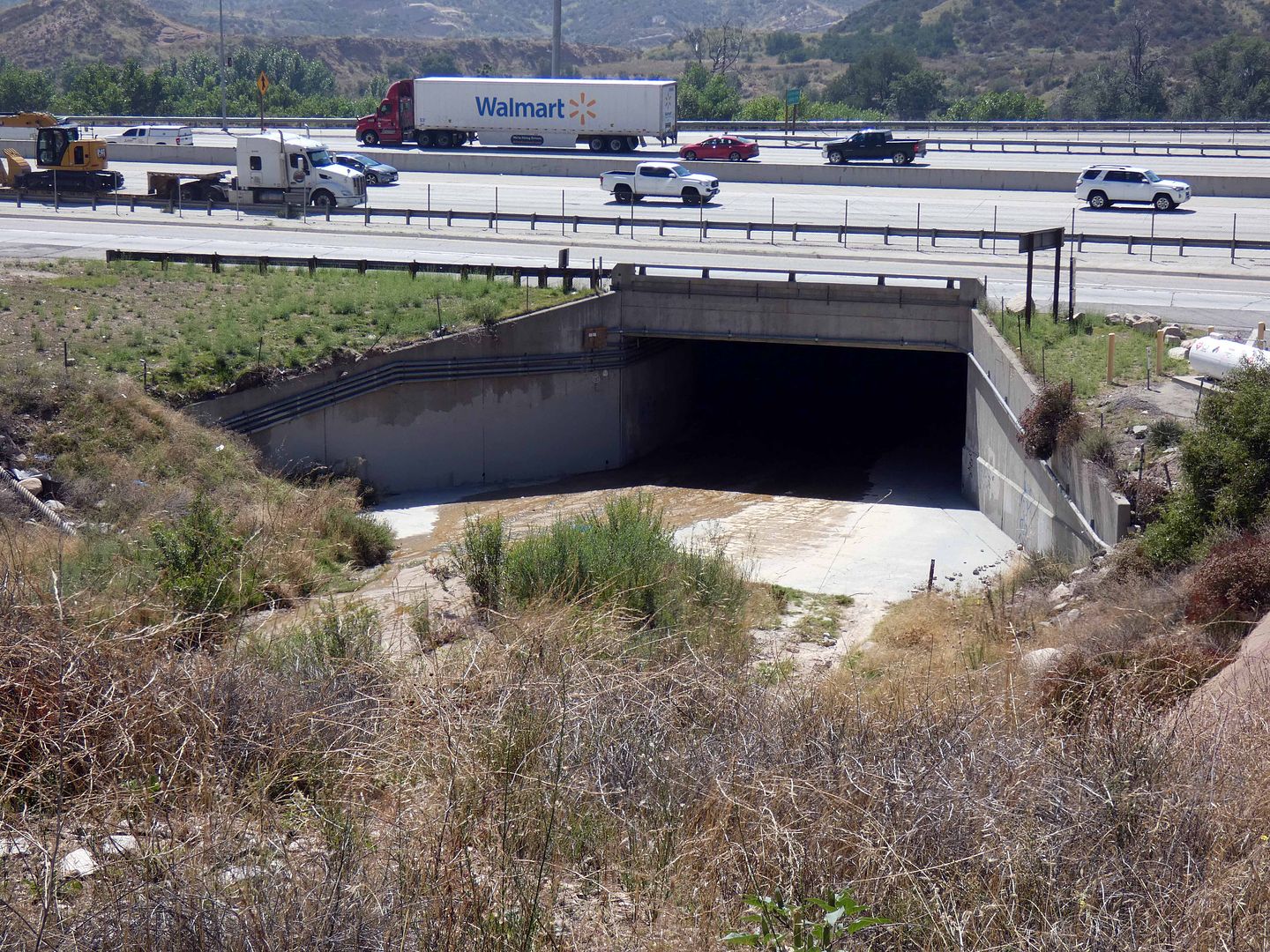
...but thru-hikers would be coming from the other way (because of timing with the weather and seasons), greeted with the choice to keep going under the freeway...
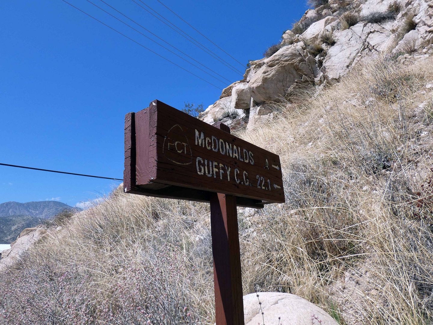
...or stop for some fries and a potty break at the local McDonald's.
It's rugged enough just walking through here—so it's hard to imagine driving any part of this route.
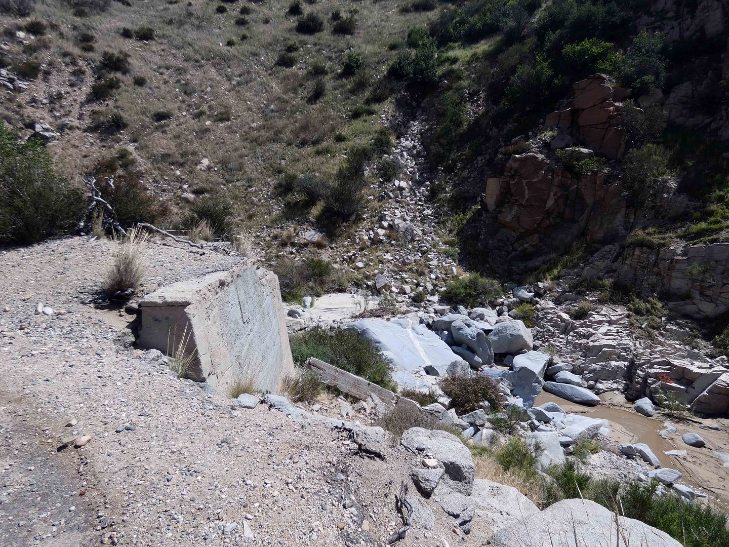
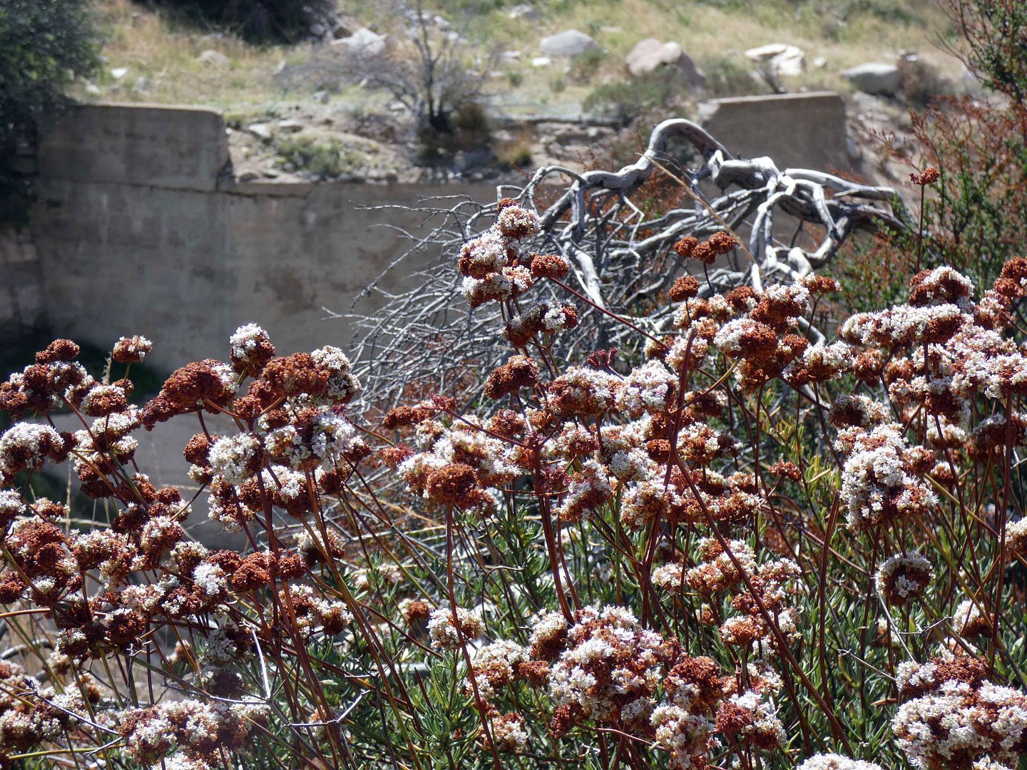
But there are signs of what used to be the Old Pioneer Road and Bridge...
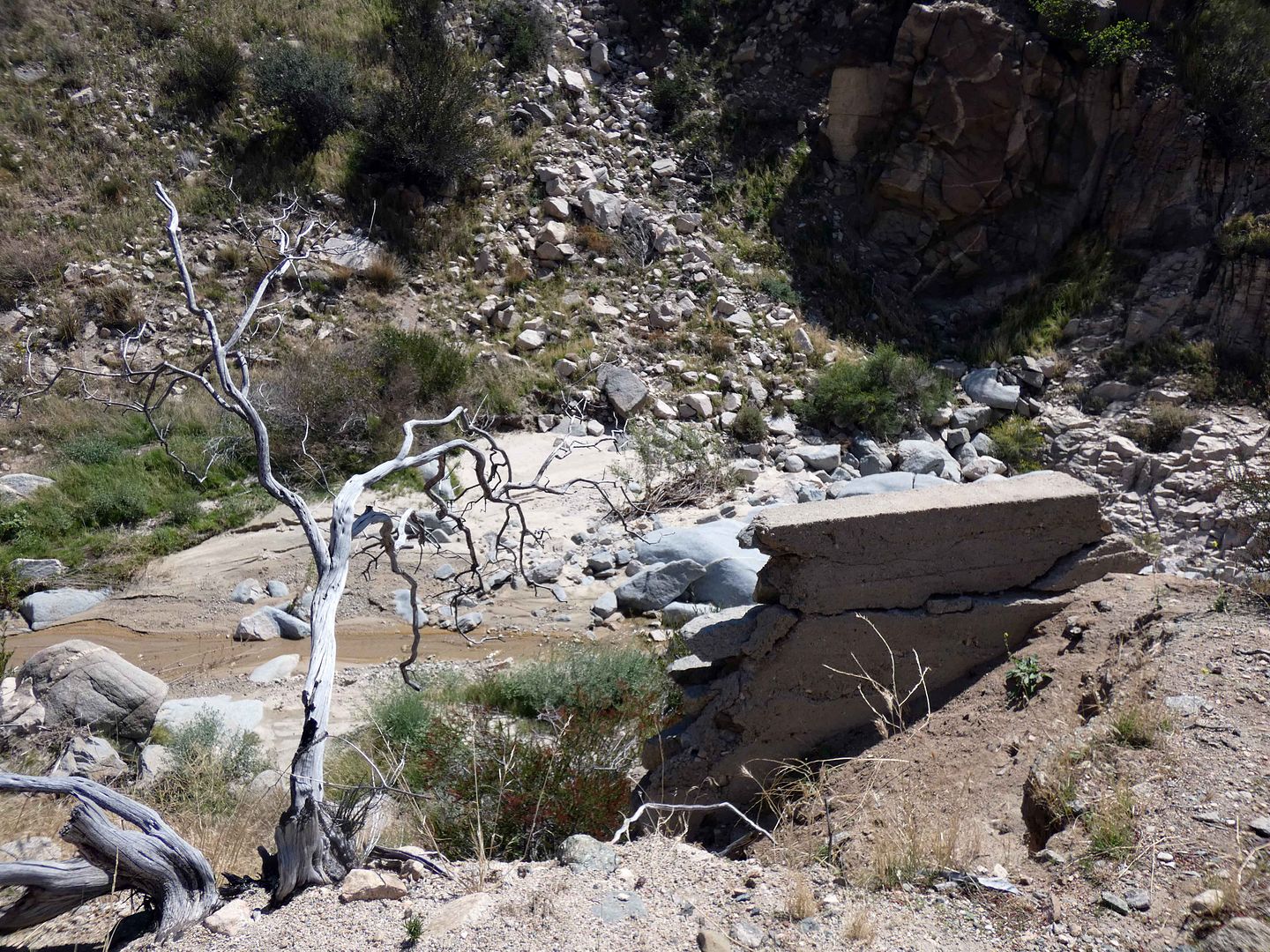
...built in 1914 to help drivers cross the stream.
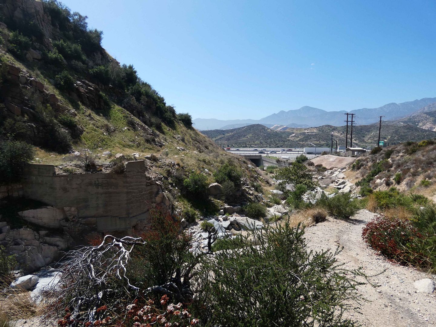
The crossing itself has disappeared, and now the bridge's southern abutment stands disembodied across the way.
Between erosion, debris deposits, and the way that nature shifts the land over time, it's hard to tell where there was ever any kind of a road on the other side.
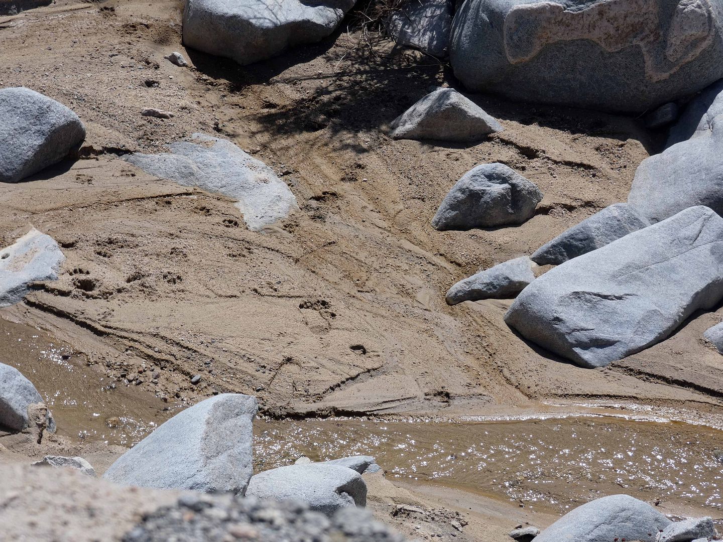
And nowadays, you're much more likely to find shoe prints or bear tracks in the streambed than wagon wheel or tire tracks.
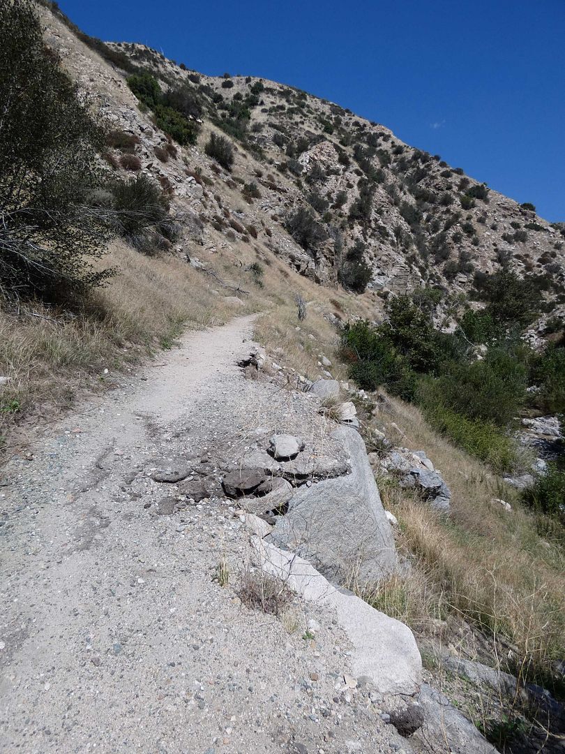
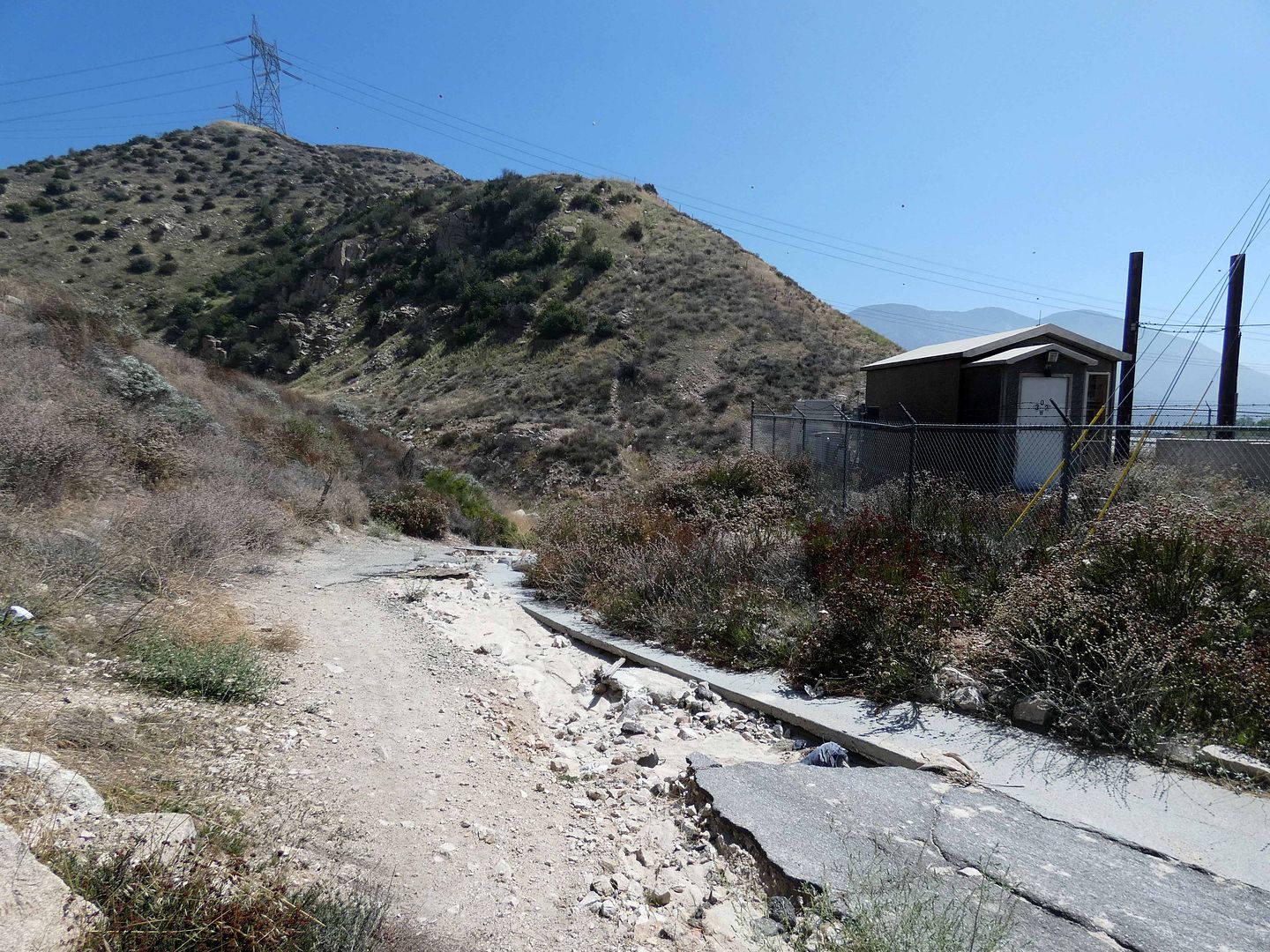
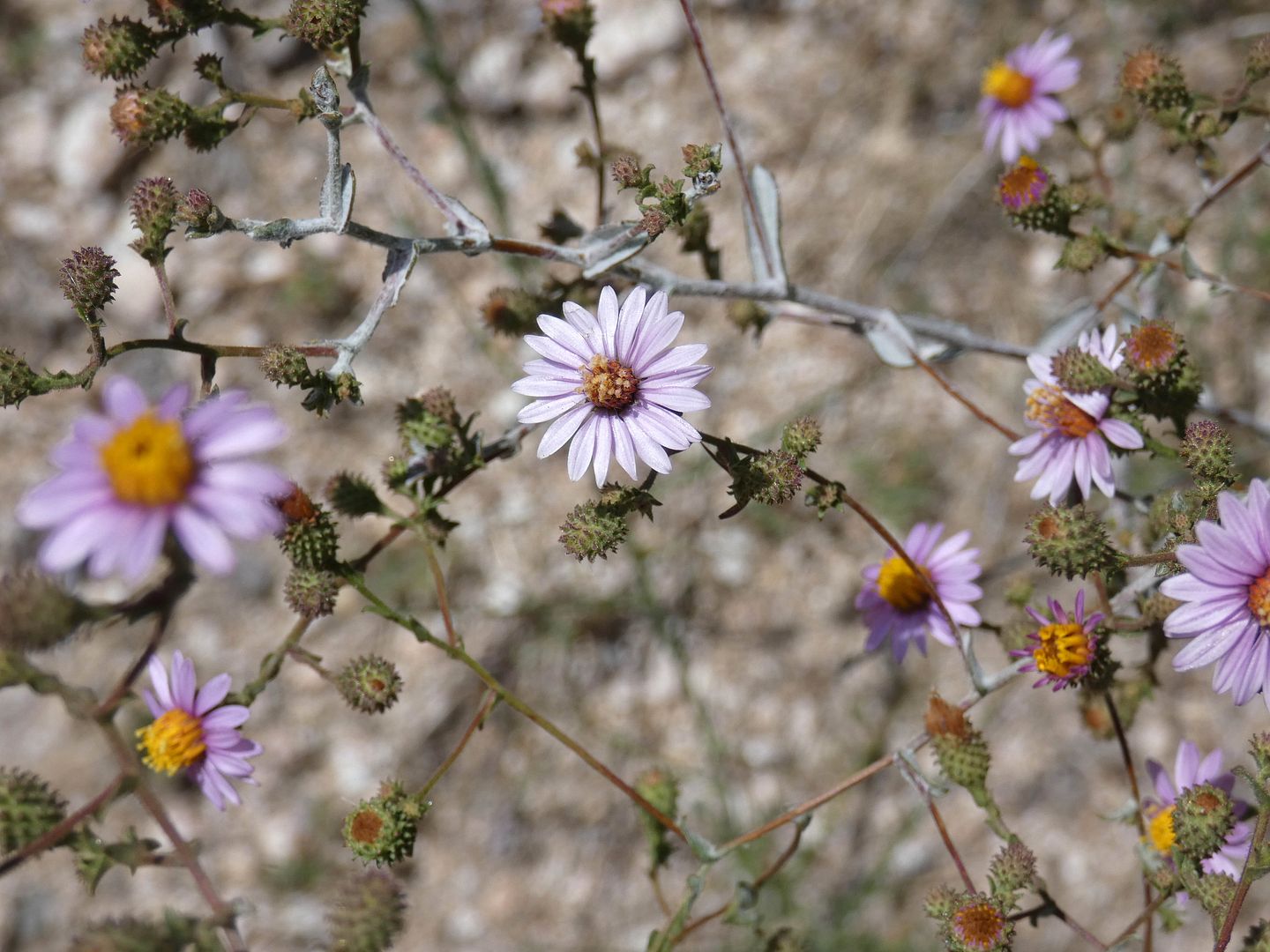
We continued our walk a little farther, spotting some old asphalt between miles 341 and 342 of the PCT.
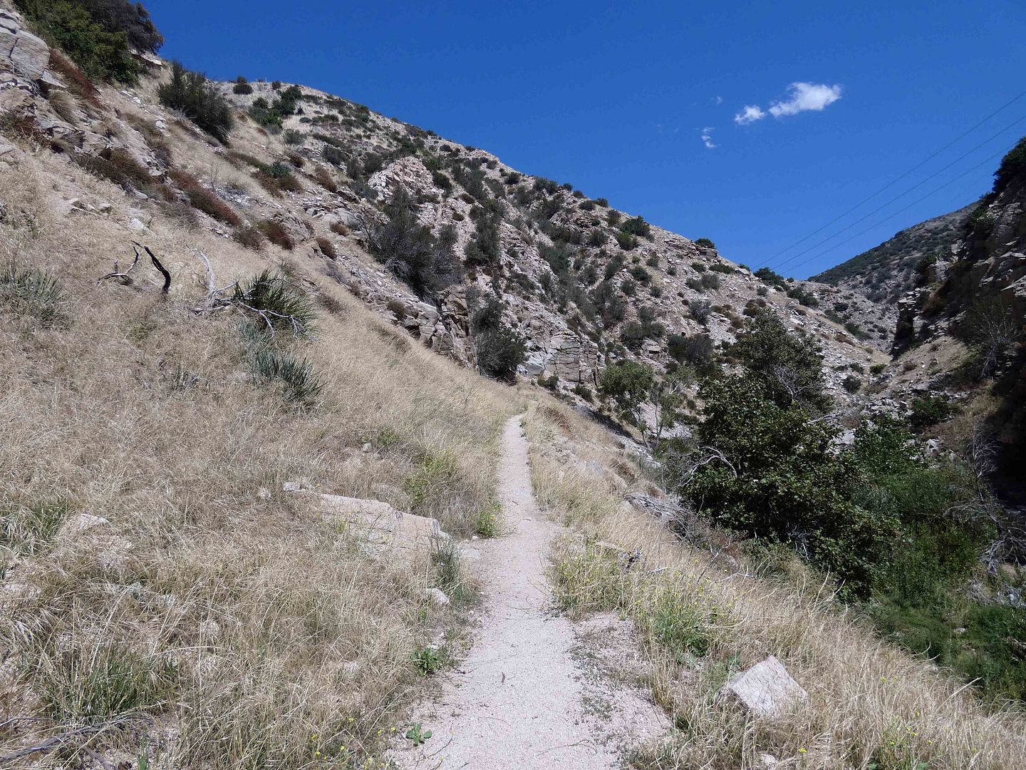
What was once the National Old Trails Road, just wide enough for one Model T, is now a single-track hiking trail...
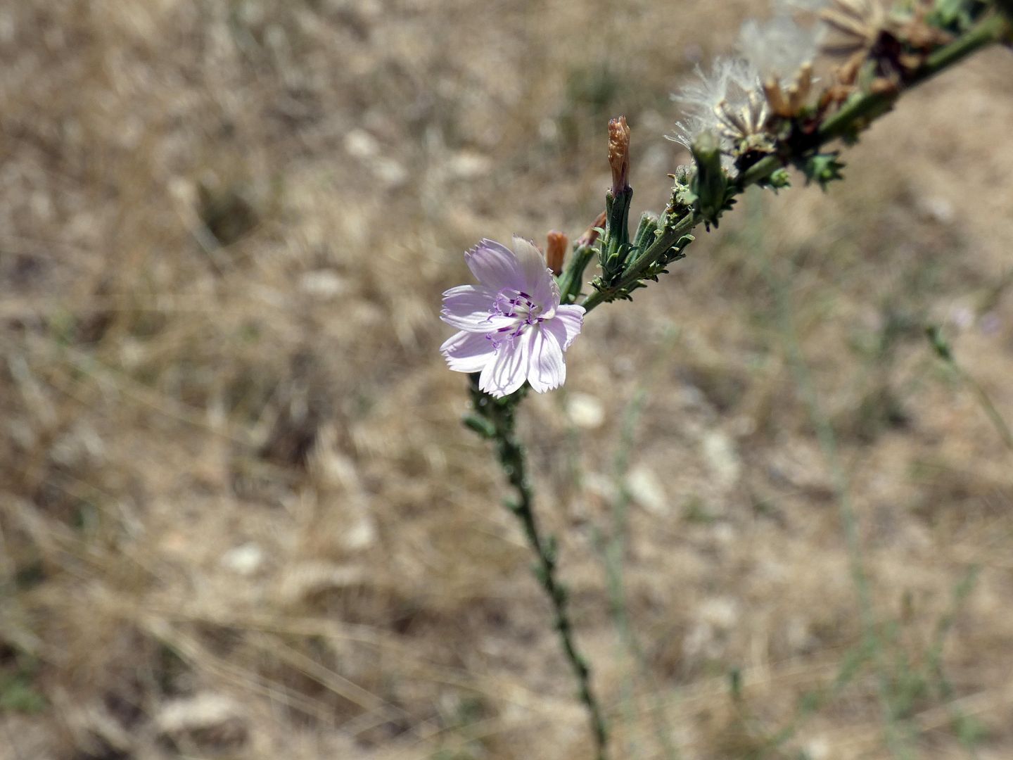
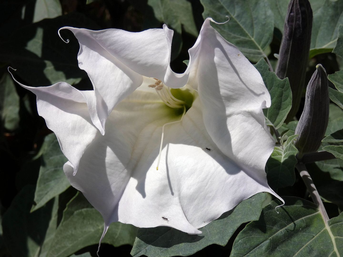
...where wildflowers were blooming in the late summer...
...and some curves were even a little too hairpin for pedestrians to feel safe navigating.
There's so much natural beauty there now—probably much like it was when Camp Cajon founder William M. Bristol came across the area and decided to create a place where motorists could seek respite, particularly after having made the difficult trek across the Mojave Desert.
Bristol himself was a stone mason—which explains the architectural style of the chalets and outposts, fabricated from rough-hewn rock (much like the replacement monument is today).
I've focused this post on what can be seen there now—but for lots more history and historical images, visit the Camp Cajon Facebook page, an incredible resource of maps, clippings, and stories.
No comments:
Post a Comment