
I'm a completionist. So of course I've been tracking how many of California's Channel Islands I've been to—and how many I can eventually get to.
I've already been to Catalina, Santa Rosa, Anacapa, Santa Cruz, and San Nicolas. (Santa Barbara is closed until they can fix the anchorage, and San Clemente is off-limits as a Navy station.)
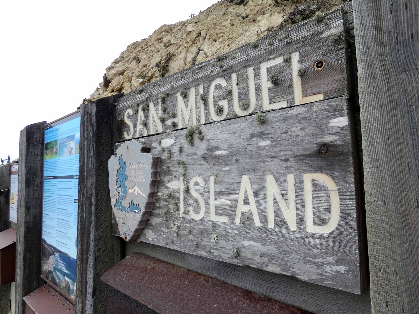
And as of last weekend, I've crossed yet another off my list: San Miguel. 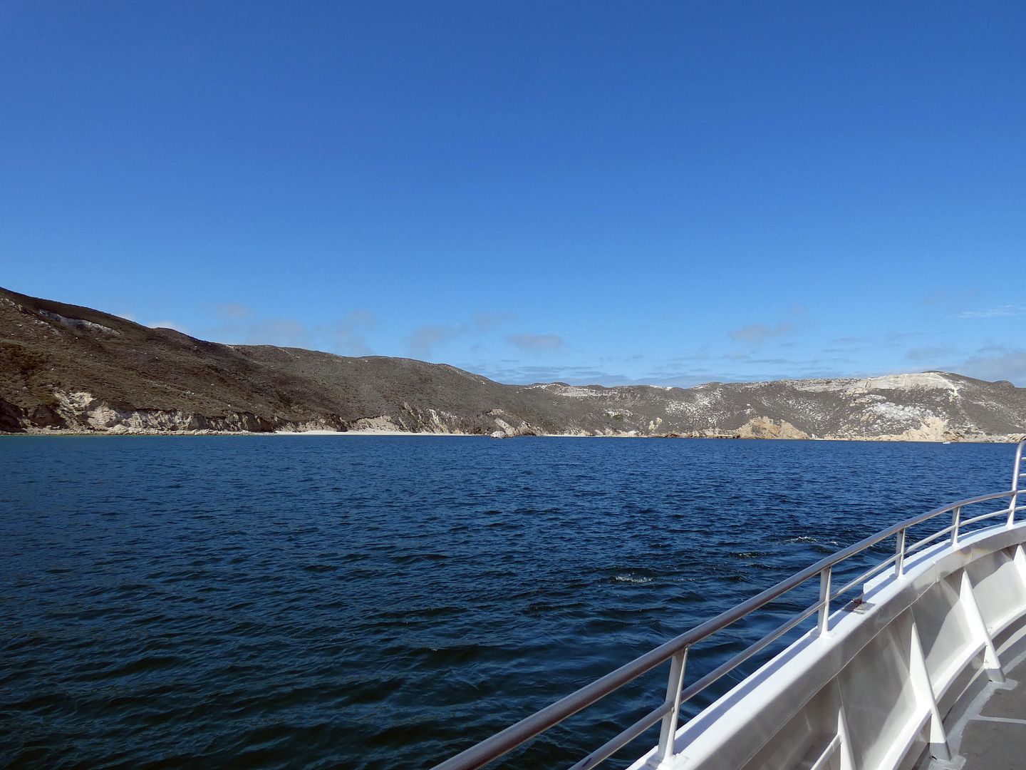
I had actually booked a trip there around this time last year—but had to cancel it so I could use the refund to buy groceries and whatnot.
This year, I wasn't going to miss it again. There's a narrow seasonal window of when you can take an Island Packers boat there for a day trip, and the day trips always sell out. 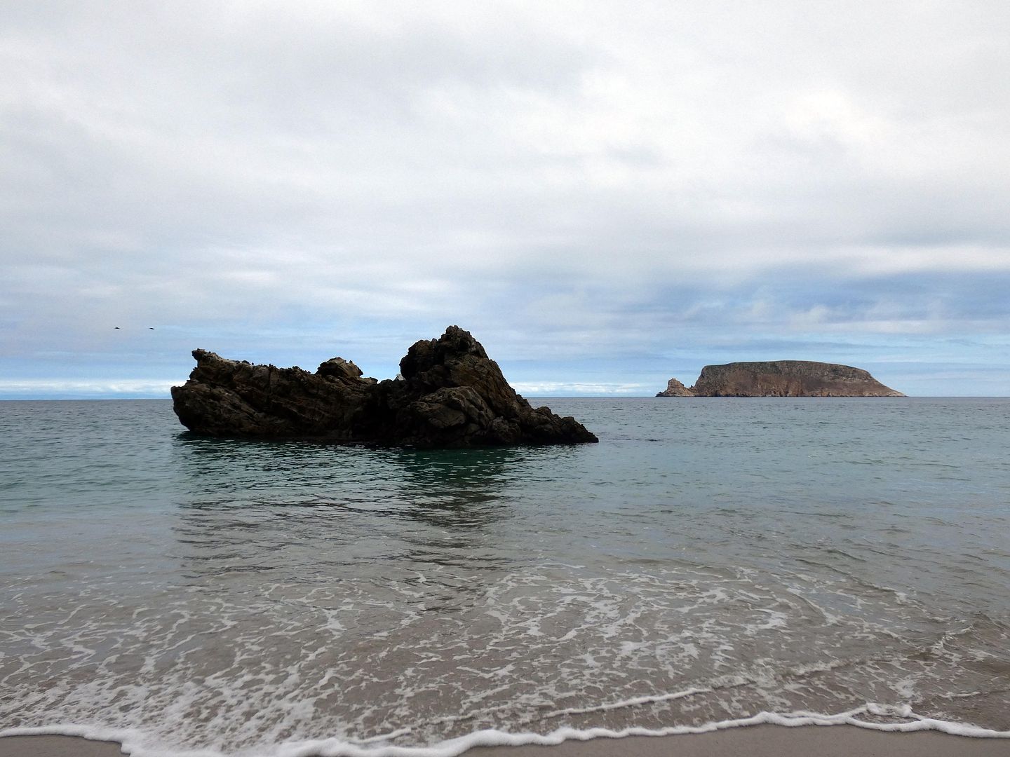
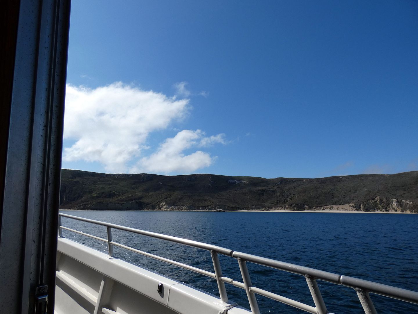
So I hauled my cookies up to Ventura Harbor for an 8 a.m. departure time on a Saturday morning and settled in for a three-hour boat ride, which really took four hours as our captain paused for dolphin pods, orcas, and humpback whales as we crossed the Santa Barbara Channel.
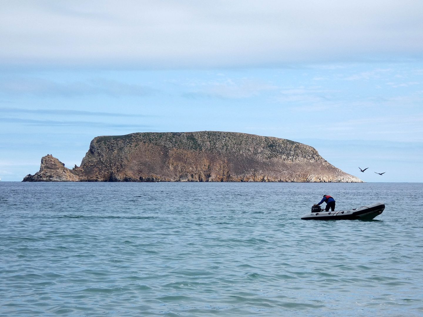
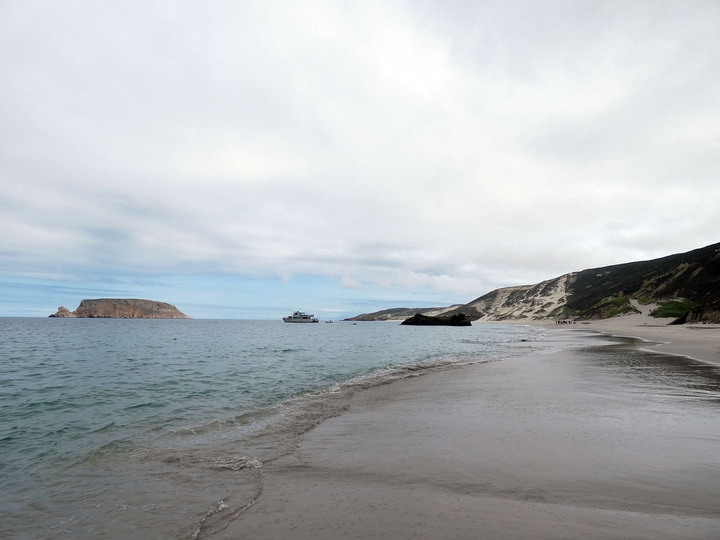
Once we arrived, we had a wet landing as skiffs shuttled us from our boat to the beach, six passengers at a time.
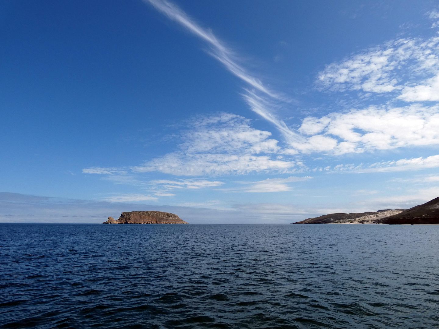
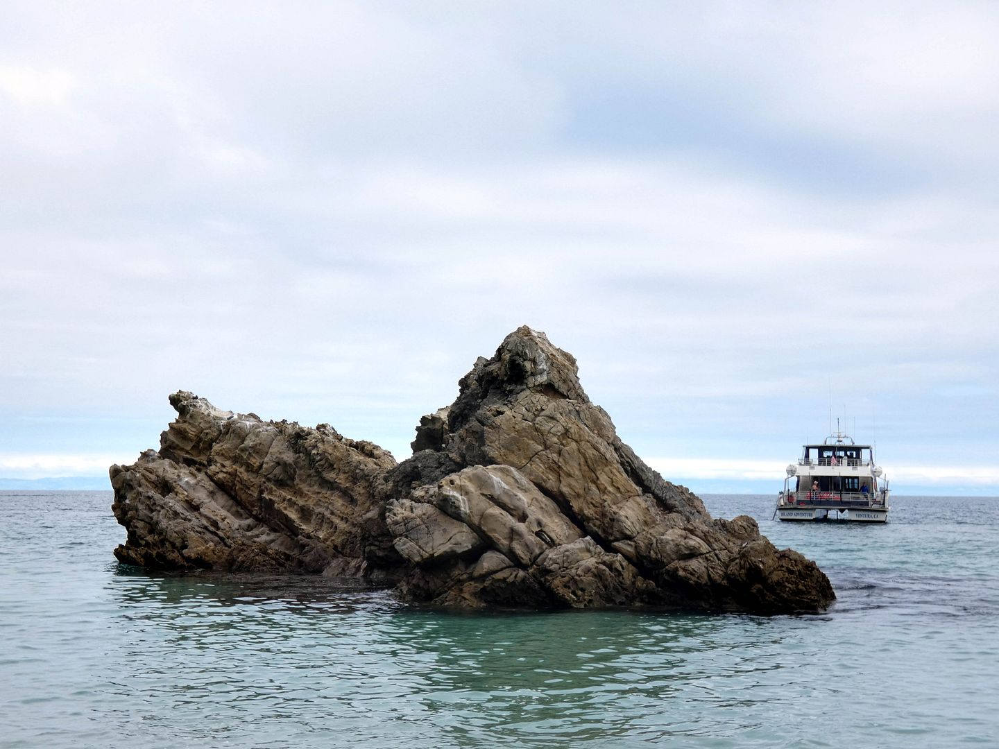
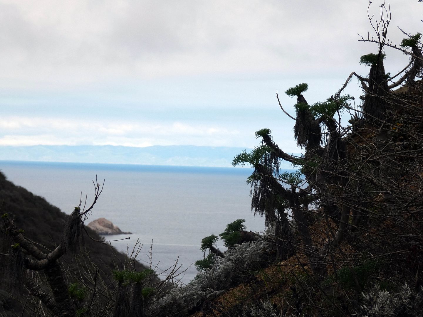
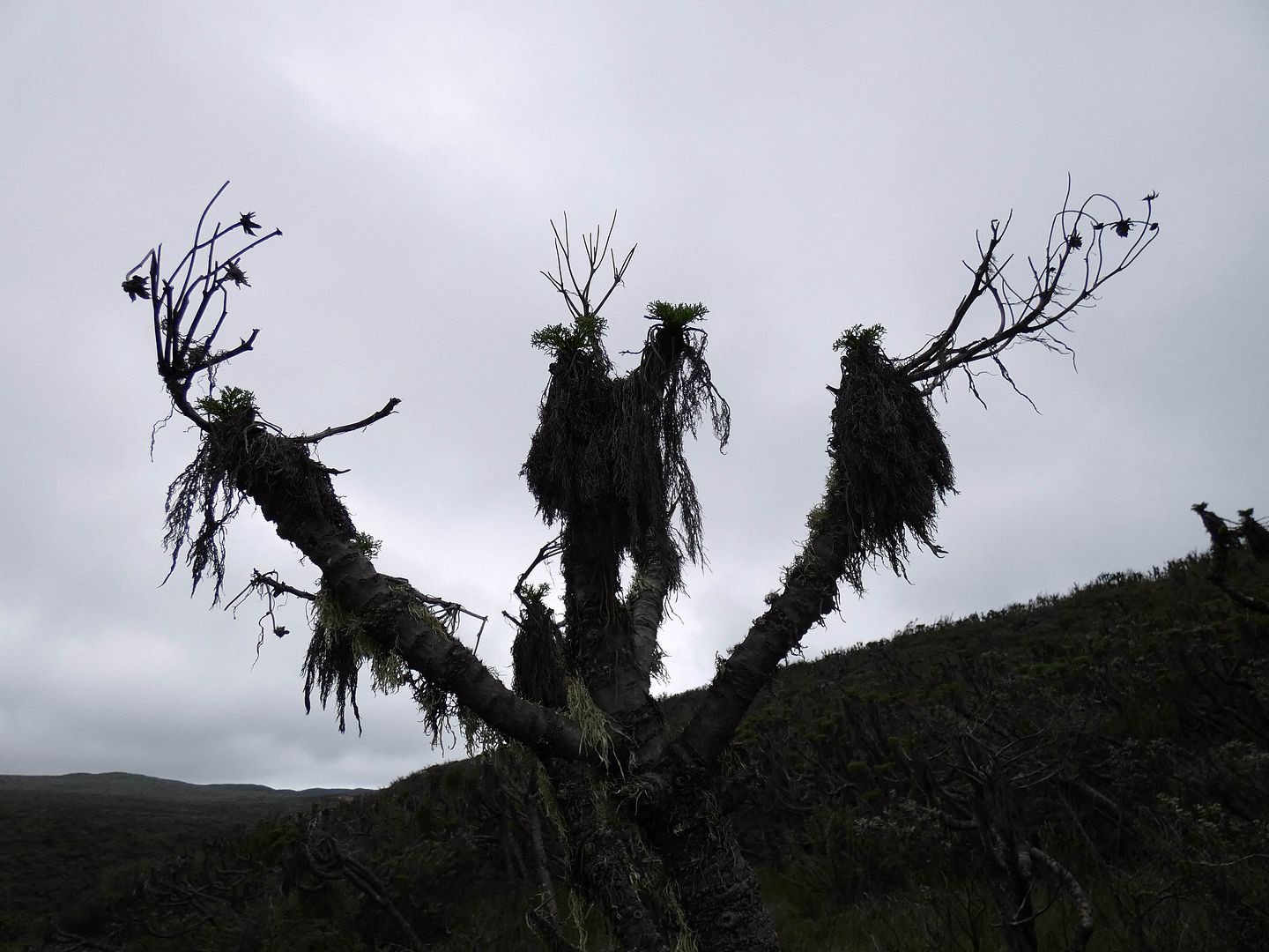
Prince Island
I hung at the back of the line since I'd planned on staying on the beach rather than joining a volunteer naturalist to either the caliche forest or Harris Point. They'd warned us that making there and back would require a forced march pace—something I knew I couldn't do while ascending 500 feet up a sheer cliff.
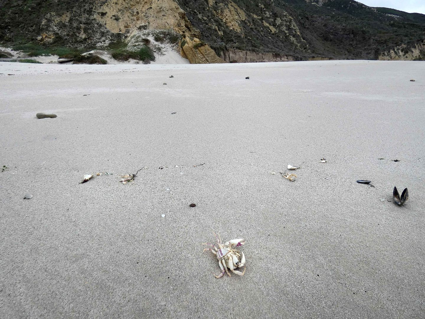
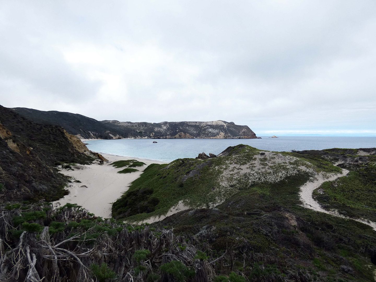
So I dawdled a bit on the beach, snapping photos of the scenery...
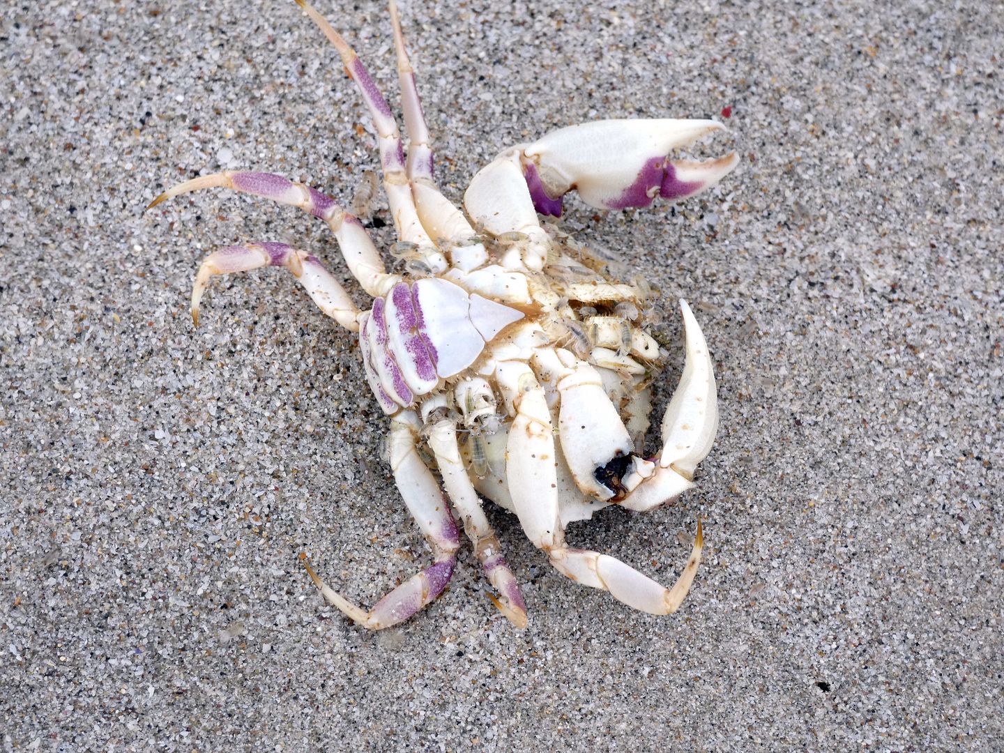
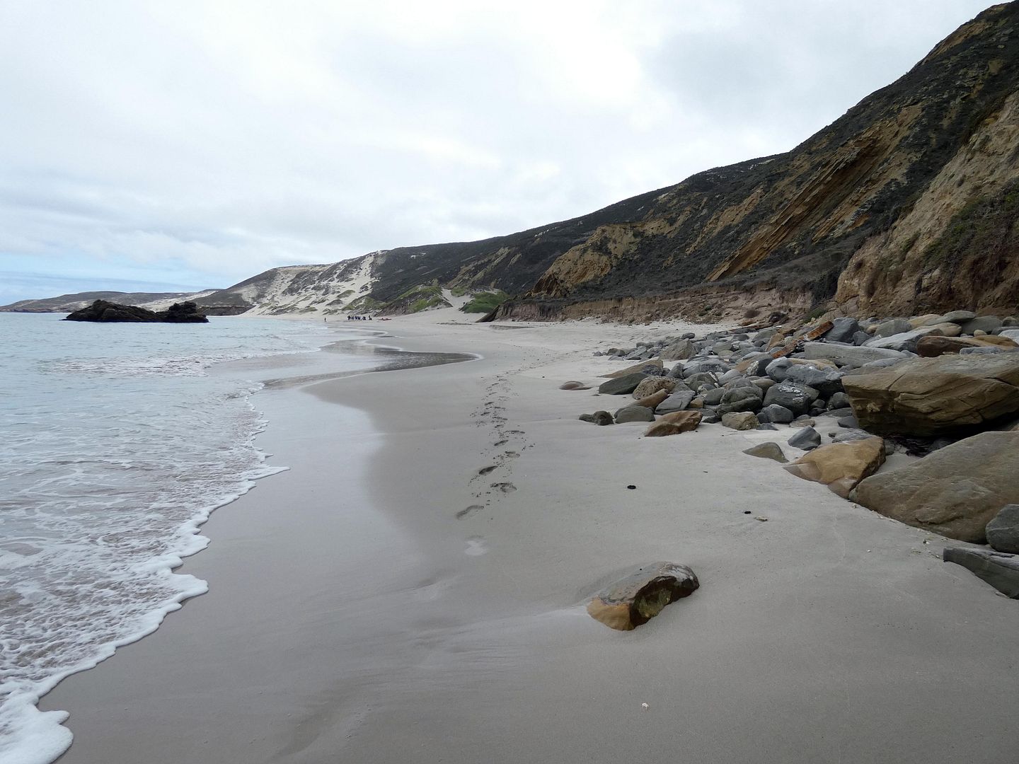
...including a few carcasses...
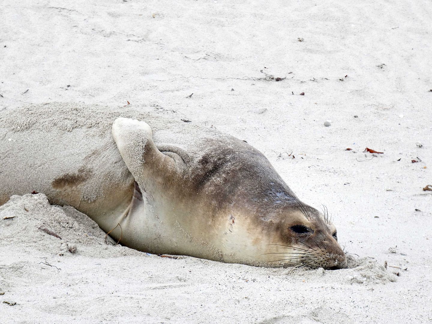
...and a living but sleepy seal who'd hauled out onto the sand (which I kept my distance from, and used my zoom lens to photograph).
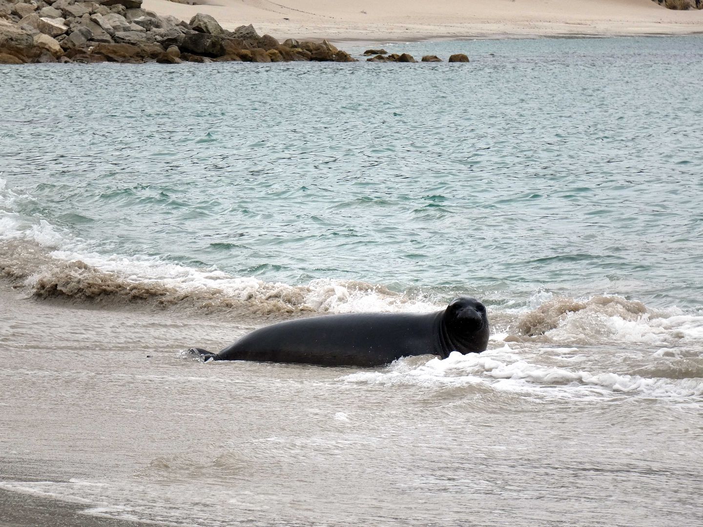
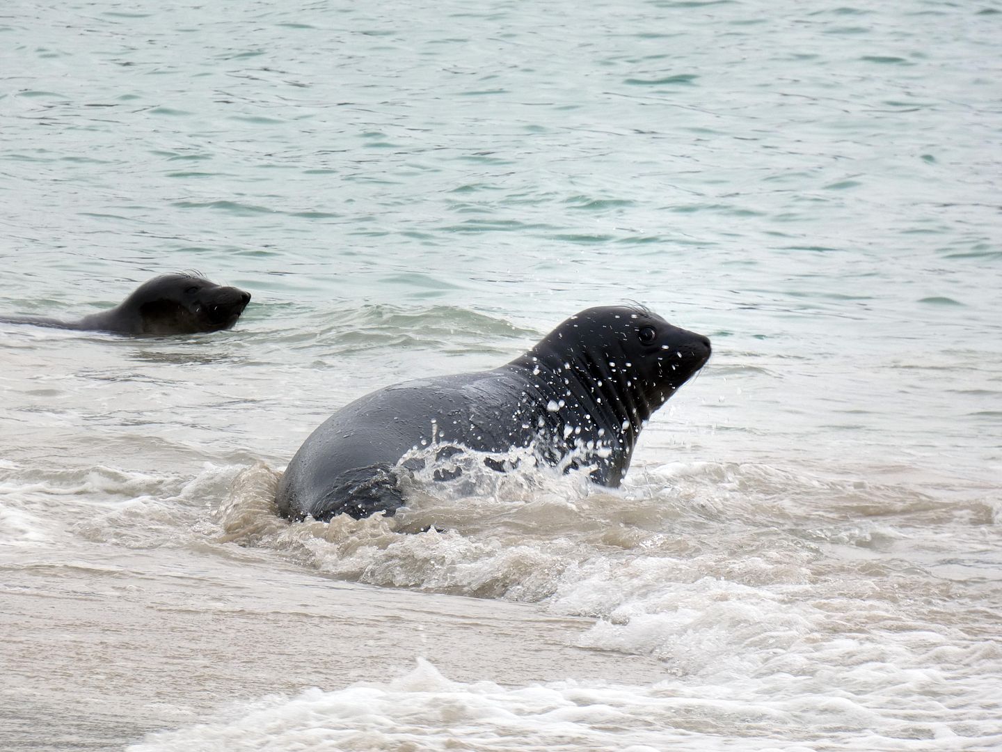
Heading west along the north shore of the island, I also encountered a pair of dark-colored harbor seals (one of four seal species found at SMI) swimming in the surf and barking at me if I got too close.
San Miguel Island is also reportedly home to some northern elephant seals, which can be seen at Cuyler Harbor (where we anchored), as well as sea lions.
But as much as I enjoyed squishing my toes into the wet sand—and even submerging myself in the shallow end of the sea—I quickly grew restless, wondering what else there was to see.
It didn't seem like I should spend all that effort and anticipation just to see only a sliver of the island.
I'd heard that there were a ranger station and a monument that could you could hike to without being accompanied by a ranger or naturalist—unlike the petrified forest, for example, which crosses areas that supposedly could contain unexploded ordnances (from the Navy's occupation and former use of the island as a "bombing range").
For those, you need an official making sure you stay on the trail and don't go wandering cross-country. But the other destinations could be reached on your own, at your own pace—and weren't very far.
I'd mistakenly thought that they, too, were down by the beach, in an easterly direction.
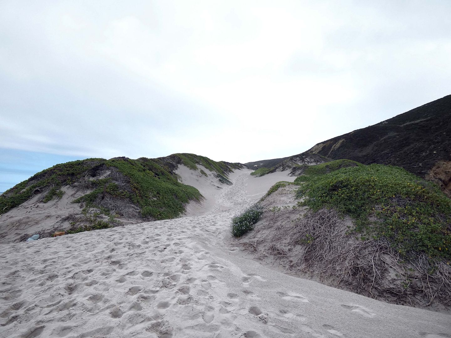
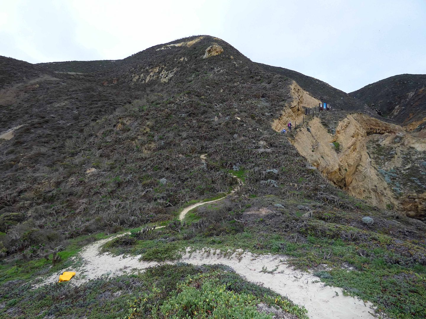
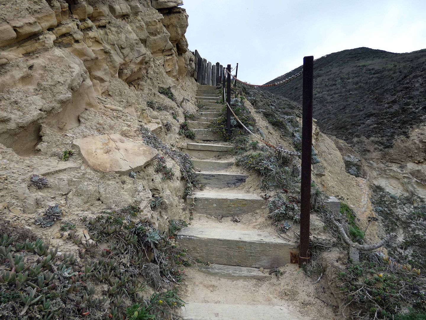
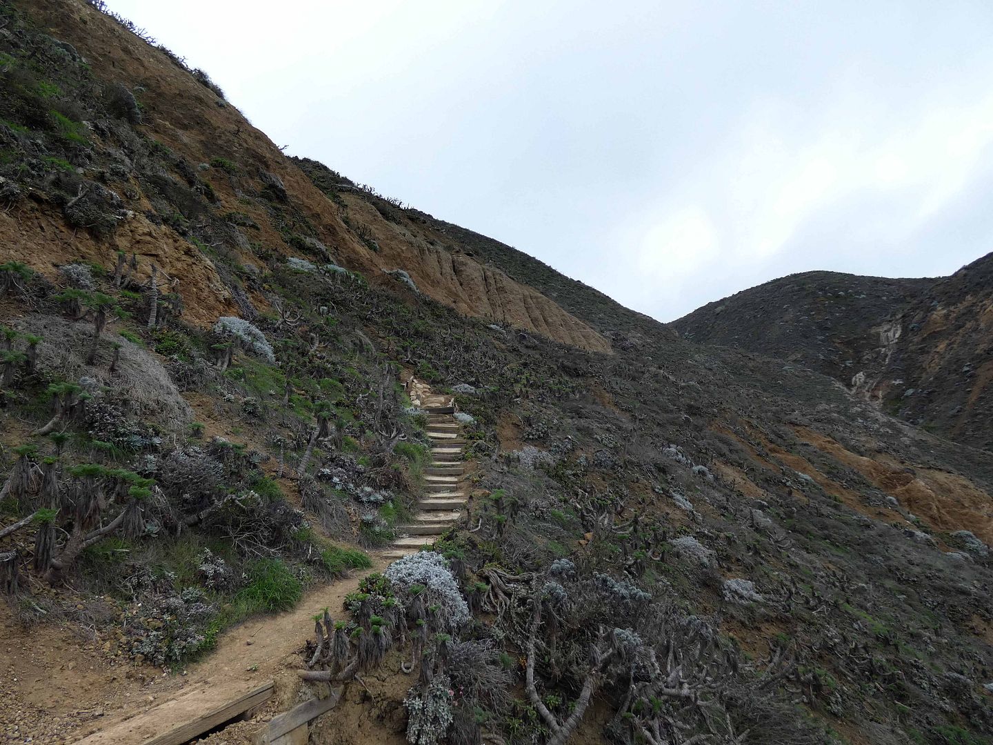
But I quickly realized that to get to them, I'd still have to climb those 500 feet up Nidever Canyon—what the Los Angeles Times calls "a strenuous welcome to the island."
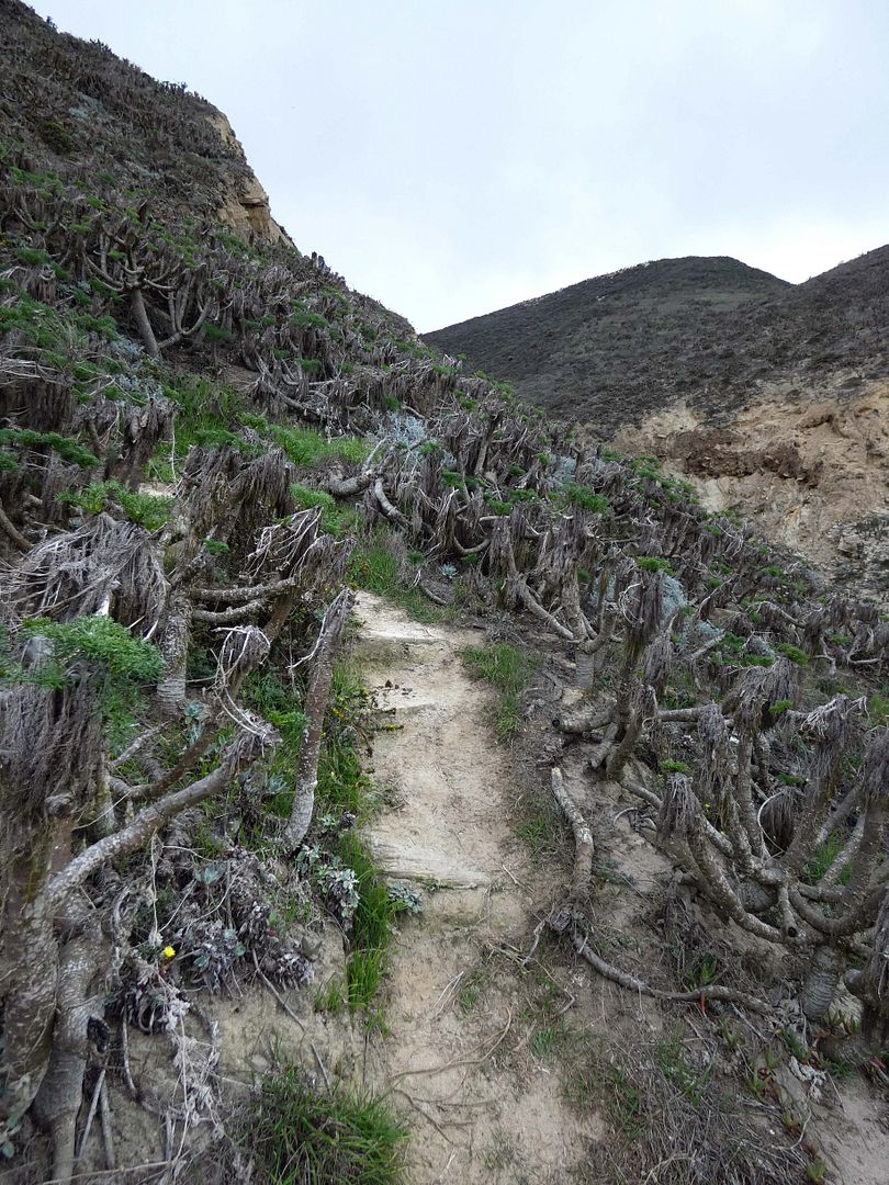
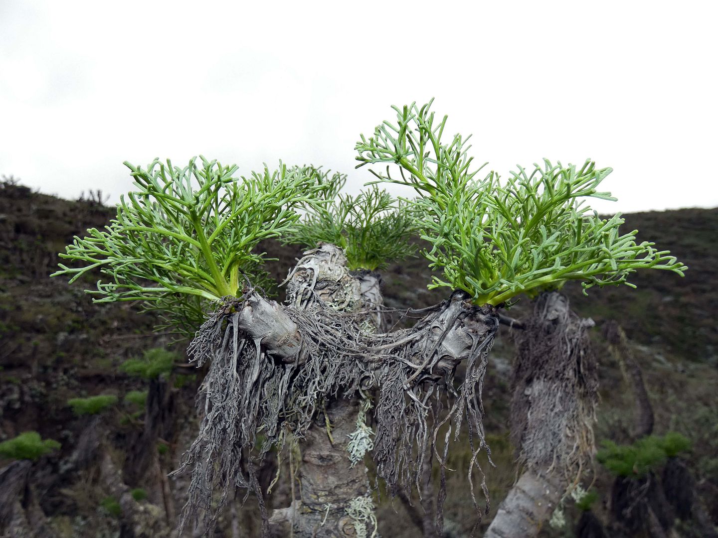
So, wearing wet swim bottoms, a bikini top, and water shoes instead of sneakers, I began my own haul up the island—trudging every step of the way, past every coreopsis trunk that was slowly emerging from its dormancy.
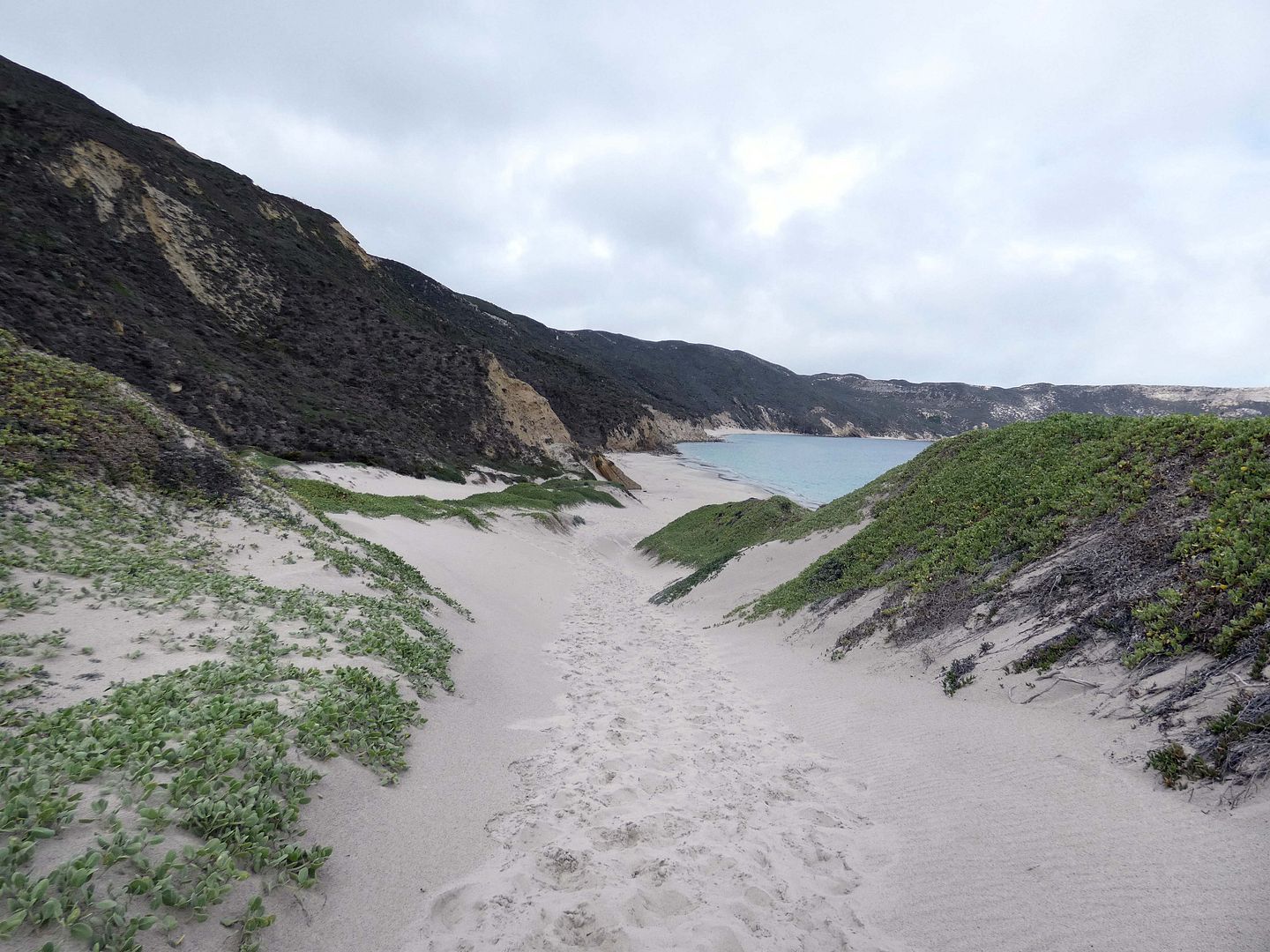
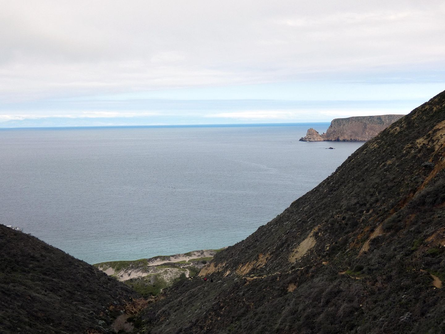
I kept stopping and turning back, telling myself I could quit at any time, and reminding myself of how beautiful the view was looking out at the ocean.
I set small goals for myself, the first being reaching the welcome sign...
...just a fraction of the way into the hike.
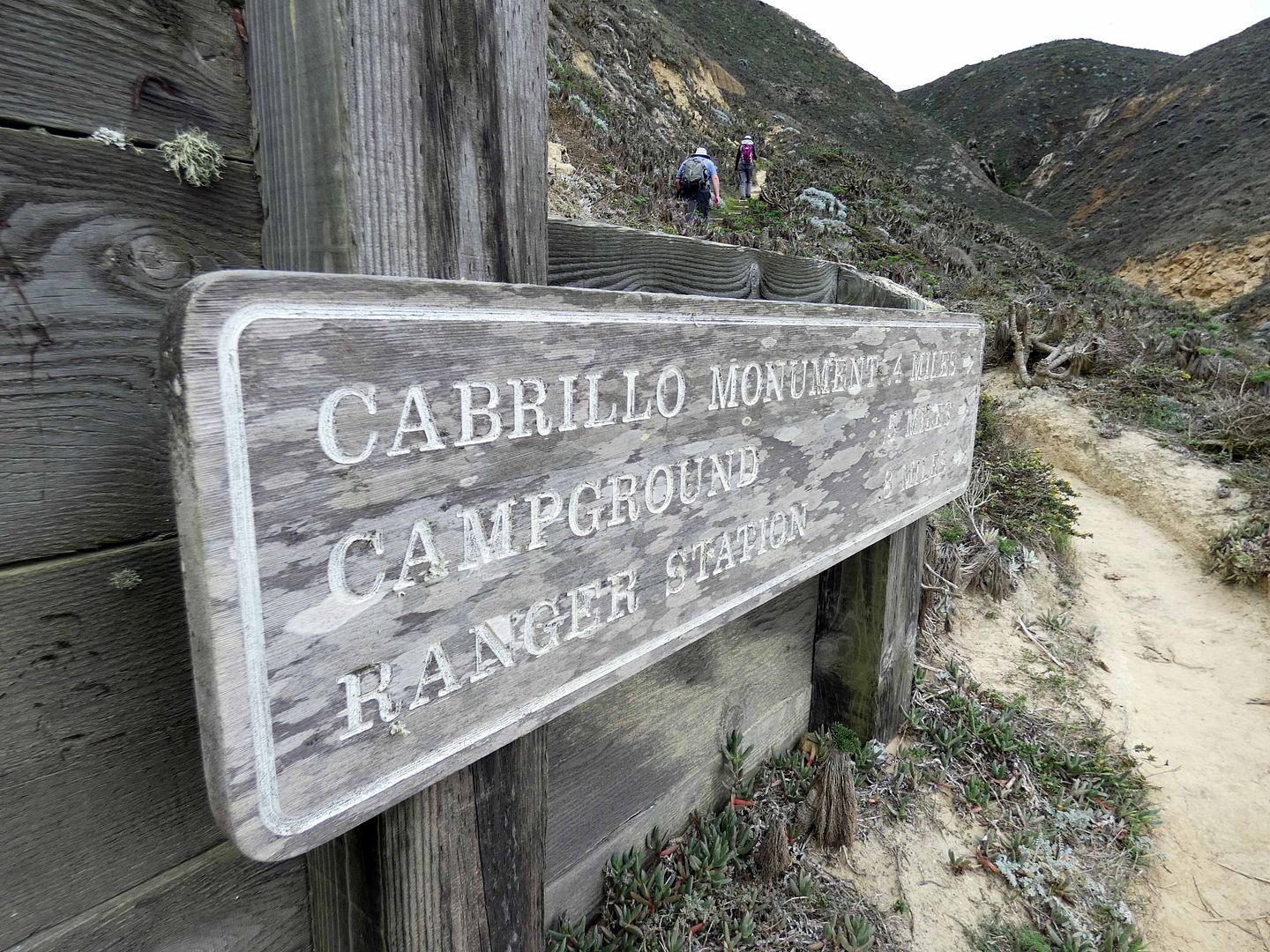
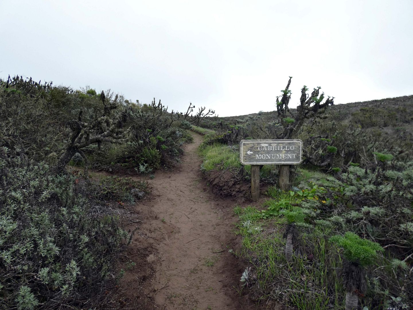
From there, the sign said, it would be just 0.4 miles to Cabrillo Monument. That totally seemed doable.
But the upwards climb was relentless and rough—a single-track, dirt trail with nowhere to rest.
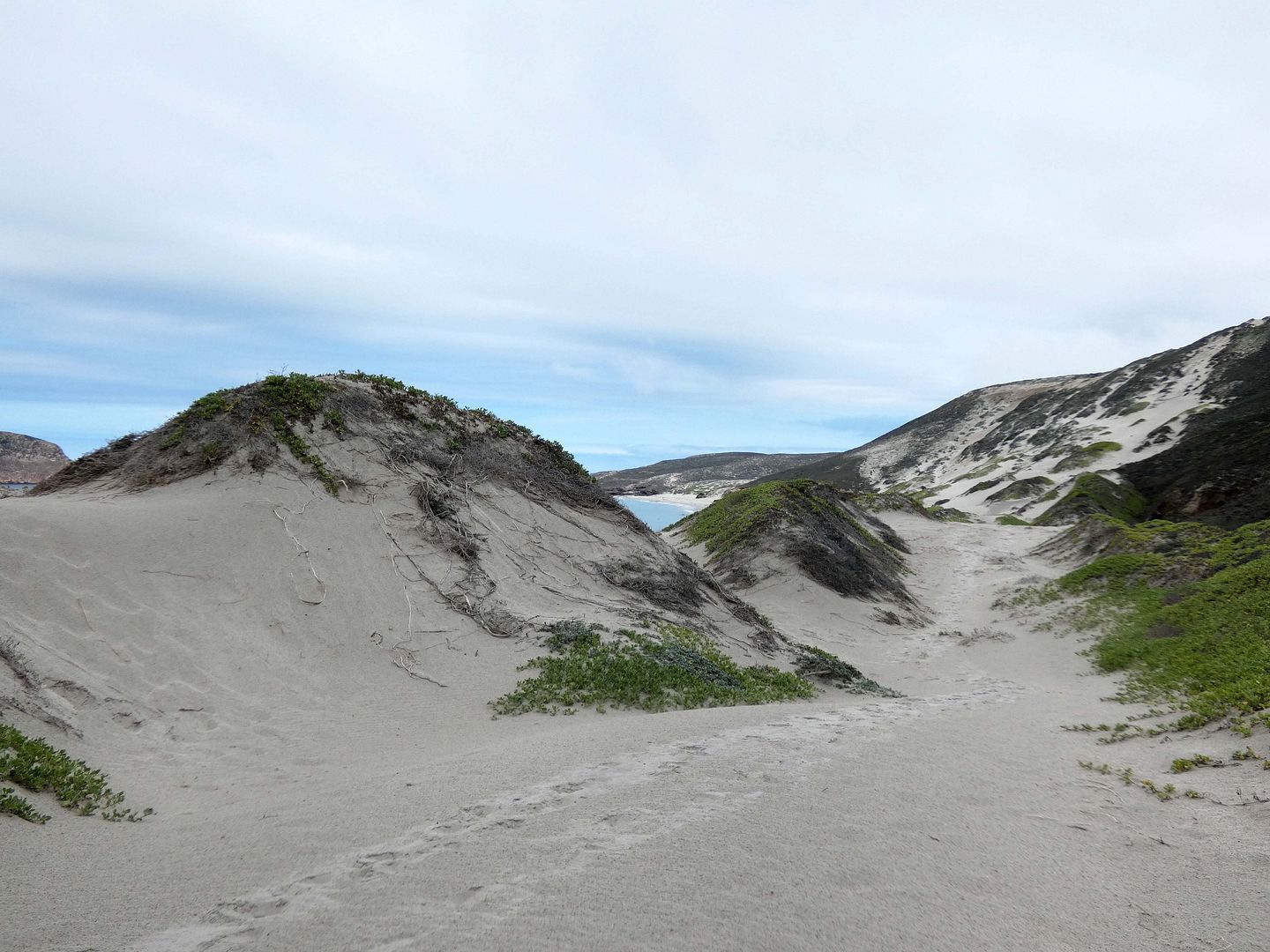
There's no shade anywhere on San Miguel Island...
...but fortunately, it was so overcast that day, I didn't really need it.
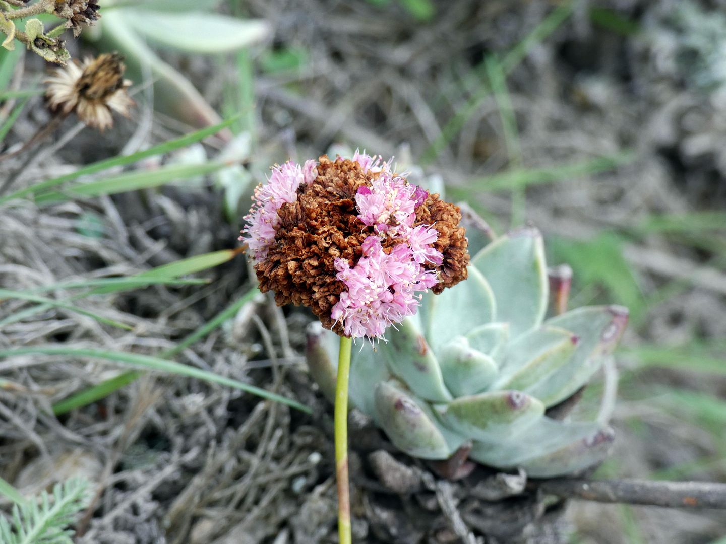
I was surprised at how lush it was, with those bright-green bursts breaking through the otherwise dead-looking coreopsis and even a few wildflowers in bloom—like the summer-thriving, sun-loving San Miguel buckwheat (Eriogonum grande var. rubescens), which flowers from June to October. (And is that a dudleya I see behind it??)
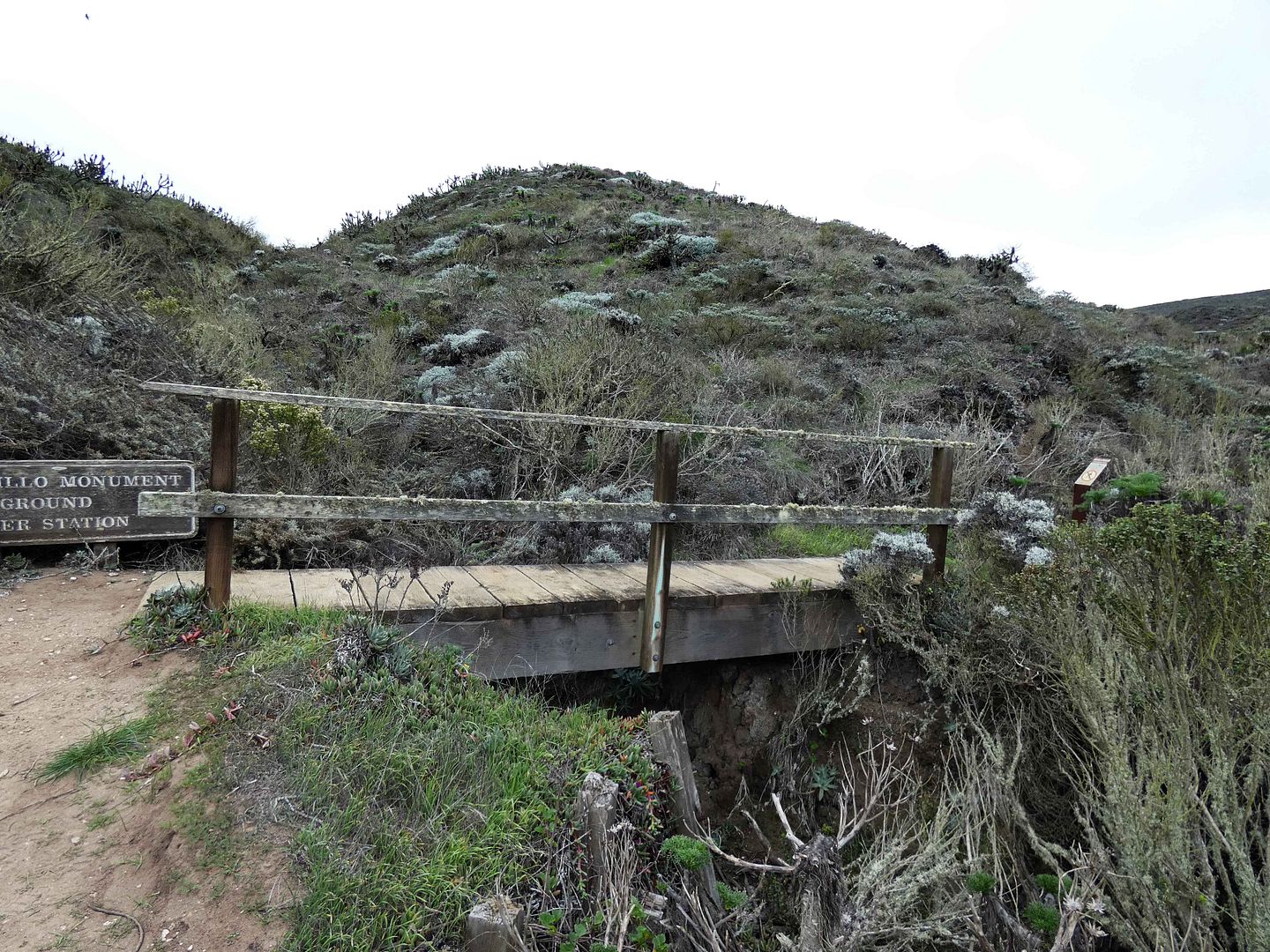
After an interminable amount of time hoisting one leg in front of the other, I finally reached another milestone: the bridge at the turnoff to the section of the island that's closed to the public unless accompanied by a ranger, located on the top of a plateau known as a "marine terrace."
Related Posts:
Instead of turning right to go into the prohibited area, I turned left...
...and climbed through a thick coreopsis forest until the next turnoff, for Cabrillo Monument.
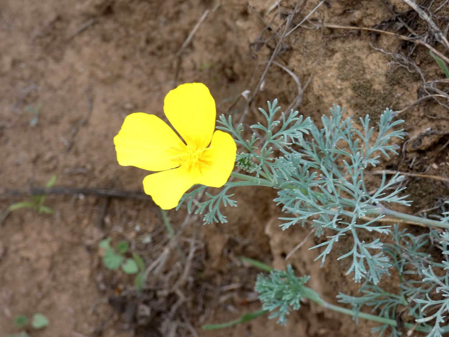
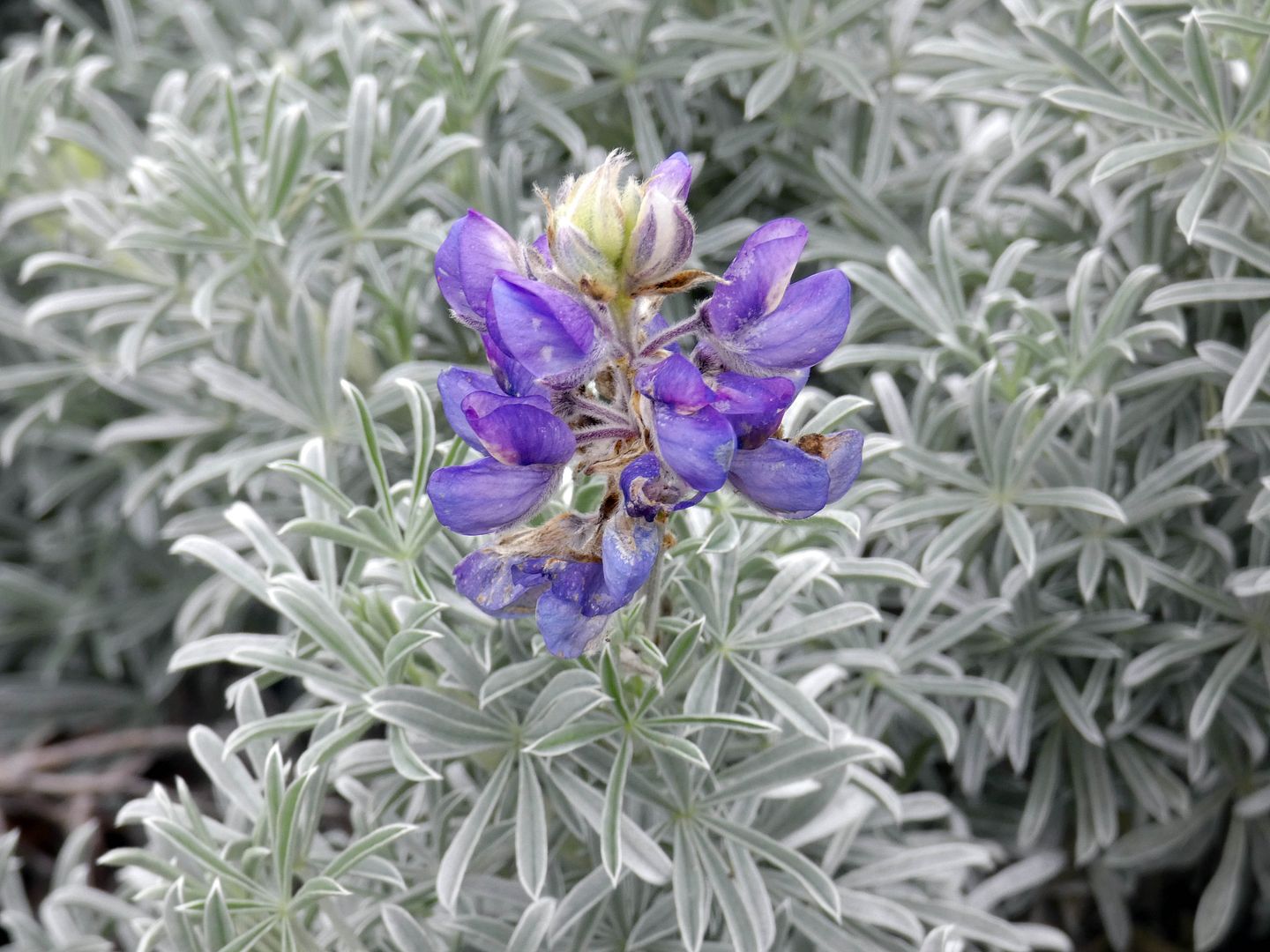
After passing some scattered California natives that have returned to the island as it recovers from overgrazing in the 19th century (which ceased when sheep were finally removed from the island in the 1950s)...
...like yellow poppies and purple lupine...
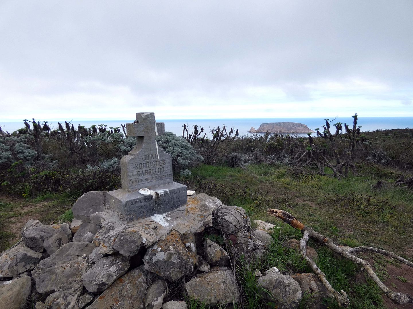
...I finally reached the circa 1937 monument to Juan Rodriguez Cabrillo, who became the first European to explore the Channel Islands in 1542. (The Cabrillo Civic Club of California thought he was Portuguese but he was probably Spanish. And although this looks like a headstone for a grave, Cabrillo was probably buried at sea.)
After a few moments up there, and not enough time to proceed to the ranger station or the former ranch site, I decided to turn around and go back the way I'd come.
I was surprised I'd even made it that far.
All the hikes on San Miguel Island are considered "strenuous" except the beach hike, which takes you not only past elephant seals but also some caves, tidepools, and tar patches.
I split the difference—exploring only some of the beach and a little bit of the top of the canyon, which means either way I've got to go back to see more.
But that's not exactly easy. The L.A. Times calls San Miguel Island "the most remote island off of California"—and because the Navy still owns it (although it's managed by the National Park Service), you need a permit and a signed liability waiver to visit.
There is, however, an airstrip—which means it is possible to fly there. And that may be the only way I get to see some of the island's other treasures, like the caliche forest of fossilized trees, up on top of that plateau.
No comments:
Post a Comment