
Back in 2016, I'd taken a hike up Hostetter Fire Road with the Historical Society of the Crescenta Valley to view the remains of a former graphite mine operation up in the Verdugo Mountains of Los Angeles.
But there wasn't actually that much left of the former Hostetter Mine to see up the hill.
There was, however, a significant mill site that remained down the hill—only it was so hidden in the underbrush and the overgrowth, I couldn't get to it after lagging too far behind the group.
Five years later, I had another chance to go see it, after some volunteers had bushwhacked their way through and tried to re-establish a trail to it.
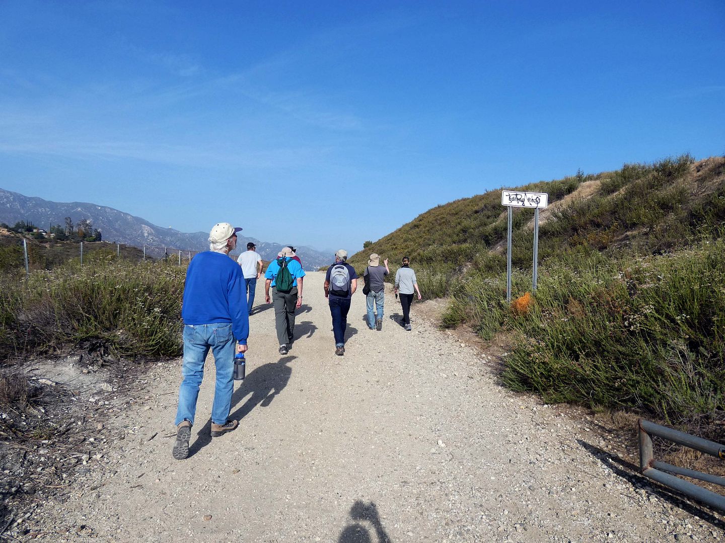
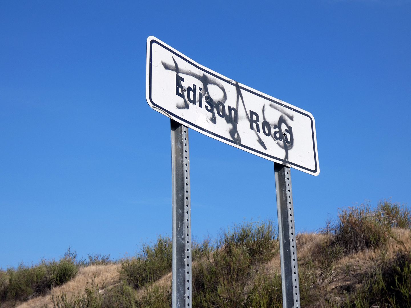
So, I found myself ambling back down Edison Road from the La Tuna Canyon trailhead to see where the "practically inexhaustible" deposit of graphite was milled.
Of course, I wasn't just five years older—but also innumerable pounds heavier, coming out of more than a year's worth of pandemic inactivity and feeling more out-of-shape than I've been in a long time.
Plus my hiking boots had crapped out sometime during the pandemic while sitting unused in my trunk. And I was still trying to wear a mask around others, even outdoors, even after being vaccinated.
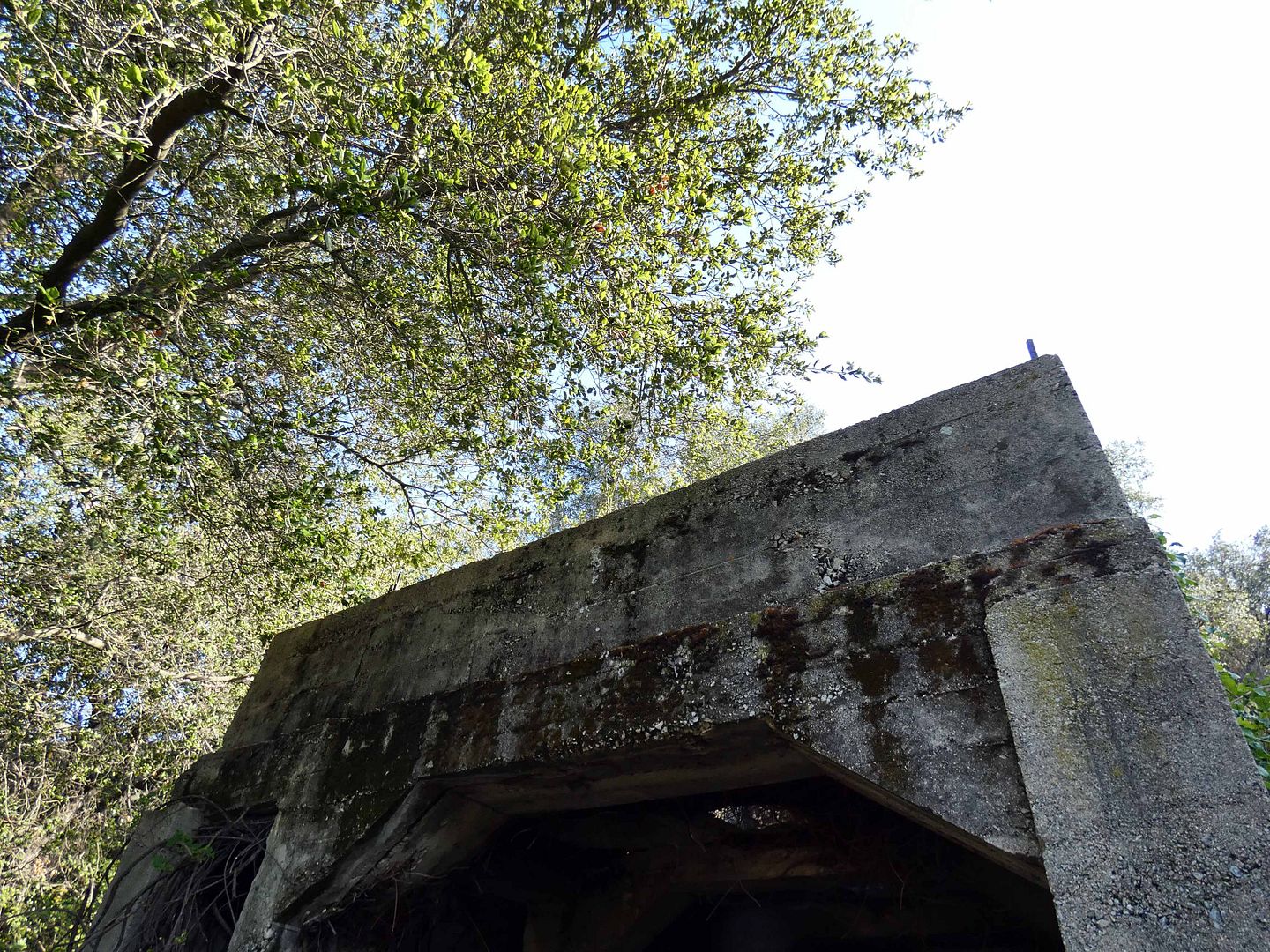
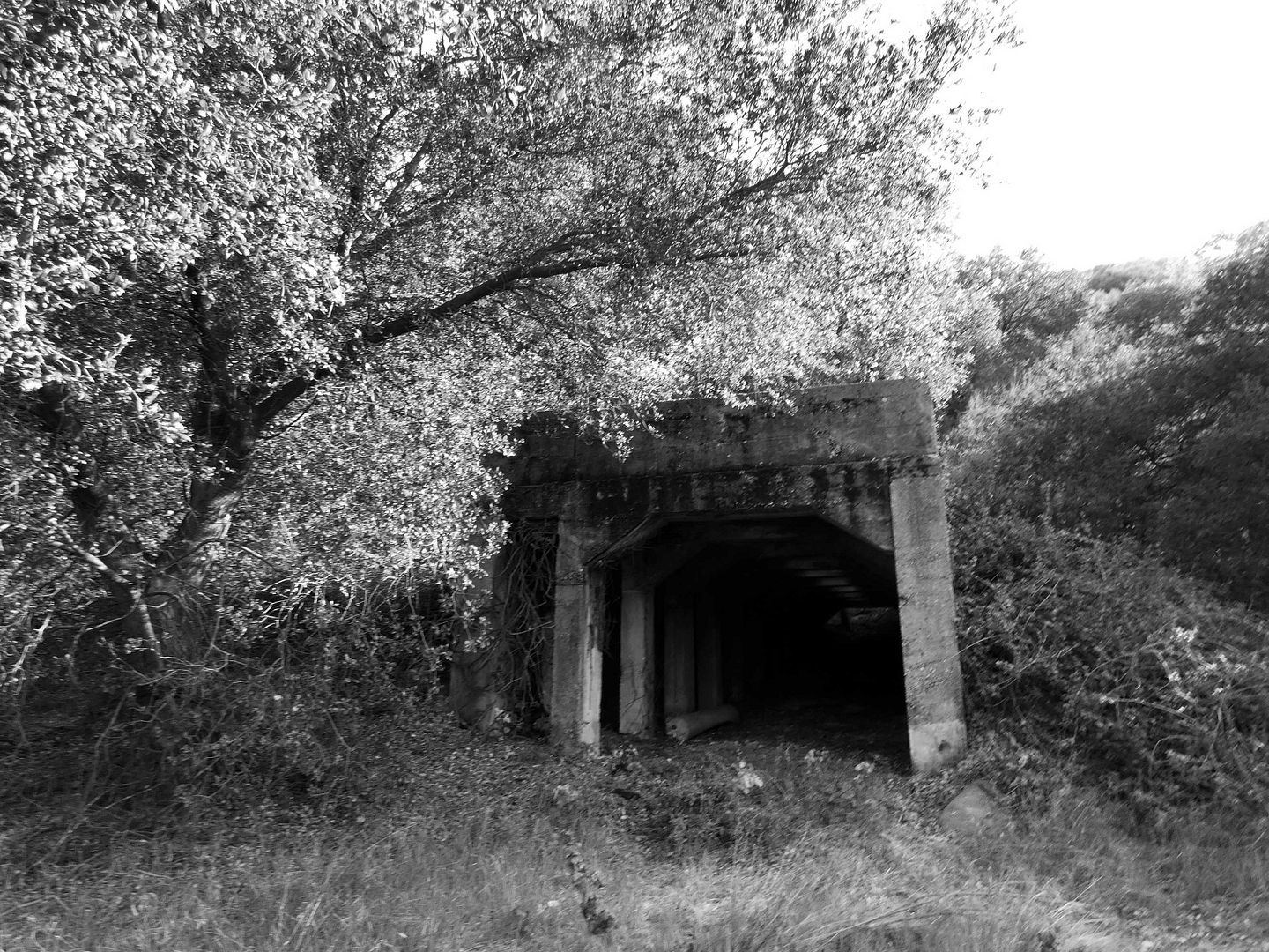
After hiking up a loose trail through poison oak to get to the concrete bunker (and having a panic attack on a particularly steep and slippery part), it was hard to believe that it had once been fully visible from the 210 freeway.
Hence its reputation as the "mystery mine" of the Verdugos.
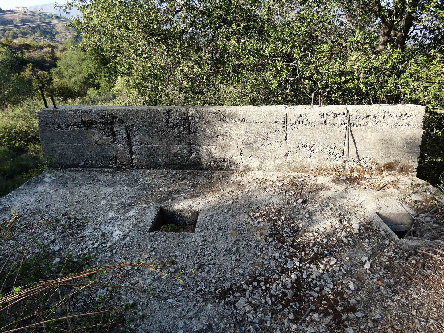
According to local historian and Crescenta Valley Weekly columnist Mike Lawler, the graphite (or "plumbago") was first discovered in the area in 1889—and some 30 years later, the Hostetter family leased the mine site to Standard Graphite Company, which funded the construction of the concrete mill.
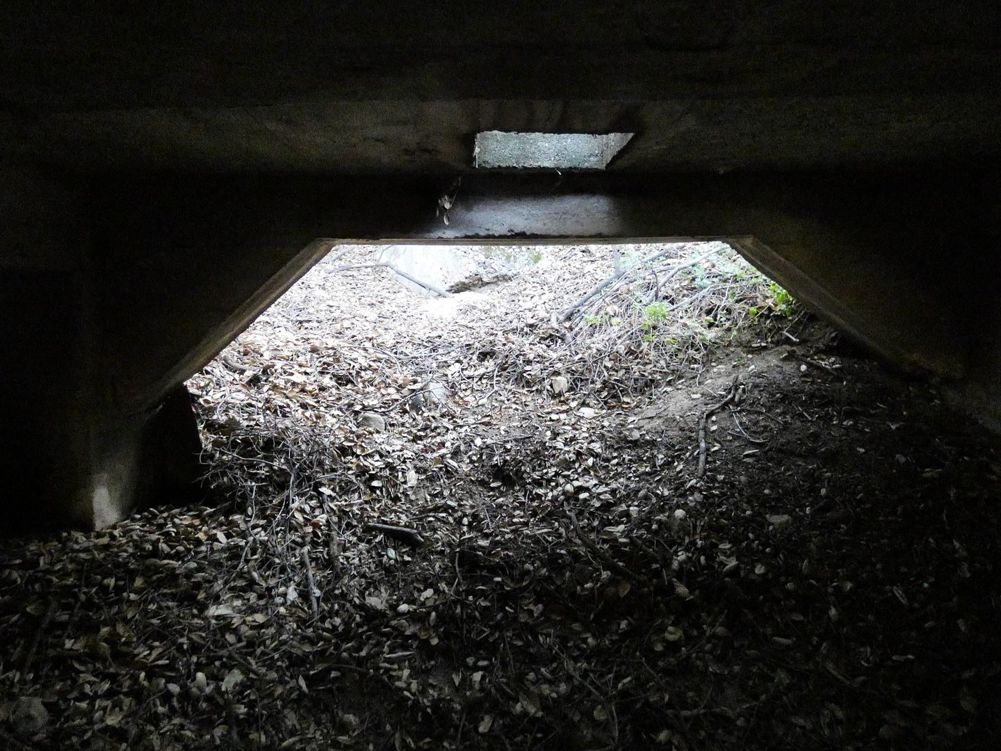
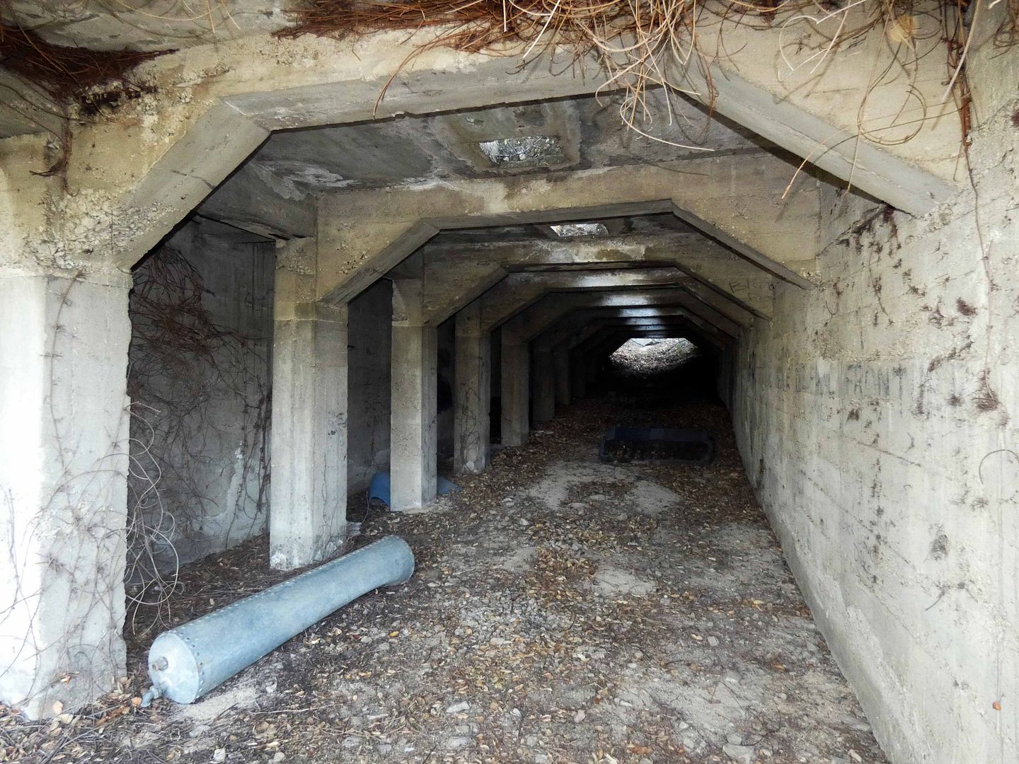
Today, it looks something like a railroad tunnel—with no tracks inside or on top of it, and with one end's opening partially blocked by earth, leaves, twigs, and other natural debris.
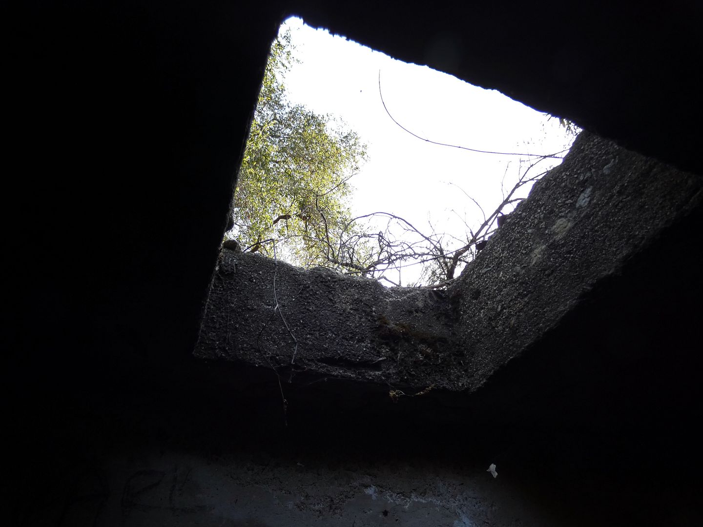
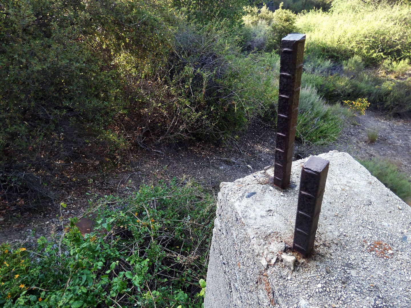
The square apertures in its roof might've provided ventilation or simply access to the mill site from above...
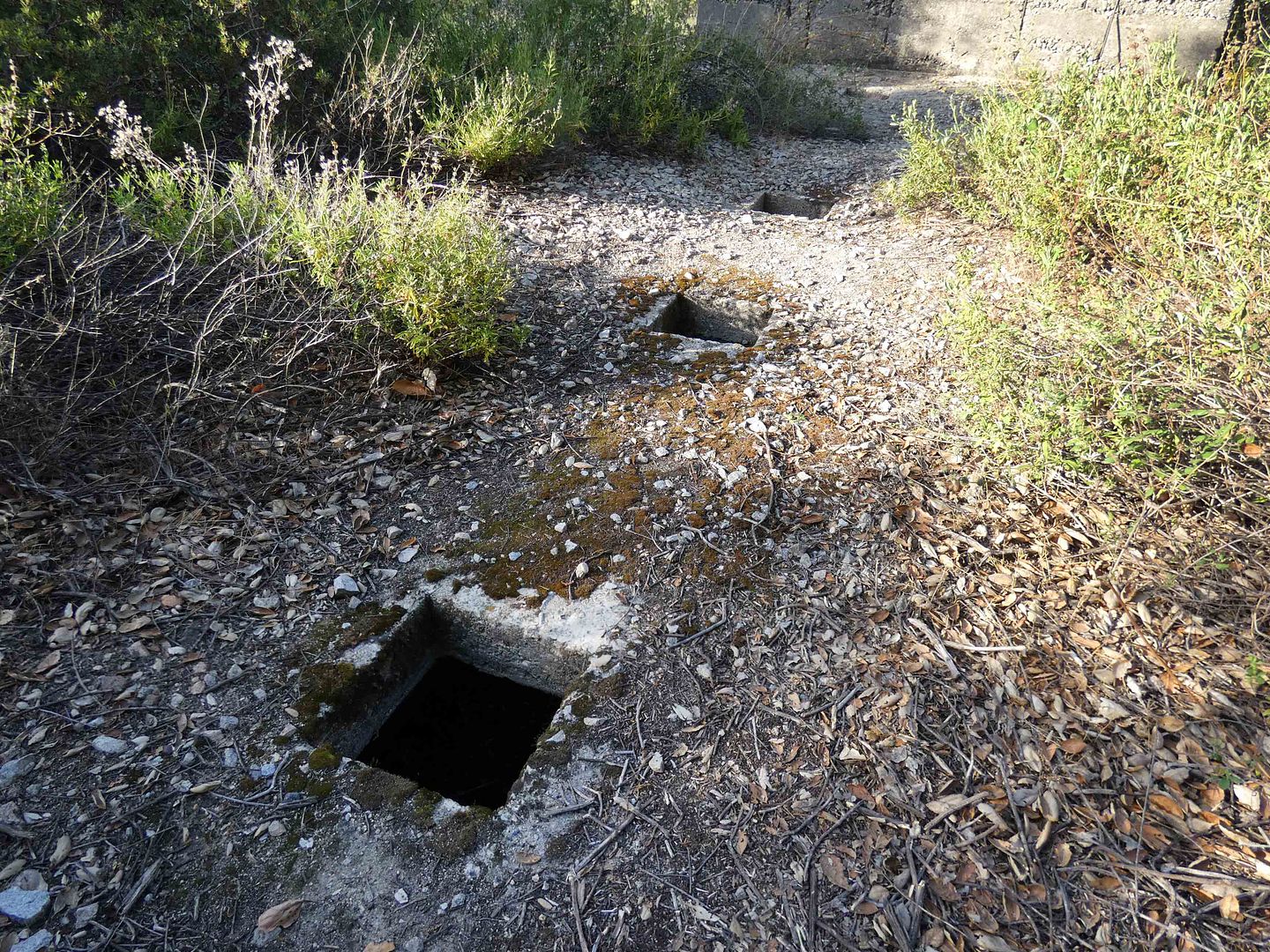
...perhaps for delivering either the graphite ore for processing or the water for the "floatation"-style extraction process.
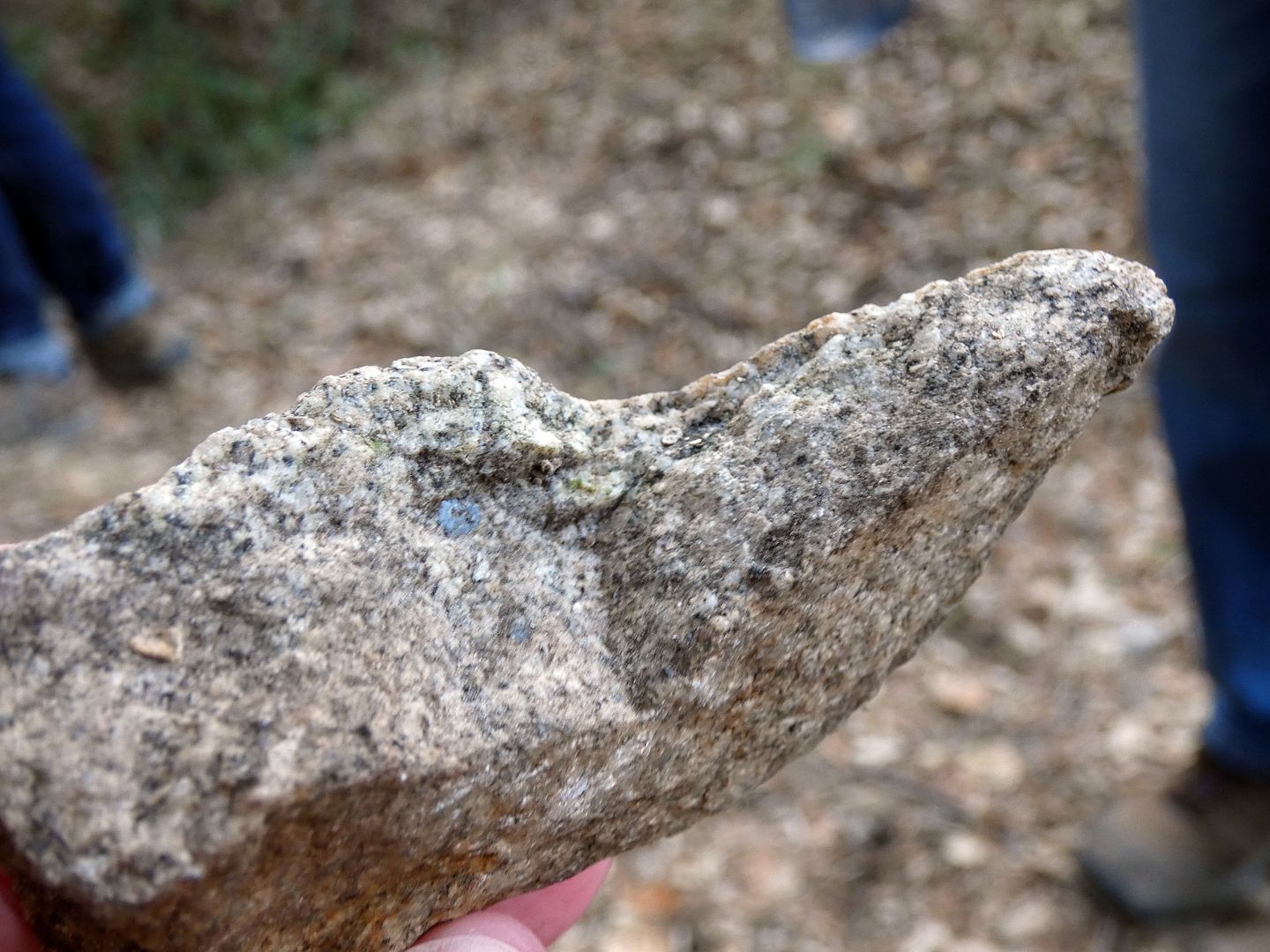
After all, the graphite was embedded inside hard, granite rock—and the miners needed a way to get it out.
I climbed through the concrete structure, out the back, and up to the top to get a view from above...
...though that perspective didn't really provide any more answers.
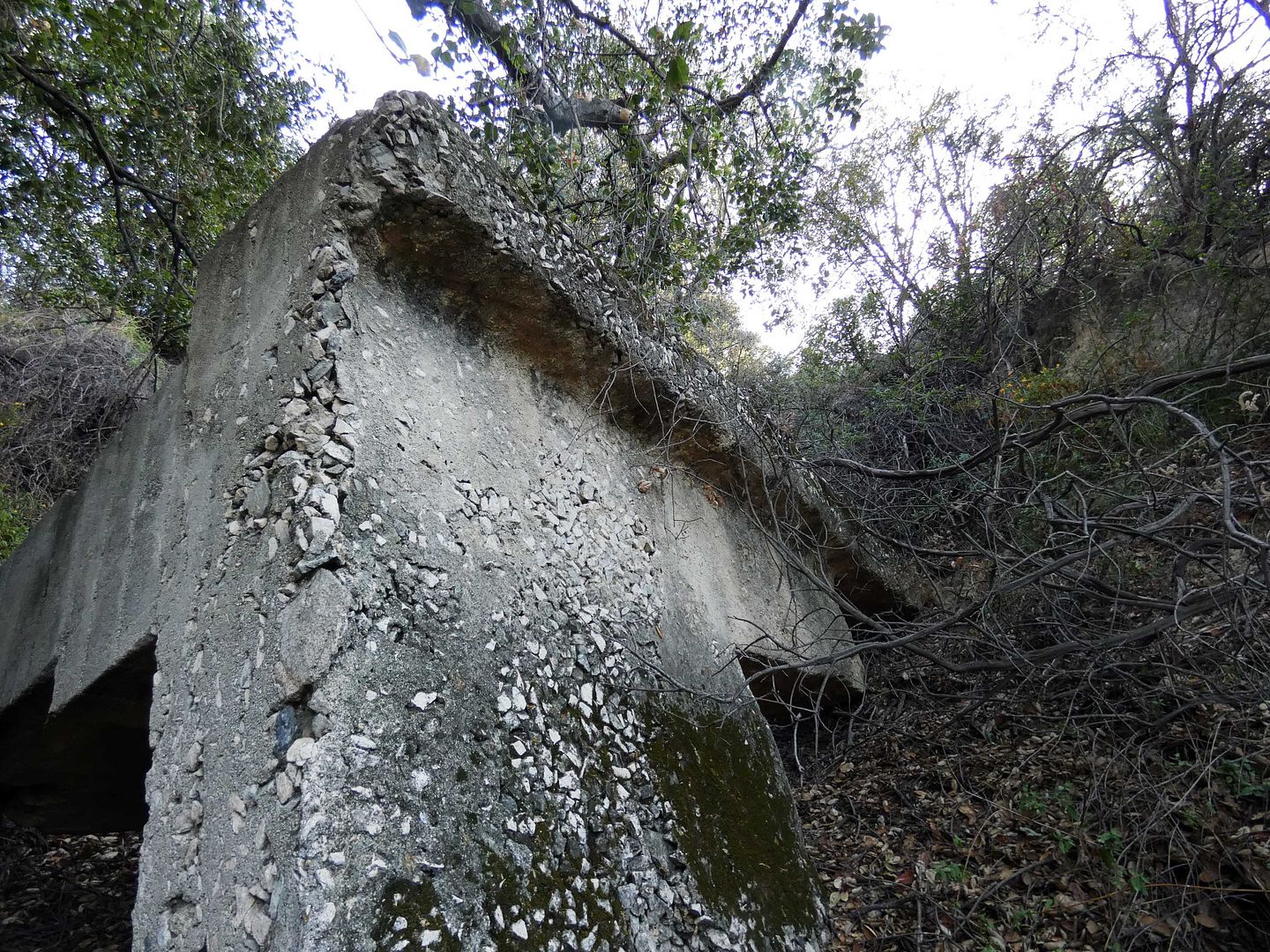
So back down I went, this time down the slope of eroded material along the side of the bunker, which closed around 1930.
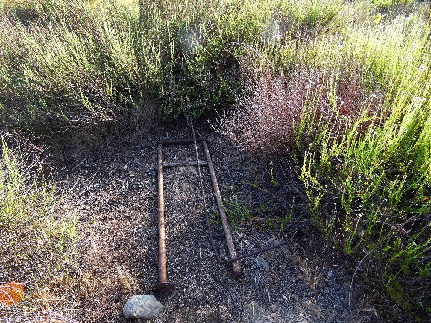
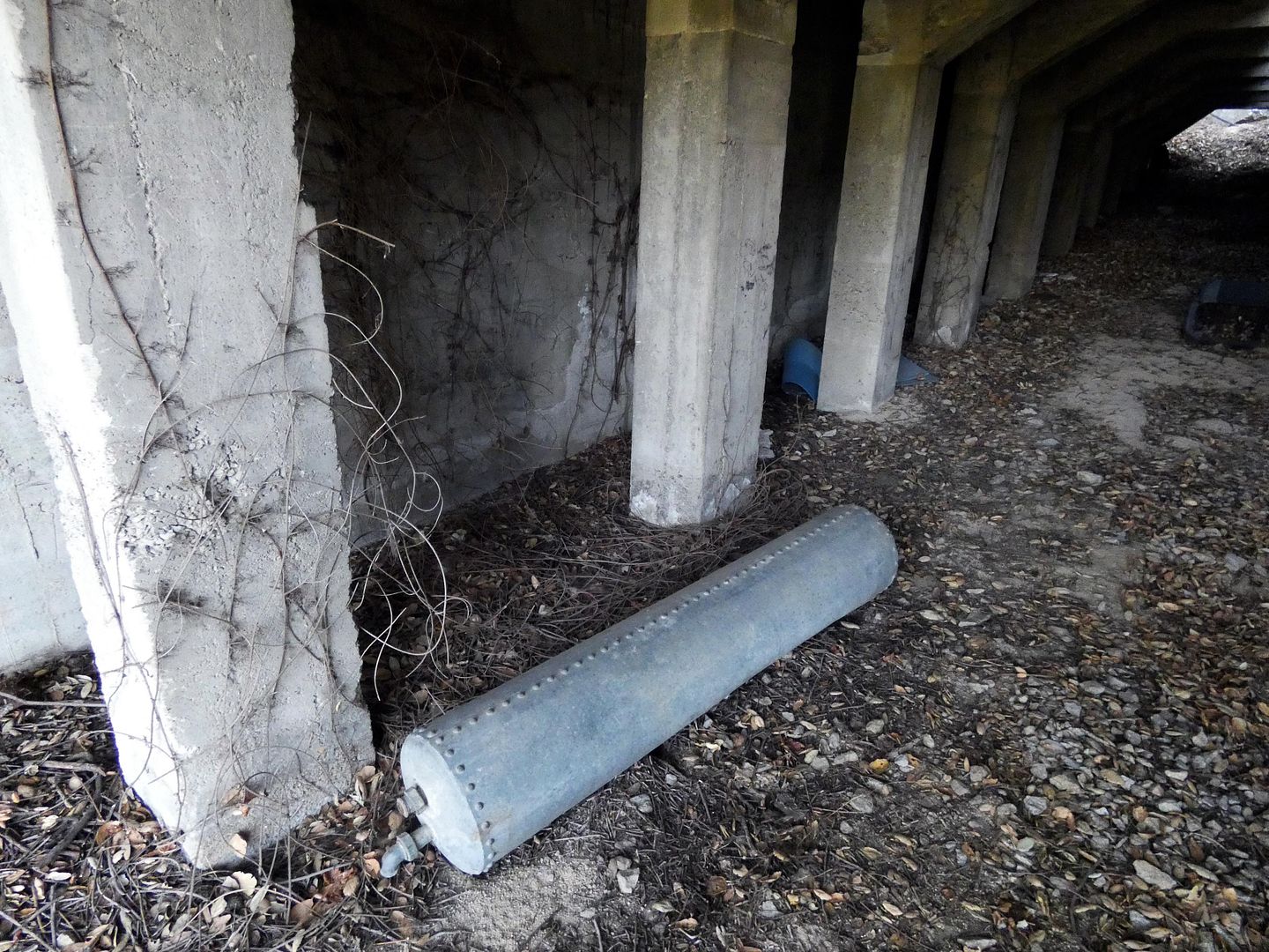
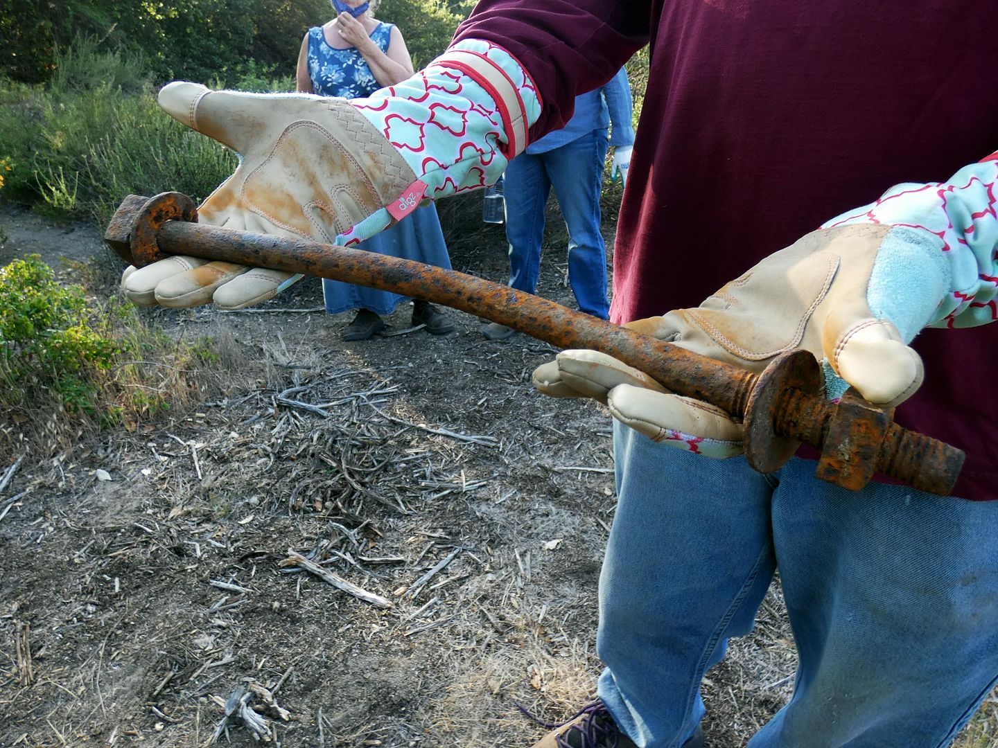
Fortunately, because its location is so hidden, there are still artifacts in situ...
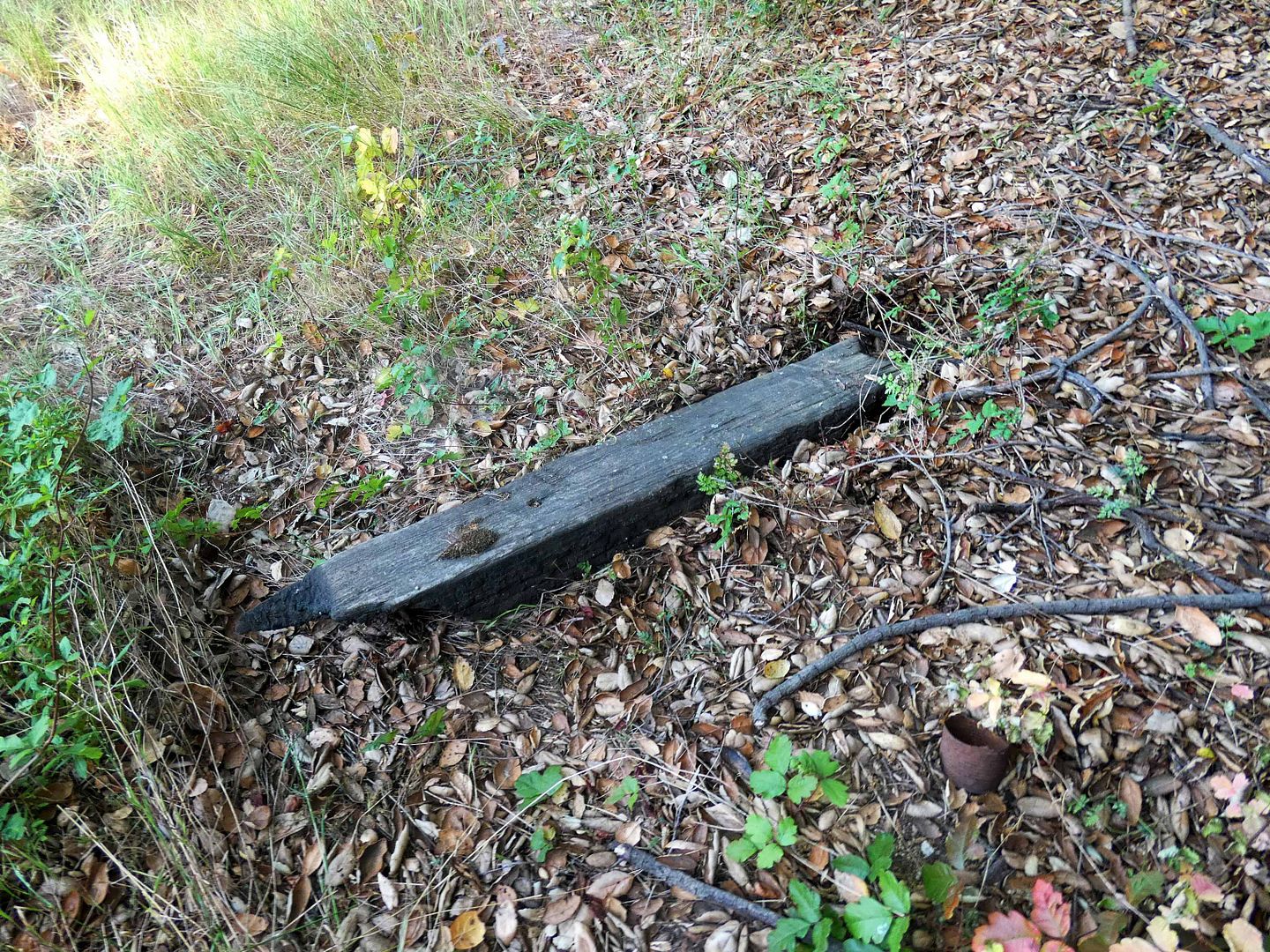
...including a railroad tie that presumably had been used on the site (maybe as part of the ore cart track)...
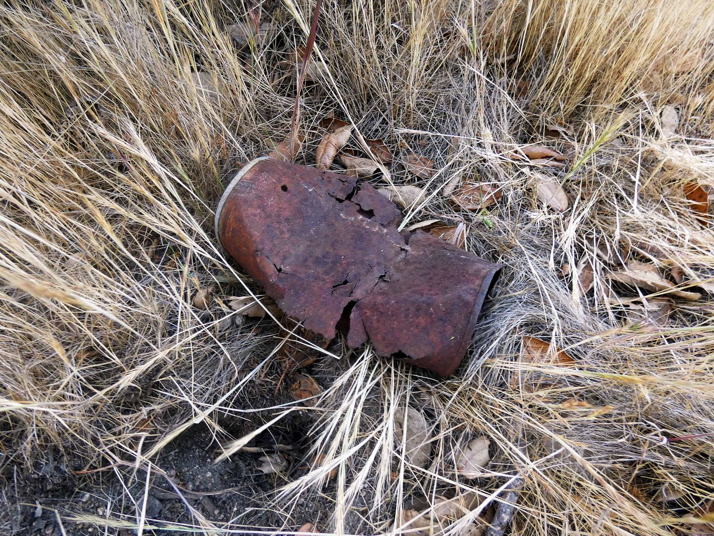
...as well as rusty bits of old barrels and cans and other requisite detritus.
I'd waited so long to get to this abandoned site, I wasn't about to turn around—even when I was in distress on the trail.
At the time, I was so embarrassed, I burst into tears—which of course made my embarrassment worse.
I'd forgotten how many times I'd freaked out on trails even when I was in the best shape of my life—thanks to a healthy combination of fear of heights with fear of falling and inexperience with hiking.
I have to remind myself that I only started hiking in 2009. And when it hurts to get out of bed in the morning—OK, let's be honest, it hurts to sleep—I have to cut myself a break when it comes to any physical activity that requires some effort.
I'm still swimming regularly, and that's shored up my upper body strength for sure. But I've got to work on getting my lower body stronger again.
And I've got to stop worrying about what other people think.
Related Posts:
hiked up there in the early sixties this the same as it was then
ReplyDelete