
[Last updated 5/12/21 11:22 PM PT—photo of restored trailhead added at bottom]
It's good to be grateful for that sort of thing.
Today, on Thanksgiving, I took the opportunity to reflect on both what was lost and what could've been lost—and to be thankful for everything we've got.

One of the local landmarks that was spared by the encroaching flames was Malibu Seafood...

Google Street View November 2017

At the Sara Wan Trailhead for the Corral Canyon hiking loop just across from the Malibu Seafood parking lot, the Woolsey Fire obliterated the bus stop for the M534.

Clearly, the Pacific Coast Highway only slowed the inferno down.

Across the street, there are scorched patches of Corral Canyon Beach.

The only thing that could contain the Woolsey Fire was the Pacific Ocean itself.

Even Corral Creek looks scorched...

circa 2012

circa 2012

circa 2012
...but they say it could take three years for the Santa Monica Mountains to recover and look anything like they did before the fire.
This habitat will need to be restored and the trails will need to be completely redone, but thankfully no structures were lost right here.
Sadly, the same can't be said for elsewhere in the path of this latest wildfire.
Update 5/12/21 11:22 PM PT:
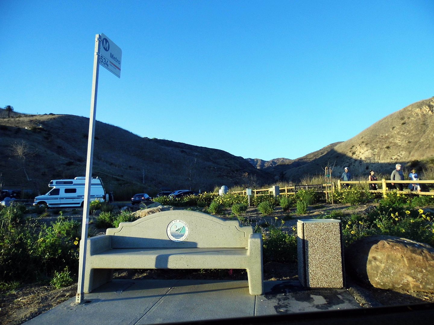 circa 2021
The trailhead has been restored and improved, and Corral Canyon has reopened. Stay tuned for a full report.
Photo Essay: Things We Lost In the Woolsey Fire 2018 (Before Photos)
Photo Essay: Corral Canyon Loop
No comments:
Post a Comment