Search

Showing posts with label UrbanExploration. Show all posts

November 18, 2023

Photo Essay: Tracing the Remains of the "Gateway to Southern California" at Cajon Pass

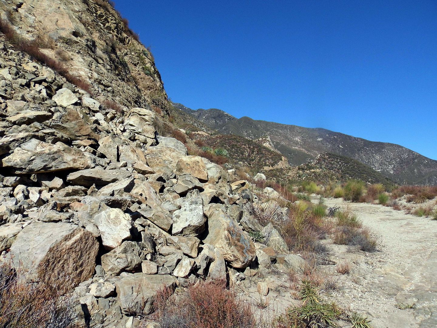
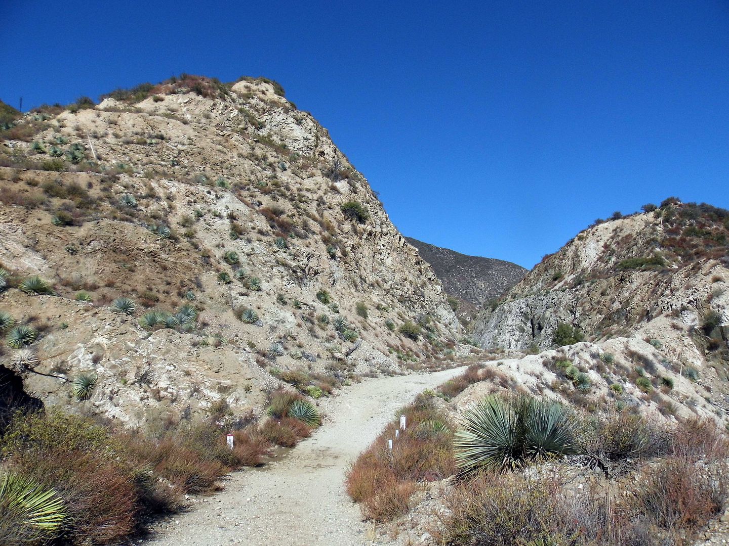
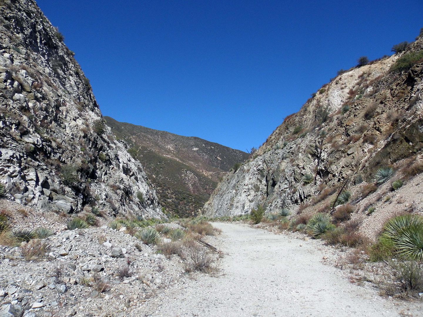
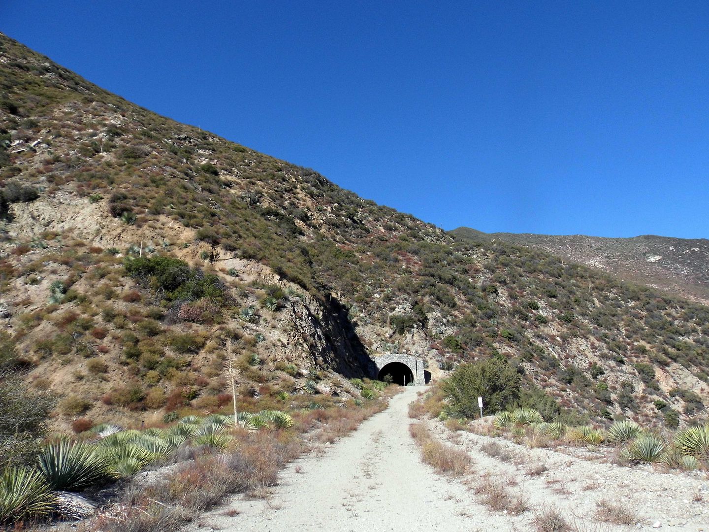
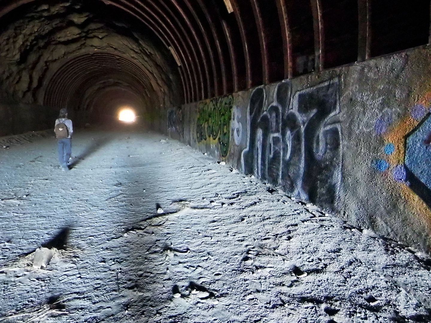
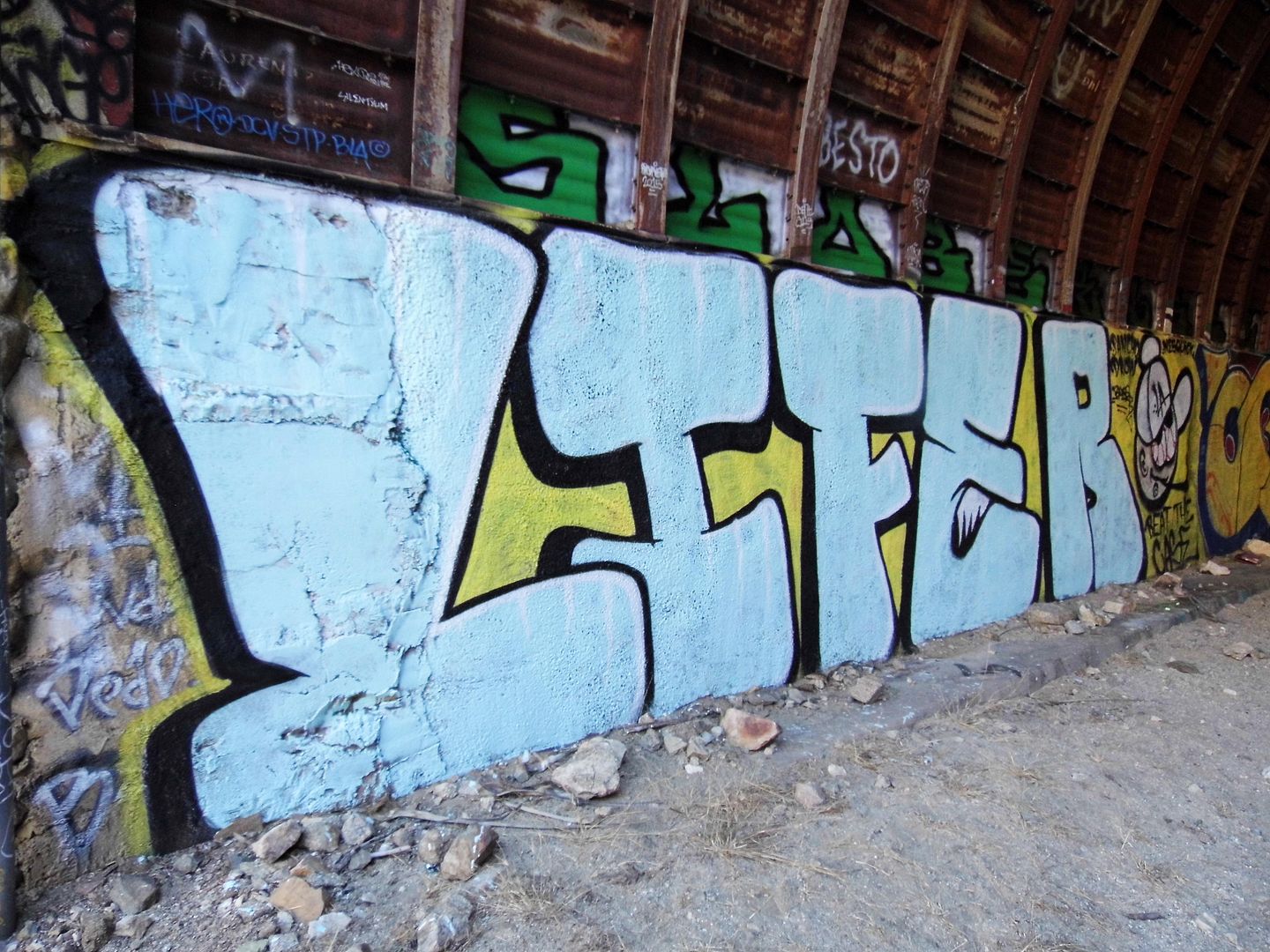
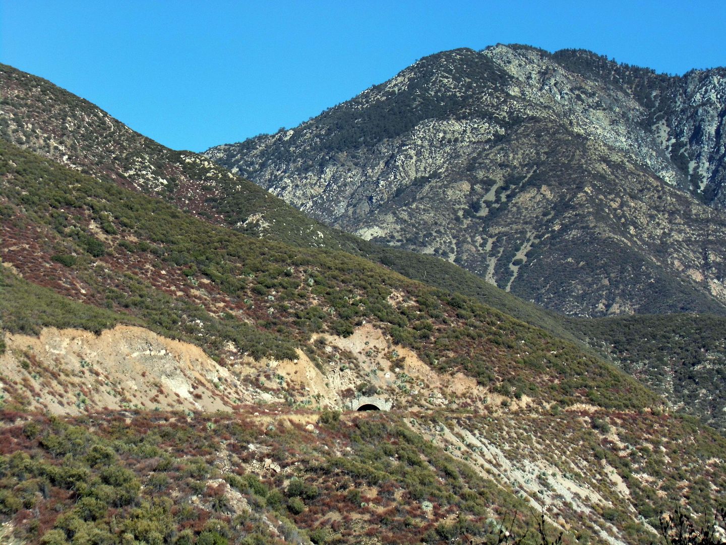
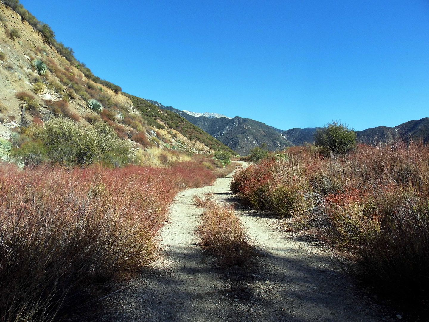
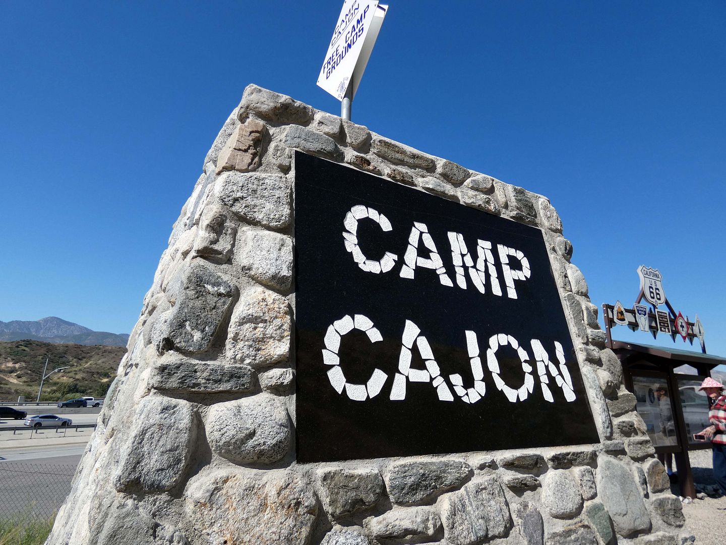
"I'm going to take a tour of the former Camp Cajon," I told my friends, when they asked why I had plans in the Inland Empire. 

"What was it?" they asked. 

"I'm not sure, so I guess I'll find out!" 
 

May 28, 2023

Photo Essay: Catalina Island's Miniature Hollywood Bowl, Abandoned

I first discovered that there were some ruins ripe for exploring on Catalina Island thanks to a KCET video on the former Island Mountain Railway, built by the Banning brothers who owned Catalina Island at the time. (You can watch the video at the bottom of this post.)

The funicular connected the town of Avalon to Pebbly Beach—which was necessary because Pebbly Beach Road hadn't been built yet. 

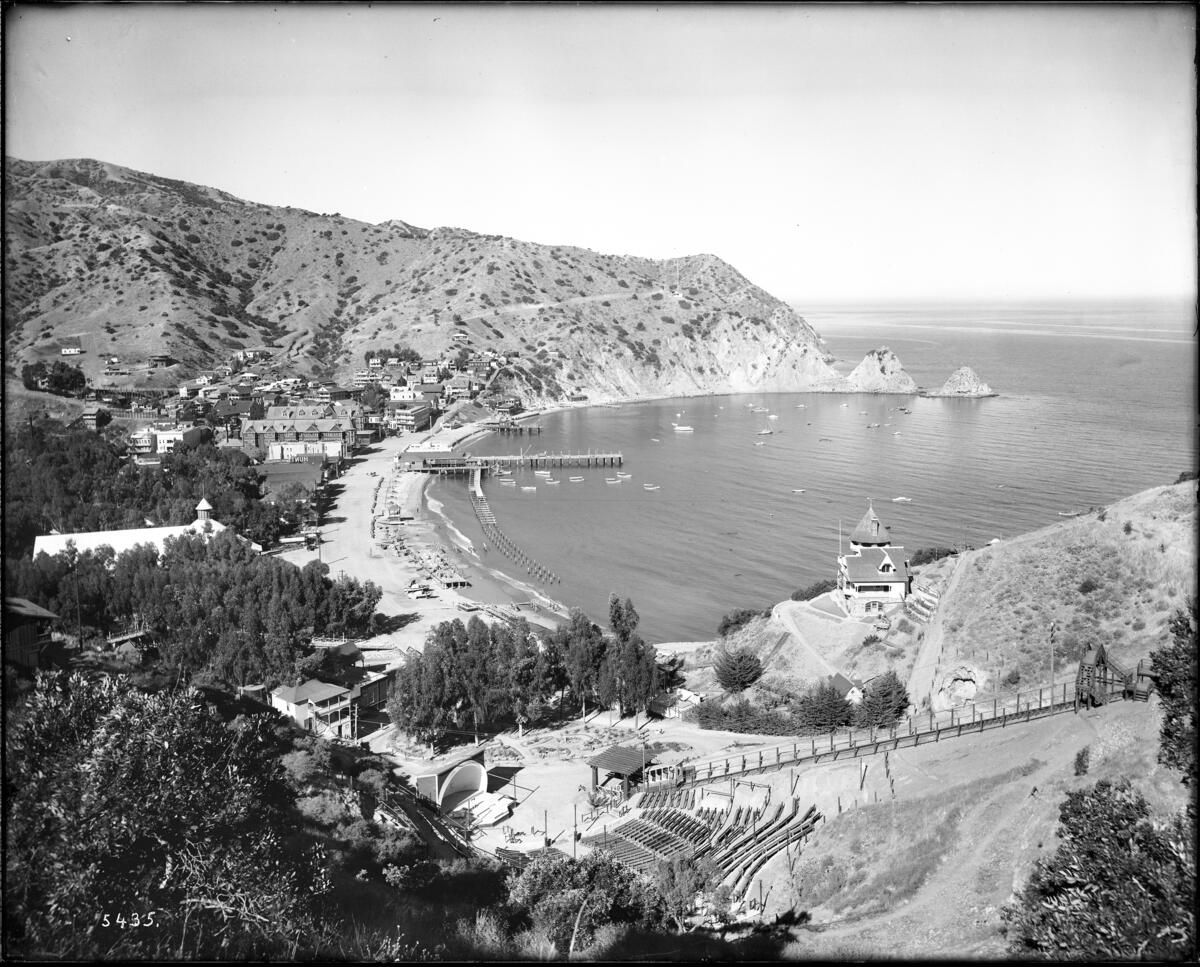
circa 1914 (Photo: California Historical Society, via USC Digital Libraries) 

I still haven't made it Buena Vista Point—where a Swiss chalet-style power house for the incline railway attracted tourists to Mount Buena Vista Park, at what was also known then as Avalon Summit.

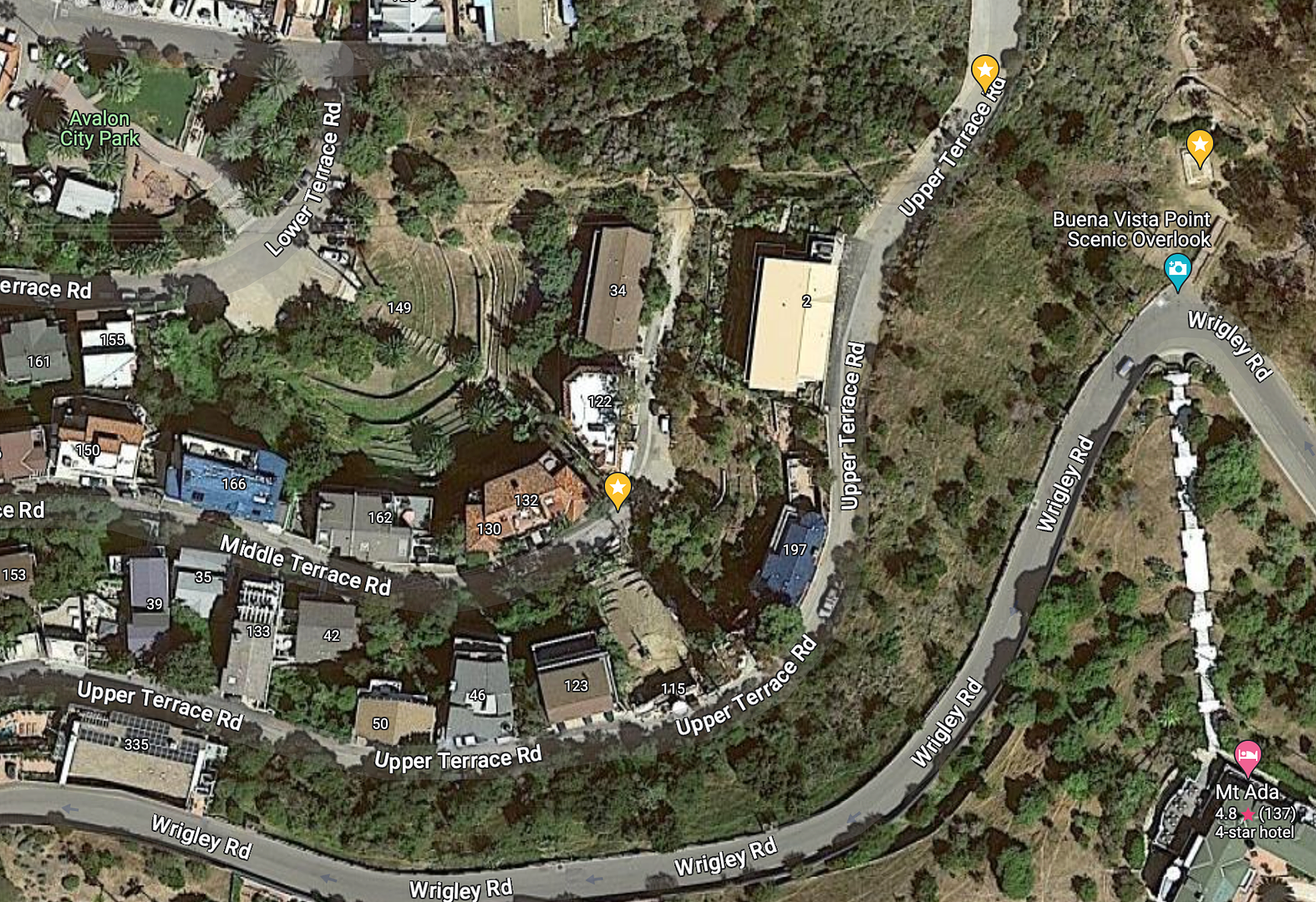
Google Satellite view

There's apparently a concrete foundation and maybe some other rusty ruins left up there. But there's something else that can be seen, farther down the hill, right next to where one of two funicular cars used to run along the west side of the hill: the old Greek-style amphitheater. 

October 14, 2022

Photo Essay: Woolsey Fire Recovery Still Continues With the Reopening of Peter Strauss Ranch (Without Its Ranch House)

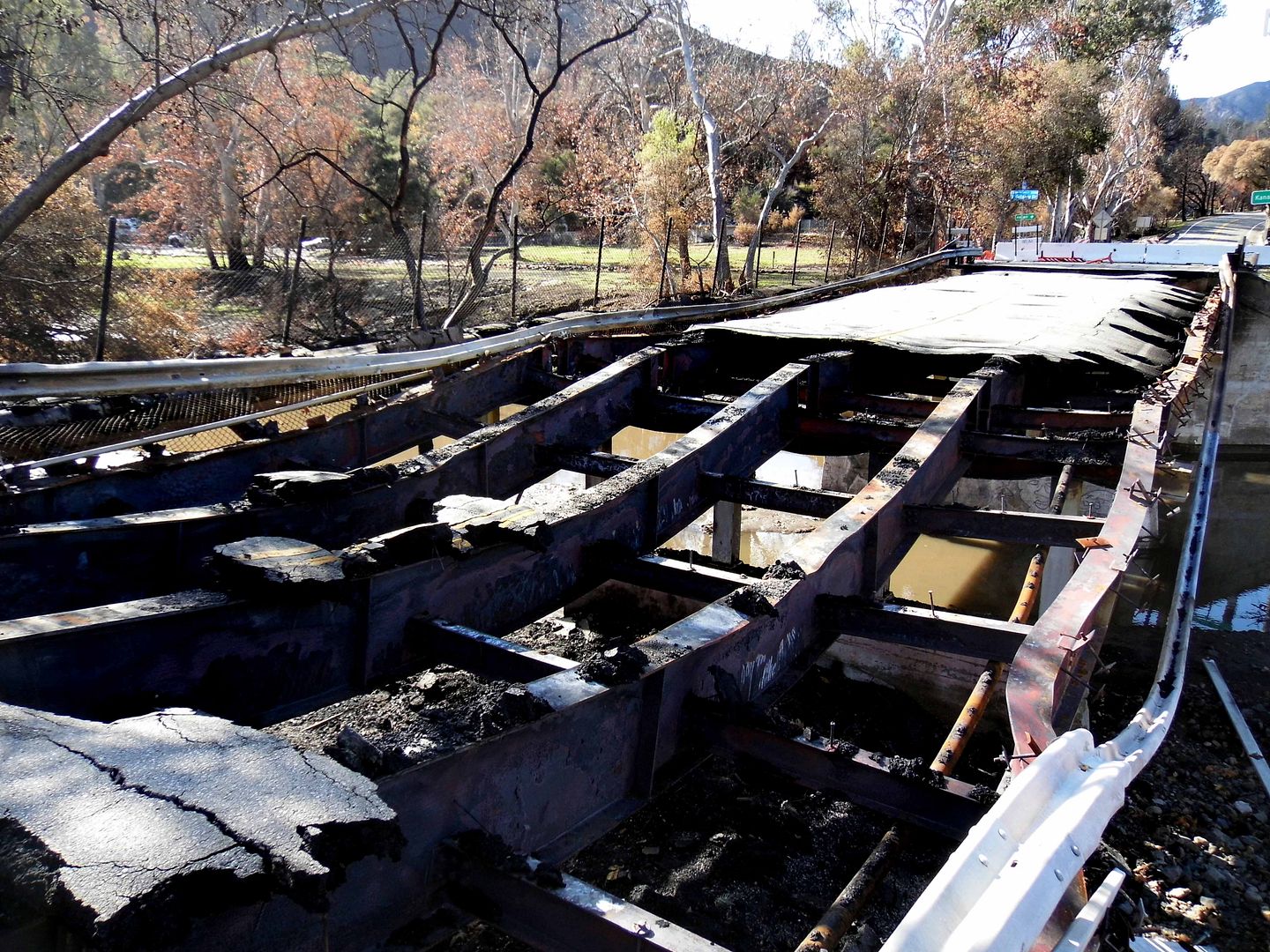
The last time I tried to check on Peter Strauss Ranch—one of my favorite places in LA—I couldn't get anywhere near it because the November 2018 Woolsey Fire had destroyed the Mulholland Highway bridge you'd normally have to walk across to get to it from the parking area.

 
That was January 2019. 


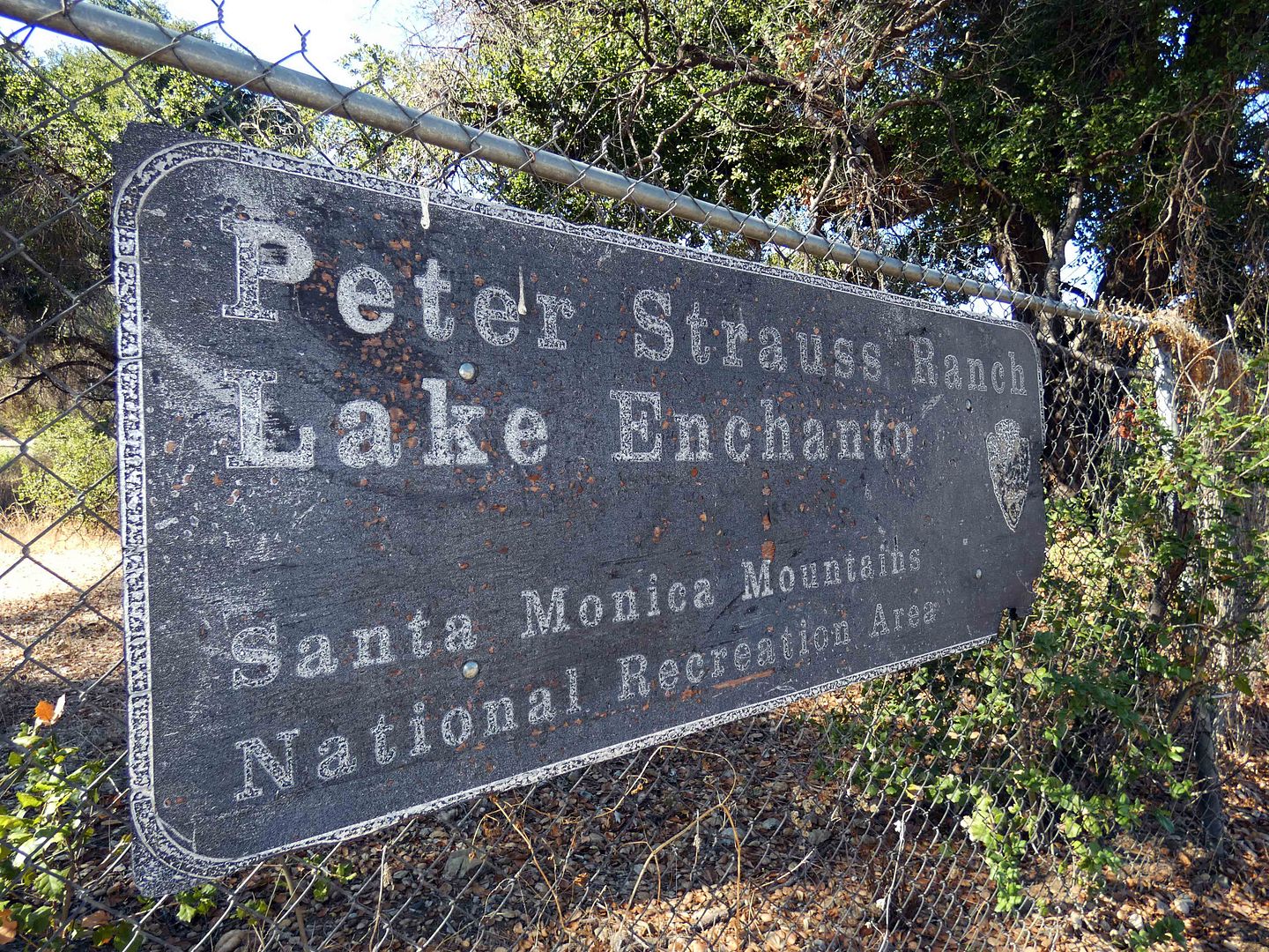
But the National Park Service had announced that the ranch—part of the Santa Monica Mountains National Recreation Area—had finally reopened in June 2022, so I went back a couple of weeks ago. (They still haven't replaced the park sign, which was burned to a crisp.)

August 27, 2022

Virginia & Truckee Railroad Once Again Rolls Out of Virginia City, Thanks to Rebuilt Tracks and Tunnels

My first trip to Virginia City, Nevada coincided with the 150th anniversary celebration of the Virginia & Truckee Railroad, a.k.a. "Queen of the Short Lines"—so while I was in the area, I wanted to make sure I could experience as much of the V&T as possible. 

After having ridden a railbike from Carson City towards Virginia City (where a train also runs, though its schedule didn't mesh with mine), I headed to Virginia City to ride a special train towards Carson City to experience the rail from the other end. 

But I had some time to kill before my train departure, so I started snooping around town. 


February 12, 2022

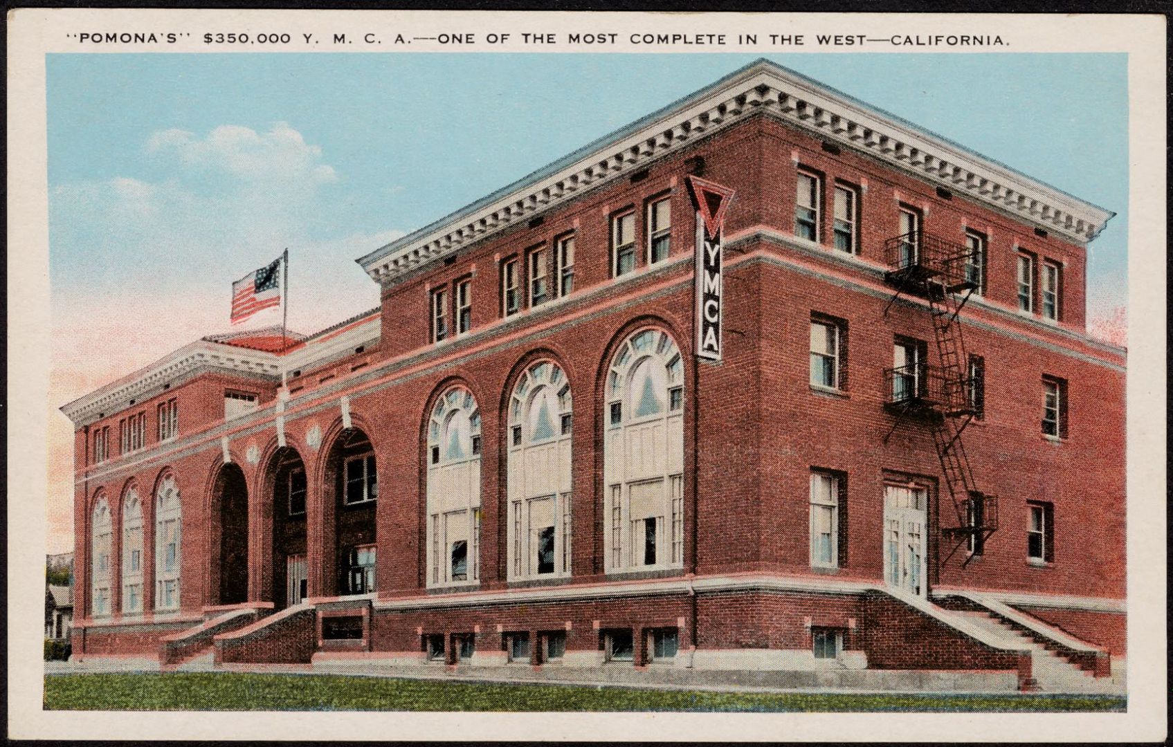
Photo Essay: A Former YMCA in Pomona, California Is Getting Ready to Rise Once Again, Ahead of Its 100th Birthday (Updated for 2023)

[Last updated 11/7/23 10:06 AM PT—changed name of the new development and added link to in-progress photos.]

In 2018, I had the opportunity to explore the historic YMCA building in Pomona, California, as renovation efforts had begun to convert it into an 80,000-square-foot mixed-use space called The Village Pomona The Union on Garey. 

Postcard image: Springfield College Archives and Special Collections, Cliff Smith YMCA Postcard Collection [CC BY-NC-SA]

Four years later, the project still isn't complete—even though it was projected to open in early 2019. 
 

So, instead of waiting to do a "before and after" photo essay, I thought it was time I finally shared the "before" look. 

November 06, 2021

Photo Essay: Descending 185 Feet to Join An Elite Membership of Tunnel Explorers

I've already posted about a couple of adventures I've had recently with Rim of the World Historical Society, based in the mountain communities of the San Bernardino Mountains. 

But I haven't shared why I joined the historical society in the first place—and it starts with Huell Howser, the local celebrity of regionally-focused TV shows that highlight various California landmarks and attractions. 

One of the sites he visited for one of his episodes of California's Gold was Lake Arrowhead, California—not just the town, but specifically the lake. 

And specifically part of the manmade lake's infrastructure—starting at a stone structure that contains a 19th-century elevator down a 185-foot vertical shaft that leads to "Tunnel #1." 


October 27, 2021

Photo Essay: A Mountaintop Religious Enclave Founded By Hindu-Born Christian Yogi, Prince Mozumdar

I'd been wanting to visit the Pillars of God (below) and Mozumdar Temple for years now—but I'd been wary of just driving up there, as I'd heard that it's fiercely guarded by its private owner and that I'd need a 4WD to get to it. 


August 17, 2021

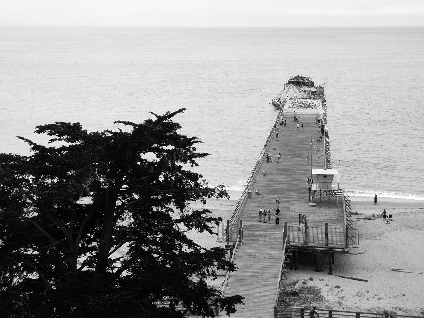
Photo Essay: S.S. Palo Alto, the Concrete Oil Tanker-Turned-Party Ship That's Being Overtaken by the Pacific Ocean

"The Cement Ship"—formerly known simply as "The Ship"—has become a symbol of the unincorporated town of Aptos, California (in Santa Cruz County) and its Seacliff State Beach in the 90+ years since it first arrived. 

It's actually a misnomer, because the ship isn't made of cement—but steel-reinforced concrete (a.k.a. ferroconcrete), which the WWI-era Emergency Fleet Corporation deemed necessary for a small handful of ships built for the war effort during a shortage of both steel and lumber circa 1917. 
      circa 1920, Oakland (Photo: Naval History and Heritage Command, Catalog No. NH 799, Public Domain)

Only problem was that the 420-foot oil tanker, built by the San Francisco Shipbuilding Company at the U.S. Naval Shipyard in Oakland, wasn't finished and ready to launch until 1919—and by then, the war was already over.

 
And now, 102 years later, that ship—the S.S. Palo Alto—is falling apart before our very eyes. 

June 27, 2021

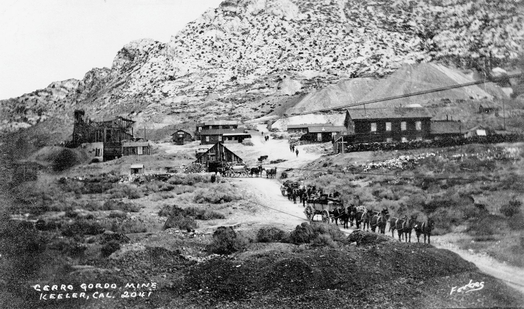
As Cerro Gordo Ghost Town Rises From the Ashes of a 2020 Fire, It Turns Away Visitors

I almost didn't write about this adventure because it felt like a failure. But I guess it was actually a partial success. 

And since I'm not exactly sure when I'll be able to ever complete the mission, I've decided not to wait—and share what I've got now, even though I found it a bit disappointing. 

But let me back up for a moment. 

In a constant boom-bust cycle that lasted nearly 100 years, the mining town of Cerro Gordo—in the Inyo Mountains of the northern Mojave Desert, near the 395 to the west of Death Valley—produced silver, lead (galena), and zinc ore at one time or another between 1866 and 1957.

I can't remember when I first heard of it. But I know I first tried to go sometime after 2013, after I'd begun working as a field agent for Atlas Obscura and thought that it would make for a great—albeit far-flung—excursion for our group.


June 09, 2021

Photo Essay: Secret Site of the 'Mystery Mine' Mill in the Verdugo Mountains—Revealed!

Back in 2016, I'd taken a hike up Hostetter Fire Road with the Historical Society of the Crescenta Valley to view the remains of a former graphite mine operation up in the Verdugo Mountains of Los Angeles.  

But there wasn't actually that much left of the former Hostetter Mine to see up the hill. 

There was, however, a significant mill site that remained down the hill—only it was so hidden in the underbrush and the overgrowth, I couldn't get to it after lagging too far behind the group. 


Five years later, I had another chance to go see it, after some volunteers had bushwhacked their way through and tried to re-establish a trail to it. 

April 10, 2021

Photo Essay: Camp Iron Mountain, The Best-Preserved WWII-Era Training Camp in Gen. Patton's Desert Training Center

About 50 miles west of the Arizona border, 32 miles north of the town of Desert Center...


...north of the juncture of Highways 62 and 177...


...is one of the best-preserved sites of General George S. Patton’s training efforts in the high desert during World War II. 

February 15, 2021

Photo Essay: The Plowed Ruins of a Private Malibu Enclave at Nicholas Canyon Beach (Updated for 2022)

[Last updated 7/9/22 3:32 PM PT—Architect Harry Gesner's death noted]

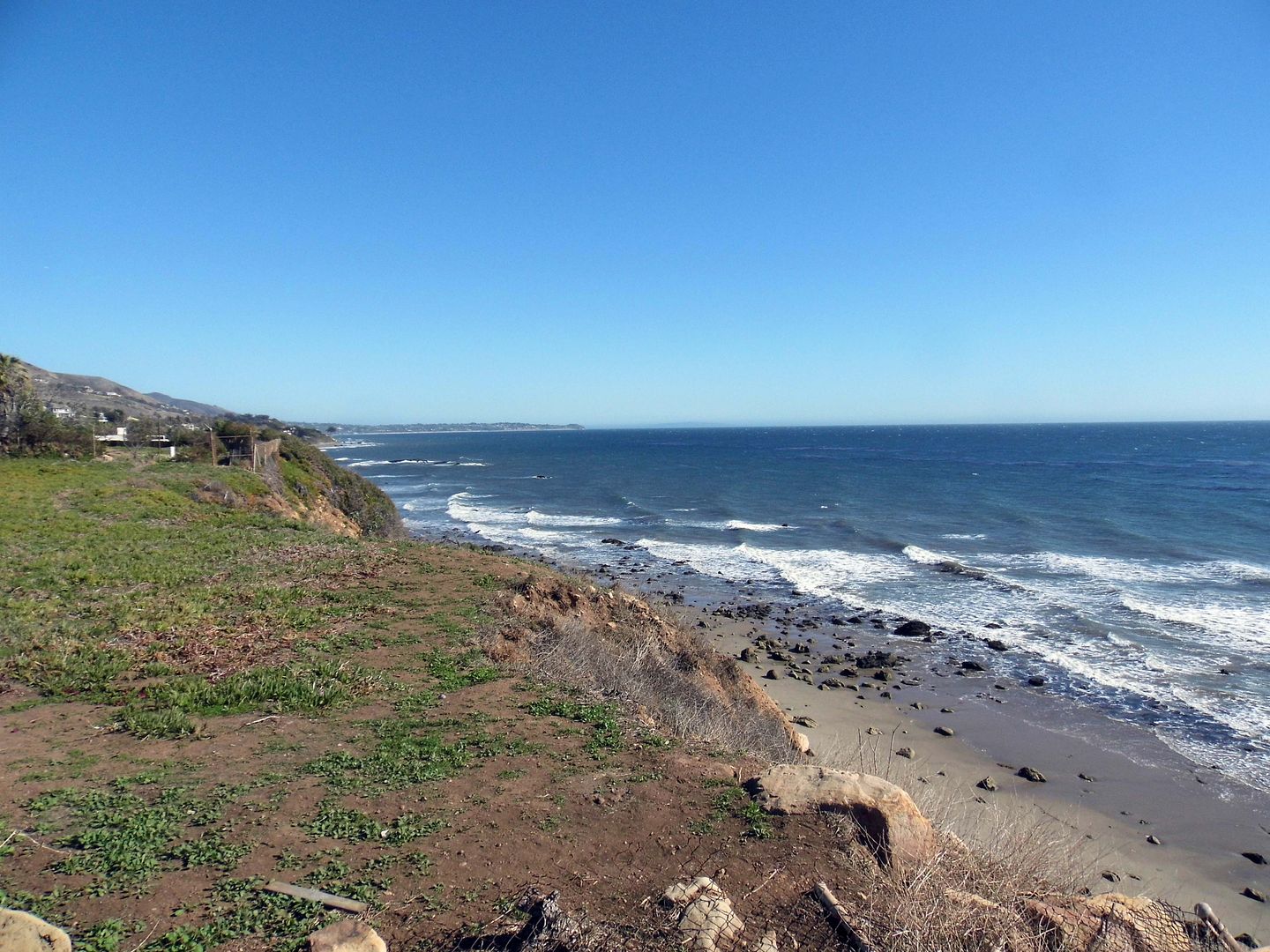
We were in search of some architectural treasures in Malibu—and my friend had read that the best way to get to them would be from Nicholas Canyon Beach. 
    
We both shrugged, neither one of us familiar with the county-run beach—or the other treasures we were about to find. 

November 15, 2020

Photo Essay: The Abandoned Project to Save Angelenos from Nuclear Fallout (a.k.a. "Tunnels to Nowhere")

A few years ago, a friend posted about a hike he called the "Tunnels to Nowhere"—and I knew immediately that I had to go. 

But there's a limited season for visiting this particular area—when it's not too hot and sun exposed, and not too wet and wintry. 

And of course most of my weekends have been filled with other activities, save for the last 8 months of the pandemic. 

That being said, I can't remember the last time I went on a proper hike.

I'd gotten it in my head, though, to spend a pandemic weekend with a friend off the beaten path in search of abandoned tunnels along what some people call the "Road to Nowhere." I'd calculated it at around 5 miles roundtrip and 750 elevation change. 

That would've been absolutely doable for the 2010 version of me. The 2020 version of me? Not so much. 

Spoiler alert: I survived the hike. I even completed the whole thing. But not without crying. 

Still, in the end, despite my tears and blisters and bloody socks and embarrassment, it was worth it. 

 
The drive to the trailhead follows the same route as to the Bridge to Nowhere trailhead—following State Route 39 a.k.a. San Gabriel Canyon Road north and turning onto East Fork Road, so named for the eastern fork of the San Gabriel River.

 
But instead of continuing down East Fork, past retaining walls and drainage channels...


...we turned off to tackle the hairpin curves along Shoemaker Canyon Road, named after miner Alonzo Shoemaker, who prospected the canyon during the mid-1800s. 

 
The sign at the juncture warns that Shoemaker Canyon Road is "Not a Through Street"—and true to its word, we hit a locked gate where the pavement ended and parked our cars in the dirt turnout. 

 
This area of the San Gabriel Mountains is part of what was designated in 1984 as wilderness area to preserve bighorn sheep—the Sheep Mountain Wilderness area. 

 
But before conservationists got ahold of it, the Los Angeles County road division set its sights on it for an entirely different purpose. 

 
They were going to blast through the middle of nowhere to create an evacuation route that connected LA with Largo Vista in the Antelope Valley. 

 
It was during the height of the U.S. Cold War effort to prepare in case of a nuclear bomb attack—which might explain why Shoemaker Canyon Road is sometimes called "Armageddon Highway." 

 
Work on the civil defense project, which was supposed to extend for 25 miles, started in 1956. But by the time construction officially stopped in 1969, only about 4 miles of it had been finished.


Creating all those road cuts through solid rock proved to be too expensive after county budget cuts—and because much of the work on this dangerous terrain was being done by unskilled inmates from the county sheriff's Detention Camp 14, progress was slow-going. 

 
Over the course of its 16 years of construction, the Department of Corrections' involvement in Shoemaker Canyon Road earned it the nickname "Convict Road." 

 
In the end, what probably doomed the project was how the interest in civil defense programs (like fallout shelters and such) waned during the Nixon administration—though it would be another 20 years before the "official" end of the Cold War and the fall of the Berlin wall. 

 
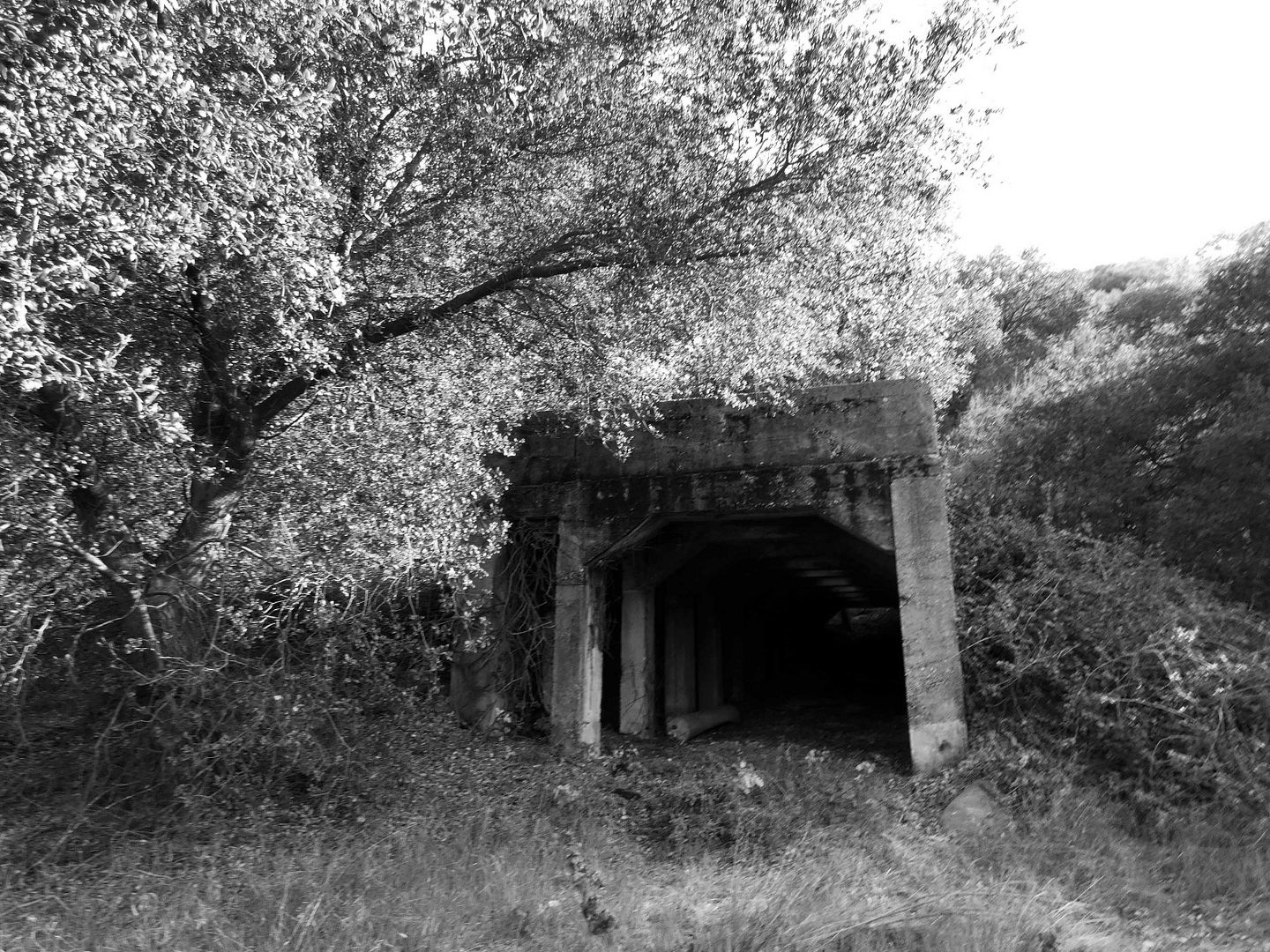
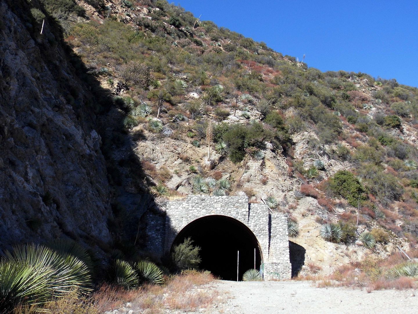
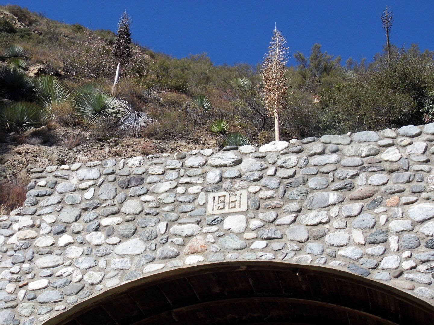
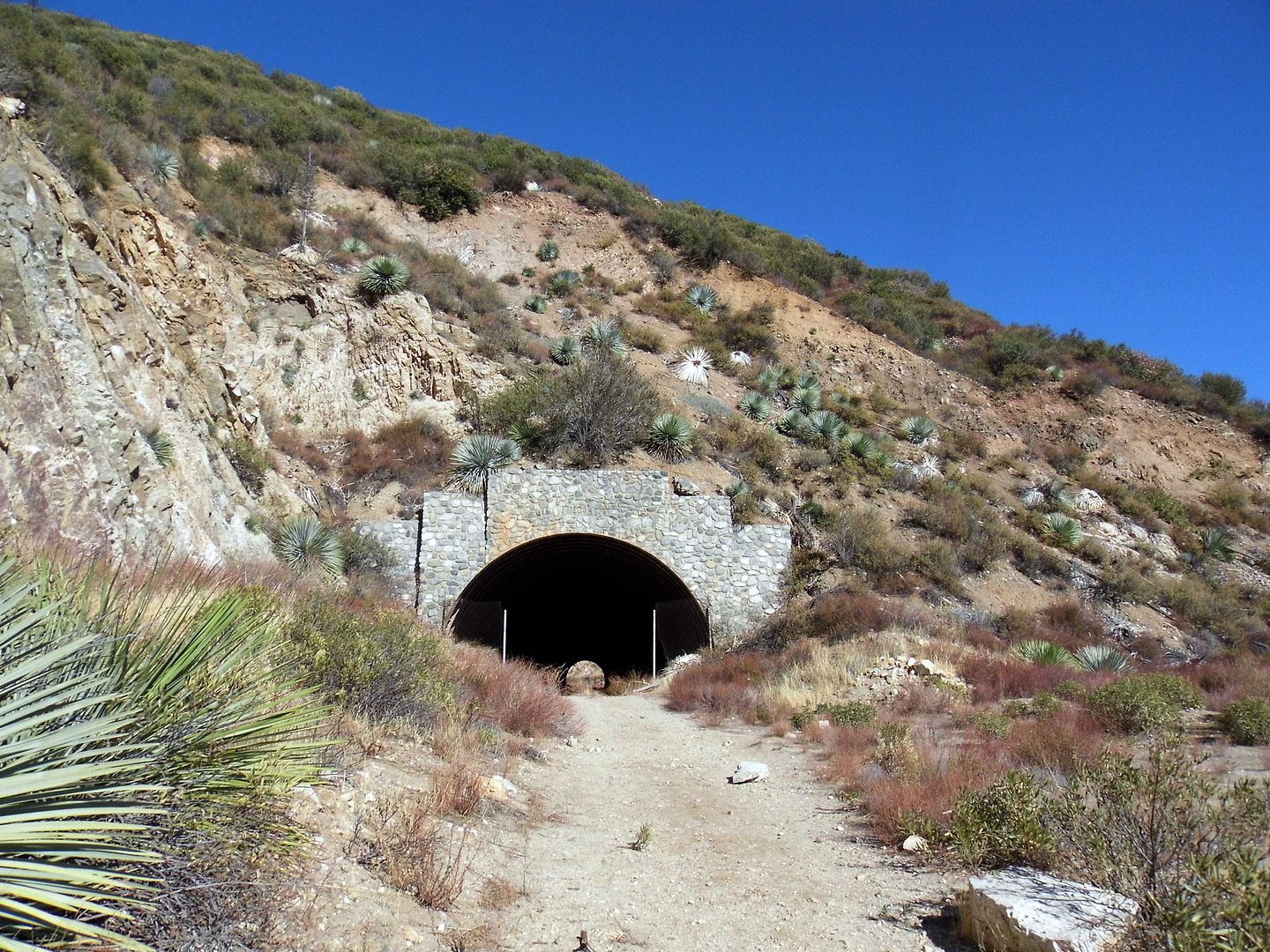
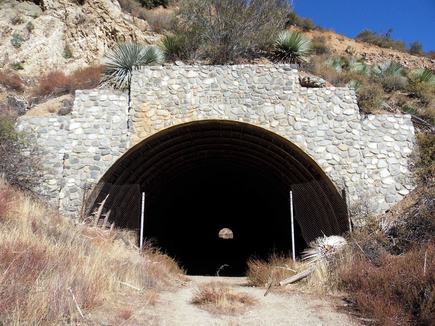
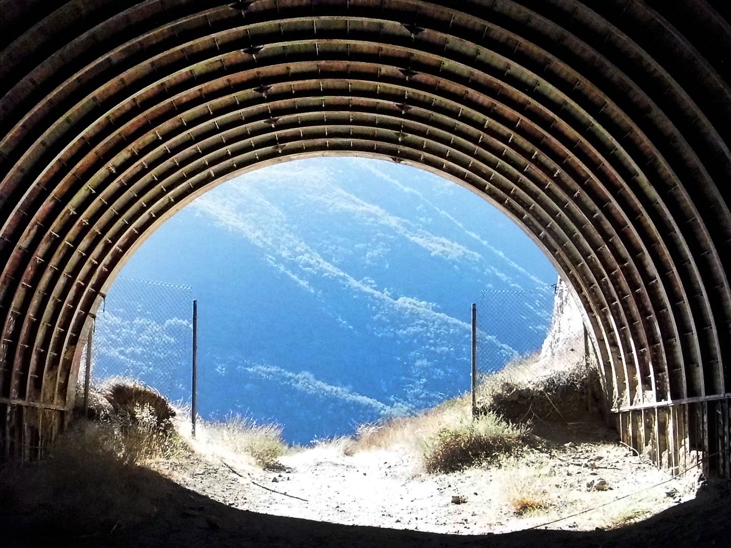
There were two tunnels completed between 1956 and 1969...

 
...the first as early as 1961. 

 
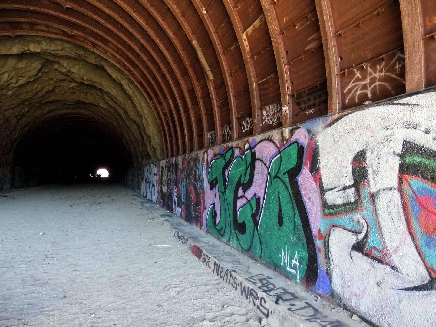
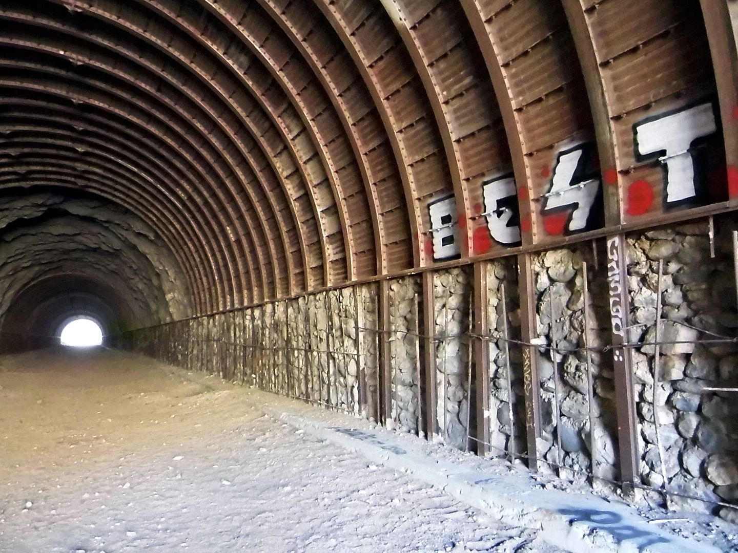
Both tunnels are similar in construction...

 
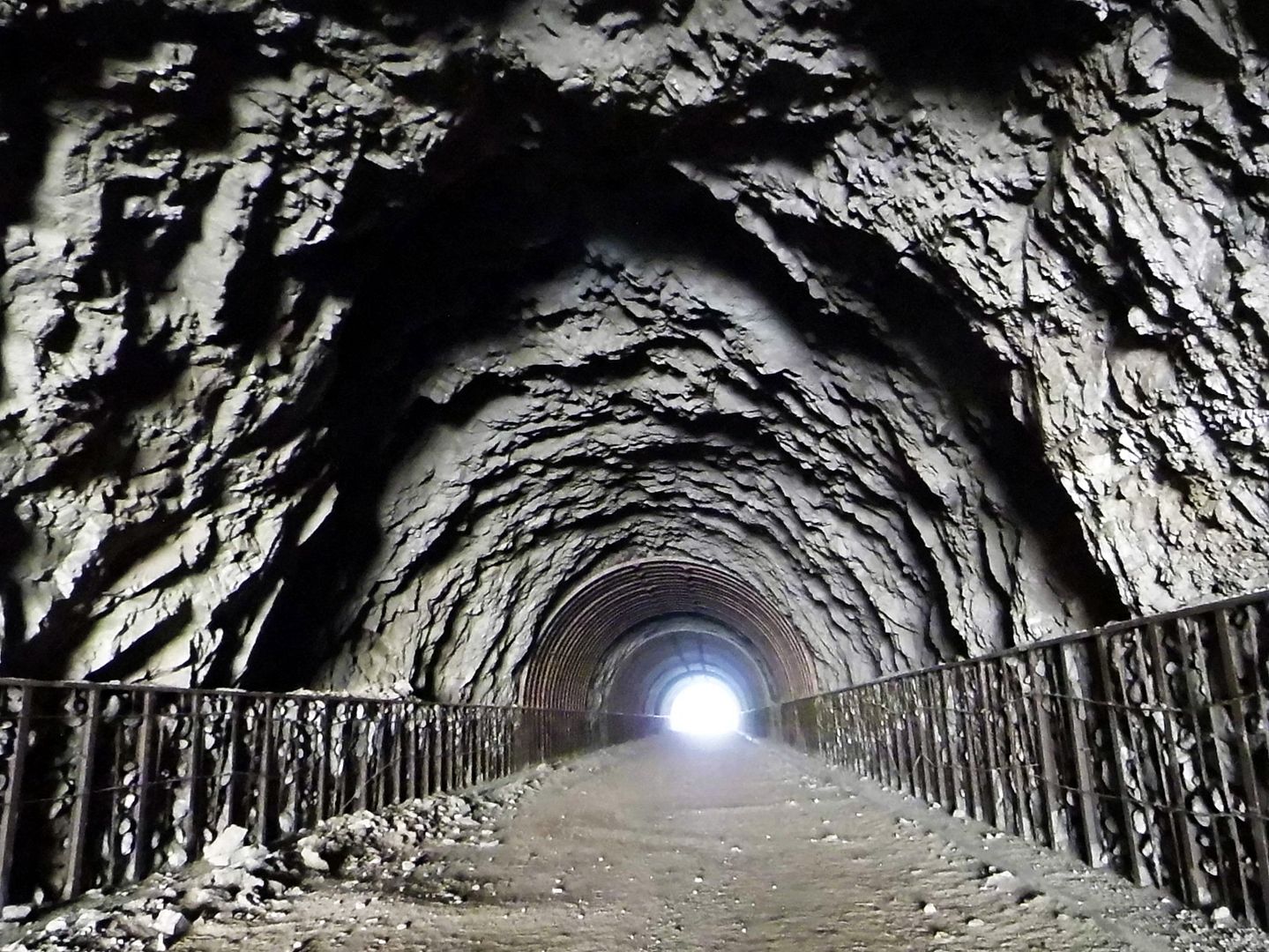
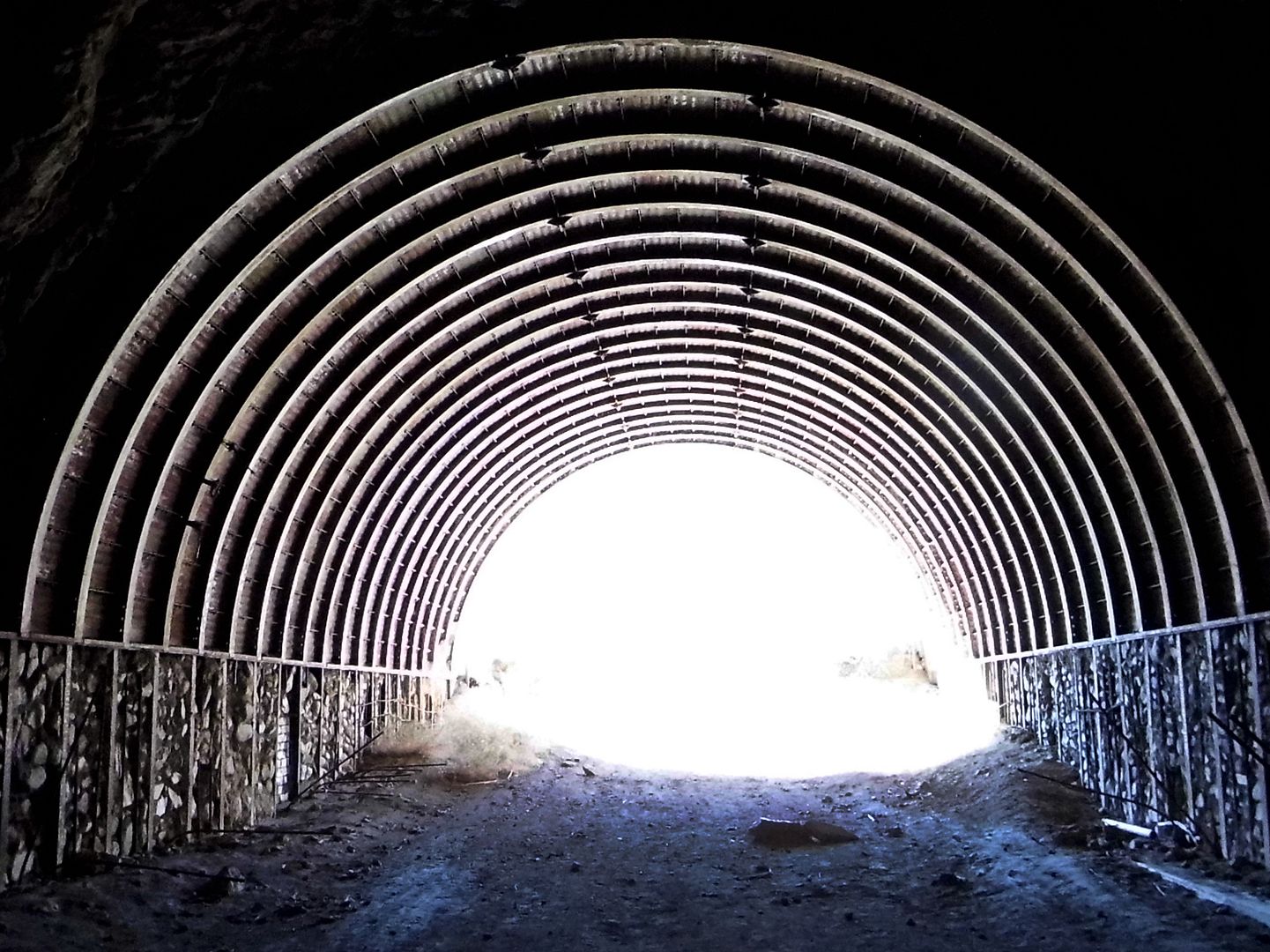
...including interlocking steel beams and raw, blasted-through rock...

 
...although the first one is longer than the second. 

 
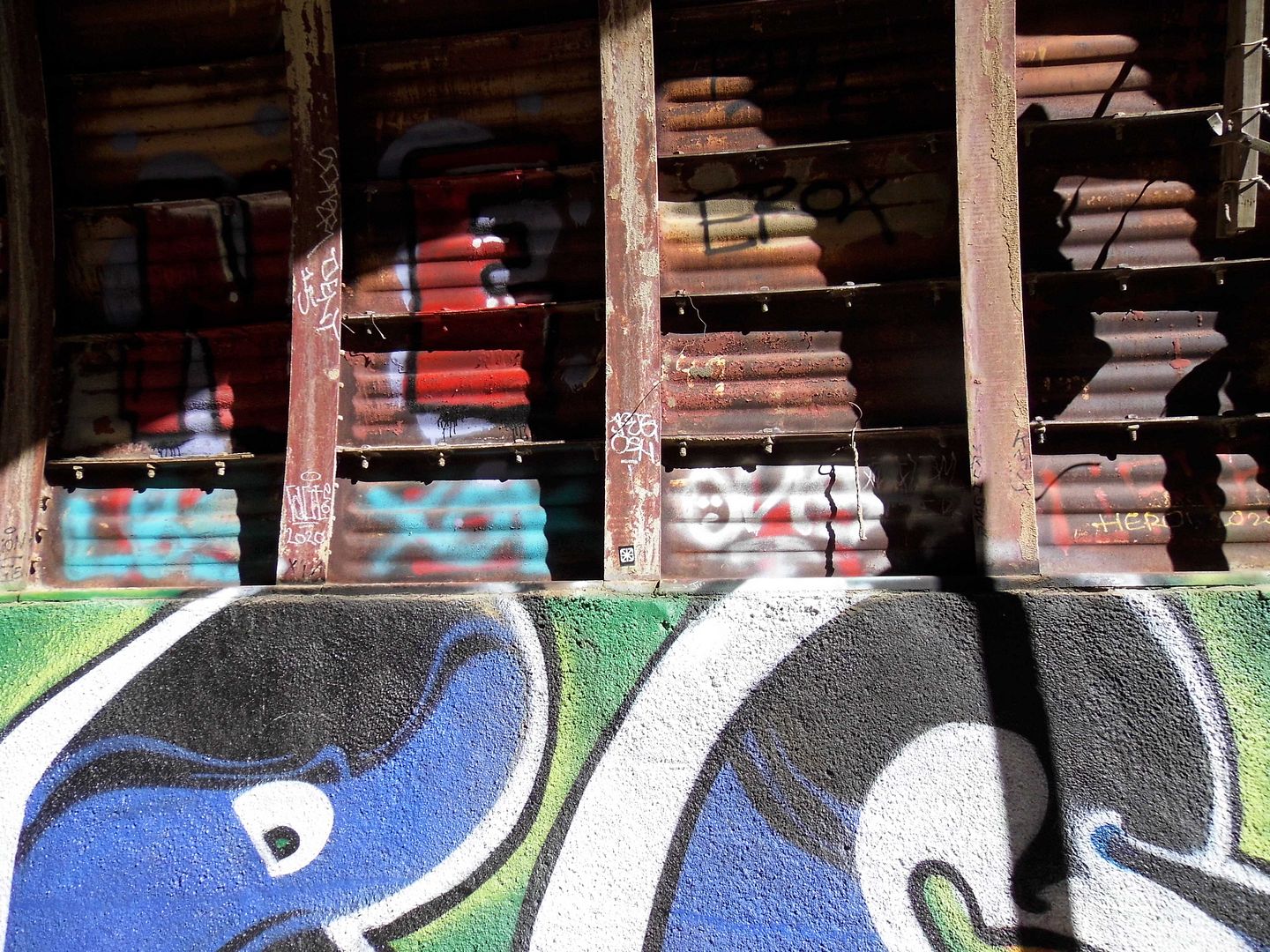
Taggers have made their mark on both abandoned tunnels, as taggers do. 

 
The path to the second tunnel was never bridged...

 
...so to get to it, we had to trudge along a horseshoe-shaped curve on foot. 

 
This later tunnel, circa 1964, marks the end of the hike...

 
...but of course we couldn't turn around before walking through to the very end. 

 
The second tunnel appears to be more unfinished than its predecessor, with rebar holding in some exposed piles of rocks and cinder blocks. 

 
It was cool and breezy in those tunnels—not dark enough for a flashlight or headlamp, but sheltered enough to make us feel like we were underground, though we could see daylight at both ends. 

 
The completionist in me was relieved to see everything there was to see, especially considering I hadn't been sure I could even make it to the first tunnel. 

 
But as soon as we hit the wilderness on the other side, where the road just kind of ends unceremoniously, I knew we still had to double-back and retrace our steps back to our cars. 

It was discouraging to have such a hard time on what would be widely considered a relatively easy hike. But if I never hike again, I'm glad that this will have been my last. 
September 26, 2020

Photo Essay: Pasadena's Vacant Hospital of St. Luke, Patron Saint of Physicians, Doctors, and Butchers

Its a sad but common story in Southern California. 

A beautiful old hospital can't keep up with increasing demand for beds or modern amenities. It no longer makes enough money, so it stands vacant—while patients needing care have to travel farther to bigger hospitals with less personalized care. 

In the case of the circa 1930 Cedars of Lebanon Hospital, it gets taken over by the Scientologists.

In the case of the circa 1924 Linda Vista Hospital, it provides housing to low-income seniors. 

In the case of the circa 1888 land donation to the Veterans Administration in Westwood, its buildings are still vacant. 

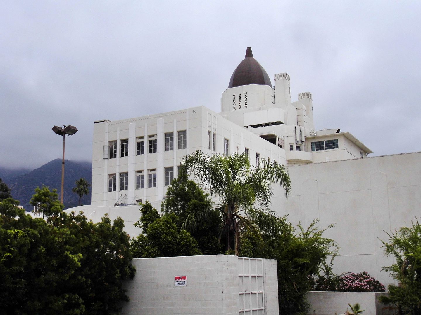
And one of the first hospitals in the San Gabriel Valley—St. Luke Hospital of Pasadena, circa 1933—has been used for nothing but film shoots for so long, it couldn't even be revived to care for COVID-19 patients when we were facing the prospect of a bed shortage. 

As of right now, there's no plan to use St. Luke's for anything other than a film location. 

But it deserves notoriety for more than as the setting for movies like Kill Bill, Million Dollar Baby (where it stood in for the Serenity Glen Rehabilitation Center) and La La Land—or TV shows like Grey's Anatomy, Dexter, and Scream Queens. 

 
St. Luke's was founded as a non-profit, Catholic hospital by the Sisters of St. Joseph of Orange—a congregation of nuns whose mission of helping the poor and sick dates back to the 17th century in France. 


It wasn't just one building—but an entire enclave or campus of buildings that continued to grow into the decades that followed its original dedication. 
 
Postcard image circa 1960s: eBay

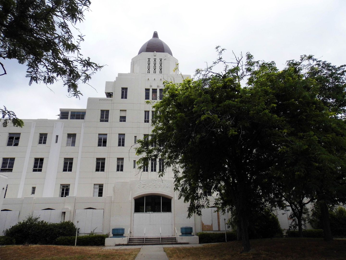
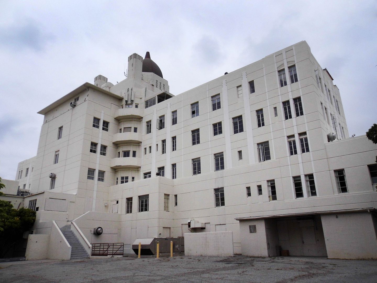
The original monolithic hospital was designed in the Moderne style by Canadian-born architect Gene Verge, Sr. At seven stories high and 74,000 square feet, it was exemplary of modern concrete construction at the time. 


Although at some point it was seemingly white-washed, it remains a postcard-worthy landmark—even on a gloomy day. 


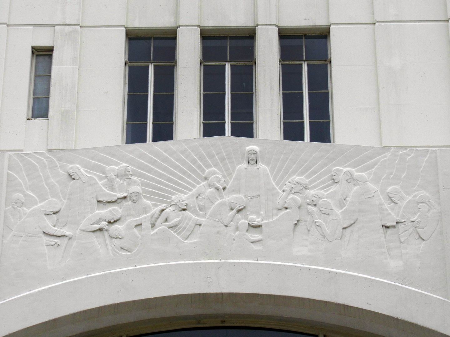
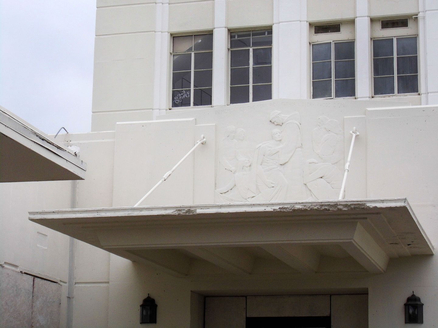
Cast concrete bas-reliefs depicting the life of Jesus beckon visitors to take a closer look...


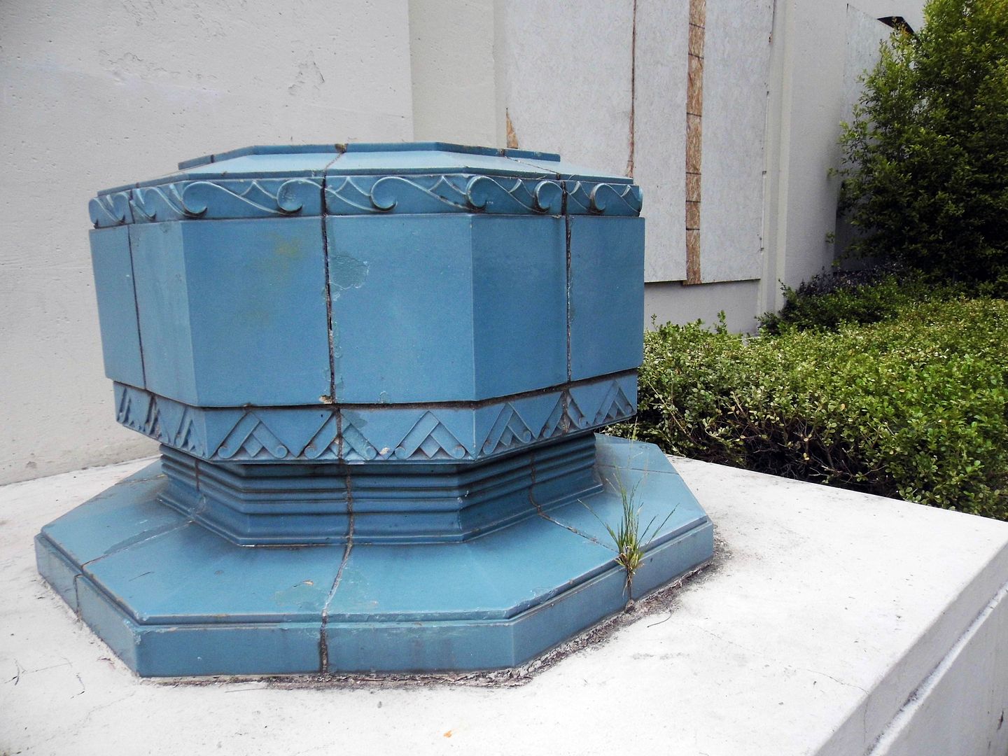
...as do two planters clad in turquoise-colored terracotta tile, ornamenting each side of the front door with chevrons and wave patterns. 
 

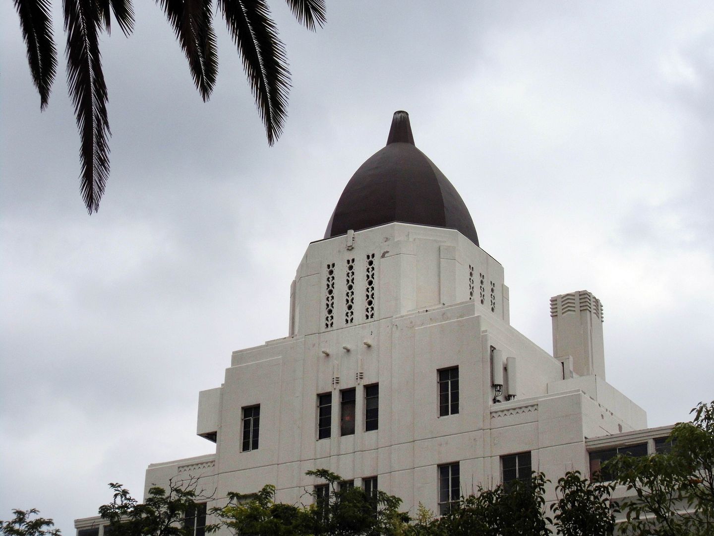
The beacon for most Pasadena locals is the dome (or cupola), which was considered Spanish-style when it was covered in terracotta tiles—even when a neon cross was installed on top of it in 1965. But now, the current lead- and copper sheeting-clad dome dates back to only 1997—when it was replaced in the wake of the 1987 Sierra Madre Earthquake. 
   

Through the 1980s, St. Luke's expanded to include five wings and annexes...
      

...including emergency and acute medical care, surgical services, and obstetrics/a birthing ward. 


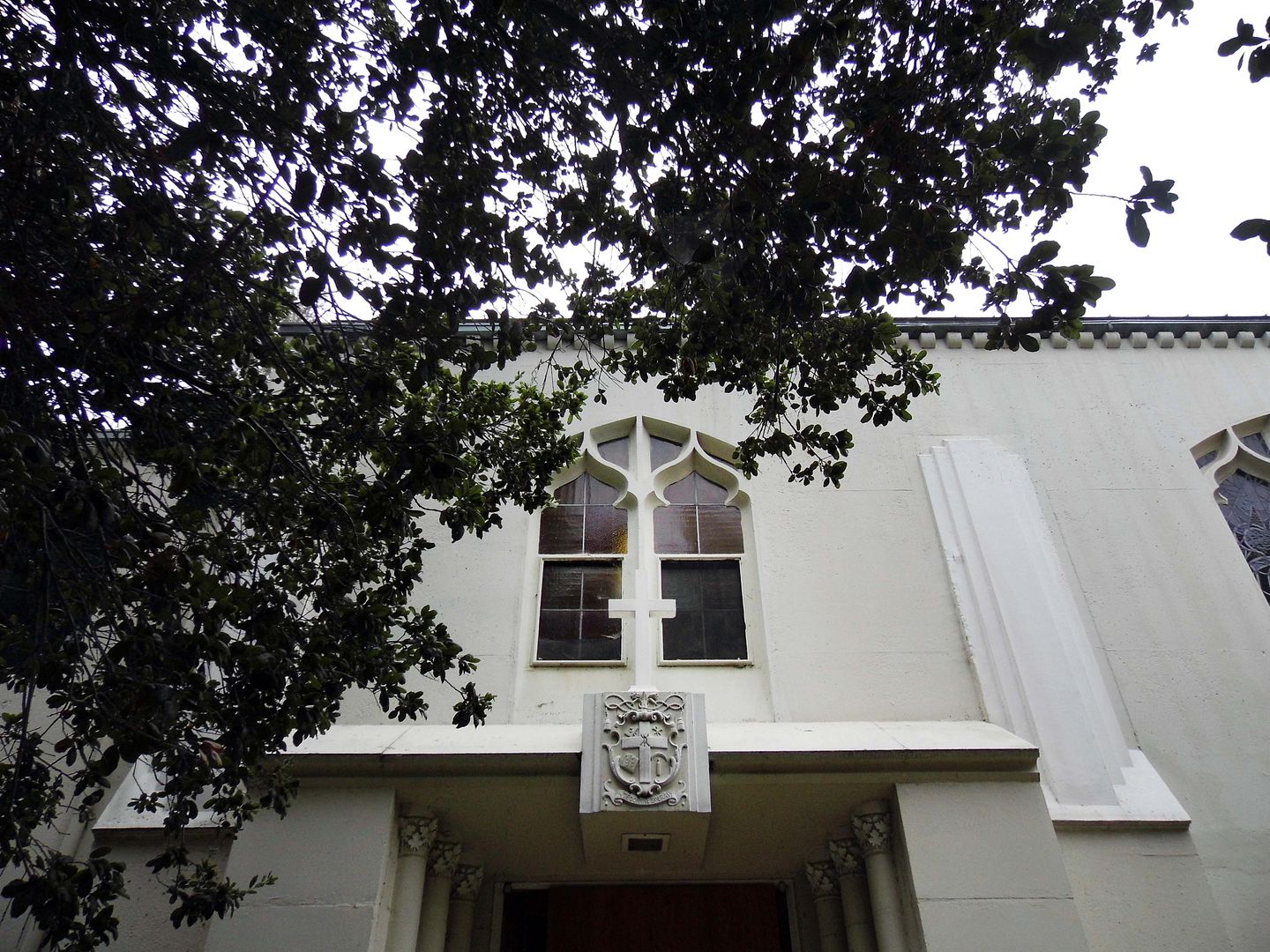
But none of them were nearly as architecturally significant as the Gene Verge-designed additions of the mid-1940s, which included a chapel (replete with stained glass windows, still extant) and a convent for the nuns. 
 
  
The 1980s, however, marked a huge change in the historical trajectory of St. Luke's—and not just with its rebranding as the St. Luke Medical Center. 
  

In 1985, the founding Sisters—and therefore, the Catholic Church— sold it (with the Vatican's approval to the non-sectarian, for-profit, private firm Summit Health Ltd. 


In 1986, the Los Angeles Times reported that the hospital was already "antiquated and inefficient" and "badly in need of renovations" to "correct the ravages of age."


In 1994, ownership transferred to OroNda Healthcorp, which was bought by Tenet Healthcare Corporation in 1996. Tenet closed the 165-bed hospital in 2002 and sold it a year later to Pasadena-based educational institute Caltech, which intended to use it for office and research space. 

When that didn't work out, Caltech sold St. Luke's in 2007 to Beverly Hills-based real estate developer DS Ventures, which attempted to convert it into an assisted senior facility while an opposing group pushed for an urgent care facility.

None of that has happened yet. 

And when officials visited St. Luke's to determine whether they could commandeer it during the pandemic, they discovered that the plumbing has been stripped out. (It's unclear whether that was intentional or the work of copper thieves.)

Presumably, the terrazzo floors and wide, winding stairways remain inside. I've yet to get in to confirm that one way or another. 

But I haven't lost hope. 

Fortunately, the Pasadena City Council declared St. Luke's hospital, convent and chapel a local Cultural Heritage Landmark in 2002—which offers it some, but not absolute, protection. 

Im the meantime, it's nice to imagine what it was like when the gardens were kept up and the lawns were manicured, the dome tiled and its cross all lit up. 

Drone video via Getty Images, for editorial use only

Related Posts: