Search

Showing posts with label AngelesNationalForest. Show all posts

January 10, 2025

Photo Essay: Things We Lost In the Fires (Palisades and Eaton Edition—Continuously Updated)

[Last updated 1/20/25 5:13 PM PT—Clarified status of Christmas Tree Lane and its model railroad in Altadena]
[Updated 1/13/25 10:04 PM PT—Added Mt. Lowe's Inspiration Point]

Los Angeles is currently on fire as it has never been on fire before. 

The Palisades Fire alone is almost twice the size of the island of Manhattan in terms of acreage. 

It seems like a new fire pops up every day. 

I've had two fires near me—a structure fire on the Sunset Strip in West Hollywood and a brushfire between Wattles Mansion and Runyon Canyon, the latter of which I could see from my building. That second one almost sent me evacuating, but I decided to pack up and wait it out until I was told to leave, rather than trying to get my cat in the carrier. 

I have been so very lucky so far. 

But all of Los Angeles is in mourning. And the grief has only just begun. 

Because I'm me, I've set my attention to documenting what's been saved and what's been lost. It feels productive. Maybe it's helpful.

I haven't been able to leave my apartment yet to go see anything. The air quality is not good for my weak lungs. I'd have too much separation anxiety being from my kittyboy during what feels like an apocalyptic time. (Besides, there are too many looky-loos with drones and cameras shooting photos and videos out there already, and they're getting in the way of emergency crews and the residents trying to go and check on their own homes.)

So, I'm keeping tabs on things remotely for now. From what I've seen on the internet and the local news, I'm not sure I'd want to see any of this in person. 

So here are some of the major updates as I know them—particularly about places I've documented before and was pretty familiar with, so I can confidently report what's going on with them.

The first conflagration to erupt, the Palisades Fire, first raged through the Pacific Palisades community of Los Angeles. It's wiped out entire residential neighborhoods, a commercial district, and historic structures in Palisades—and it's not done, as it rages towards the 405 to the east and the 101 to the north as I write this. (It's headed straight for San Vicente Mountain Park!)
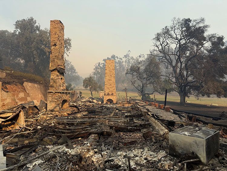
 Photo: California State Parks

April 19, 2023

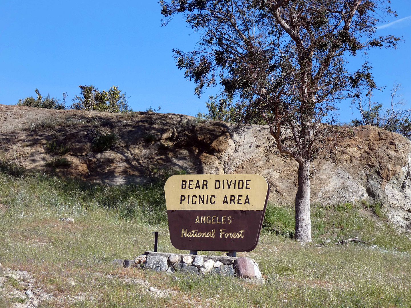
Photo Essay: The Mysteries of Bear Divide, LA's Newest Bird Migration Hotspot

They say that migrating birds have a natural urge to be on the move—one that's triggered by hormones that respond to fluctuations in light. (Think of how darkness triggers the natural release of the hormone melatonin in humans, which is what makes us sleepy at night.)

It's called "Zugunruhe"—and although it can be induced in a lab, we still don't know exactly why it happens. 

There are explanations of rising or dipping temperatures that could cause birds to fly north for the summer or south for the winter. Some theories suggest the migration is dictated by dwindling natural resources, like food and habitat (including nesting areas).

But beyond the question of why, there's an even bigger conundrum: How do they know when and how and where to migrate?

 
Those are some of the multitude of questions that researchers are trying to figure out the answers to at Bear Divide in California's Angeles National Forest. 

January 28, 2023

Photo Essay: Chasing Millard Falls After a Rainy LA Winter

I can still feel my ankles and legs aching from the short hike to Millard Falls yesterday morning. I'm so out of shape—and in such constant pain—that it's gotten to easy for me to decide to just not hike.
      

November 15, 2020

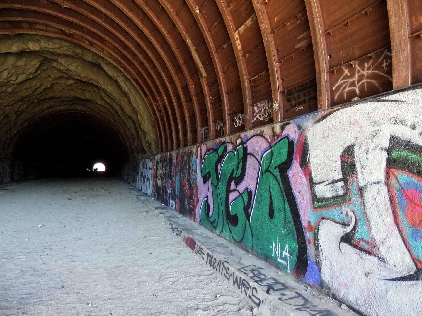
Photo Essay: The Abandoned Project to Save Angelenos from Nuclear Fallout (a.k.a. "Tunnels to Nowhere")

A few years ago, a friend posted about a hike he called the "Tunnels to Nowhere"—and I knew immediately that I had to go. 

But there's a limited season for visiting this particular area—when it's not too hot and sun exposed, and not too wet and wintry. 

And of course most of my weekends have been filled with other activities, save for the last 8 months of the pandemic. 

That being said, I can't remember the last time I went on a proper hike.

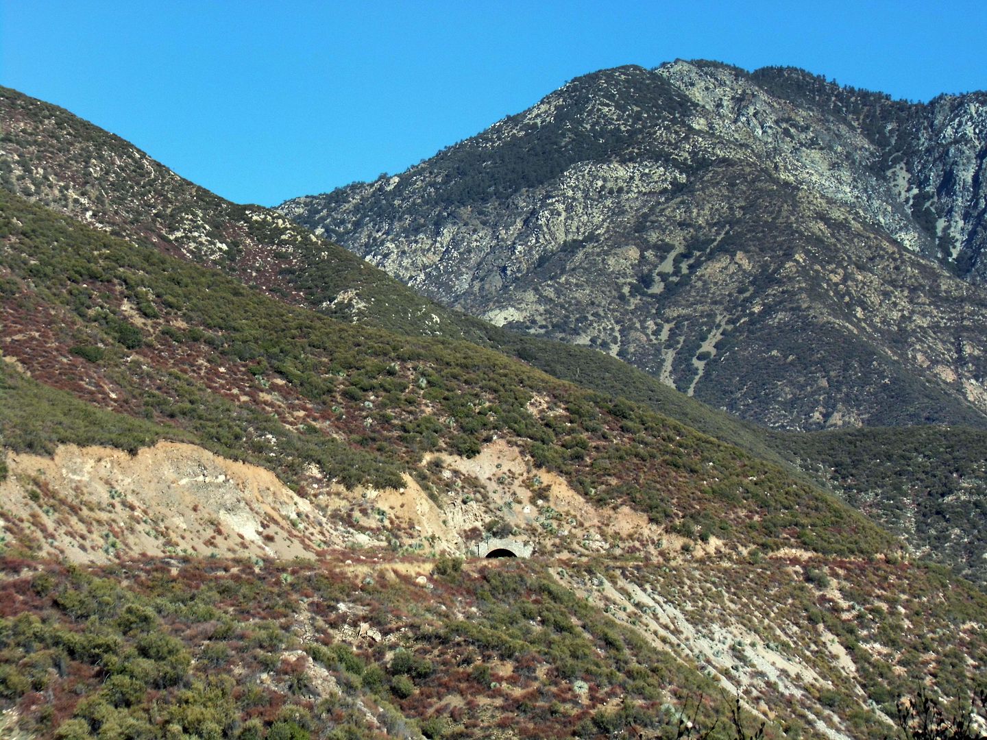
I'd gotten it in my head, though, to spend a pandemic weekend with a friend off the beaten path in search of abandoned tunnels along what some people call the "Road to Nowhere." I'd calculated it at around 5 miles roundtrip and 750 elevation change. 

That would've been absolutely doable for the 2010 version of me. The 2020 version of me? Not so much. 

Spoiler alert: I survived the hike. I even completed the whole thing. But not without crying. 

Still, in the end, despite my tears and blisters and bloody socks and embarrassment, it was worth it. 

 
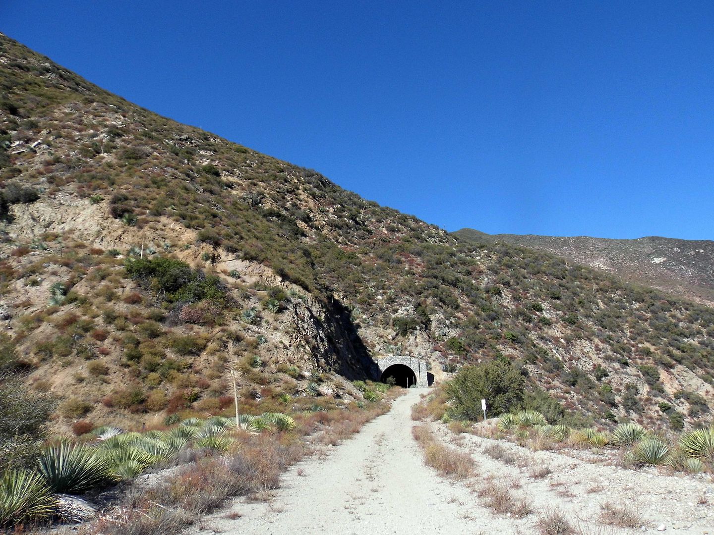
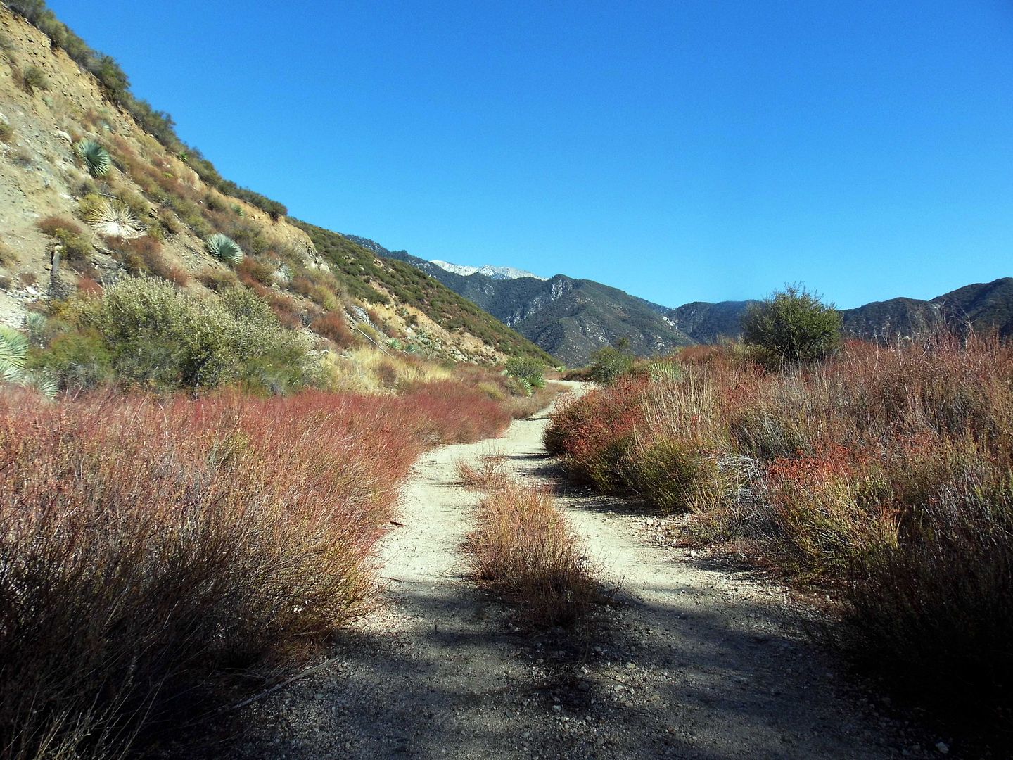
The drive to the trailhead follows the same route as to the Bridge to Nowhere trailhead—following State Route 39 a.k.a. San Gabriel Canyon Road north and turning onto East Fork Road, so named for the eastern fork of the San Gabriel River.

 
But instead of continuing down East Fork, past retaining walls and drainage channels...


...we turned off to tackle the hairpin curves along Shoemaker Canyon Road, named after miner Alonzo Shoemaker, who prospected the canyon during the mid-1800s. 

 
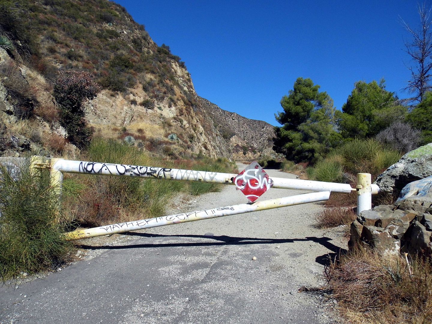
The sign at the juncture warns that Shoemaker Canyon Road is "Not a Through Street"—and true to its word, we hit a locked gate where the pavement ended and parked our cars in the dirt turnout. 

 
This area of the San Gabriel Mountains is part of what was designated in 1984 as wilderness area to preserve bighorn sheep—the Sheep Mountain Wilderness area. 

 
But before conservationists got ahold of it, the Los Angeles County road division set its sights on it for an entirely different purpose. 

 
They were going to blast through the middle of nowhere to create an evacuation route that connected LA with Largo Vista in the Antelope Valley. 

 
It was during the height of the U.S. Cold War effort to prepare in case of a nuclear bomb attack—which might explain why Shoemaker Canyon Road is sometimes called "Armageddon Highway." 

 
Work on the civil defense project, which was supposed to extend for 25 miles, started in 1956. But by the time construction officially stopped in 1969, only about 4 miles of it had been finished.


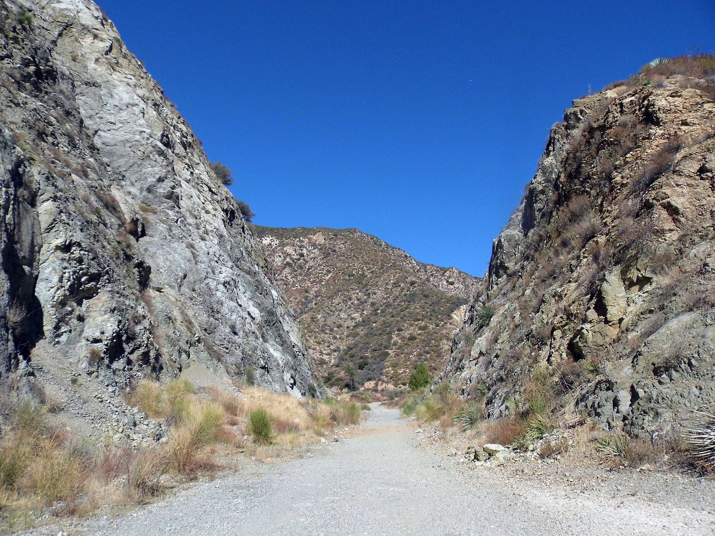
Creating all those road cuts through solid rock proved to be too expensive after county budget cuts—and because much of the work on this dangerous terrain was being done by unskilled inmates from the county sheriff's Detention Camp 14, progress was slow-going. 

 
Over the course of its 16 years of construction, the Department of Corrections' involvement in Shoemaker Canyon Road earned it the nickname "Convict Road." 

 
In the end, what probably doomed the project was how the interest in civil defense programs (like fallout shelters and such) waned during the Nixon administration—though it would be another 20 years before the "official" end of the Cold War and the fall of the Berlin wall. 

 
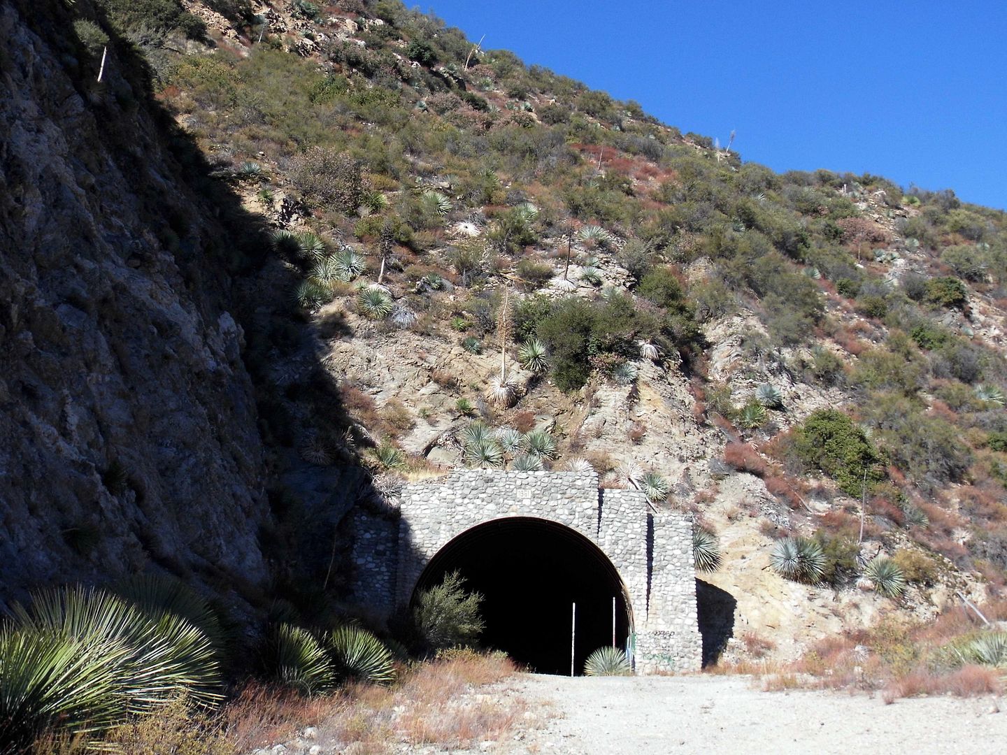
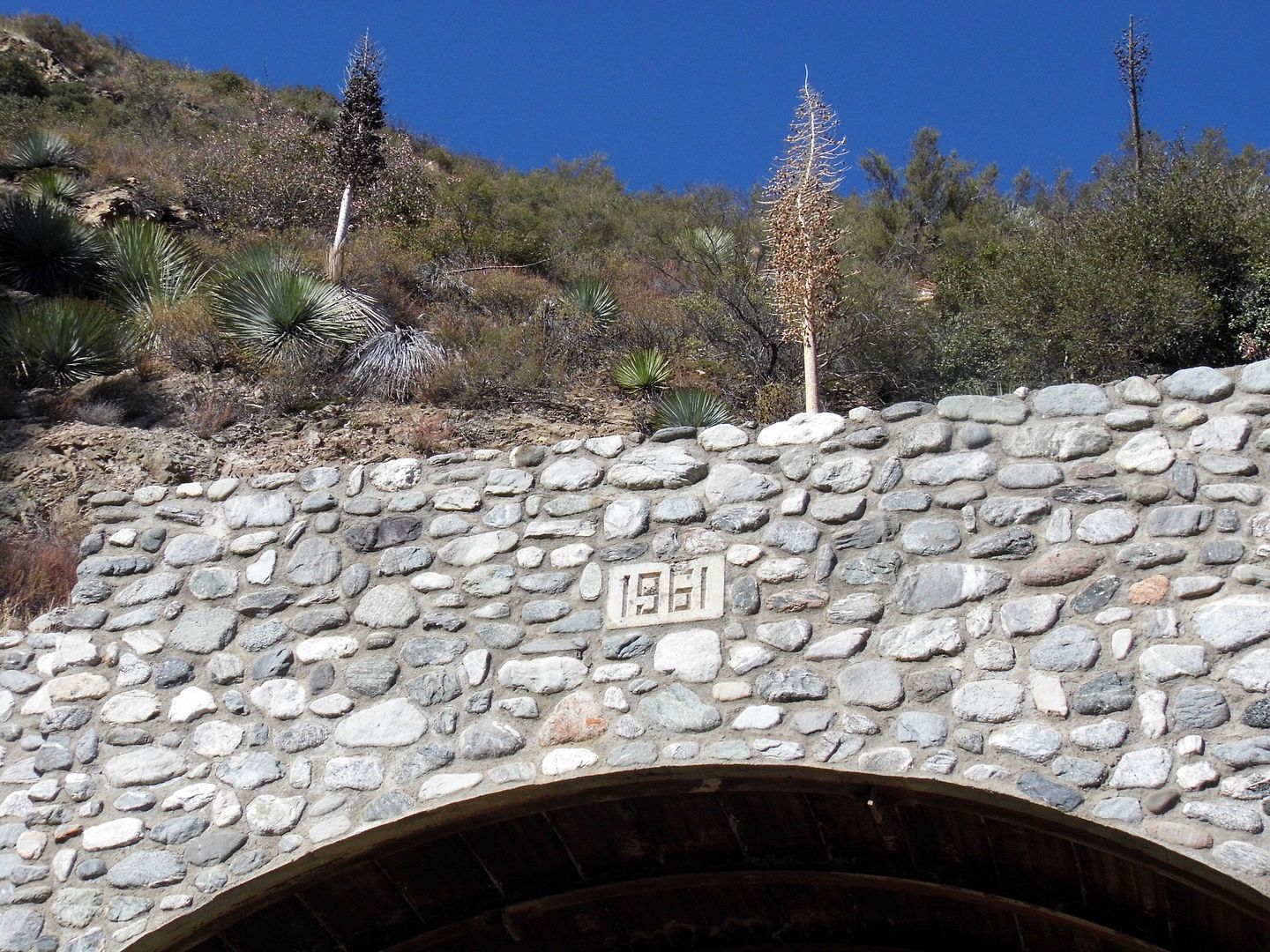
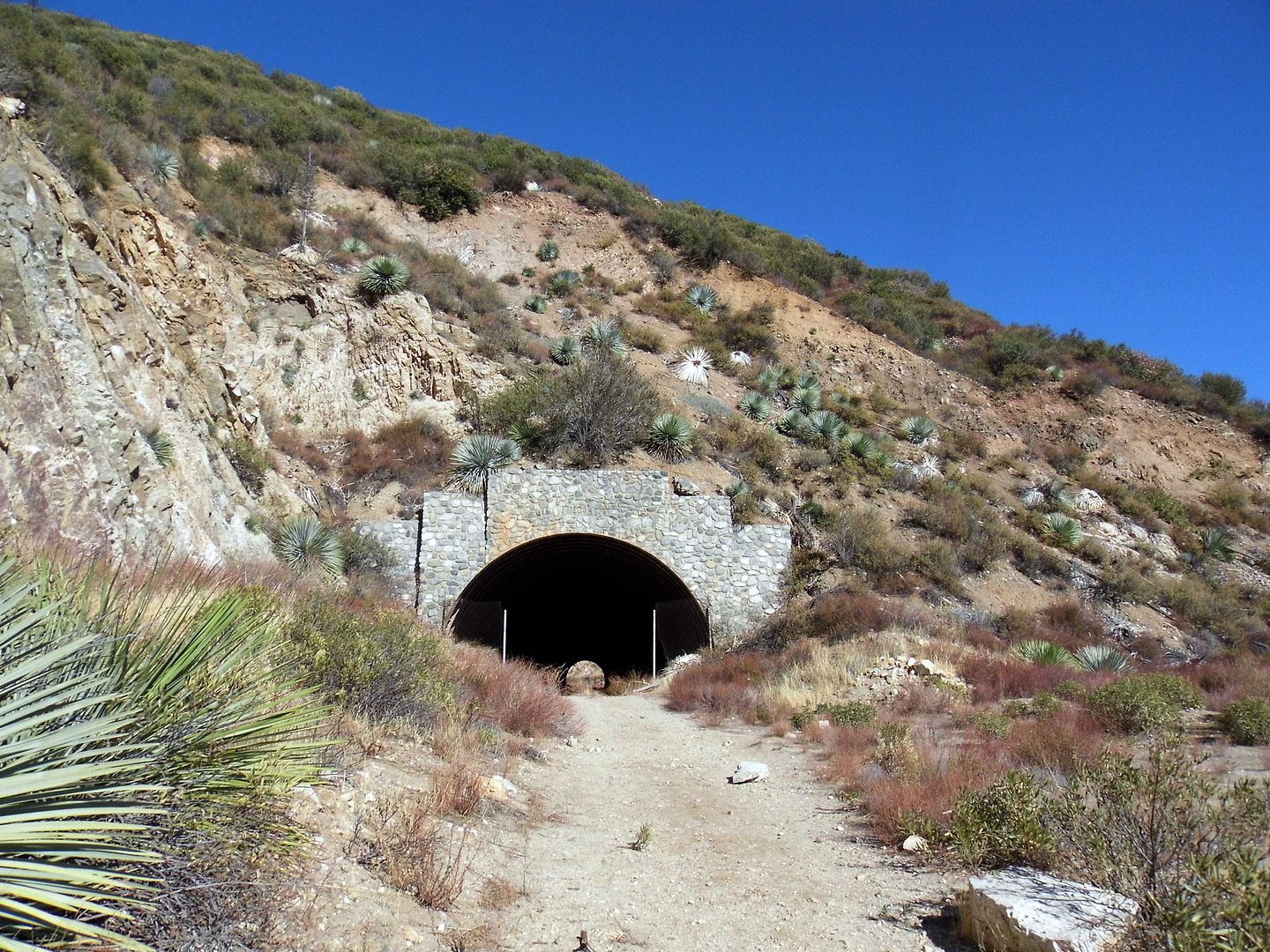
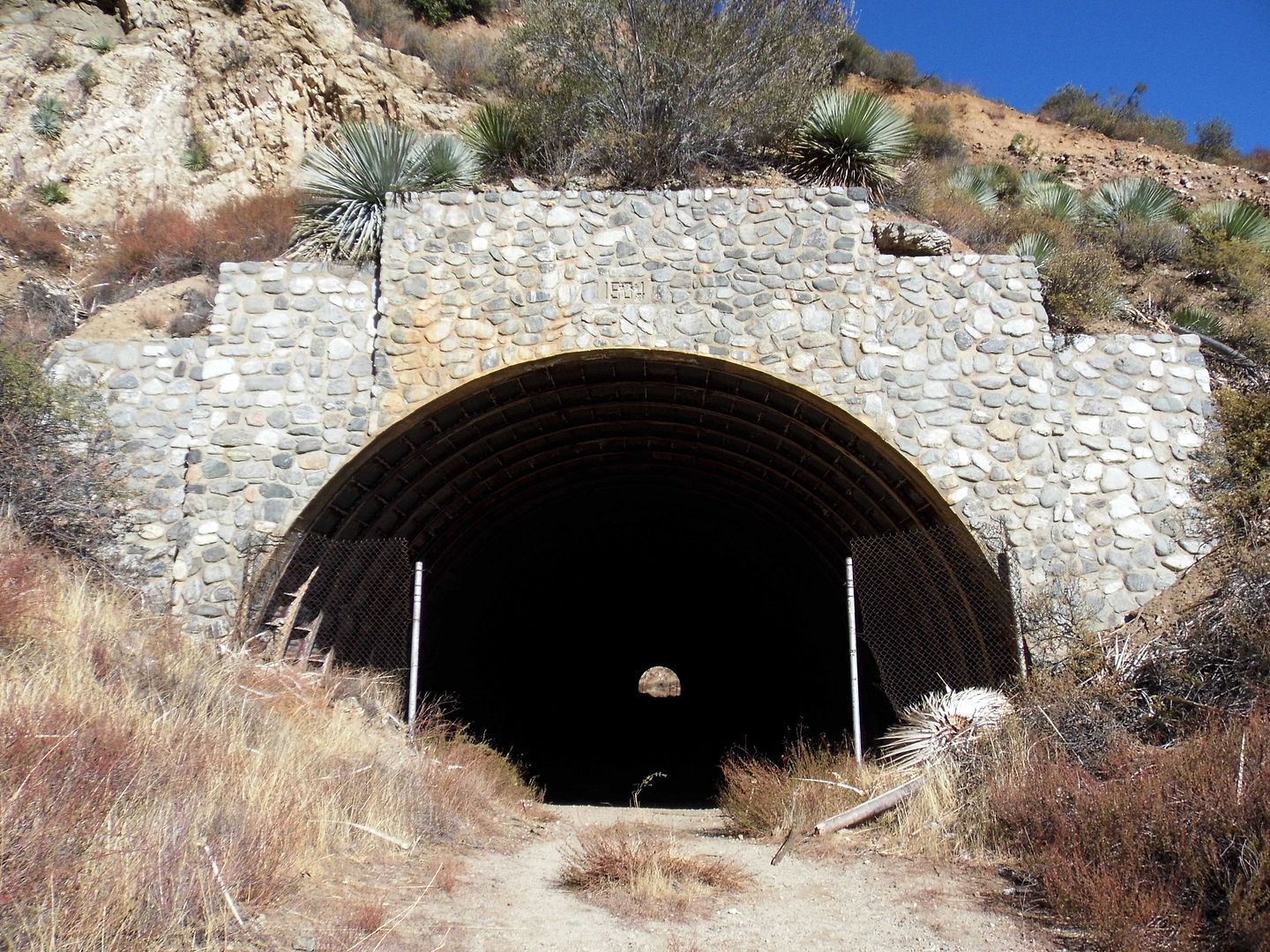
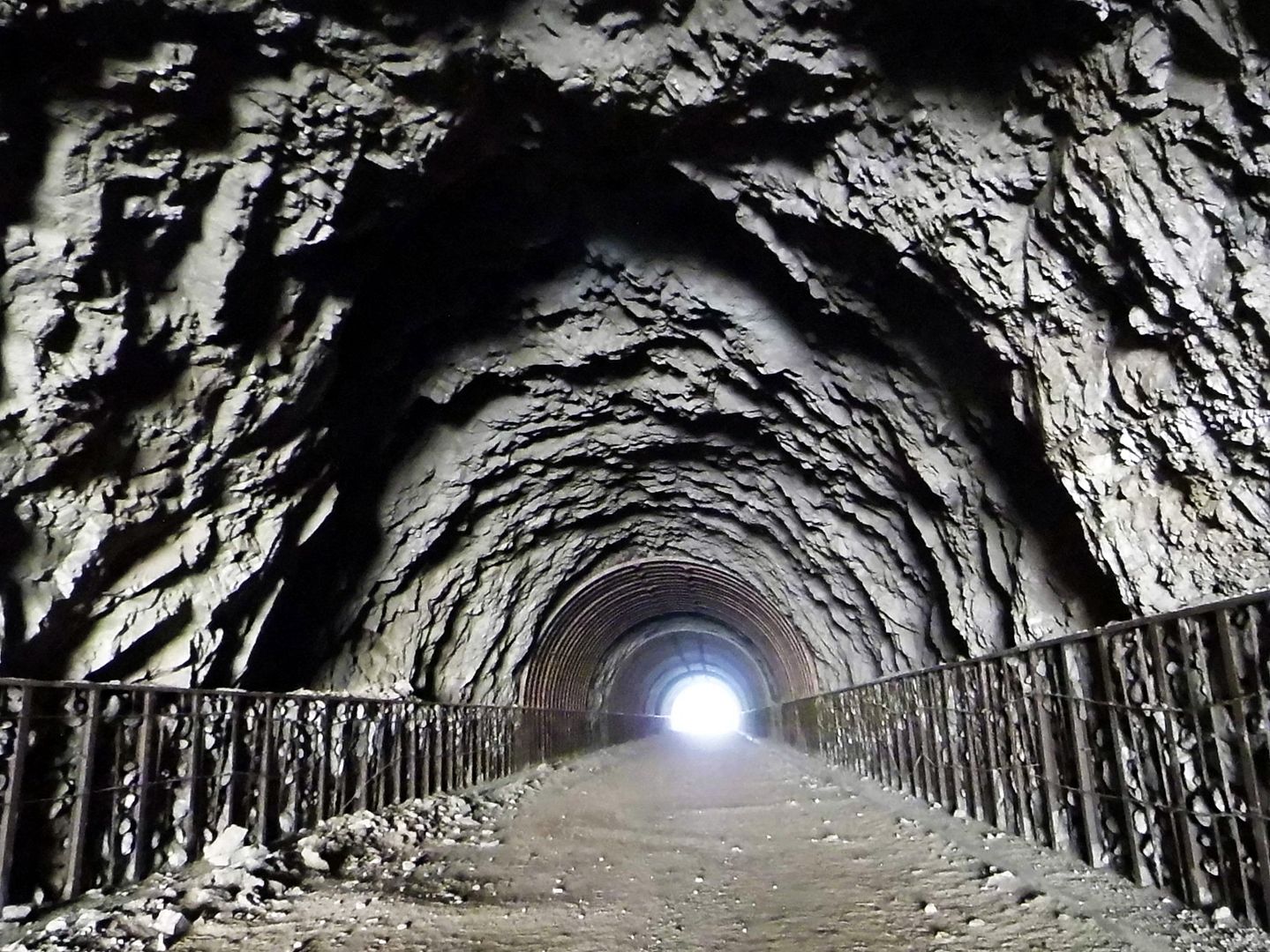
There were two tunnels completed between 1956 and 1969...

 
...the first as early as 1961. 

 
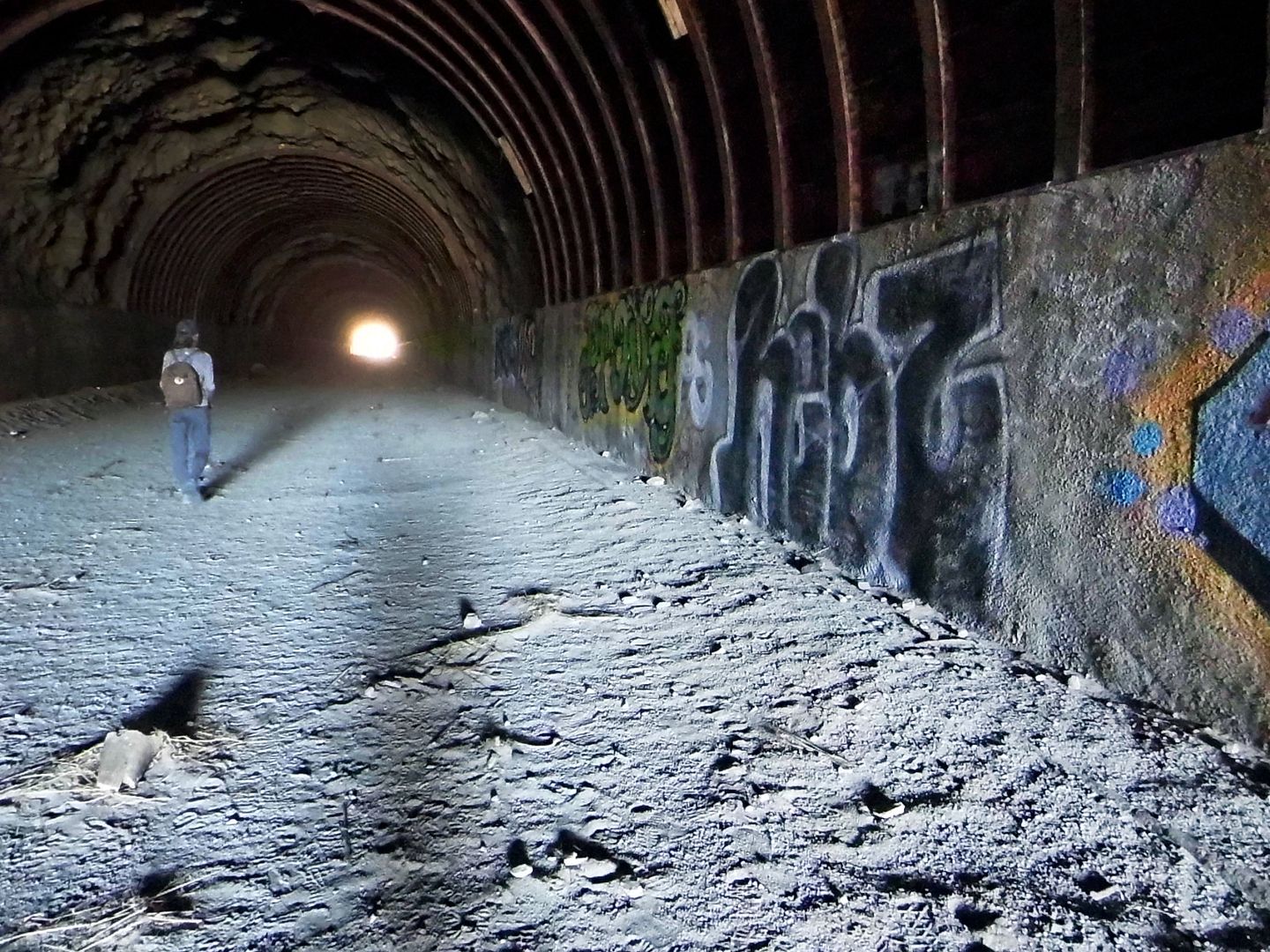
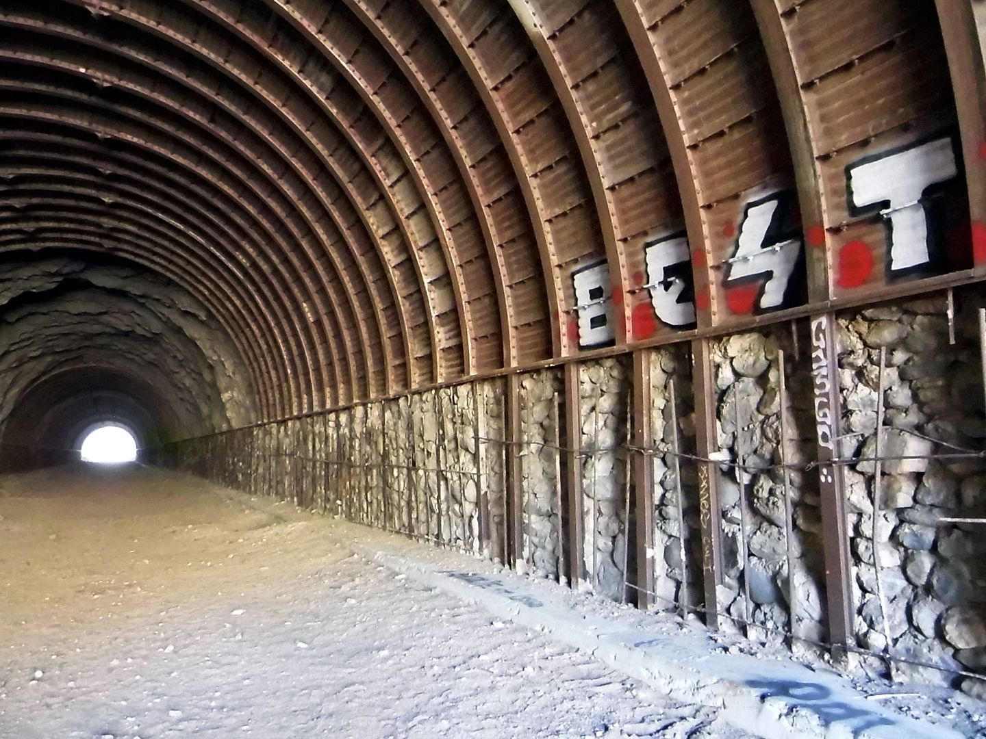
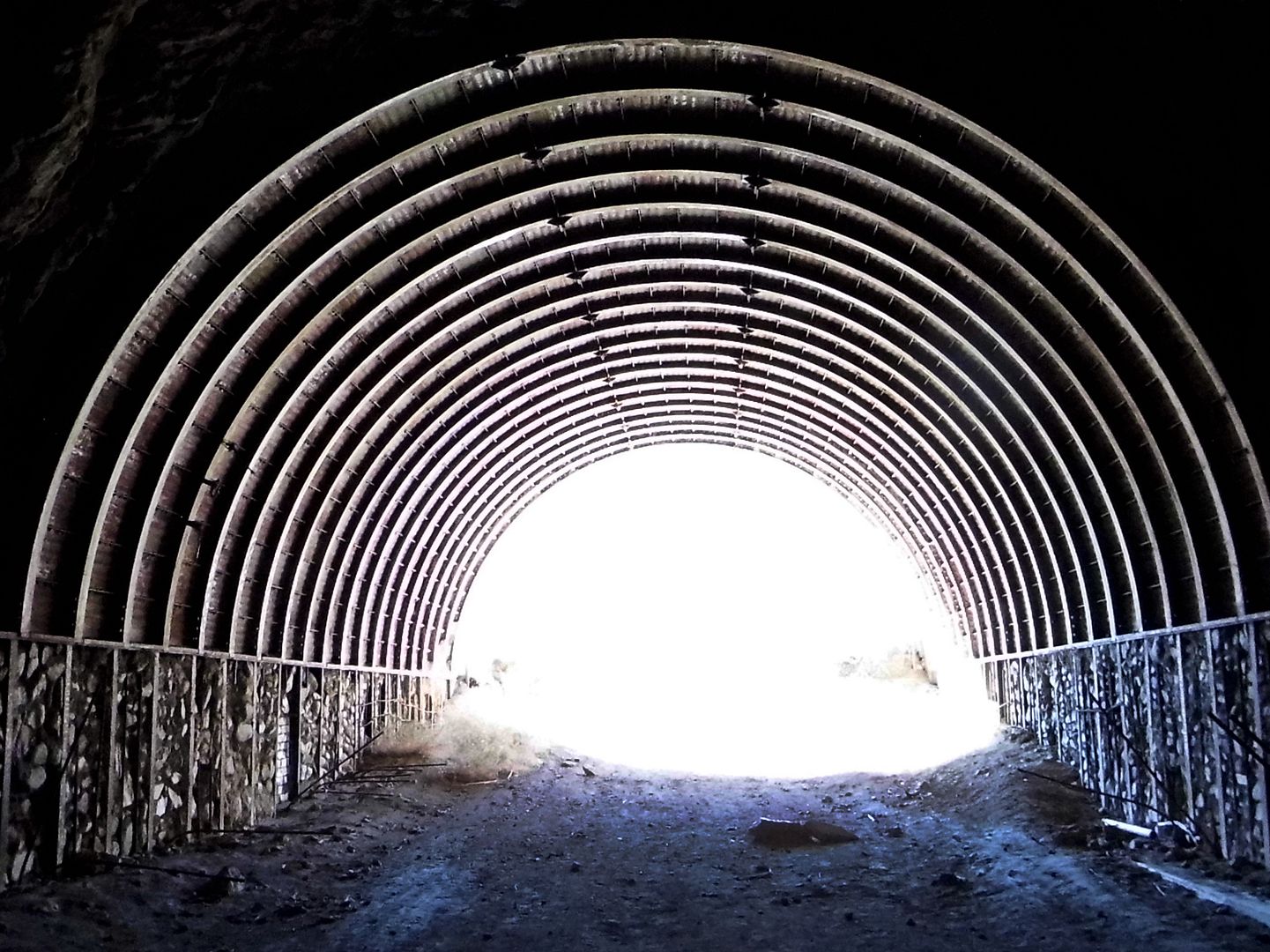
Both tunnels are similar in construction...

 
...including interlocking steel beams and raw, blasted-through rock...

 
...although the first one is longer than the second. 

 
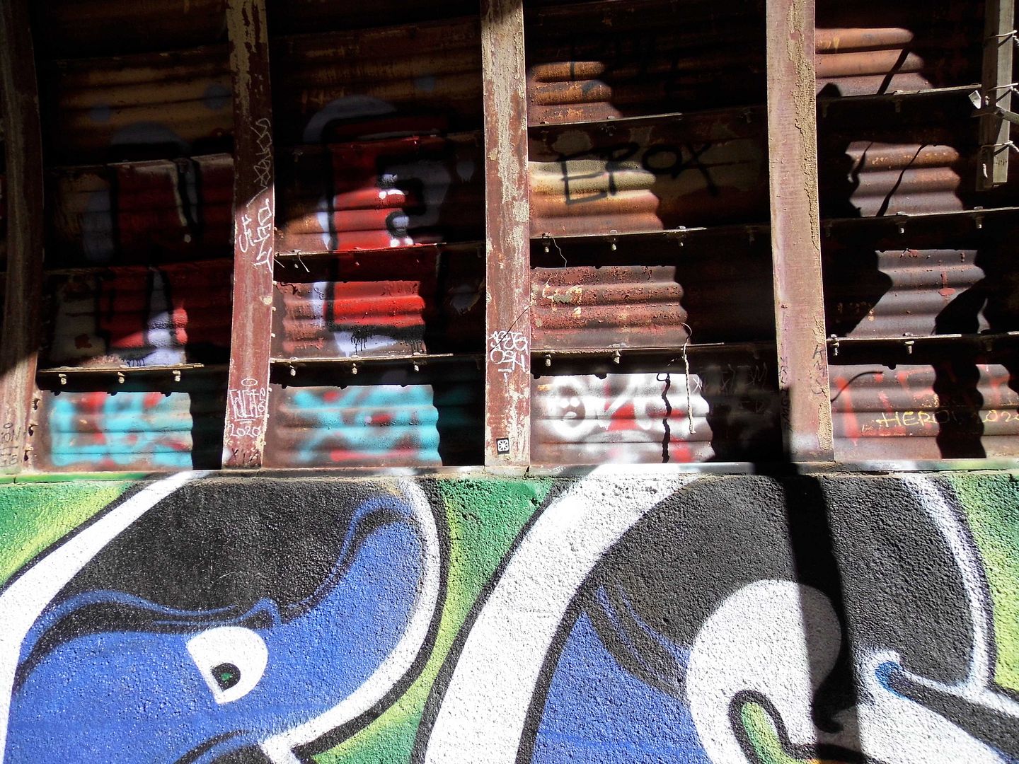
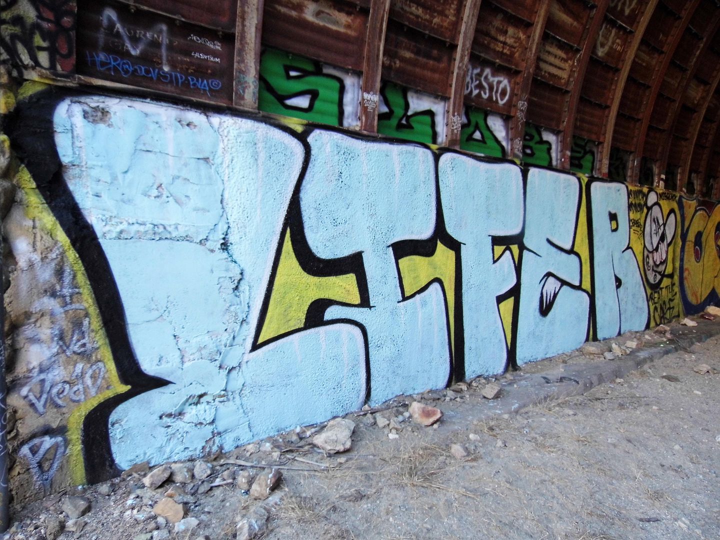
Taggers have made their mark on both abandoned tunnels, as taggers do. 

 
The path to the second tunnel was never bridged...

 
...so to get to it, we had to trudge along a horseshoe-shaped curve on foot. 

 
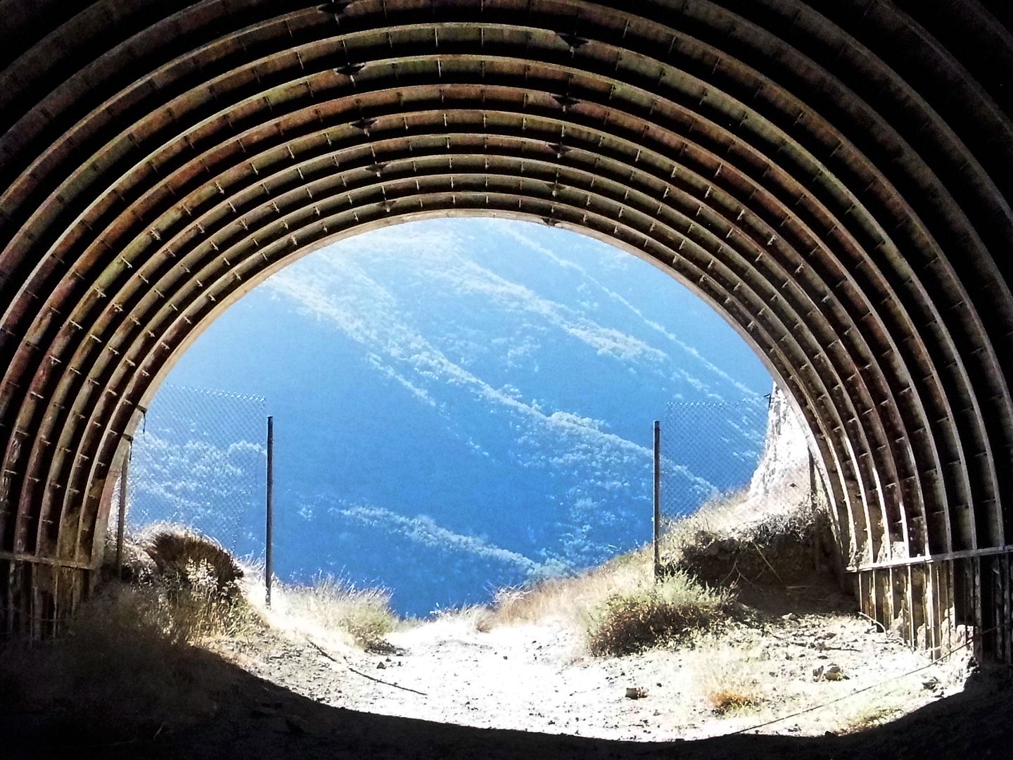
This later tunnel, circa 1964, marks the end of the hike...

 
...but of course we couldn't turn around before walking through to the very end. 

 
The second tunnel appears to be more unfinished than its predecessor, with rebar holding in some exposed piles of rocks and cinder blocks. 

 
It was cool and breezy in those tunnels—not dark enough for a flashlight or headlamp, but sheltered enough to make us feel like we were underground, though we could see daylight at both ends. 

 
The completionist in me was relieved to see everything there was to see, especially considering I hadn't been sure I could even make it to the first tunnel. 

 
But as soon as we hit the wilderness on the other side, where the road just kind of ends unceremoniously, I knew we still had to double-back and retrace our steps back to our cars. 

It was discouraging to have such a hard time on what would be widely considered a relatively easy hike. But if I never hike again, I'm glad that this will have been my last. 

August 14, 2019

Unpopular Opinion: Closing Wildlife Waystation Is the Right Thing to Do

My mother used to tell me, "If you don't have anything nice to say, don't say anything at all."

I took that to heart. (I wish she had.)

So, I try not to embark on smear campaigns when a person, place, or experience doesn't meet my expectations. If I write about it at all, it's about my feelings.

But I try to give the benefit of the doubt most of the time—that intentions are pure, that people are doing the best they can.


However, I've been tight-lipped long enough when it comes to Wildlife Waystation, the animal rescue/sanctuary in Angeles National Forest that just announced its abrupt closure and surrender of permits.


When I visited back in 2017, my heart ached for those big cats.


Their fenced-in enclosures weren't big enough and didn't provide enough hiding spaces.


Exposed to the heat and sun, all they could do was sleep.


And the ones who were awake seemed agitated.


Wildlife Waystation had been around since 1976—and its heart was bigger than its wallet.


It couldn't turn down an animal that needed rescue—but it just didn't have the facilities to properly protect and shelter them, especially not from the flames of the Sand Fire and the Creek Fire, both of which besieged the sanctuary and literally put these critters in the line of fire without proper permanent backup generators.


It had a team of passionate, hardworking volunteers—but the task was really insurmountable.


I know that there are people who will defend Wildlife Waystation to the hilt, but the best thing for these animals is for this organization to dissolve and for the California Department of Fish and Wildlife to relocate them.


Maybe The Gentle Barn can take some of the farm animals, like the llamas, sheep, and goats. There's plenty of space to roam there—and tons of love and gentleness.


Maybe Lions, Tigers, and Bears can take the big cats and bears. Their enclosures are huge and the animals there seem plenty stimulated and enriched.


There are better homes out there for these animals (of which there are hundreds).


I think Wildlife Waystation founder Martine Colette knew that when she retired earlier this year. She'd already said that they were at the end of their rope—back in 2011, when it was reported to be in "dire financial state."


She'd had to close Wildlife Waystation to the public a decade before that because the enclosures weren't secure enough to allow public access. After that, you could only visit if you volunteered or bought a high-priced ticket to a special event.

I managed to get in two years ago, on one of the few tours that had been offered in my 8 years in LA—a tour that required me to become a supporting member of Wildlife Waystation.

When I took the tour, I noticed what a ghost town the sanctuary seemed to be. Where were all the volunteers and support staff?

It turns out a large swath of them had been let go in 2016.

Wildlife Waystation hasn't been in compliance with regulations in a long time. It's not allowed to breed its animals—but when cubs are born onsite, it just says "Oops!"

There's a lot of stuff that's happened with Wildlife Waystation that should've raised suspicions long ago. In my research for this essay, I came across another blog post that's been chronicling some of the dodgy activity since at least 2012, based on newspaper clippings and public records. It's worth a read.

We may never know what happens to the majority of those animals currently housed in Little Tujunga Canyon. If any are sick, they'll likely be euthanized.

Then again, they might've been euthanized years ago, if Wildlife Waystation hadn't taken them in.

No one can say that Wildlife Waystation didn't help any animals. But it didn't give them the help that they deserve.

Related Posts:

In Captivity
Photo Essay: On a Short Leash

April 14, 2019

Photo Essay: Bridging the Gap Between Northern and Southern California

If nothing else, the construction of the "Ridge Route" mountain highway connected Southern California to our neighbors to the north. Some say that California might've split into two different states (North and South) without it.

That's why the Ridge Route Communities Museum and Historical Society, founded in 1996 and relocated to Frazier Park in 2003, covers all of the areas north of Castaic and south of Bakersfield.


Those mountain communities lie within the borders of three separate counties (Ventura, LA, and Kern) and across two national forests (Angeles and Los Padres, the latter formerly known as Pine Mountain Forest Reserve and Santa Barbara National Forest).


circa 2015

Driving on the Ridge Route is one thing—and was my bucket list item—but I wouldn't have known about it in the first place, had I not stopped to gawk at the museum's replica of a 1920s-era gas station.


circa 2015

One like this would've been located somewhere along the Ridge Route—in fact, in several places along the highway, since the harrowing ride necessitated services being available around every curve.


circa 2015

Gas would've been hand-pumped by a station attendant, who'd feed it into your Model T's gas tank by gravity.


circa 2015

And a mechanic would've been standing by—maybe under a shade tree—to fix a flat, faulty wiring, or anything else that kept you going on your merry way.


circa 2015

It turns out that the Ridge Route Communities Museum also functions as a repository for relics from the lost businesses of the Ridge Route—like the lampposts from the Spanish Colonial Revival-style Lebec Hotel, which burned and was razed in 1971.


Traveling on the Ridge Route now requires a good imagination—because you're pretty much only looking at where gas stations, rest stops, and hotels used to be.


The collection at the Ridge Route Communities Museum makes the memories of those lost businesses more tangible—even if just through broken shards from Caswell's or Sandberg's Summit Inn.


The Ridge Route may be abandoned now...


...but once upon a time, it was hopping.


On the museum grounds, you can even spot remnants of the road itself—historical "C" markers, put in place by California Highway Commission to provide survey points and mark the right-of-way. These markers were representative of the program to expand transportation services across the country.


circa 2015

You can also see antique equipment that was used in the building of the Ridge Route...


circa 2015

...including a cement mixer used from 1915-25 that was drawn by mules...


...with a drum that was run by 2-cylinder gas engine.


circa 2015

Other industrial relics onsite speak more to the communities surrounding the Ridge Route, rather than the route itself...


circa 2015

...including a horse-drawn "sulky plow," the riding plow that replaced walking plows when it was invented for John Deere in 1875.


circa 2015

Knobs, spigots, and wheels abound, with no obvious purpose...


...though some make for some mighty fine decoration.


circa 2015

You can also see the log cabin of the first non-Native American settlers at the Ventura/Kern county line, just west of Frazier Park.


circa 2015

The Cuddy family established the Lake of the Woods area—named by Mrs. Florence Hollenbeck Cuddy—although the reservoir "lake" has since been emptied.


circa 2015

These communities may have outlived this "dead" or "ghost" highway, but they might never have been established without it.

Maybe one day the 5 Freeway will become obsolete—either because we need even more lanes or because we're flying over it or tunneling under it.

And there's still talk of splitting California into two (or three) states.

So who knows what the future will bring?

I'm still trying to understand the past.

Related Posts:
Photo Essay: The Forgotten Highway Between LA and Bakersfield
Photo Essay: Hiking Old San Francisquito Canyon Road, Along the Path of the St. Francis Dam Flood
Photo Essay: The Road That Google Maps Forgot, Old Hwy 62
Photo Essay: The Rusty Ruin of Antique Machinery